Elevation of Claudville Highway, Claudville Hwy, Claudville, VA, USA
Location: United States > Virginia > Patrick County > Dan River > Claudville >
Longitude: -80.435645
Latitude: 36.5796054
Elevation: 388m / 1273feet
Barometric Pressure: 97KPa
Elevation Map:
Satellite Map:
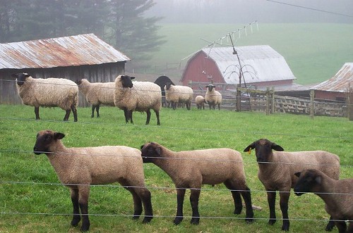
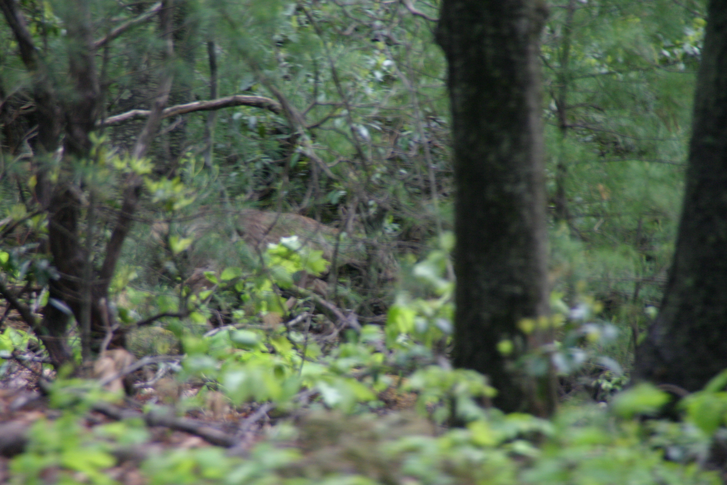
Related Photos:

Starry swirl on the Blue Ridge Parkway.
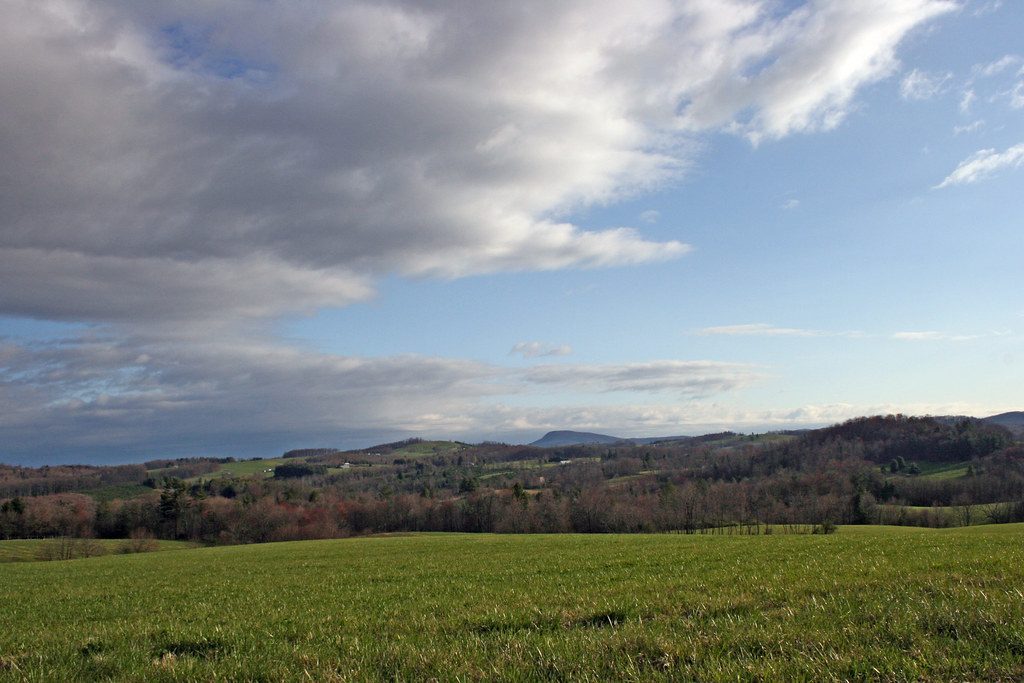
The Rolling Blue Ridge Mountians
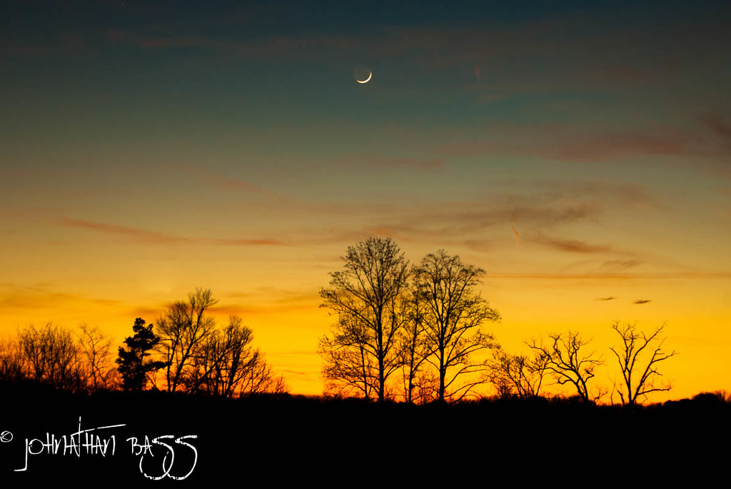
Waning Cresent
2942 View Pilot Mountain Img_14103
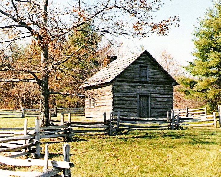
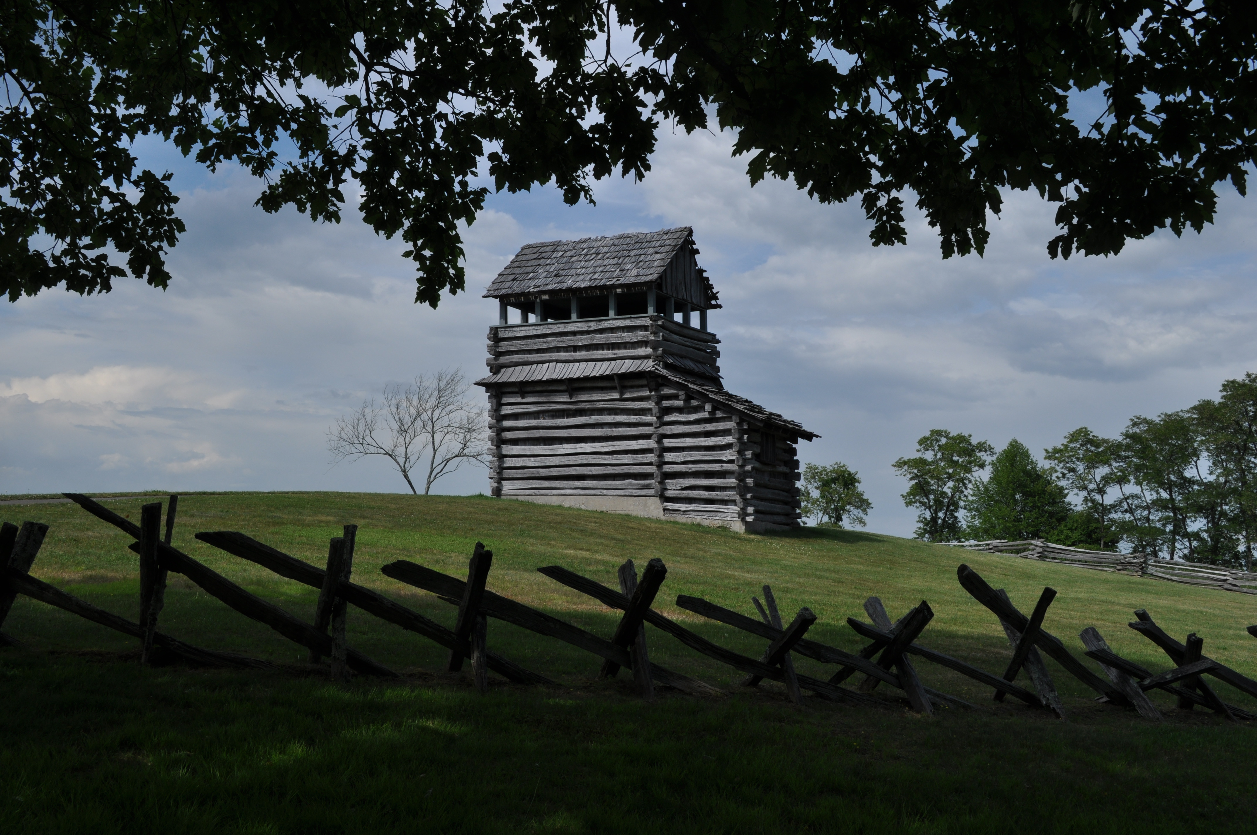
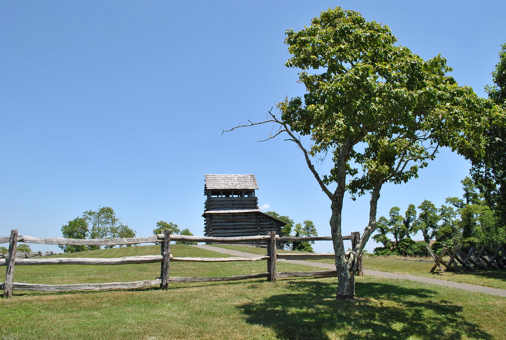
Puckett Cabin
2939 View Pilot Mountain Img_14100
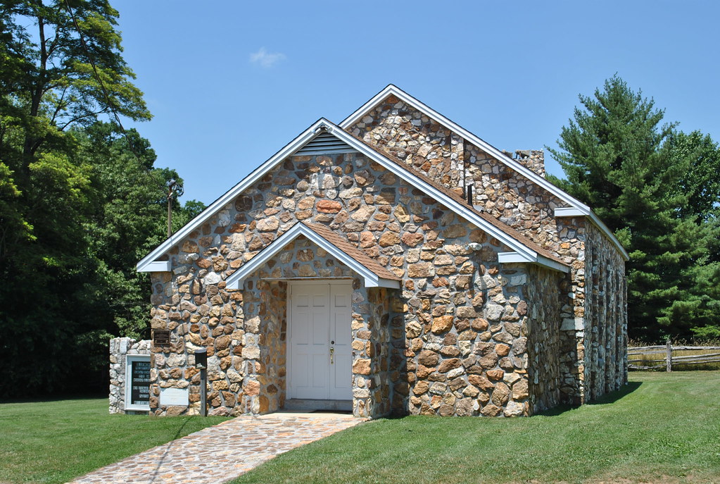
BLUEMONT PRESBYTERIAN CHURCH

2944 View Pilot Mountain Img_14105
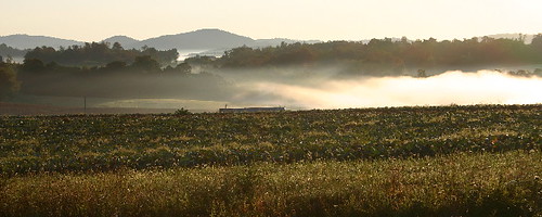
the morning fog
GROUND HOG MOUNTAIN
View down from the top
View from Above
2937 View Pilot Mountain Img_14098
View down from the top

Granite Headquarters
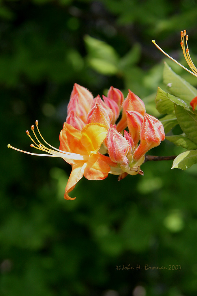
Flame azalea, opening

View from the top
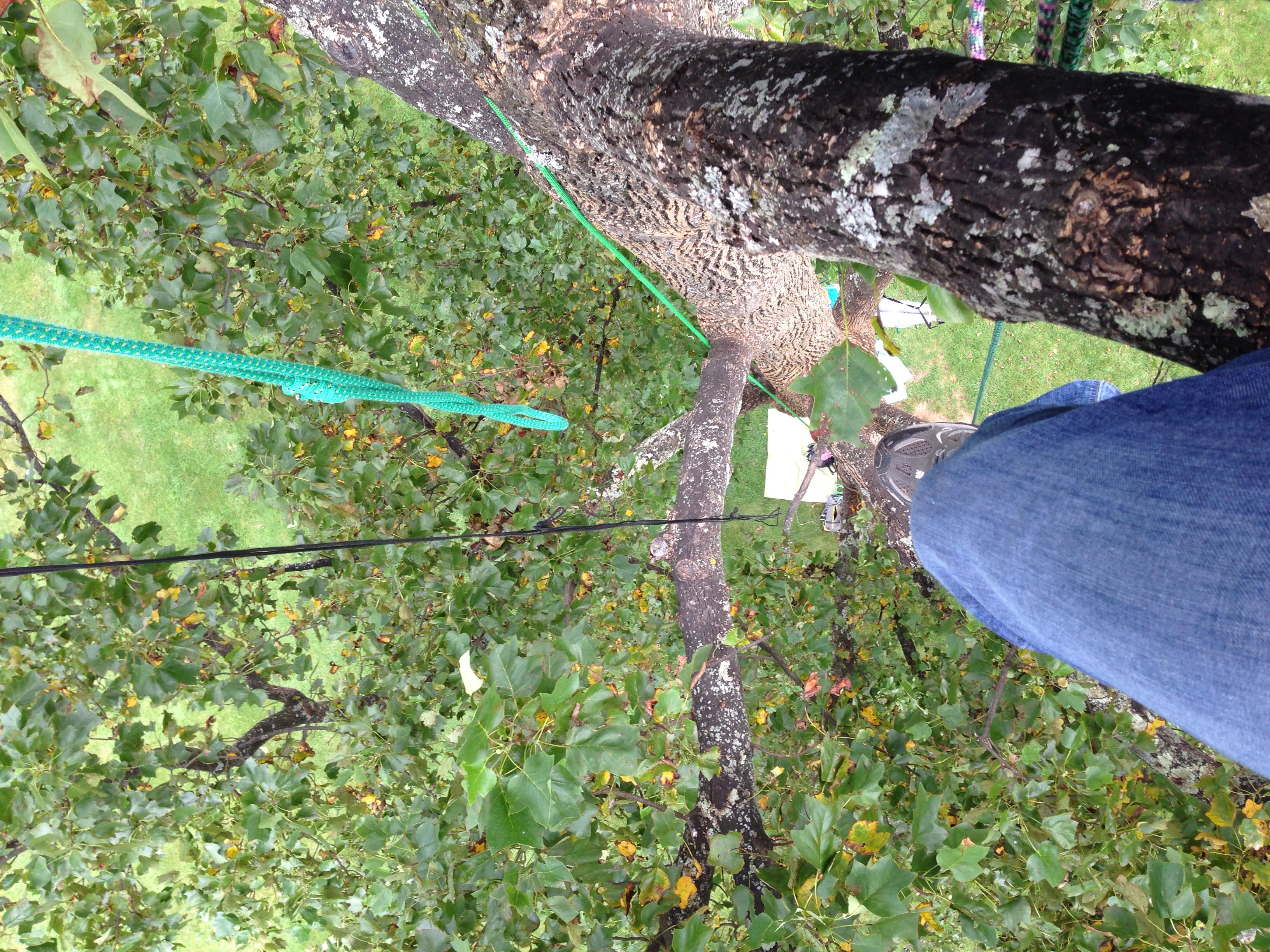
View down from the top
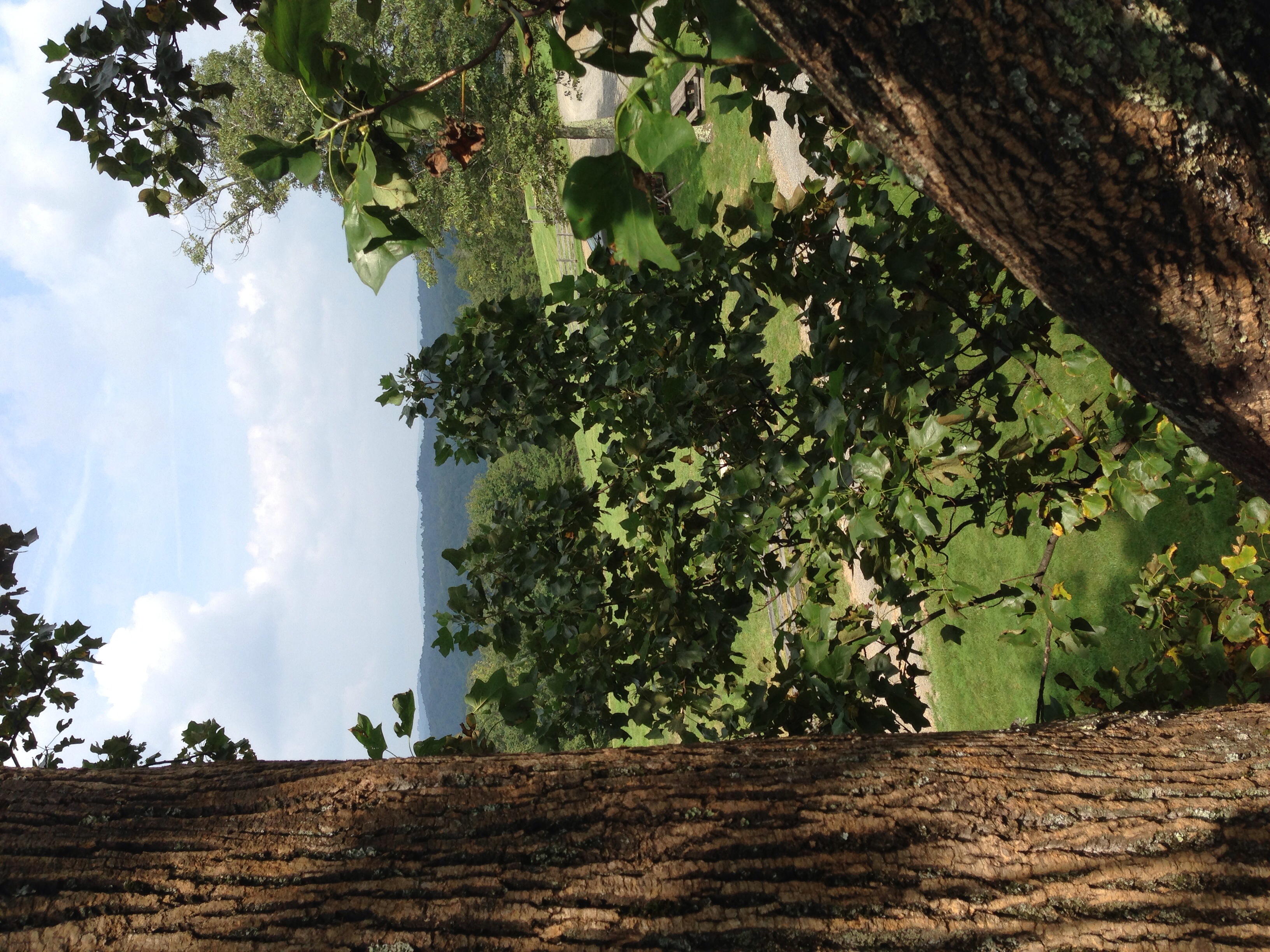
View from the top

View From Ground Hog Mountain
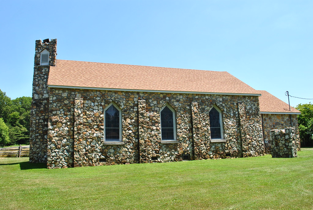
BLUEMONT PRESBYTERIAN CHURCH

One Old Chevy

Tree's
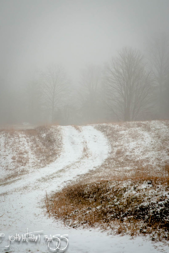
Snowy Path to the Fog

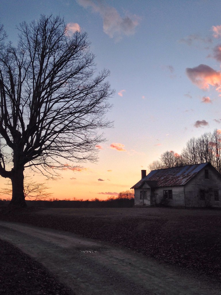
Fading Farmstead
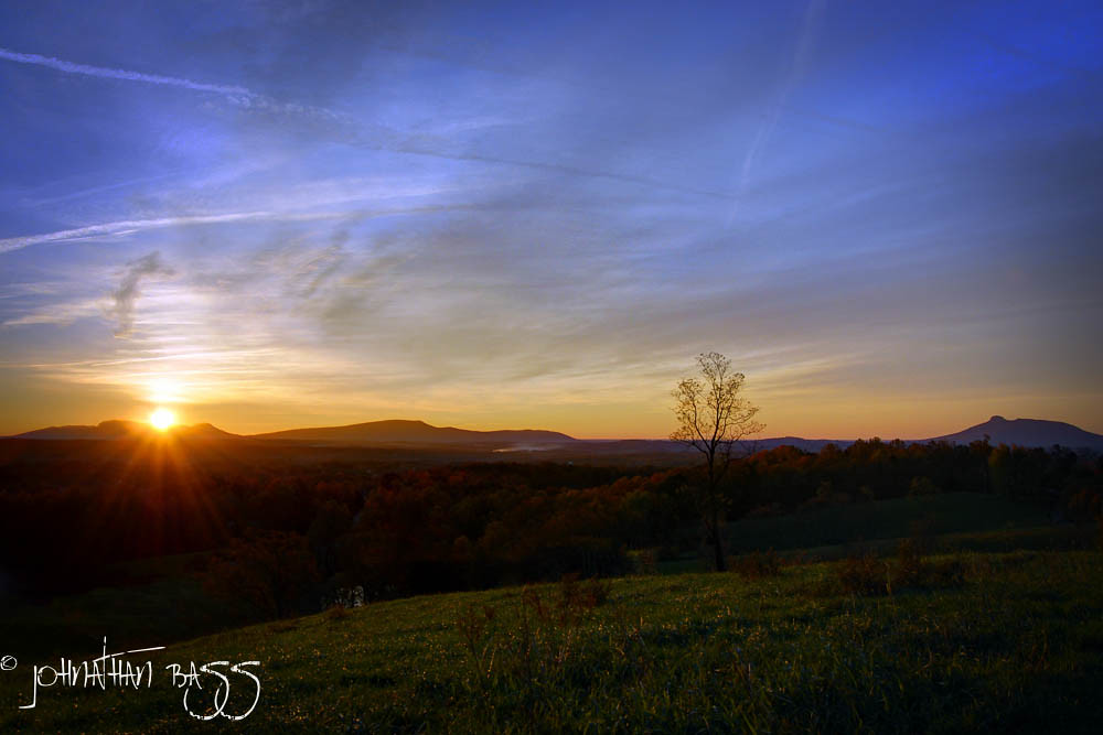
Chestnut Ridge Sunrise
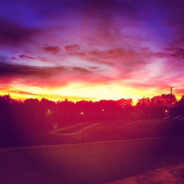
Because there aren't enough pretty #sunset pictures on Instagram...

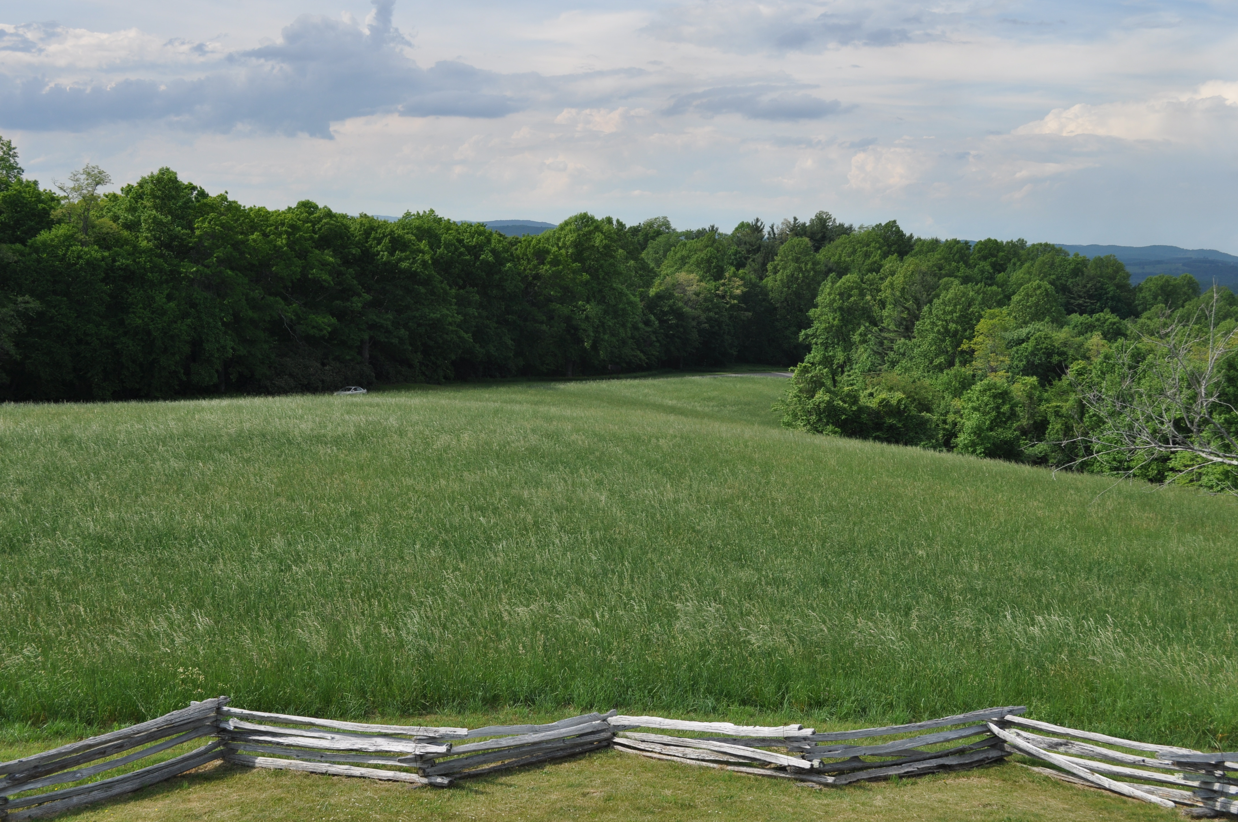
Fields of Green

Small Mountain Stream

Chairs tucked away.

Tree's

Barn, Blue Ridge Parkway

A wave is trying to break out at dawn.
Country Evening
Foggy Spring Day

Storm over the Orchard
Blue Ridge Parkway (88)

Wave clouds all up close and personal.
Topographic Map of Claudville Highway, Claudville Hwy, Claudville, VA, USA
Find elevation by address:

Places near Claudville Highway, Claudville Hwy, Claudville, VA, USA:
3976 Claudville Hwy
3976 Claudville Hwy
3976 Claudville Hwy
1291 Red Bank School Rd
1291 Red Bank School Rd
1291 Red Bank School Rd
1291 Red Bank School Rd
1291 Red Bank School Rd
Ararat Hwy, Claudville, VA, USA
Simmons Road
Claudville
State Route 645
Claudville, VA, USA
Dan River
8035 Ararat Hwy
Mitchells Mill Road
Kibler Valley Rd, Ararat, VA, USA
229 Old Orchard Loop
Little Dan River Road
Primland
Recent Searches:
- Elevation of Congressional Dr, Stevensville, MD, USA
- Elevation of Bellview Rd, McLean, VA, USA
- Elevation of Stage Island Rd, Chatham, MA, USA
- Elevation of Shibuya Scramble Crossing, 21 Udagawacho, Shibuya City, Tokyo -, Japan
- Elevation of Jadagoniai, Kaunas District Municipality, Lithuania
- Elevation of Pagonija rock, Kranto 7-oji g. 8"N, Kaunas, Lithuania
- Elevation of Co Rd 87, Jamestown, CO, USA
- Elevation of Tenjo, Cundinamarca, Colombia
- Elevation of Côte-des-Neiges, Montreal, QC H4A 3J6, Canada
- Elevation of Bobcat Dr, Helena, MT, USA