Elevation of Cisco Rd, Washington Court House, OH, USA
Location: United States > Ohio > Fayette County >
Longitude: -83.342158
Latitude: 39.491454
Elevation: 277m / 909feet
Barometric Pressure: 98KPa
Elevation Map:
Satellite Map:
Related Photos:
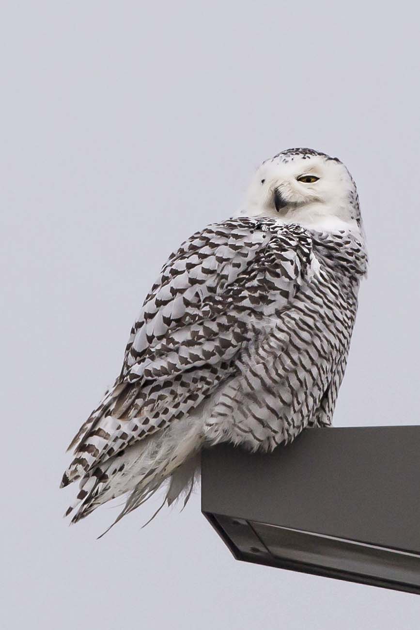
SNOWY OWL

Snowy Owl (Finally)

SNOWY OWL
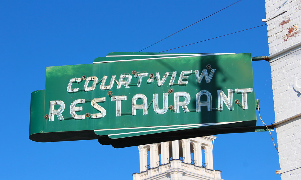
Court-View Restaurant
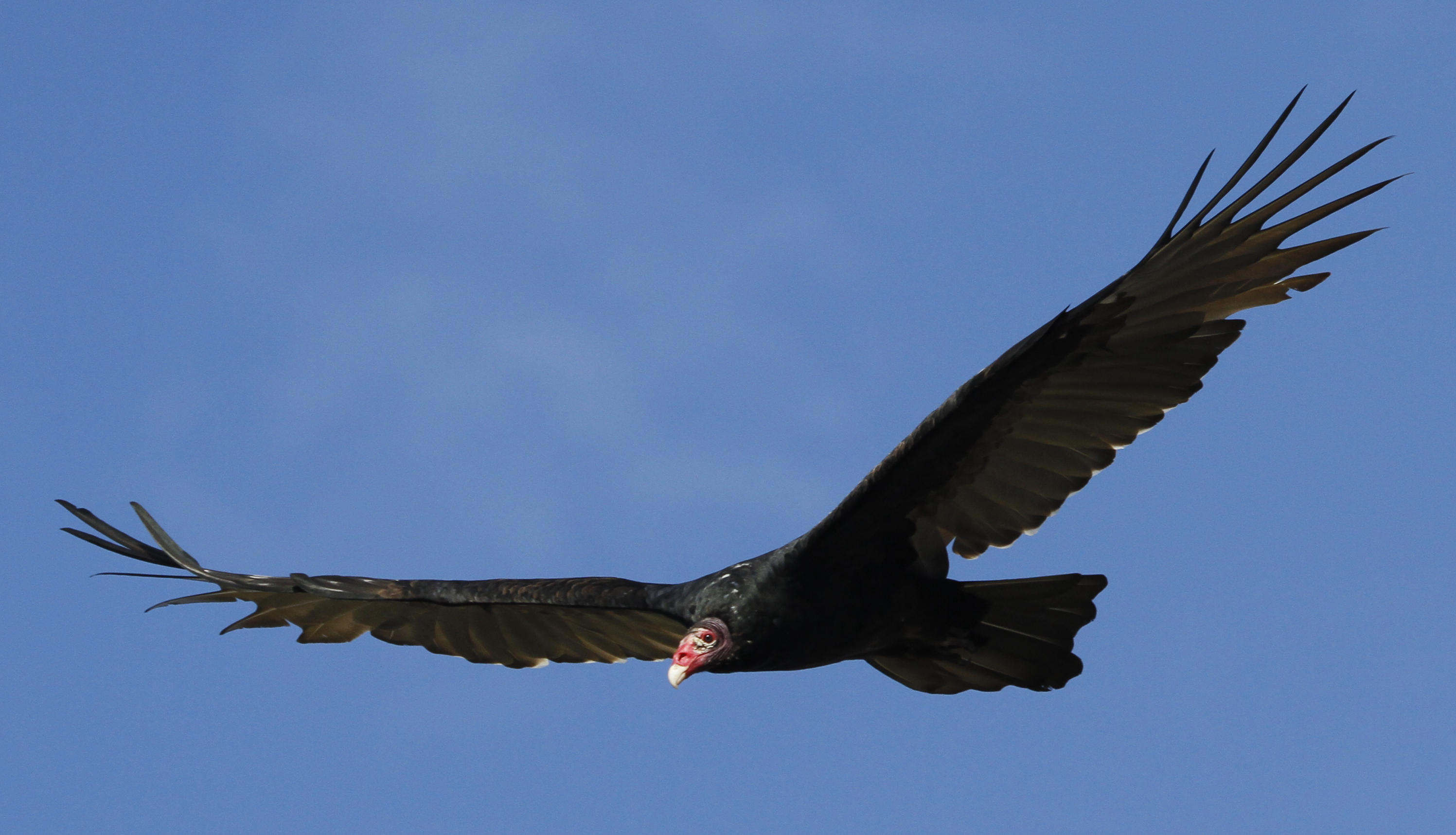
Turkey Vulture
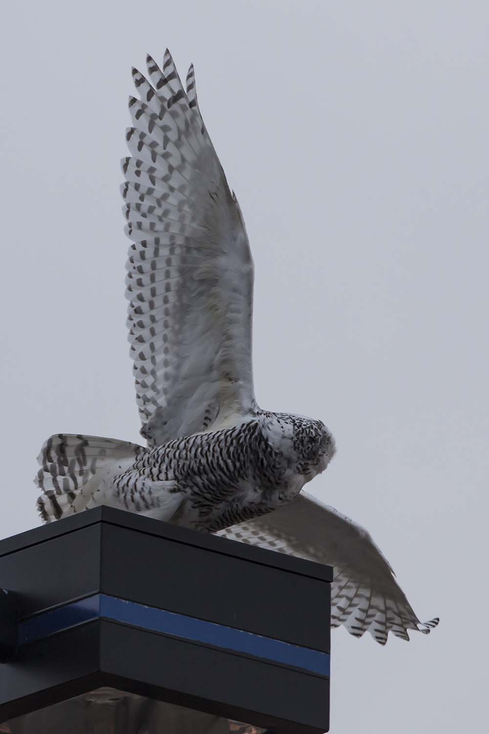
SNOWY OWL
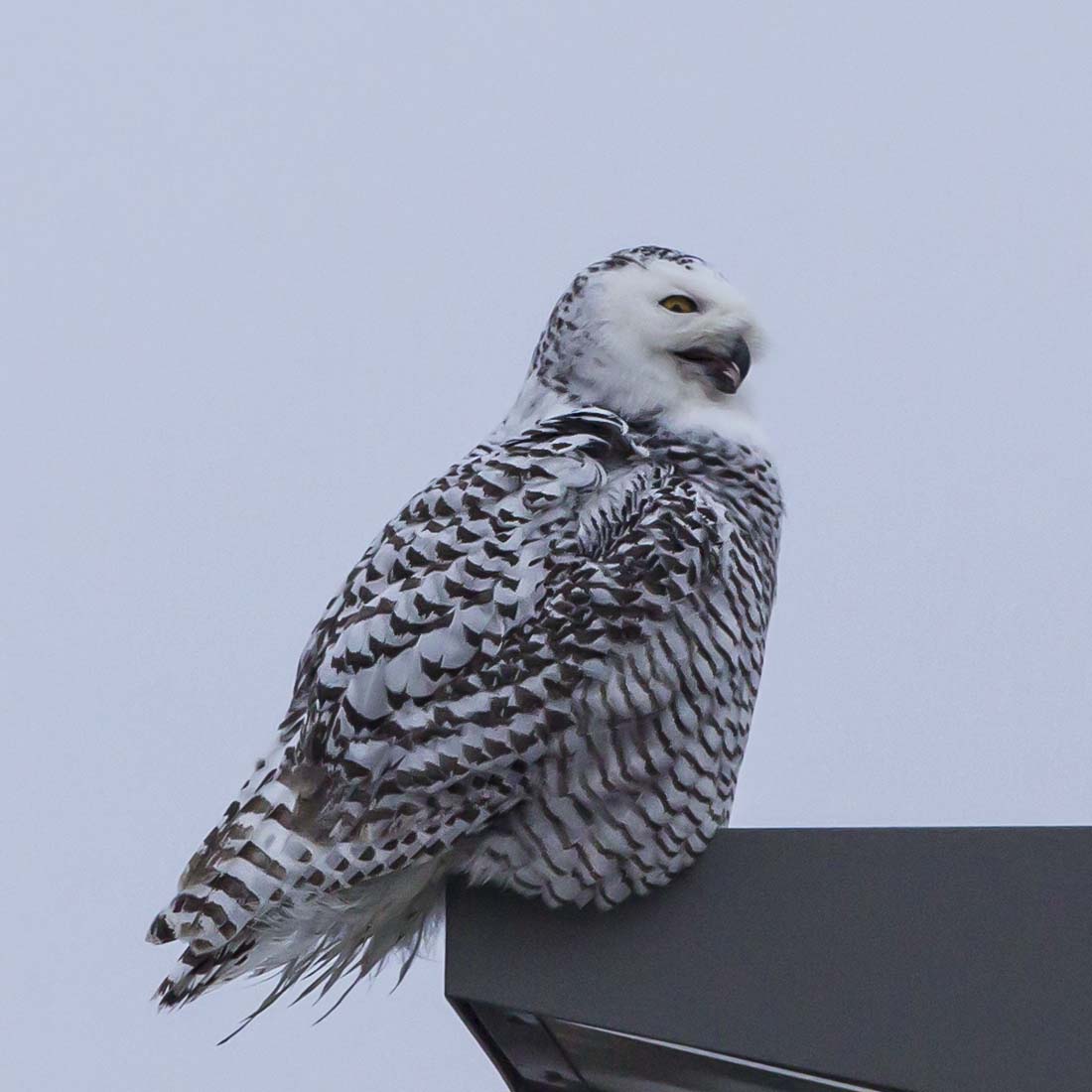
SNOWY OWL
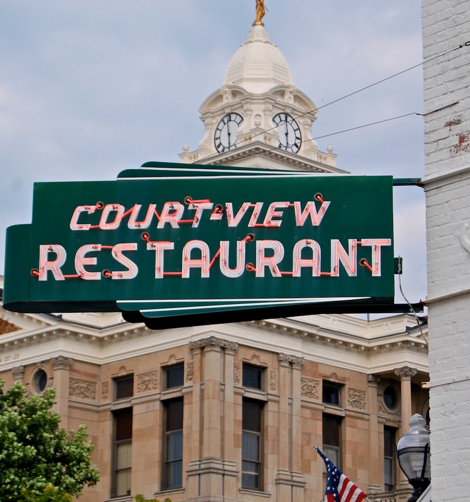
court-view restaurant
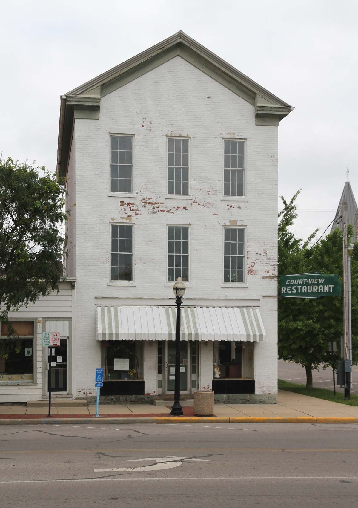
Burnett Building — Washington Court House, Ohio
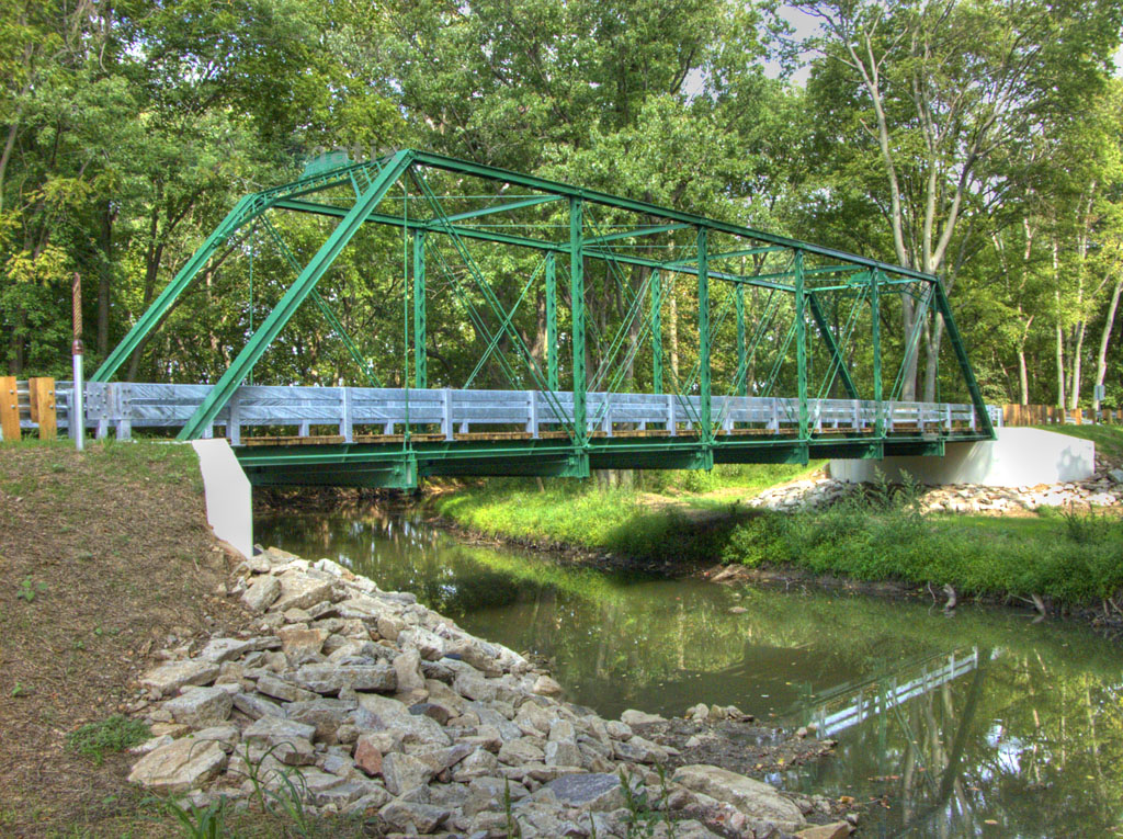
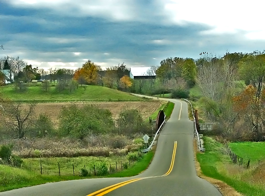
1883 Reconstructed Iron Bridge

Fayette County, Ohio Court House
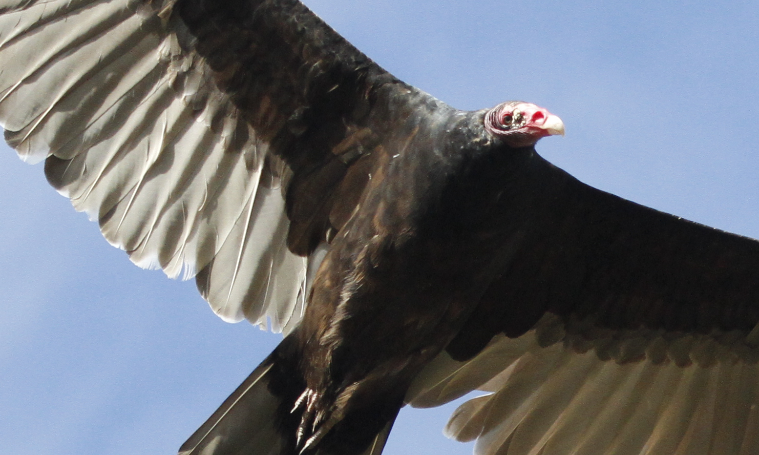
Turkey Vulture
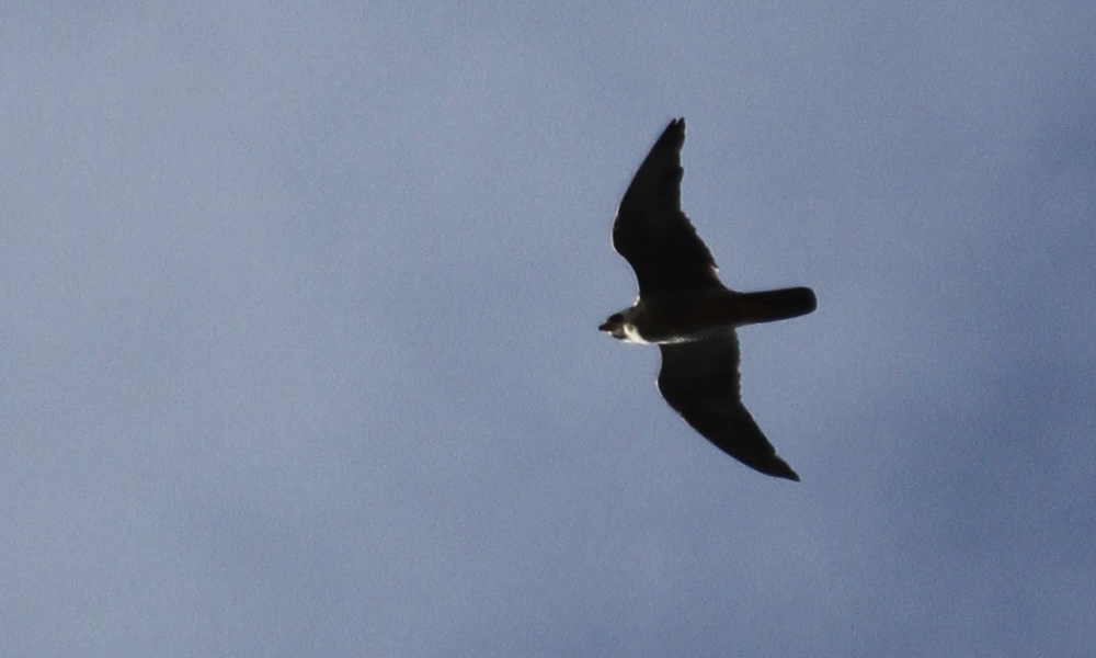
Peregrine Falcon (documentation shot)

Sedge Wren
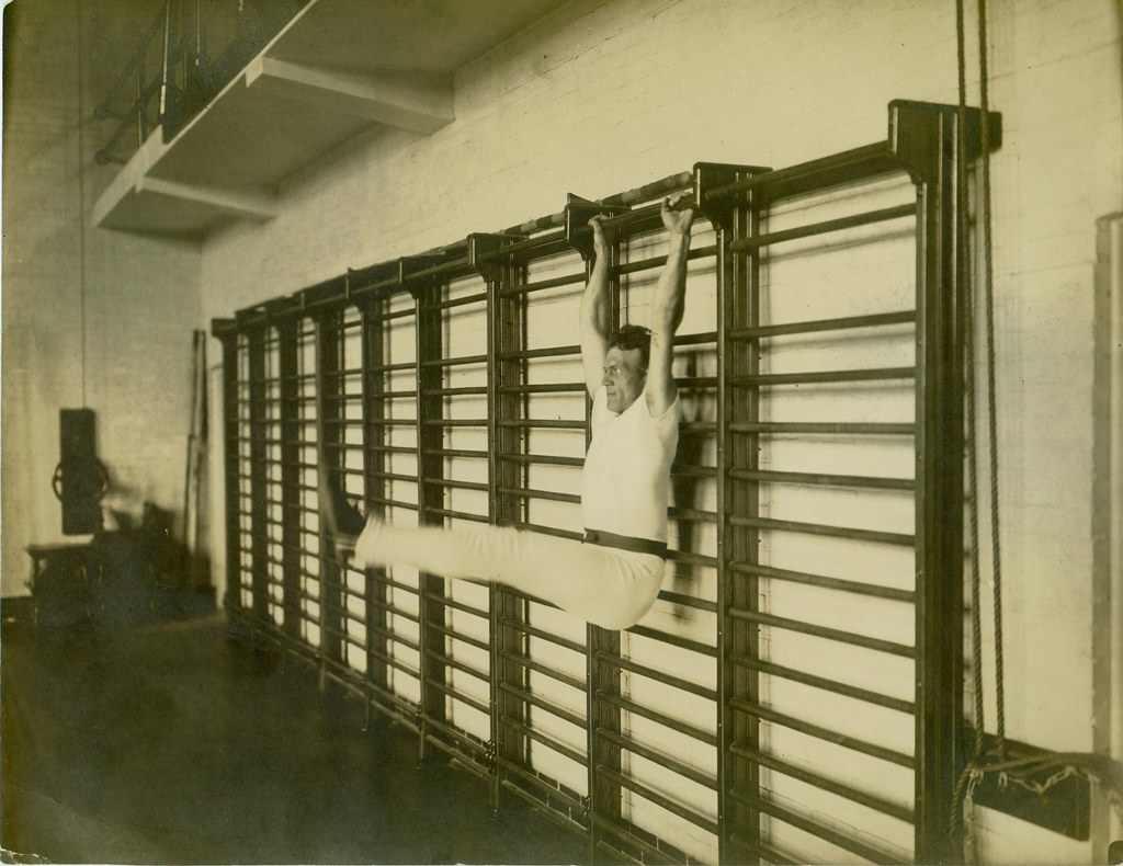
Old school exercise

Nelson's Sparrow

Henslow's Sparrow

Brown Thrasher
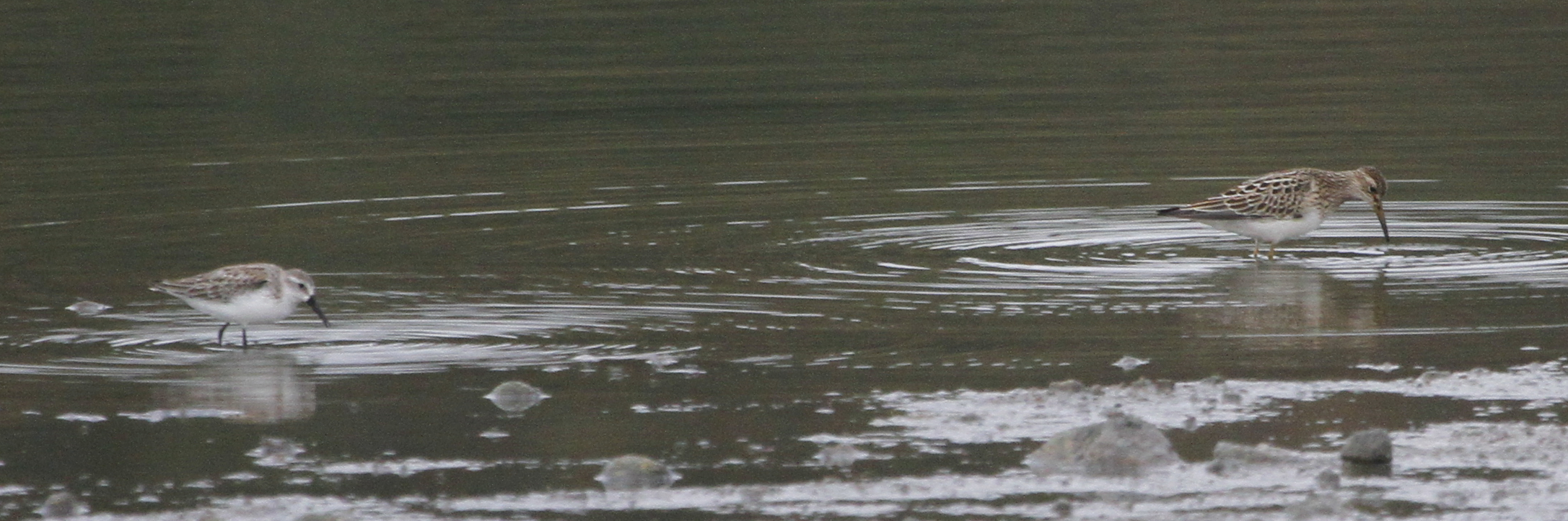
Western and Pectoral Sandpipers

Henslow's Sparrow

Henslow's Sparrow
North Fork Paint Creek Valley
Rear, Travelers' Rest — Greenfield, OH

Soldiers Row 3
McClain High School 1
Rural Sunset

I23 - Sunset
I23 - Morning
Little Bird, Big Sky

Little Bird, Big Sky
Little Bird, Big Sky
Corn about knee-high
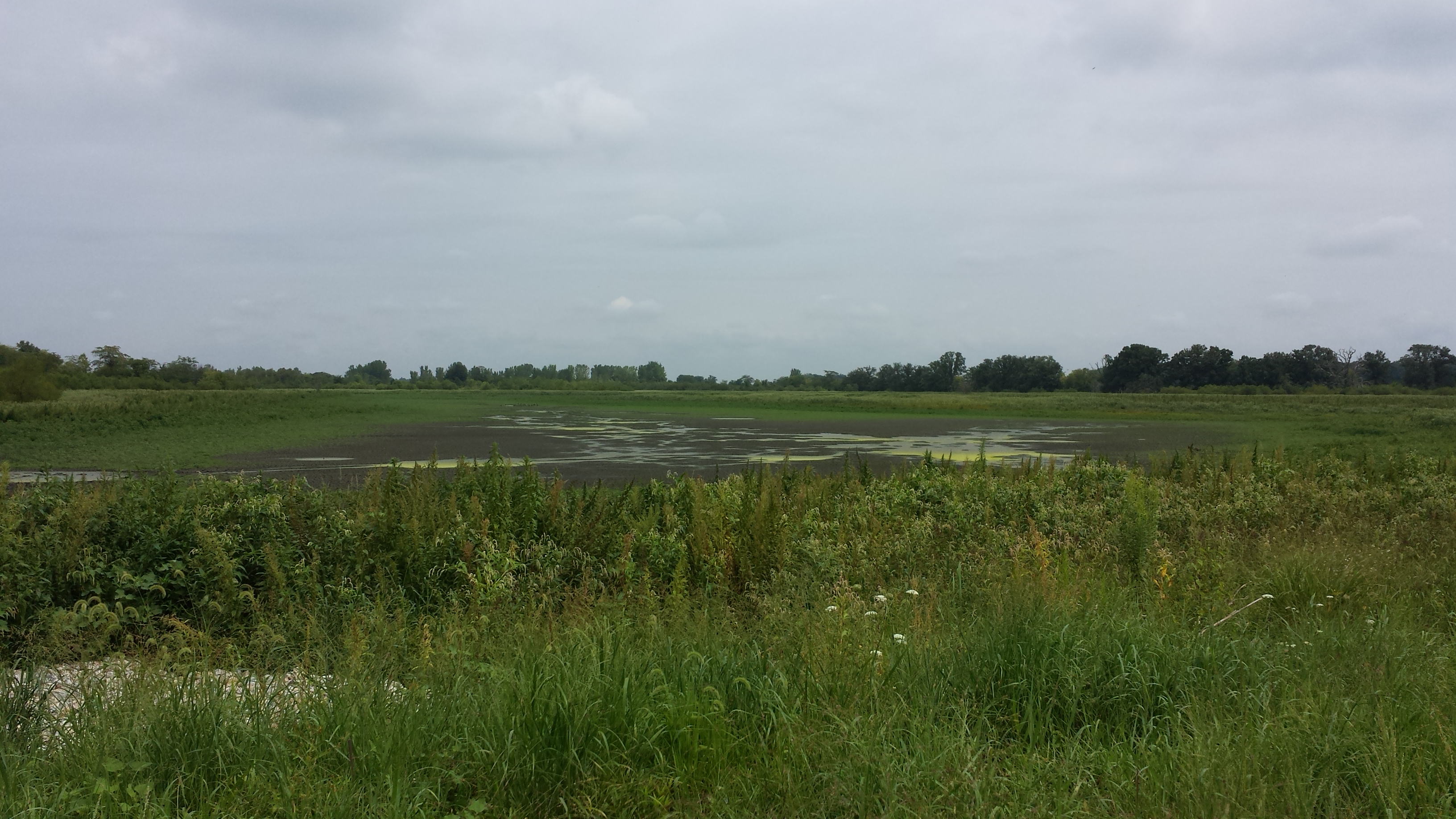
"Middle Wetlands" at Deer Creek WA, Ohio
Topographic Map of Cisco Rd, Washington Court House, OH, USA
Find elevation by address:

Places near Cisco Rd, Washington Court House, OH, USA:
Co Hwy 37, Washington Court House, OH, USA
US-22, New Holland, OH, USA
Marion Township
1670 Sever Rd
500 S Elm St
New Holland
Washington Court House
Bloomingburg New Holland Rd, New Holland, OH, USA
15 Wagner Ct
Concord Township
Union Township
Madison Township
Fayette County
3800 State Rte 41
Harrison Rd, Mt Sterling, OH, USA
2509 Frankfort Clarksburg Pike
Frankfort
Old U.S. 35, Washington Court House, OH, USA
Cook Yankeetown Rd NE, Mt Sterling, OH, USA
18396 Clarks Run Rd
Recent Searches:
- Elevation of Lampiasi St, Sarasota, FL, USA
- Elevation of Elwyn Dr, Roanoke Rapids, NC, USA
- Elevation of Congressional Dr, Stevensville, MD, USA
- Elevation of Bellview Rd, McLean, VA, USA
- Elevation of Stage Island Rd, Chatham, MA, USA
- Elevation of Shibuya Scramble Crossing, 21 Udagawacho, Shibuya City, Tokyo -, Japan
- Elevation of Jadagoniai, Kaunas District Municipality, Lithuania
- Elevation of Pagonija rock, Kranto 7-oji g. 8"N, Kaunas, Lithuania
- Elevation of Co Rd 87, Jamestown, CO, USA
- Elevation of Tenjo, Cundinamarca, Colombia