Elevation of Cook Yankeetown Rd NE, Mt Sterling, OH, USA
Location: United States > Ohio > Fayette County > Madison Township >
Longitude: -83.307403
Latitude: 39.6830135
Elevation: 278m / 912feet
Barometric Pressure: 98KPa
Elevation Map:
Satellite Map:
Related Photos:

Brown Thrasher

LONG-TAILED DUCK - MALE

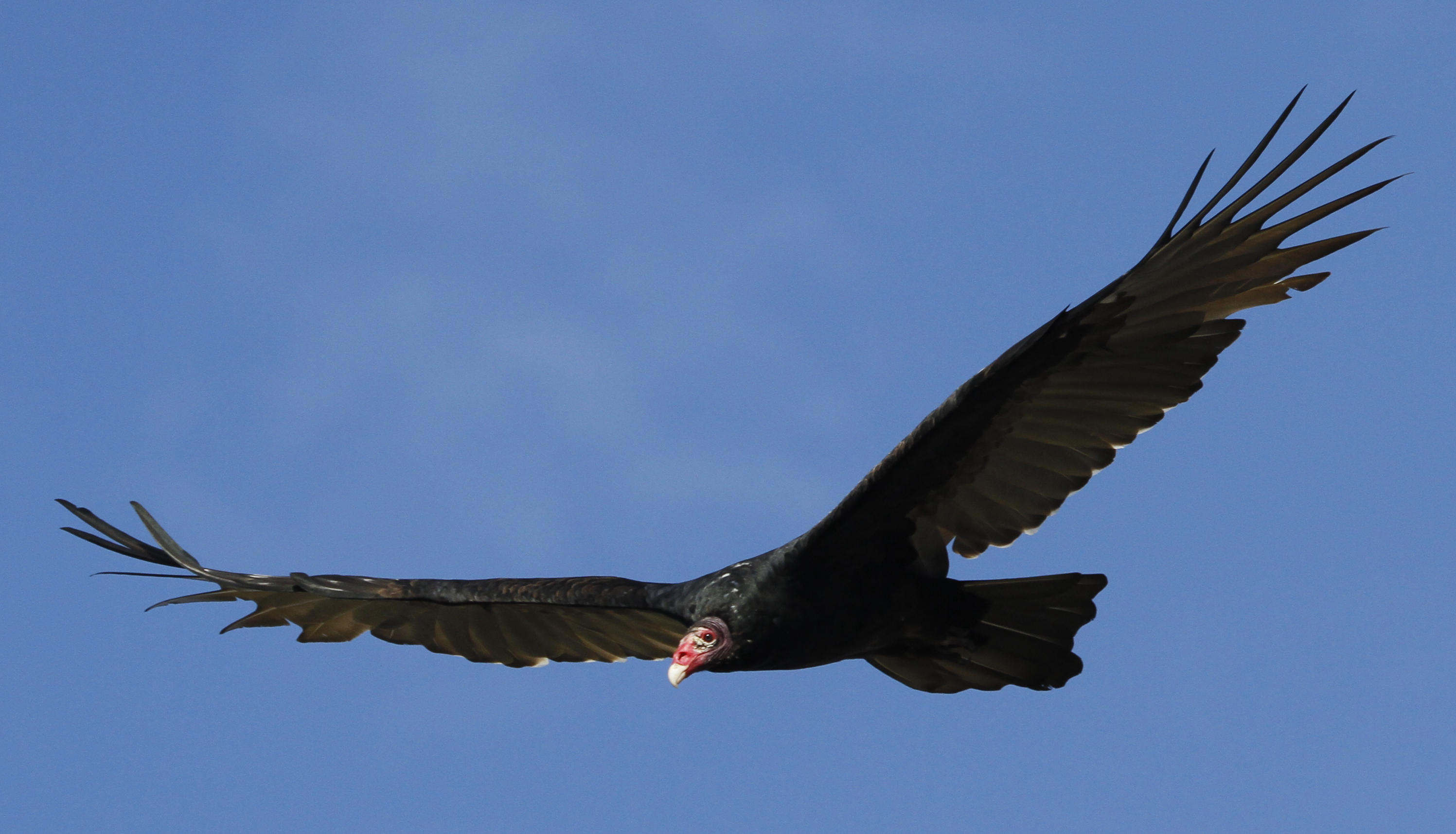
Turkey Vulture
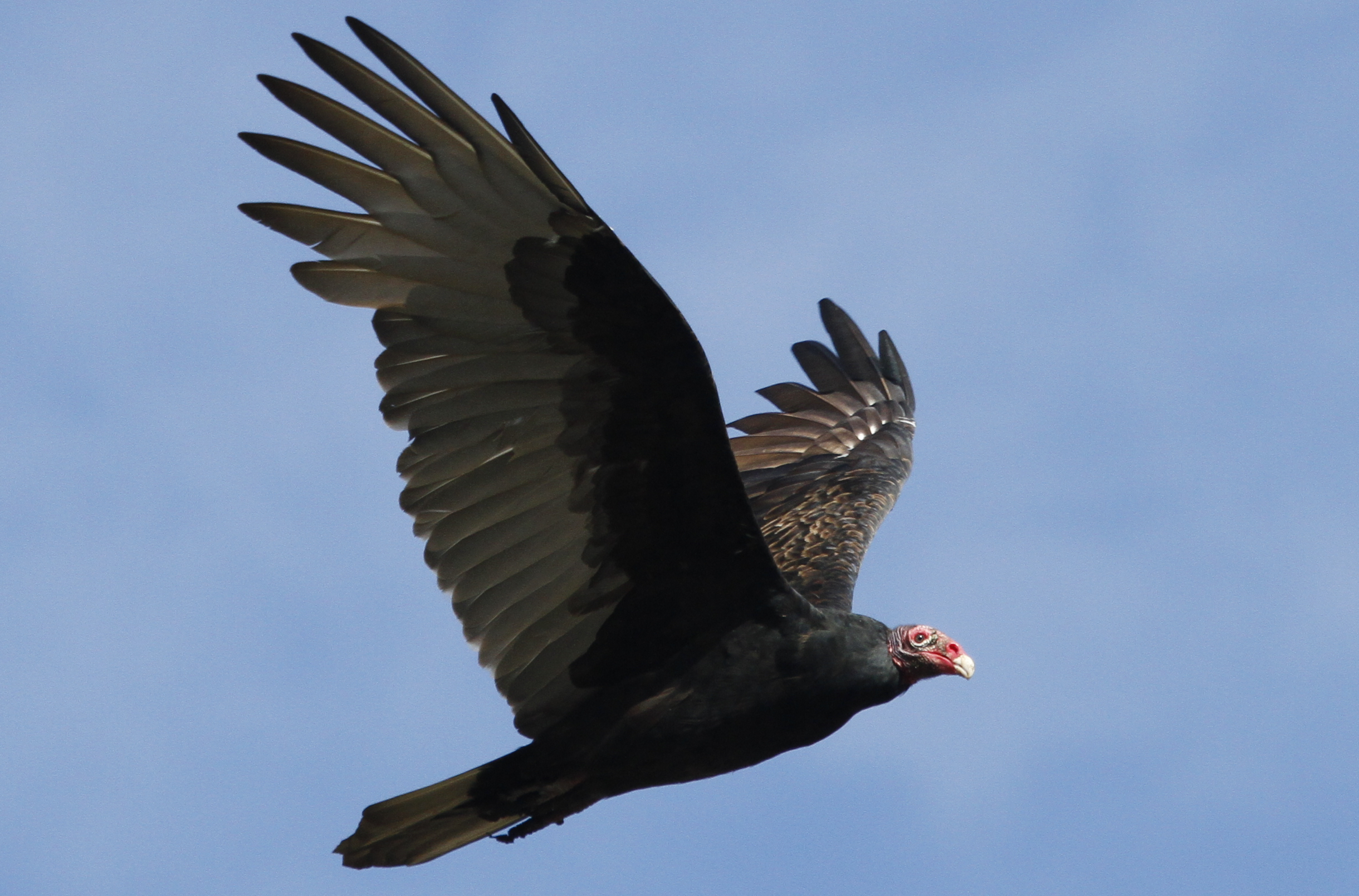
Turkey Vulture

Peregrine Falcon (documentation shot)

Sedge Wren

Scioto-Darby Road Bridge, creek view, Pickaway County, Ohio

Black-legged Kittiwake (Rissa tridactyla)

Henslow's Sparrow

Tennessee Warbler

Nelson's Sparrow

Western and Pectoral Sandpipers

Henslow's Sparrow

Henslow's Sparrow

Savannah Sparrow
Turkey Vulture

Henslow's Sparrow

LONG-TAILED DUCK

Scioto-Darby Road Bridge, cross creek view, Pickaway County, Ohio

Nelson's Sparrow

Common Gallinule

Year 2 2013-07-26 (b)
Port-O-John 2OH8

Year 2 2013-07-26 (h)

Year 2 2013-07-26 (g)

Truck_112012_LR-457.jpg

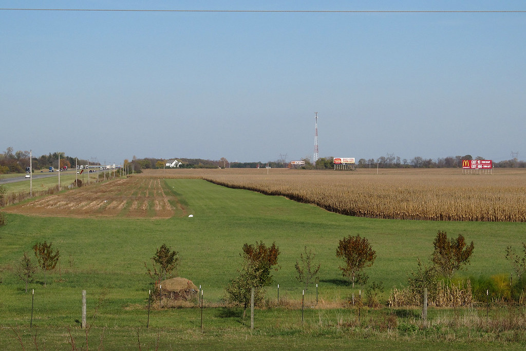
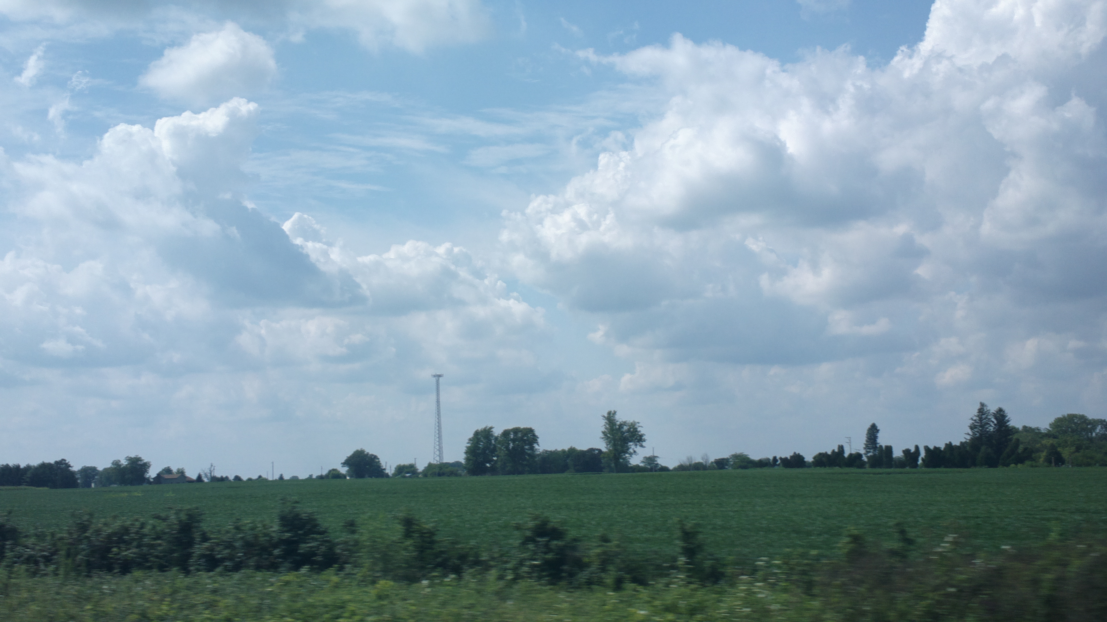
Ohio Farmland

Rich VanHorn Nature Trail

Year 2 2013-07-26 (g)

Truck_112012_LR-463.jpg

Truck_112012_LR-461.jpg
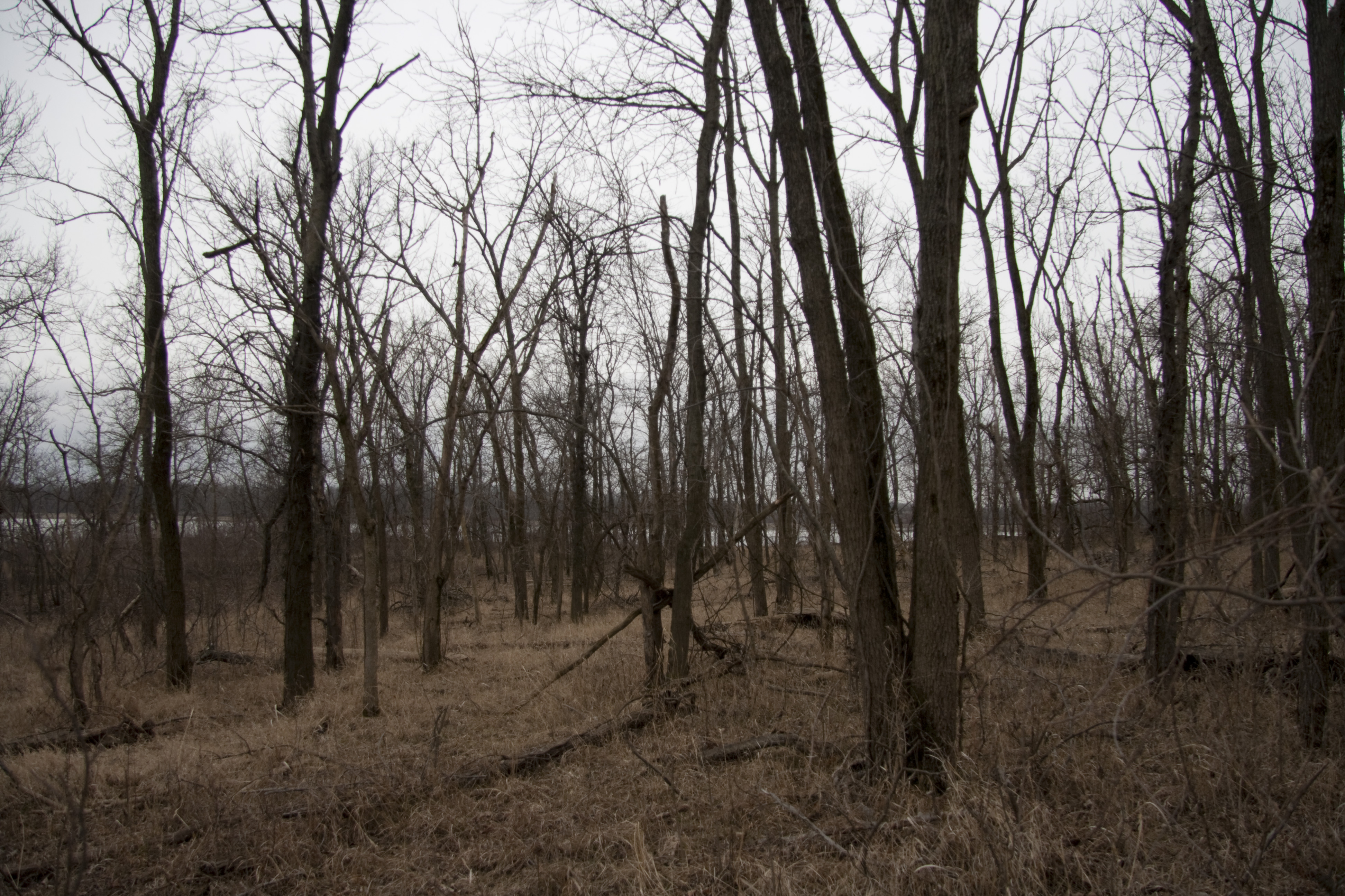
Into The Woods
2013-08-10 roadtrip day 1

Rich VanHorn Nature Trail

Walking Around The Lake
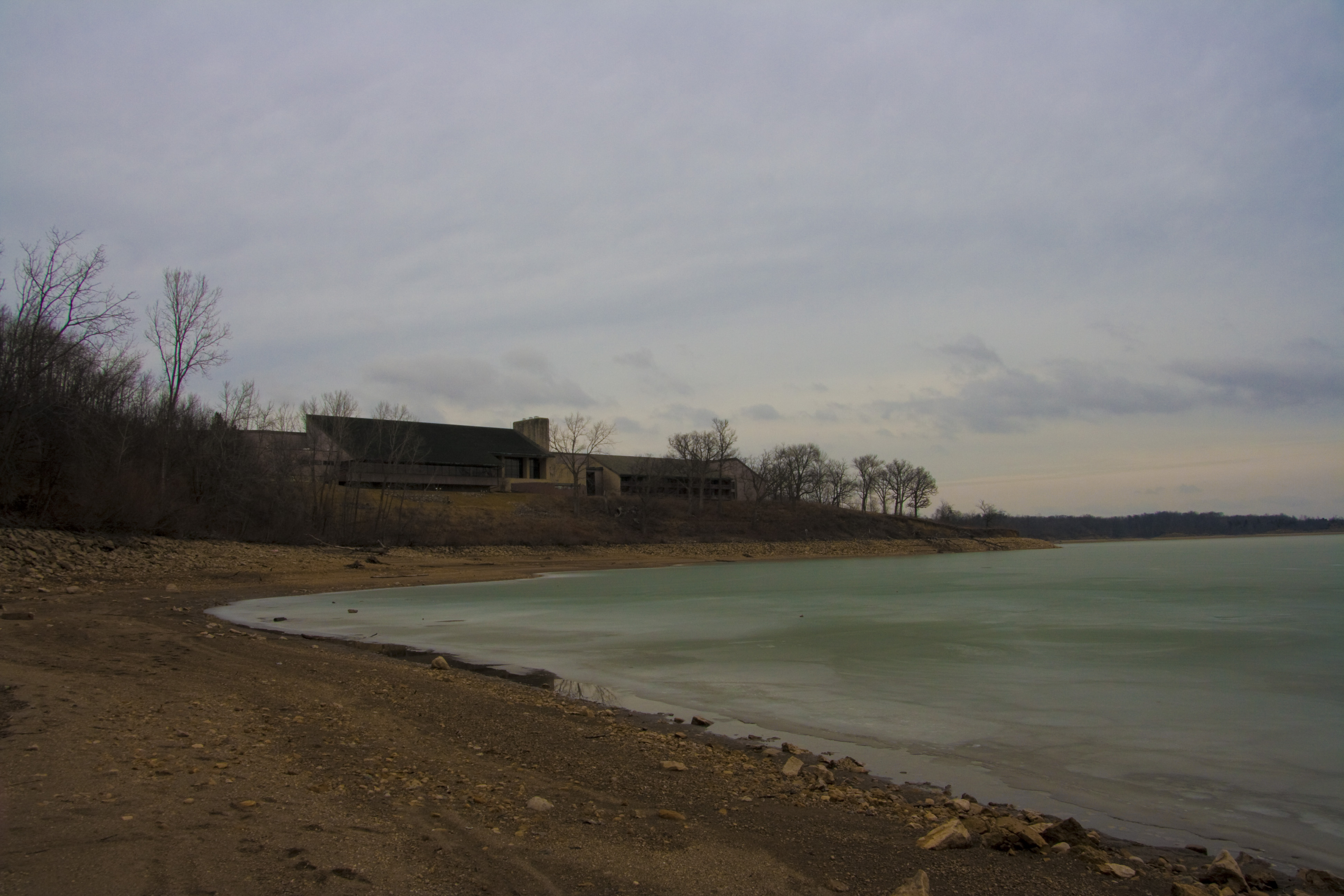
Walking Around The Lake
Rainy Picnic_009

Ridge Trail

Rainy Picnic_013

Rainy Picnic_010
Topographic Map of Cook Yankeetown Rd NE, Mt Sterling, OH, USA
Find elevation by address:

Places near Cook Yankeetown Rd NE, Mt Sterling, OH, USA:
Madison Township
Harrison Rd, Mt Sterling, OH, USA
Mt Sterling, OH, USA
Mount Sterling
OH-56, Mt Sterling, OH, USA
Yankeetown-Chenoweth Rd, Mt Sterling, OH, USA
18396 Clarks Run Rd
Bloomingburg New Holland Rd, New Holland, OH, USA
Pleasant Township
Range Township
Marion Township
Hume Lever Rd, London, OH, USA
US-22, New Holland, OH, USA
New Holland
Darby Township
10385 Creamer Rd
Big Plain Circleville Rd, London, OH, USA
Fairfield Township
Midway
60 Federal St, Midway, OH, USA
Recent Searches:
- Elevation of Côte-des-Neiges, Montreal, QC H4A 3J6, Canada
- Elevation of Bobcat Dr, Helena, MT, USA
- Elevation of Zu den Ihlowbergen, Althüttendorf, Germany
- Elevation of Badaber, Peshawar, Khyber Pakhtunkhwa, Pakistan
- Elevation of SE Heron Loop, Lincoln City, OR, USA
- Elevation of Slanický ostrov, 01 Námestovo, Slovakia
- Elevation of Spaceport America, Co Rd A, Truth or Consequences, NM, USA
- Elevation of Warwick, RI, USA
- Elevation of Fern Rd, Whitmore, CA, USA
- Elevation of 62 Abbey St, Marshfield, MA, USA