Elevation of Pleasant Township, OH, USA
Location: United States > Ohio > Madison County >
Longitude: -83.272008
Latitude: 39.7659073
Elevation: 276m / 906feet
Barometric Pressure: 98KPa
Elevation Map:
Satellite Map:
Related Photos:

Chrisman, Ohio- Van Wagener Schoolhouse
Scioto-Darby Road Bridge, creek view, Pickaway County, Ohio

Black-legged Kittiwake (Rissa tridactyla)

Tennessee Warbler

Orient Bridge, left side view, Pickaway County, OH

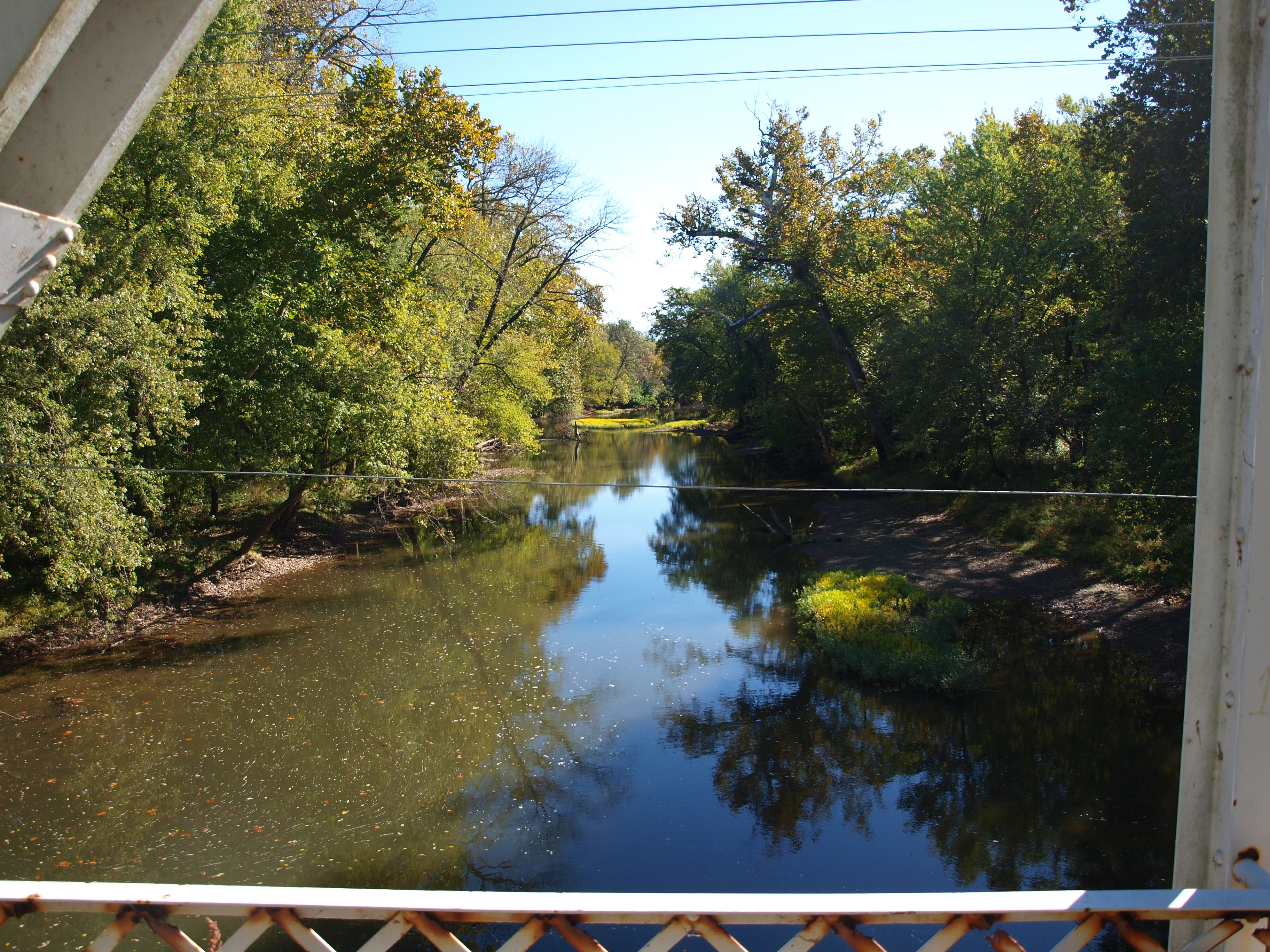
Scioto-Darby Road Bridge, cross creek view, Pickaway County, Ohio

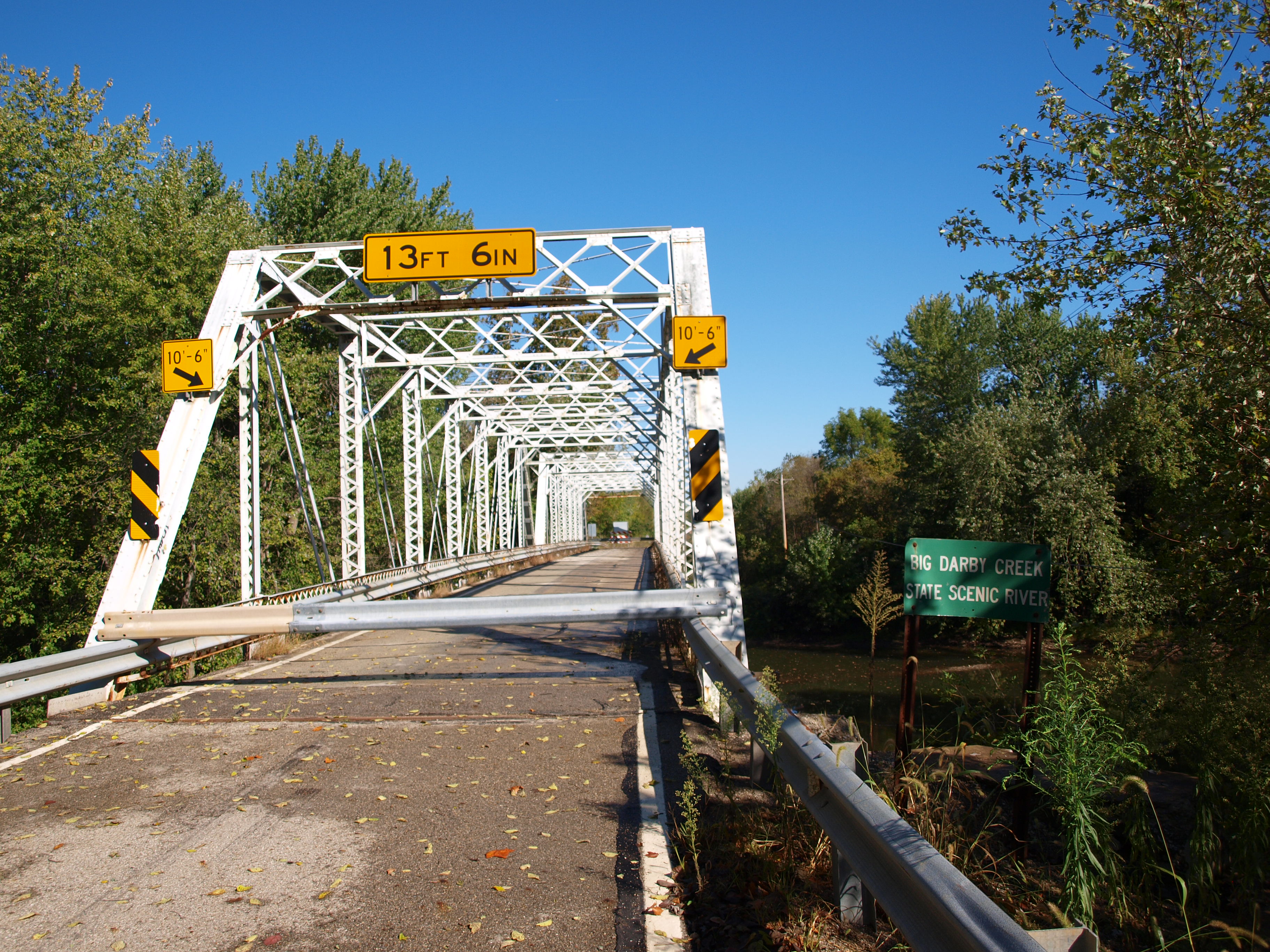
Scioto-Darby Road Bridge, truss view, Pickaway County, Ohio

Merlin (Falco columbarius)
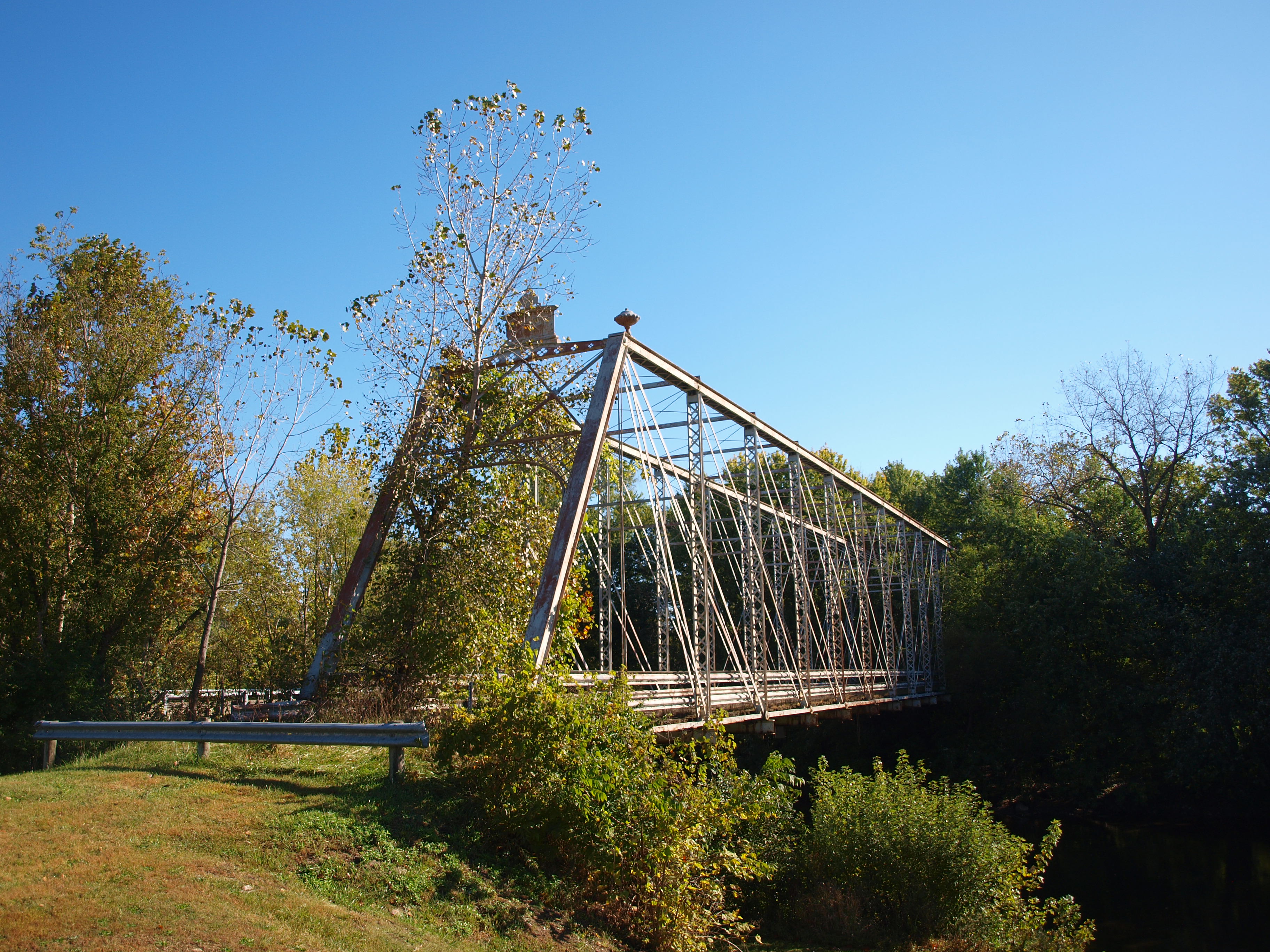
Orient Bridge, right side view, Pickaway County, OH
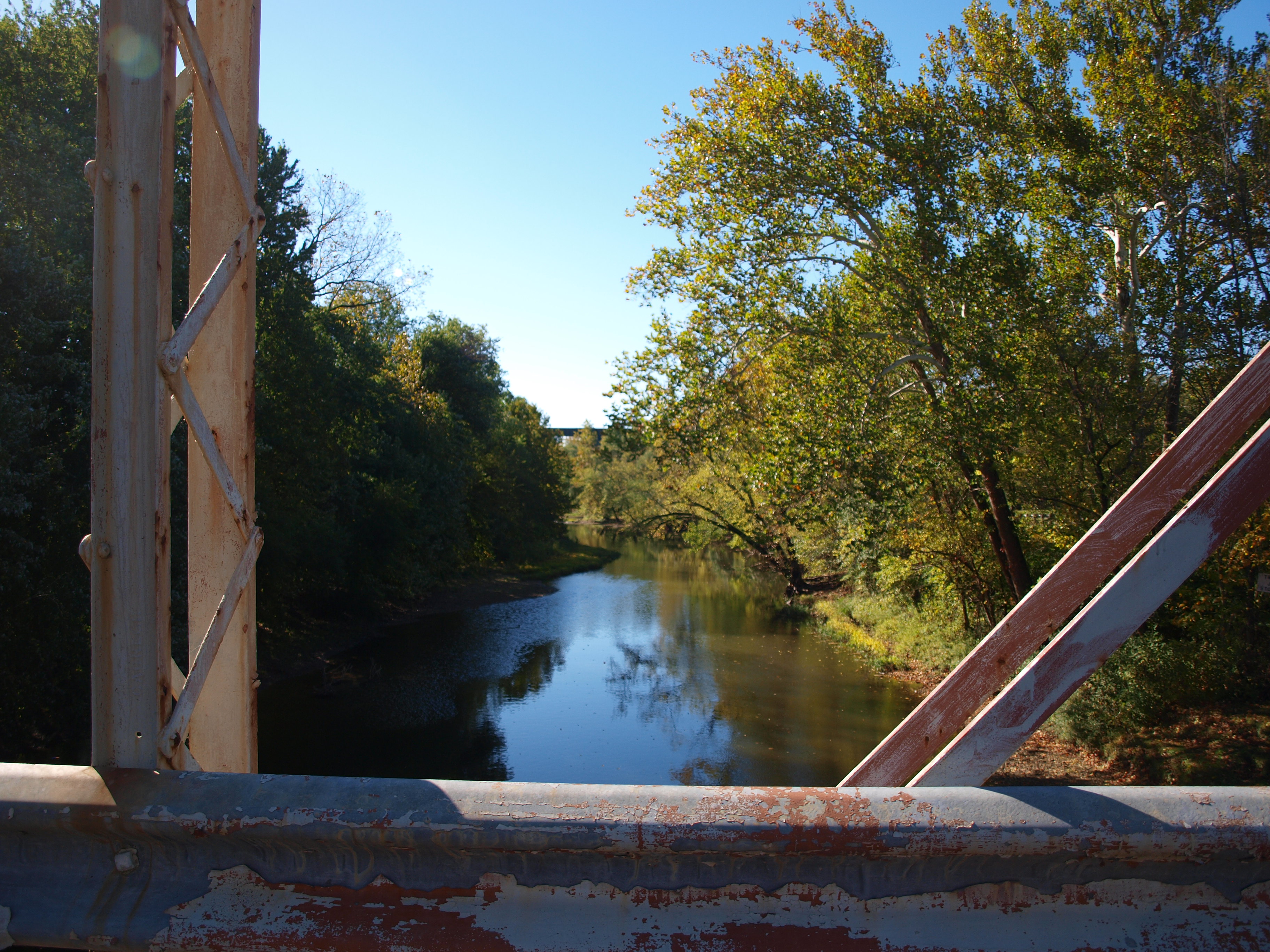
Orient Bridge, creek view, Pickaway County, OH
Scioto-Darby Road Bridge, cross creek view, Pickaway County, Ohio (2)

Magnolia Warbler
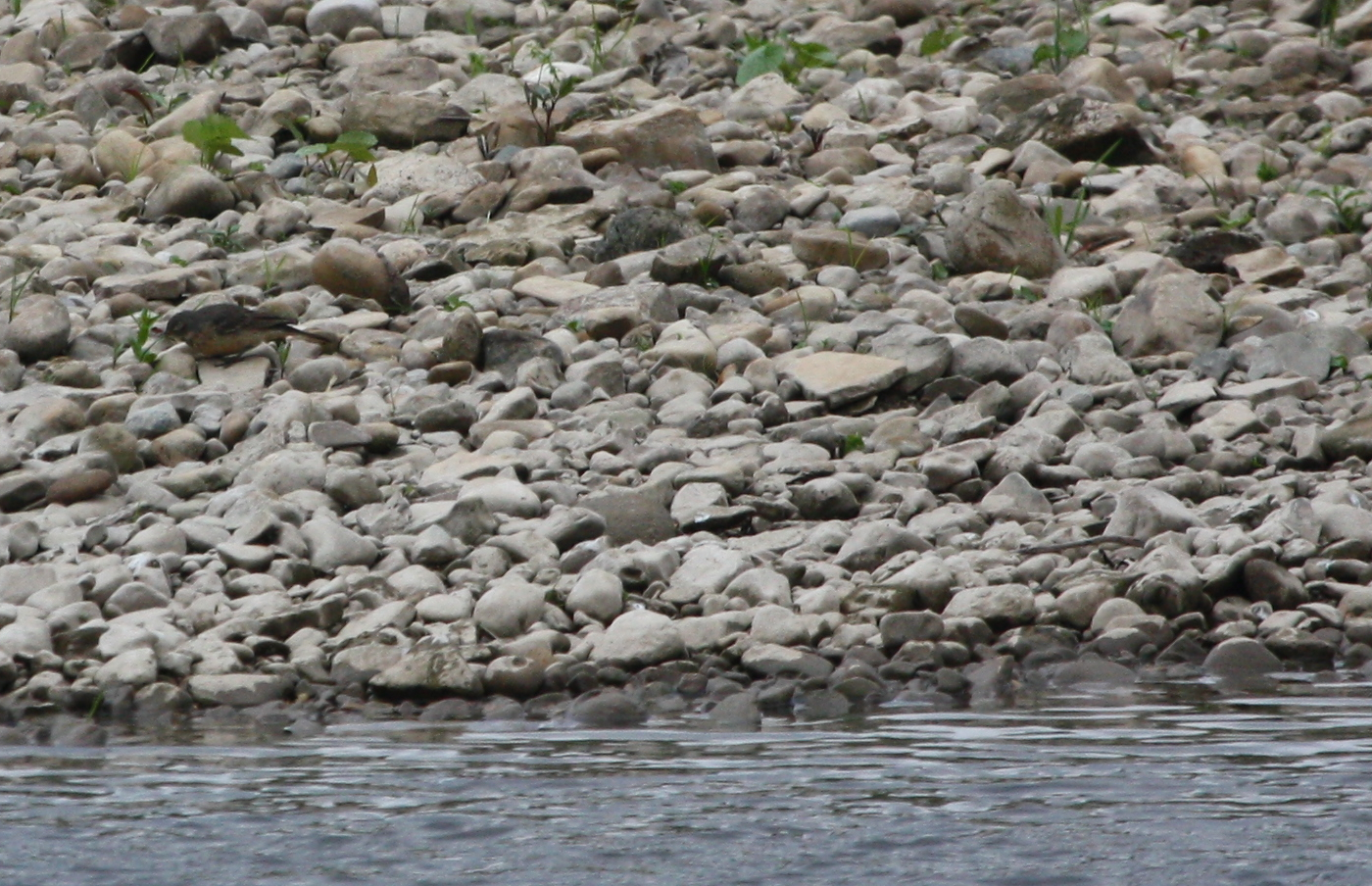
American Pipit (Anthus rubescens)

Tennessee Warbler
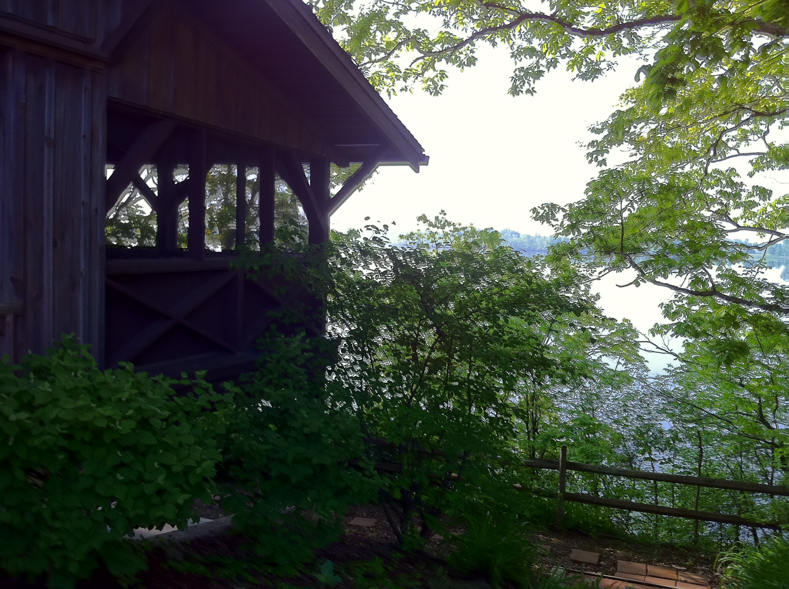
View from the cabin

Canada Warbler

Merlin (Falco columbarius)

Bank Swallow (Riparia riparia)

Merlin (Falco columbarius)
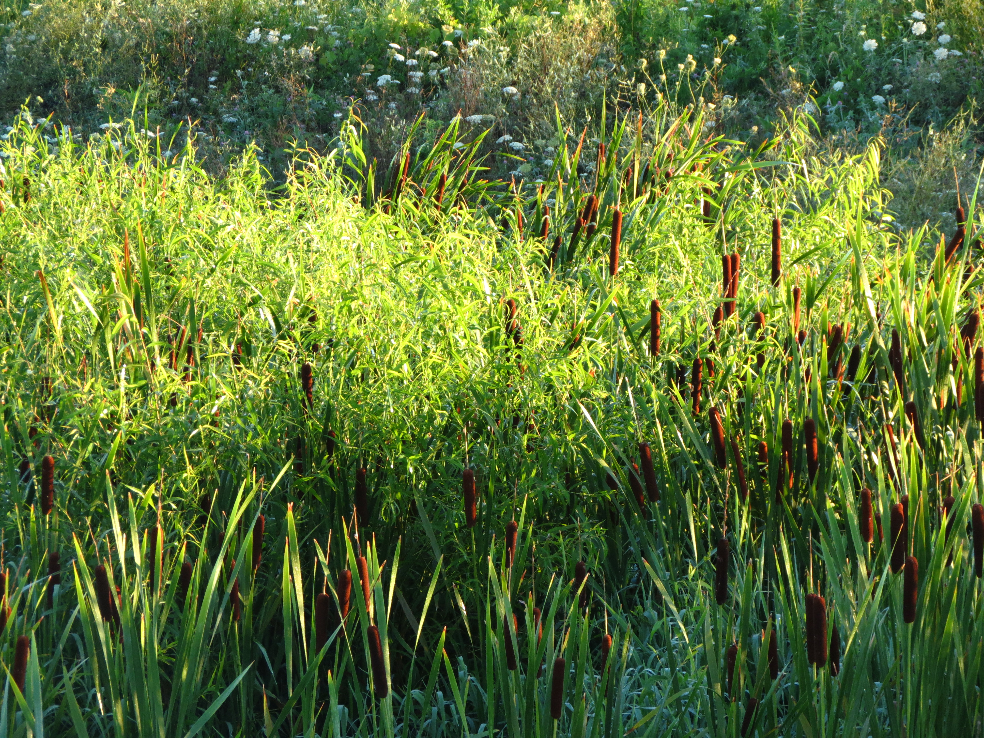
08 16 08_Deer Creek Camping_1271

Red-headed Woodpecker (youngster)

Year 2 2013-07-26 (b)
Port-O-John 2OH8
Year 2 2013-07-26 (h)

Truck_112012_LR-466.jpg
Year 2 2013-07-26 (g)

Truck_112012_LR-457.jpg
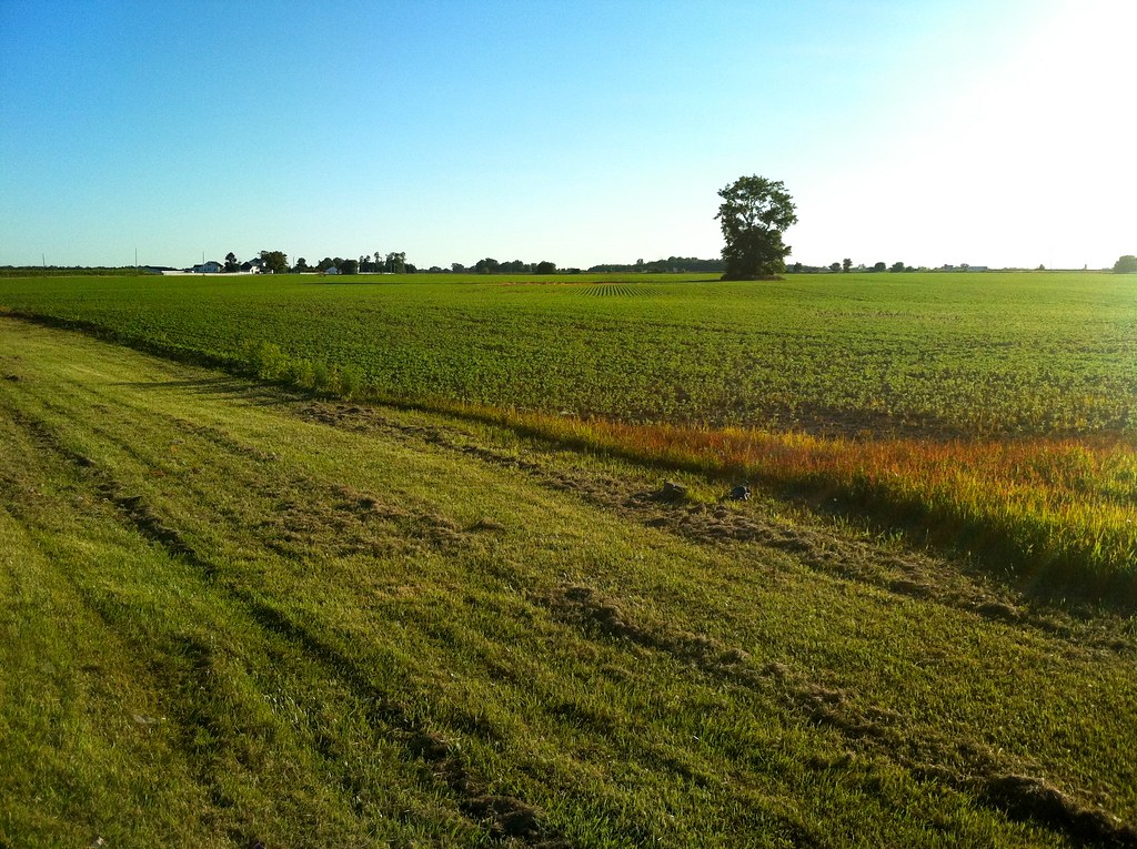
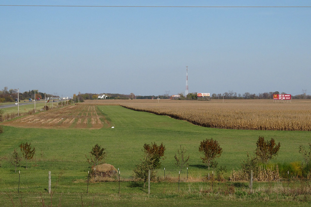
Ohio Farmland

2015-11-21_07-20-35

On our first Metro Park Geotrail adventure.

Searching for bison.

God's Light

012 - Copy

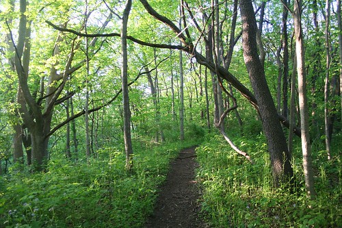
Through the rain soaked forest.
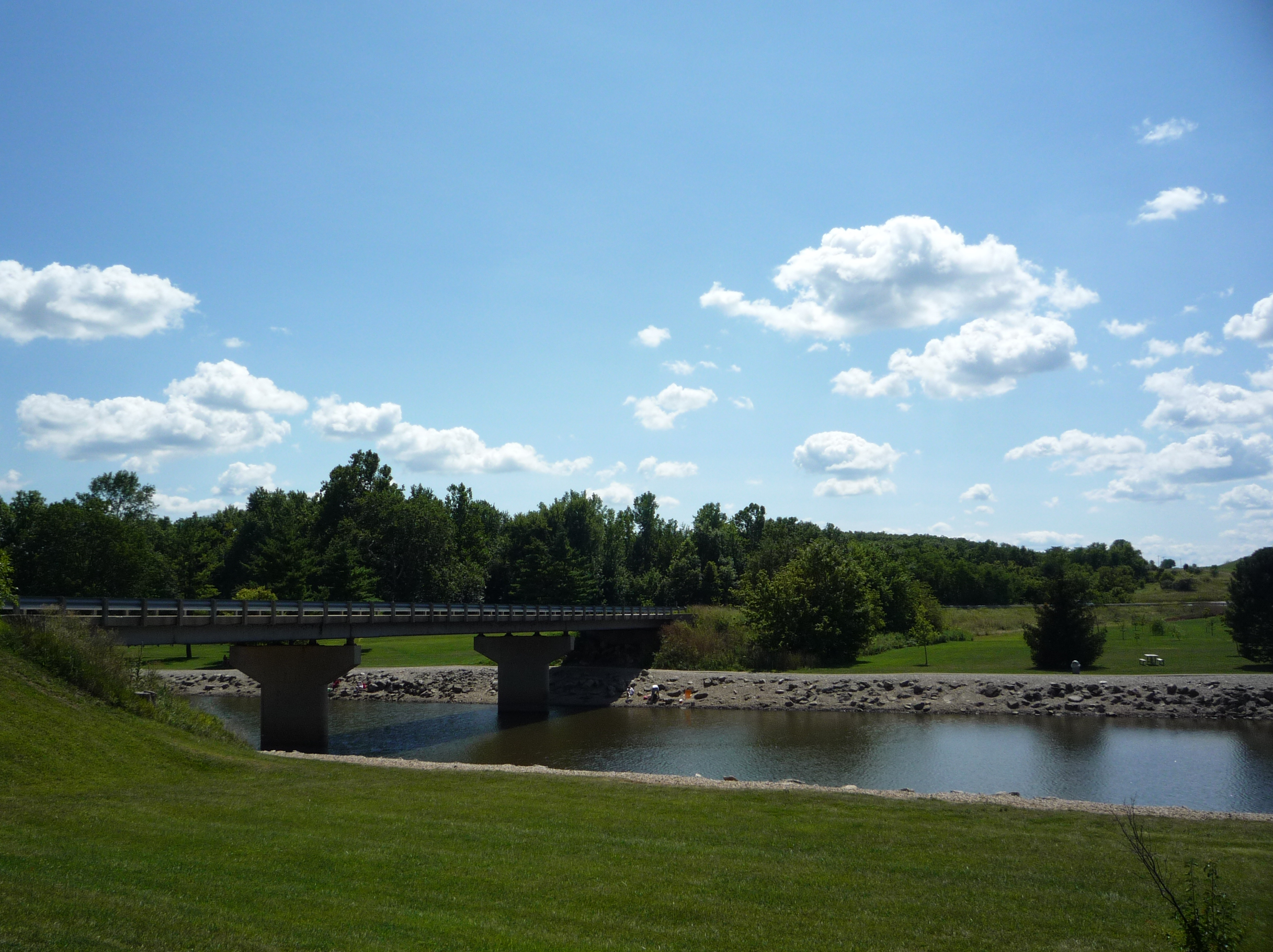
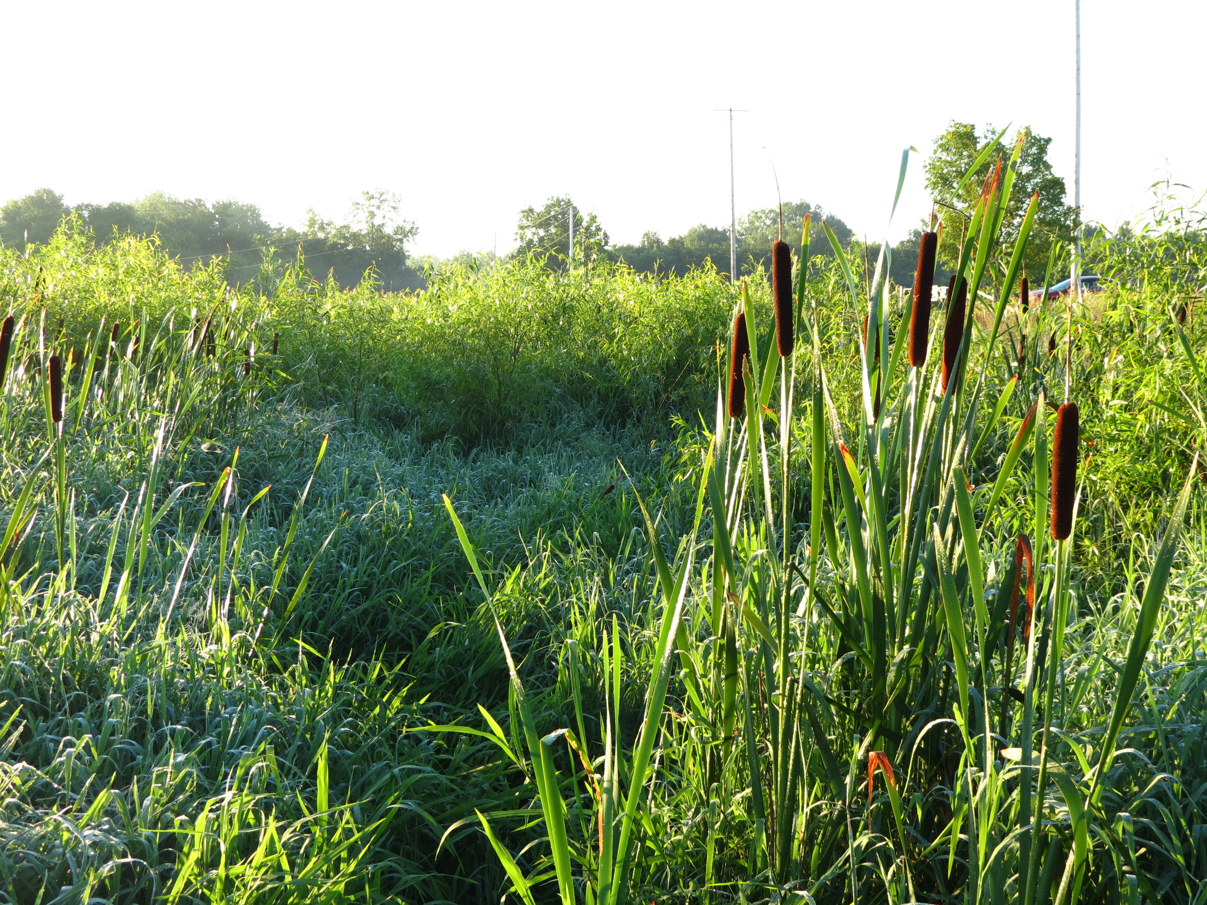
Darby Creek Park
Topographic Map of Pleasant Township, OH, USA
Find elevation by address:

Places in Pleasant Township, OH, USA:
Places near Pleasant Township, OH, USA:
OH-56, Mt Sterling, OH, USA
Hume Lever Rd, London, OH, USA
Mt Sterling, OH, USA
10385 Creamer Rd
Big Plain Circleville Rd, London, OH, USA
Fairfield Township
Darby Township
4665 Lilly Chapel Opossum Run Road
970 Harrisburg Rd
1077 High St
Harrisburg
Pleasant Township
Orient
Main St, Grove City, OH, USA
Administrative Office Building - Solid Waste Authority Of Central Ohio (swaco)
Scioto-Darby Rd, Orient, OH, USA
Chestnut Estates Drive
9509 Welch Rd
Castle Farms
3434 Ventura Blvd
Recent Searches:
- Elevation of Corso Fratelli Cairoli, 35, Macerata MC, Italy
- Elevation of Tallevast Rd, Sarasota, FL, USA
- Elevation of 4th St E, Sonoma, CA, USA
- Elevation of Black Hollow Rd, Pennsdale, PA, USA
- Elevation of Oakland Ave, Williamsport, PA, USA
- Elevation of Pedrógão Grande, Portugal
- Elevation of Klee Dr, Martinsburg, WV, USA
- Elevation of Via Roma, Pieranica CR, Italy
- Elevation of Tavkvetili Mountain, Georgia
- Elevation of Hartfords Bluff Cir, Mt Pleasant, SC, USA