Elevation of Charlie Bo Rd, McIntosh, AL, USA
Location: United States > Alabama > Washington County > Mcintosh >
Longitude: -88.145653
Latitude: 31.2843251
Elevation: 42m / 138feet
Barometric Pressure: 101KPa
Elevation Map:
Satellite Map:
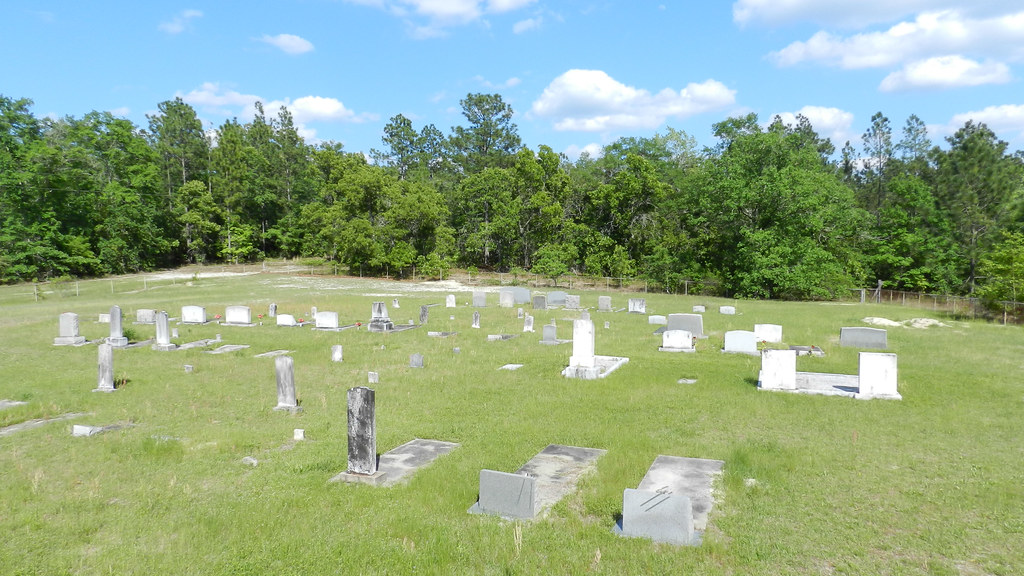
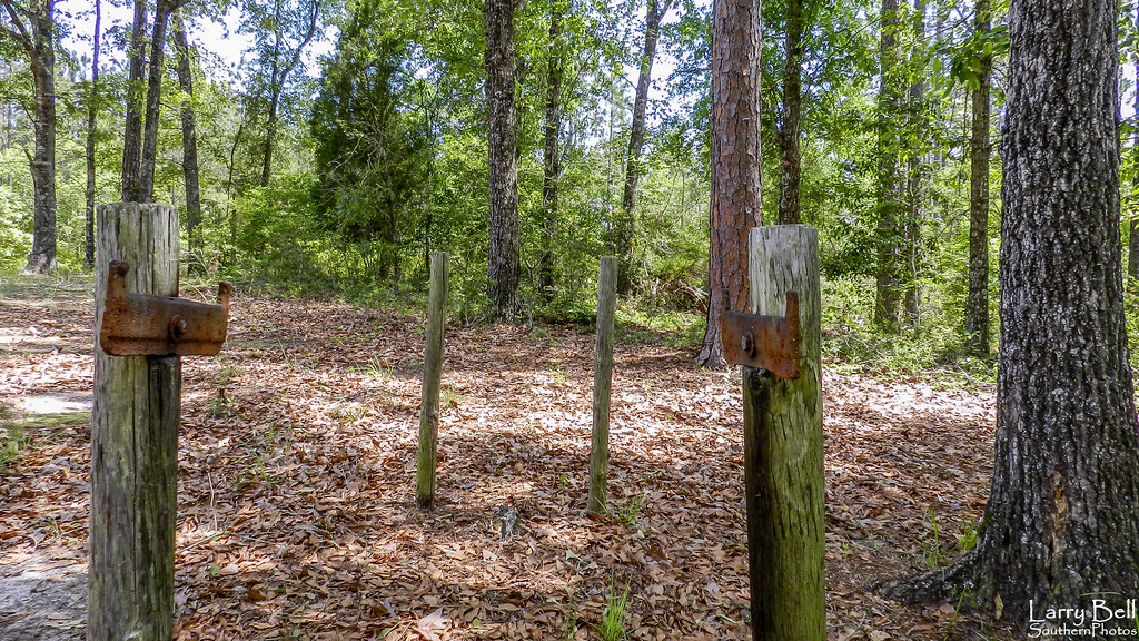
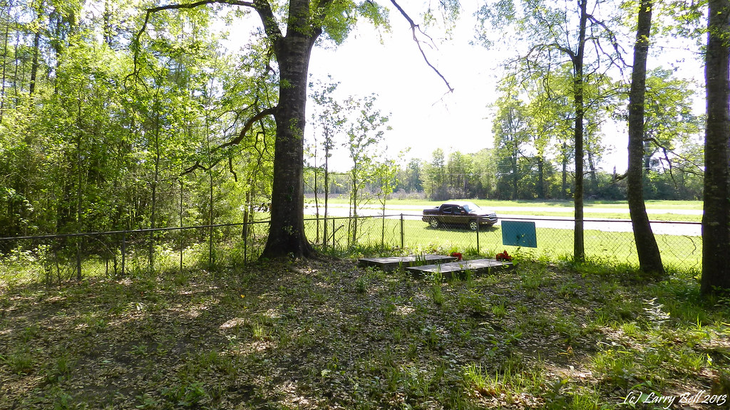
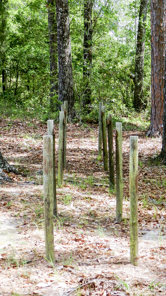
Related Photos:
DSCN2817.jpg
DSCN4294.jpg
DSCN1857.jpg
DSCN4290.jpg
DSCN3023.jpg
DSCN1878.jpg
DSC_5780.jpg
DSC_5779.jpg
DSCN4294.jpg
DSCN4290.jpg
DSCN3023.jpg
DSCN4698.jpg
_DSC0670.jpg
DSCN2946.jpg
DSCN4439.jpg

DSCN5583.jpg
DSCN5576.jpg
Topographic Map of Charlie Bo Rd, McIntosh, AL, USA
Find elevation by address:

Places near Charlie Bo Rd, McIntosh, AL, USA:
Co Rd 4, McIntosh, AL, USA
9951 Fairford Rd
Hawthorne Rd, Tibbie, AL, USA
Mcintosh
Washington County
7825 Al-17
Jefferson Davis Hwy, Wagarville, AL, USA
Tibbie
3960 Coy Smith Hwy
Sunflower Rd, Wagarville, AL, USA
Magnolia St, Deer Park, AL, USA
Deer Park
Wagarville
Co Rd 6, Wagarville, AL, USA
Vinegar Bend
Citronelle
39 Central Ave, Chatom, AL, USA
Chatom
Citronella Inn
196 Earlwood Rd
Recent Searches:
- Elevation of 72-31 Metropolitan Ave, Middle Village, NY, USA
- Elevation of 76 Metropolitan Ave, Brooklyn, NY, USA
- Elevation of Alisal Rd, Solvang, CA, USA
- Elevation of Vista Blvd, Sparks, NV, USA
- Elevation of 15th Ave SE, St. Petersburg, FL, USA
- Elevation of Beall Road, Beall Rd, Florida, USA
- Elevation of Leguwa, Nepal
- Elevation of County Rd, Enterprise, AL, USA
- Elevation of Kolchuginsky District, Vladimir Oblast, Russia
- Elevation of Shustino, Vladimir Oblast, Russia