Elevation of Center Ave, Goodland, KS, USA
Location: United States > Kansas > Goodland >
Longitude: -101.71298
Latitude: 39.3521285
Elevation: 1127m / 3697feet
Barometric Pressure: 88KPa
Elevation Map:
Satellite Map:
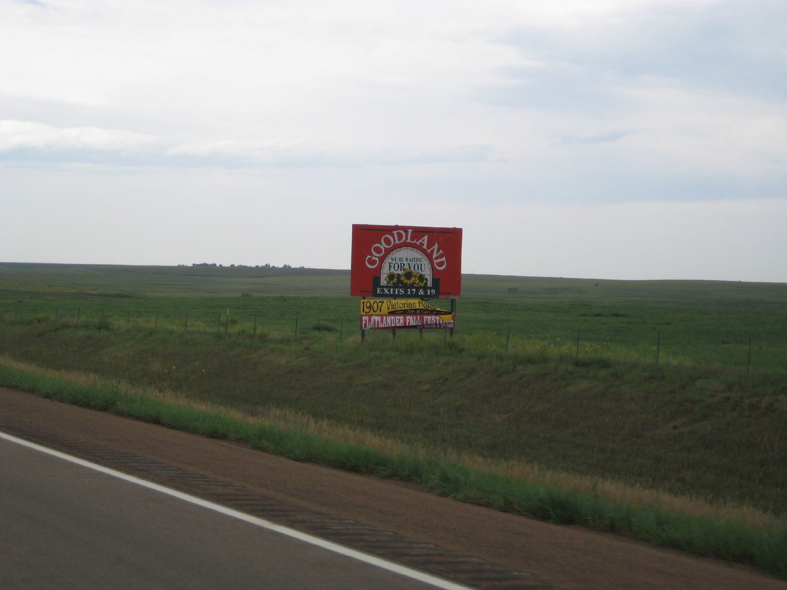
Related Photos:

Falling Away
the start of kansas
View from My Room
IMG_4305.jpg

The Red Chairs
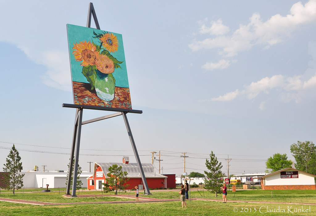
things are bigger in Kansas!

the plains

IMG_9681-HDR.jpg
IMG_0113.JPG
IMG_9665.jpg
Topographic Map of Center Ave, Goodland, KS, USA
Find elevation by address:

Places near Center Ave, Goodland, KS, USA:
Goodland
Brewster
Wallace County
West Hale
Sharon Springs
KS-27, Sharon Springs, KS, USA
Sharon Springs
Mount Sunflower
Cooper Avenue
Weskan
Martin Ave, Burlington, CO, USA
Burlington
Weskan
US-24, Burlington, CO, USA
Wichita County
Leoti
Stratton
Co Rd 30, Stratton, CO, USA
S 4th St, Leoti, KS, USA
Leoti
Recent Searches:
- Elevation of Congressional Dr, Stevensville, MD, USA
- Elevation of Bellview Rd, McLean, VA, USA
- Elevation of Stage Island Rd, Chatham, MA, USA
- Elevation of Shibuya Scramble Crossing, 21 Udagawacho, Shibuya City, Tokyo -, Japan
- Elevation of Jadagoniai, Kaunas District Municipality, Lithuania
- Elevation of Pagonija rock, Kranto 7-oji g. 8"N, Kaunas, Lithuania
- Elevation of Co Rd 87, Jamestown, CO, USA
- Elevation of Tenjo, Cundinamarca, Colombia
- Elevation of Côte-des-Neiges, Montreal, QC H4A 3J6, Canada
- Elevation of Bobcat Dr, Helena, MT, USA