Elevation of US-24, Burlington, CO, USA
Location: United States > Colorado > Kit Carson County > Burlington >
Longitude: -102.30229
Latitude: 39.3016408
Elevation: 1279m / 4196feet
Barometric Pressure: 87KPa
Elevation Map:
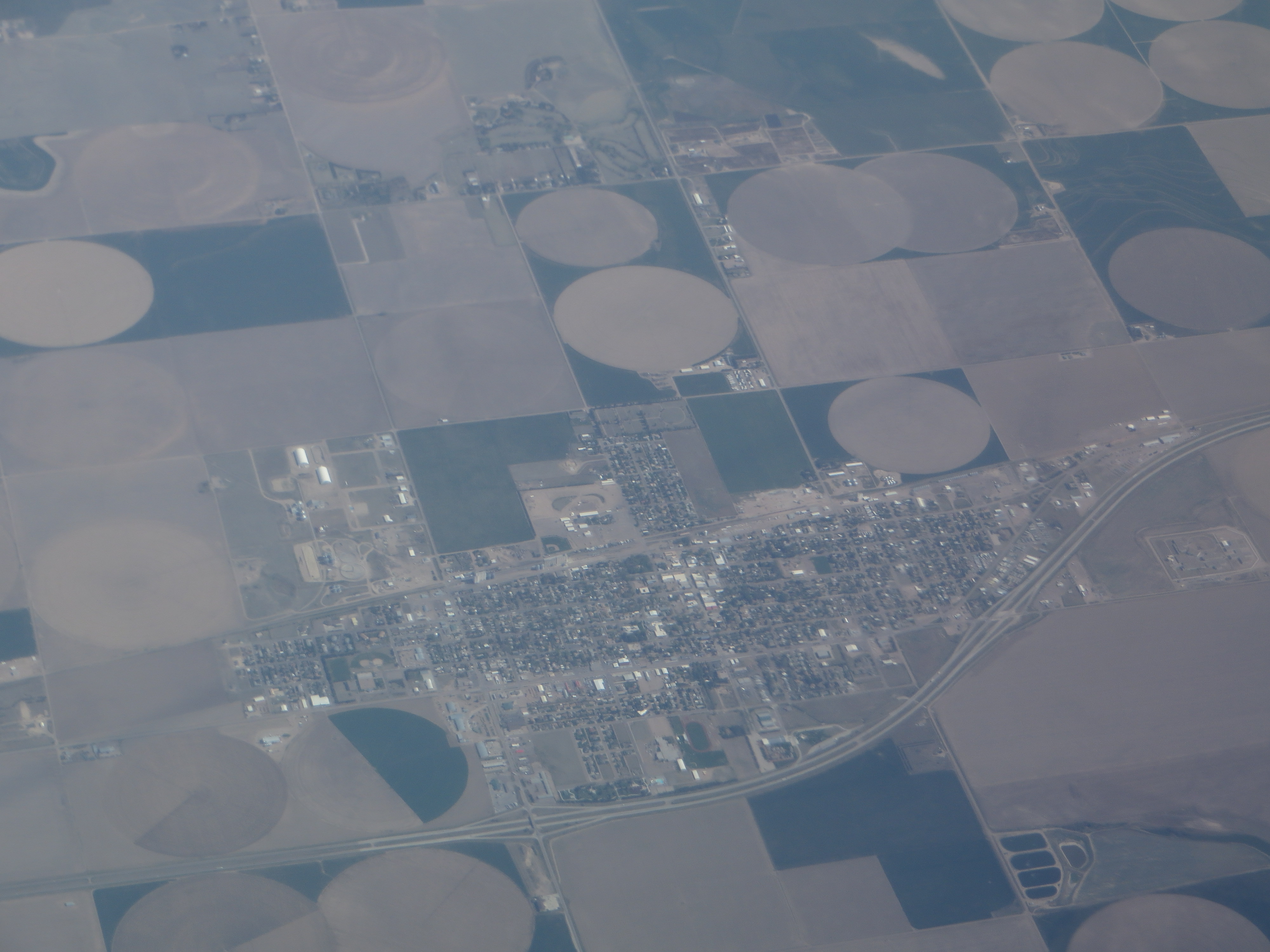
Satellite Map:
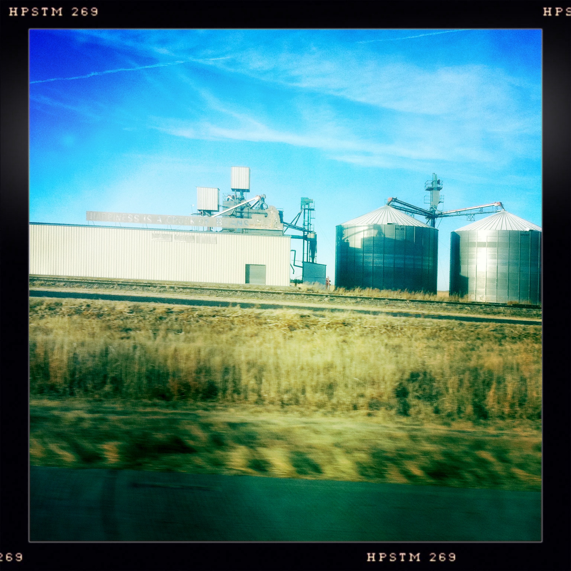
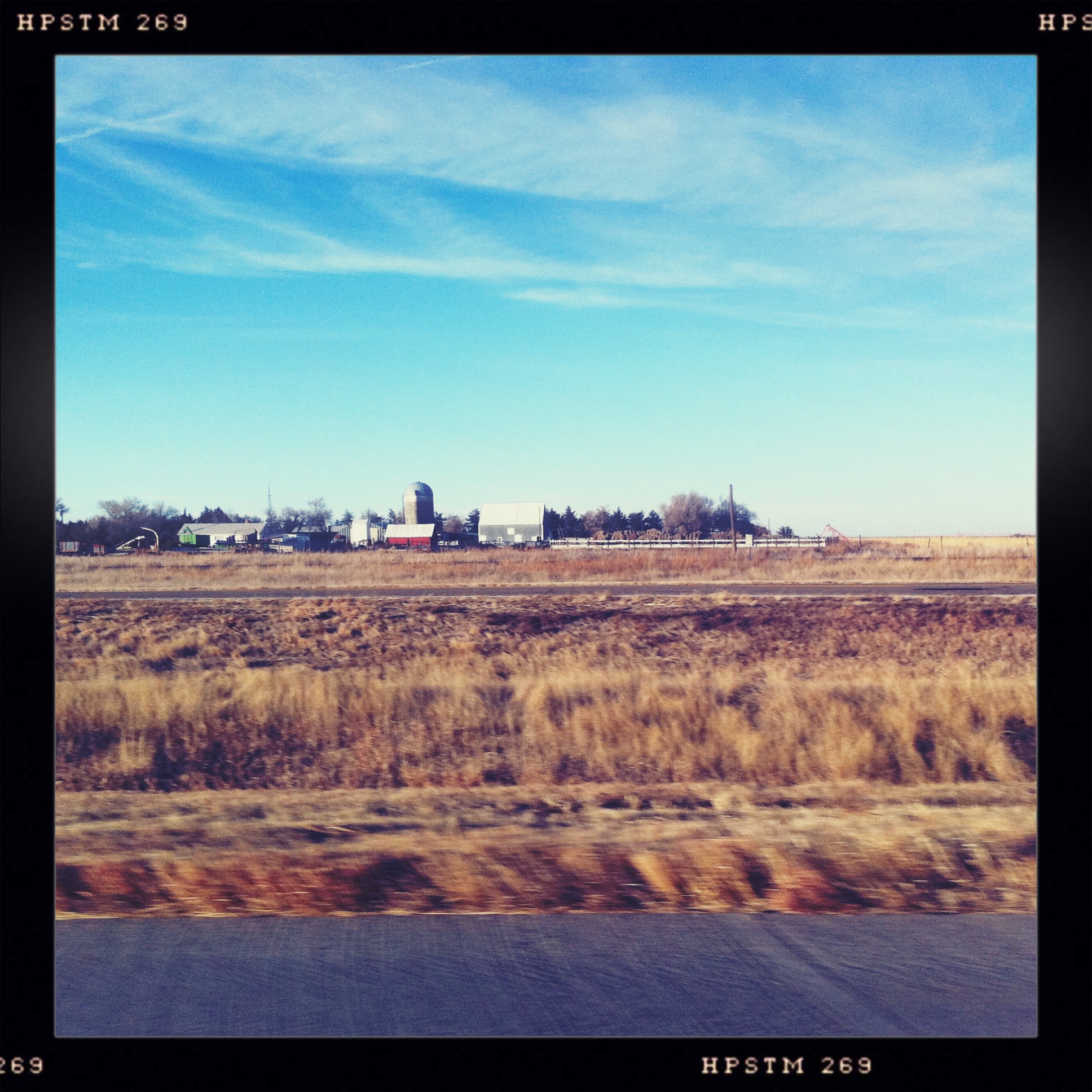
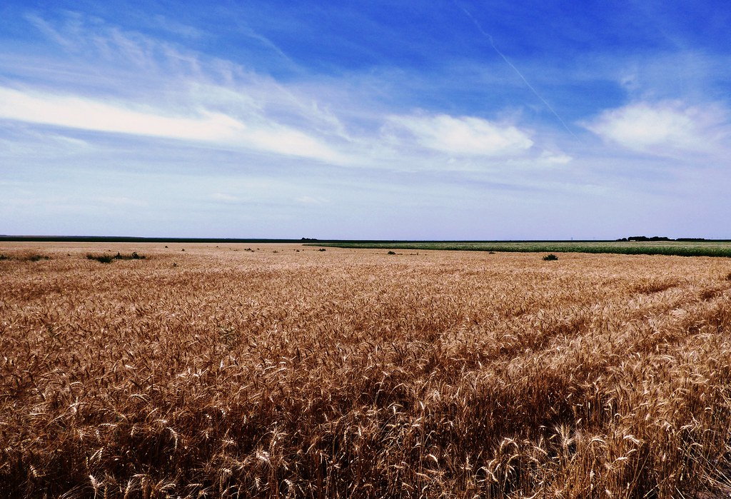
Related Photos:
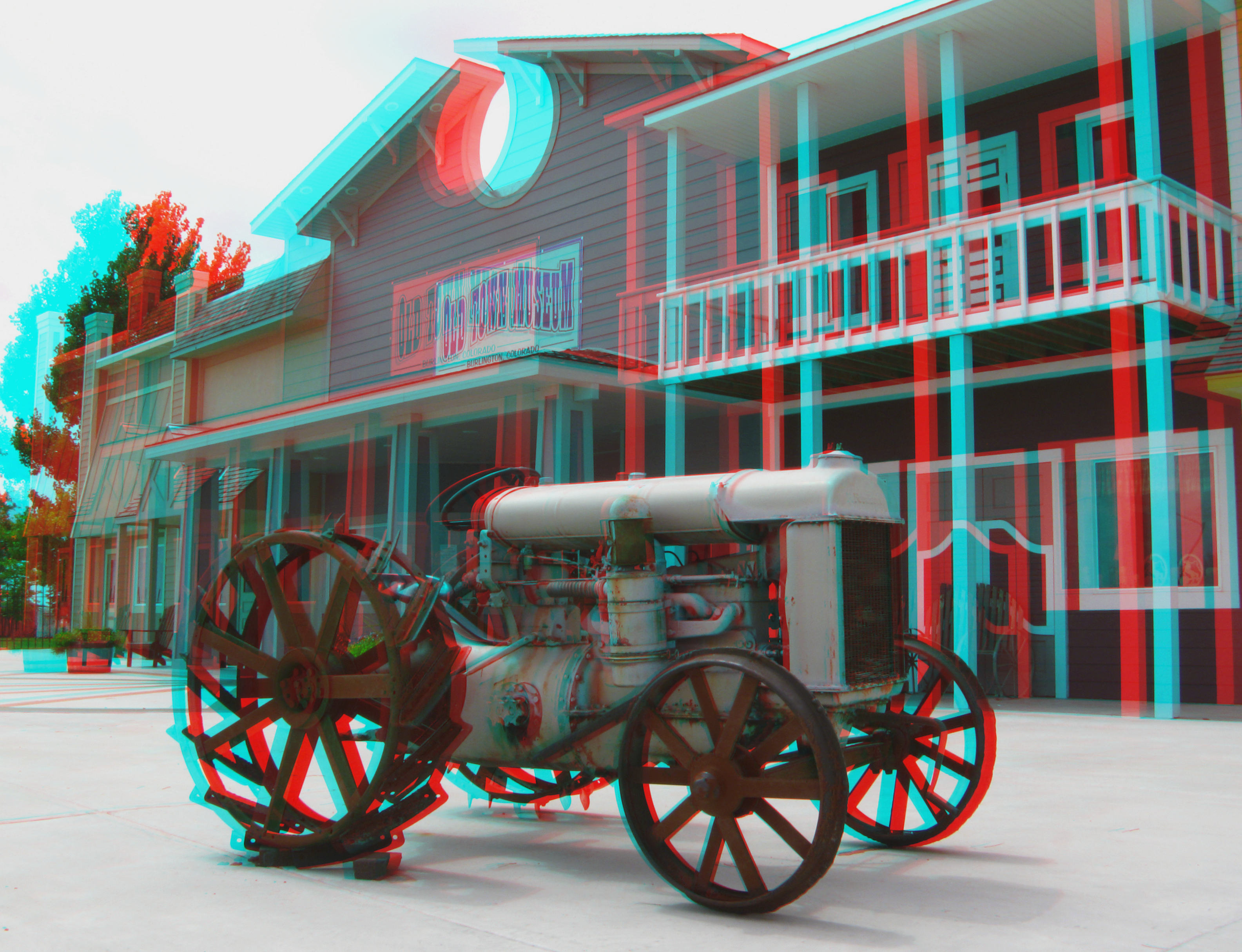
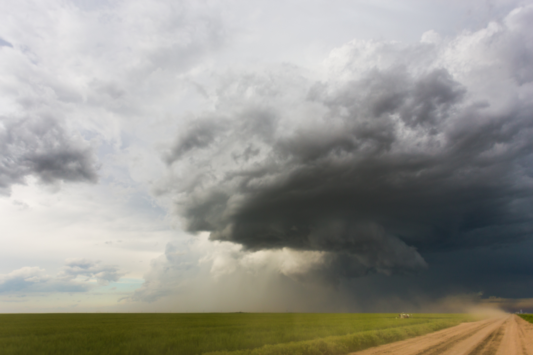
IMG_0180-L
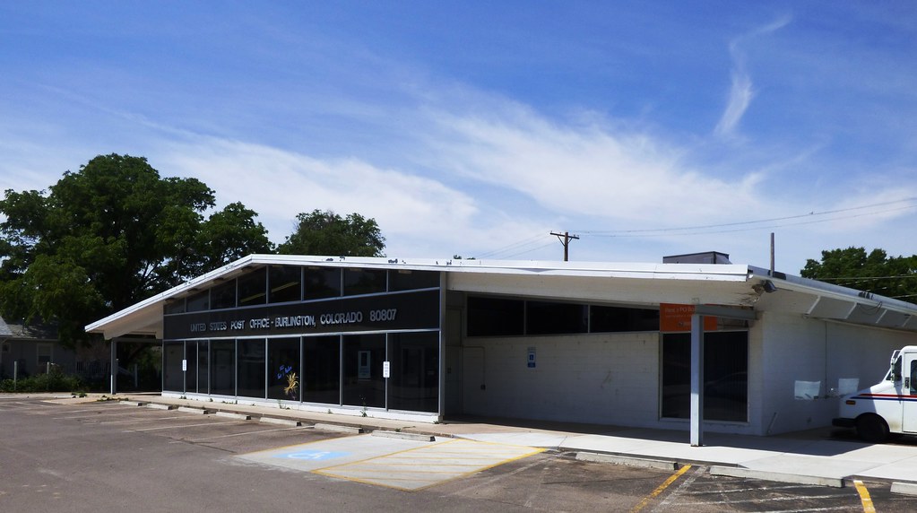
Former Burlington, Colorado Safeway, Side View.
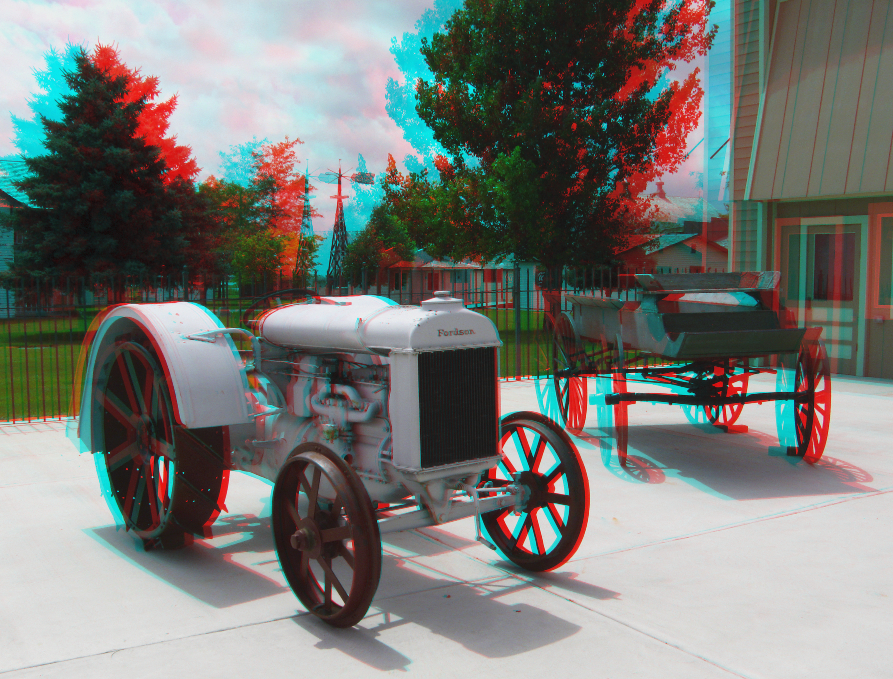
Antique Fordson Tractor (3D)
Burlington Gold
Colorado Road 2
Colorado Road Farm
Burlington, Colorado
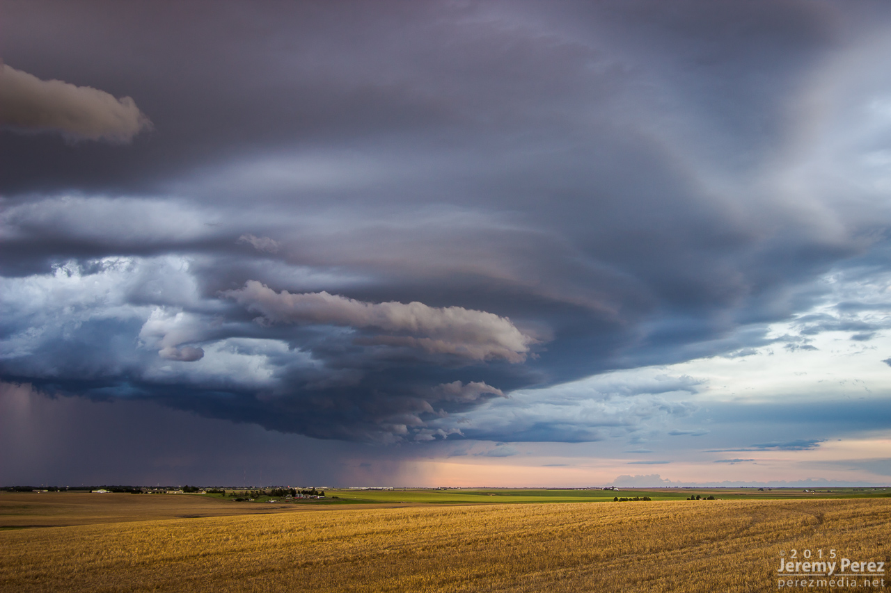
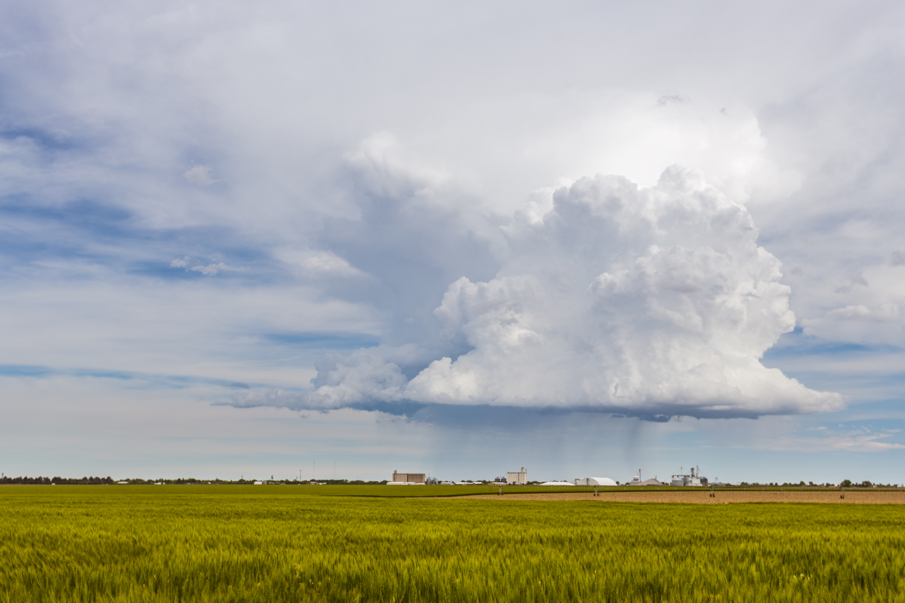
Across the Fruited Plain
IMG_1680.jpg
IMG_1616-HDR.jpg

IMG_1601.jpg
Topographic Map of US-24, Burlington, CO, USA
Find elevation by address:

Places near US-24, Burlington, CO, USA:
Burlington
Martin Ave, Burlington, CO, USA
Stratton
Co Rd 30, Stratton, CO, USA
Mount Sunflower
Weskan
Cooper Avenue
715 Center Ave
Goodland
Cheyenne County
Weskan
Wallace County
Sharon Springs
KS-27, Sharon Springs, KS, USA
Sharon Springs
Colorado Ave, Sheridan Lake, CO, USA
Sheridan Lake
Towner
College Ave, Sheridan Lake, CO, USA
Brandon
Recent Searches:
- Elevation of Congressional Dr, Stevensville, MD, USA
- Elevation of Bellview Rd, McLean, VA, USA
- Elevation of Stage Island Rd, Chatham, MA, USA
- Elevation of Shibuya Scramble Crossing, 21 Udagawacho, Shibuya City, Tokyo -, Japan
- Elevation of Jadagoniai, Kaunas District Municipality, Lithuania
- Elevation of Pagonija rock, Kranto 7-oji g. 8"N, Kaunas, Lithuania
- Elevation of Co Rd 87, Jamestown, CO, USA
- Elevation of Tenjo, Cundinamarca, Colombia
- Elevation of Côte-des-Neiges, Montreal, QC H4A 3J6, Canada
- Elevation of Bobcat Dr, Helena, MT, USA