Elevation of Leoti, KS, USA
Location: United States > Kansas > Wichita County > Leoti >
Longitude: -101.35877
Latitude: 38.479741
Elevation: 1008m / 3307feet
Barometric Pressure: 90KPa
Elevation Map:
Satellite Map:
Related Photos:
Bound for Colorado
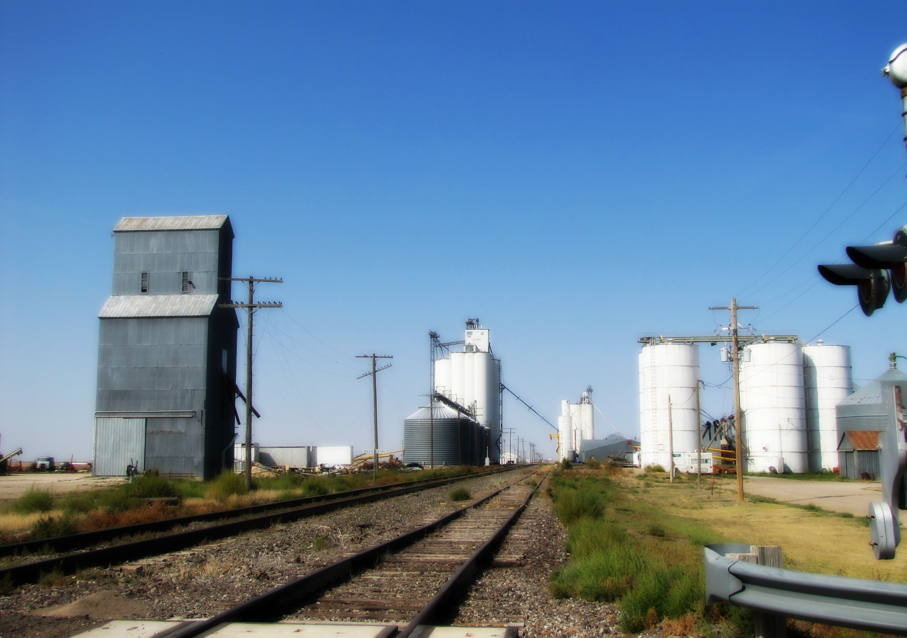
Grain Elevator

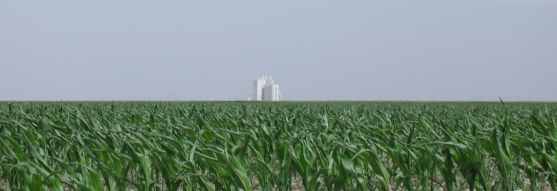
Are we still in Kansas?
Are we still in Kansas?

Sunflower Kansas
Keep the runway clear!

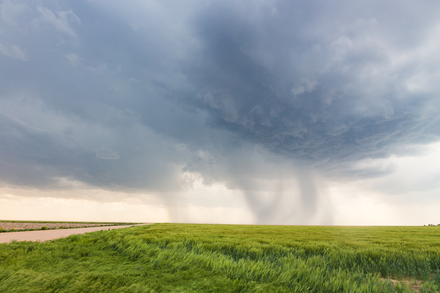
Leoti, KS Tornado #2 - 05/21/16

Leoti, KS Supercell - 05/21/16

IMG_3715_HDR.jpg

IMG_3707_HDR.jpg
IMG_3283.jpg
Topographic Map of Leoti, KS, USA
Find elevation by address:

Places in Leoti, KS, USA:
Places near Leoti, KS, USA:
S 4th St, Leoti, KS, USA
Wichita County
Leoti
Kearny County
Lakin
Sharon Springs
KS-27, Sharon Springs, KS, USA
Sharon Springs
Syracuse
Wallace County
Hamilton County
Weskan
Cooper Avenue
Weskan
College Ave, Sheridan Lake, CO, USA
Towner
Mount Sunflower
Holly
Brewster
West Hale
Recent Searches:
- Elevation of Congressional Dr, Stevensville, MD, USA
- Elevation of Bellview Rd, McLean, VA, USA
- Elevation of Stage Island Rd, Chatham, MA, USA
- Elevation of Shibuya Scramble Crossing, 21 Udagawacho, Shibuya City, Tokyo -, Japan
- Elevation of Jadagoniai, Kaunas District Municipality, Lithuania
- Elevation of Pagonija rock, Kranto 7-oji g. 8"N, Kaunas, Lithuania
- Elevation of Co Rd 87, Jamestown, CO, USA
- Elevation of Tenjo, Cundinamarca, Colombia
- Elevation of Côte-des-Neiges, Montreal, QC H4A 3J6, Canada
- Elevation of Bobcat Dr, Helena, MT, USA