Elevation of Cedar Creek, UT, USA
Location: United States > Utah > Box Elder County >
Longitude: -113.15708
Latitude: 41.9652559
Elevation: 1575m / 5167feet
Barometric Pressure: 84KPa
Elevation Map:
Satellite Map:
Related Photos:
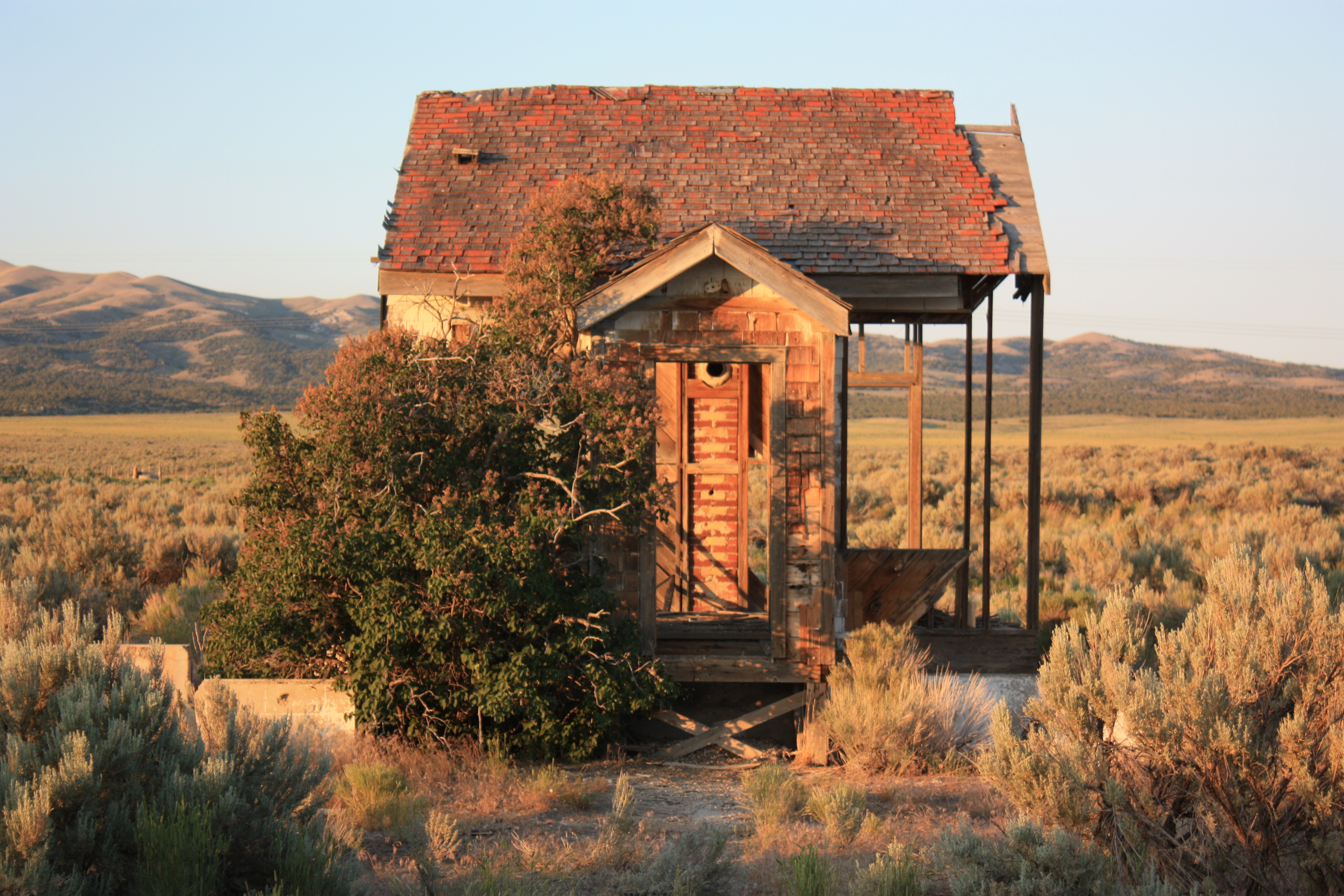
An old ruined house front
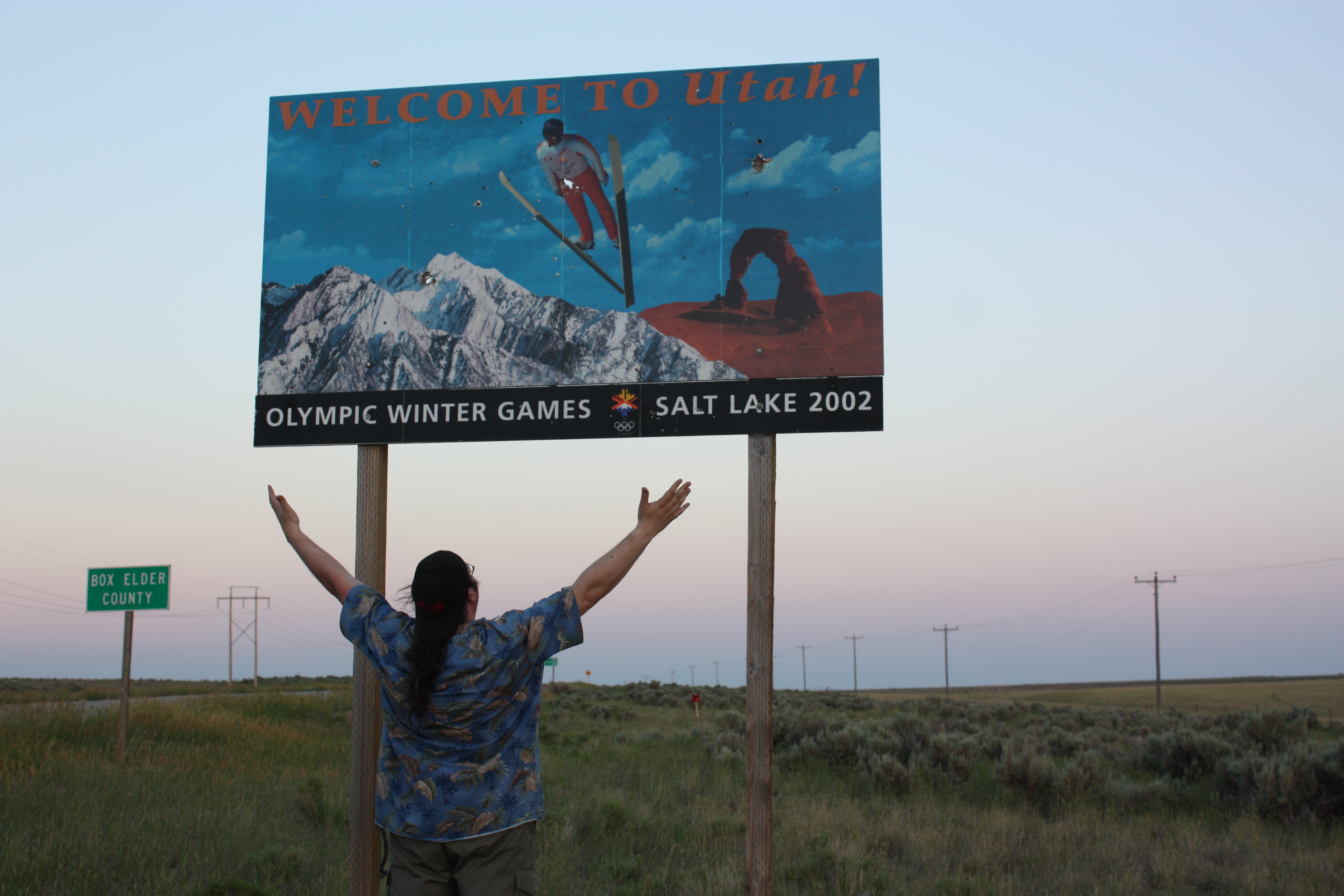
Welcome to Utah
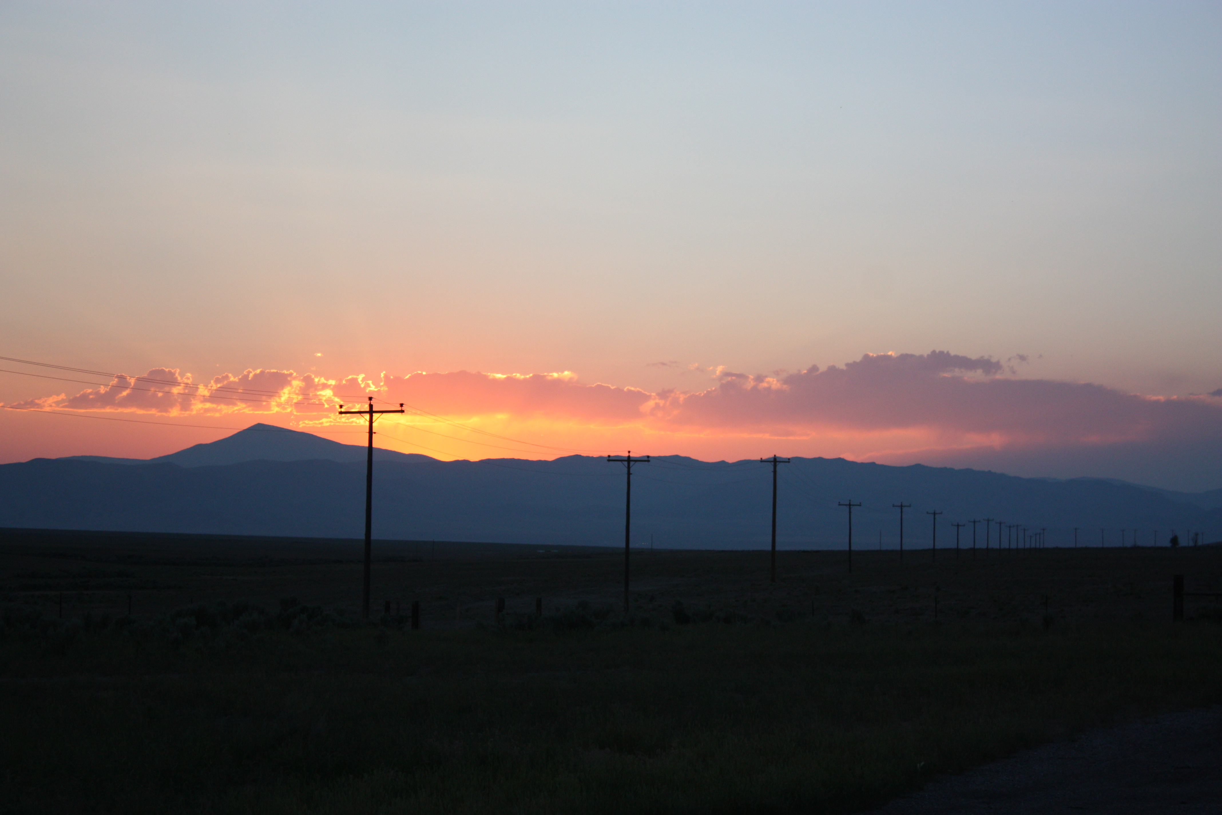
Utah Sunset

An old ruined house
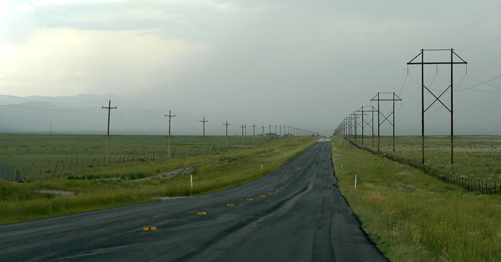
20040628_9760...Highway gloom

Half 'n half... 20110604_9711
Decaying... 20110604_9614
Raft River Mountains

Life Elevated -- P1020898

Clear Creek Campground
Topographic Map of Cedar Creek, UT, USA
Find elevation by address:

Places near Cedar Creek, UT, USA:
Kelton
N West Rd, Park Valley, UT, USA
Park Valley
Juniper
Sawtooth National Forest
Salt Wells Road
Box Elder County
Snowville
City Of Rocks Idaho
Elba-Almo Rd, Malta, ID, USA
Almo
Stines Creek Trailhead, Castle Rocks State Park
City Of Rocks National Reserve
Golden Spike National Historical Park
Spiral Jetty
Puddle Valley
GREENHAVEN, UT, USA
Recent Searches:
- Elevation of Tenjo, Cundinamarca, Colombia
- Elevation of Côte-des-Neiges, Montreal, QC H4A 3J6, Canada
- Elevation of Bobcat Dr, Helena, MT, USA
- Elevation of Zu den Ihlowbergen, Althüttendorf, Germany
- Elevation of Badaber, Peshawar, Khyber Pakhtunkhwa, Pakistan
- Elevation of SE Heron Loop, Lincoln City, OR, USA
- Elevation of Slanický ostrov, 01 Námestovo, Slovakia
- Elevation of Spaceport America, Co Rd A, Truth or Consequences, NM, USA
- Elevation of Warwick, RI, USA
- Elevation of Fern Rd, Whitmore, CA, USA