Elevation map of GREENHAVEN, UT, USA
Location: United States > Utah >
Longitude: -113.85847
Latitude: 41.1663079
Elevation: 1404m / 4606feet
Barometric Pressure: 86KPa
Elevation Map:
Satellite Map:
Related Photos:

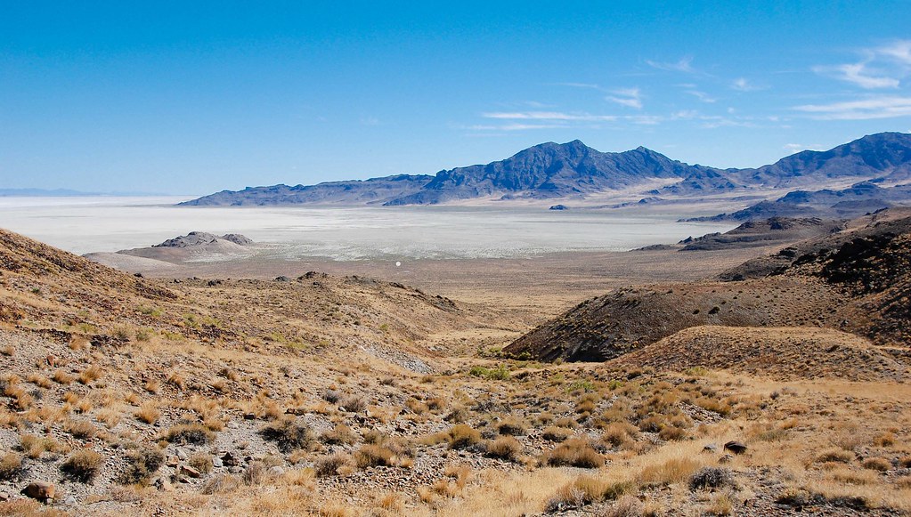
20050625_5301...Lion Mountain in the background

20050625_5263...Turn right to go to the Sun Tunnels

Mysterious goings-on in the desert.. 20120419_1677-80-83-86
White dot and the Donner party... 20100913_6814

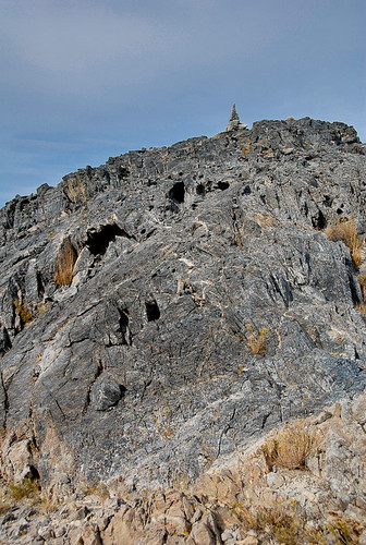
20091012_8113...Atop a Crater Island peak

Morning view into the tent....20110626_9767
Lake Bonneville wave terrace?... 20100913_6331
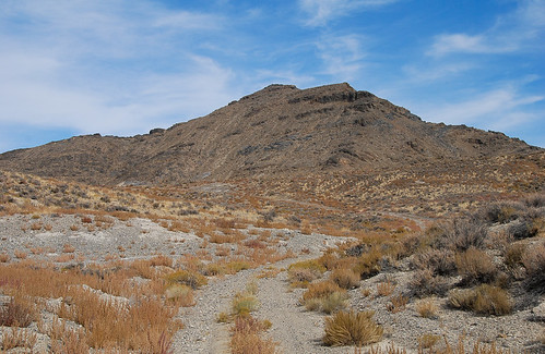
20091012_7982...Goal peak at Crater Island

Sun Tunnels

20050625_5365...The view through a sun tunnel can be scary

20091012_8077...Gentle west ridge of Peak 5297

Just mining my own business... 20100913_6232

Would not win a beauty contest... 20100913_6349

Joe Tripod, mining his own business... 20100913_6228

Steepest gradient I encountered... 20100913_6340

The Sun Tunnels
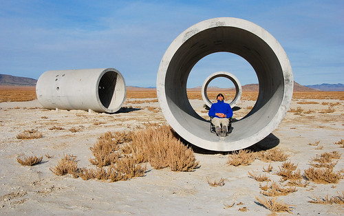
20091011_6910...Aligning the mind

Mud flats... 20100913_6325

Approaching my Crater Island campsite....20110609_3228
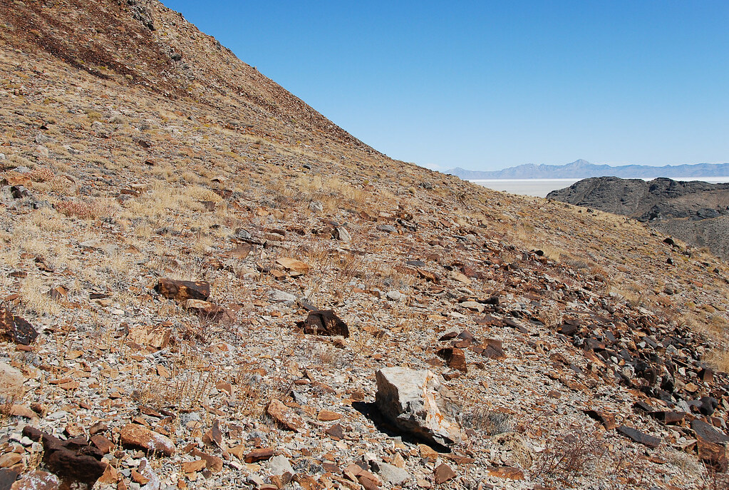
20091012_8110...Gloves needed here

20091012_8163...Looking longingly at Lucin

Lonely tree on the mud flat... 20090519_2105

20091012_8107...Following the base of the wall

Great Salt Lake Desert, Utah

The tunnels aimed toward me are aligned with the location of the setting sun at winter solstice; the other two are aligned with the summer solstice. Holes in the cylinders align with constellations. It's a little Indiana jones
Topographic Map of GREENHAVEN, UT, USA
Find elevation by address:

Places near GREENHAVEN, UT, USA:
Box Elder County
Sawtooth National Forest
Park Valley
N West Rd, Park Valley, UT, USA
City Of Rocks National Reserve
Puddle Valley
Kelton
City Of Rocks Idaho
Almo
Elba-Almo Rd, Malta, ID, USA
Stines Creek Trailhead, Castle Rocks State Park
Cedar Creek
Salt Wells Road
Spiral Jetty
Juniper
Golden Spike National Historical Park
Snowville
Recent Searches:
- Elevation of Woolwine, VA, USA
- Elevation of Lumagwas Diversified Farmers Multi-Purpose Cooperative, Lumagwas, Adtuyon, RV32+MH7, Pangantucan, Bukidnon, Philippines
- Elevation of Homestead Ridge, New Braunfels, TX, USA
- Elevation of Orchard Road, Orchard Rd, Marlborough, NY, USA
- Elevation of 12 Hutchinson Woods Dr, Fletcher, NC, USA
- Elevation of Holloway Ave, San Francisco, CA, USA
- Elevation of Norfolk, NY, USA
- Elevation of - San Marcos Pass Rd, Santa Barbara, CA, USA
- Elevation of th Pl SE, Issaquah, WA, USA
- Elevation of 82- D Rd, Captain Cook, HI, USA