Elevation of Puddle Valley, Utah, USA
Location: United States > Utah > Box Elder County >
Longitude: -112.93414
Latitude: 41.0165996
Elevation: 1399m / 4590feet
Barometric Pressure: 86KPa
Elevation Map:
Satellite Map:
Related Photos:
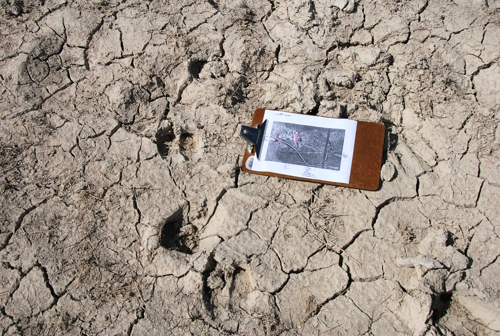
.20080506_5991...Mysterious formations---7 of 8: Clipboard in a watering hole
UTTR @ Great Salt Lake, Utah
UTTR boundary---eastward... 20080506_6019
Wrong way... 20080506_6032
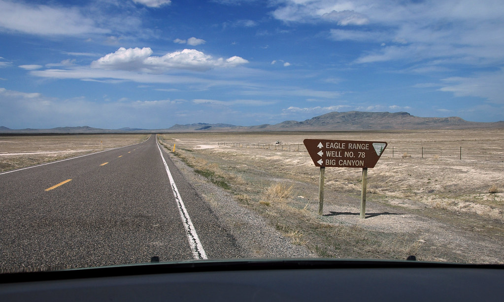
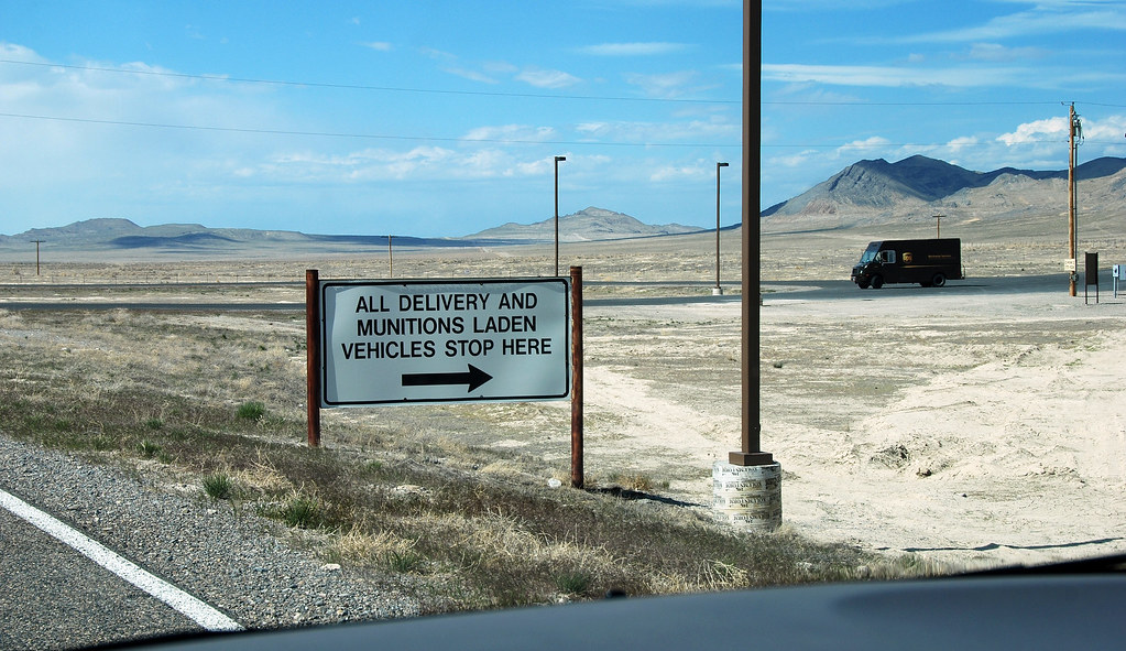
.20080506_5955...Mysterious formations---1 of 8: Directions sign
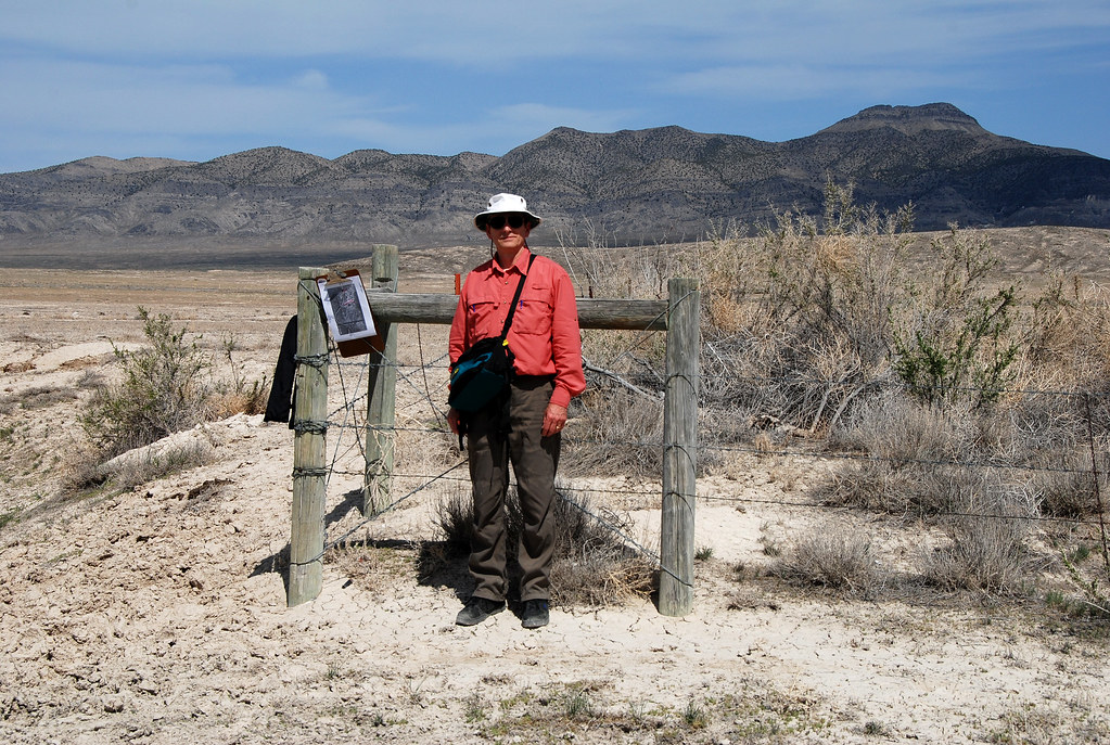
.20080506_5985...Mysterious formations---6 of 8: Your reporter in the field
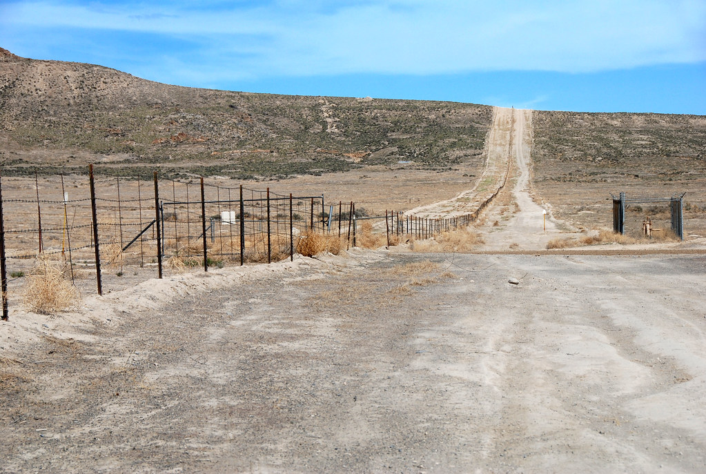
UTTR boundary---west... .20080506_6024
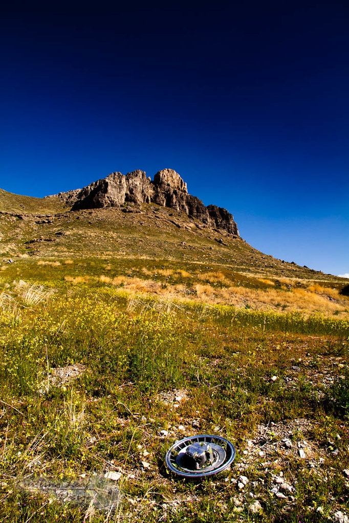
hub cap
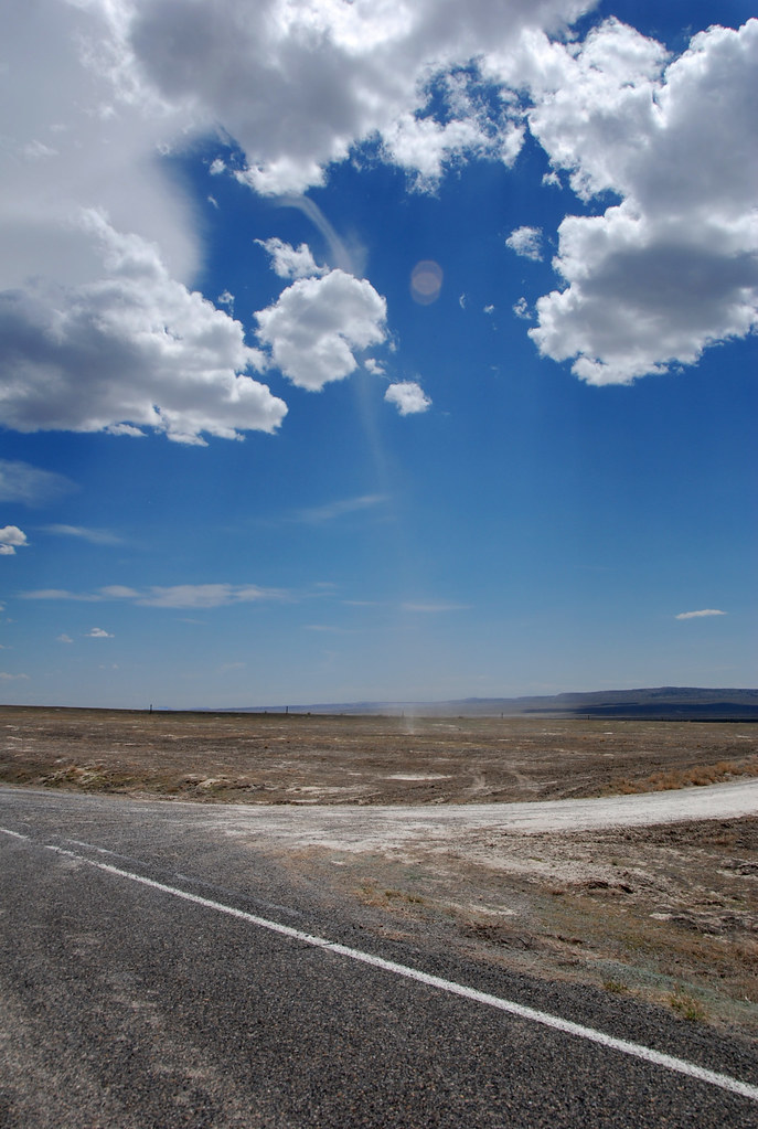
Dust devil... 20080506_5941
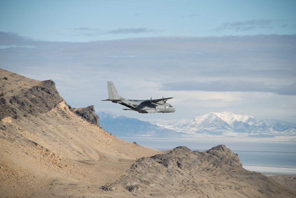
Supply drop
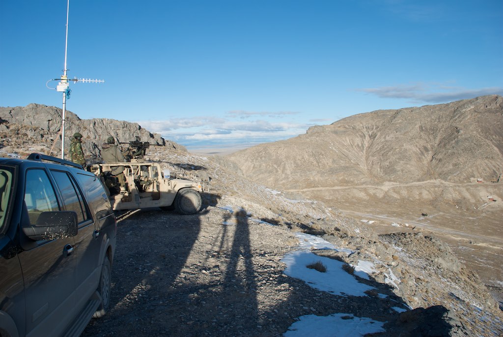
Ground Control
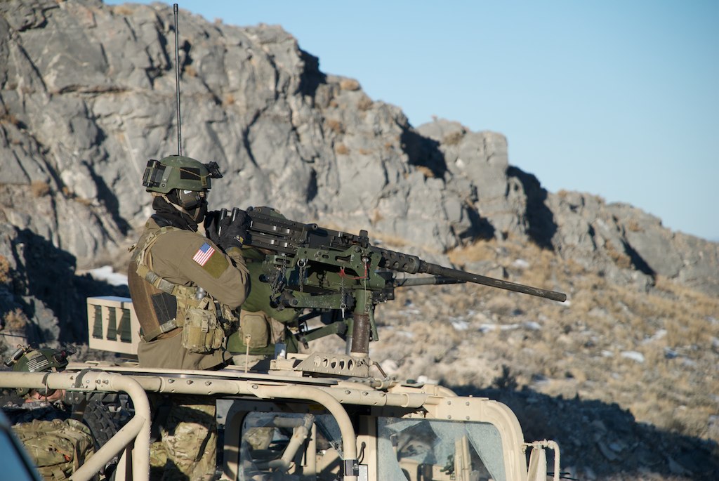
Ready to fire on our targets
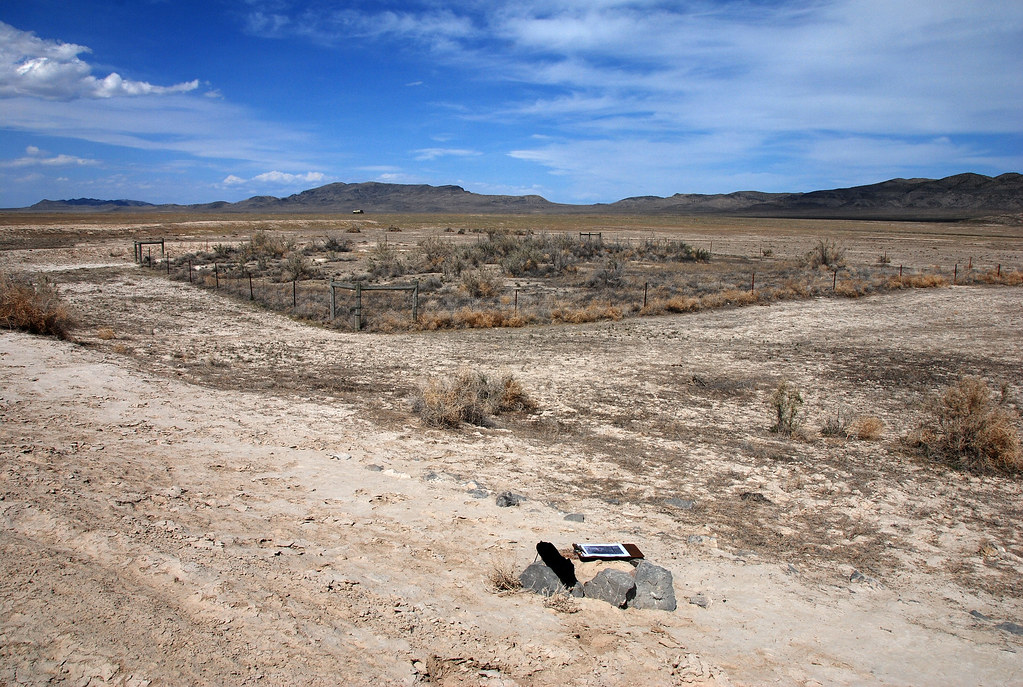
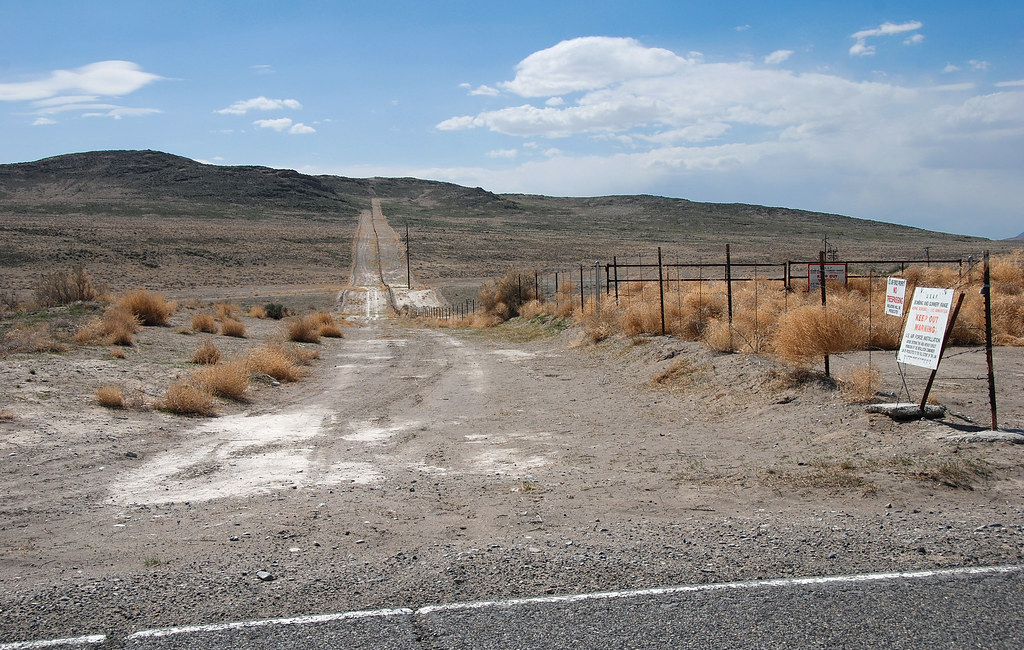
.20080506_5974...Mysterious formations---4 of 8: Fenced area inside the berm
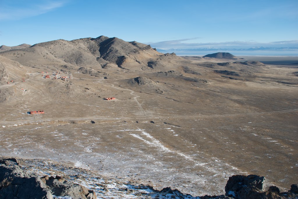
Lakeside Mountains, Utah
Oasis target range
Topographic Map of Puddle Valley, Utah, USA
Find elevation by address:

Places near Puddle Valley, Utah, USA:
Spiral Jetty
Box Elder County
Salt Wells Road
Golden Spike National Historical Park
Kelton
N West Rd, Park Valley, UT, USA
Park Valley
GREENHAVEN, UT, USA
Cedar Creek
Snowville
Sawtooth National Forest
Juniper
City Of Rocks Idaho
Almo
Elba-Almo Rd, Malta, ID, USA
City Of Rocks National Reserve
Stines Creek Trailhead, Castle Rocks State Park
Recent Searches:
- Elevation of Leyte Industrial Development Estate, Isabel, Leyte, Philippines
- Elevation of W Granada St, Tampa, FL, USA
- Elevation of Pykes Down, Ivybridge PL21 0BY, UK
- Elevation of Jalan Senandin, Lutong, Miri, Sarawak, Malaysia
- Elevation of Bilohirs'k
- Elevation of 30 Oak Lawn Dr, Barkhamsted, CT, USA
- Elevation of Luther Road, Luther Rd, Auburn, CA, USA
- Elevation of Unnamed Road, Respublika Severnaya Osetiya — Alaniya, Russia
- Elevation of Verkhny Fiagdon, North Ossetia–Alania Republic, Russia
- Elevation of F. Viola Hiway, San Rafael, Bulacan, Philippines