Elevation of Canyon Rd, Roundup, MT, USA
Location: United States > Montana > Musselshell County > Roundup >
Longitude: -108.50536
Latitude: 46.3210229
Elevation: 1146m / 3760feet
Barometric Pressure: 88KPa
Elevation Map:
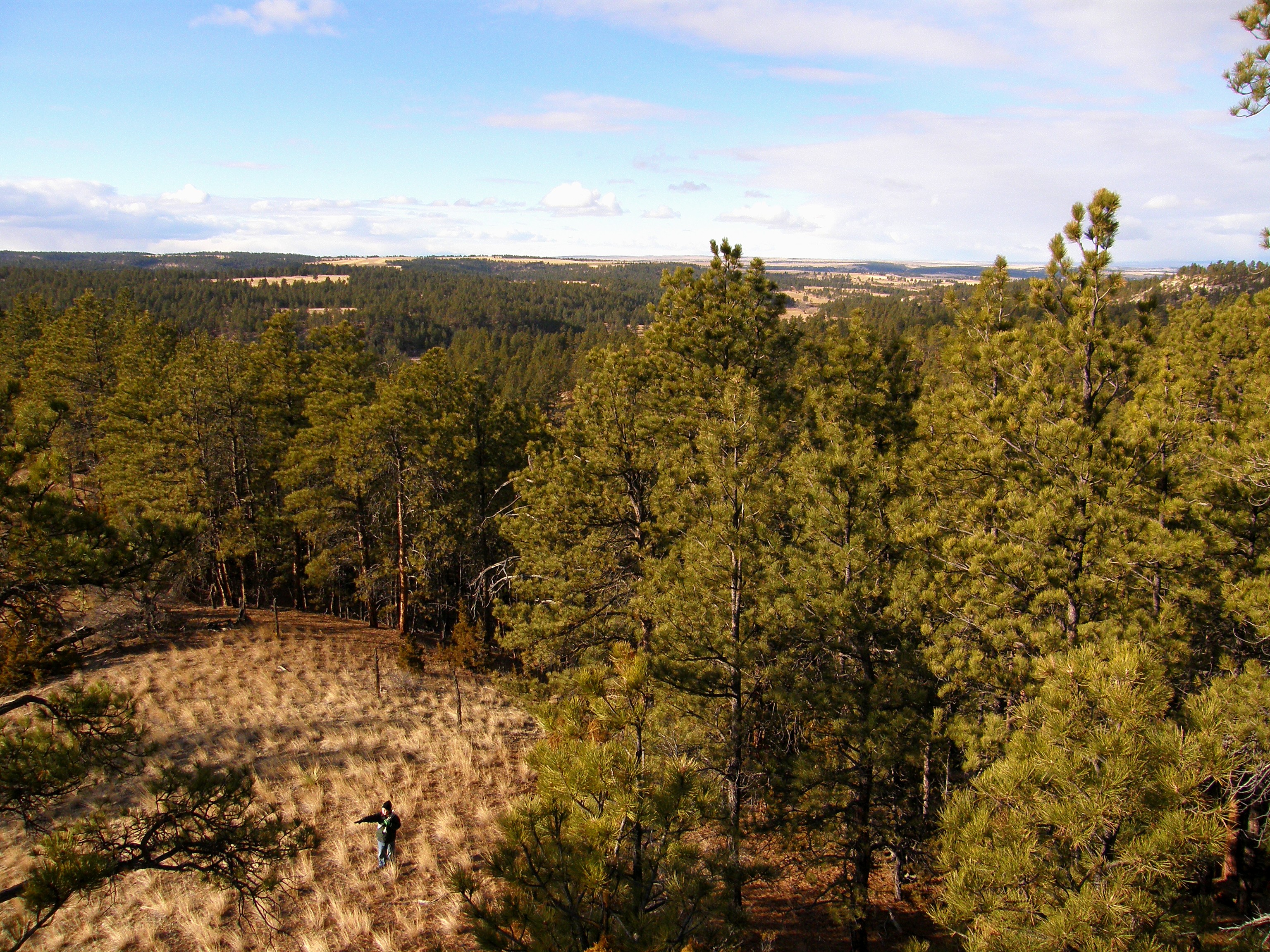
Satellite Map:
Related Photos:

Google Street View - Pan-American Trek - MBK Unlimited

Roundup, Montana

Roundup, Montana 59072

Red Barn Morning

A Beautiful Montana Morning

Front Porch View

Big Sky Country
Opposing View Points

Fall Run

Bull Mountains Mine

Bull Mountains Mine

Heaven on Earth II

Heaven on Earth V

Heaven on Earth

Heaven on Earth III

2011-07-14_18-50-04_162
Topographic Map of Canyon Rd, Roundup, MT, USA
Find elevation by address:

Places near Canyon Rd, Roundup, MT, USA:
41 Dillman Rd
259 Roland Rd
40 Halfbreed Creek Rd
Halfbreed Creek Road
4 Halfbreed Creek Rd
100 Portal Dr
Klein
1345 P K Rd
6043 Pleasant Hollow Trail
Shepherd
5020 Encampment Trail
Acton
Lavina
Billings, MT, USA
Huntley
Billings Heights
Belmont
42 Almadin Ln
Heights
347 Westchester Square N
Recent Searches:
- Elevation of Congressional Dr, Stevensville, MD, USA
- Elevation of Bellview Rd, McLean, VA, USA
- Elevation of Stage Island Rd, Chatham, MA, USA
- Elevation of Shibuya Scramble Crossing, 21 Udagawacho, Shibuya City, Tokyo -, Japan
- Elevation of Jadagoniai, Kaunas District Municipality, Lithuania
- Elevation of Pagonija rock, Kranto 7-oji g. 8"N, Kaunas, Lithuania
- Elevation of Co Rd 87, Jamestown, CO, USA
- Elevation of Tenjo, Cundinamarca, Colombia
- Elevation of Côte-des-Neiges, Montreal, QC H4A 3J6, Canada
- Elevation of Bobcat Dr, Helena, MT, USA