Elevation of Belmont, MT, USA
Location: United States > Montana > Golden Valley County >
Longitude: -108.98877
Latitude: 46.2313455
Elevation: 1125m / 3691feet
Barometric Pressure: 89KPa
Elevation Map:
Satellite Map:
Related Photos:
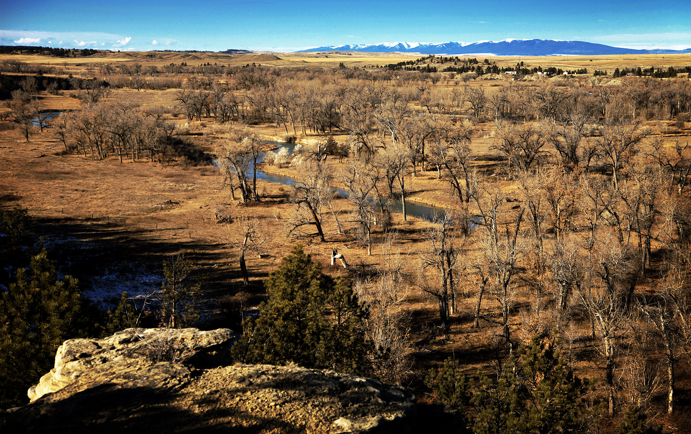
The Ballard Ranch
Topographic Map of Belmont, MT, USA
Find elevation by address:

Places near Belmont, MT, USA:
Lavina
Golden Valley County
Ryegate
Golden Valley Colony Ln, Ryegate, MT, USA
Rothiemay Rd, Ryegate, MT, USA
Franklin
Rapelje, MT, USA
Molt
259 Roland Rd
Acton
13300 Buffalo Jump
5020 Encampment Trail
Klein
4 Halfbreed Creek Rd
Halfbreed Creek Road
40 Halfbreed Creek Rd
170 Canyon Rd
41 Dillman Rd
4901 Mt-3
Rhino Court
Recent Searches:
- Elevation of Corso Fratelli Cairoli, 35, Macerata MC, Italy
- Elevation of Tallevast Rd, Sarasota, FL, USA
- Elevation of 4th St E, Sonoma, CA, USA
- Elevation of Black Hollow Rd, Pennsdale, PA, USA
- Elevation of Oakland Ave, Williamsport, PA, USA
- Elevation of Pedrógão Grande, Portugal
- Elevation of Klee Dr, Martinsburg, WV, USA
- Elevation of Via Roma, Pieranica CR, Italy
- Elevation of Tavkvetili Mountain, Georgia
- Elevation of Hartfords Bluff Cir, Mt Pleasant, SC, USA