Elevation of Rothiemay Rd, Ryegate, MT, USA
Location: United States > Montana > Golden Valley County > Ryegate >
Longitude: -109.26714
Latitude: 46.372569
Elevation: 1140m / 3740feet
Barometric Pressure: 88KPa
Elevation Map:
Satellite Map:
Related Photos:
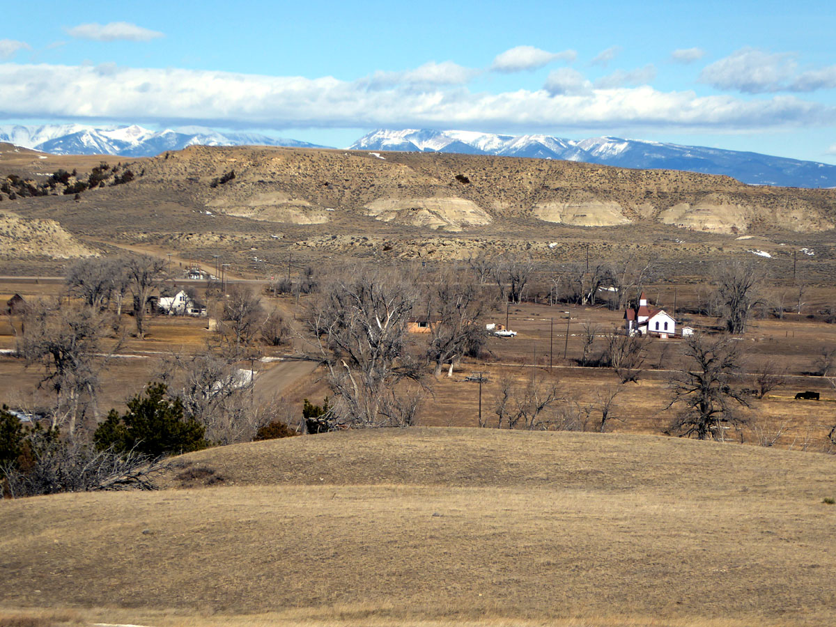
Barber, Montana

Nestled Along the Cliffs
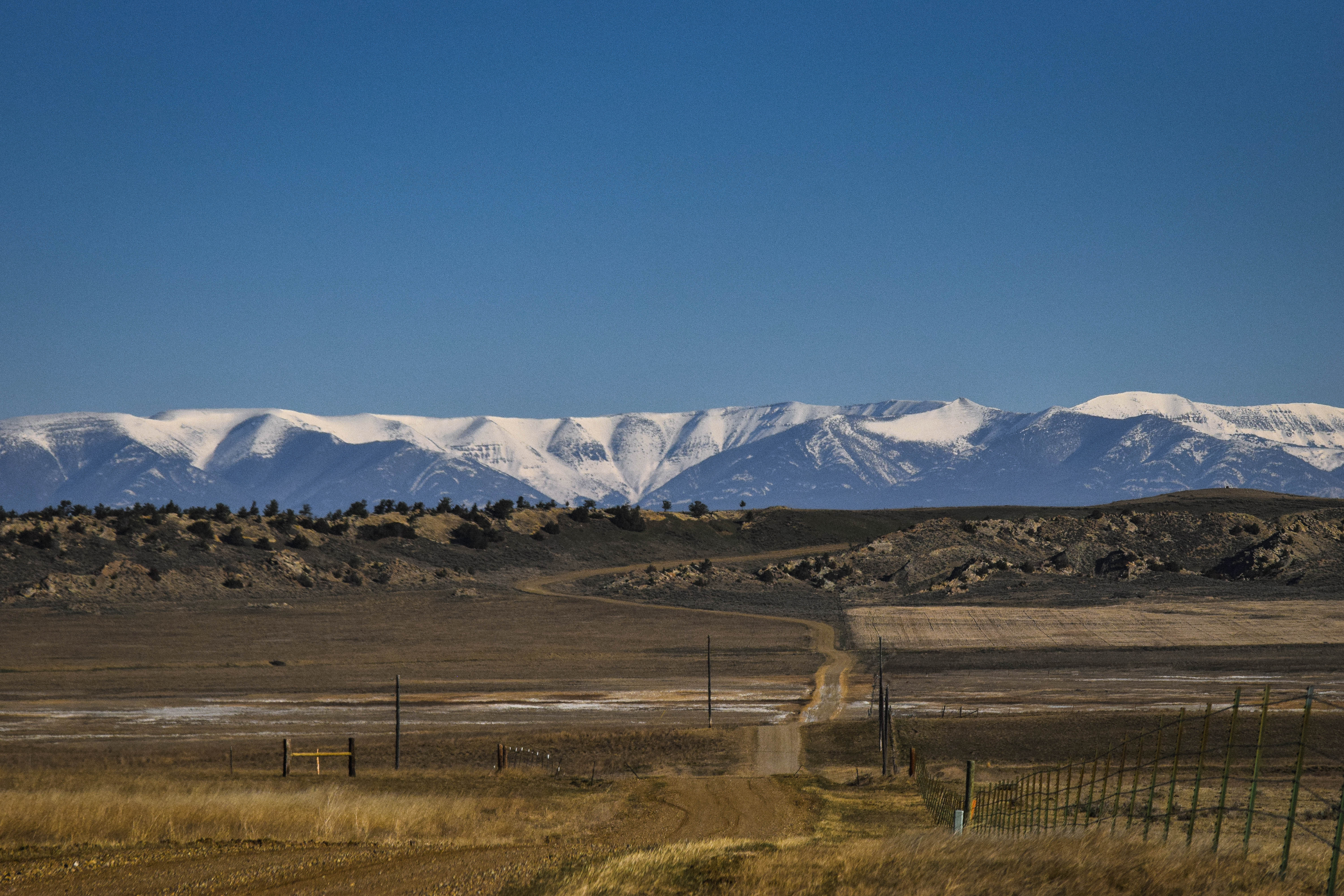
Big Snowy Mountains, outside Barber, Mt
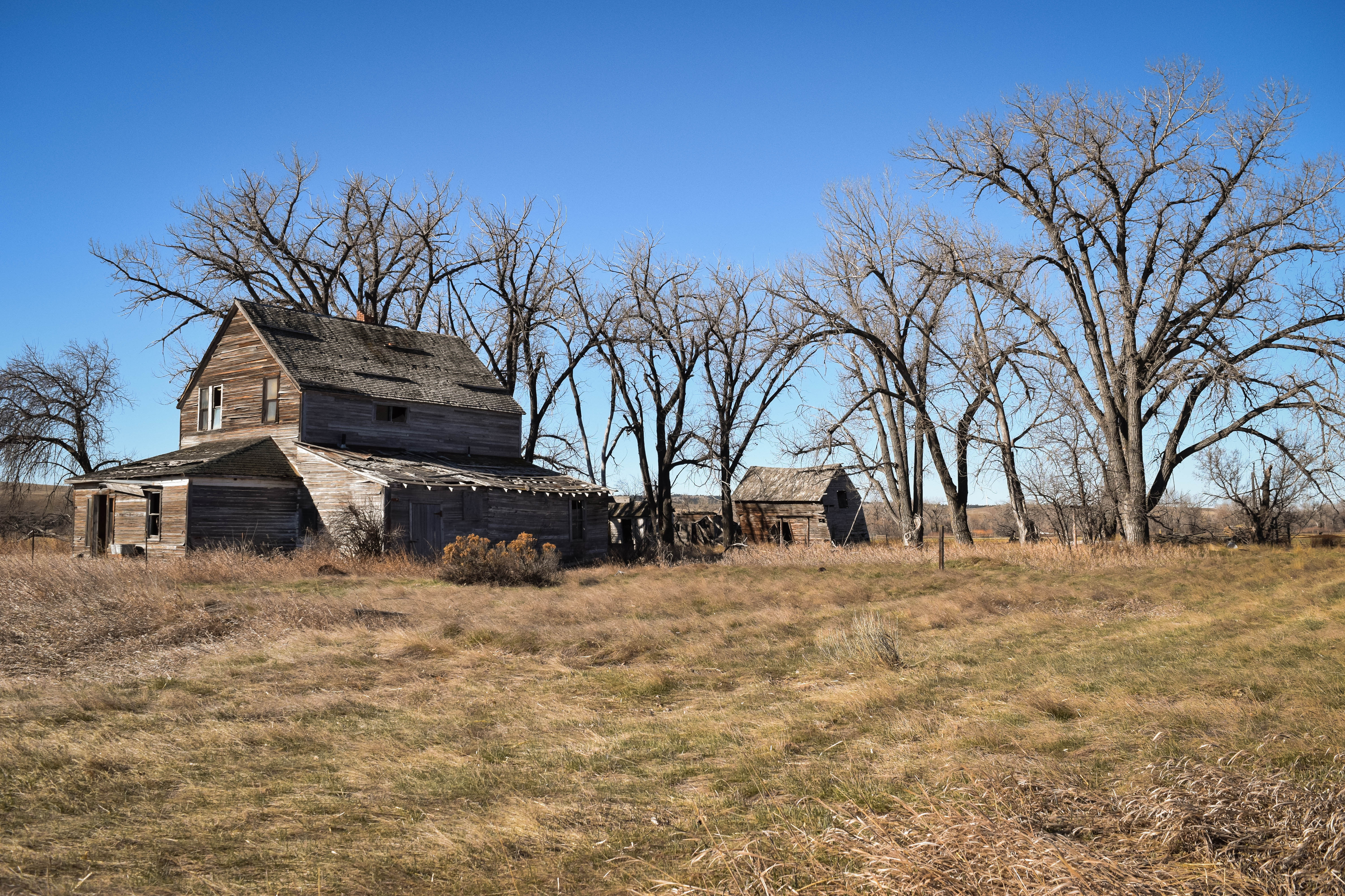
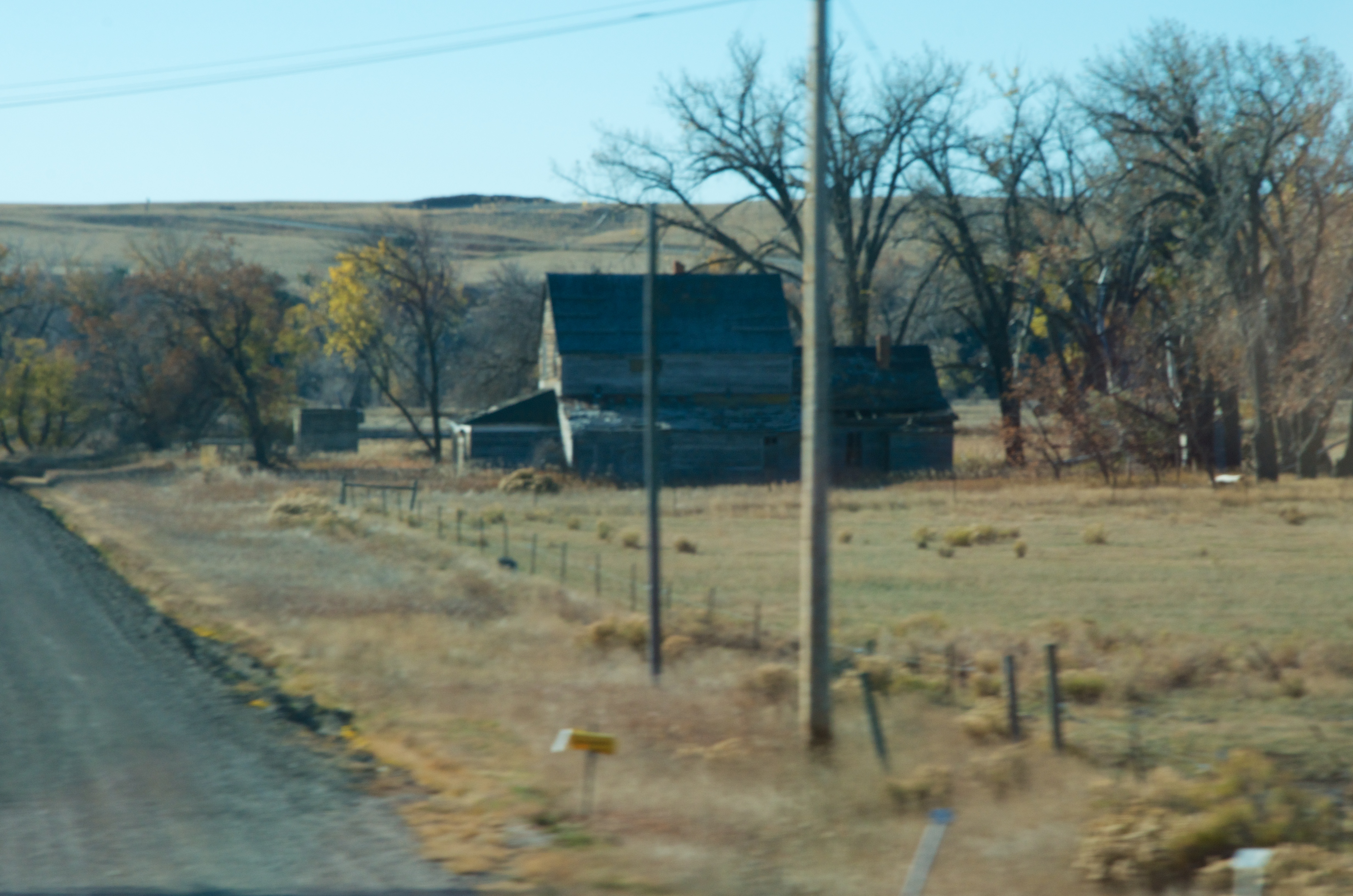
Abandoned House, Barber, Mt
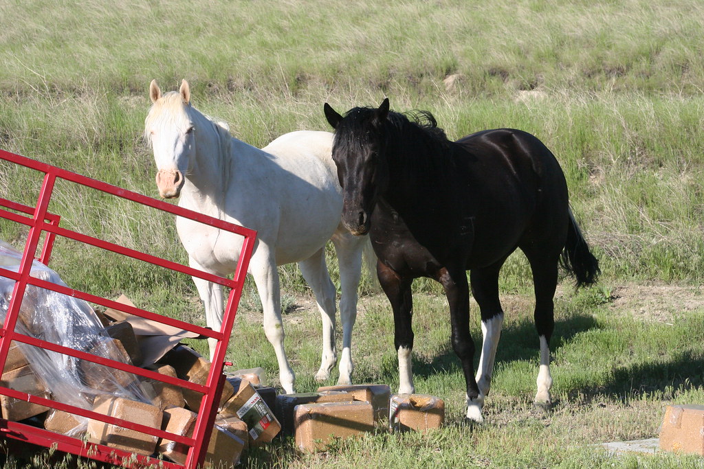
Table Rock Ranch Trespassers

Table Rock Ranch Trespassers

Table Rock Ranch Trespassers

Table Rock Ranch Trespassers
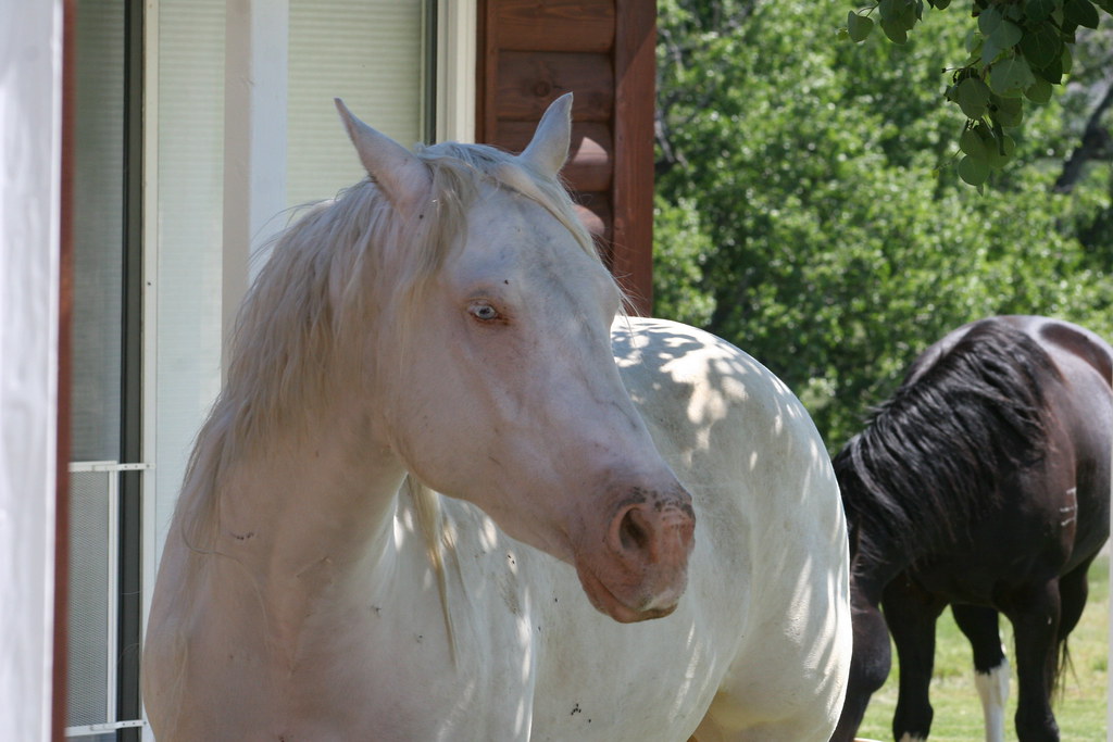
Table Rock Ranch Trespassers

Table Rock Ranch Trespassers

Table Rock Ranch Trespassers

Table Rock Ranch Trespassers

Table Rock Ranch Trespassers

Table Rock Ranch Trespassers

Table Rock Ranch Trespassers

ALCAN Drive, Taken on 2013-10-27, Pic #353
ALCAN Drive, Taken on 2013-10-27, Pic #348

Ryegate, Montana 59074
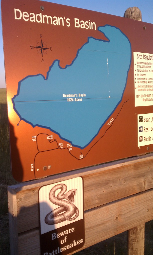
Deadman's Basin
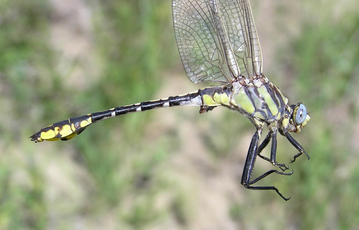
Plains Clubtail [ Gomphus externus ] male

Golden Valley County Courthouse (Ryegate, Montana)
Topographic Map of Rothiemay Rd, Ryegate, MT, USA
Find elevation by address:

Places near Rothiemay Rd, Ryegate, MT, USA:
Franklin
Ryegate
Golden Valley County
Golden Valley Colony Ln, Ryegate, MT, USA
Shawmut
Belmont
Lavina
43 Winnecook Ranch Ln, Shawmut, MT, USA
Rapelje, MT, USA
Molt
Stillwater County
61 Balfour Loop Rd
24 Mountain Vista Rd
259 Roland Rd
13300 Buffalo Jump
Reed Point
Klein
4 Halfbreed Creek Rd
Halfbreed Creek Road
Acton
Recent Searches:
- Elevation of Lampiasi St, Sarasota, FL, USA
- Elevation of Elwyn Dr, Roanoke Rapids, NC, USA
- Elevation of Congressional Dr, Stevensville, MD, USA
- Elevation of Bellview Rd, McLean, VA, USA
- Elevation of Stage Island Rd, Chatham, MA, USA
- Elevation of Shibuya Scramble Crossing, 21 Udagawacho, Shibuya City, Tokyo -, Japan
- Elevation of Jadagoniai, Kaunas District Municipality, Lithuania
- Elevation of Pagonija rock, Kranto 7-oji g. 8"N, Kaunas, Lithuania
- Elevation of Co Rd 87, Jamestown, CO, USA
- Elevation of Tenjo, Cundinamarca, Colombia