Elevation of Pleasant Hollow Trail, Shepherd, MT, USA
Location: United States > Montana > Yellowstone County > Shepherd >
Longitude: -108.33135
Latitude: 46.006962
Elevation: 970m / 3182feet
Barometric Pressure: 90KPa
Elevation Map:
Satellite Map:
Related Photos:
Shepherd, Montana 59079
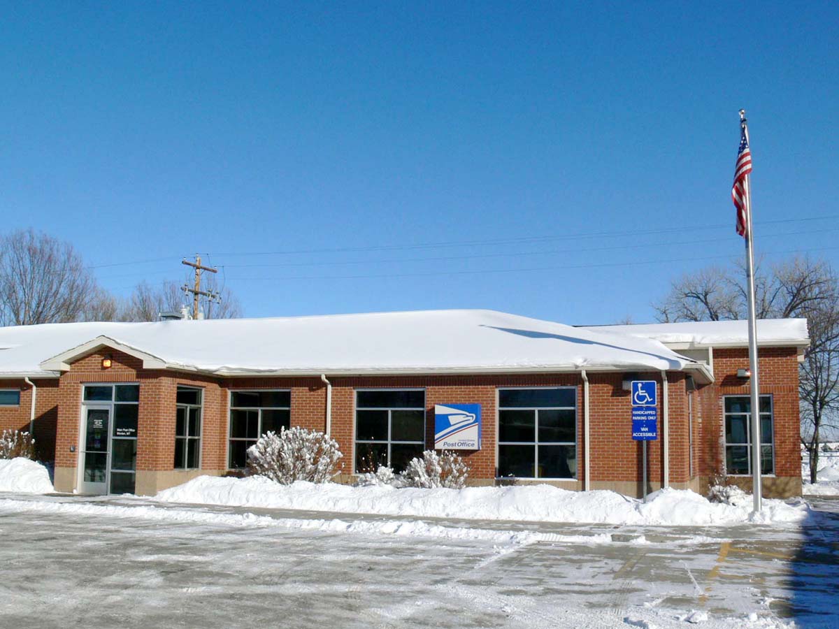
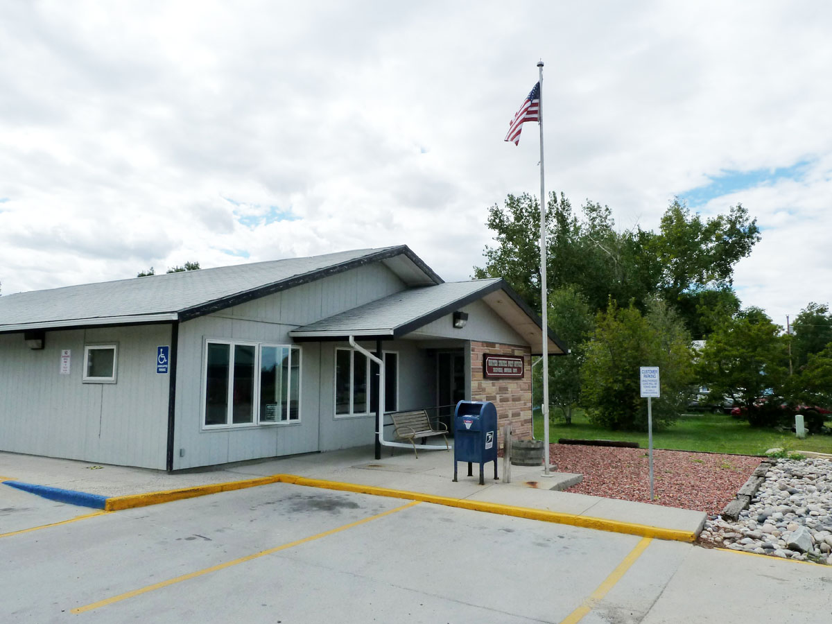
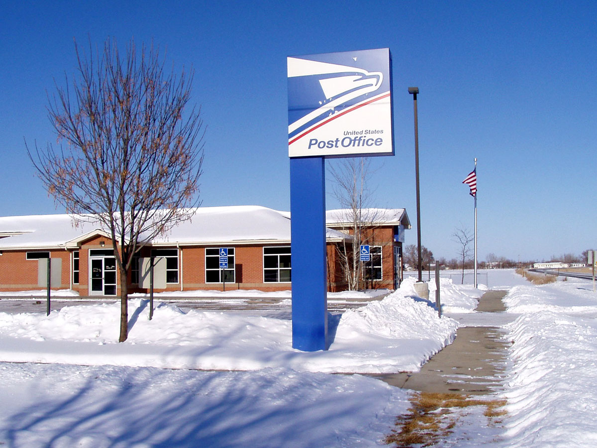
Worden, Montana 59088
Huntley, Montana 59037

Bales and Layers

090805.004
Montana Gold

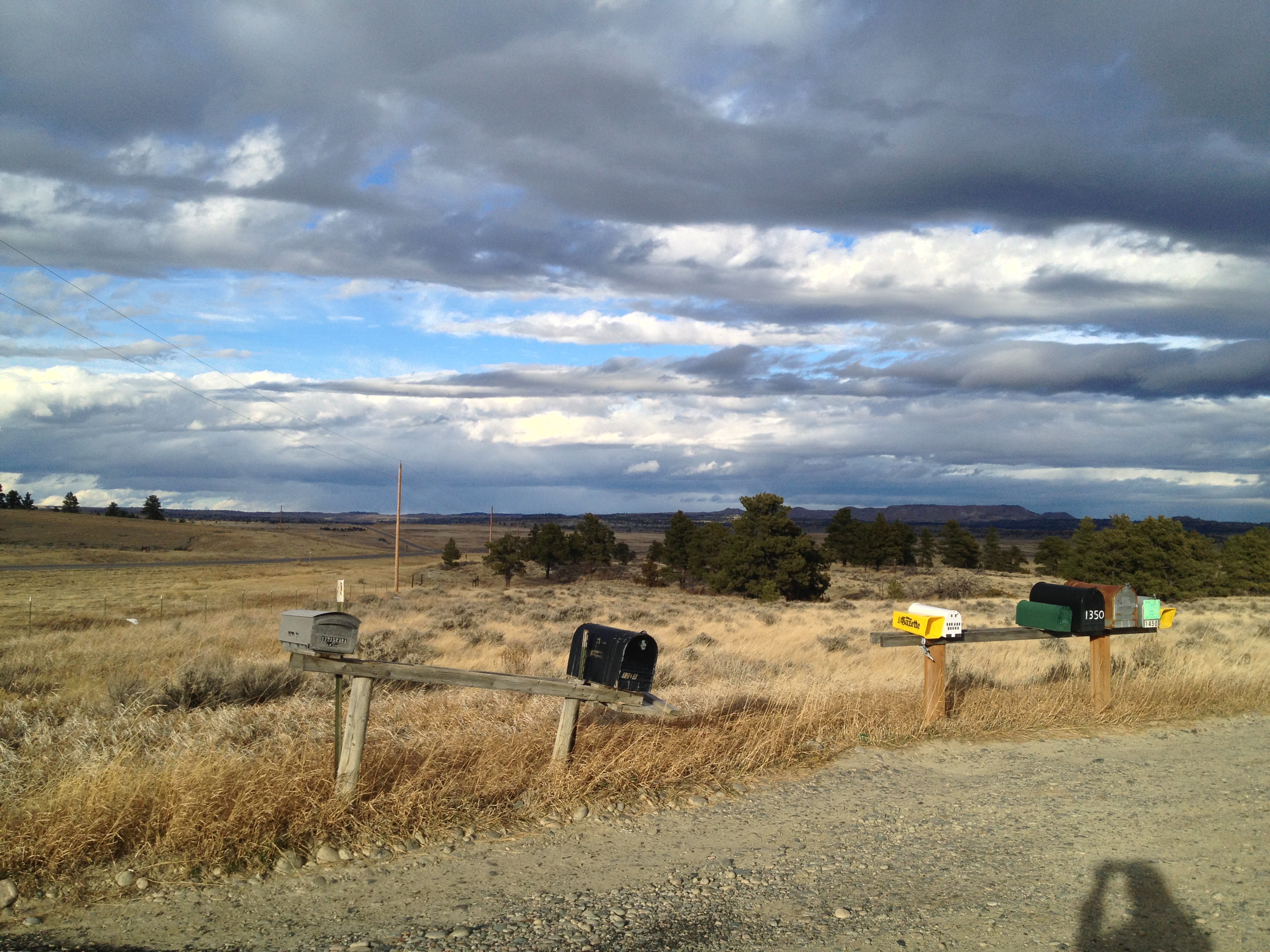
Somewhere Near Shepherd, MT 7

140719-01 (2014-07-21) - 0208

PhonePics 406

PhonePics 405
PhonePics 402
Topographic Map of Pleasant Hollow Trail, Shepherd, MT, USA
Find elevation by address:

Places near Pleasant Hollow Trail, Shepherd, MT, USA:
Shepherd
Huntley
1345 P K Rd
Billings, MT, USA
Billings Heights
28 Jubilee St
Heights
42 Almadin Ln
1266 Grubstake Cir
347 Westchester Square N
Yellowstone County
Tabriz Drive
Billings
100 Portal Dr
2511 1st Ave N
3401 Coburn Rd
547 Garden Ave
543 Yellowstone Ave
Thousand Oaks Street
Central - Terry
Recent Searches:
- Elevation of Congressional Dr, Stevensville, MD, USA
- Elevation of Bellview Rd, McLean, VA, USA
- Elevation of Stage Island Rd, Chatham, MA, USA
- Elevation of Shibuya Scramble Crossing, 21 Udagawacho, Shibuya City, Tokyo -, Japan
- Elevation of Jadagoniai, Kaunas District Municipality, Lithuania
- Elevation of Pagonija rock, Kranto 7-oji g. 8"N, Kaunas, Lithuania
- Elevation of Co Rd 87, Jamestown, CO, USA
- Elevation of Tenjo, Cundinamarca, Colombia
- Elevation of Côte-des-Neiges, Montreal, QC H4A 3J6, Canada
- Elevation of Bobcat Dr, Helena, MT, USA