Elevation of Calamine Rd, Smithville, AR, USA
Location: United States > Arkansas > Sharp County > Big Creek Township >
Longitude: -91.397718
Latitude: 36.010761
Elevation: 103m / 338feet
Barometric Pressure: 100KPa
Elevation Map:
Satellite Map:
Related Photos:
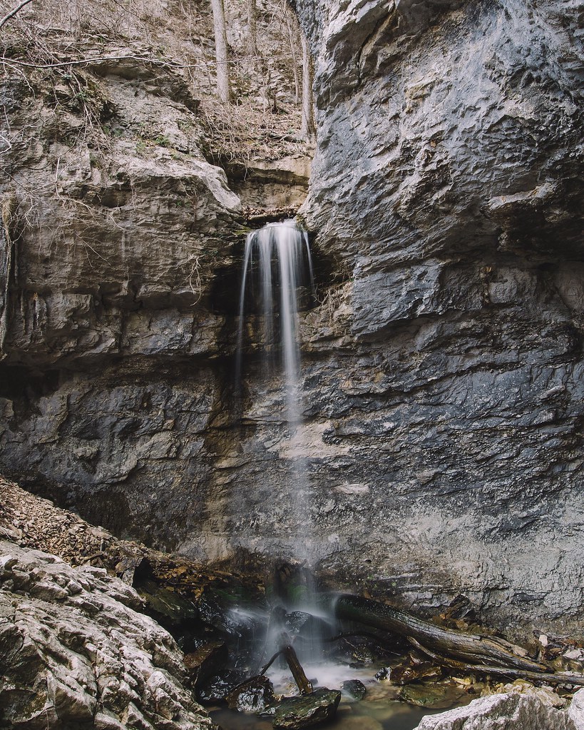
24' Lower Armadillo Falls, Lost Valley State Park, Arkansas

Chilling at Adam's house!
Scratching at the surface Pushing up the sternum Lesser sounds of man Murky hapless truths Overwhelm the quiet Voice Screaming for an ear Searching for a heart The Comforter left alone and cold Standing in the alley Pointing pilgrims home Toward a promis
Topographic Map of Calamine Rd, Smithville, AR, USA
Find elevation by address:

Places near Calamine Rd, Smithville, AR, USA:
26 S Main St, Strawberry, AR, USA
Strawberry
Smithville
Reeds Creek Township
28 AR-25, Lynn, AR, USA
Lynn
State Hwy, Strawberry, AR, USA
Morgan Township
Cord Rd, Cord, AR, USA
Black River-marshell Township
Cord
AR-, Imboden, AR, USA
Annieville
Annieville Township
291 Lone Oak Rd
Jackson Township
Campbell Road
257 Lawrence Rd 201
East Main
Lawrence Road 261
Recent Searches:
- Elevation of 6 Rue Jules Ferry, Beausoleil, France
- Elevation of Sattva Horizon, 4JC6+G9P, Vinayak Nagar, Kattigenahalli, Bengaluru, Karnataka, India
- Elevation of Great Brook Sports, Gold Star Hwy, Groton, CT, USA
- Elevation of 10 Mountain Laurels Dr, Nashua, NH, USA
- Elevation of 16 Gilboa Ln, Nashua, NH, USA
- Elevation of Laurel Rd, Townsend, TN, USA
- Elevation of 3 Nestling Wood Dr, Long Valley, NJ, USA
- Elevation of Ilungu, Tanzania
- Elevation of Yellow Springs Road, Yellow Springs Rd, Chester Springs, PA, USA
- Elevation of Rēzekne Municipality, Latvia