Elevation of Cord Rd, Cord, AR, USA
Location: United States > Arkansas > Independence County > Black River-marshell Township > Cord >
Longitude: -91.303341
Latitude: 35.84924
Elevation: 93m / 305feet
Barometric Pressure: 100KPa
Elevation Map:
Satellite Map:
Related Photos:
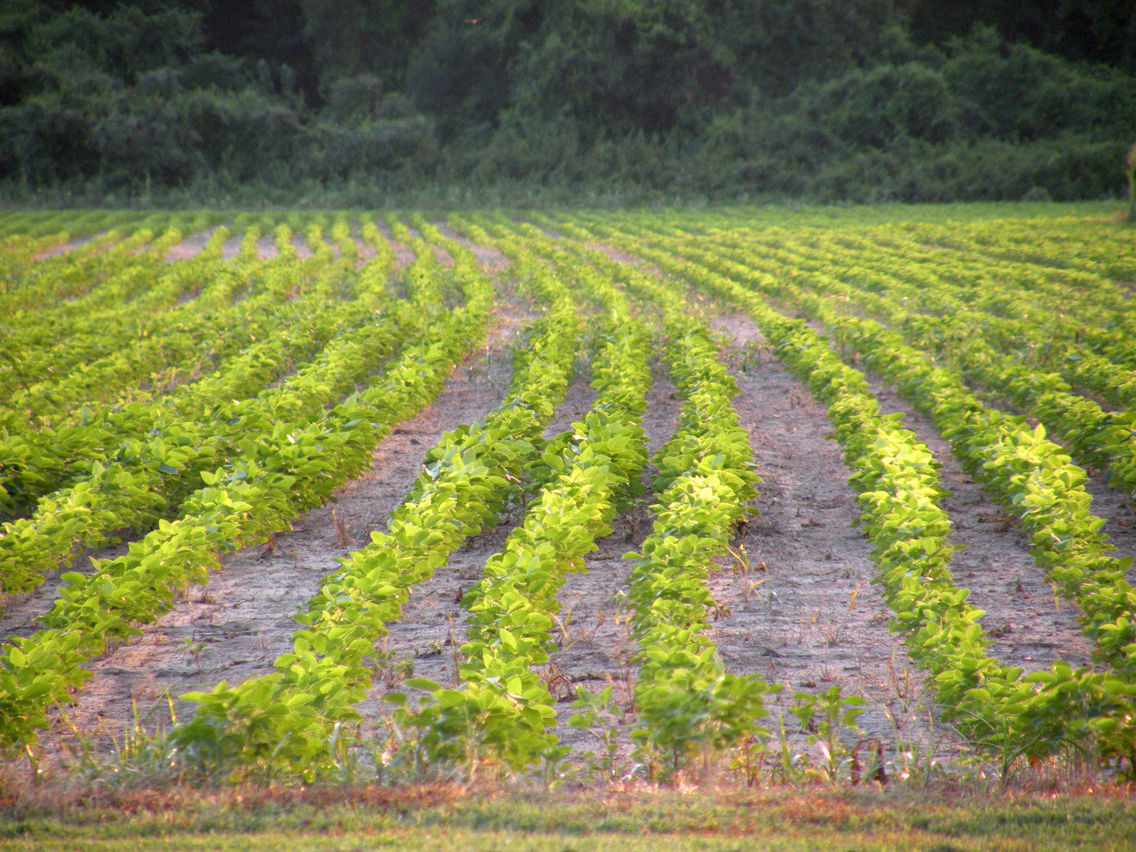
Tuckerman Fields
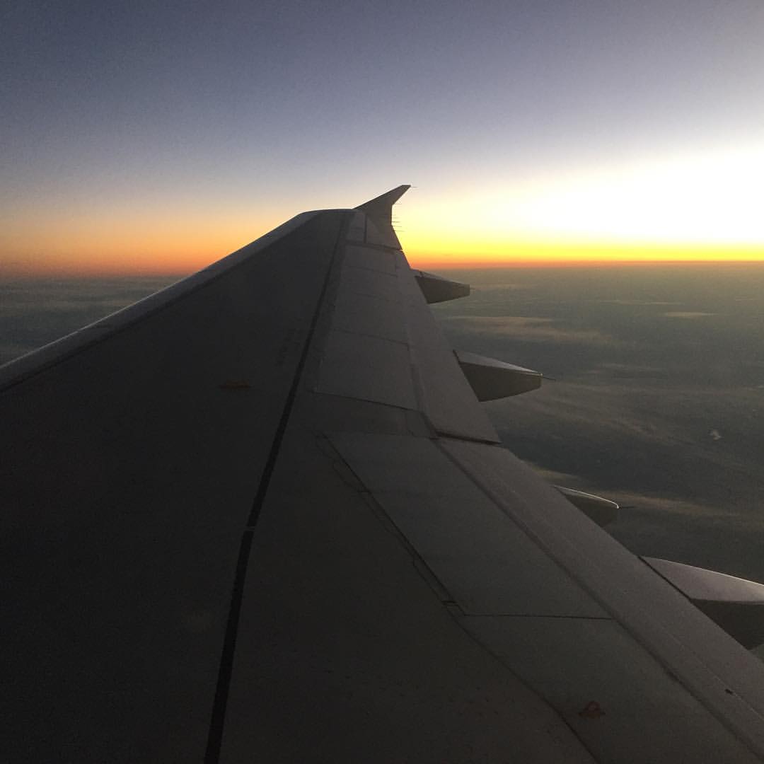
Sunset over Arkansas on way home. Guy in front of us has talked non-stop for three hours. Thankful for earbuds and playlists. #drownoutthenoise #airtravelsucks #headinghome

Storms Building
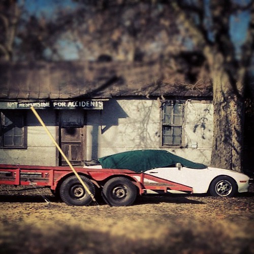
Not responsible for accidents, ya dig?
Topographic Map of Cord Rd, Cord, AR, USA
Find elevation by address:

Places near Cord Rd, Cord, AR, USA:
Black River-marshell Township
Cord
Reeds Creek Township
Jackson Cty Rd 69, Tuckerman, AR, USA
26 S Main St, Strawberry, AR, USA
Strawberry
State Hwy, Strawberry, AR, USA
Bird Township
Morgan Township
88 Yelverton
Tuckerman
AR-, Newport, AR, USA
28 AR-25, Lynn, AR, USA
Lynn
Jefferson Township
Swifton
Ashley Ave, Swifton, AR, USA
Calamine Rd, Smithville, AR, USA
Glass Township
Campbell Station
Recent Searches:
- Elevation of Corso Fratelli Cairoli, 35, Macerata MC, Italy
- Elevation of Tallevast Rd, Sarasota, FL, USA
- Elevation of 4th St E, Sonoma, CA, USA
- Elevation of Black Hollow Rd, Pennsdale, PA, USA
- Elevation of Oakland Ave, Williamsport, PA, USA
- Elevation of Pedrógão Grande, Portugal
- Elevation of Klee Dr, Martinsburg, WV, USA
- Elevation of Via Roma, Pieranica CR, Italy
- Elevation of Tavkvetili Mountain, Georgia
- Elevation of Hartfords Bluff Cir, Mt Pleasant, SC, USA