Elevation of Calais Ln, Georgetown, SC, USA
Location: United States > South Carolina > Georgetown County > Georgetown >
Longitude: -79.175471
Latitude: 33.3773556
Elevation: 5m / 16feet
Barometric Pressure: 101KPa
Elevation Map:
Satellite Map:
Related Photos:
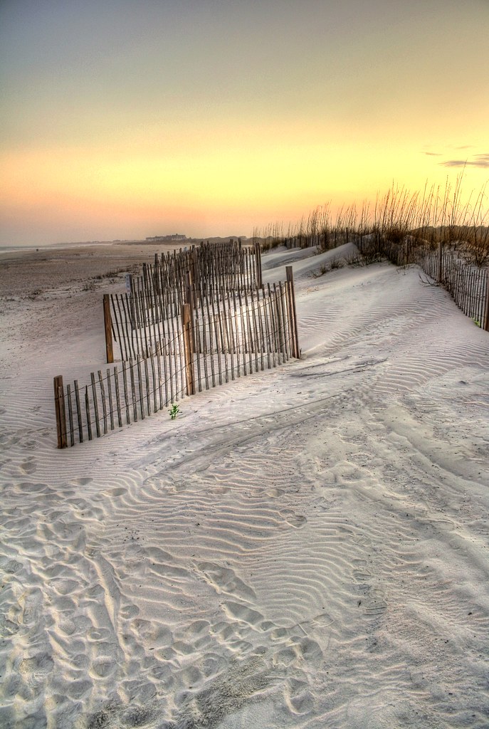
sand trap

View-A-20_Sarver_NIWBNERR
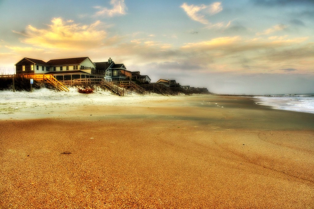
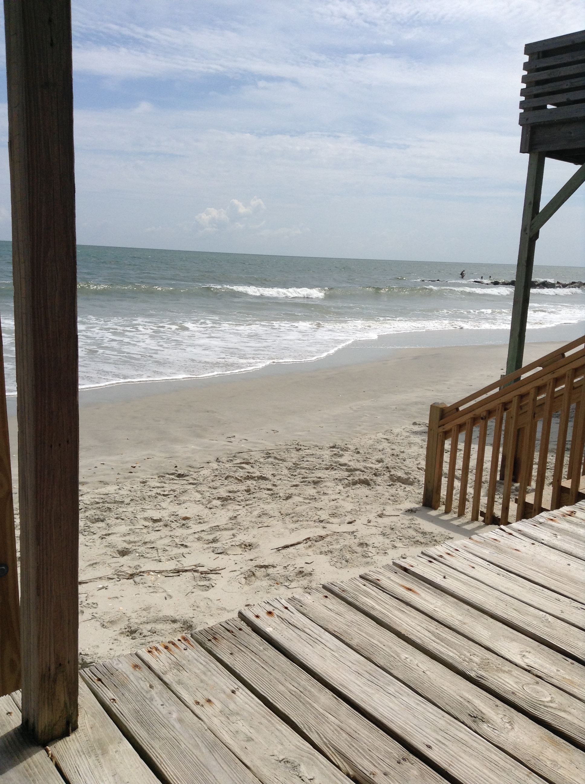
beachfront property
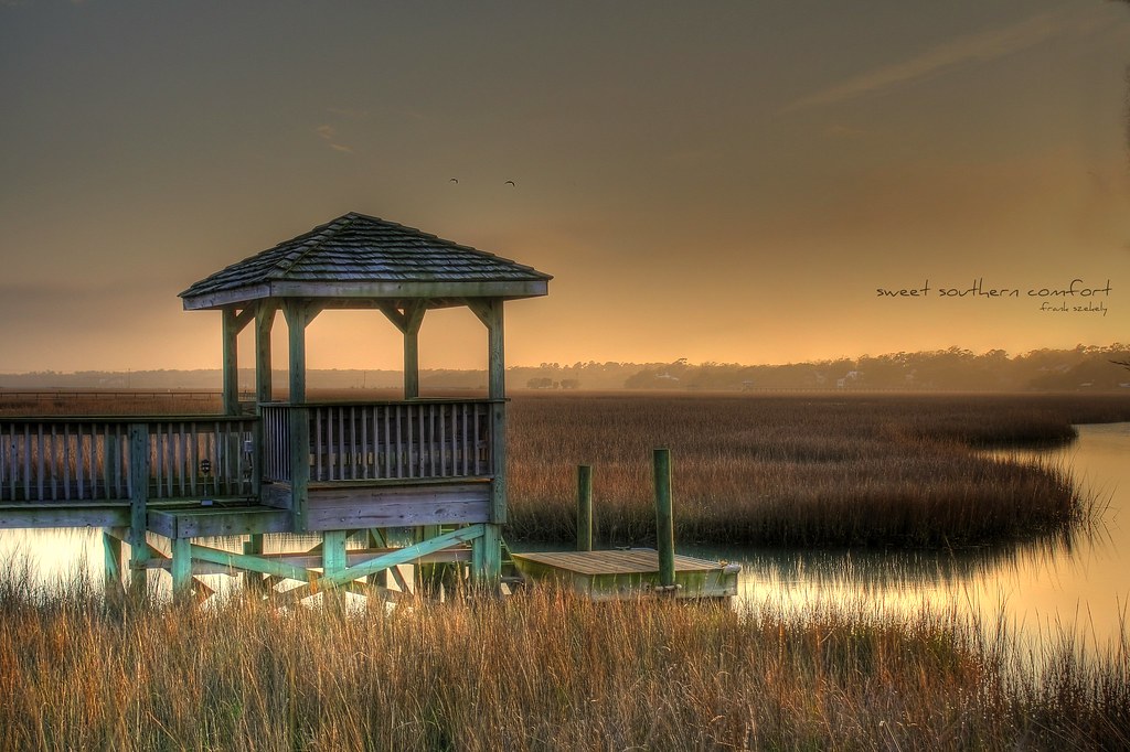
sweet southern comfort

Sowing is not as Difficult as Reaping
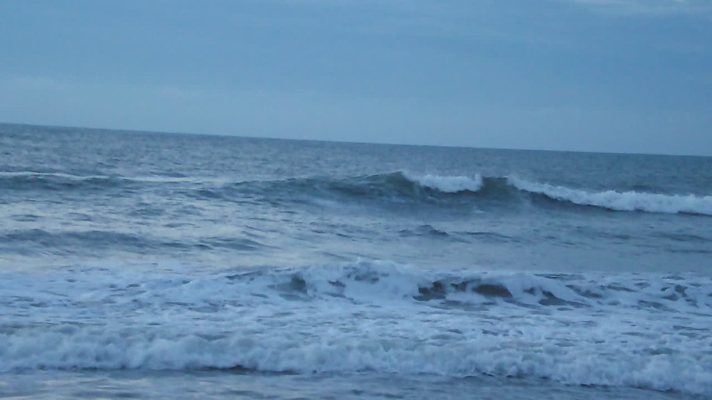
Video of Early morning beach waves and birds
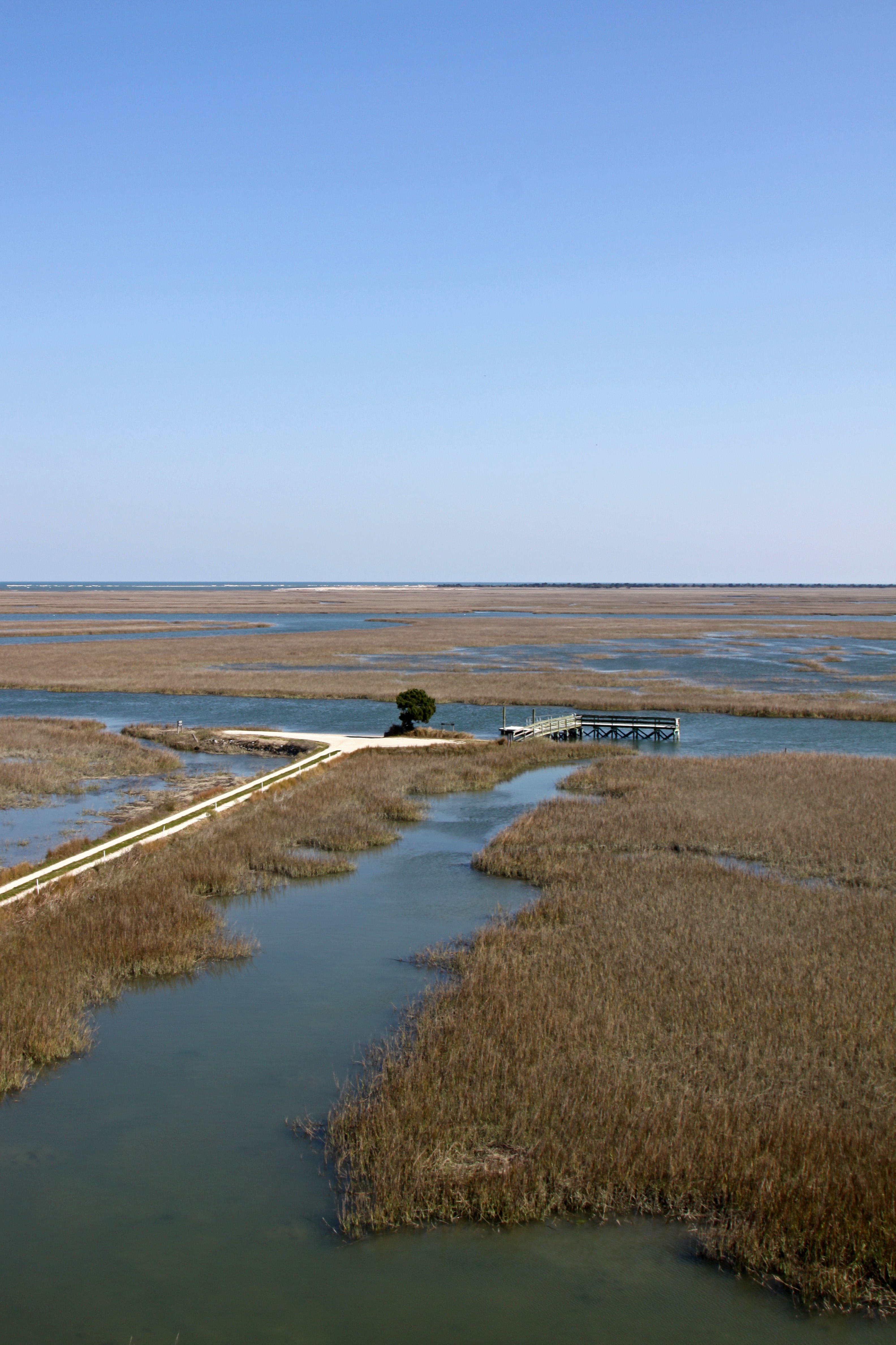
Tower View

Who put these here?
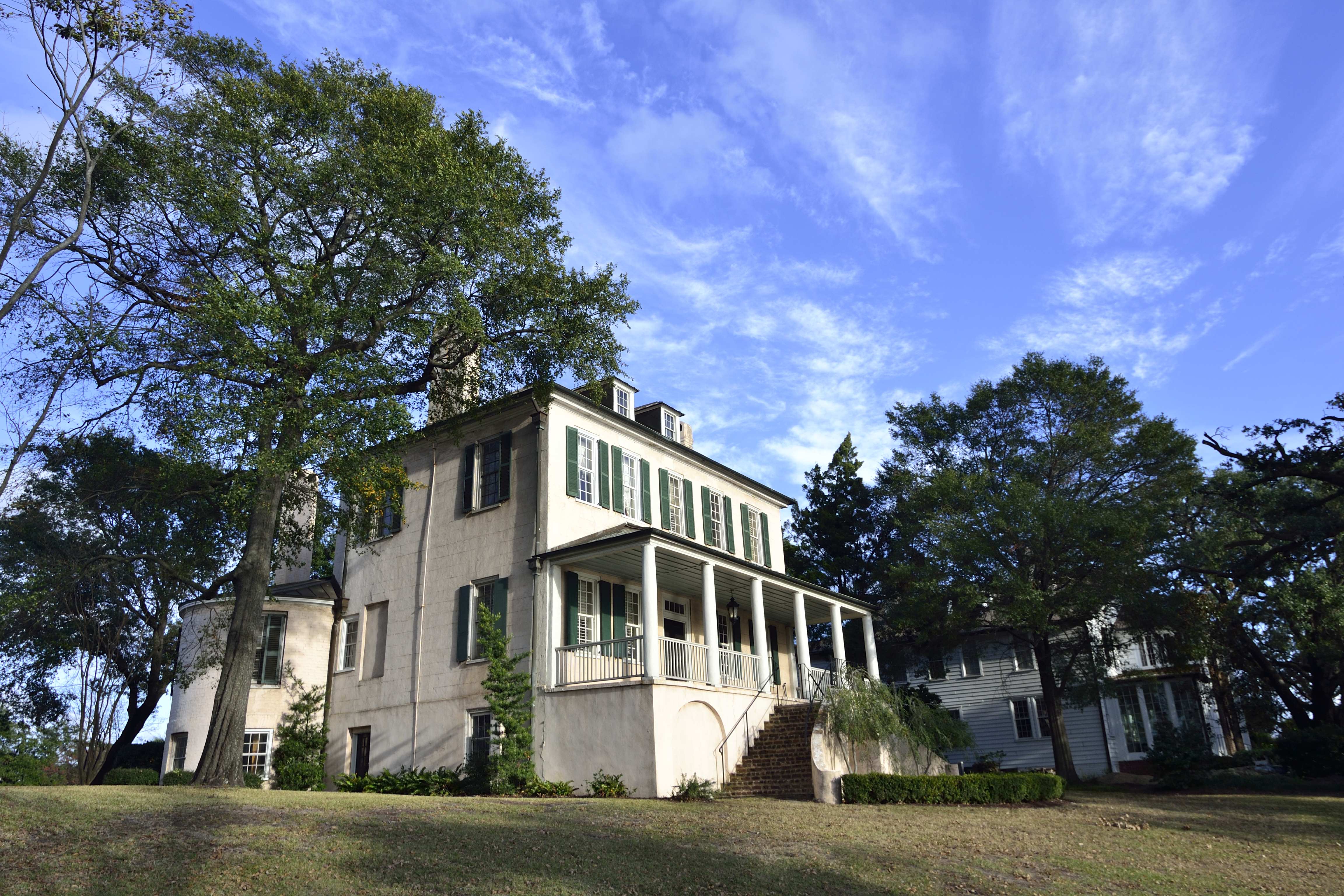
Kaminski House
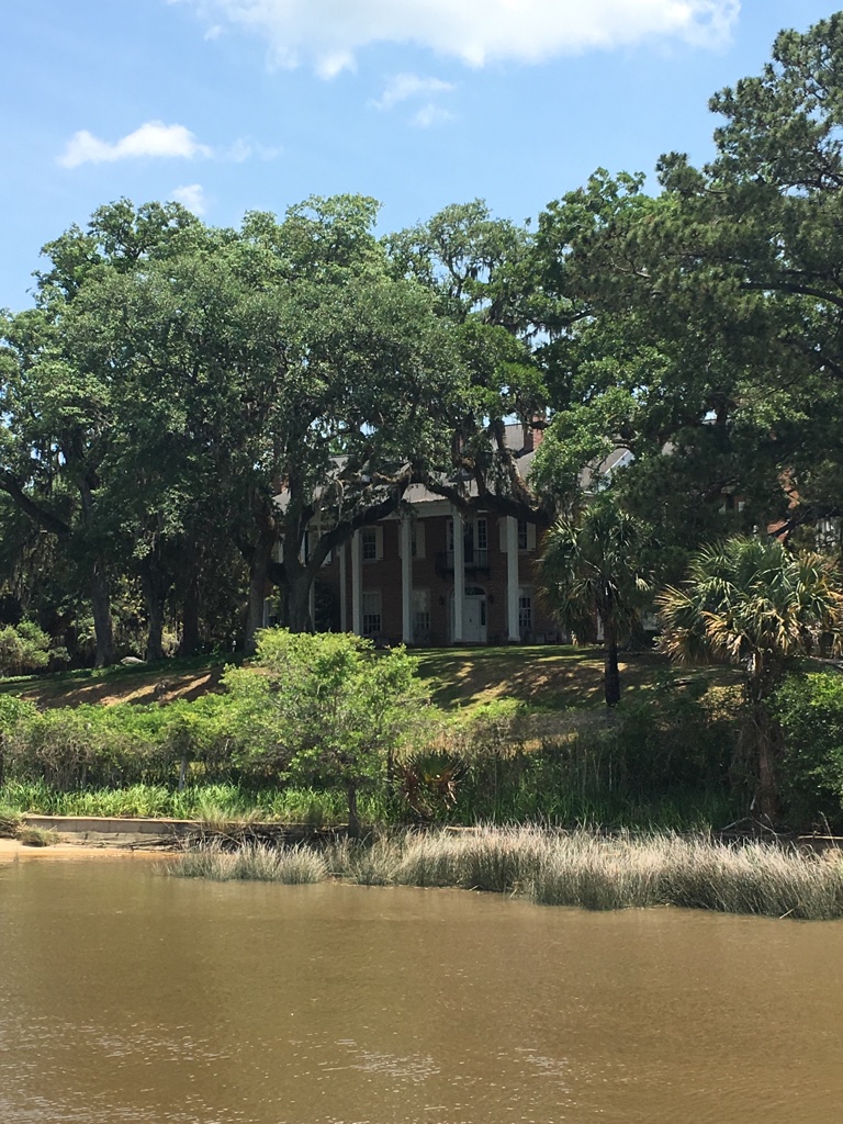
View of House from dock
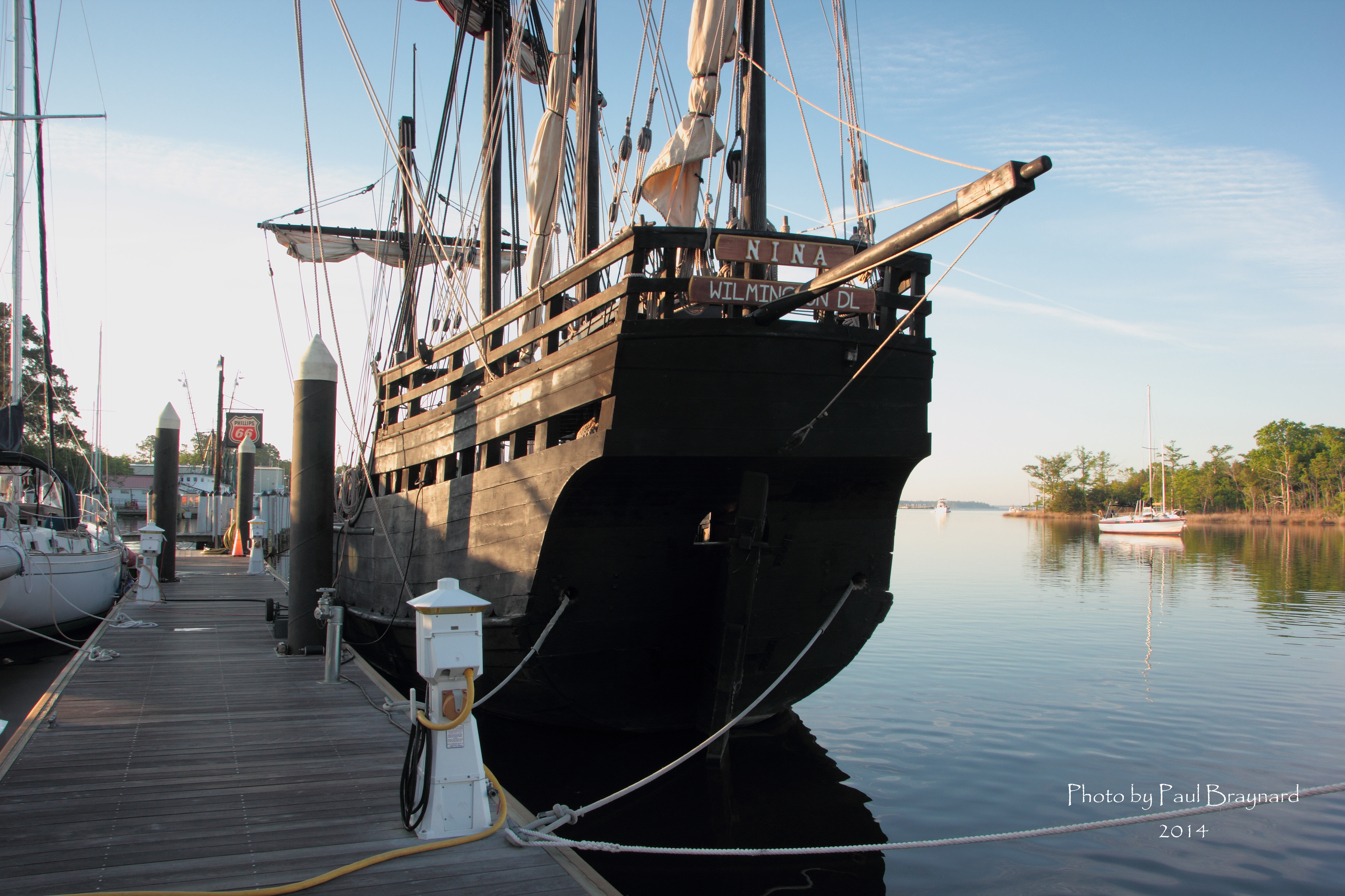
Nina Reproduction - Stern View
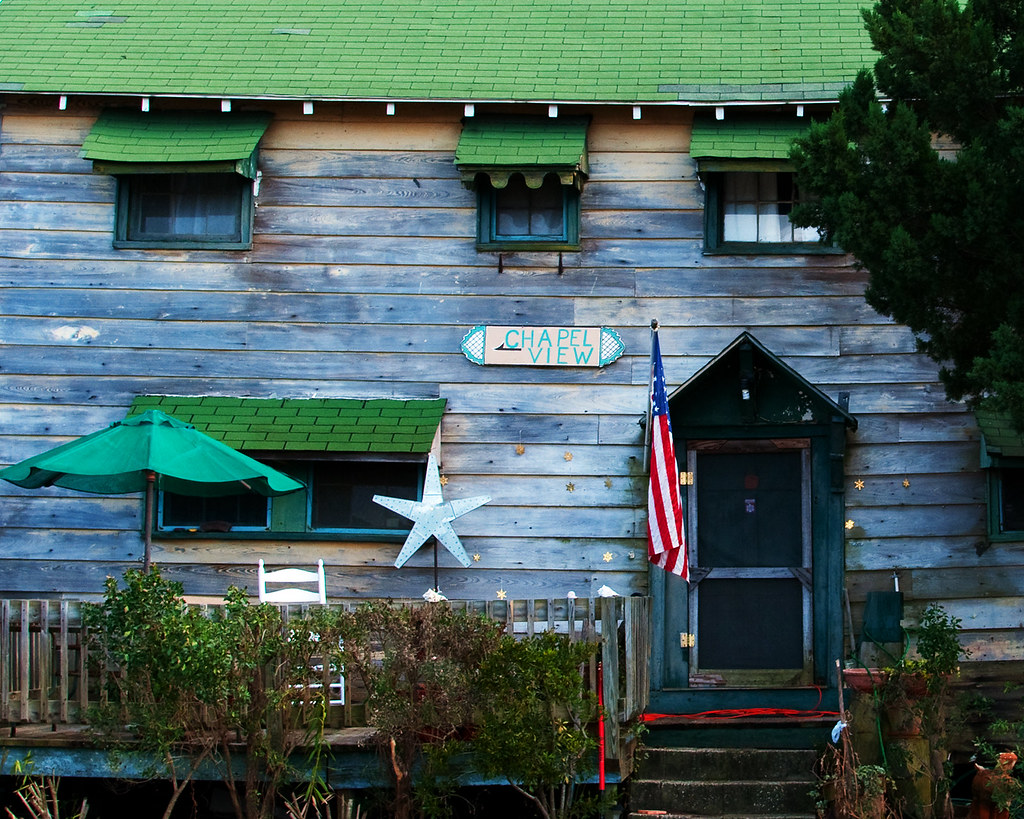
Chapel View
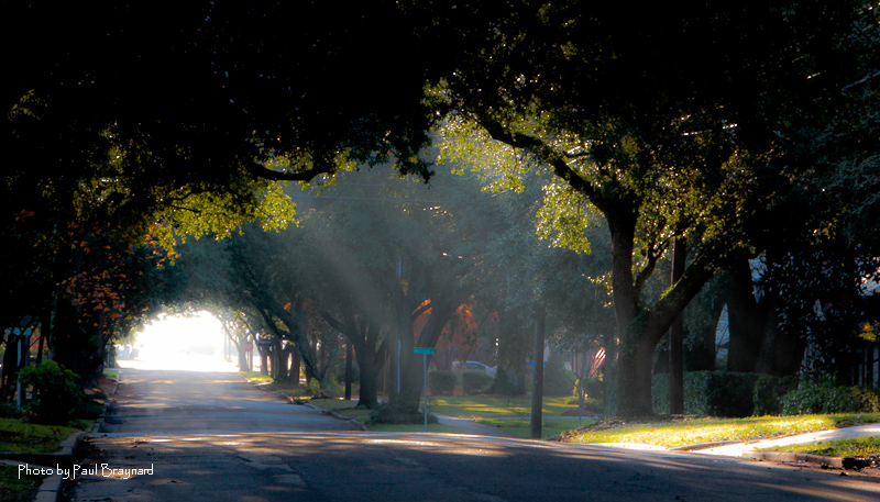
Sunrise on Meeting Street
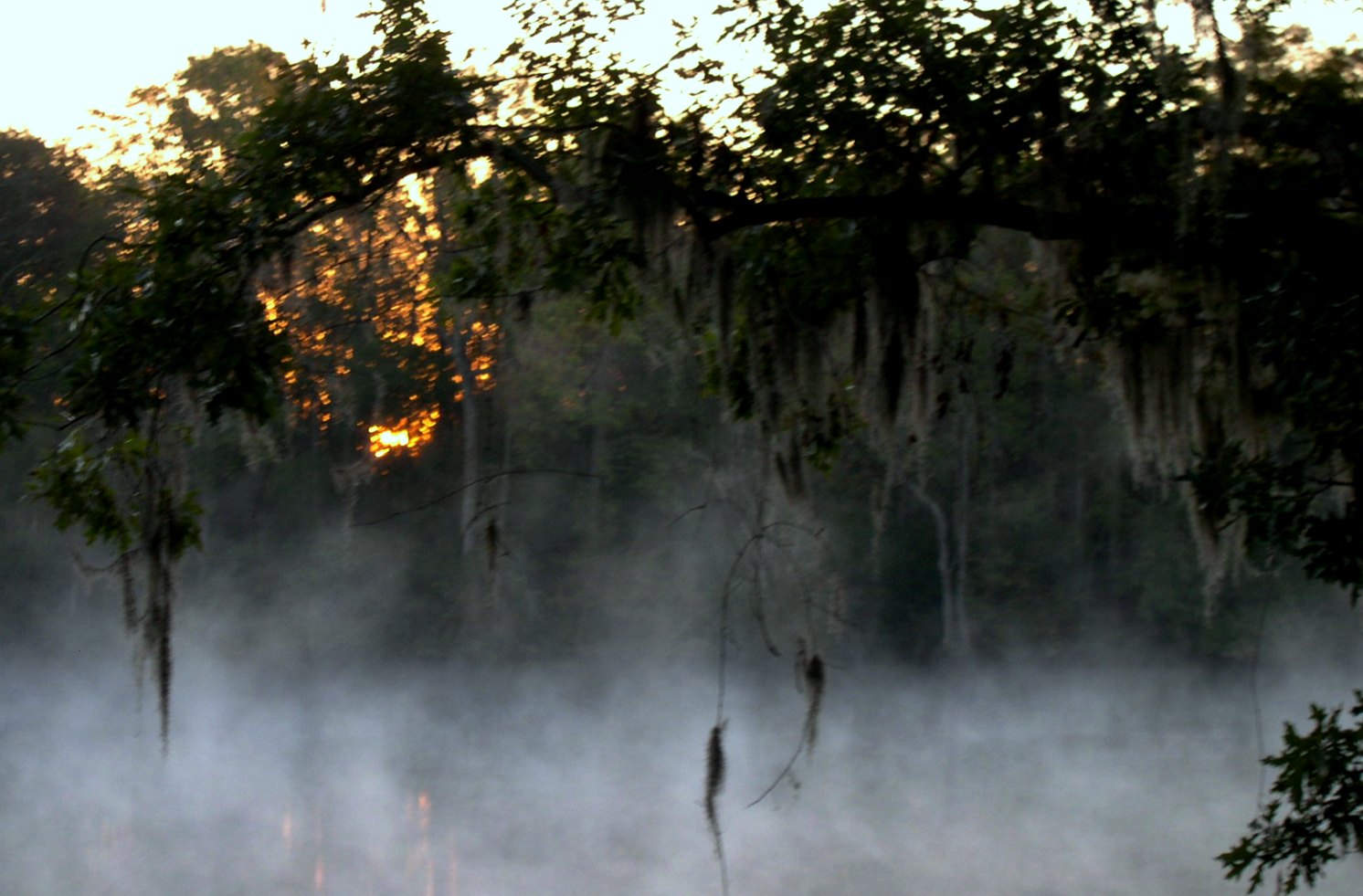
morning fog

Epic view from the bridge

Sunrise at Pawley's Island
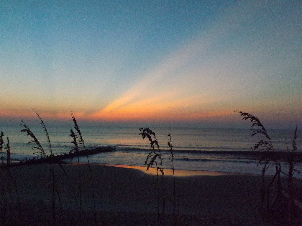
Sunrise Pawley's Island
pawleys island 1986 - port arthur long view
Willbrook Plantation GC, Myrtle Beach No 15 pond 2
I've had worse hotel views.

2013.09.26 95K Views
Atlantic Dawn
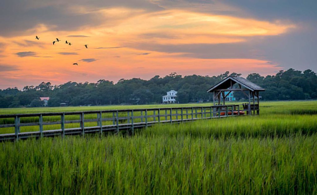
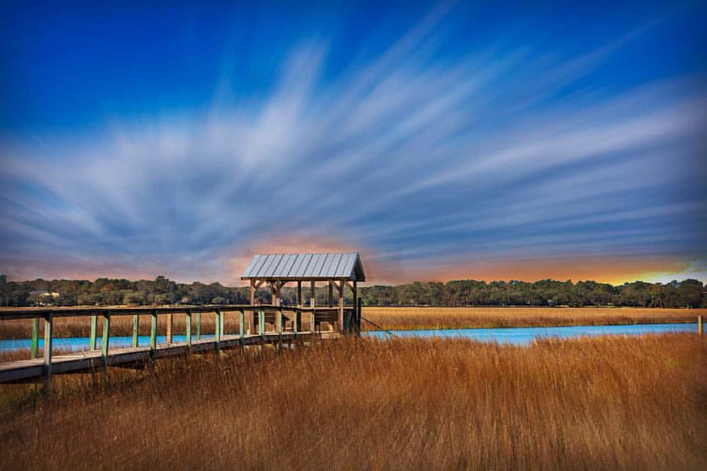
Pawleys Marsh
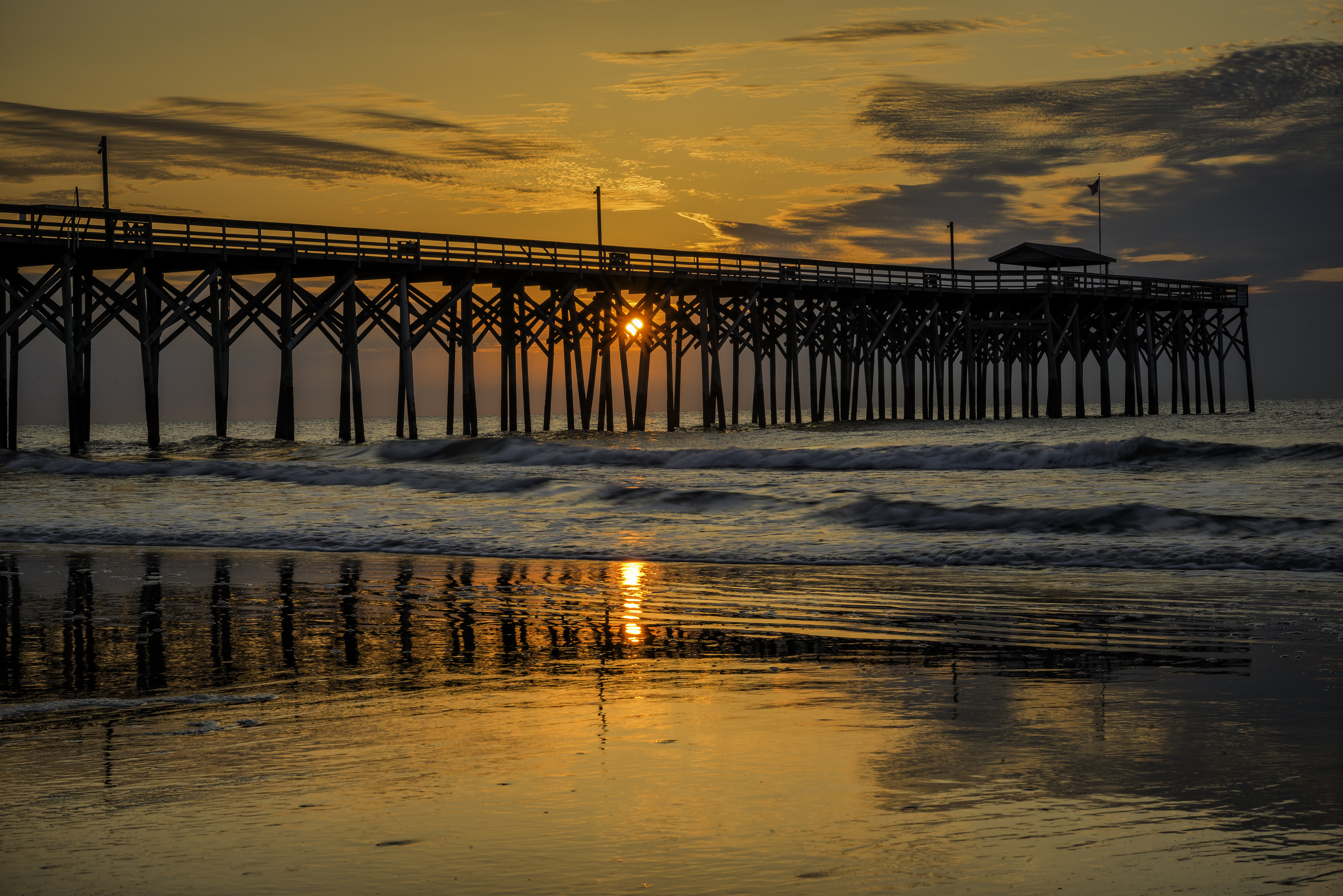
Pawley's Island Pier (South Carolina)

"Infrared capture" #ir #infrared #infraredphotography
letting go of summer

morning marsh

thru the rails
God's painting again! ????@Cjpix . @sunset_stream @sunset_madness @sunset_stream @ig_shotz_sunset @bestshotz_sunset @tgif_sunset @sunsets_oftheworld #tbt #follow #follow4follow #picoft
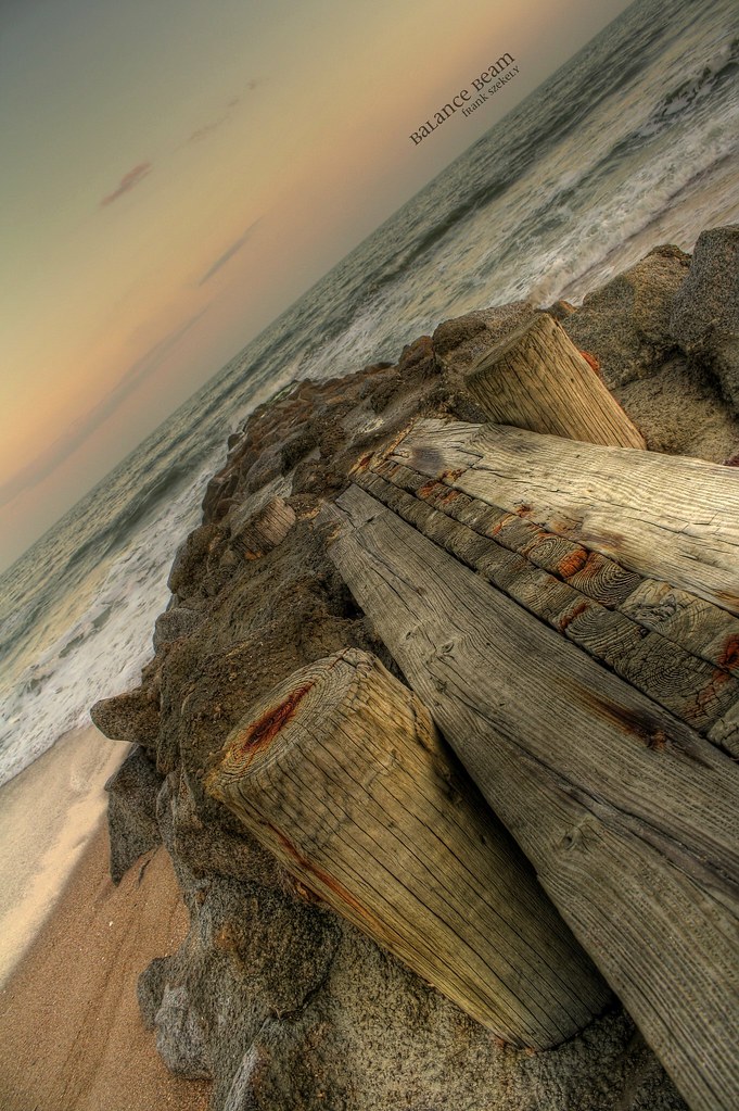
balance beam
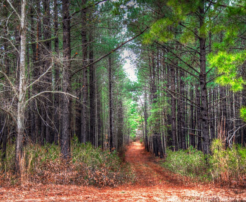
In to the woods

Pawleys Beach Looking South

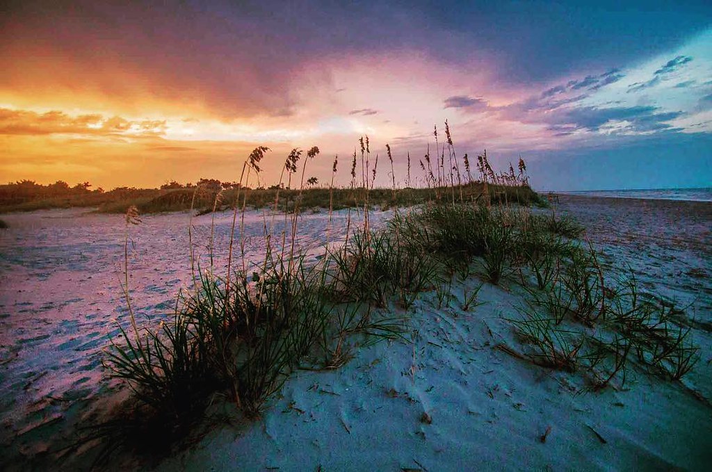
Panicum amarum (Bitter seabeach grass)
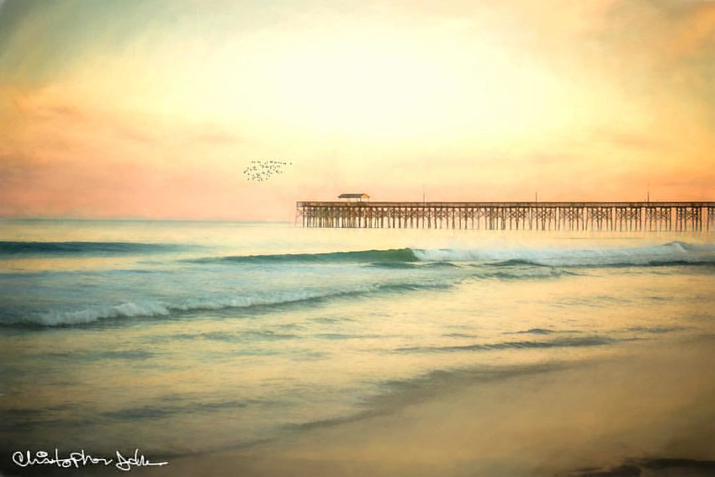
Pawleys pier
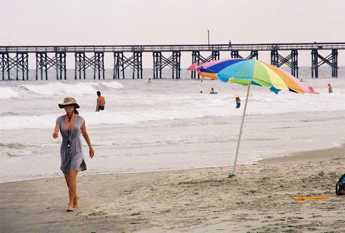
umbrella day
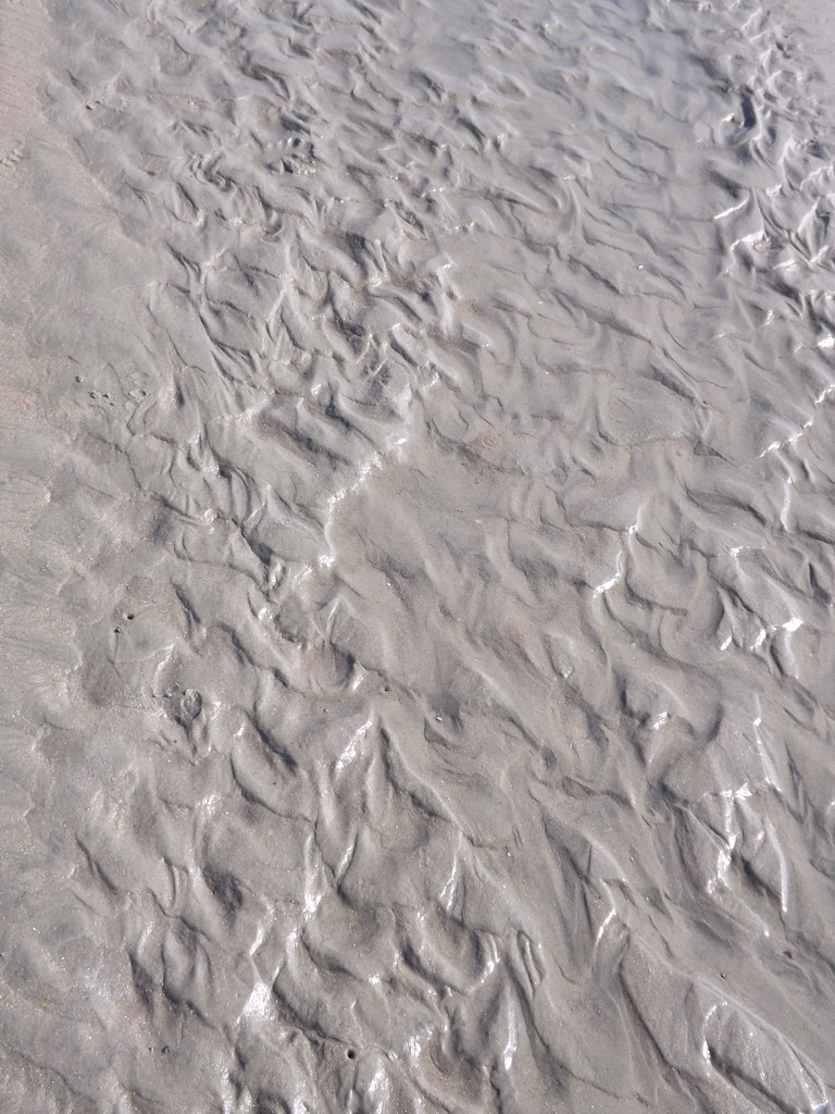
Water/sand sculpture
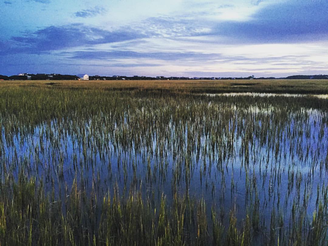
Marshland at #sunset gives off smooth reflections in the water and sense of peacefulness. #explore #exploremore #rei #rei1440project #rootsrated #TAC_Adventure #TAC_Exploring #instagood #outside #outdoors #OutdoorsUSA #pawley #pawleys #pawleysisland #myla
2014-09-02 13.40.59
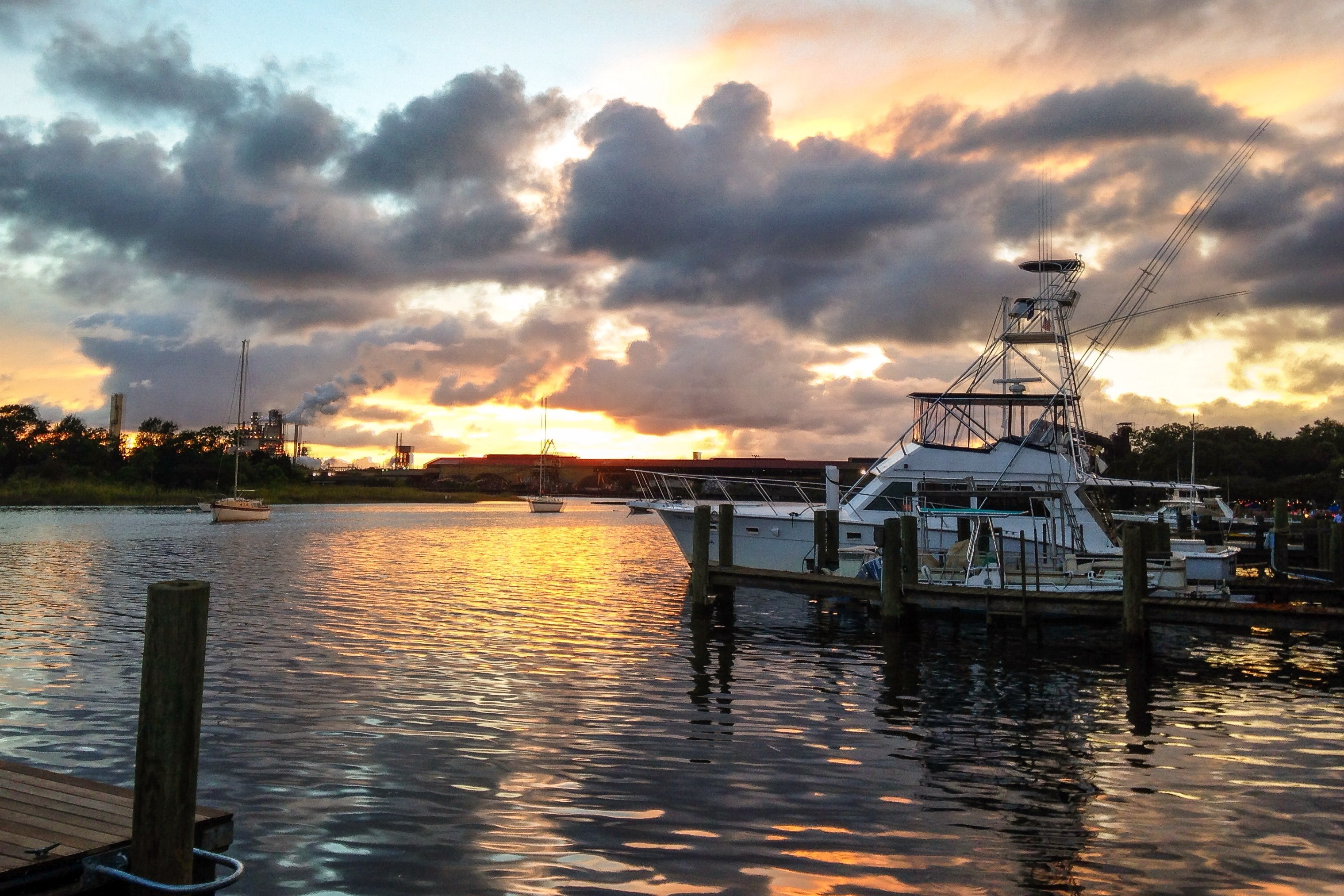
iPhone - Georgetown Waterfront Sunset HDR
Pawleys Island perfect
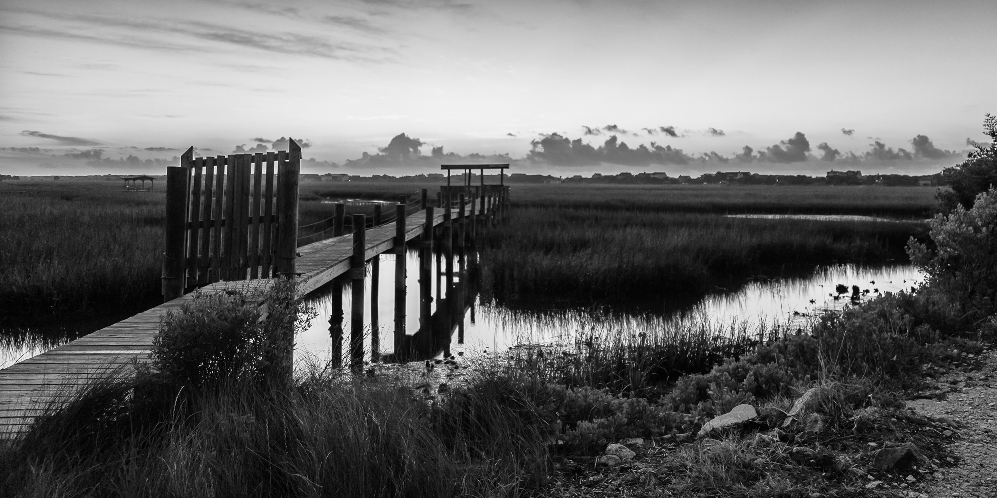
marsh bw
Topographic Map of Calais Ln, Georgetown, SC, USA
Find elevation by address:

Places near Calais Ln, Georgetown, SC, USA:
210 Calais Ln
1156 Wallace Pate Dr
Colony Club Drive
Colony Club Drive
Colony Club Drive
81 Luvan Blvd
452 Colony Club Dr
358 Lantana Cir
673 Collins Meadow Dr
68 Wallace Pate Dr
68 Wallace Pate Dr
60 Seawind Ct
22 Seawind Ct, Georgetown, SC, USA
Debidue Island
420 Ocean Green Dr
380 Ocean Green Dr
354 Ocean Green Dr
344 Ocean Green Dr
340 Ocean Green Dr
304 Ocean Green Dr
Recent Searches:
- Elevation of Elwyn Dr, Roanoke Rapids, NC, USA
- Elevation of Congressional Dr, Stevensville, MD, USA
- Elevation of Bellview Rd, McLean, VA, USA
- Elevation of Stage Island Rd, Chatham, MA, USA
- Elevation of Shibuya Scramble Crossing, 21 Udagawacho, Shibuya City, Tokyo -, Japan
- Elevation of Jadagoniai, Kaunas District Municipality, Lithuania
- Elevation of Pagonija rock, Kranto 7-oji g. 8"N, Kaunas, Lithuania
- Elevation of Co Rd 87, Jamestown, CO, USA
- Elevation of Tenjo, Cundinamarca, Colombia
- Elevation of Côte-des-Neiges, Montreal, QC H4A 3J6, Canada