Elevation of 68 Wallace Pate Dr, Georgetown, SC, USA
Location: United States > South Carolina > Georgetown County > Georgetown >
Longitude: -79.180866
Latitude: 33.366211
Elevation: 2m / 7feet
Barometric Pressure: 101KPa
Elevation Map:
Satellite Map:
Related Photos:
sand trap

View-A-20_Sarver_NIWBNERR
Decisions, Decisions

Video of waves and sun rising
sweet southern comfort

Sunrise at Pawley's Island
Sunrise Pawley's Island
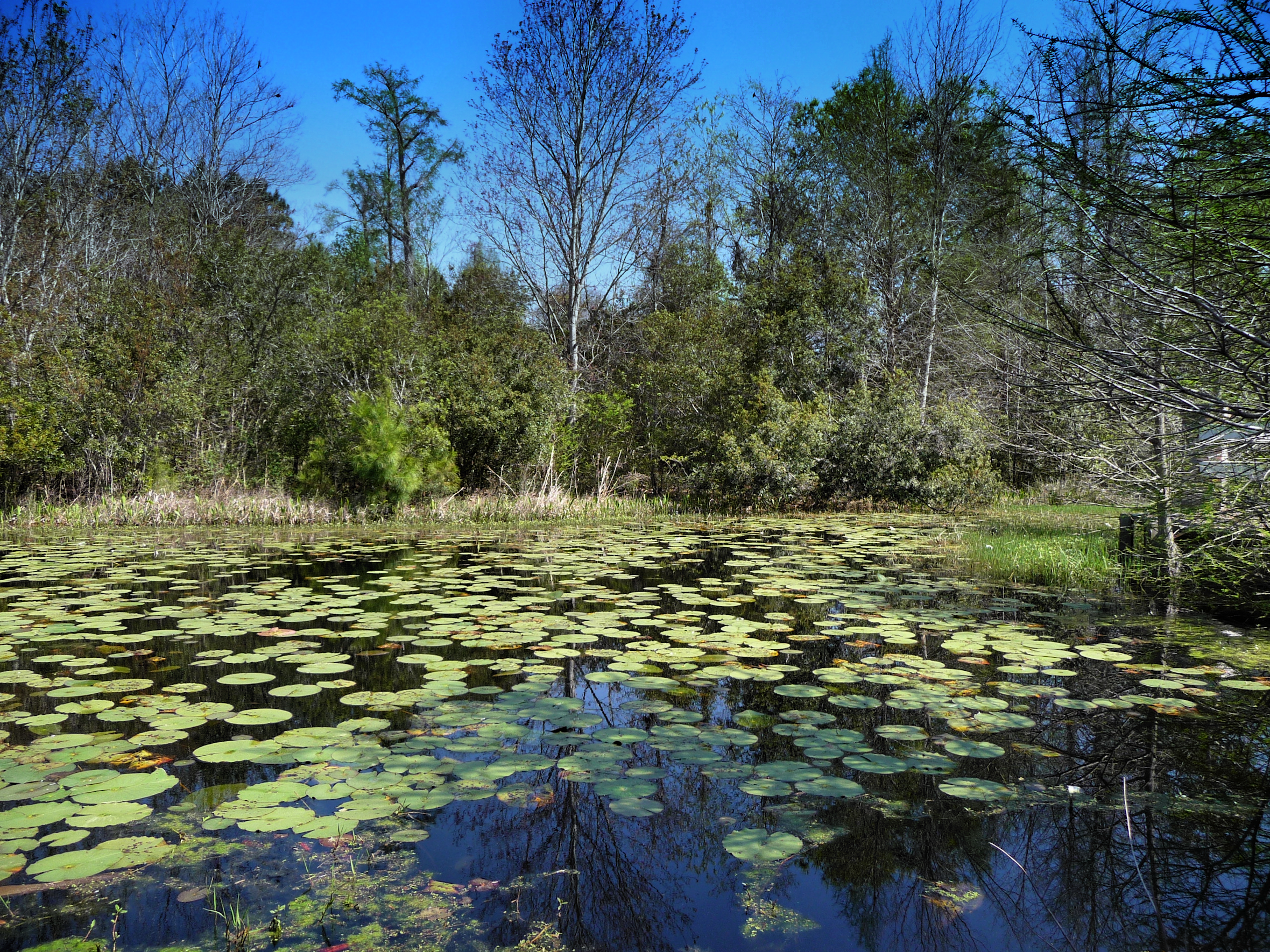
Willbrook Plantation GC, Myrtle Beach No 15 pond 2

2013.09.26 95K Views

Sowing is not as Difficult as Reaping

Flowers 1 of 2
21SEP11: Caledonia marsh
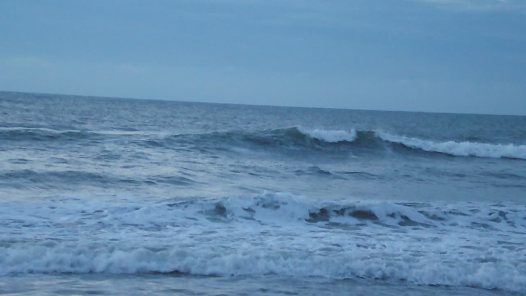
Video of Early morning beach waves and birds
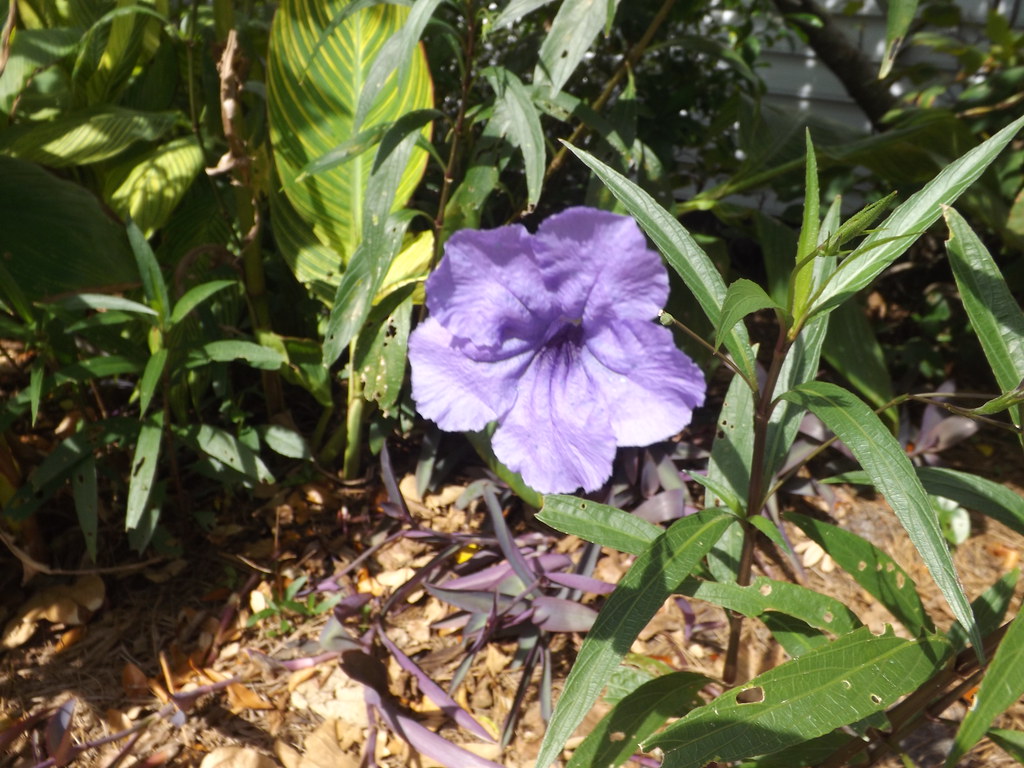
Flowers 2 of 2
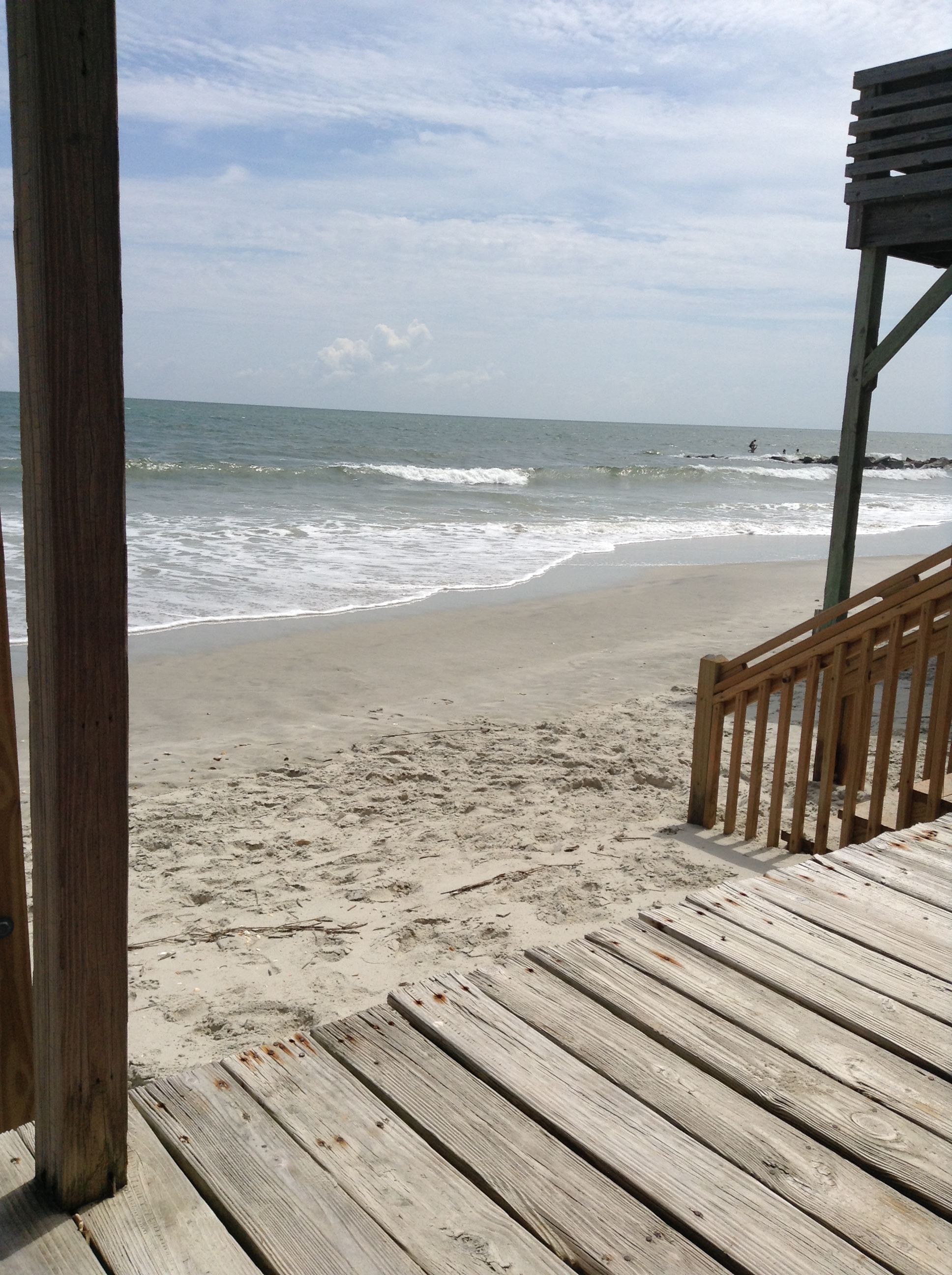
View from the loveseat
South Island, view north
Hasty Point morning sky
superdune, North Island
South Island, view south
My kickstand broke--SHUCKS!
Caledonia Clubhouse
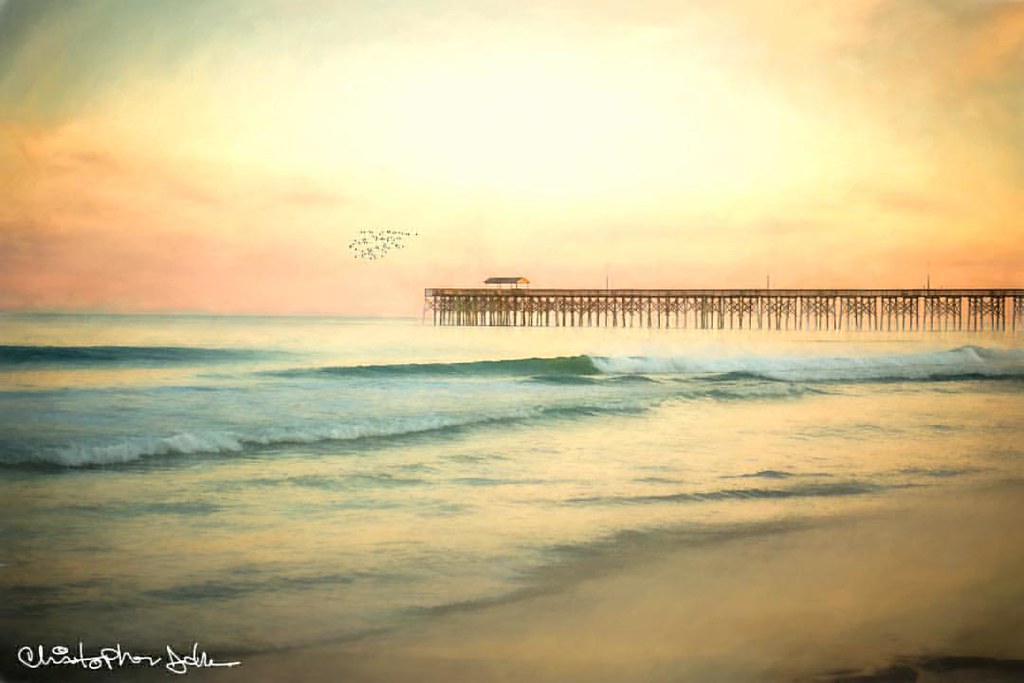
Pawley's Island Pier (South Carolina)
Pawleys pier

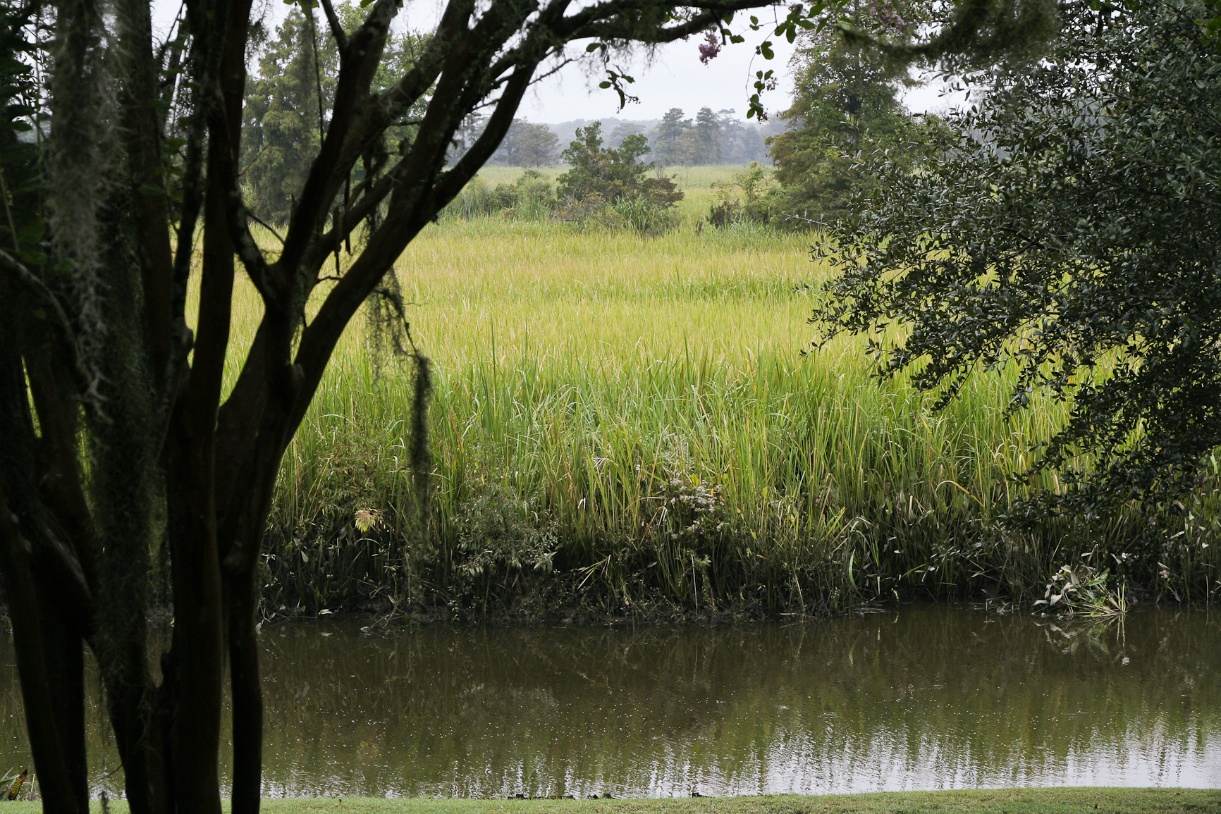
morning marsh
2014-09-02 13.40.59
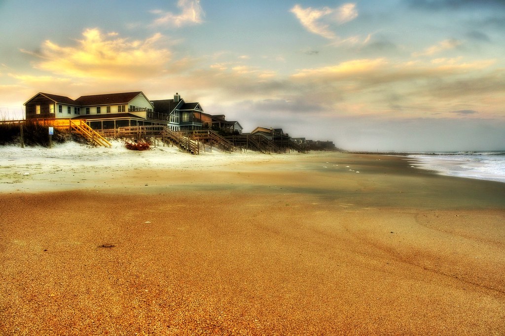
beachfront property

Pawleys Beach Looking South

Panicum amarum (Bitter seabeach grass)
Water/sand sculpture
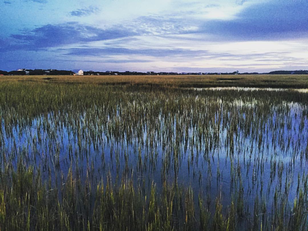
Marshland at #sunset gives off smooth reflections in the water and sense of peacefulness. #explore #exploremore #rei #rei1440project #rootsrated #TAC_Adventure #TAC_Exploring #instagood #outside #outdoors #OutdoorsUSA #pawley #pawleys #pawleysisland #myla
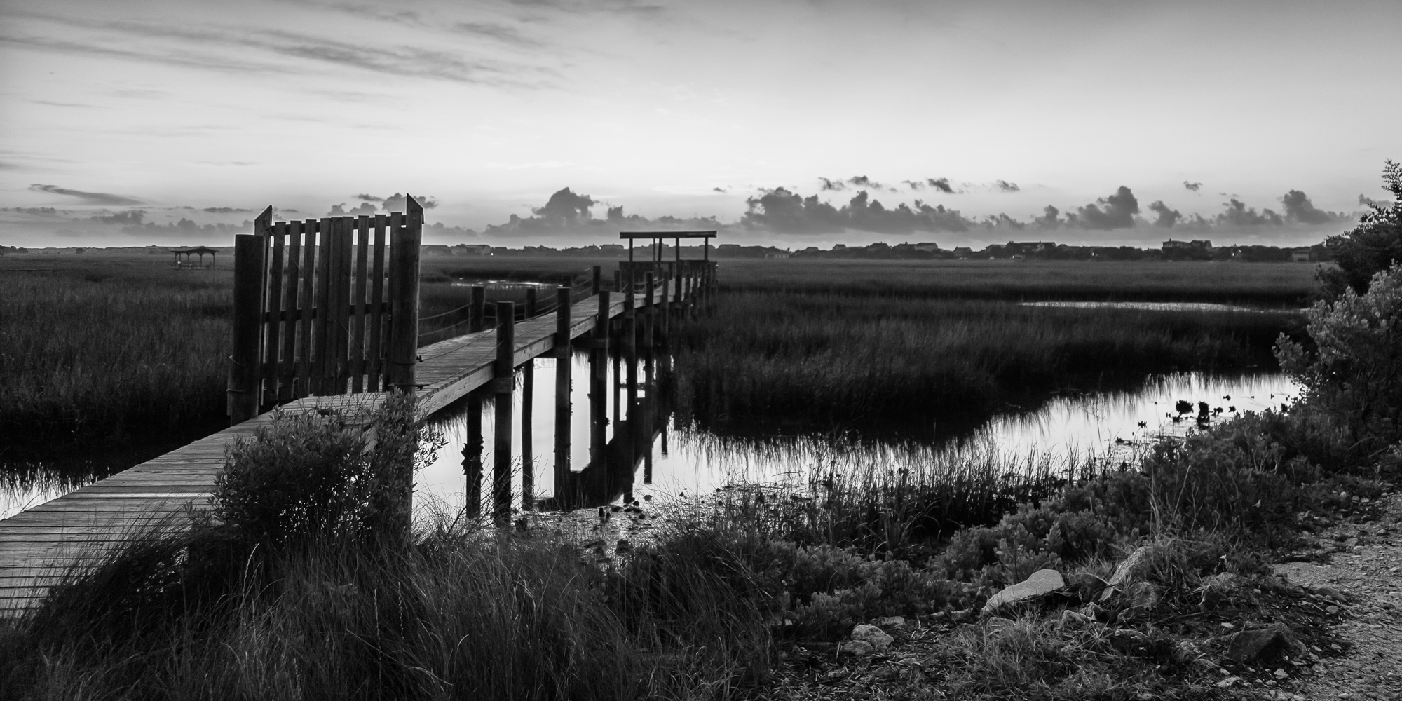
marsh bw

thru the rails
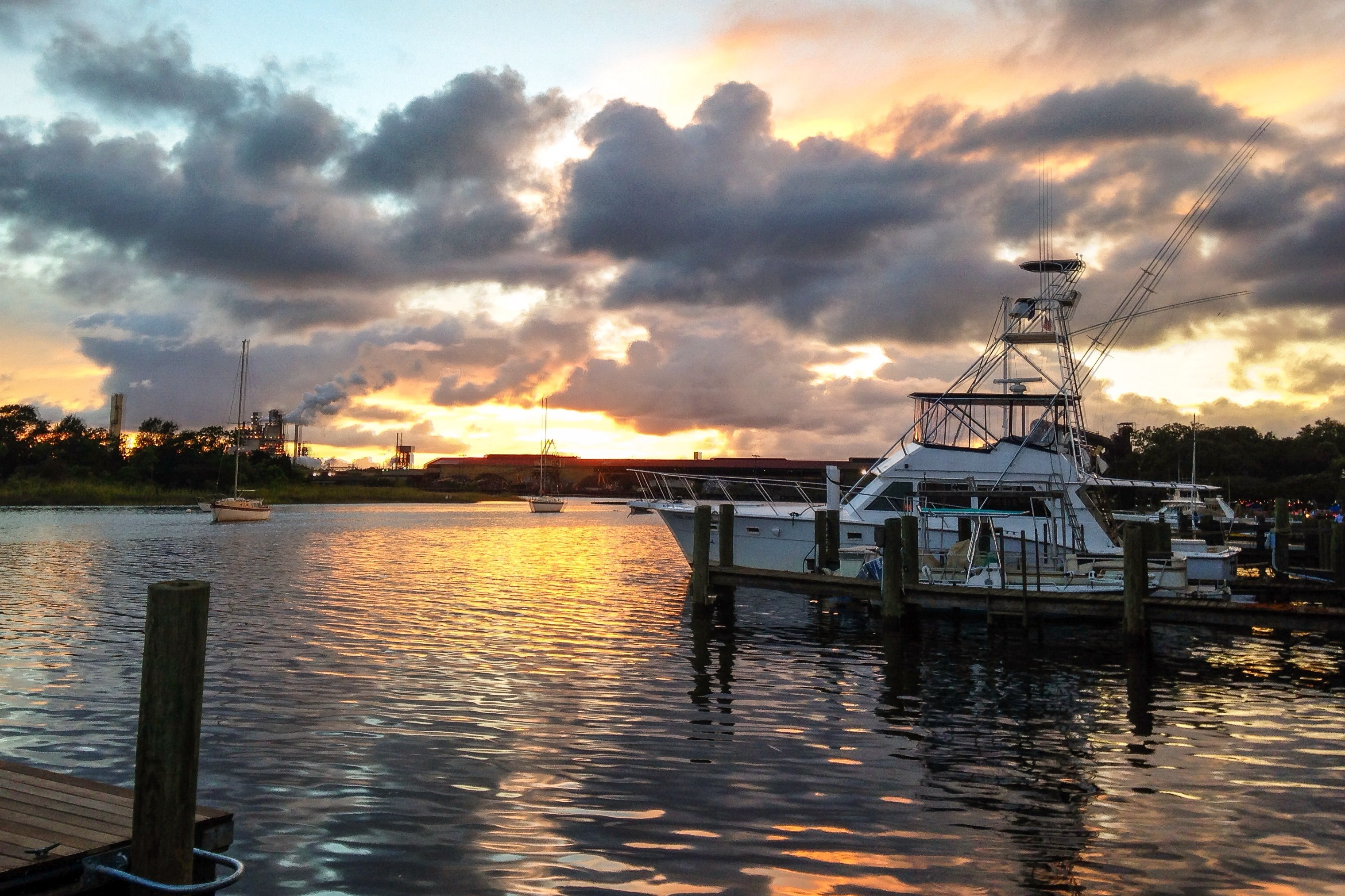
iPhone - Georgetown Waterfront Sunset HDR
Pawleys Island perfect
Coot Corner
Pawleys Sunrise

Dawn at the Jetty - 2
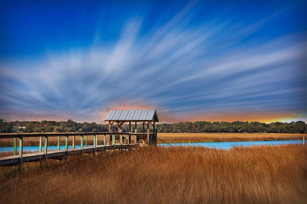
marsh pano
Pastel sunrise through the Sea Oats
Hurricane over the horizon.
Pawleys Marsh
Atlantic Dawn
Topographic Map of 68 Wallace Pate Dr, Georgetown, SC, USA
Find elevation by address:

Places near 68 Wallace Pate Dr, Georgetown, SC, USA:
68 Wallace Pate Dr
Colony Club Drive
Colony Club Drive
Colony Club Drive
452 Colony Club Dr
358 Lantana Cir
81 Luvan Blvd
210 Calais Ln
210 Calais Ln
1156 Wallace Pate Dr
673 Collins Meadow Dr
420 Ocean Green Dr
Debidue Island
380 Ocean Green Dr
354 Ocean Green Dr
344 Ocean Green Dr
340 Ocean Green Dr
304 Ocean Green Dr
Ocean Green Drive
19 Ocean Green Dr
Recent Searches:
- Elevation of Leguwa, Nepal
- Elevation of County Rd, Enterprise, AL, USA
- Elevation of Kolchuginsky District, Vladimir Oblast, Russia
- Elevation of Shustino, Vladimir Oblast, Russia
- Elevation of Lampiasi St, Sarasota, FL, USA
- Elevation of Elwyn Dr, Roanoke Rapids, NC, USA
- Elevation of Congressional Dr, Stevensville, MD, USA
- Elevation of Bellview Rd, McLean, VA, USA
- Elevation of Stage Island Rd, Chatham, MA, USA
- Elevation of Shibuya Scramble Crossing, 21 Udagawacho, Shibuya City, Tokyo -, Japan