Elevation of Cajabamba, Peru
Location: Peru > Cajamarca > Cajabamba Province >
Longitude: -78.045221
Latitude: -7.6209569
Elevation: 2678m / 8786feet
Barometric Pressure: 73KPa
Elevation Map:
Satellite Map:
Related Photos:
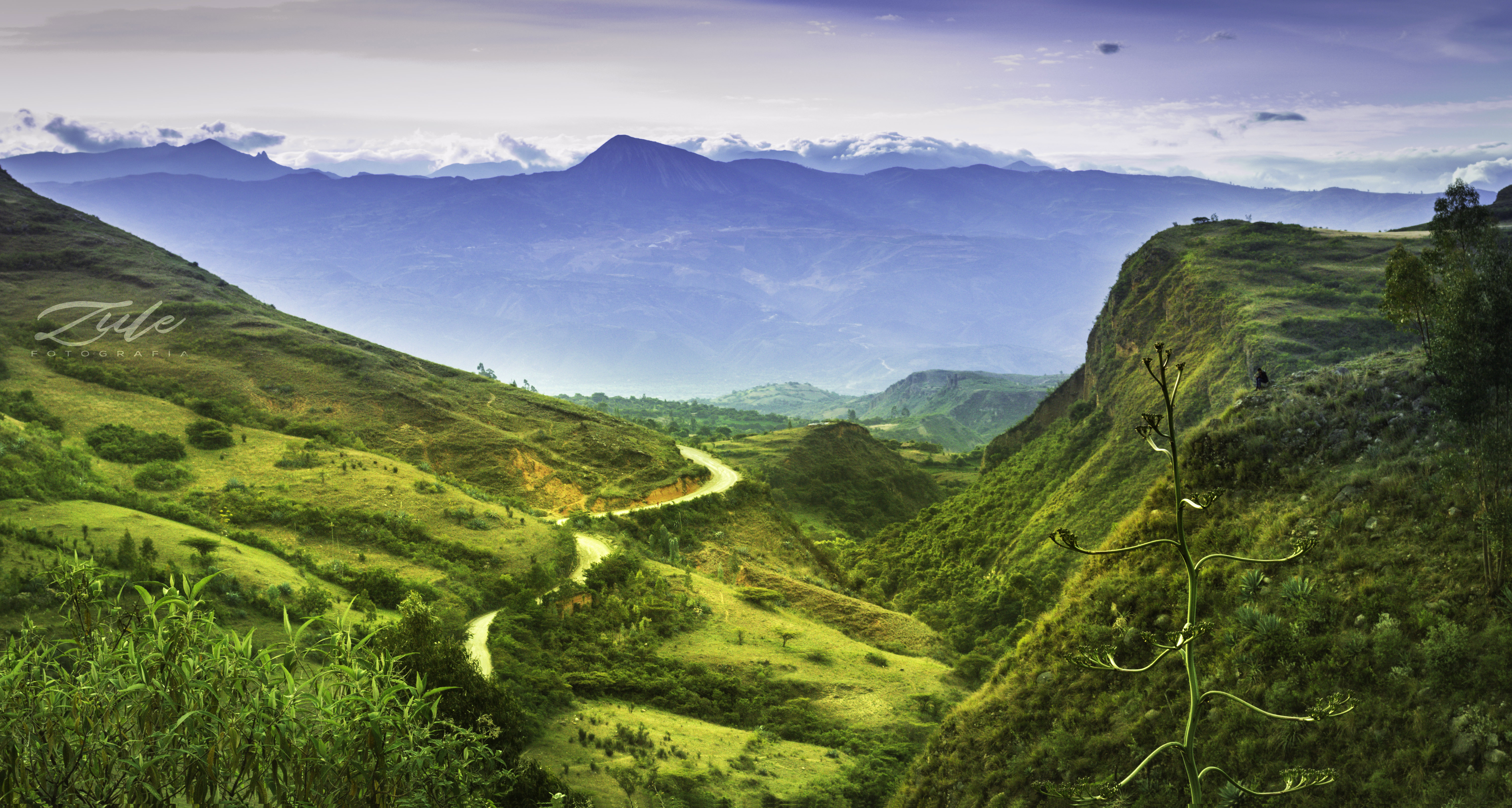
Vista de la Peña del Olvido - Cajabamba

Vista del fin de la Pampa Grande - Cajabamba

Marché de Cajamarca
Topographic Map of Cajabamba, Peru
Find elevation by address:

Places near Cajabamba, Peru:
Cajabamba Province
Av. Señor de la Misericordia, Marcabal, Peru
3N, Peru
3N 12, Peru
San Marcos Province
Sánchez Carrión Province
Bolívar
La Libertad 3, Peru
Mollepata District
Santiago De Chuco Province
Cajamarca
Cajamarca
La Libertad
Porcón Alto
Recent Searches:
- Elevation of 24 Oakland Rd #, Scotland, ON N0E 1R0, Canada
- Elevation of Deep Gap Farm Rd E, Mill Spring, NC, USA
- Elevation of Dog Leg Dr, Minden, NV, USA
- Elevation of Dog Leg Dr, Minden, NV, USA
- Elevation of Kambingan Sa Pansol Atbp., Purok 7 Pansol, Candaba, Pampanga, Philippines
- Elevation of Pinewood Dr, New Bern, NC, USA
- Elevation of Mountain View, CA, USA
- Elevation of Foligno, Province of Perugia, Italy
- Elevation of Blauwestad, Netherlands
- Elevation of Bella Terra Blvd, Estero, FL, USA