Elevation map of Santiago de Chuco Province, Peru
Location: Peru > Ancash >
Longitude: -78.202038
Latitude: -8.2215655
Elevation: 3755m / 12320feet
Barometric Pressure: 64KPa
Elevation Map:
Satellite Map:
Related Photos:
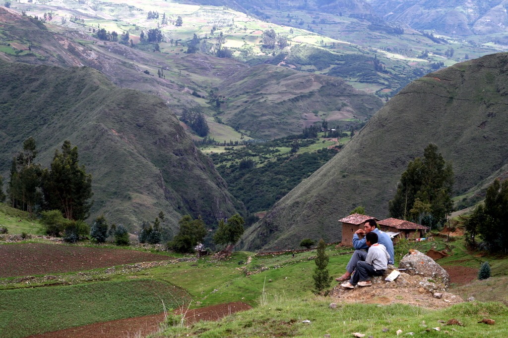
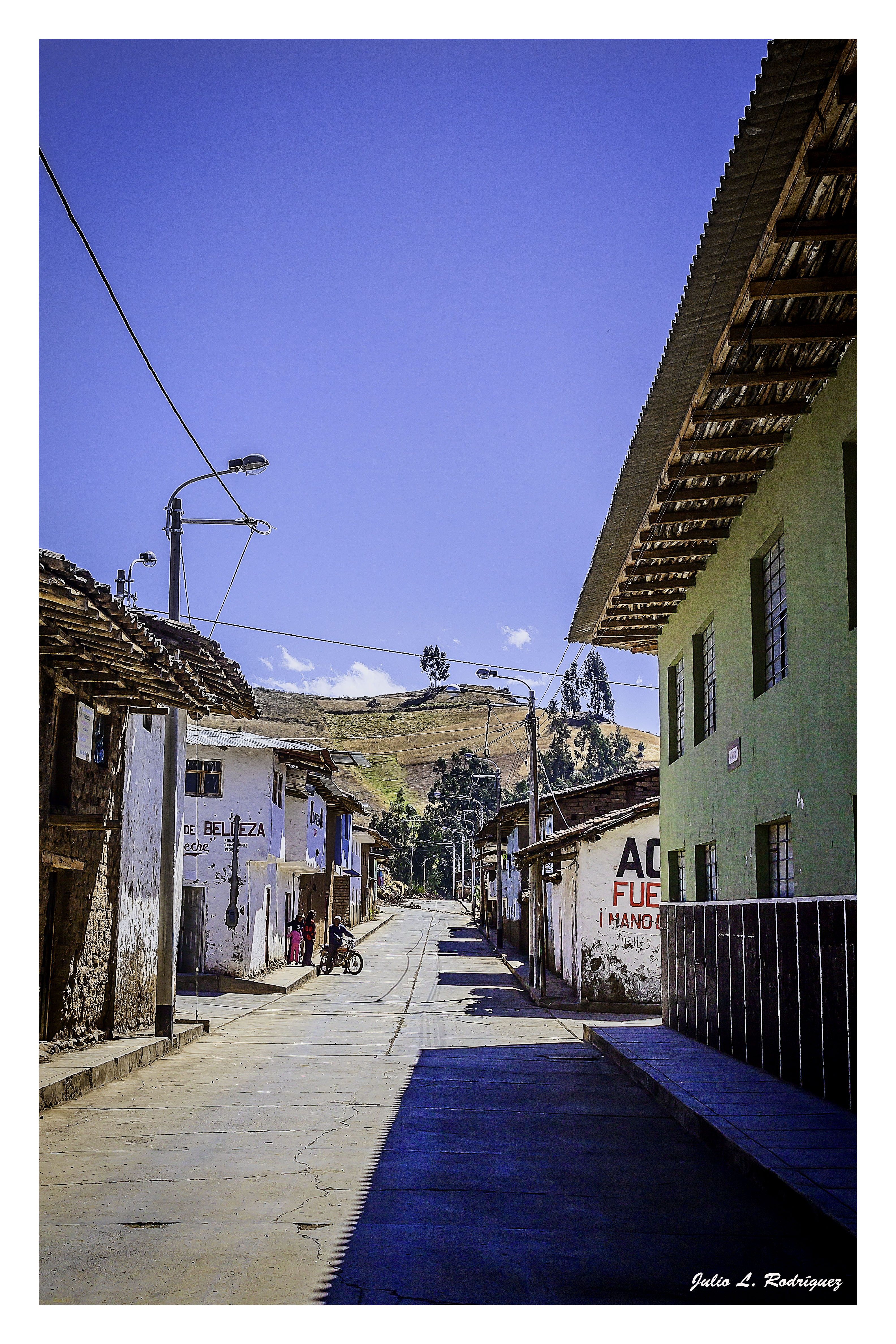
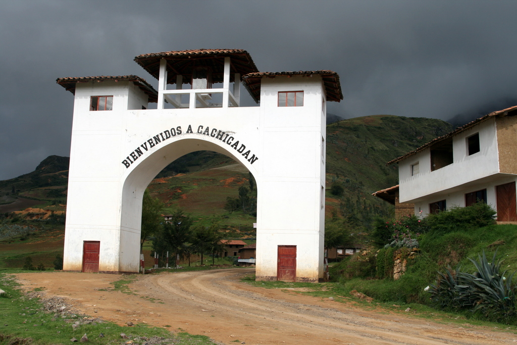
Cachicadan, Perú
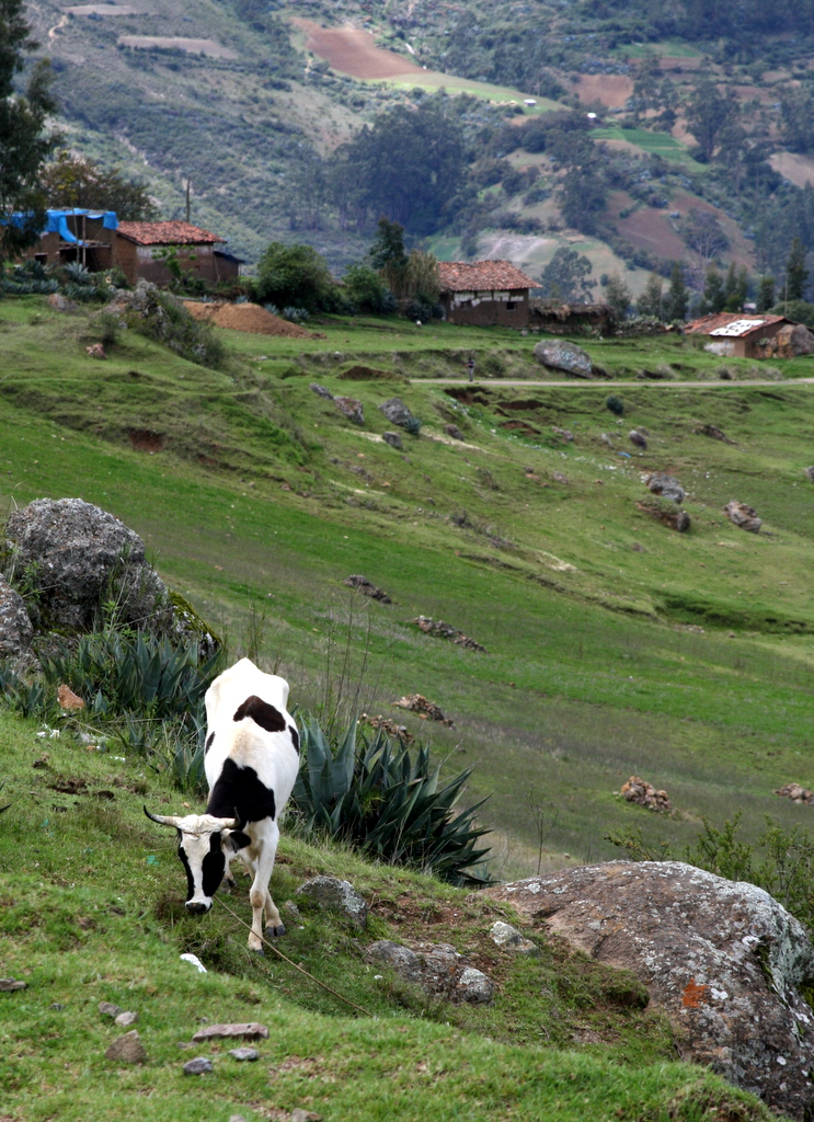
Cachicadan, Perú

naturalist guru
Santiago de Chuco-La Libertad (Perú)

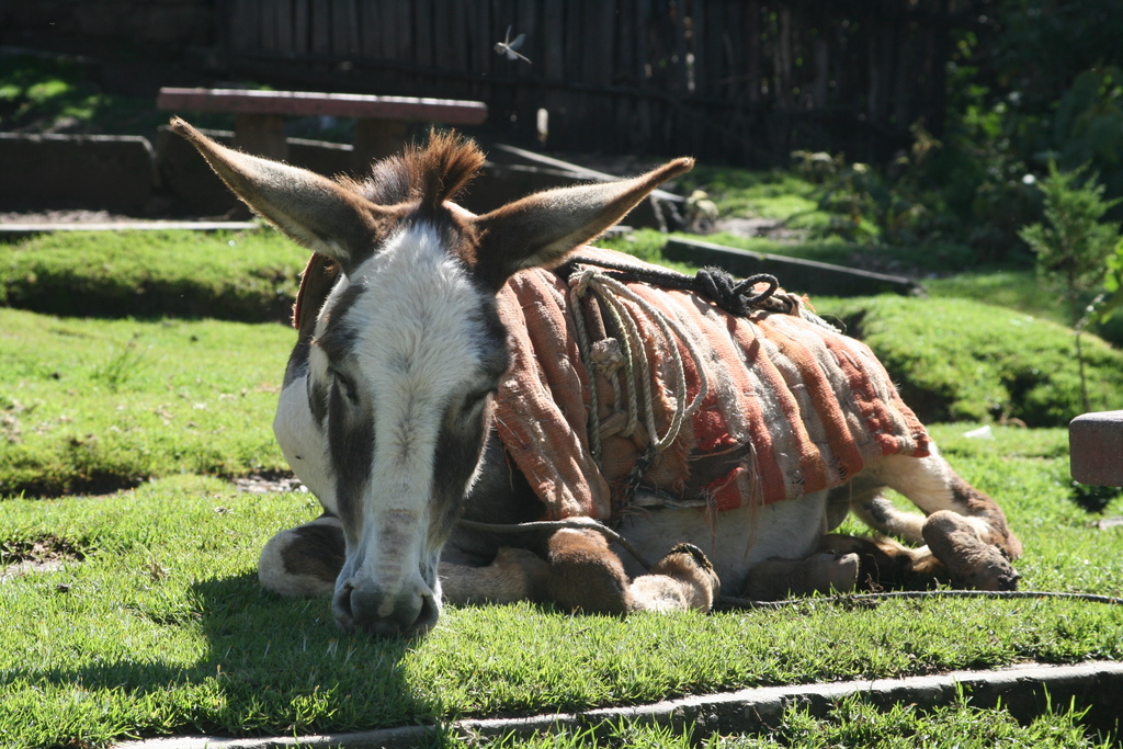
Cachicadan, Perú

Cachicadan, Perú

Cachicadan, Perú
Cachicadan, Perú

Cachicadan, Perú

Cachicadan, Perú

Cachicadan, Perú
Cachicadan, Perú

Cachicadan, Perú

Cachicadan, Perú
Cachicadan, Perú
Topographic Map of Santiago de Chuco Province, Peru
Find elevation by address:

Places in Santiago de Chuco Province, Peru:
Places near Santiago de Chuco Province, Peru:
Mollepata District
La Libertad
3N 12, Peru
La Libertad 3, Peru
Sánchez Carrión Province
Av. Señor de la Misericordia, Marcabal, Peru
Cajabamba
Cajabamba Province
3N, Peru
San Marcos Province
Bolívar
Cajamarca
Cajamarca
Porcón Alto
Recent Searches:
- Elevation of Dog Leg Dr, Minden, NV, USA
- Elevation of Dog Leg Dr, Minden, NV, USA
- Elevation of Kambingan Sa Pansol Atbp., Purok 7 Pansol, Candaba, Pampanga, Philippines
- Elevation of Pinewood Dr, New Bern, NC, USA
- Elevation of Mountain View, CA, USA
- Elevation of Foligno, Province of Perugia, Italy
- Elevation of Blauwestad, Netherlands
- Elevation of Bella Terra Blvd, Estero, FL, USA
- Elevation of Estates Loop, Priest River, ID, USA
- Elevation of Woodland Oak Pl, Thousand Oaks, CA, USA