Elevation of Cairo, GA, USA
Location: United States > Georgia > Grady County >
Longitude: -84.201289
Latitude: 30.8774132
Elevation: 73m / 240feet
Barometric Pressure: 100KPa
Elevation Map:
Satellite Map:
Related Photos:

Trout lily

Providence Canyon, GA

Providence Canyon, GA

Wolf Creek Preserve

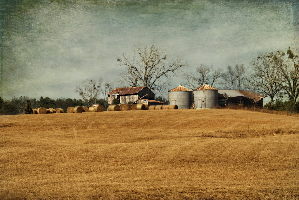
Millsaps Training Facility, Grady County

Providence Canyon, GA

Providence Canyon, GA
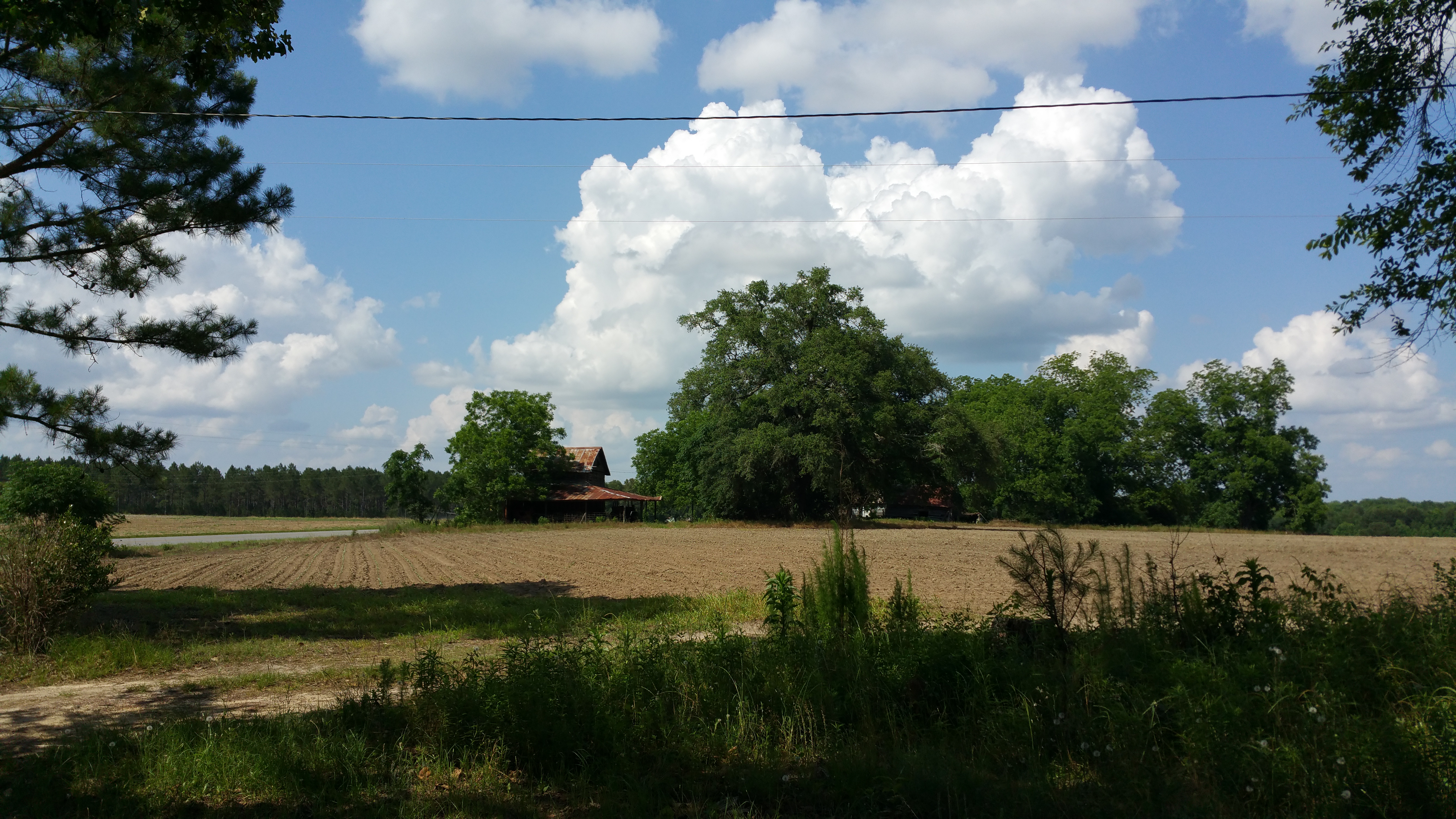
Old rustic farmhouse
Grady County, Ga.
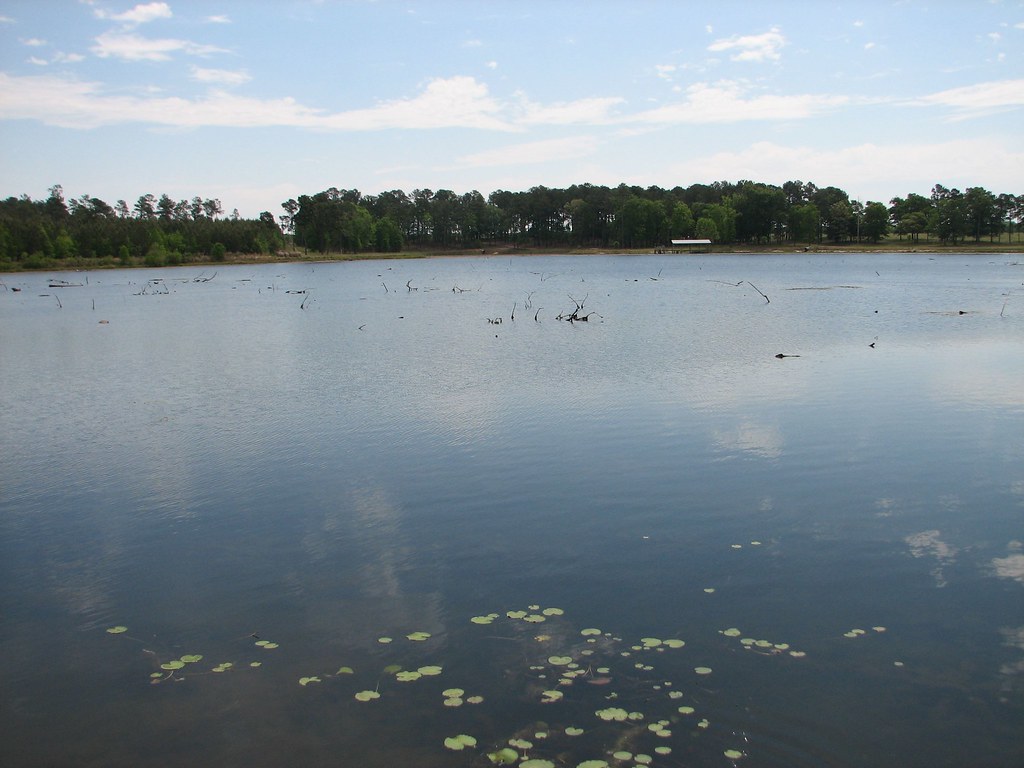
2007~Boys Fishing in Pond in Franklin Co., Whigham, GA
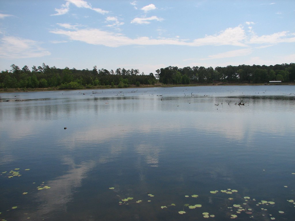
2007~Boys Fishing in Pond in Franklin Co., Whigham, GA
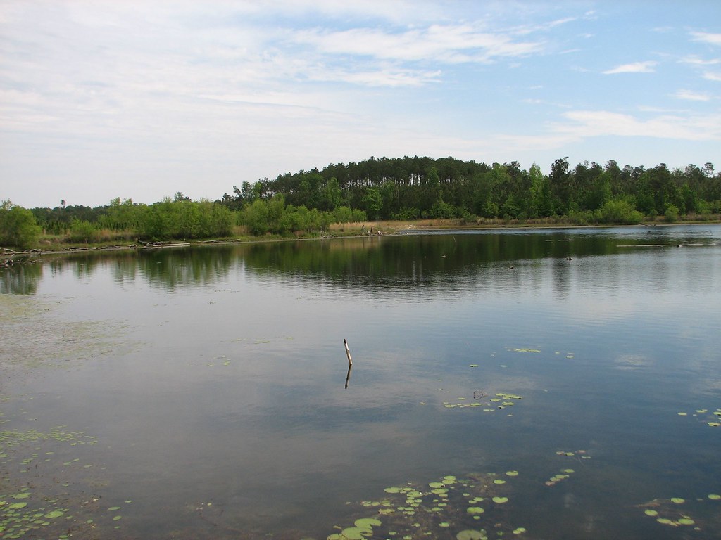
2007~Boys Fishing in Pond in Franklin Co., Whigham, GA

2007~Boys Fishing in Pond in Franklin Co., Whigham, GA
Topographic Map of Cairo, GA, USA
Find elevation by address:

Places in Cairo, GA, USA:
Places near Cairo, GA, USA:
5th St NE, Cairo, GA, USA
68 Hall Rd, Cairo, GA, USA
Grady County
159 Cameron Rd
394 Richter Rd
112 Silver Eagle Dr
112 Silver Eagle Dr
Wolf Creek Road
1067 Rawls Rd #9
Whigham
280 Bishop Ln
1255 Singletary Rd
Hatcher Lane
Old S, Whigham, GA, USA
2454 Lower Hawthorne Trail
2454 Lower Hawthorne Trail
US-, Thomasville, GA, USA
Metcalf, GA, USA
Daisy Ln, Thomasville, GA, USA
Mistletoe Plantation
Recent Searches:
- Elevation of Estates Loop, Priest River, ID, USA
- Elevation of Woodland Oak Pl, Thousand Oaks, CA, USA
- Elevation of Brownsdale Rd, Renfrew, PA, USA
- Elevation of Corcoran Ln, Suffolk, VA, USA
- Elevation of Mamala II, Sariaya, Quezon, Philippines
- Elevation of Sarangdanda, Nepal
- Elevation of 7 Waterfall Way, Tomball, TX, USA
- Elevation of SW 57th Ave, Portland, OR, USA
- Elevation of Crocker Dr, Vacaville, CA, USA
- Elevation of Pu Ngaol Community Meeting Hall, HWHM+3X7, Krong Saen Monourom, Cambodia