Elevation of 68 Hall Rd, Cairo, GA, USA
Location: United States > Georgia > Grady County > Cairo >
Longitude: -84.172955
Latitude: 30.8753619
Elevation: 76m / 249feet
Barometric Pressure: 100KPa
Elevation Map:
Satellite Map:
Related Photos:

Trout lily
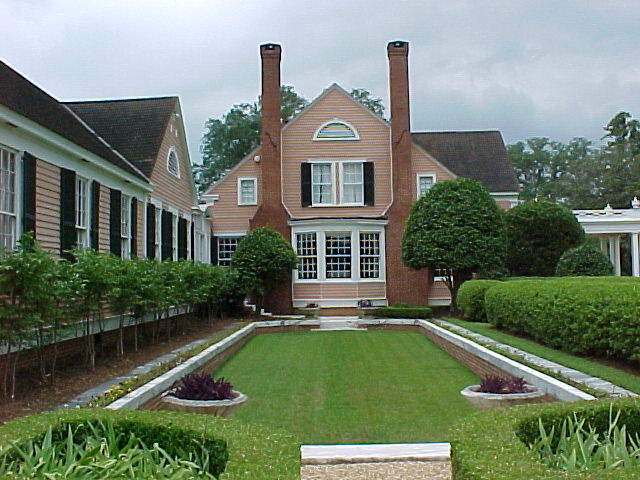
Side view of the house
Early moning view out of our window

Providence Canyon, GA

Wolf Creek Preserve

Millsaps Training Facility, Grady County

Providence Canyon, GA

Providence Canyon, GA

Tennis Court
Old Store 1

Grady County, Ga.

Providence Canyon, GA
Topographic Map of 68 Hall Rd, Cairo, GA, USA
Find elevation by address:

Places near 68 Hall Rd, Cairo, GA, USA:
Cairo
5th St NE, Cairo, GA, USA
394 Richter Rd
159 Cameron Rd
Grady County
112 Silver Eagle Dr
112 Silver Eagle Dr
1067 Rawls Rd #9
1255 Singletary Rd
Wolf Creek Road
Whigham
280 Bishop Ln
Hatcher Lane
Metcalf, GA, USA
US-, Thomasville, GA, USA
Daisy Ln, Thomasville, GA, USA
2454 Lower Hawthorne Trail
2454 Lower Hawthorne Trail
Old S, Whigham, GA, USA
Allen St, Thomasville, GA, USA
Recent Searches:
- Elevation of Woodland Oak Pl, Thousand Oaks, CA, USA
- Elevation of Brownsdale Rd, Renfrew, PA, USA
- Elevation of Corcoran Ln, Suffolk, VA, USA
- Elevation of Mamala II, Sariaya, Quezon, Philippines
- Elevation of Sarangdanda, Nepal
- Elevation of 7 Waterfall Way, Tomball, TX, USA
- Elevation of SW 57th Ave, Portland, OR, USA
- Elevation of Crocker Dr, Vacaville, CA, USA
- Elevation of Pu Ngaol Community Meeting Hall, HWHM+3X7, Krong Saen Monourom, Cambodia
- Elevation of Royal Ontario Museum, Queens Park, Toronto, ON M5S 2C6, Canada