Elevation of Grady County, GA, USA
Location: United States > Georgia >
Longitude: -84.227879
Latitude: 30.9050079
Elevation: 93m / 305feet
Barometric Pressure: 100KPa
Elevation Map:
Satellite Map:
Related Photos:

Trout lily

Providence Canyon, GA

Providence Canyon, GA

Millsaps Training Facility, Grady County

Providence Canyon, GA

Providence Canyon, GA
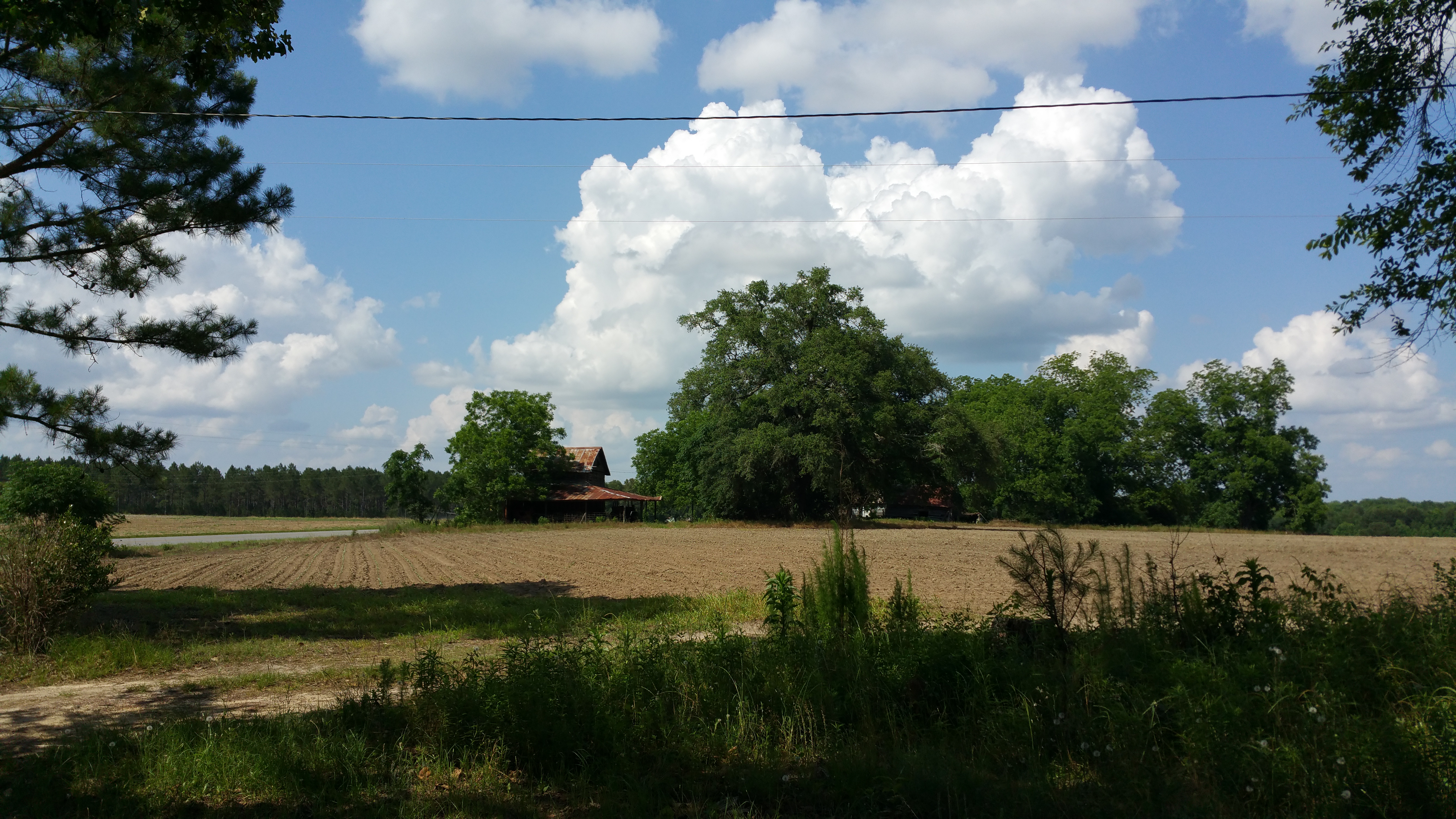
Old rustic farmhouse

Grady County, Ga.
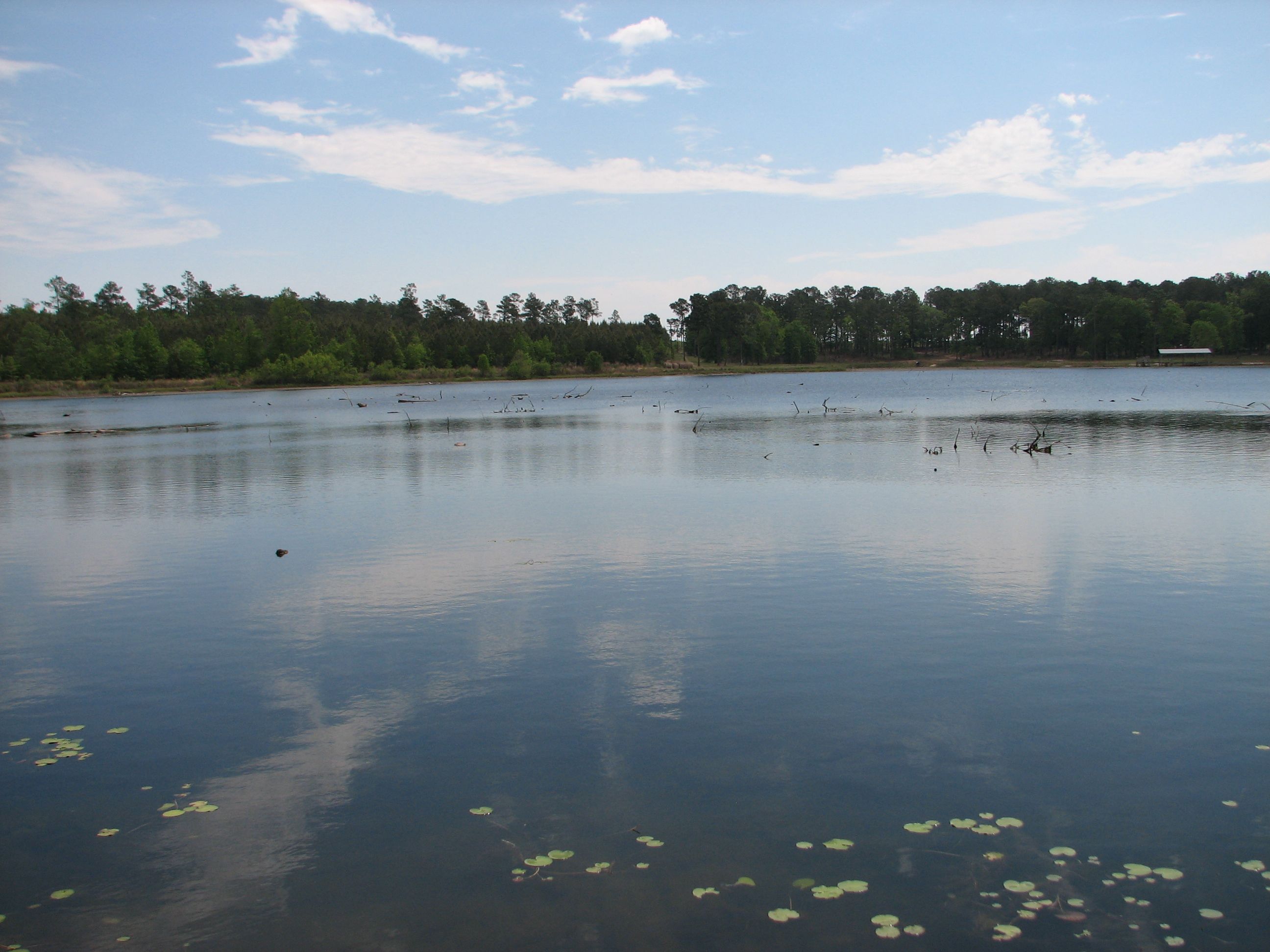
2007~Boys Fishing in Pond in Franklin Co., Whigham, GA
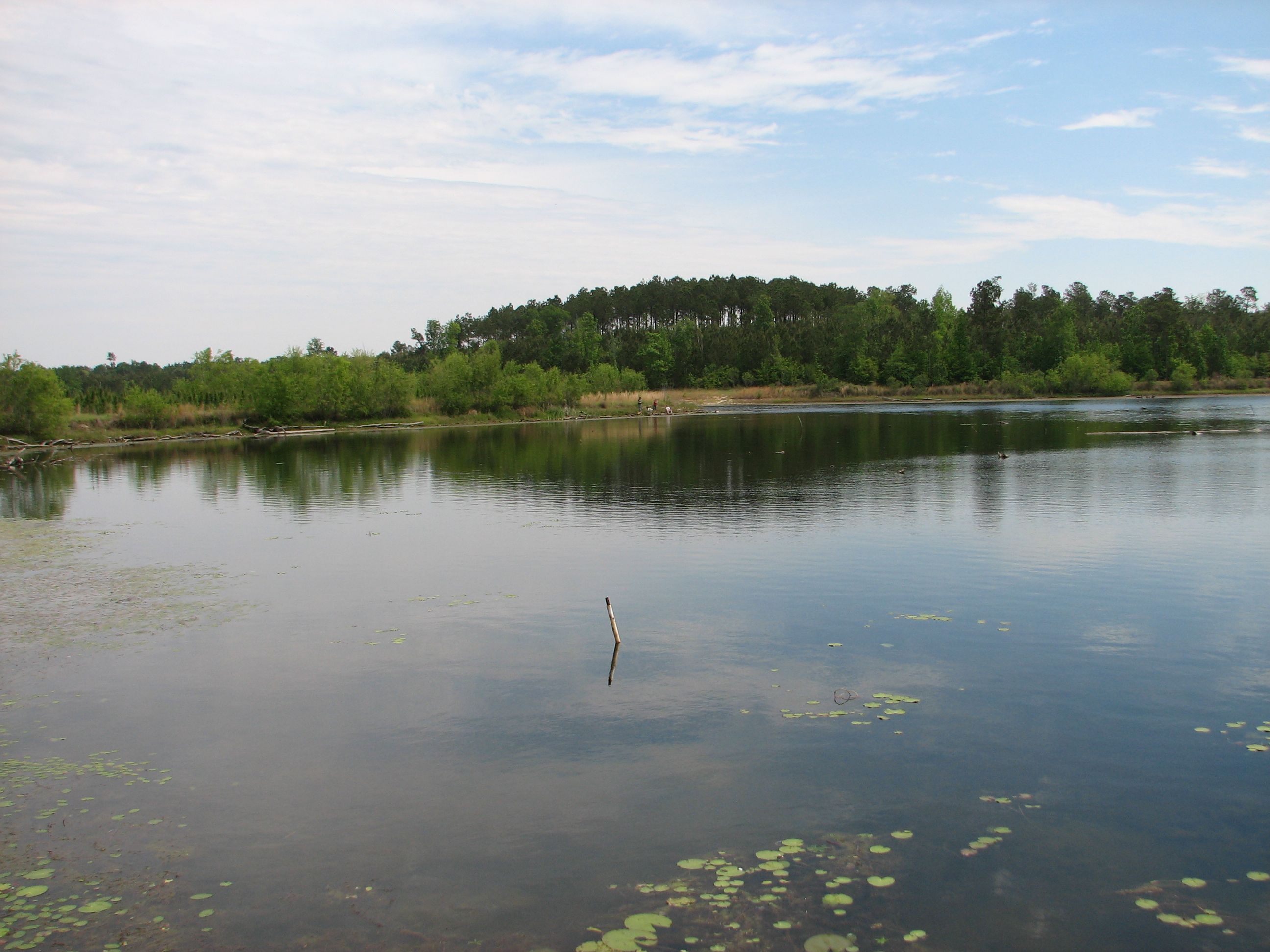
2007~Boys Fishing in Pond in Franklin Co., Whigham, GA

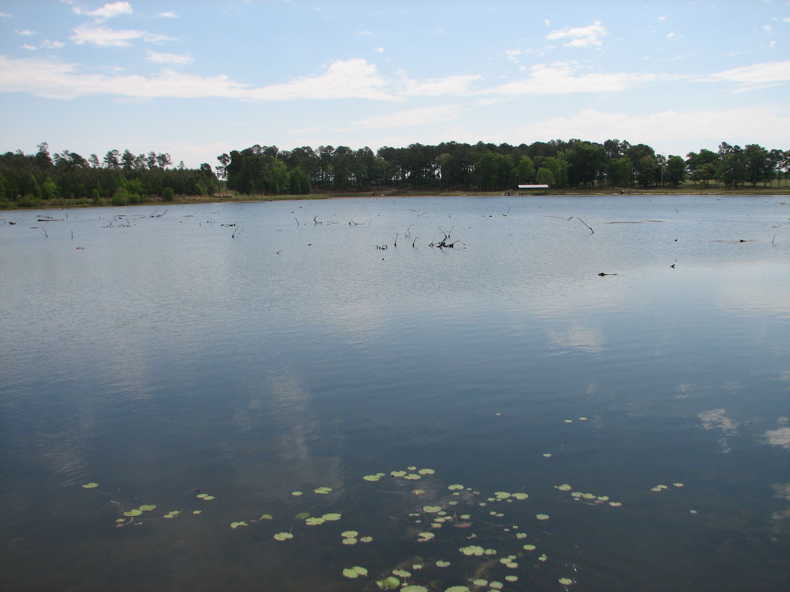
Wolf Creek Preserve
2007~Boys Fishing in Pond in Franklin Co., Whigham, GA
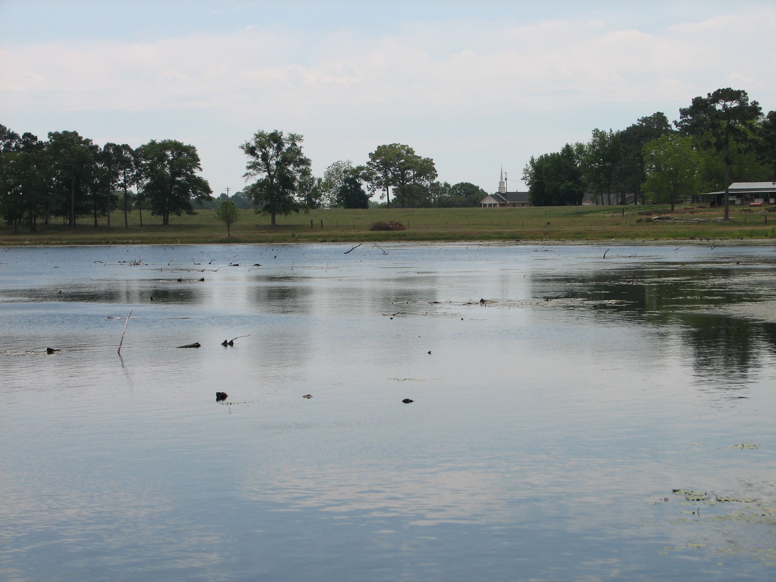
2007~Boys Fishing in Pond in Franklin Co., Whigham, GA
Topographic Map of Grady County, GA, USA
Find elevation by address:

Places in Grady County, GA, USA:
Places near Grady County, GA, USA:
159 Cameron Rd
5th St NE, Cairo, GA, USA
Cairo
394 Richter Rd
112 Silver Eagle Dr
112 Silver Eagle Dr
68 Hall Rd, Cairo, GA, USA
Wolf Creek Road
Whigham
Hatcher Lane
1067 Rawls Rd #9
280 Bishop Ln
Old S, Whigham, GA, USA
1255 Singletary Rd
2454 Lower Hawthorne Trail
2454 Lower Hawthorne Trail
US-, Thomasville, GA, USA
Calvary
Mistletoe Plantation
Daisy Ln, Thomasville, GA, USA
Recent Searches:
- Elevation of Unnamed Road, Respublika Severnaya Osetiya — Alaniya, Russia
- Elevation of Verkhny Fiagdon, North Ossetia–Alania Republic, Russia
- Elevation of F. Viola Hiway, San Rafael, Bulacan, Philippines
- Elevation of Herbage Dr, Gulfport, MS, USA
- Elevation of Lilac Cir, Haldimand, ON N3W 2G9, Canada
- Elevation of Harrod Branch Road, Harrod Branch Rd, Kentucky, USA
- Elevation of Wyndham Grand Barbados Sam Lords Castle All Inclusive Resort, End of Belair Road, Long Bay, Bridgetown Barbados
- Elevation of Iga Trl, Maggie Valley, NC, USA
- Elevation of N Co Rd 31D, Loveland, CO, USA
- Elevation of Lindever Ln, Palmetto, FL, USA