Elevation of CA-33, Gustine, CA, USA
Location: United States > California > Merced County > Gustine >
Longitude: -121.01553
Latitude: 37.0991446
Elevation: 45m / 148feet
Barometric Pressure: 101KPa
Elevation Map:
Satellite Map:
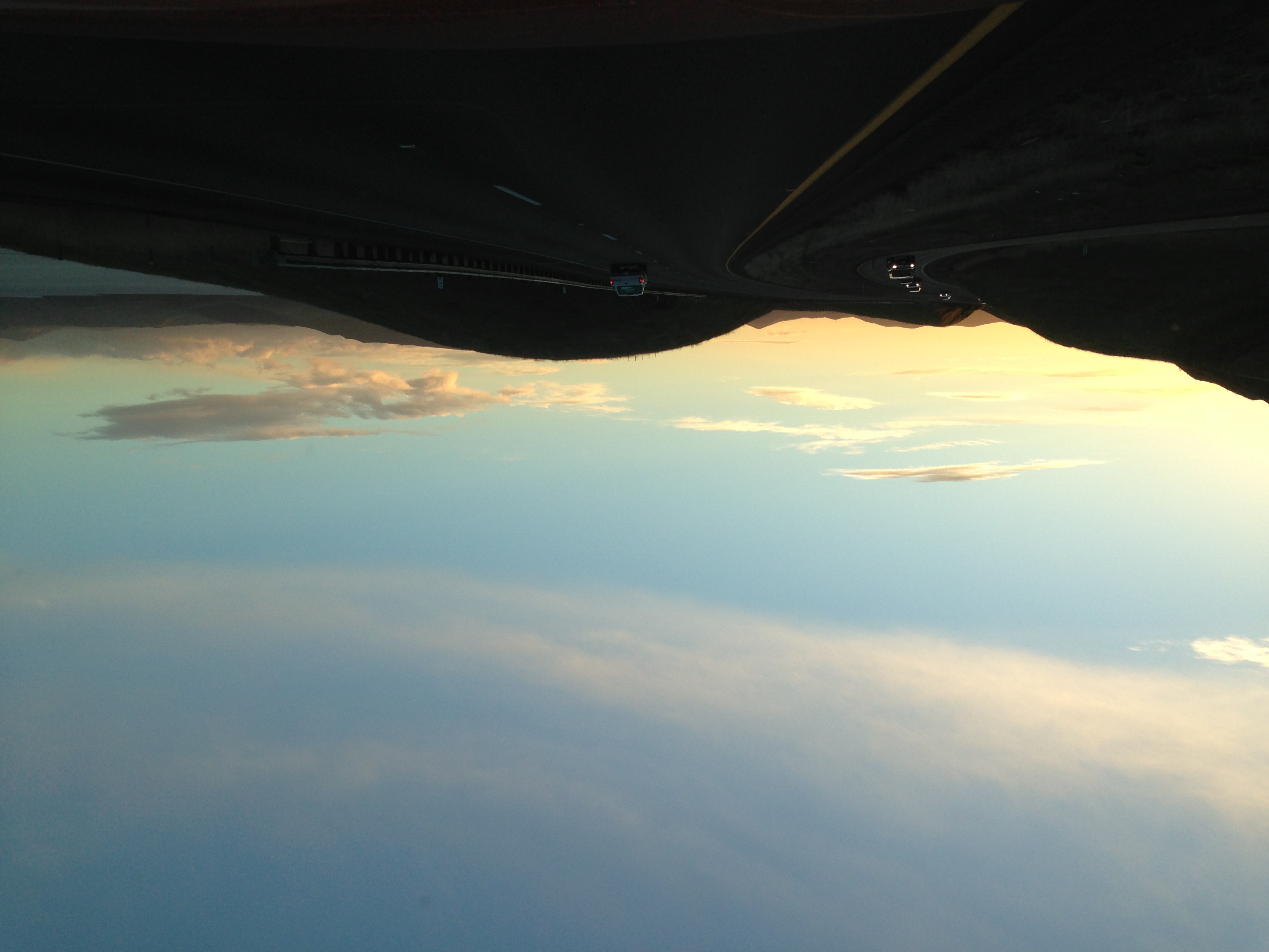
Related Photos:
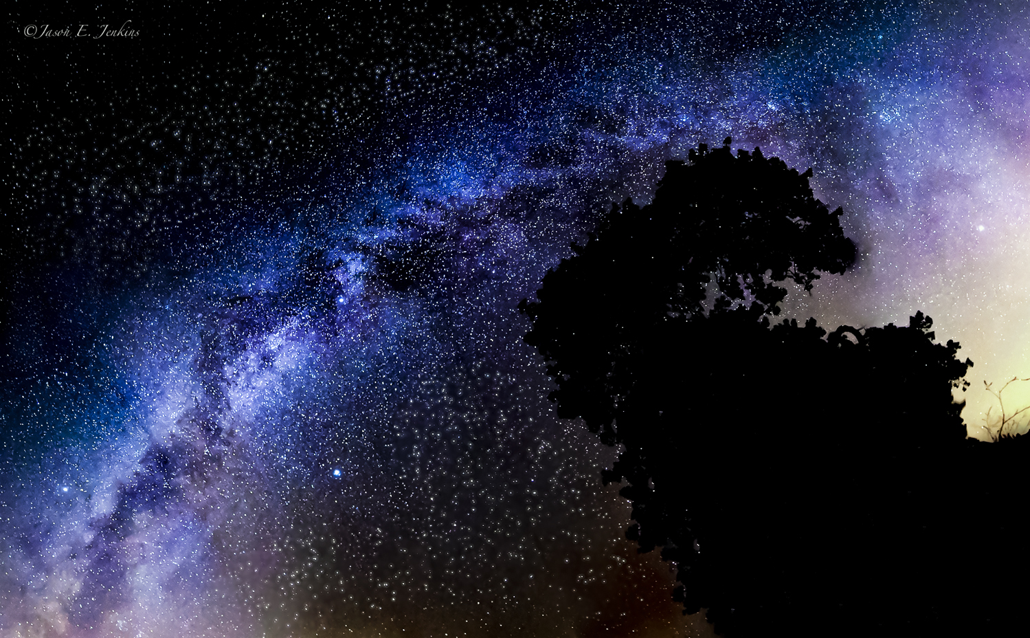
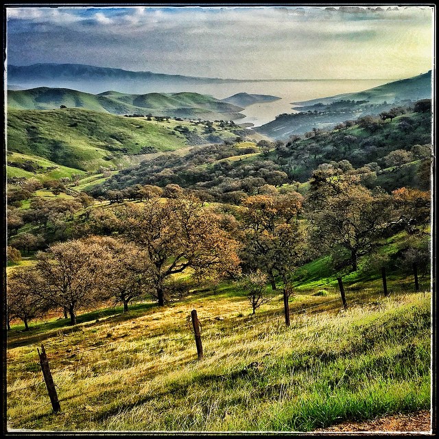
Seasons Of Light (cropped)
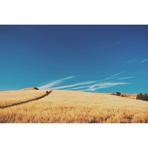
crater-like [+2 in comments] | roadside distraction | gustine, ca
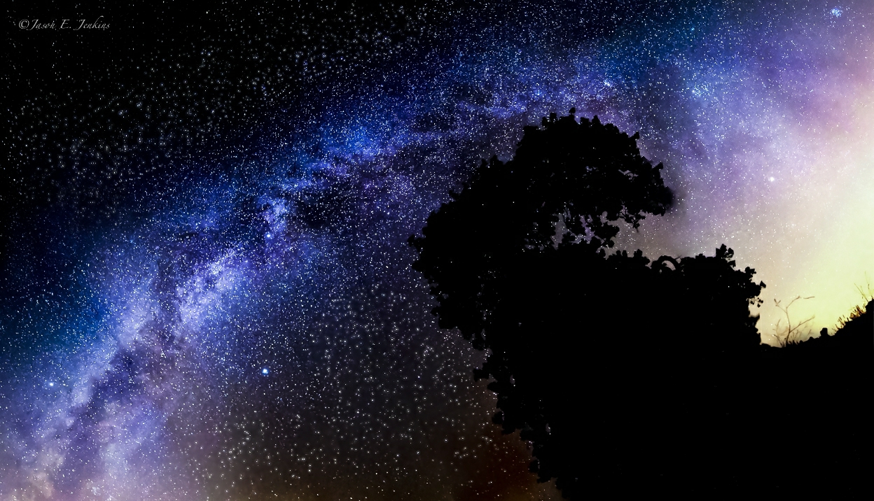
Seasons Of Light
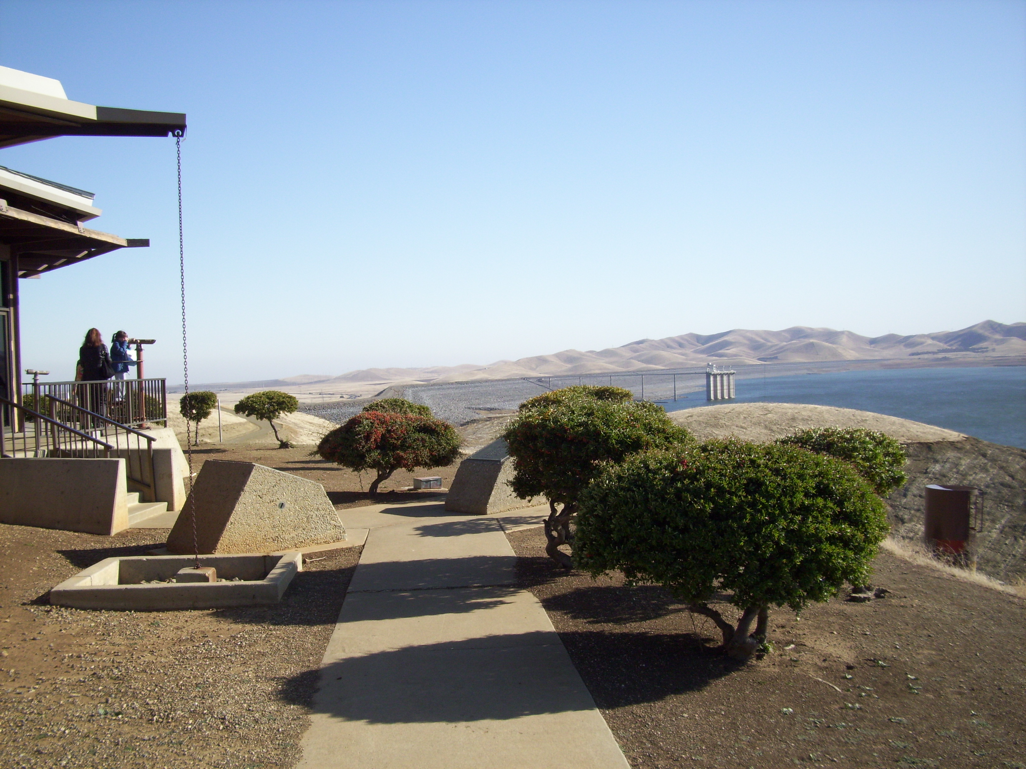
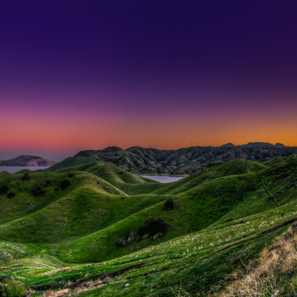
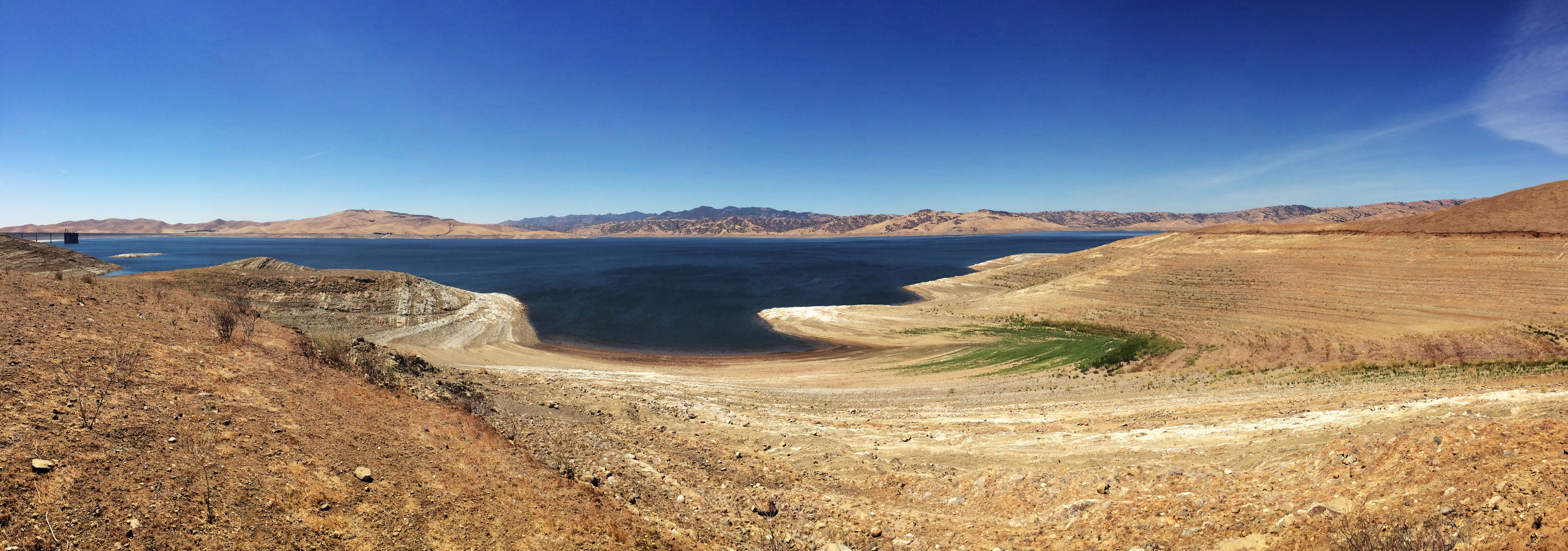
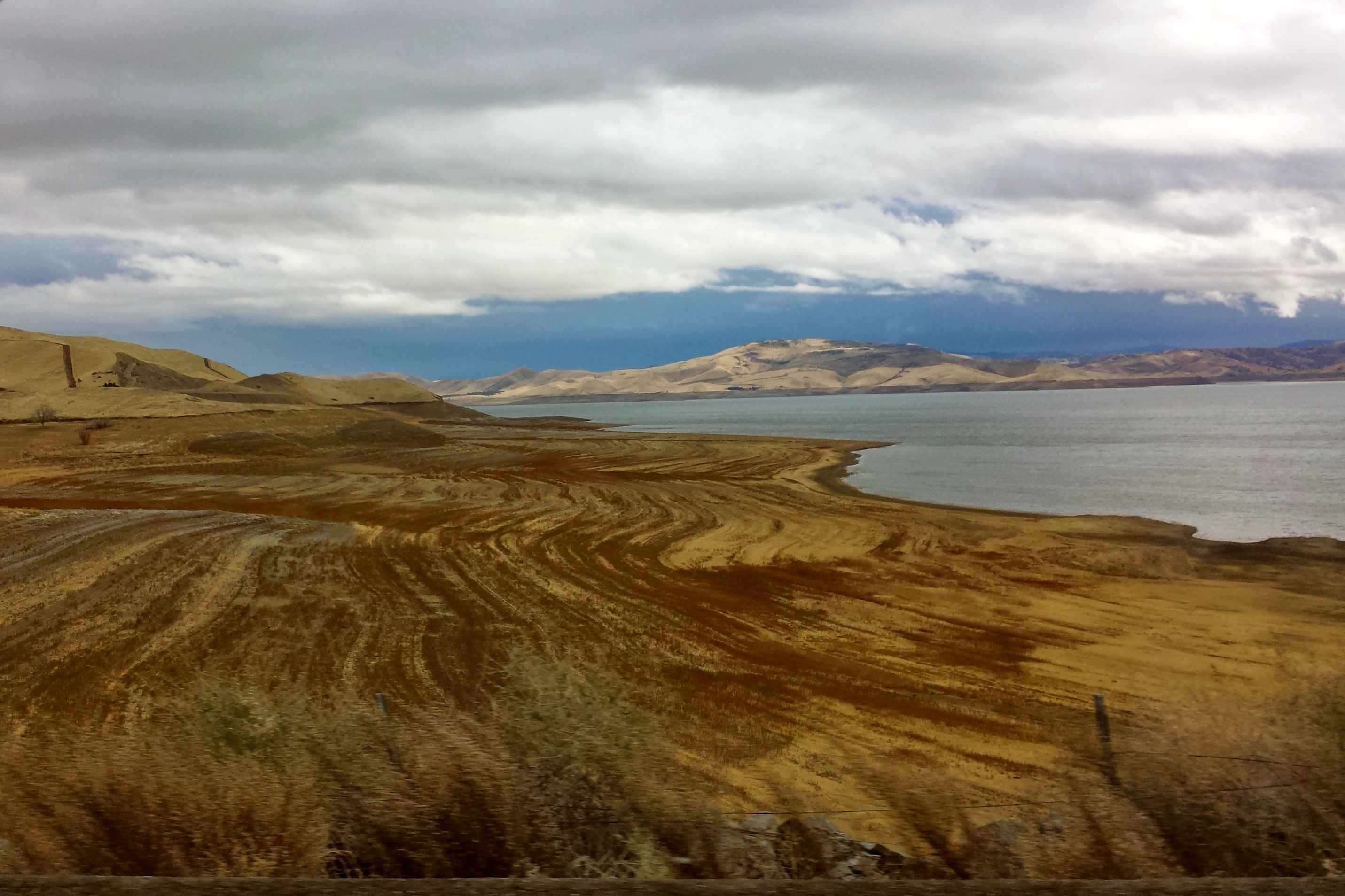
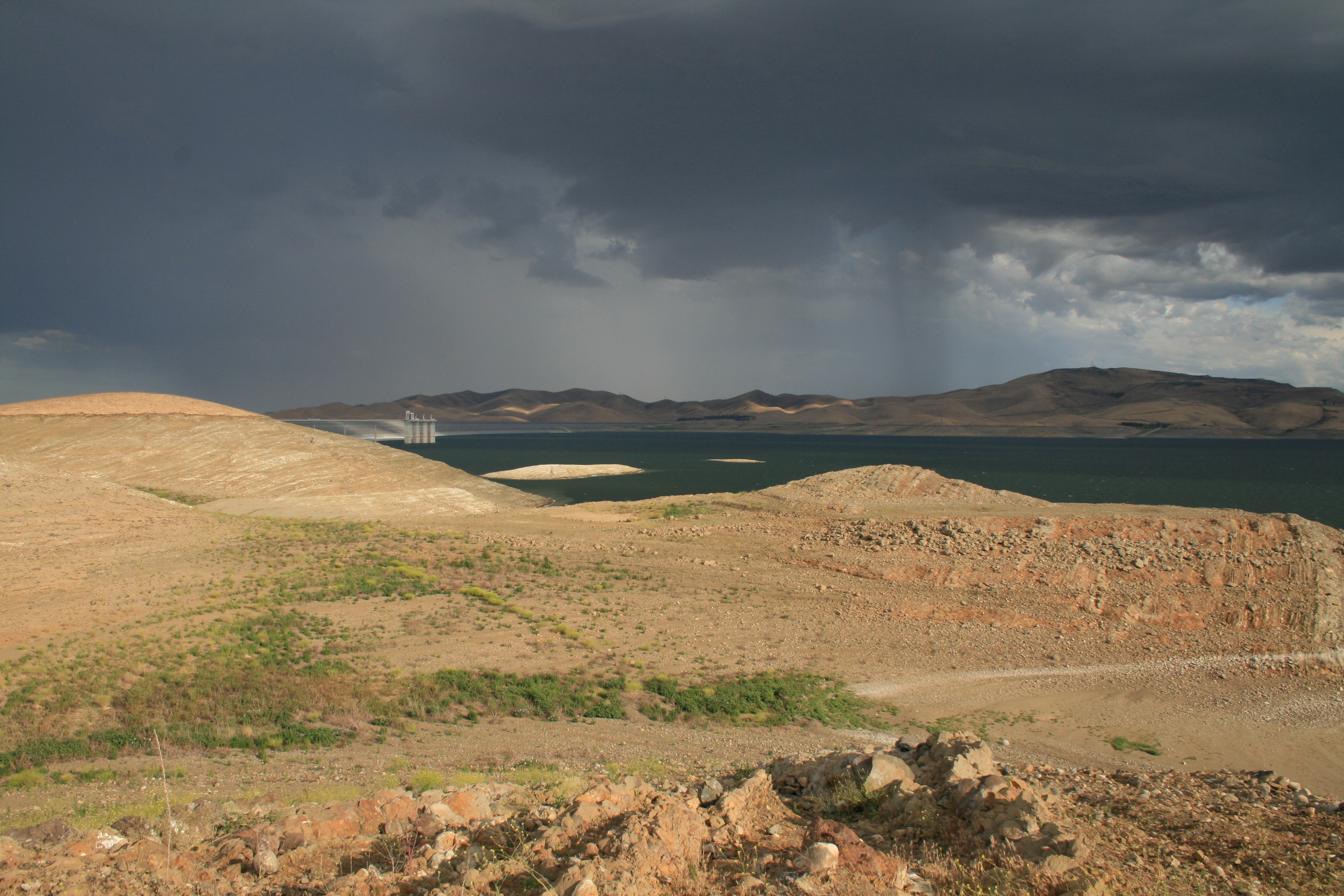
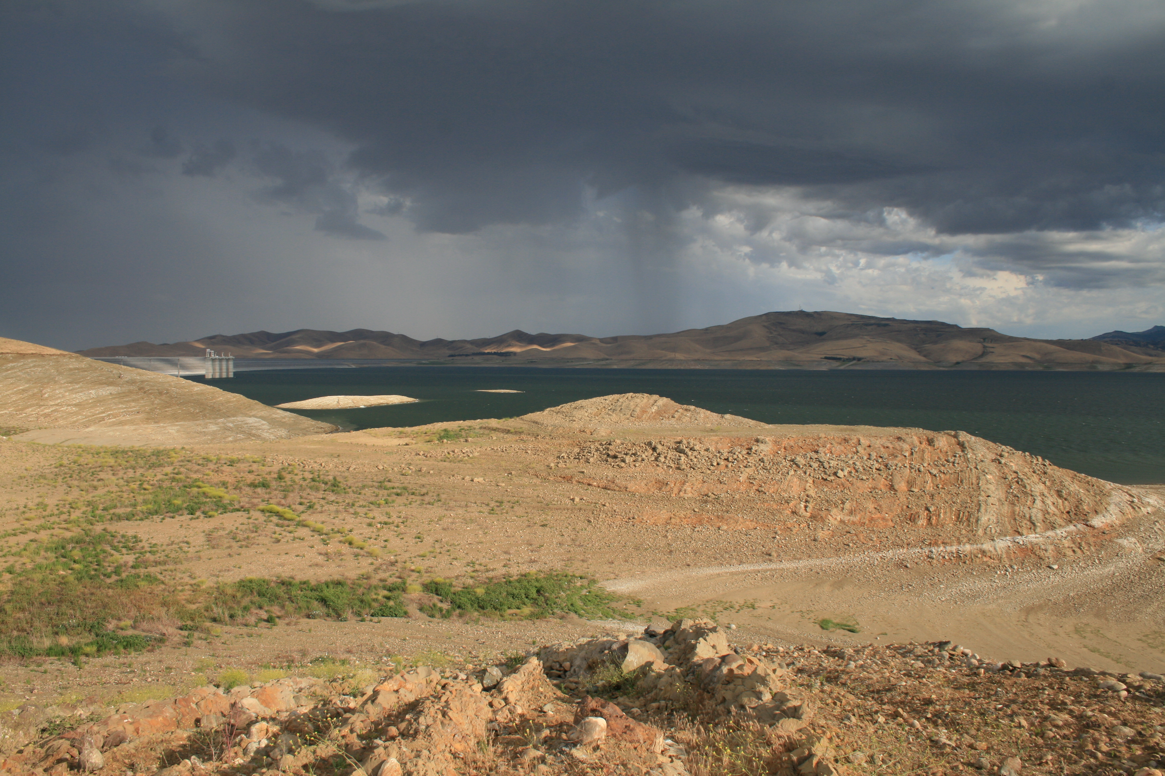
Romero Overlook - San Luis Dam and San Luis Resevoir

Romero Overlook - San Luis Dam and San Luis Resevoir
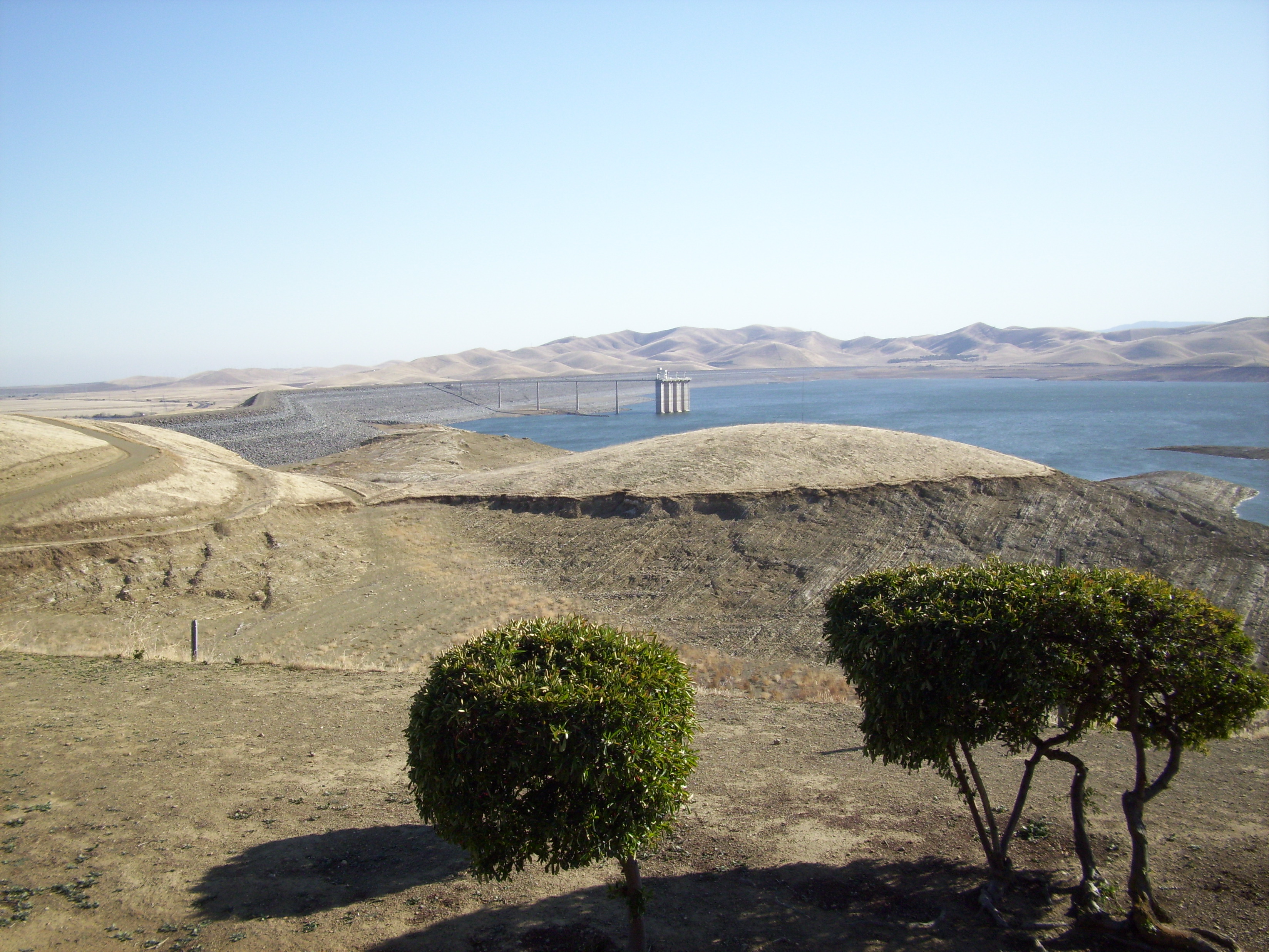
Romero Overlook - San Luis Dam and San Luis Resevoir
Romero Overlook - San Luis Dam and San Luis Resevoir

Romero Overlook - San Luis Dam and San Luis Resevoir
Romero Overlook - San Luis Dam and San Luis Resevoir
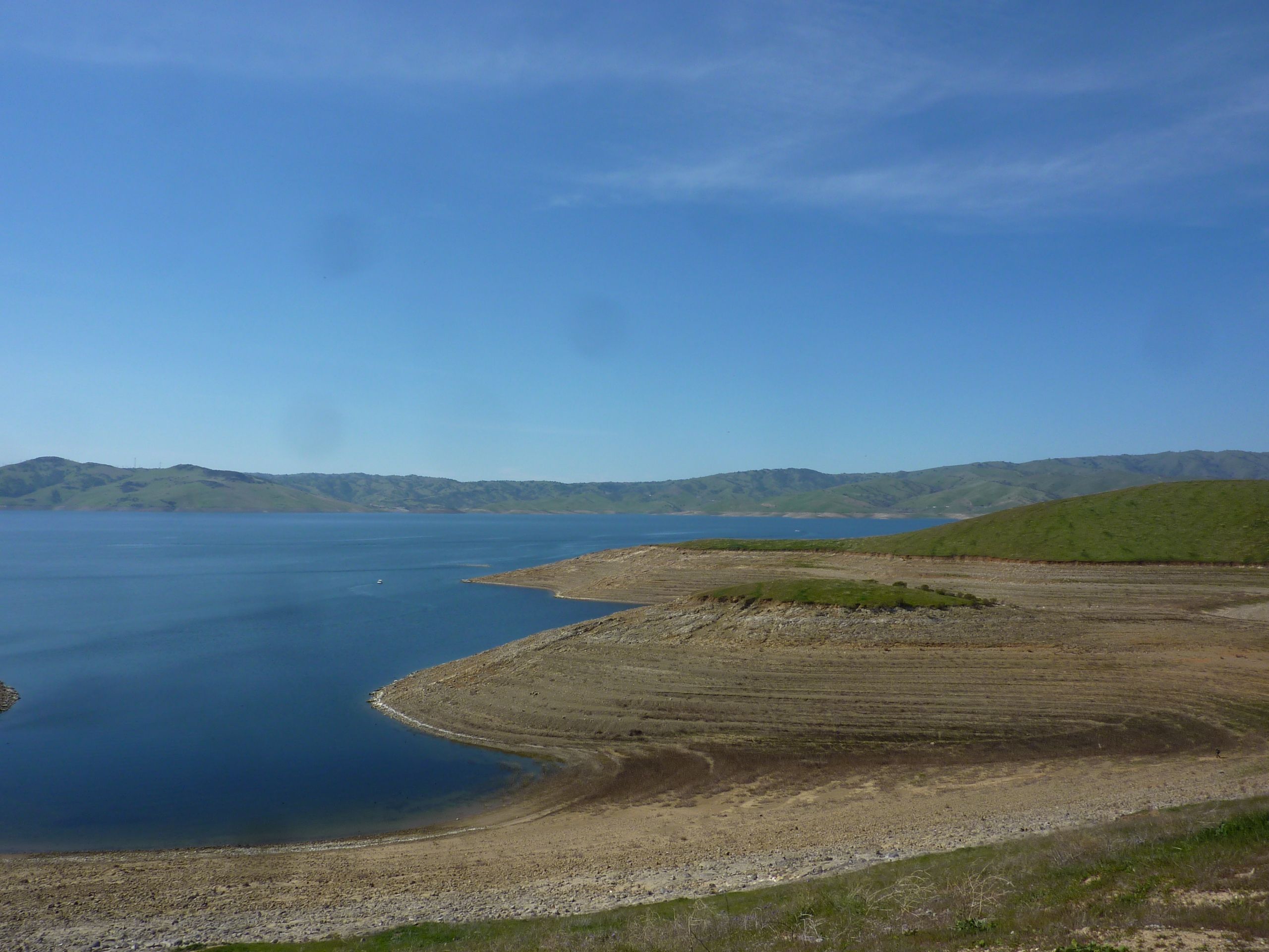
Pretty view of the reservoir #roadtrip #california
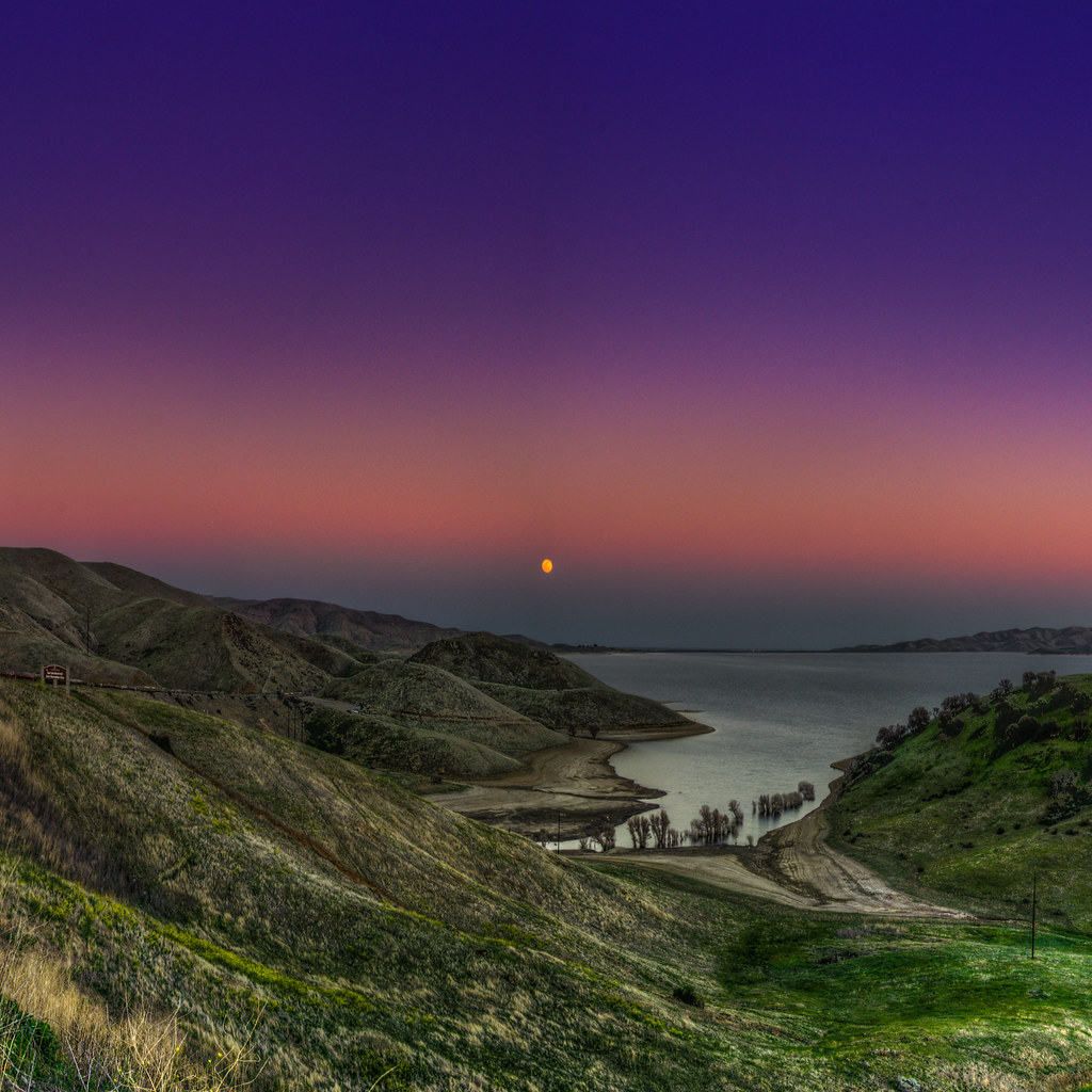
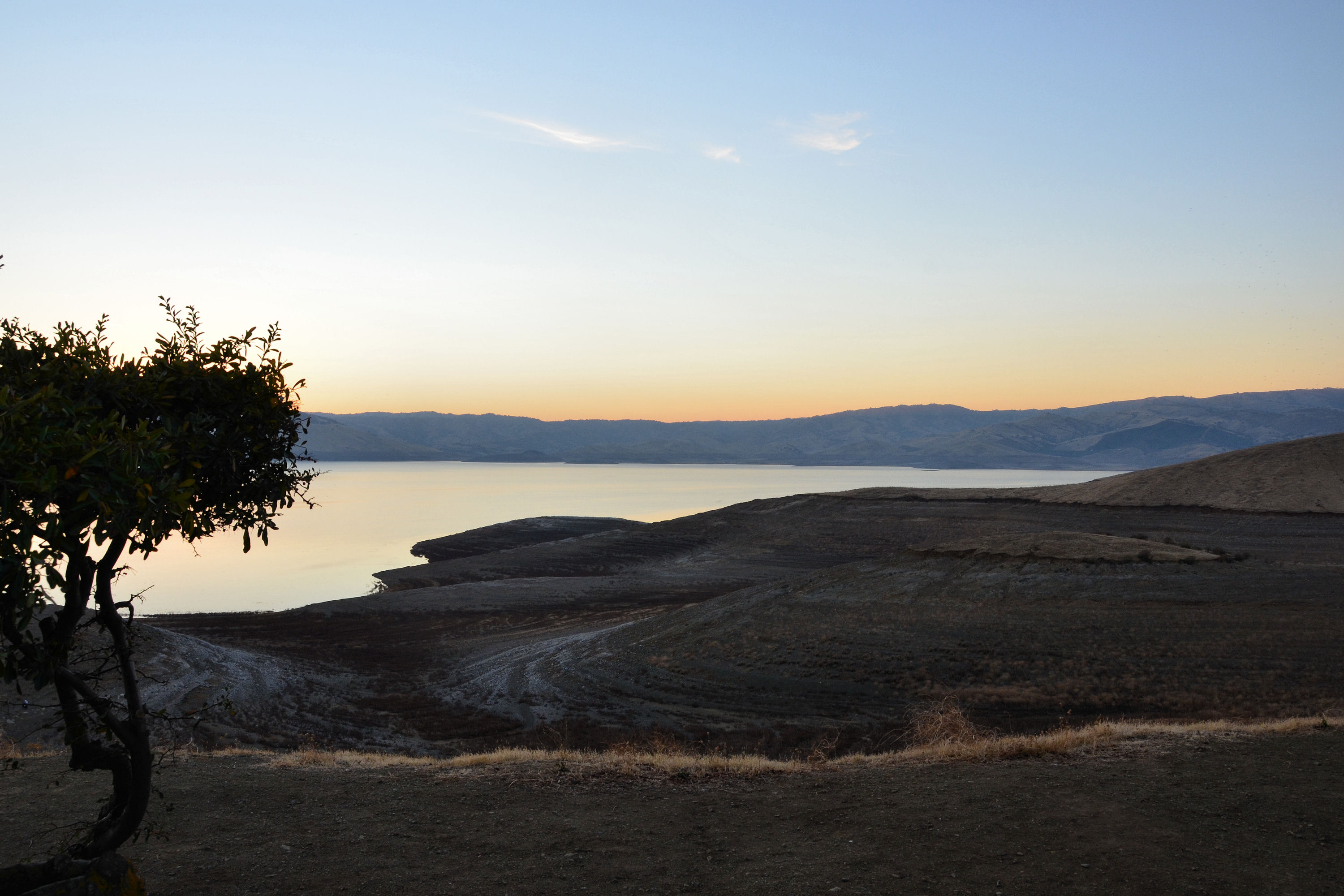
moonrise [+2 in comments] | roadside distraction | gustine, ca

moonrise panorama | san luis reservoir, ca
Day 361: Trip to San Diego

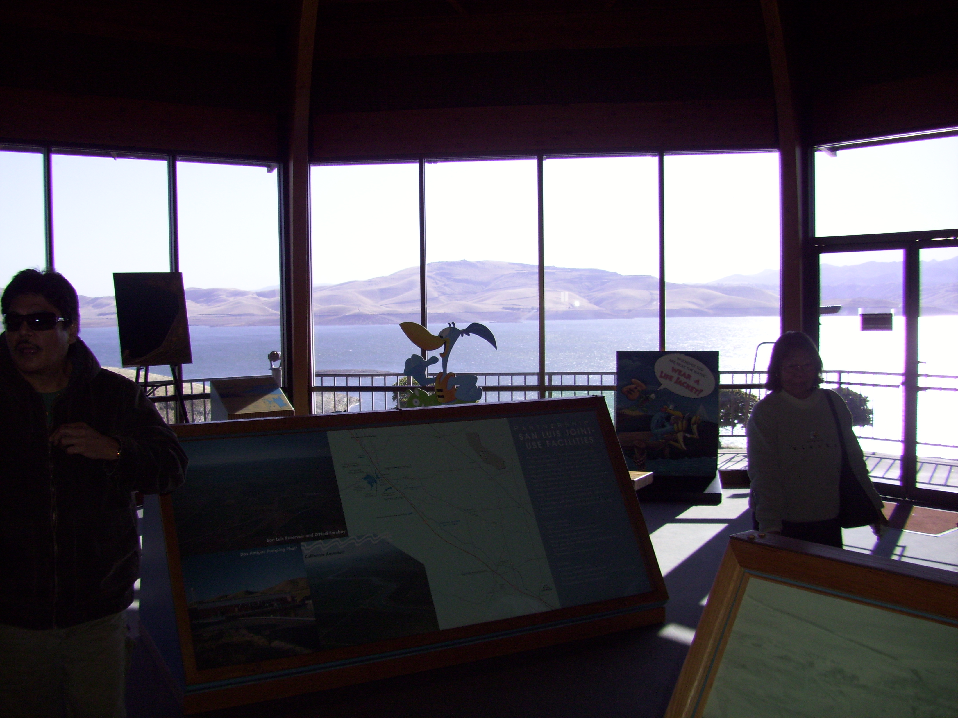
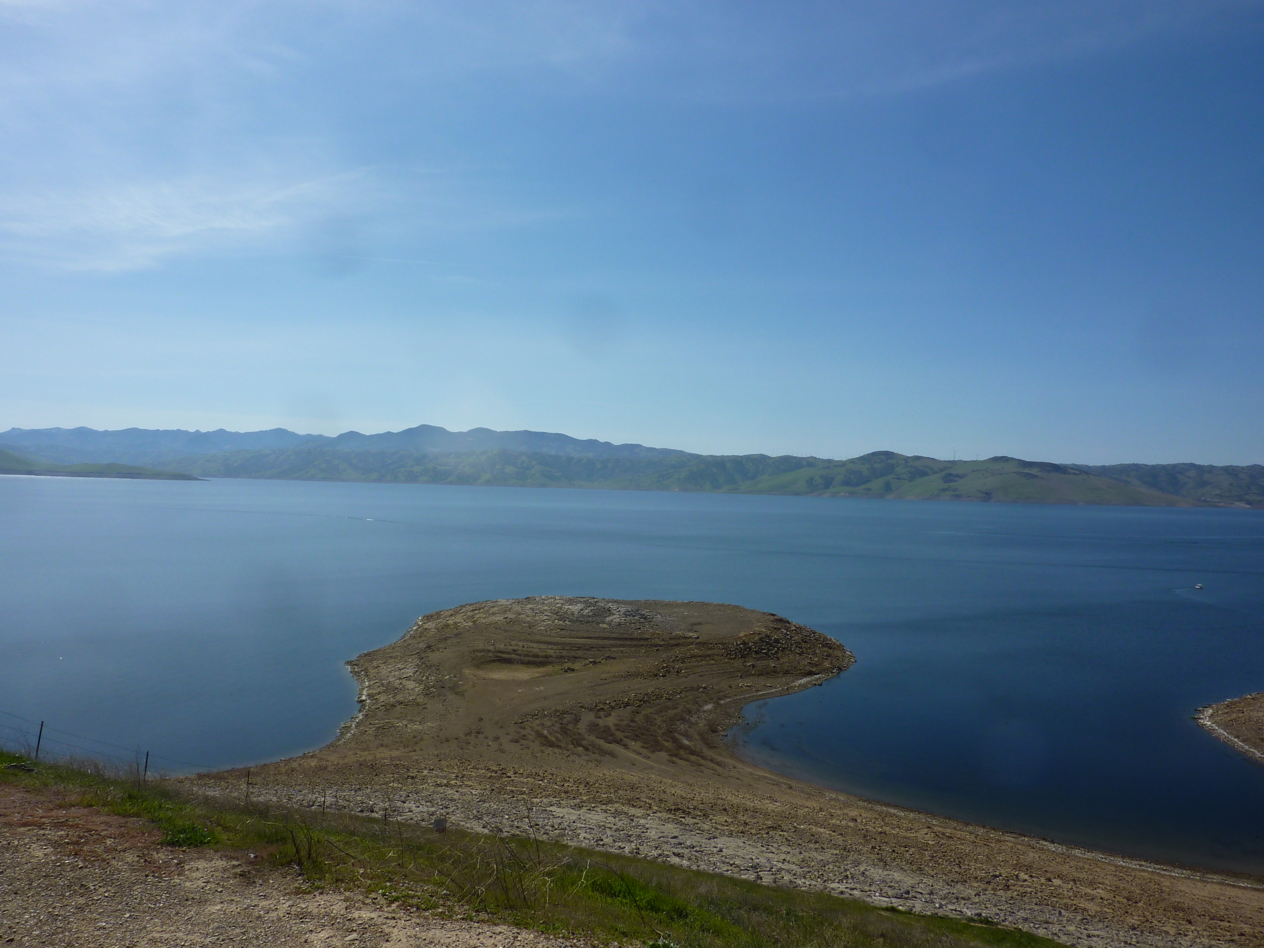
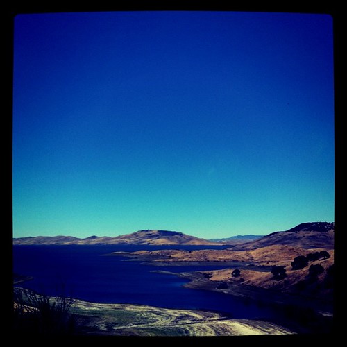
San Luis Reservoir
P1170526 View of San Luis Reservoir
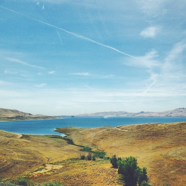
roadtrip views #california
San Luis Reservoir
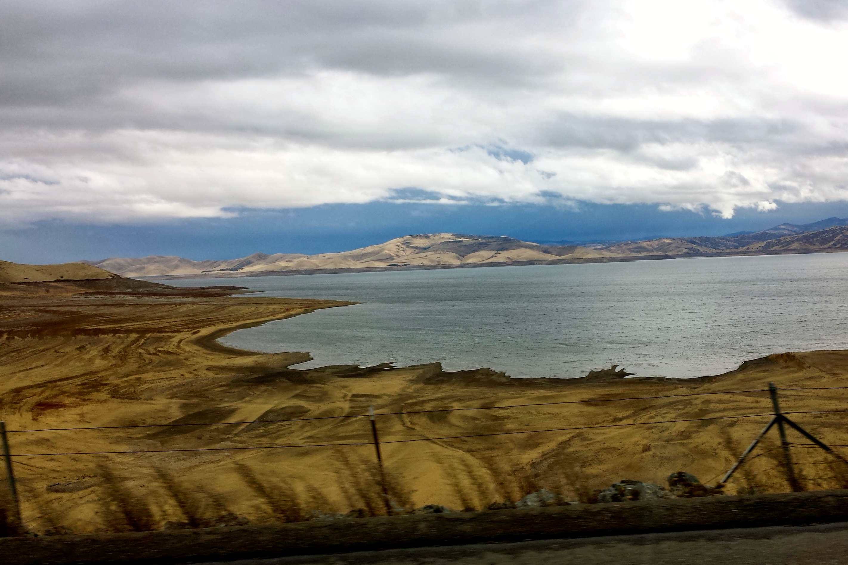
San Luis Reservoir
122113-426F
P1170527 View of San Luis Reservoir
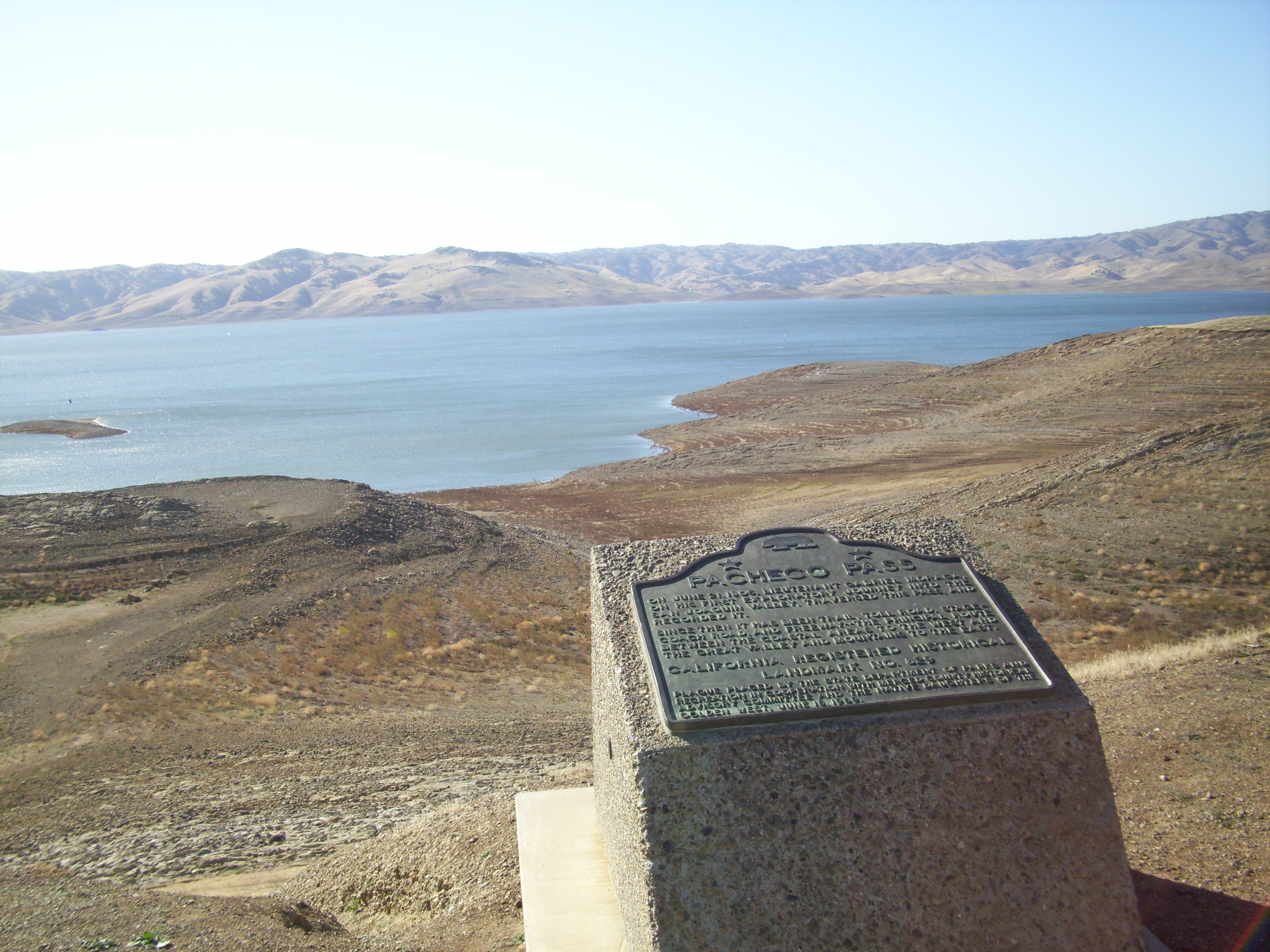
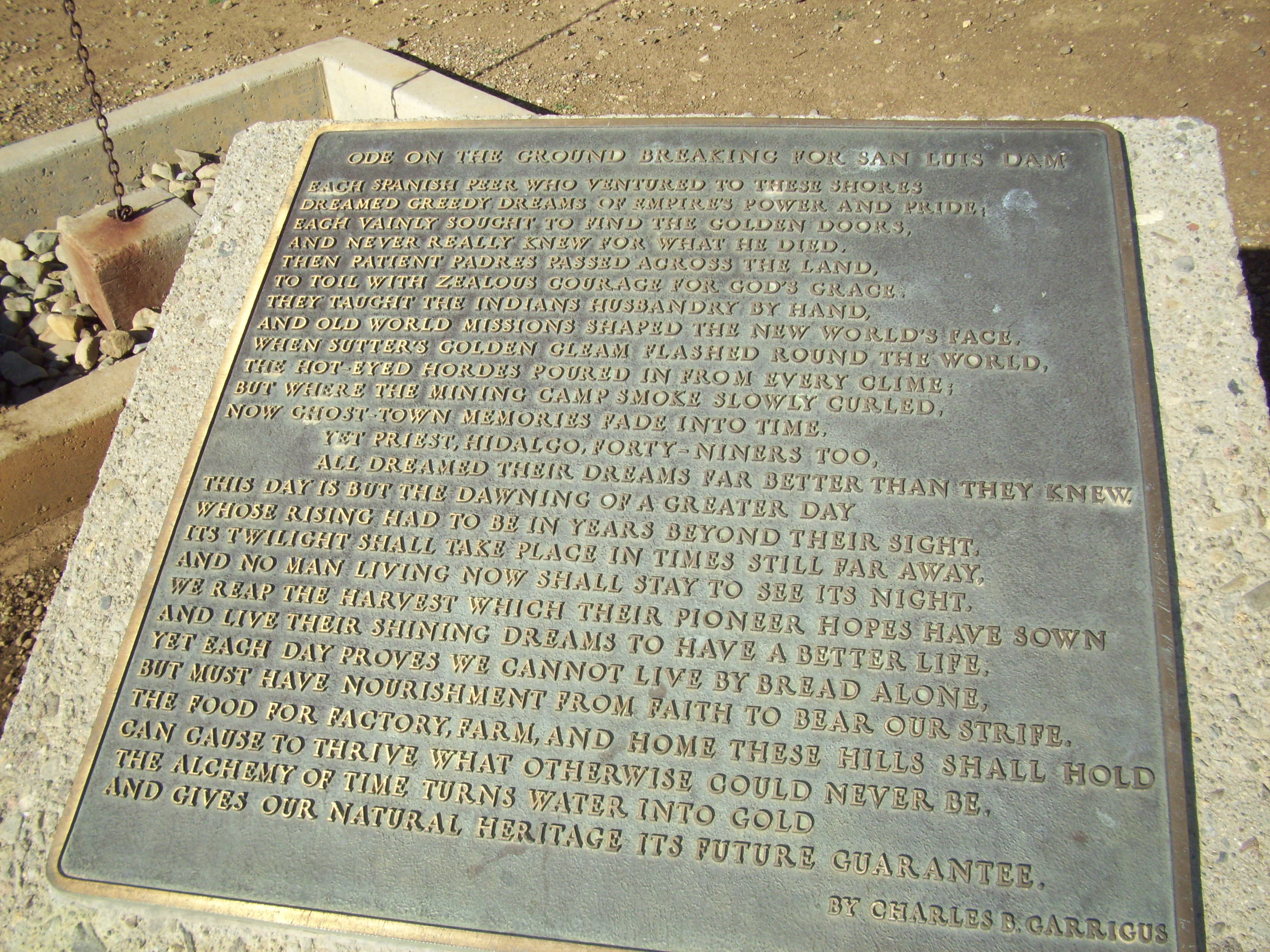
CHL# 829 PACHECO PASS
800 Miles

Pacheco Oak

California Aqueduct

#Christianlife #Christianliving #Godfirst #Godisgreat #Godisamazing #Godisawesome #BibleVerse #TrustHim #Inspiration #Trust #love #Bible #scripture #Faith #telltheworld #Verseoftheday #biblescripture #motivation #blessed #wordofgodspeak #wordofGod #tellt
Driving by

#christianlife #christianliving #godfirst #godisgreat #godisamazing #godisawesome
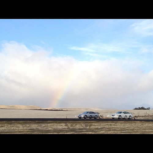
#eScape of the day: A #beautiful #rainbow in #California. #hdr #effect on the #iphone gives #meaning to the moving #cars
PhotoSafari 2015 - Day 1 - San Luis Park, CA
"The Golden State"

San Luis Reservoir
Picture 218
Picture 219

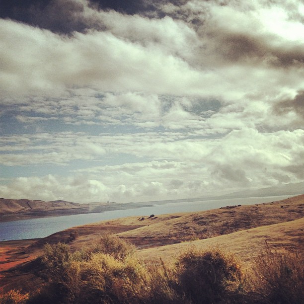
Moonrise over the San Luis Reservoir, in the Diablo range near Merced and Los Banos, California
Sunrise on the 5

San Luis Reservoir
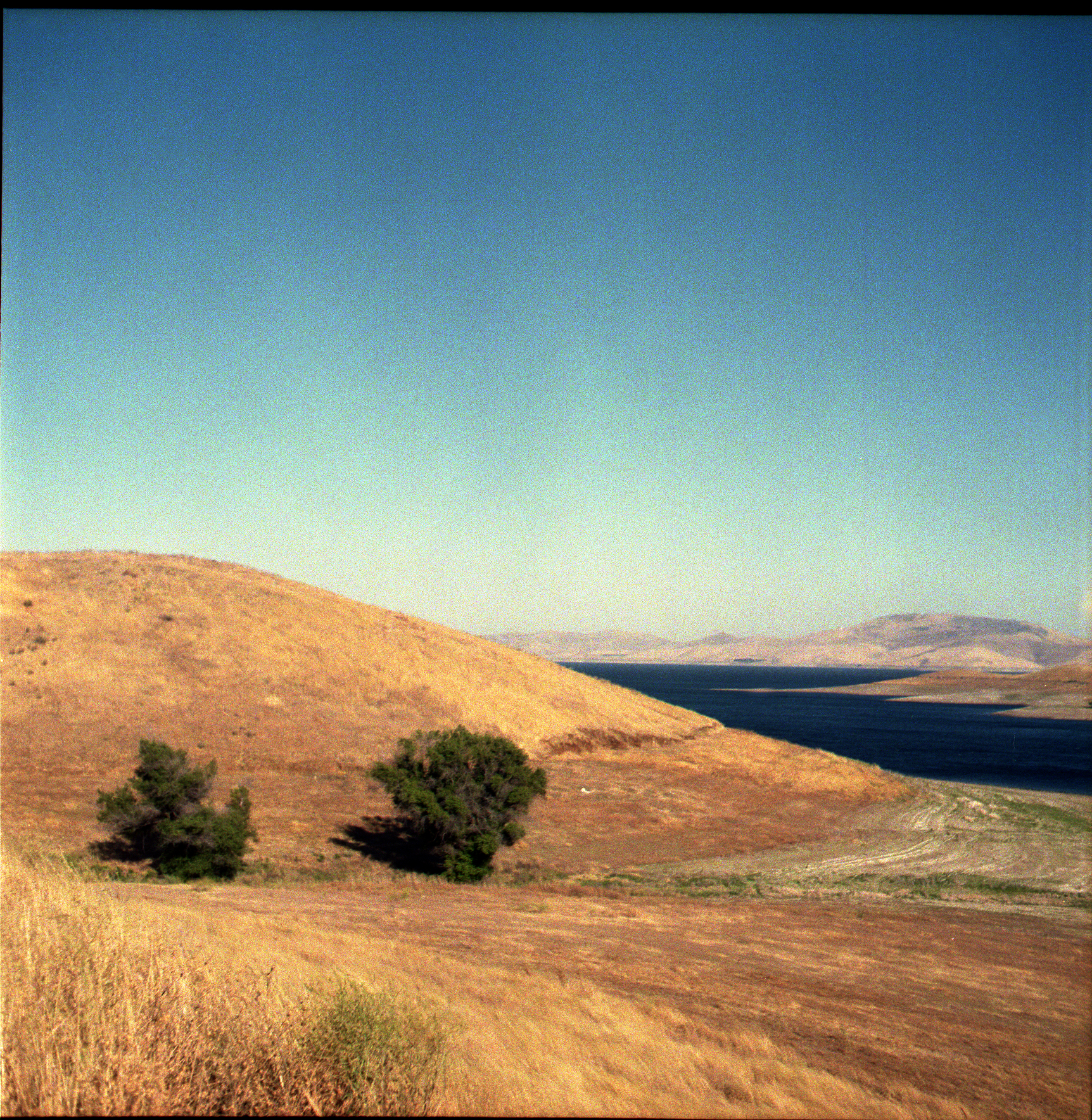
San Luis Reservor
Topographic Map of CA-33, Gustine, CA, USA
Find elevation by address:

Places near CA-33, Gustine, CA, USA:
California 152
9968 Ingomar Rd
12045 Ingomar Grade
Ingomar Rd, Gustine, CA, USA
Ingomar
Gustine
Newman
437 Bobolink Ct
861 Fig Ln
420 Parliament Way
River Rd, Newman, CA, USA
Anderson Rd, Newman, CA, USA
6575 Mitchell Rd
Crows Landing
Quien Sabe Rd, Tres Pinos, CA, USA
CA-33, Patterson, CA, USA
12280 Pacheco Pass Hwy
San Jose-sunnyvale-santa Clara, Ca
Casa De Fruta
Diablo Grande Parkway
Recent Searches:
- Elevation of Congressional Dr, Stevensville, MD, USA
- Elevation of Bellview Rd, McLean, VA, USA
- Elevation of Stage Island Rd, Chatham, MA, USA
- Elevation of Shibuya Scramble Crossing, 21 Udagawacho, Shibuya City, Tokyo -, Japan
- Elevation of Jadagoniai, Kaunas District Municipality, Lithuania
- Elevation of Pagonija rock, Kranto 7-oji g. 8"N, Kaunas, Lithuania
- Elevation of Co Rd 87, Jamestown, CO, USA
- Elevation of Tenjo, Cundinamarca, Colombia
- Elevation of Côte-des-Neiges, Montreal, QC H4A 3J6, Canada
- Elevation of Bobcat Dr, Helena, MT, USA