Elevation of Gustine, CA, USA
Location: United States > California > Merced County >
Longitude: -120.99881
Latitude: 37.2577171
Elevation: 32m / 105feet
Barometric Pressure: 101KPa
Elevation Map:
Satellite Map:
Related Photos:
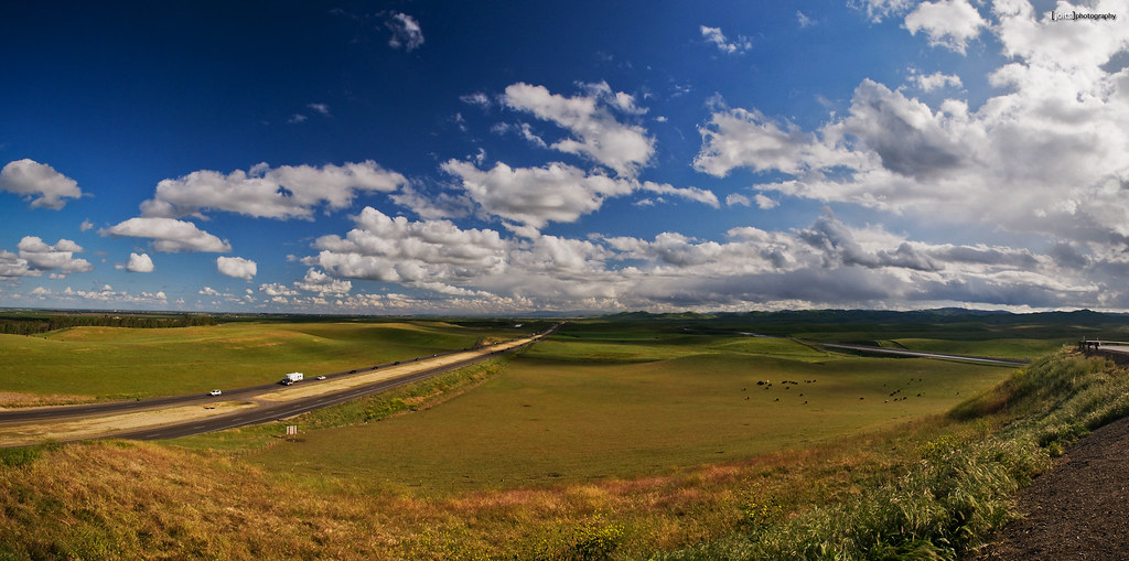
orestimba lookout
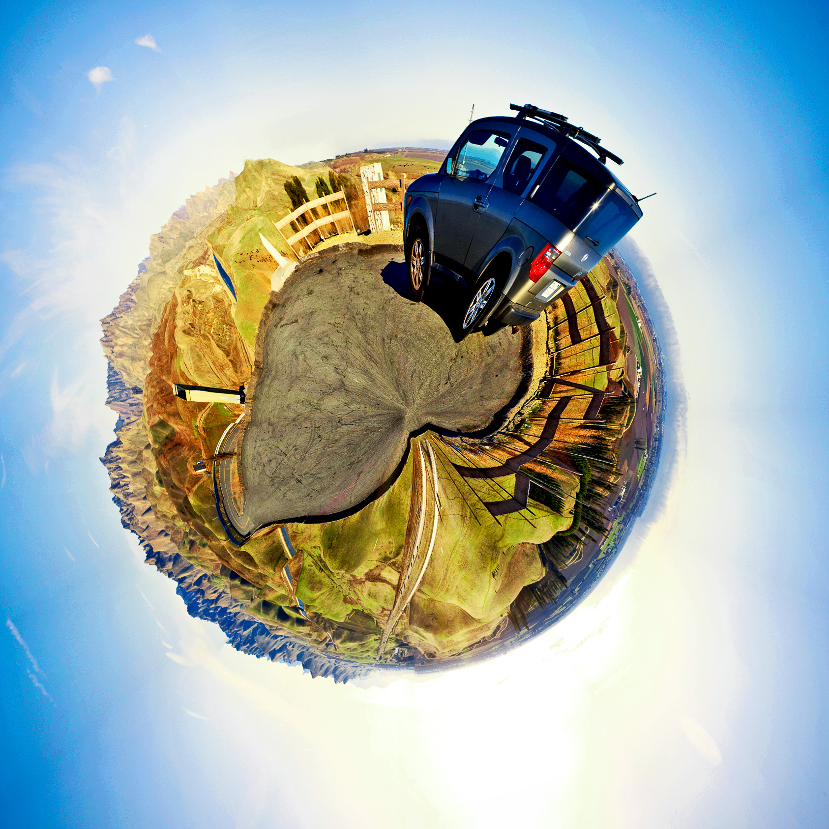
Planet Element
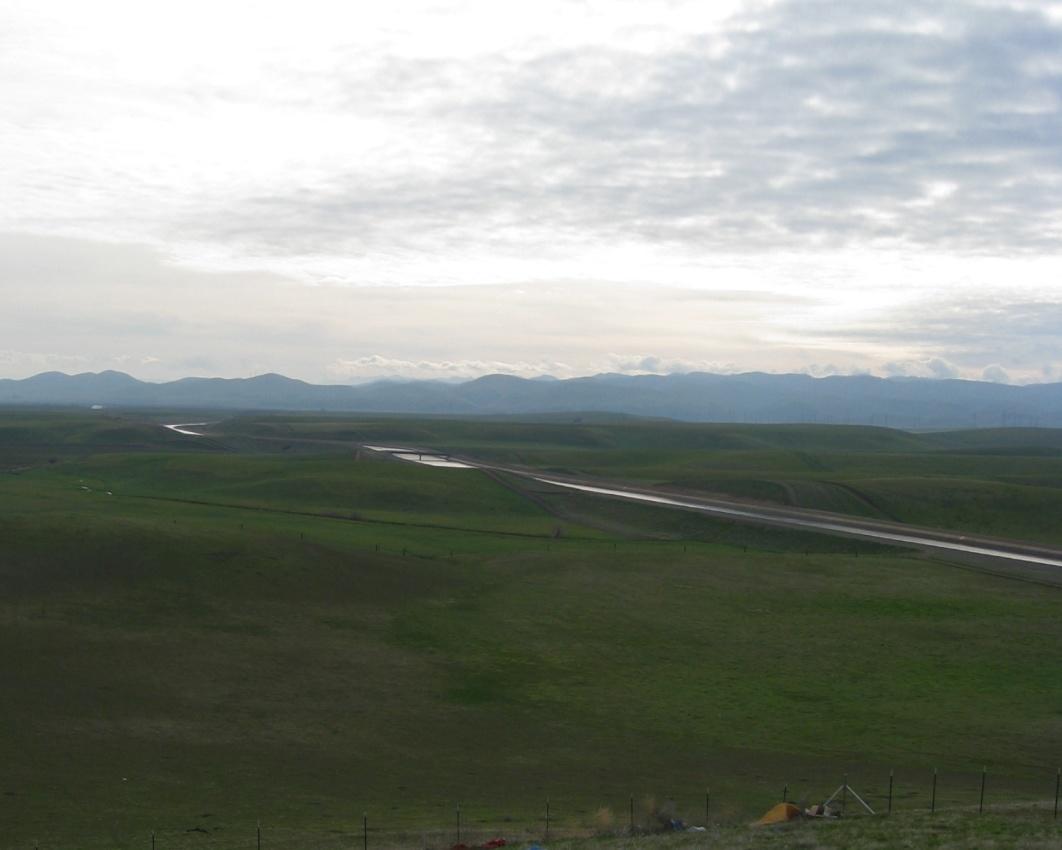
Central Valley California Aqueduct 1600a

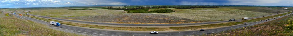
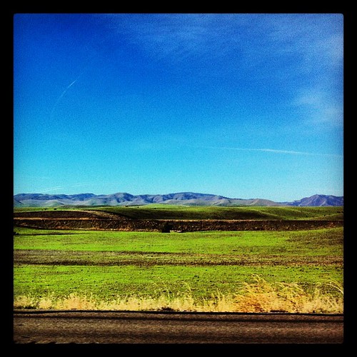
Check out that view
around the storm
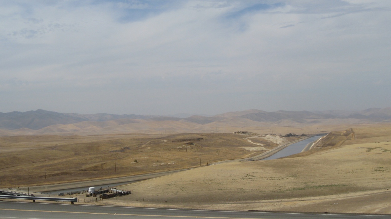
Central Valley California Aqueduct 1450a

they dreamed dreams. maybe shouldn't have.
December 7, 2012
Time travel

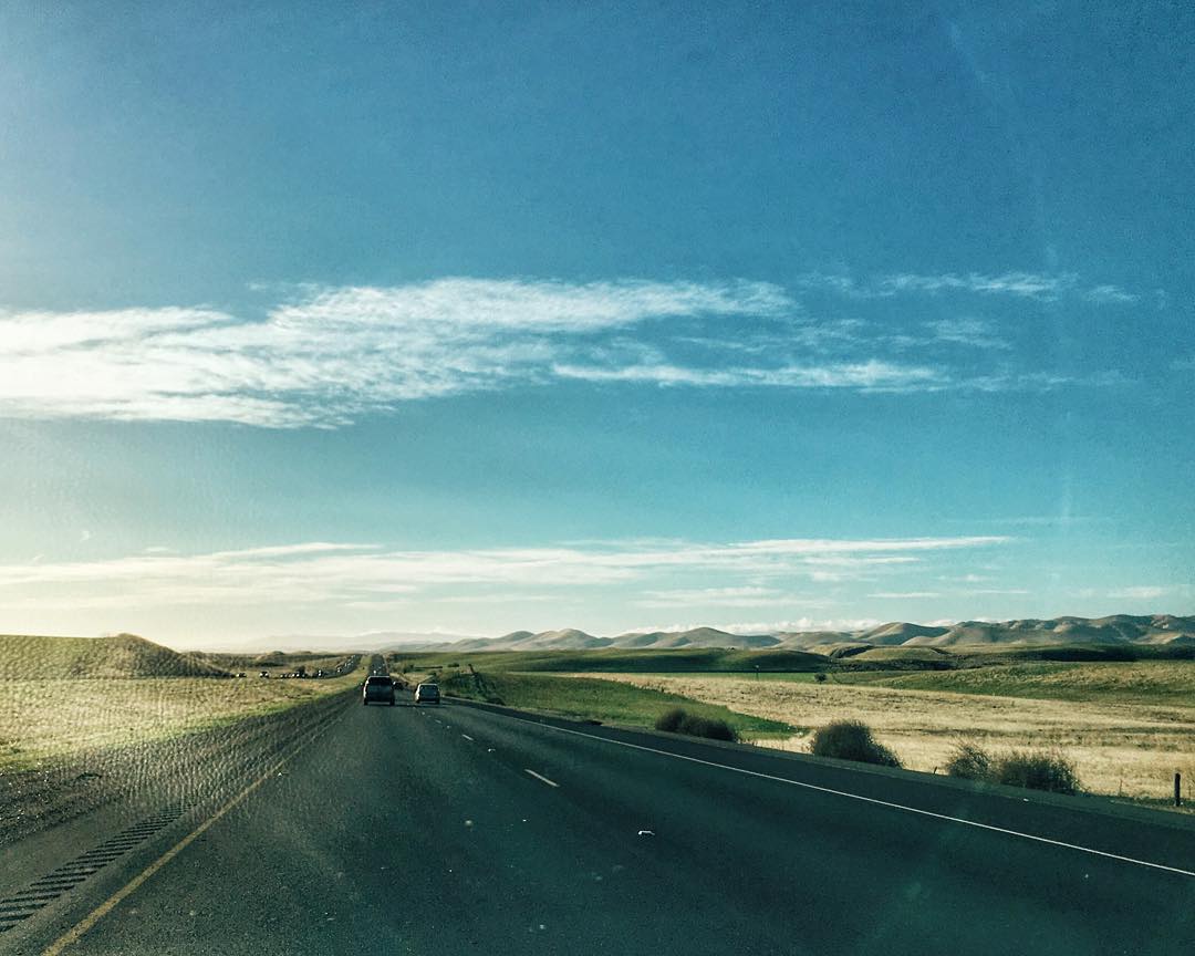
Central Valley rest stop

Sun-reeds
#californialap

California Fram-3145

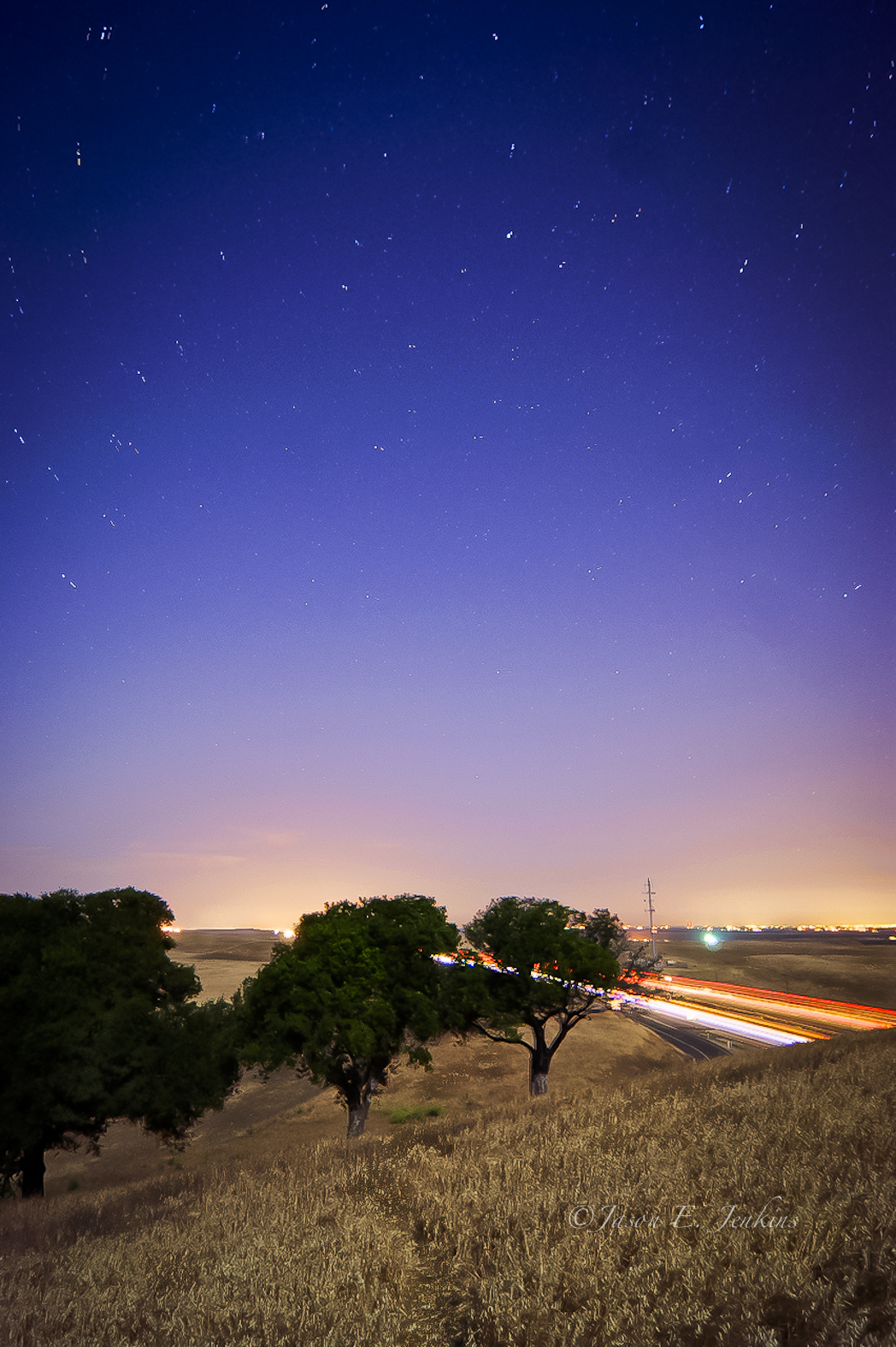
The last of the #sunlight on the #roadtrip and still 280miles to go. #sunset #sky #roadsideattraction #landscape

Almost home
San Luis Wildlife Preserve
California Aqueduct - Central Valley
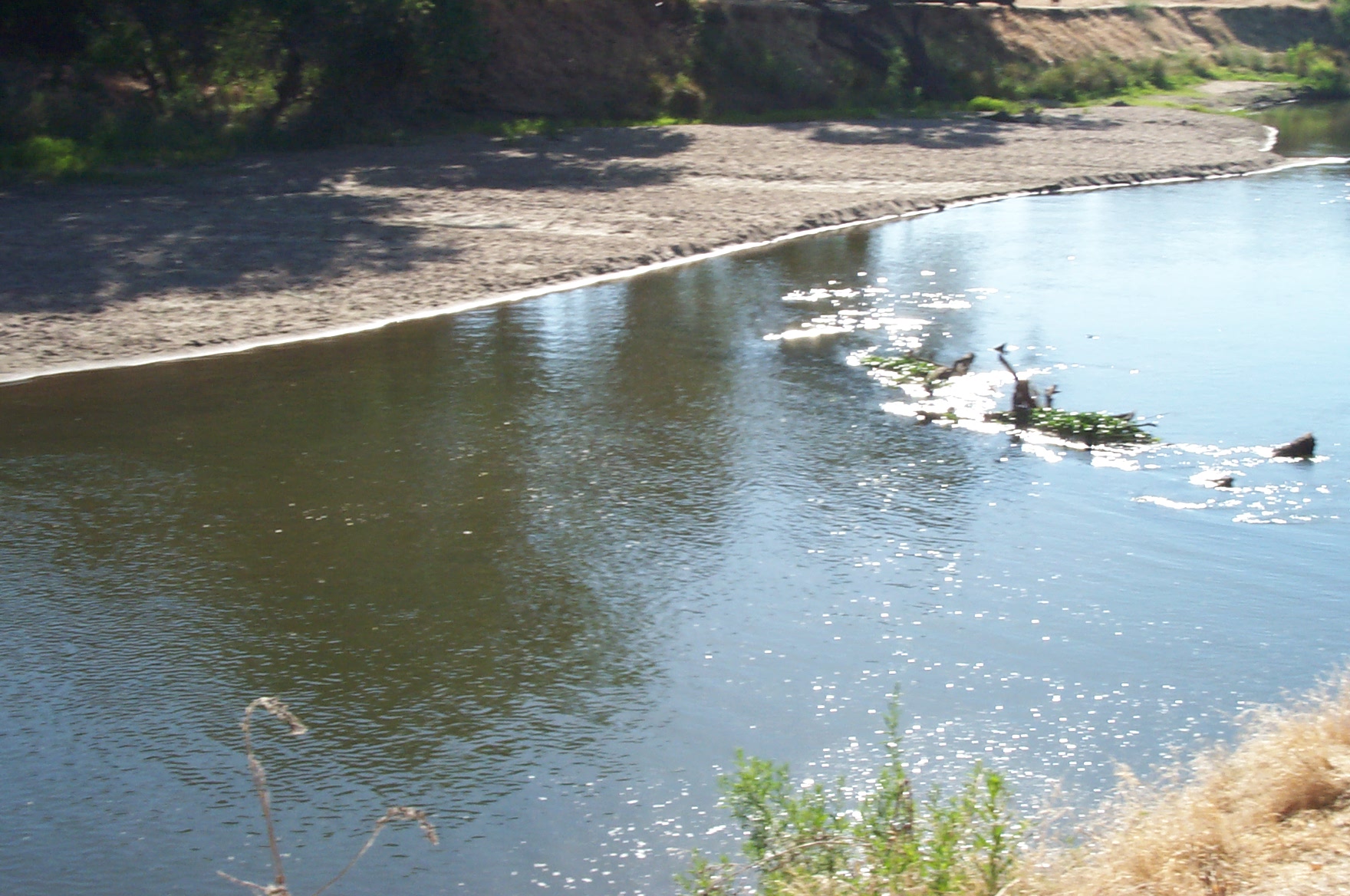
San Joaquin River
California Aqueduct from the Orestemba Vista Point
20040623_Hatfield_Cows-045

Interstate 5 Southbound Vista Point
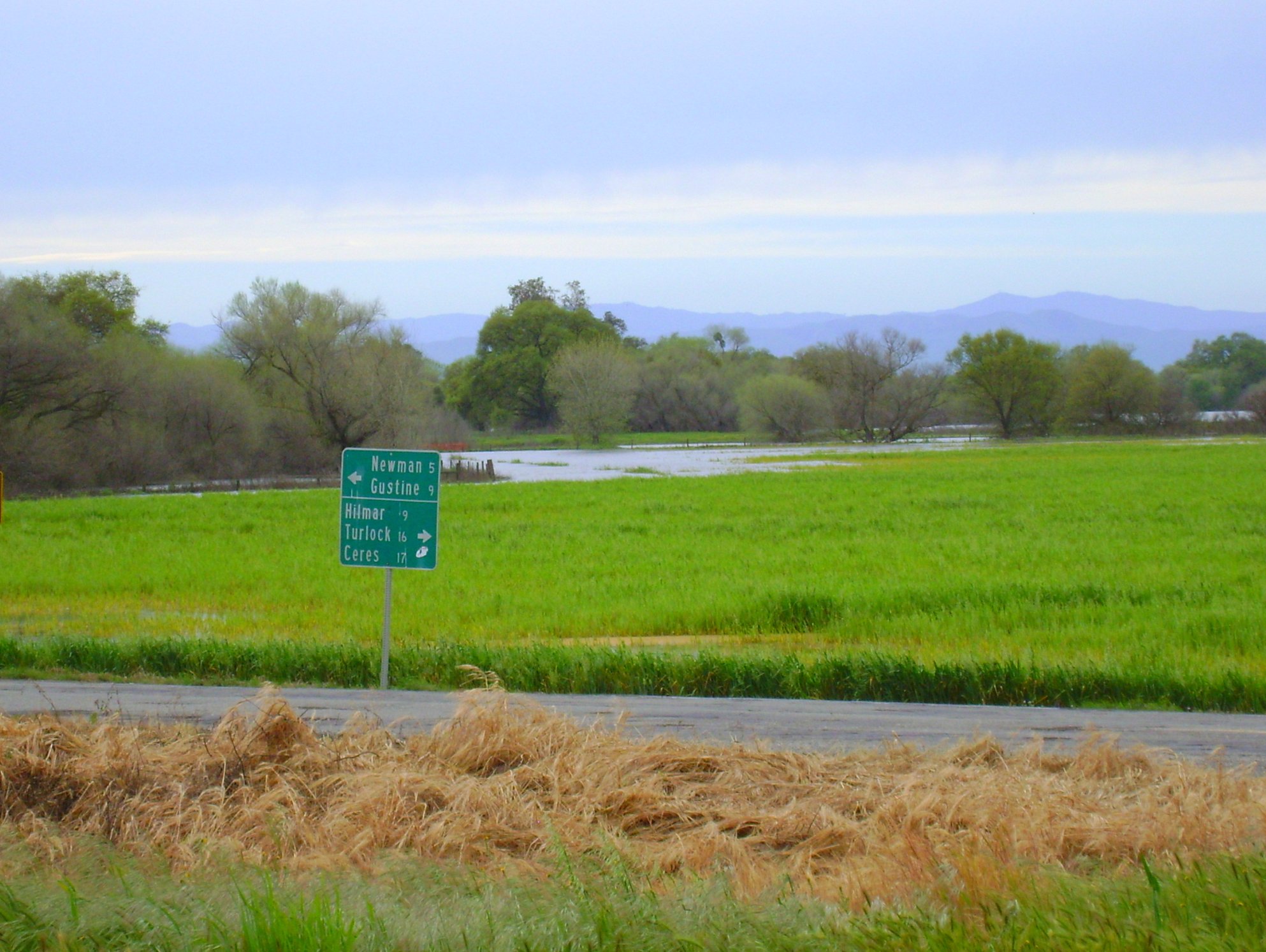
San Joaquin River overflow
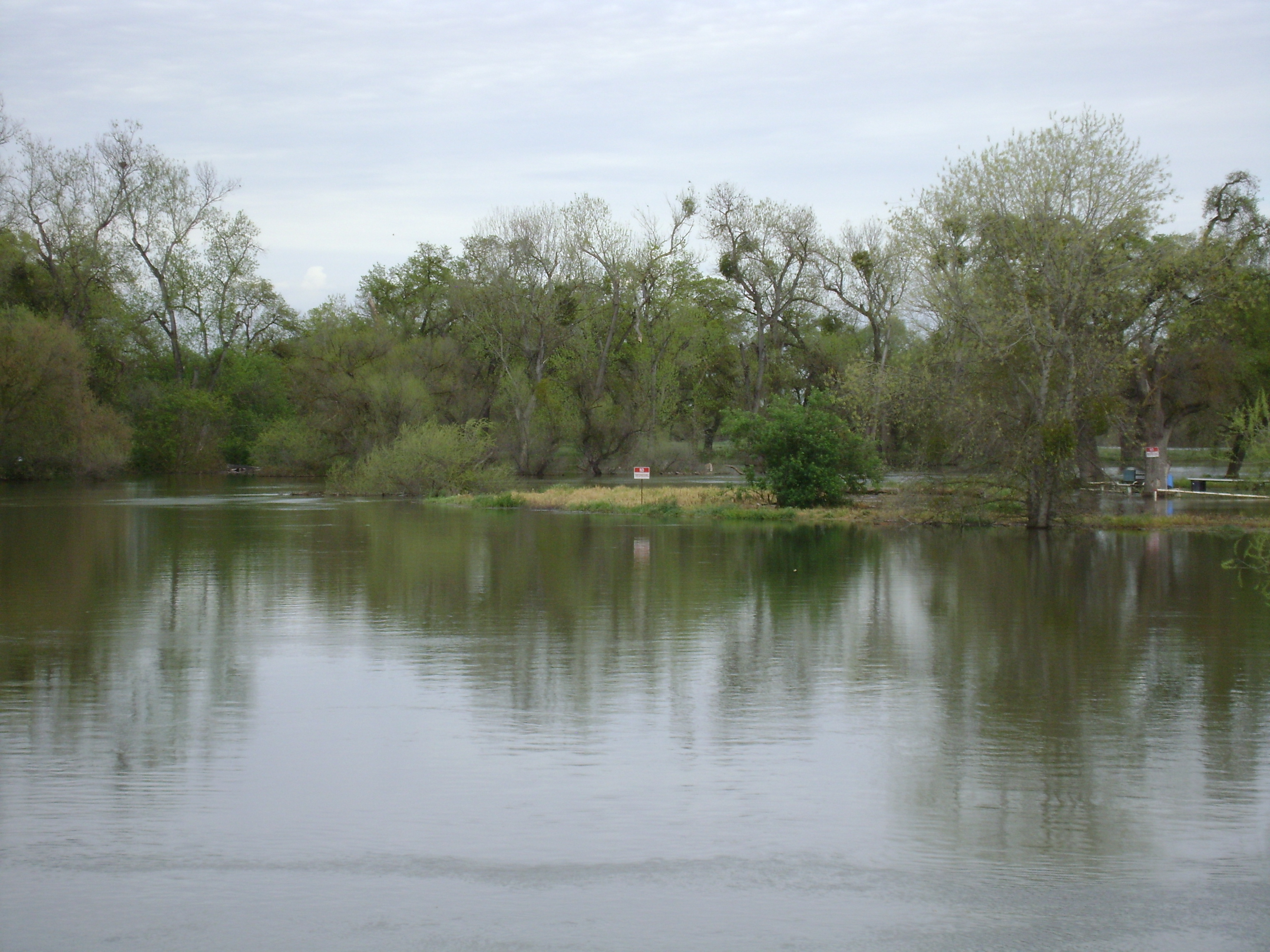
Merced River spilling it's banks.

Vista Point
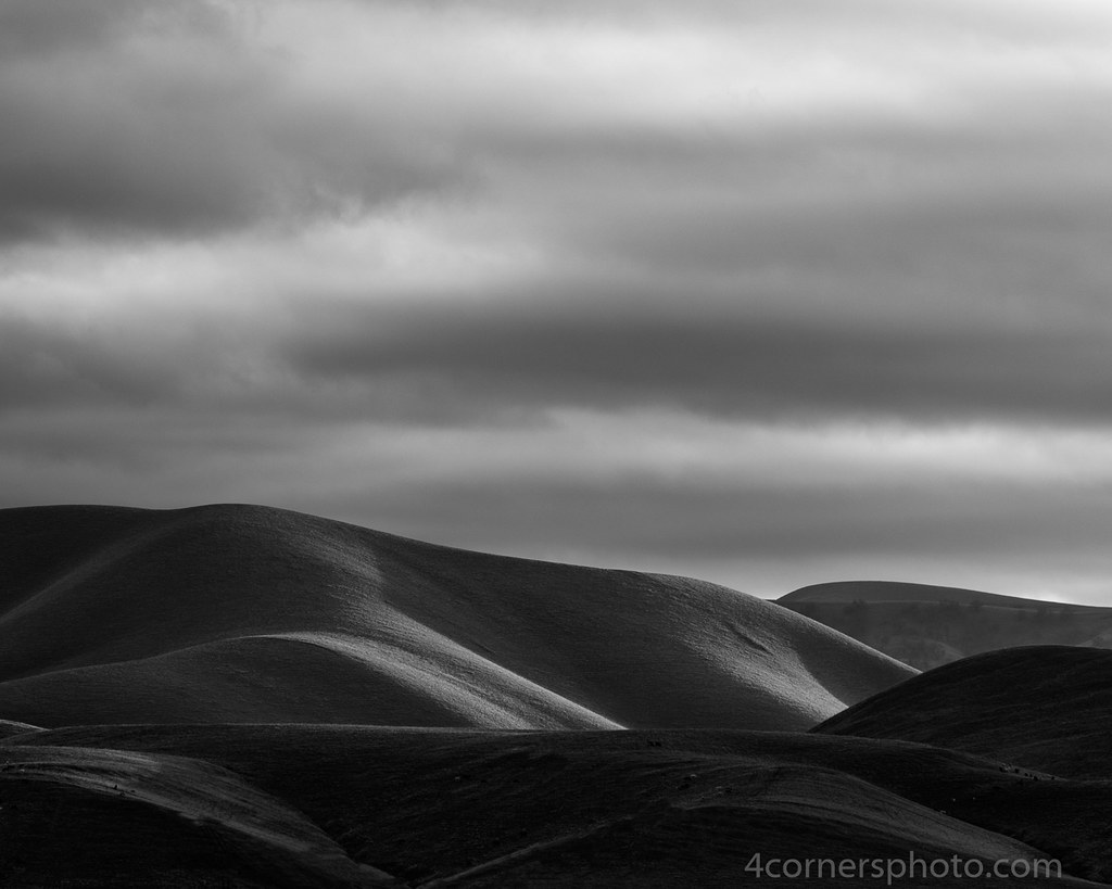
Winter Shadows, Diablo Range, Merced County, CA
Black Tailed Deer
Valentines Campout 2016
Topographic Map of Gustine, CA, USA
Find elevation by address:

Places in Gustine, CA, USA:
Places near Gustine, CA, USA:
Newman
437 Bobolink Ct
420 Parliament Way
861 Fig Ln
Ingomar
Ingomar Rd, Gustine, CA, USA
River Rd, Newman, CA, USA
Anderson Rd, Newman, CA, USA
9968 Ingomar Rd
6575 Mitchell Rd
Crows Landing
12045 Ingomar Grade
CA-33, Gustine, CA, USA
CA-33, Patterson, CA, USA
California 152
S Central Ave, Turlock, CA, USA
Patterson
Modesto, Ca
Stanislaus County
Diablo Grande Parkway
Recent Searches:
- Elevation of Zimmer Trail, Pennsylvania, USA
- Elevation of 87 Kilmartin Ave, Bristol, CT, USA
- Elevation of Honghe National Nature Reserve, QP95+PJP, Tongjiang, Heilongjiang, Jiamusi, Heilongjiang, China
- Elevation of Hercules Dr, Colorado Springs, CO, USA
- Elevation of Szlak pieszy czarny, Poland
- Elevation of Griffing Blvd, Biscayne Park, FL, USA
- Elevation of Kreuzburger Weg 13, Düsseldorf, Germany
- Elevation of Gateway Blvd SE, Canton, OH, USA
- Elevation of East W.T. Harris Boulevard, E W.T. Harris Blvd, Charlotte, NC, USA
- Elevation of West Sugar Creek, Charlotte, NC, USA