Elevation map of Butte County, SD, USA
Location: United States > South Dakota >
Longitude: -103.70089
Latitude: 44.9251992
Elevation: 942m / 3091feet
Barometric Pressure: 91KPa
Elevation Map:
Satellite Map:
Related Photos:
The Eastern US
Okay, THAT's the real center...

Moto West 2012

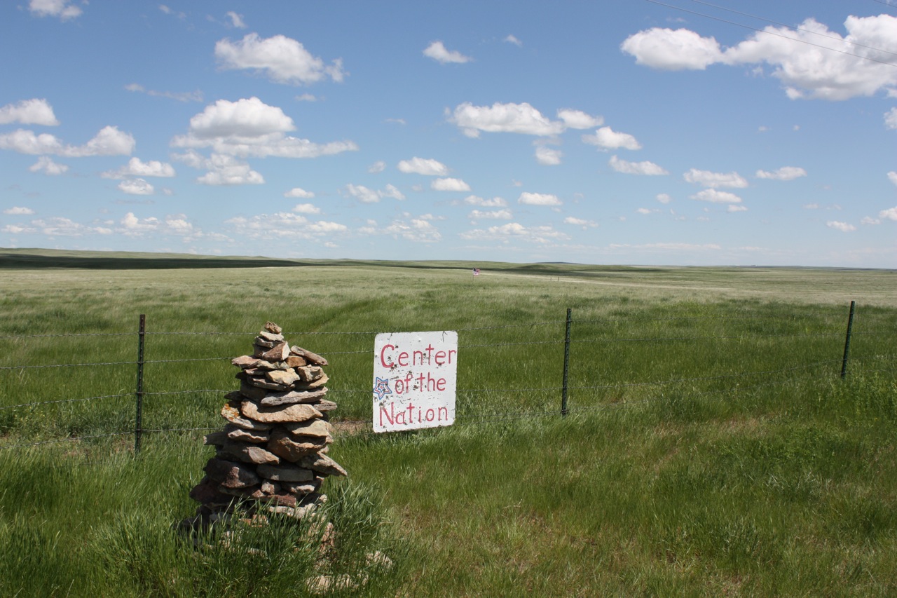
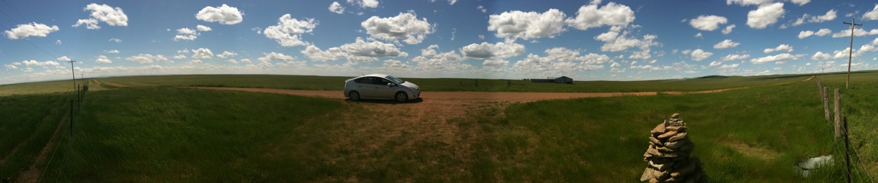
Center of the Nation
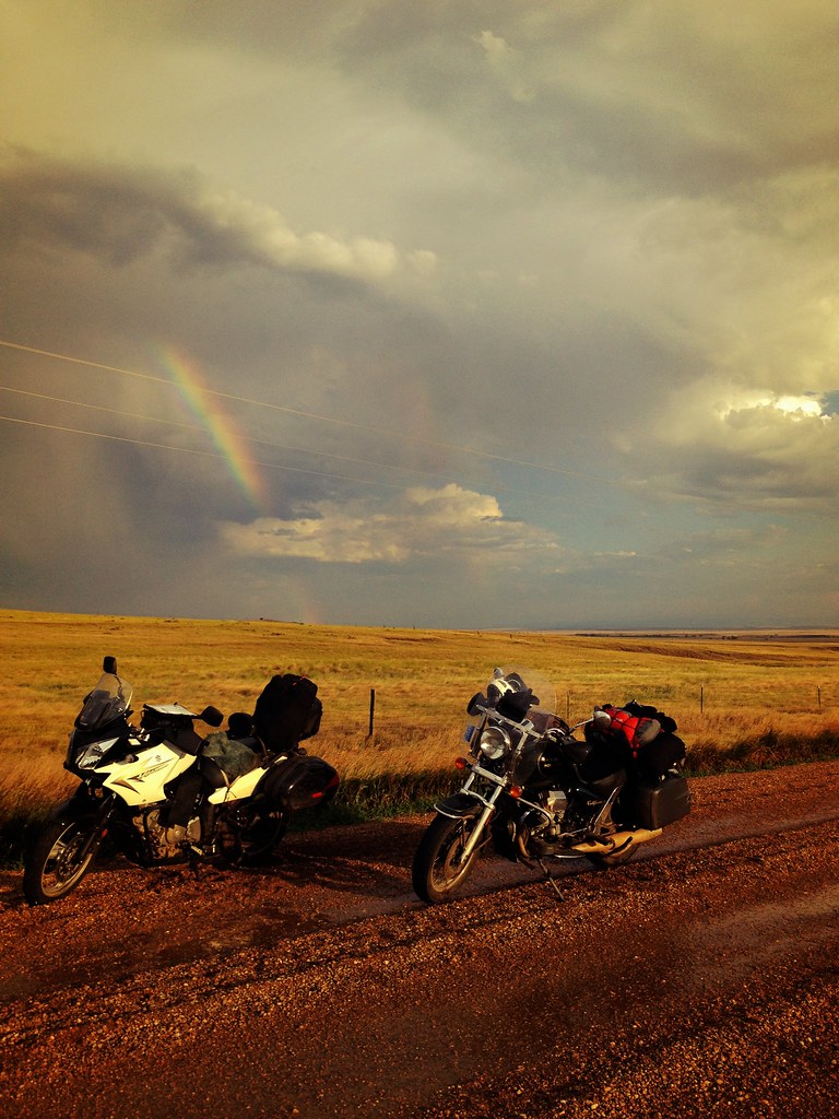
Moto West 2012

Moto West 2012
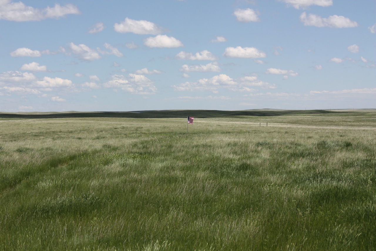
The Center of the United States
The Western US
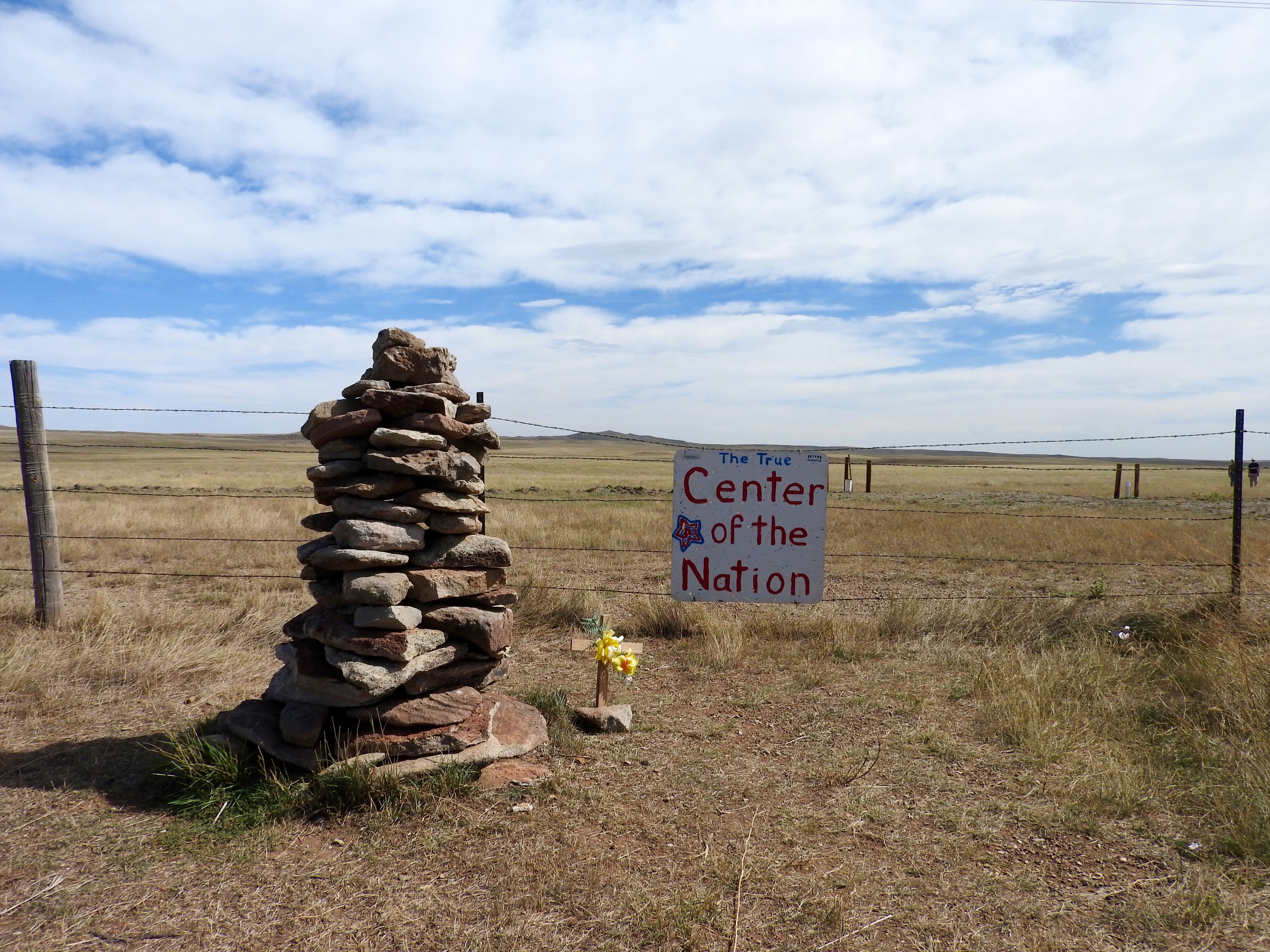
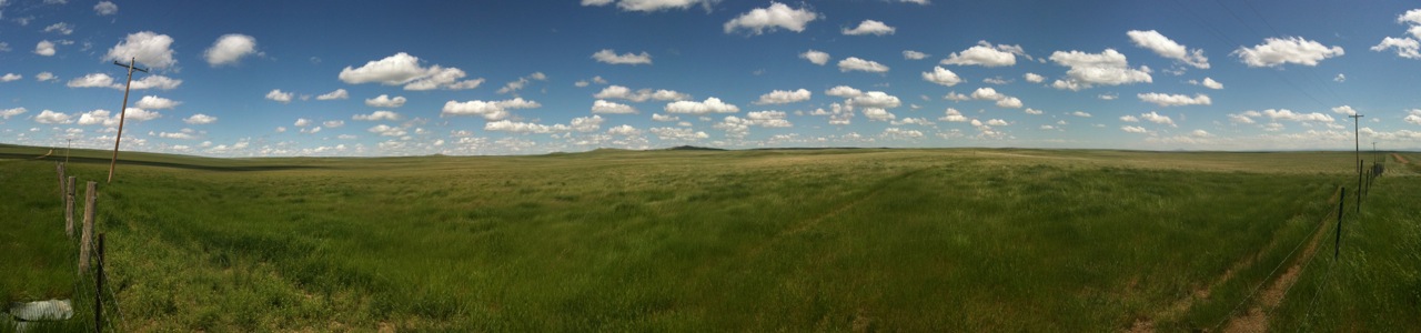
Center of the Nation
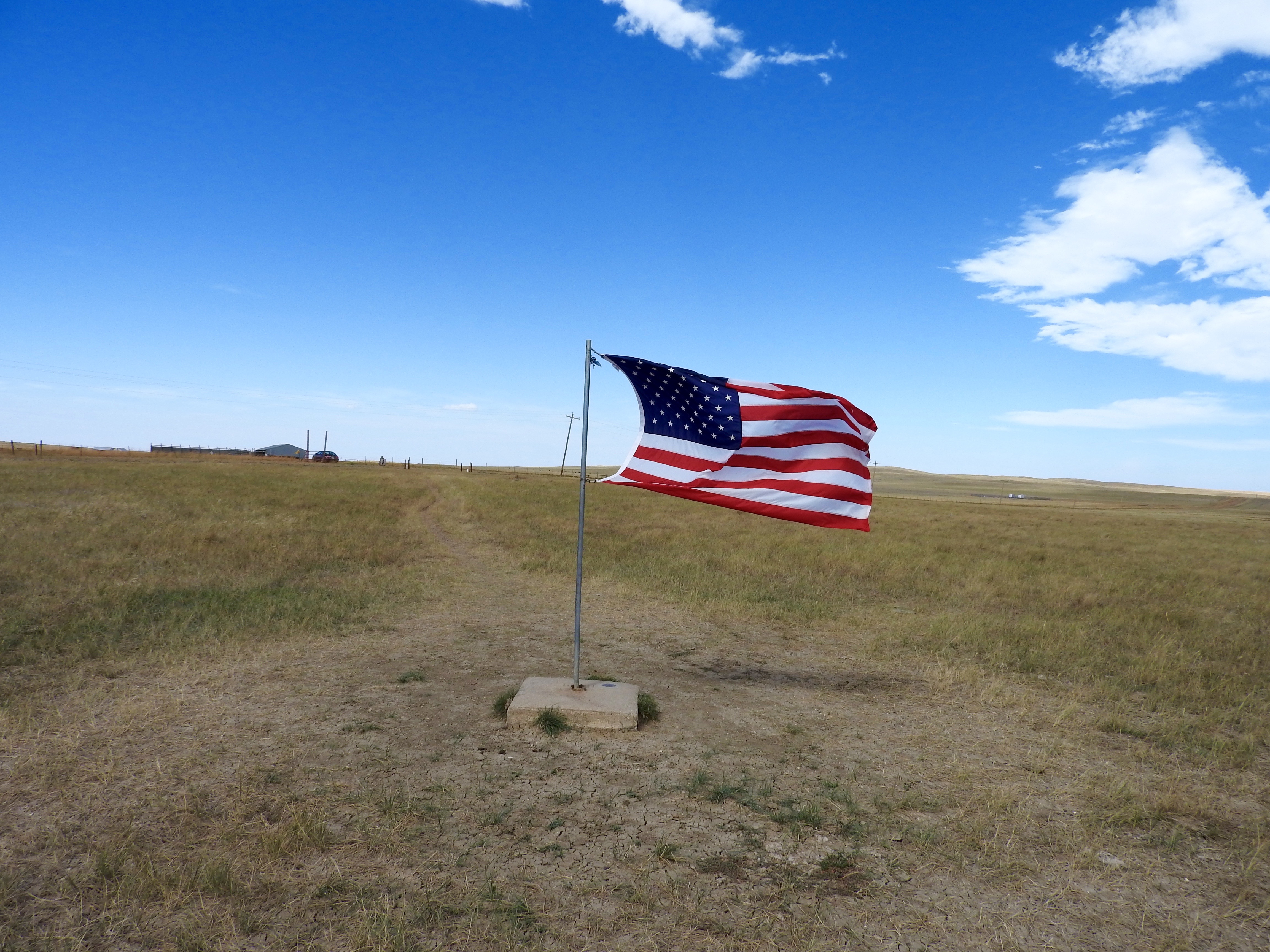
Center of the Nation
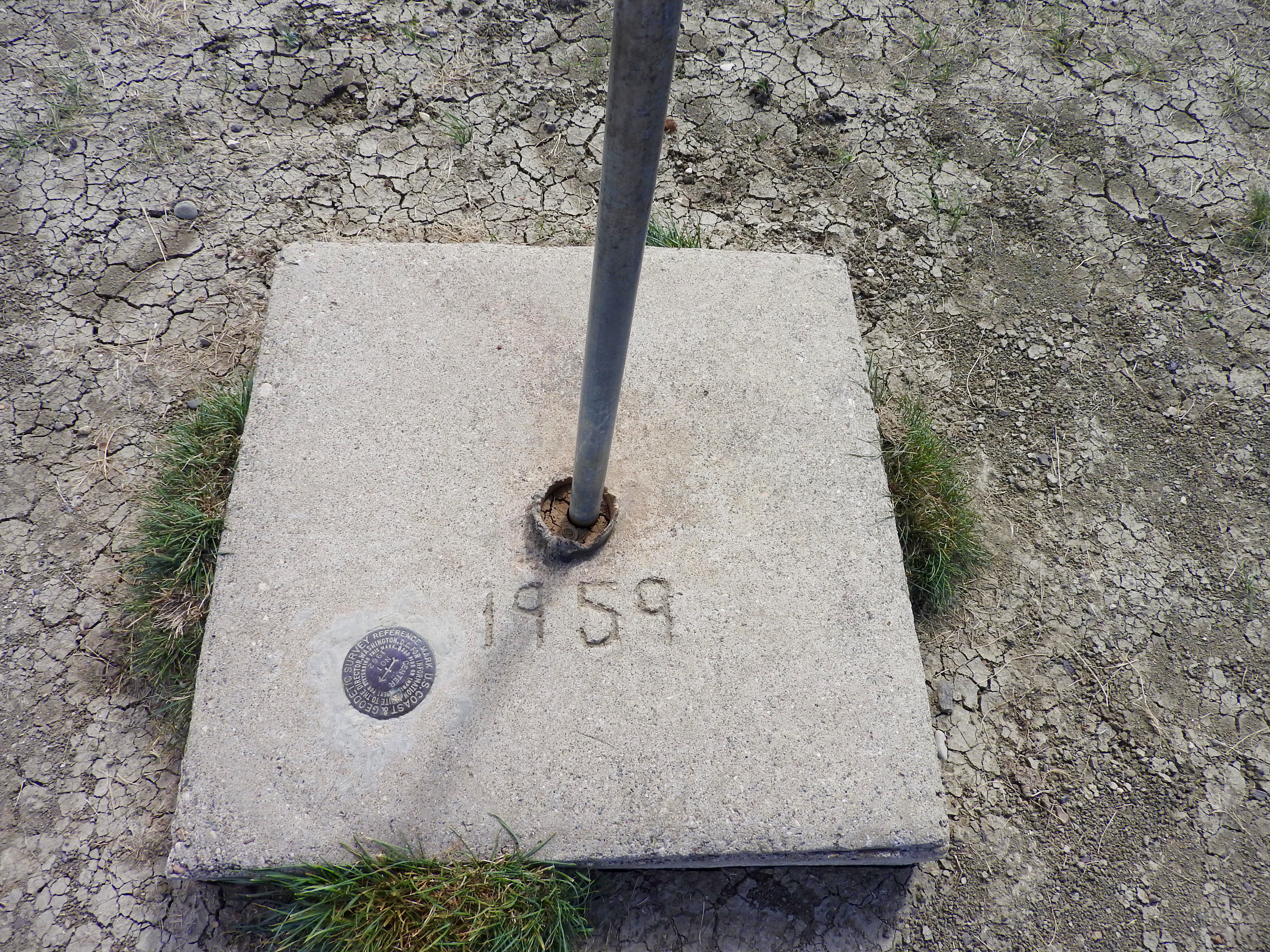
Center of the Nation
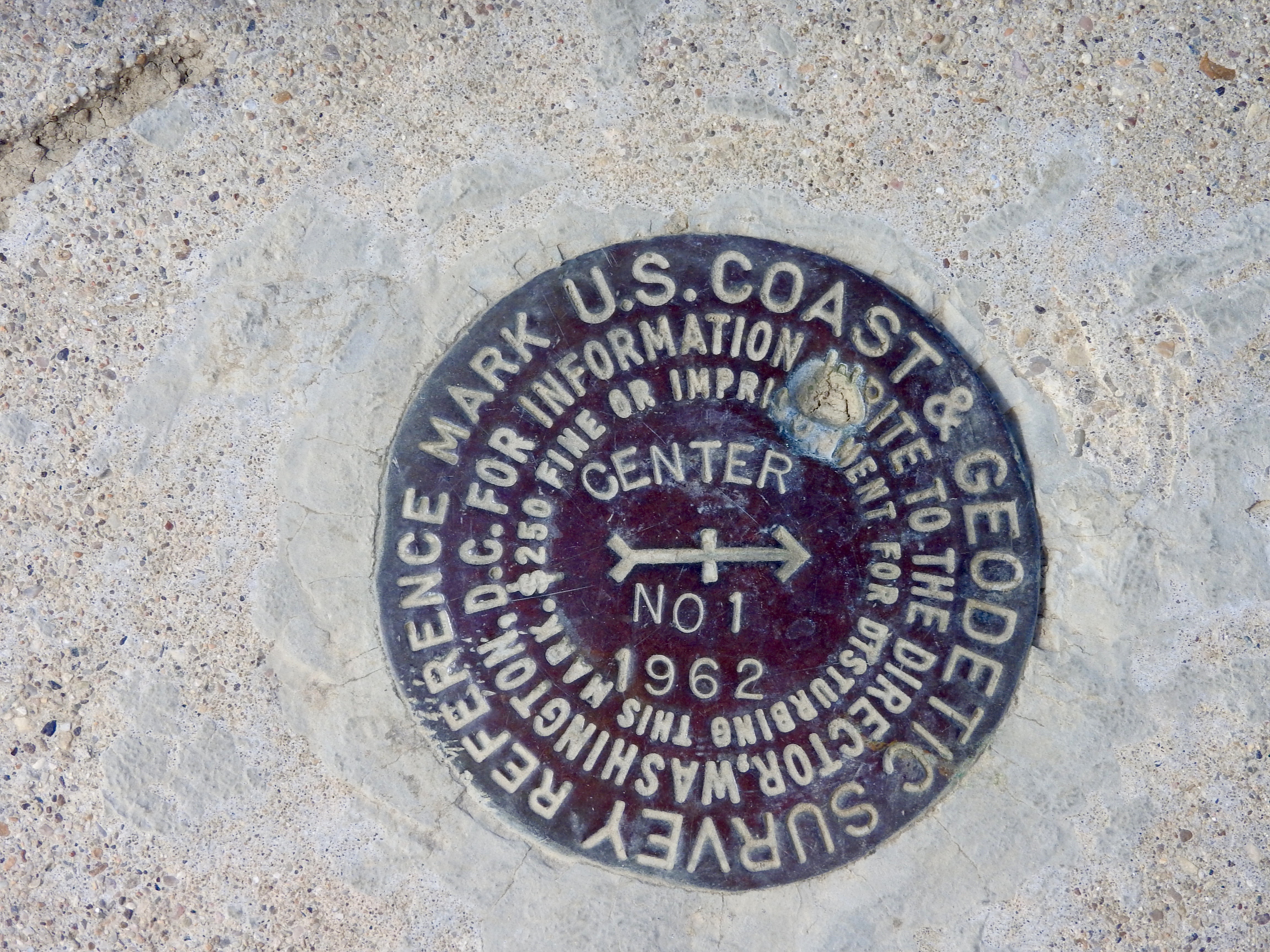
Center of the Nation
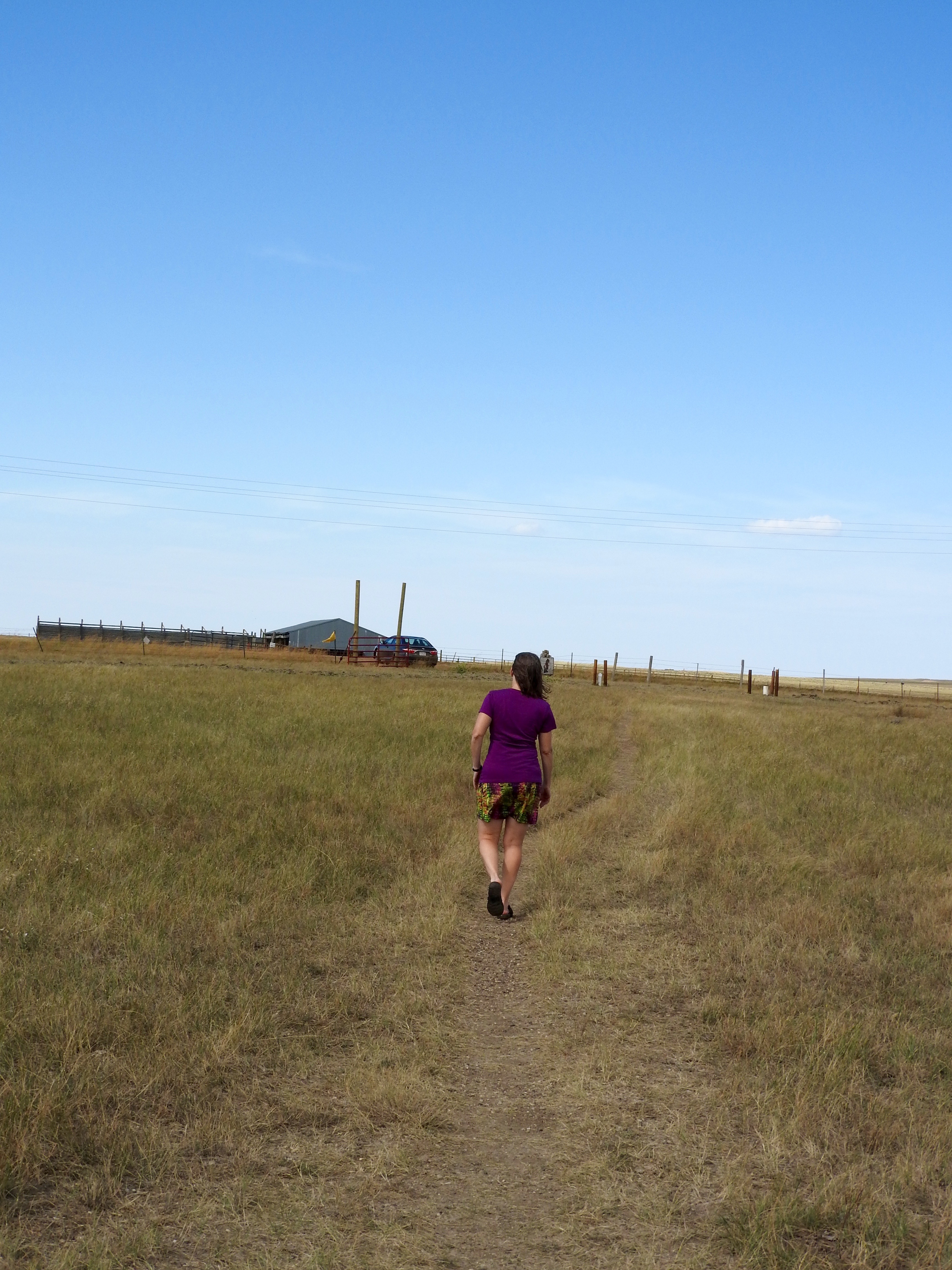
Center of the Nation
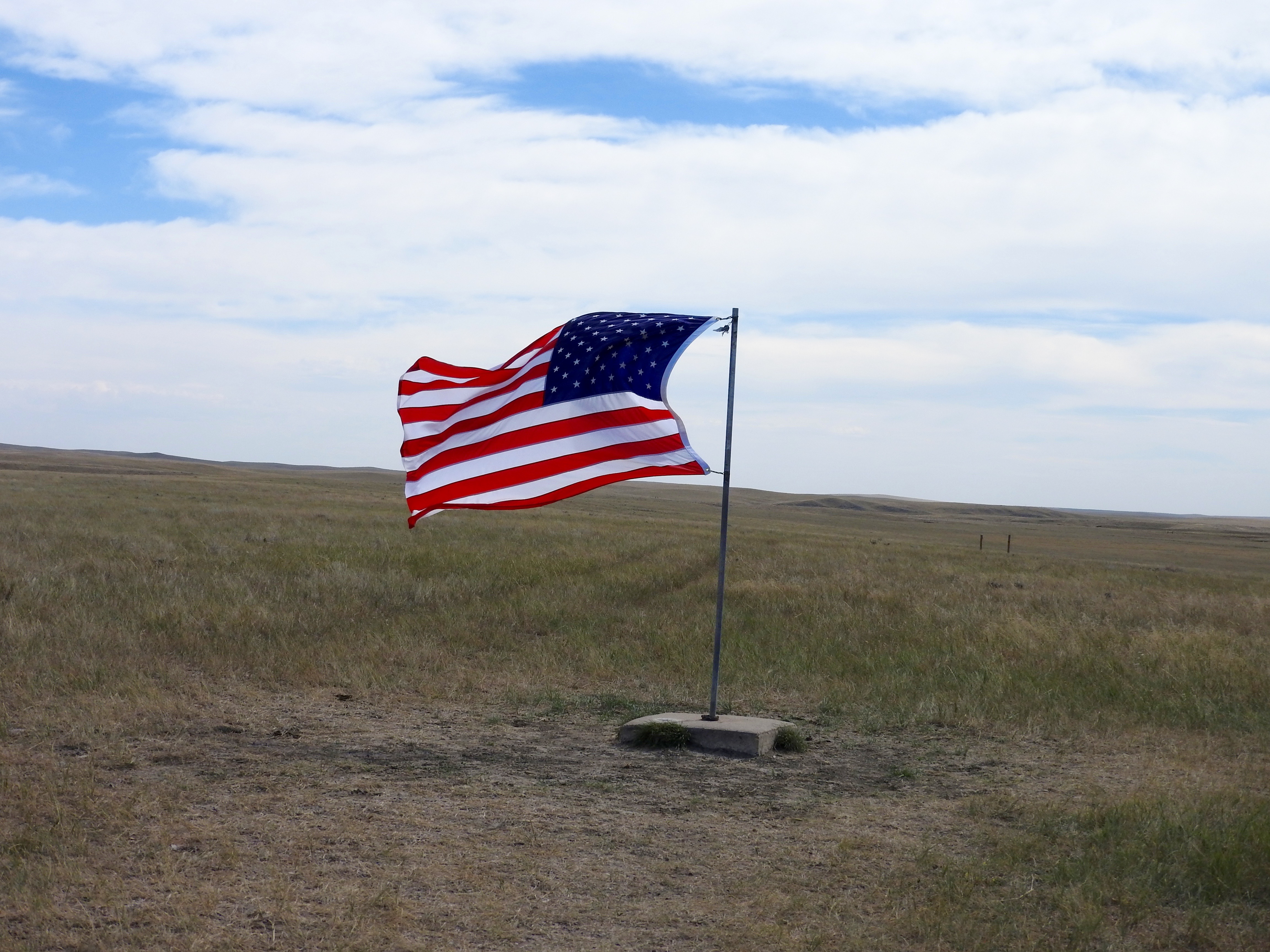
Center of the Nation
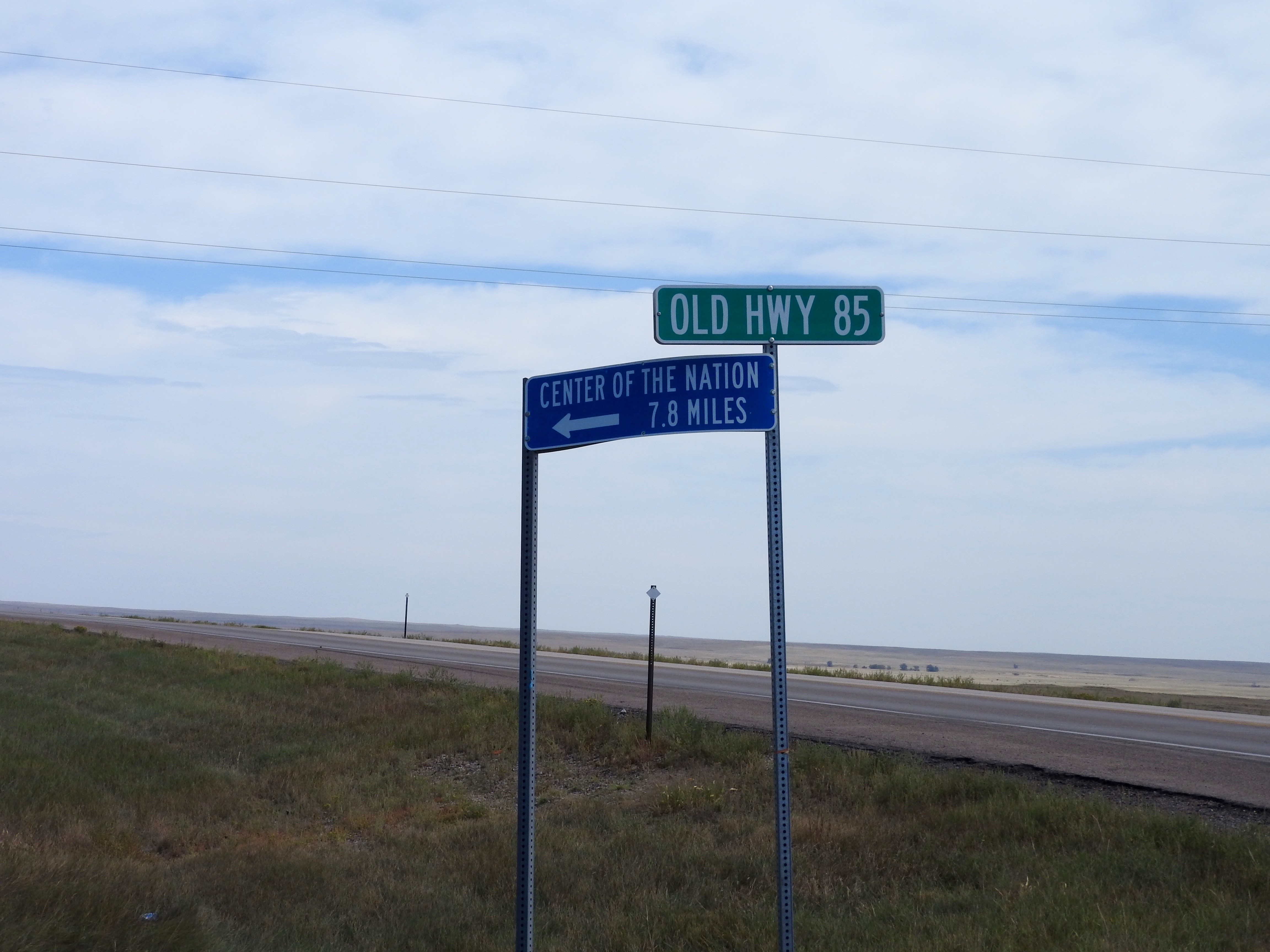
Center of the Nation
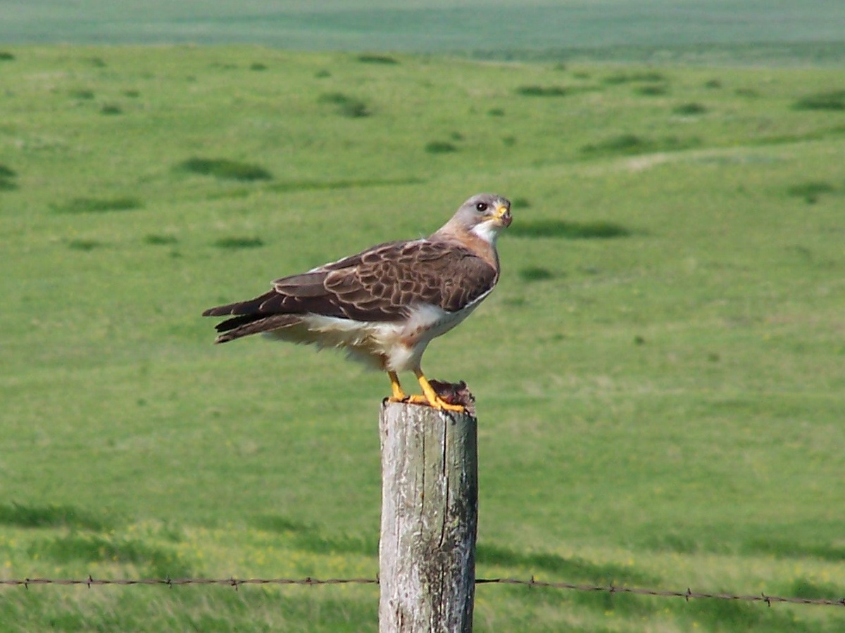
Swainson's Hawk

Moto West 2012
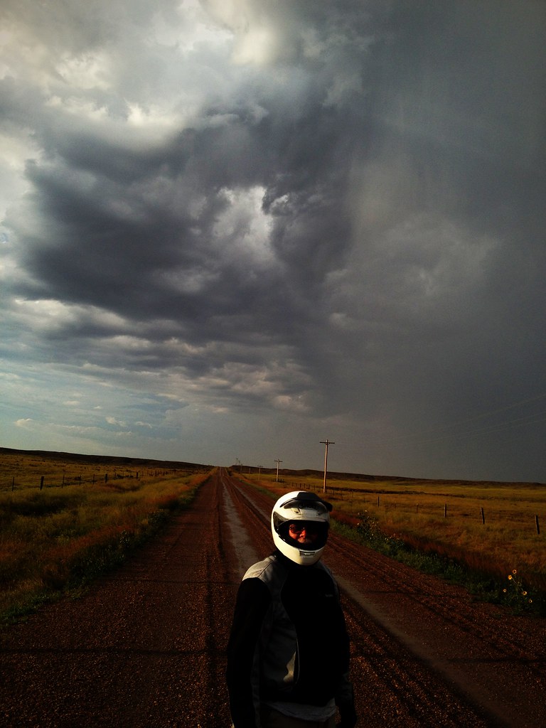
Moto West 2012
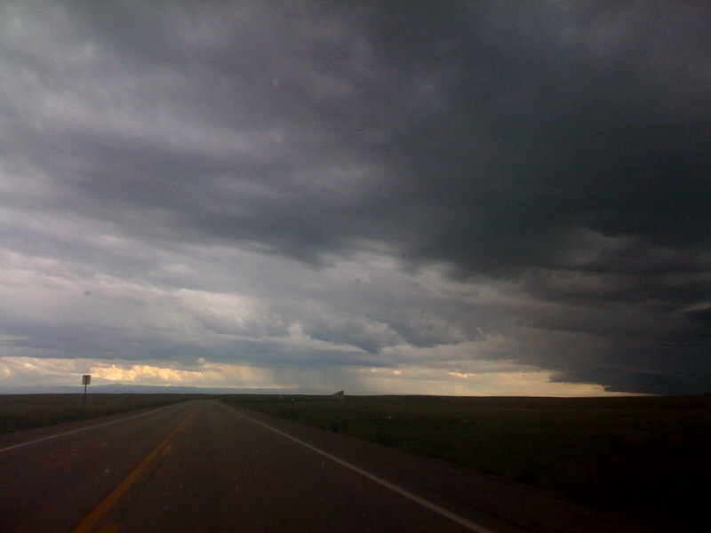
Doom ahead
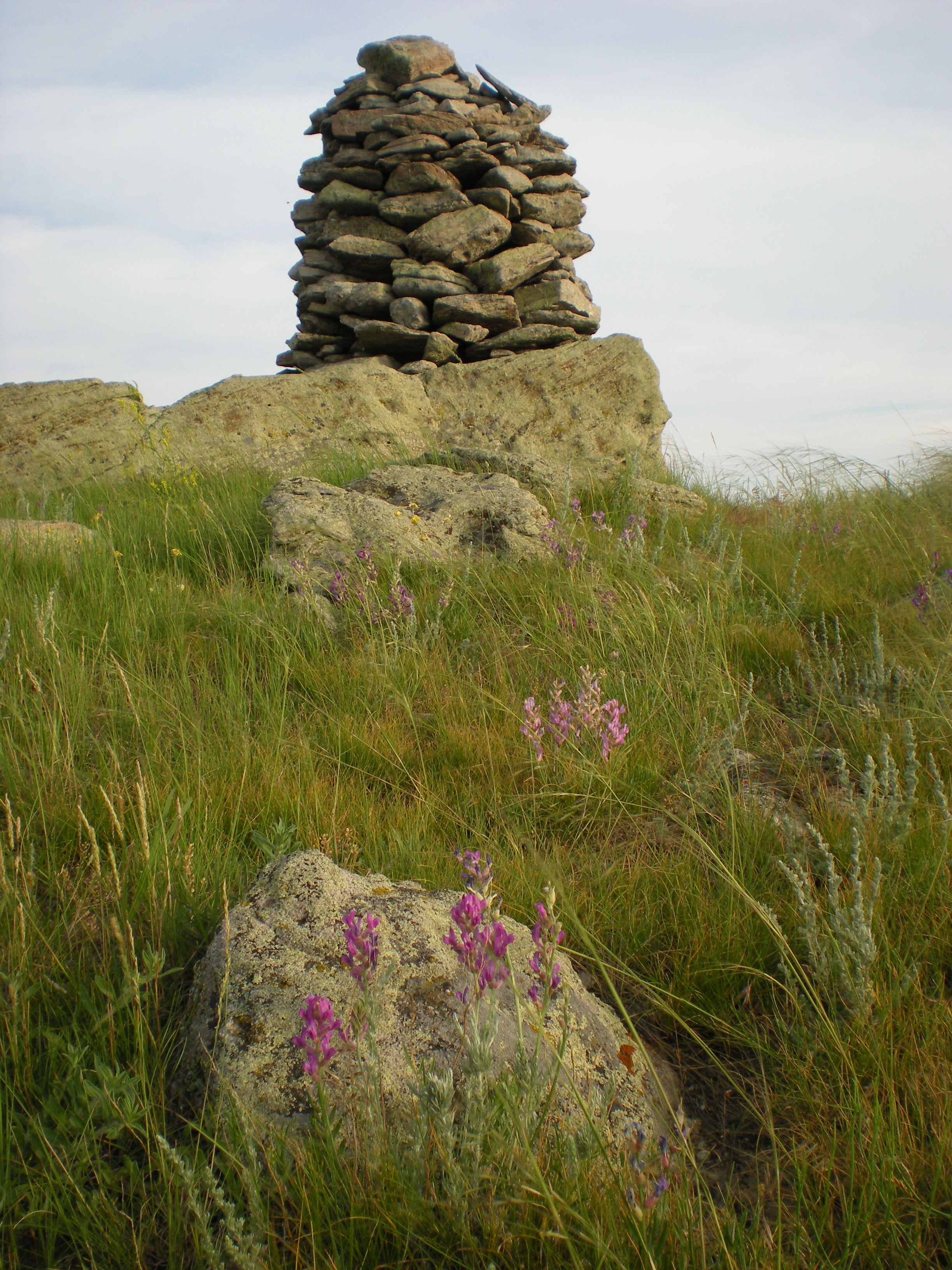
Sheepherder's Monument
Topographic Map of Butte County, SD, USA
Find elevation by address:

Places in Butte County, SD, USA:
Places near Butte County, SD, USA:
West Butte
State St, Belle Fourche, SD, USA
Belle Fourche
836 Kingsbury St
1500 10th Ave
900 Park Dr
1841 8th Ave
10993 Minnesela Valley Rd
10993 Minnesela Valley Rd
10997 Minnesela Valley Rd
1450 Kerwin Ln
Vale
Luke Court
1210 N Rainbow Rd
8025 Brooks Loop
Spearfish / Black Hills Koa
Clark Lane
103 Clark Ln
2111 Blue Stem Blvd
2407 Chokecherry Circle
Recent Searches:
- Elevation of Sunset Dr, Richmond, VA, USA
- Elevation of Grodna District, Hrodna Region, Belarus
- Elevation of Hrodna, Hrodna Region, Belarus
- Elevation of Sandia Derby Estates, Tijeras, NM, USA
- Elevation of 23 Sunrise View Ct, Tijeras, NM, USA
- Elevation of Lytham Ln, Katy, TX, USA
- Elevation of Tater Hill, Oklahoma, USA
- Elevation of NY-, Friendship, NY, USA
- Elevation of 64 Danakas Dr, Winnipeg, MB R2C 5N7, Canada
- Elevation of 4 Vale Rd, Sheffield S3 9QX, UK