Elevation of Belle Fourche, SD, USA
Location: United States > South Dakota > Butte County >
Longitude: -103.85214
Latitude: 44.6713733
Elevation: 921m / 3022feet
Barometric Pressure: 91KPa
Elevation Map:
Satellite Map:
Related Photos:

Male mule deer
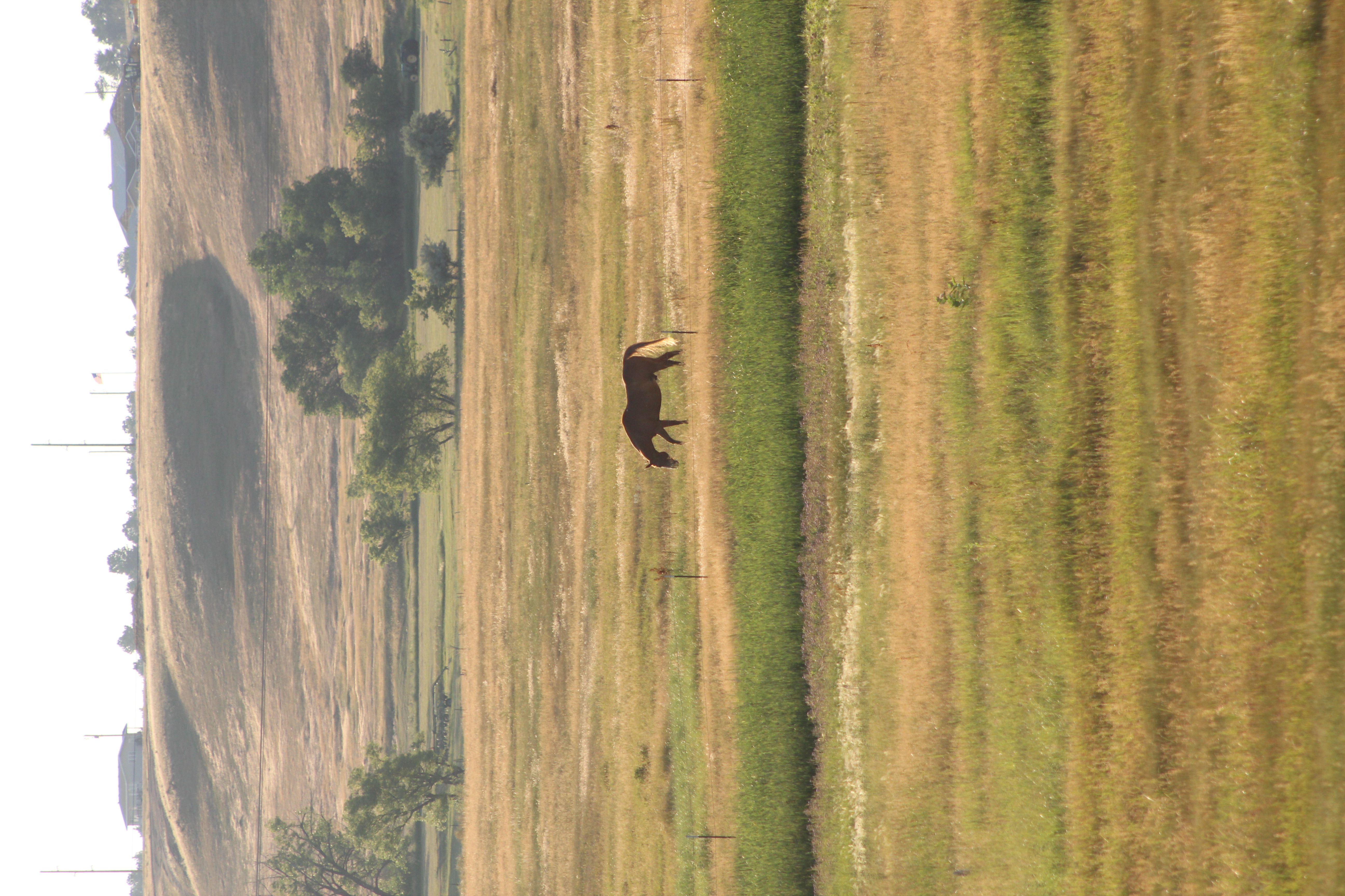
Horse on prairie
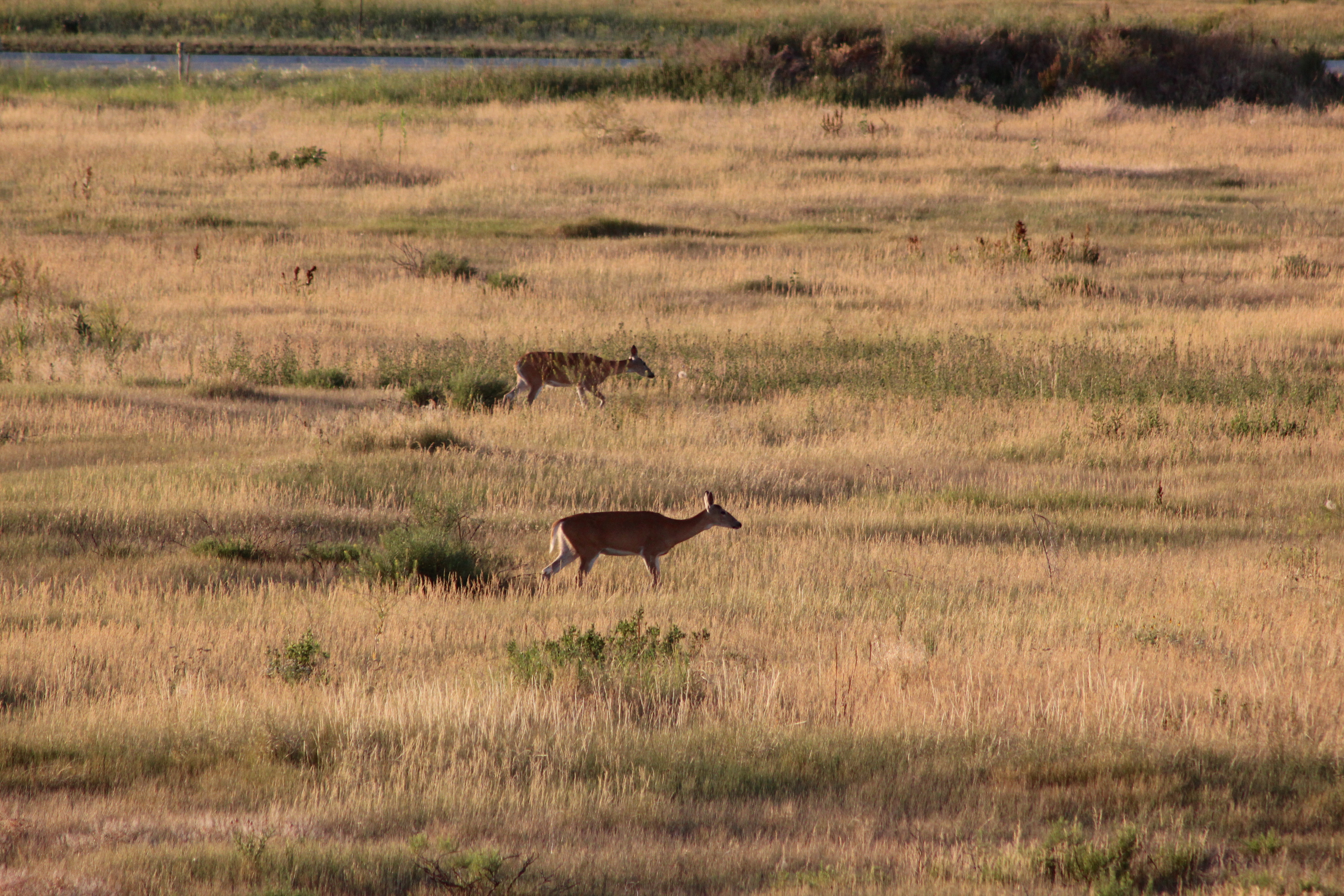
Deer on prairie
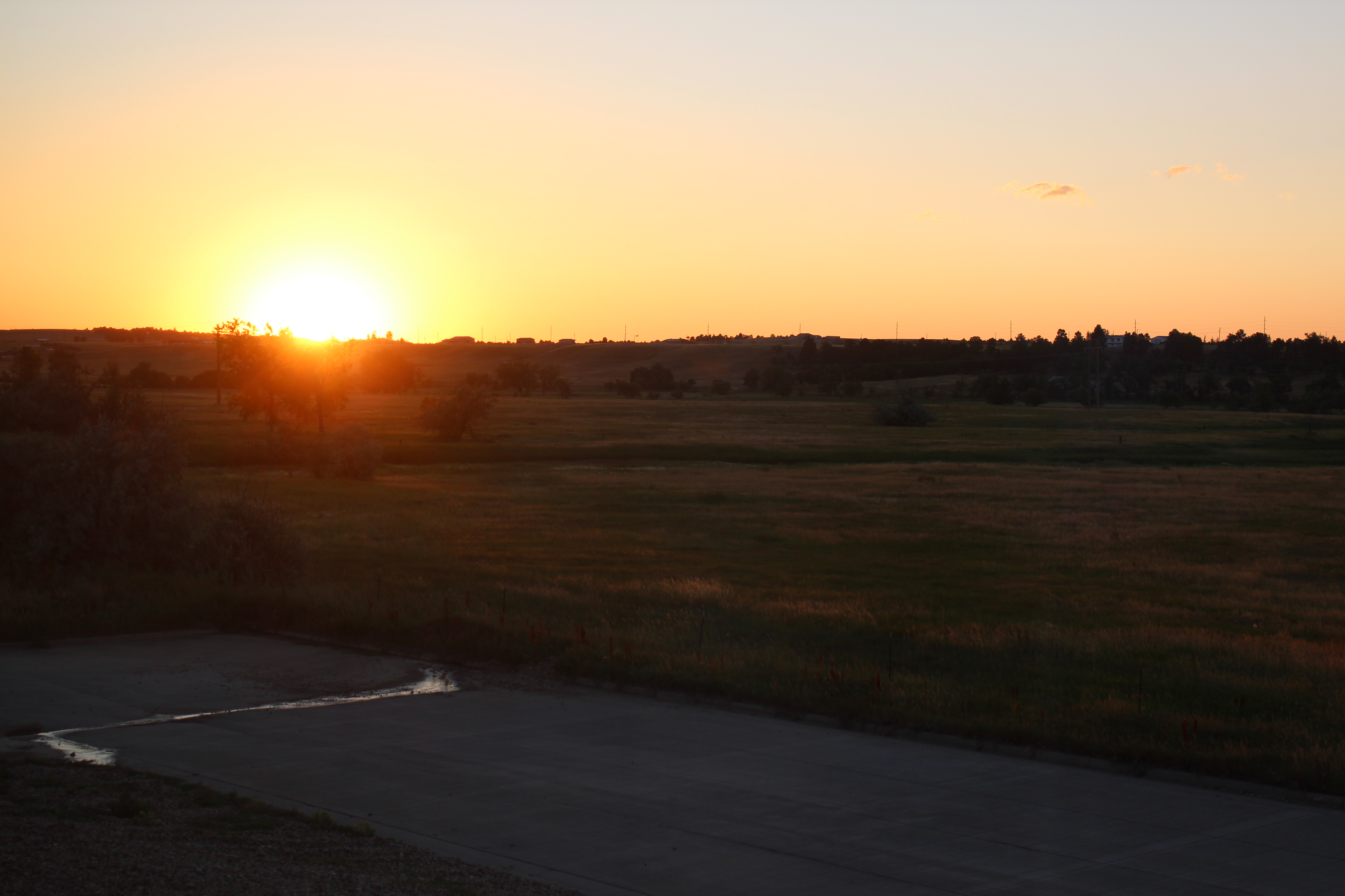
Sunset on prairie

Outside home...

Same field... same day

Devils Tower National Monument

Dusk smoke 4

Dad's Home
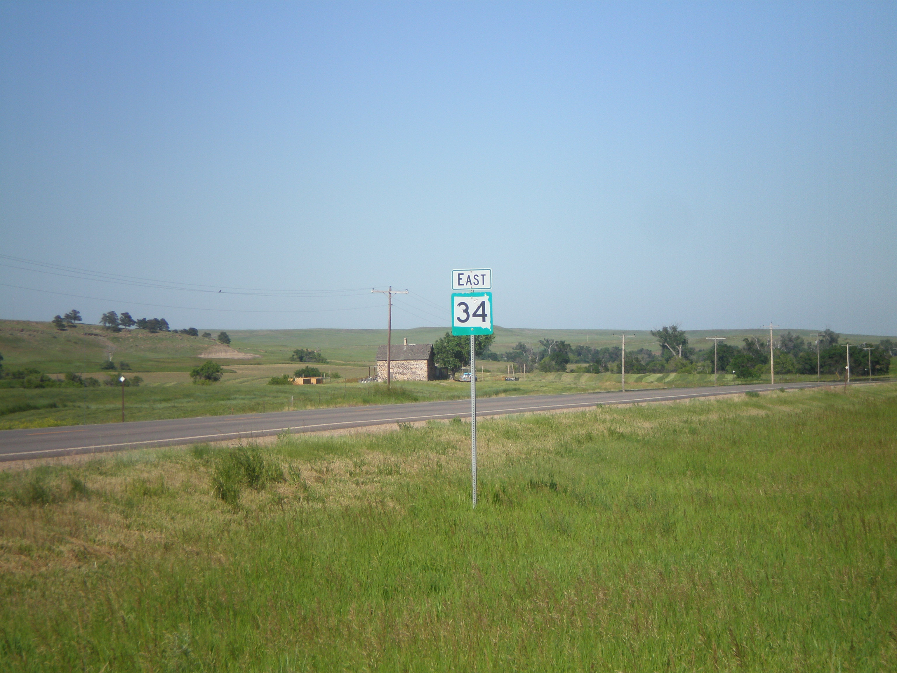
SD-34 East

Center of the Nation Marathon Series - Day 3
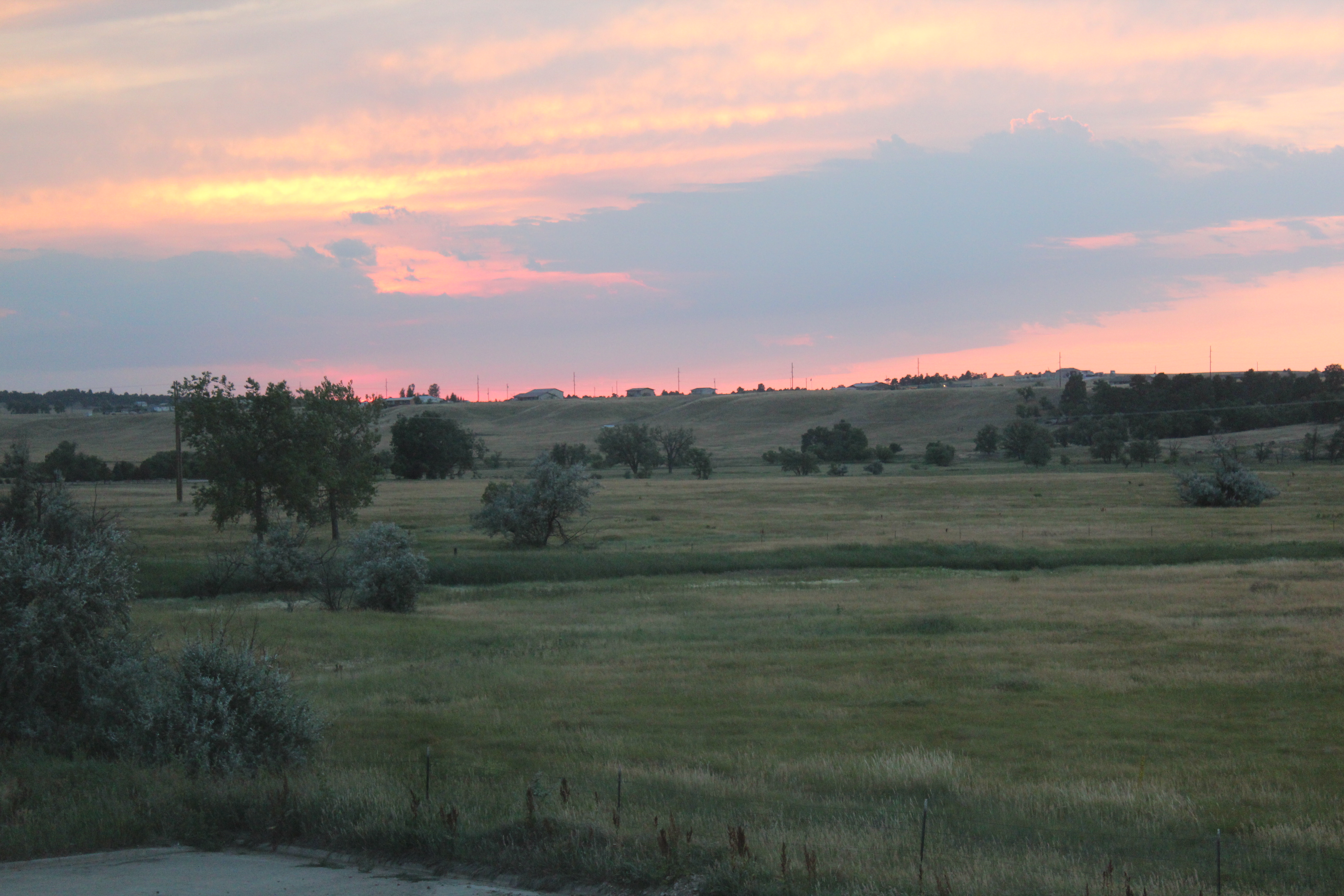
South Dakota sunset

Farming on the prairie

Hay bales
Topographic Map of Belle Fourche, SD, USA
Find elevation by address:

Places in Belle Fourche, SD, USA:
Places near Belle Fourche, SD, USA:
State St, Belle Fourche, SD, USA
836 Kingsbury St
1500 10th Ave
900 Park Dr
1841 8th Ave
10993 Minnesela Valley Rd
10993 Minnesela Valley Rd
10997 Minnesela Valley Rd
1450 Kerwin Ln
Spearfish / Black Hills Koa
103 Clark Ln
Clark Lane
North Spearfish
Spearfish High School
19928 Tom Court
3343 Fox Chase Ln
19926 Gobbler Rd
19926 Gobbler Rd
3020 Hillsview Rd
Spearfish, South Dakota
Recent Searches:
- Elevation of Corso Fratelli Cairoli, 35, Macerata MC, Italy
- Elevation of Tallevast Rd, Sarasota, FL, USA
- Elevation of 4th St E, Sonoma, CA, USA
- Elevation of Black Hollow Rd, Pennsdale, PA, USA
- Elevation of Oakland Ave, Williamsport, PA, USA
- Elevation of Pedrógão Grande, Portugal
- Elevation of Klee Dr, Martinsburg, WV, USA
- Elevation of Via Roma, Pieranica CR, Italy
- Elevation of Tavkvetili Mountain, Georgia
- Elevation of Hartfords Bluff Cir, Mt Pleasant, SC, USA