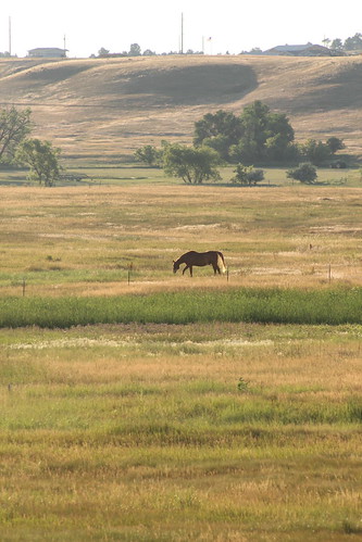
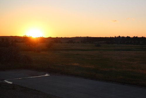
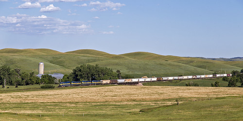
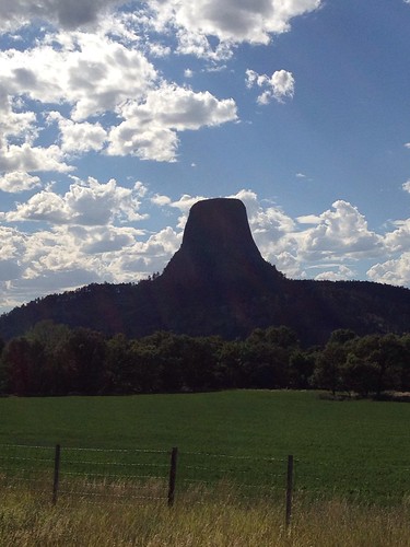
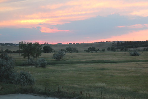
Elevation of 10th Ave, Belle Fourche, SD, USA
Location: United States > South Dakota > Butte County > Belle Fourche >
Longitude: -103.84612
Latitude: 44.6613838
Elevation: -10000m / -32808feet
Barometric Pressure: 295KPa
Related Photos:
Topographic Map of 10th Ave, Belle Fourche, SD, USA
Find elevation by address:

Places near 10th Ave, Belle Fourche, SD, USA:
900 Park Dr
836 Kingsbury St
1841 8th Ave
State St, Belle Fourche, SD, USA
Belle Fourche
10993 Minnesela Valley Rd
10993 Minnesela Valley Rd
10997 Minnesela Valley Rd
1450 Kerwin Ln
Spearfish / Black Hills Koa
Clark Lane
103 Clark Ln
Spearfish High School
North Spearfish
19928 Tom Court
3343 Fox Chase Ln
3020 Hillsview Rd
19926 Gobbler Rd
19926 Gobbler Rd
Spearfish, South Dakota
Recent Searches:
- Elevation of Martins Mill Ct, Eagle Rock, NC, USA
- Elevation of Kippen, Stirling FK8, UK
- Elevation of Sieveringer Straße, Sieveringer Str., Wien, Austria
- Elevation of Bratskaya Ulitsa, 24, Kurgan, Kurganskaya oblast', Russia
- Elevation of Paradisvegen, Biri, Norway
- Elevation of Crystal Cir, Birmingham, AL, USA
- Elevation of N Railroad Ave, West Palm Beach, FL, USA
- Elevation of 55 Cassick Valley Rd, Wellfleet, MA, USA
- Elevation of Ironwood Dr, Minden, NV, USA
- Elevation of 高尾山口駅, Takaomachi, Hachioji, Tokyo -, Japan
