Elevation of Butler, WV, USA
Location: United States > West Virginia > Wayne County >
Longitude: -82.540227
Latitude: 38.1850077
Elevation: 307m / 1007feet
Barometric Pressure: 98KPa
Elevation Map:
Satellite Map:
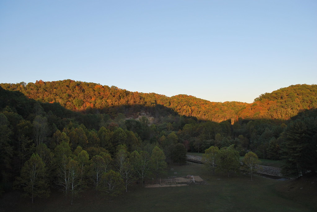
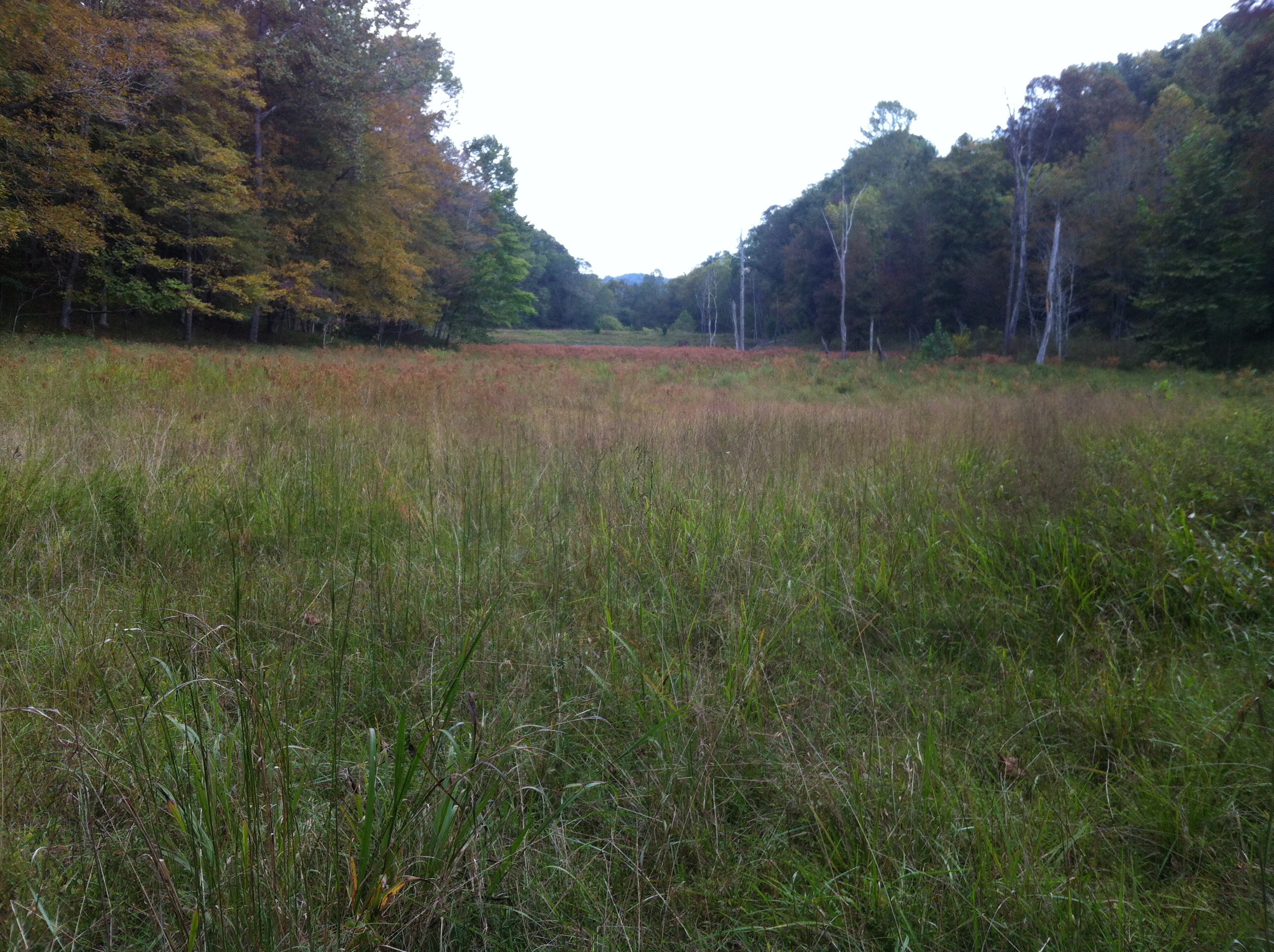
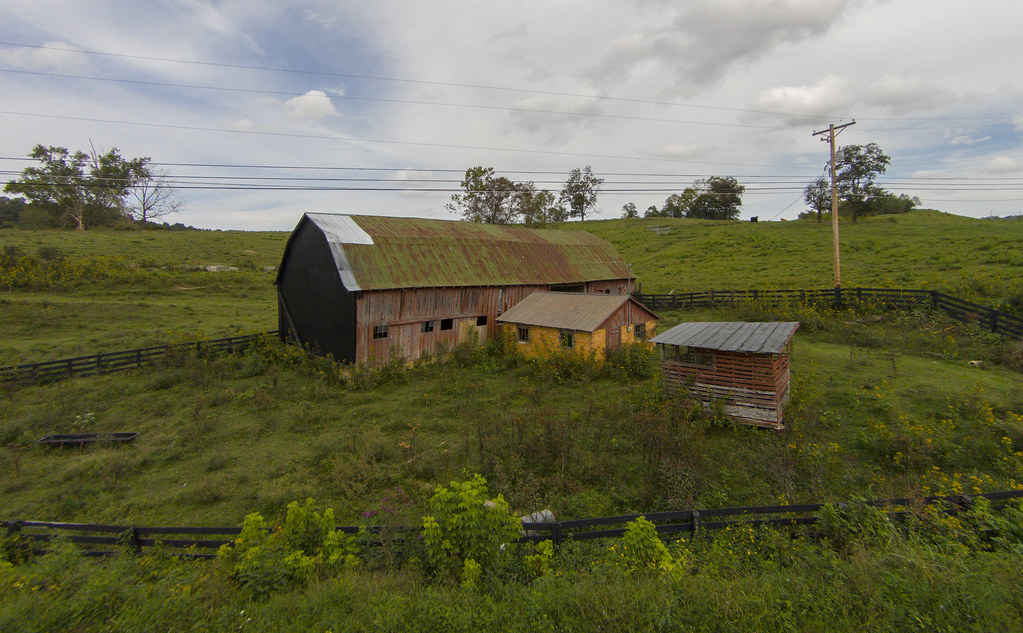
Related Photos:

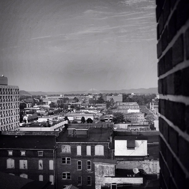
Another beautiful view of the Miami skyline

hangin' round
Beyond my view is a great big world awaiting exploration
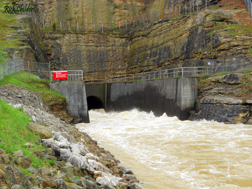
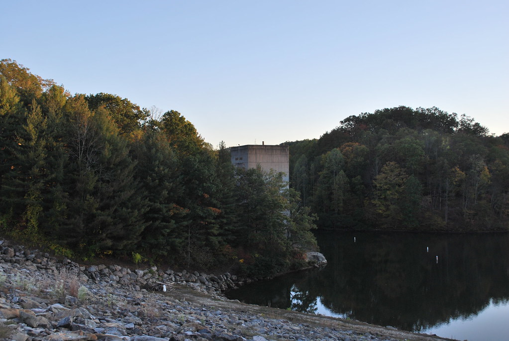
East Lynn Dam Outlet
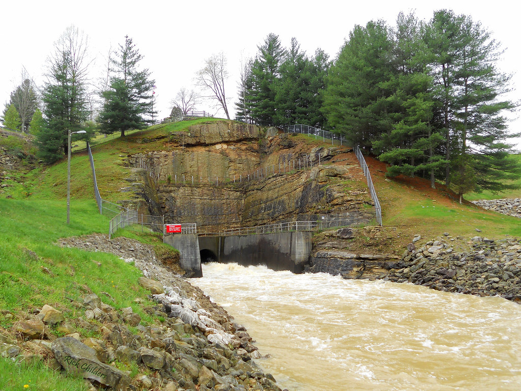
East Lynn Dam
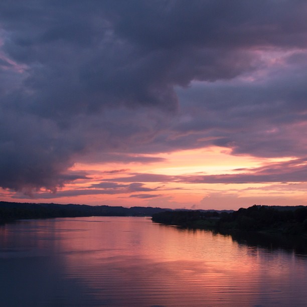
It doesn't get anymore beautiful than a sunset in West Virginia

Often beauty is found in simple forms.

Bridge 901-06

Bridge 901-07

She loves me, she loves me not, she loves me.....
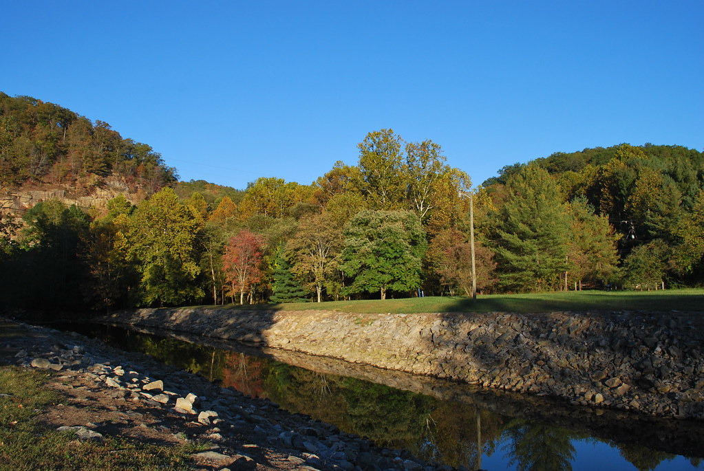
Twelvepole Creek below East Lynn Dam
East Lynn Lake: Wayne County: West Virginia
Beech Fork
East Lynn Dam

Bridge 898-01
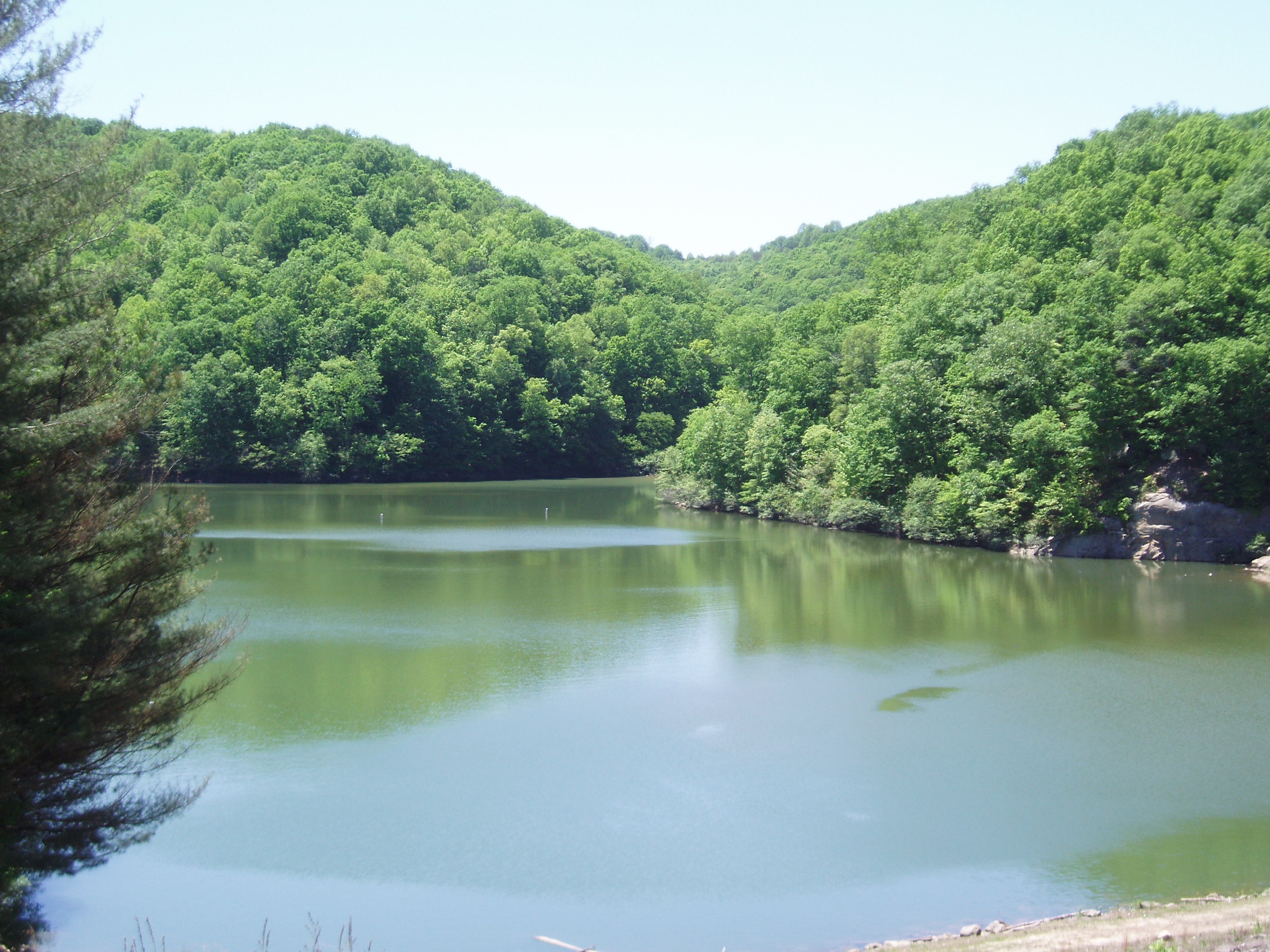
East Lynn Lake: Downstream of Dam
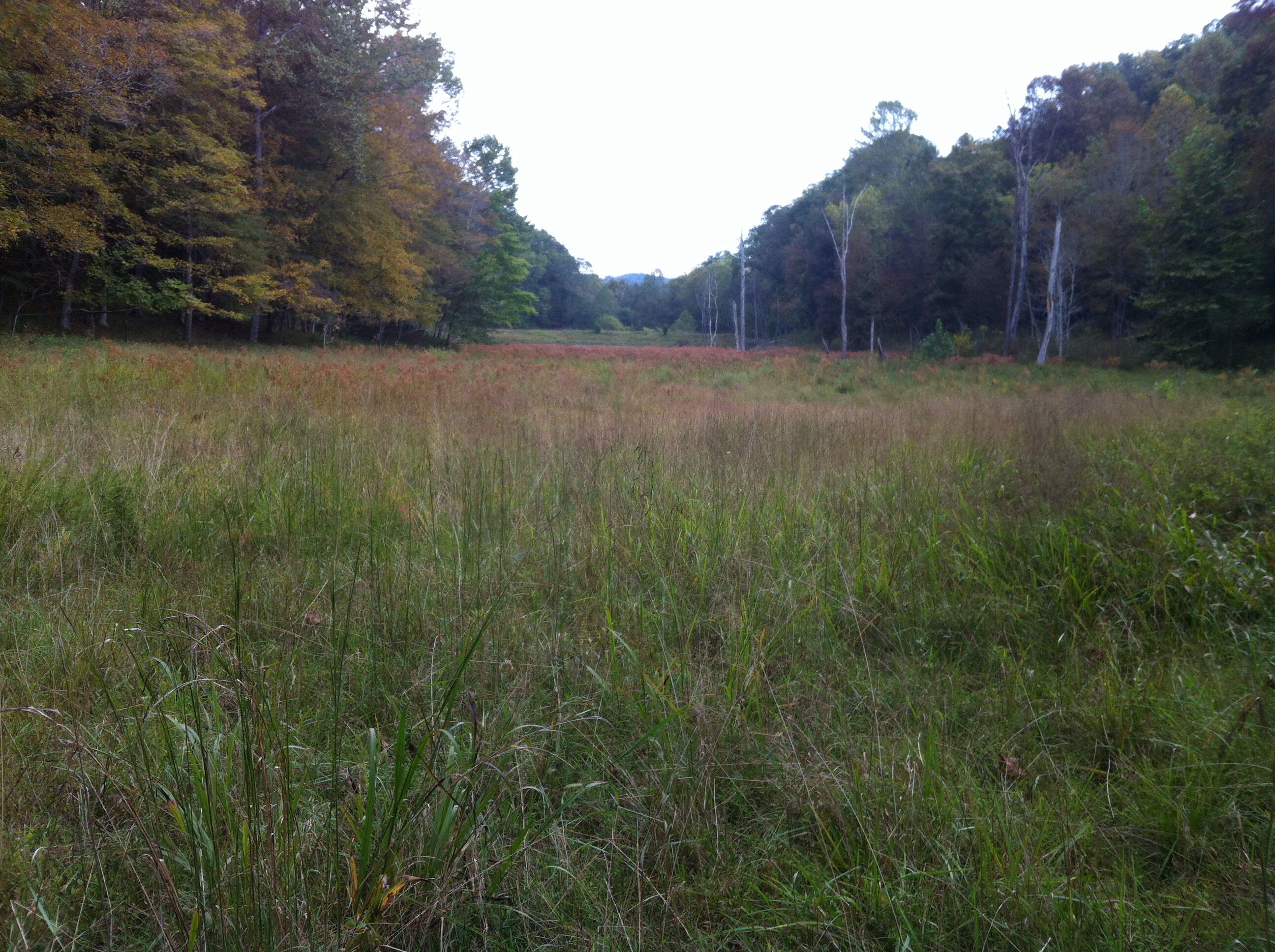
Beech Fork State Park
Till the Cows Come Home
Topographic Map of Butler, WV, USA
Find elevation by address:

Places in Butler, WV, USA:
Places near Butler, WV, USA:
Little Hurricane Creek Road
42 Louisa Rd, Catlettsburg, KY, USA
Wayne County
Okuno International
Mayo Trail Rd, Catlettsburg, KY, USA
Fort Gay
Railroad St, Fort Gay, WV, USA
KY-, Catlettsburg, KY, USA
Louisa
Madison Street
Genoa
Wayne
Meadowbrook Lane
101 Expo St
Rustic Ravines
Five Forks Road
KY-3, Louisa, KY, USA
Radnor
1325 Big Lynn Creek Rd
Union
Recent Searches:
- Elevation of Corso Fratelli Cairoli, 35, Macerata MC, Italy
- Elevation of Tallevast Rd, Sarasota, FL, USA
- Elevation of 4th St E, Sonoma, CA, USA
- Elevation of Black Hollow Rd, Pennsdale, PA, USA
- Elevation of Oakland Ave, Williamsport, PA, USA
- Elevation of Pedrógão Grande, Portugal
- Elevation of Klee Dr, Martinsburg, WV, USA
- Elevation of Via Roma, Pieranica CR, Italy
- Elevation of Tavkvetili Mountain, Georgia
- Elevation of Hartfords Bluff Cir, Mt Pleasant, SC, USA