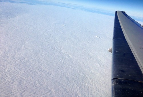
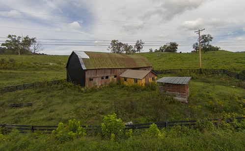
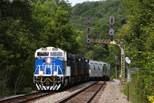
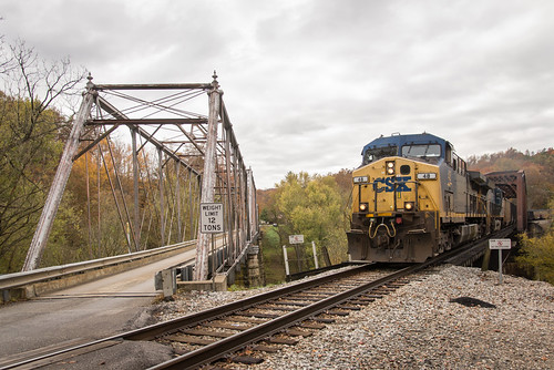
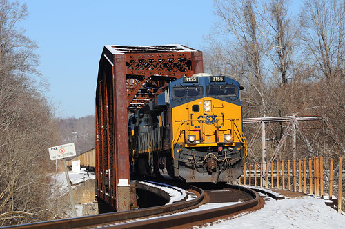
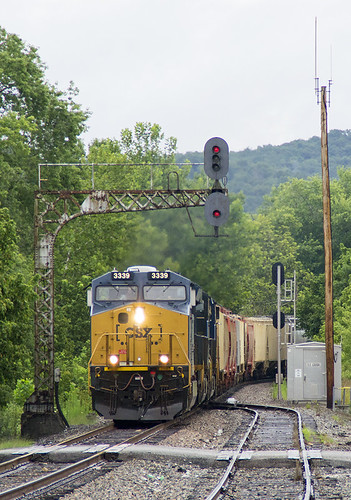
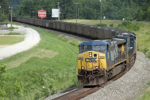
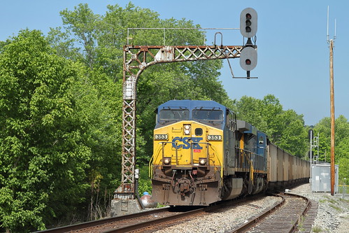
Elevation of Fort Gay, WV, USA
Location: United States > West Virginia > Wayne County > Butler >
Longitude: -82.595711
Latitude: 38.1161988
Elevation: 176m / 577feet
Barometric Pressure: 99KPa
Related Photos:
Topographic Map of Fort Gay, WV, USA
Find elevation by address:

Places near Fort Gay, WV, USA:
Railroad St, Fort Gay, WV, USA
Louisa
Madison Street
Meadowbrook Lane
Five Forks Road
Little Hurricane Creek Road
316 Timberlake Dr
42 Louisa Rd, Catlettsburg, KY, USA
Busseyville
Butler
Yatesville Lake State Park
KY-32, Louisa, KY, USA
365 Joe Fork Rd
KY-3, Louisa, KY, USA
Yatesville Lake Cabin Rental
Rustic Ravines
Okuno International
Adams
Wayne County
KY-, Catlettsburg, KY, USA
Recent Searches:
- Elevation of Elwyn Dr, Roanoke Rapids, NC, USA
- Elevation of Congressional Dr, Stevensville, MD, USA
- Elevation of Bellview Rd, McLean, VA, USA
- Elevation of Stage Island Rd, Chatham, MA, USA
- Elevation of Shibuya Scramble Crossing, 21 Udagawacho, Shibuya City, Tokyo -, Japan
- Elevation of Jadagoniai, Kaunas District Municipality, Lithuania
- Elevation of Pagonija rock, Kranto 7-oji g. 8"N, Kaunas, Lithuania
- Elevation of Co Rd 87, Jamestown, CO, USA
- Elevation of Tenjo, Cundinamarca, Colombia
- Elevation of Côte-des-Neiges, Montreal, QC H4A 3J6, Canada

