Elevation of Bushy Park, Jamaica
Location: Jamaica > Clarendon >
Longitude: -77.253446
Latitude: 17.9812943
Elevation: 69m / 226feet
Barometric Pressure: 100KPa
Elevation Map:
Satellite Map:
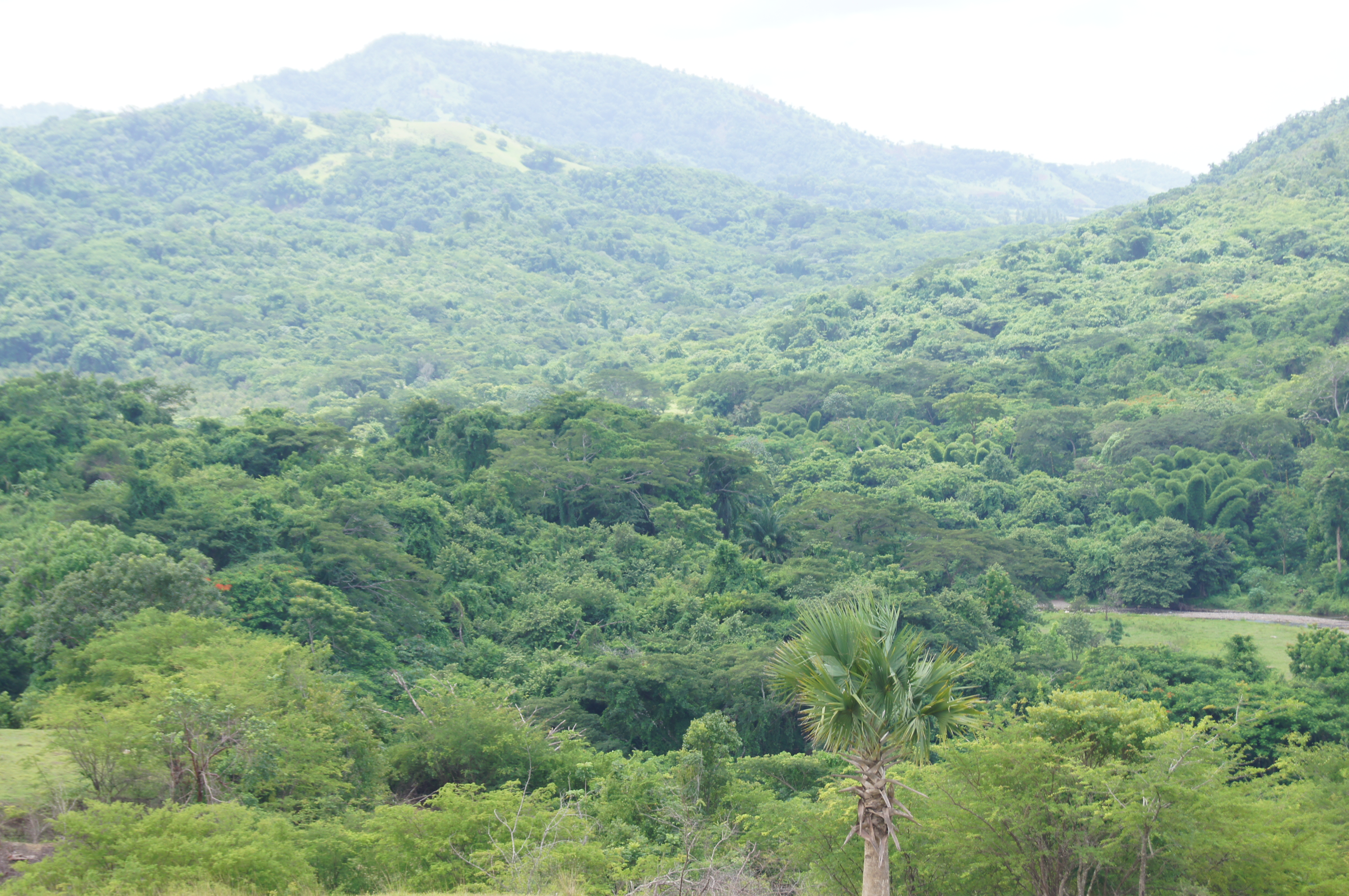
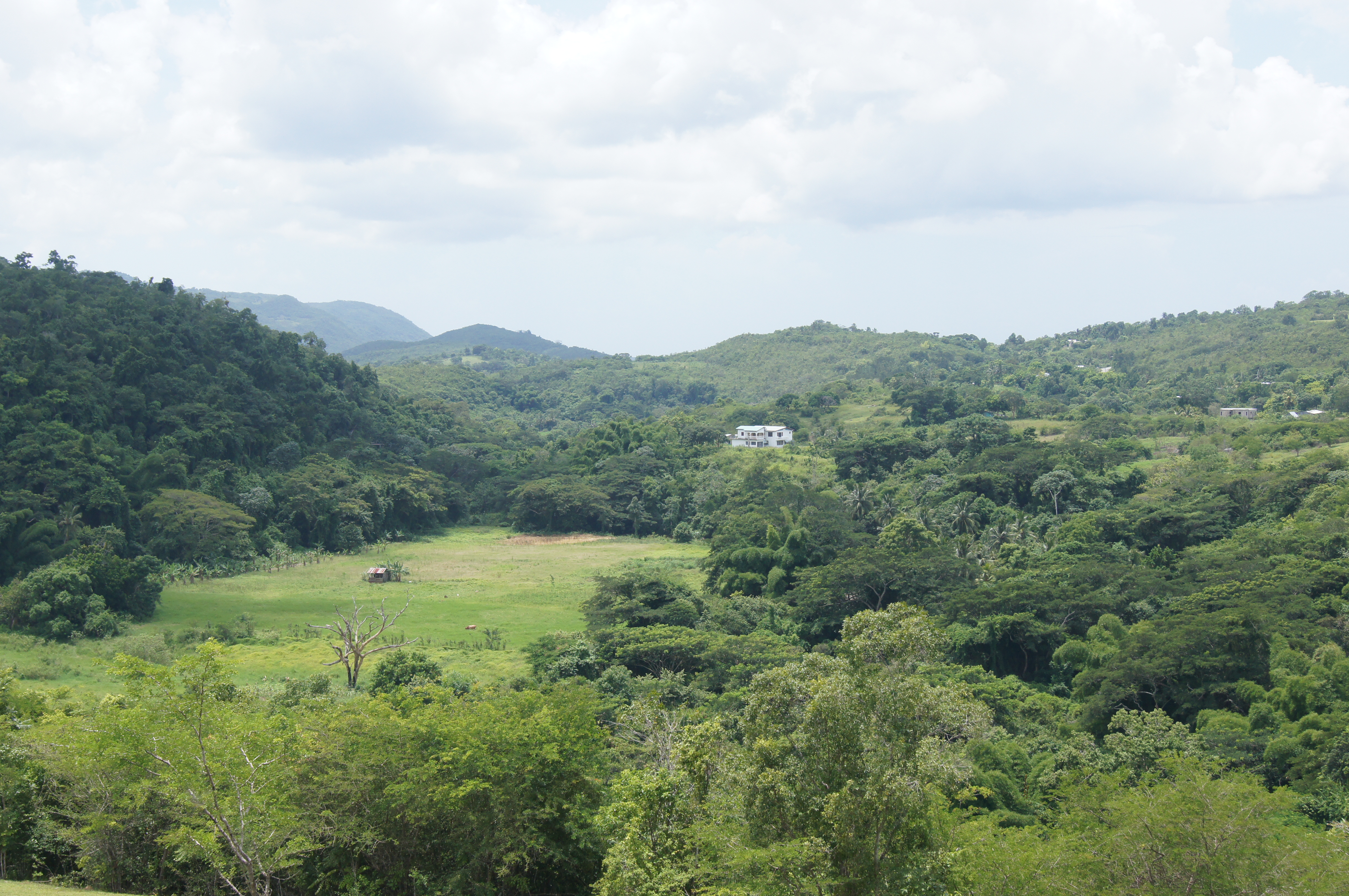
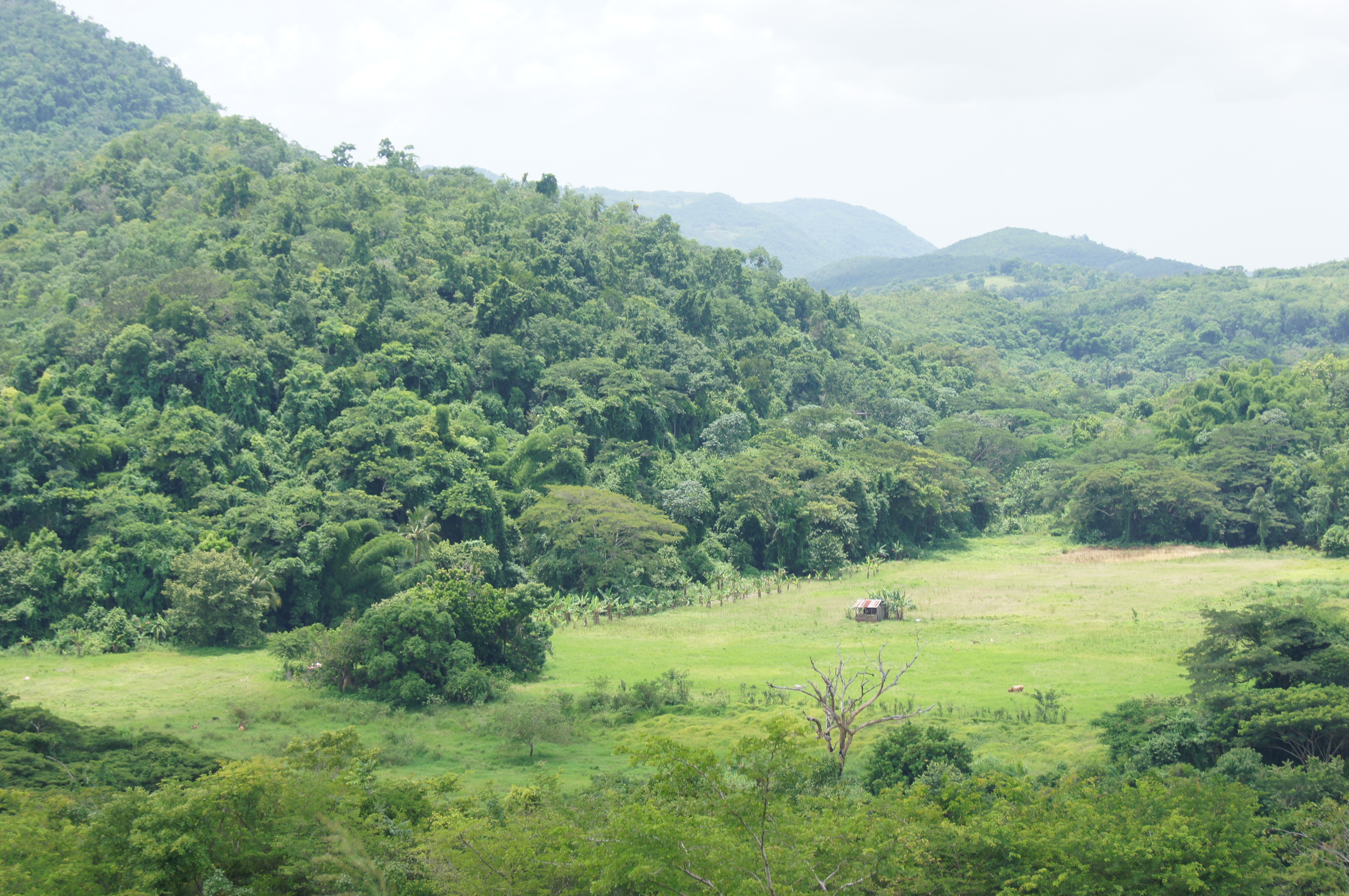
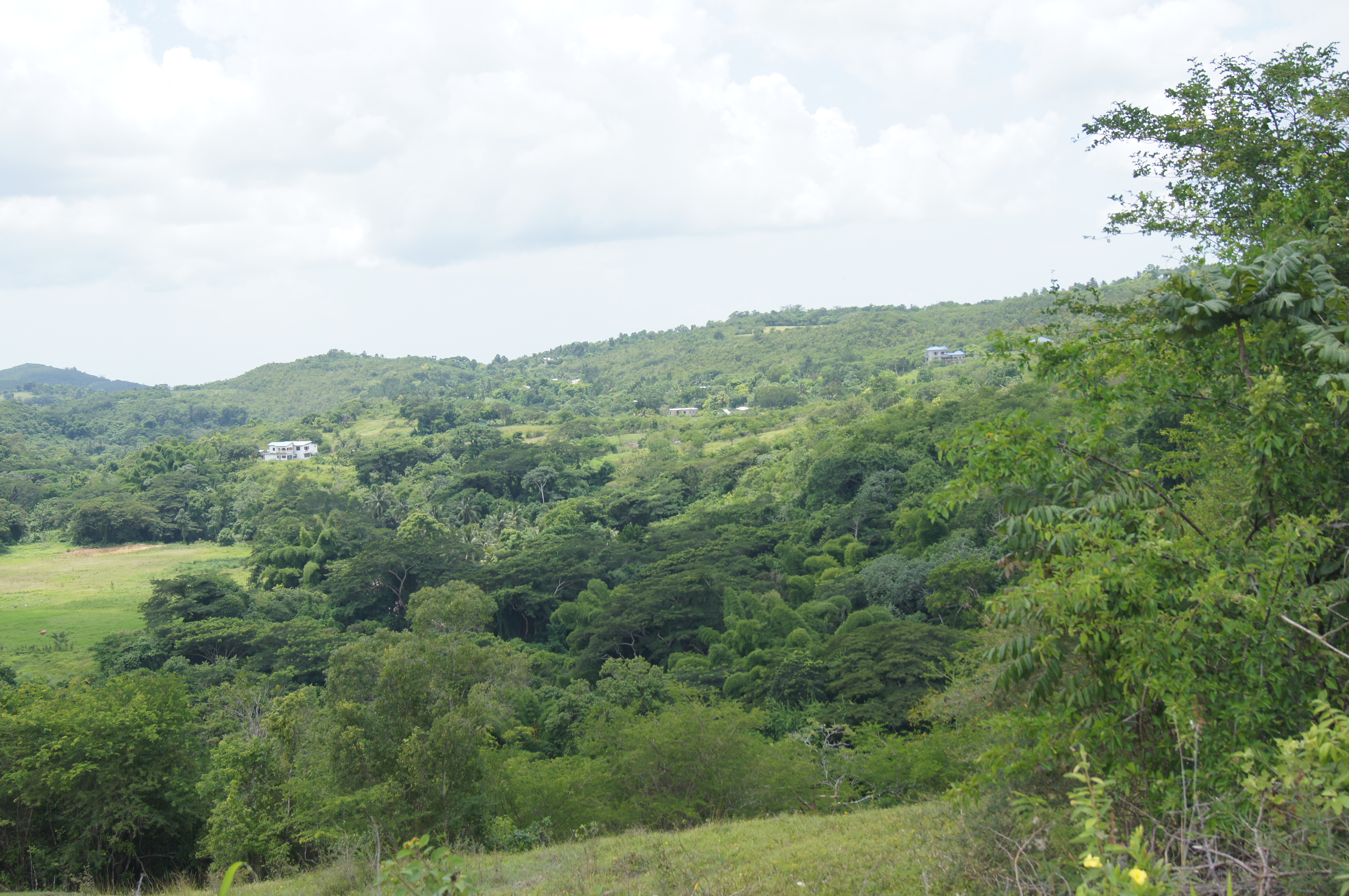
Related Photos:

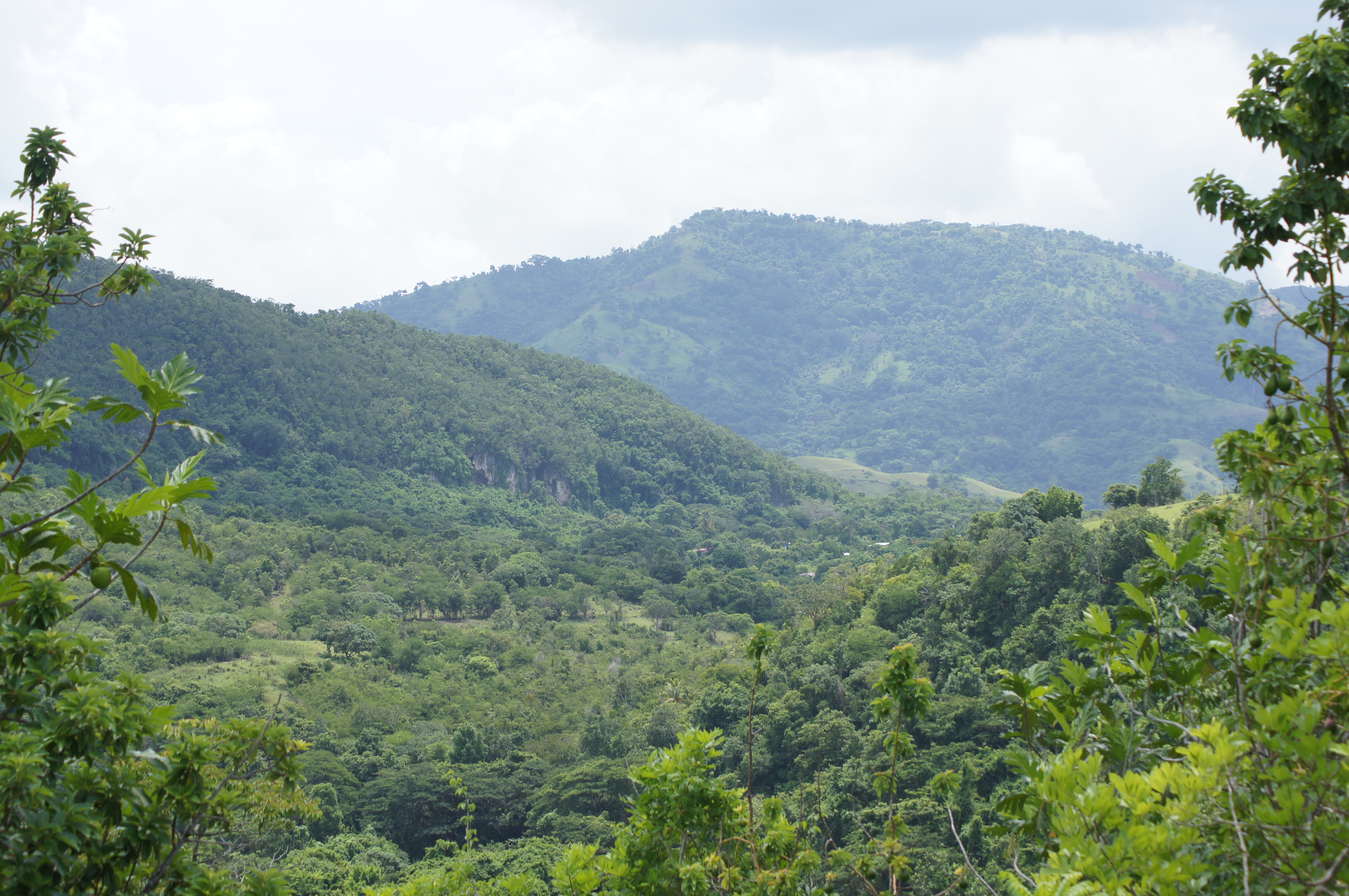
Mining Lakes

May Pen

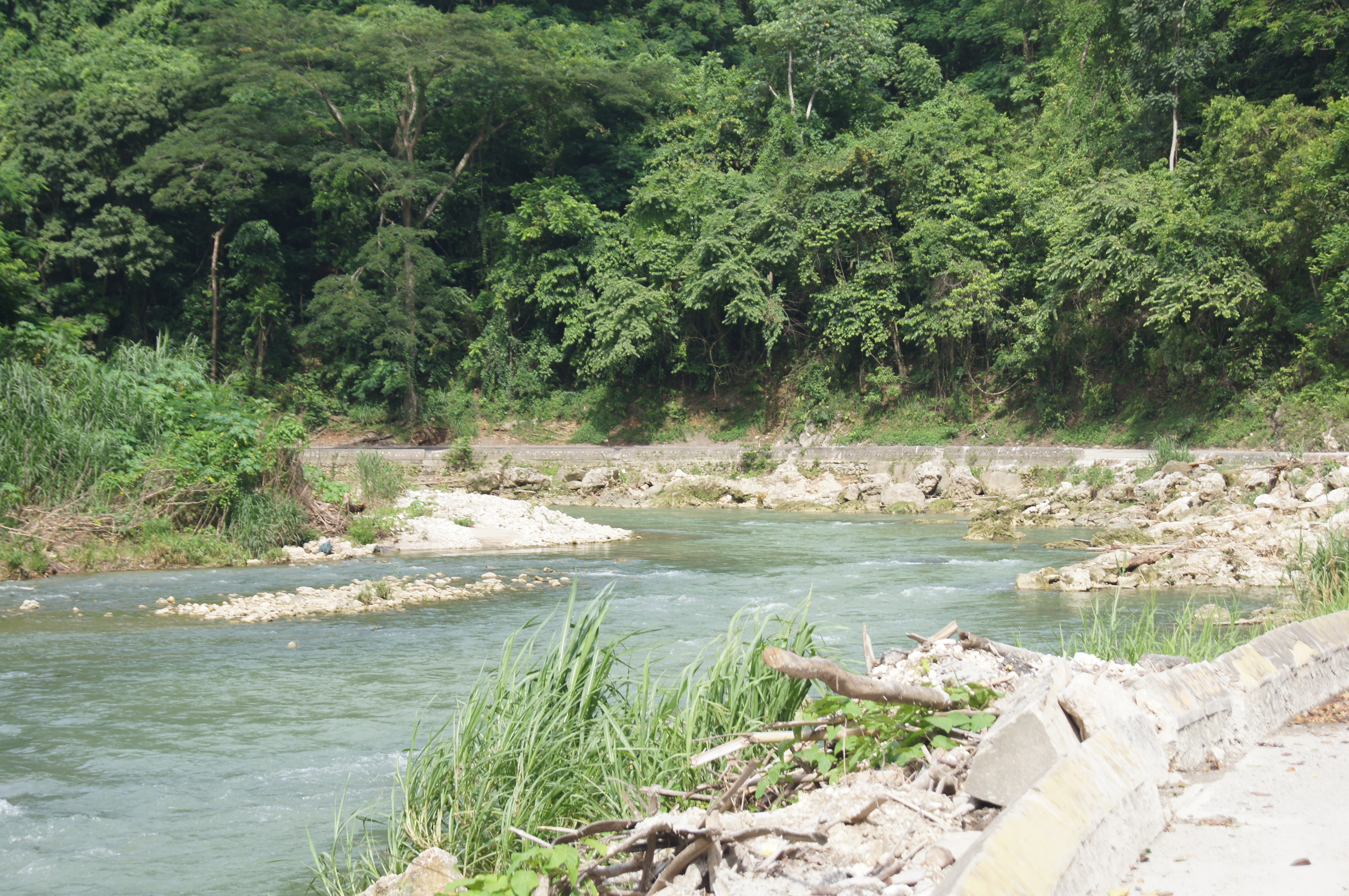
ROCK RIVER CLARENDON
Mining Lakes

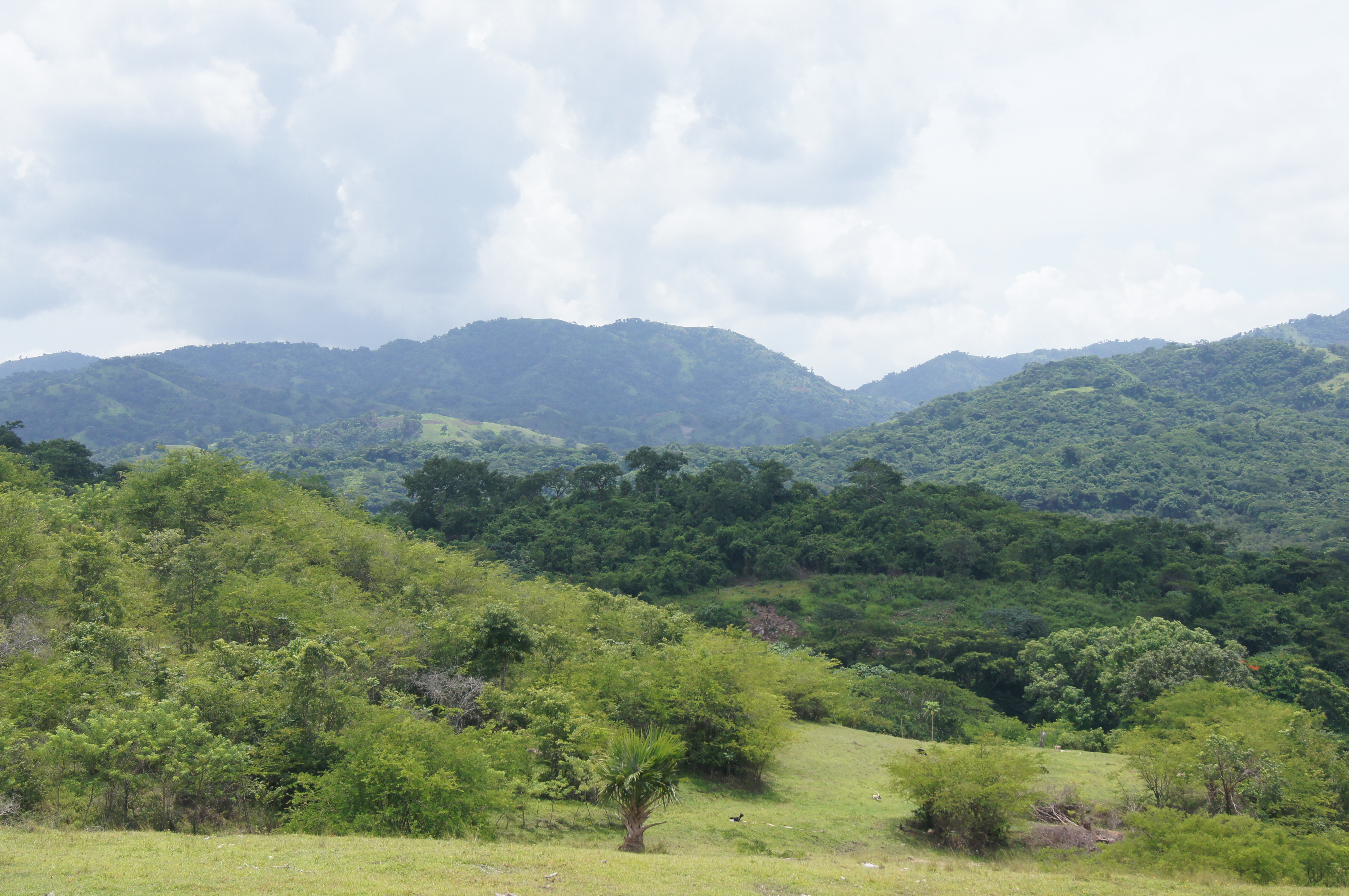
Home Pictures 936
Mining Lakes
#beautiful #beautifulday #travel #jamaica #ocean #sky #boat #blue #gorgeous #driving #inmotion #photography #photographer #ma5tr0 #followme #nofilter #instagood #instamood #instadaily #igers #photogallery #oldpic #gorgeous #instarelax
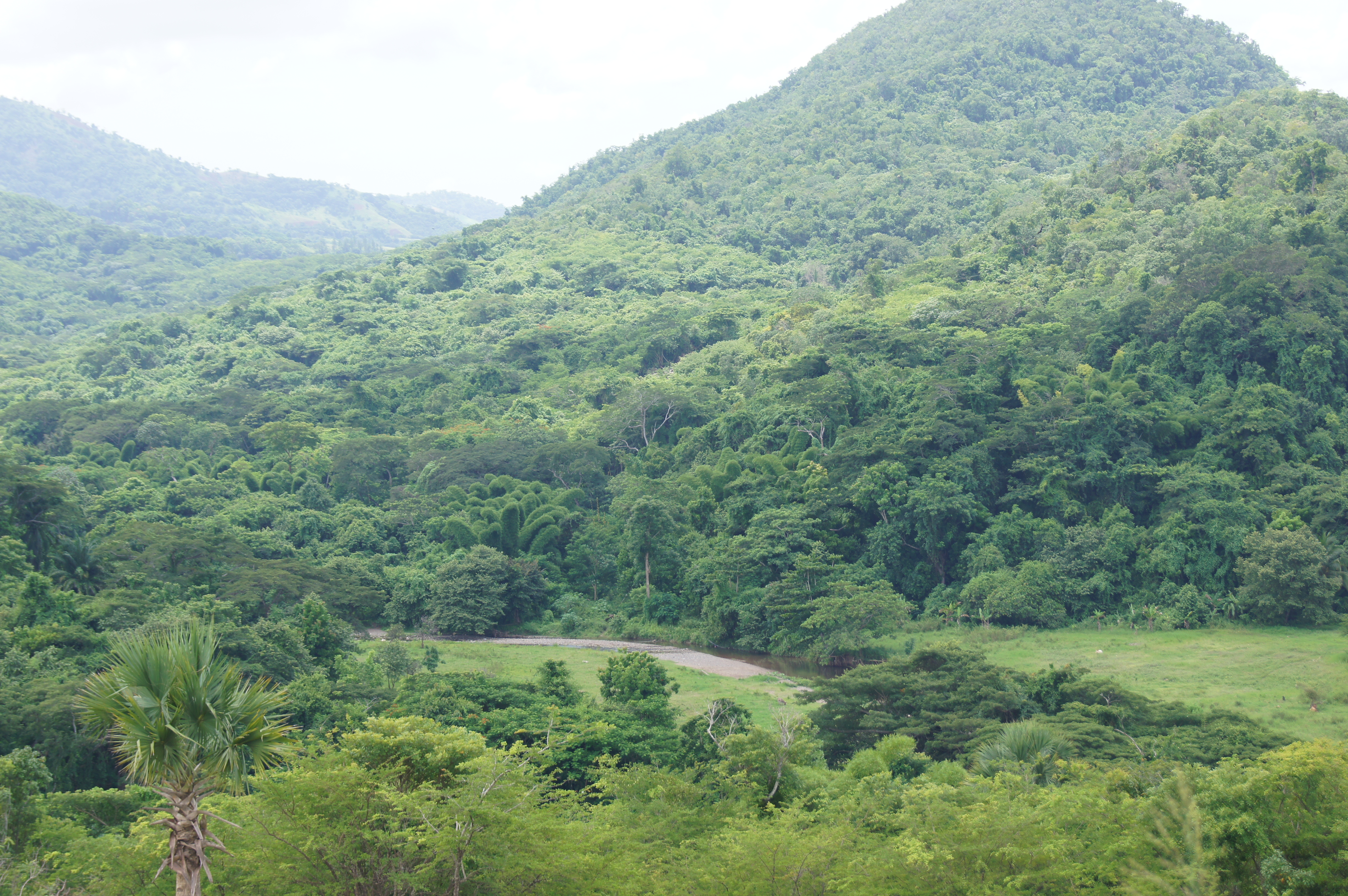
Home Pictures 927

Home Pictures 936

ROCK RIVER CLARENDON

Home Pictures 932
Home Pictures 912

Home Pictures 940
Home Pictures 950
Home Pictures 933
Home Pictures 938
Home Pictures 939
Home Pictures 930
Home Pictures 943
Home Pictures 942

Home Pictures 941

Home Pictures 933
Topographic Map of Bushy Park, Jamaica
Find elevation by address:

Places near Bushy Park, Jamaica:
Clarendon
Four Paths
Moores
Chapelton
Jamaica
Old Harbour
Marlie Drive
Worthy Park Estate
Saint Catherine Parish
Mason River Nature Reserve
Great Goat Island
Fairview Open Bible Church
Ardenne Ave, Spanish Town, Jamaica
Spanish Town
Brunswick Avenue
Hampton Green
Spanish Town Zone
Brunswick Street
Hellshire
North West 26th Way
Recent Searches:
- Elevation of Zu den Ihlowbergen, Althüttendorf, Germany
- Elevation of Badaber, Peshawar, Khyber Pakhtunkhwa, Pakistan
- Elevation of SE Heron Loop, Lincoln City, OR, USA
- Elevation of Slanický ostrov, 01 Námestovo, Slovakia
- Elevation of Spaceport America, Co Rd A, Truth or Consequences, NM, USA
- Elevation of Warwick, RI, USA
- Elevation of Fern Rd, Whitmore, CA, USA
- Elevation of 62 Abbey St, Marshfield, MA, USA
- Elevation of Fernwood, Bradenton, FL, USA
- Elevation of Felindre, Swansea SA5 7LU, UK