Elevation of Spanish Town, Jamaica
Location: Jamaica > Saint Catherine Parish >
Longitude: -76.975827
Latitude: 18.0193171
Elevation: 47m / 154feet
Barometric Pressure: 101KPa
Elevation Map:
Satellite Map:
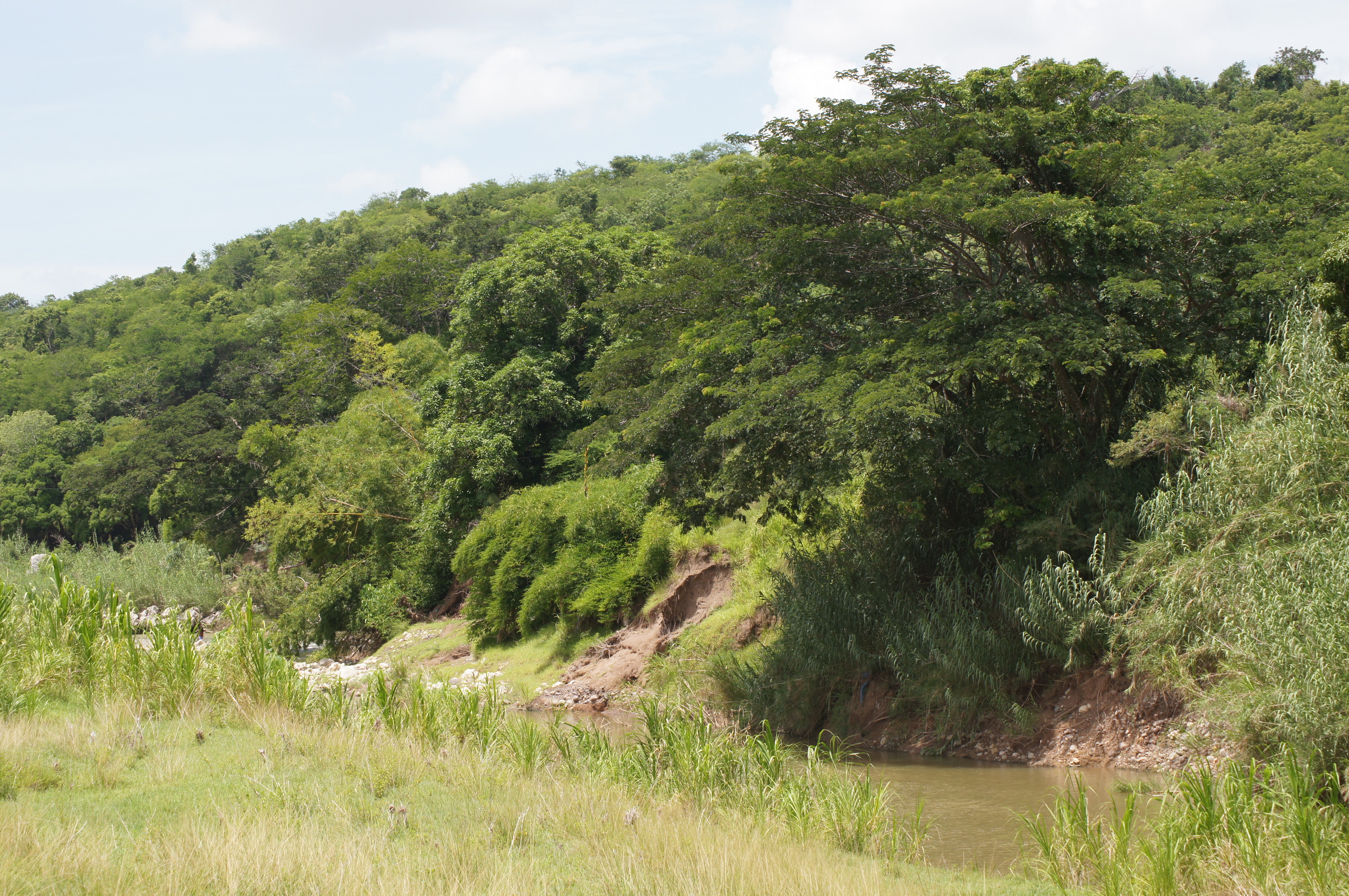
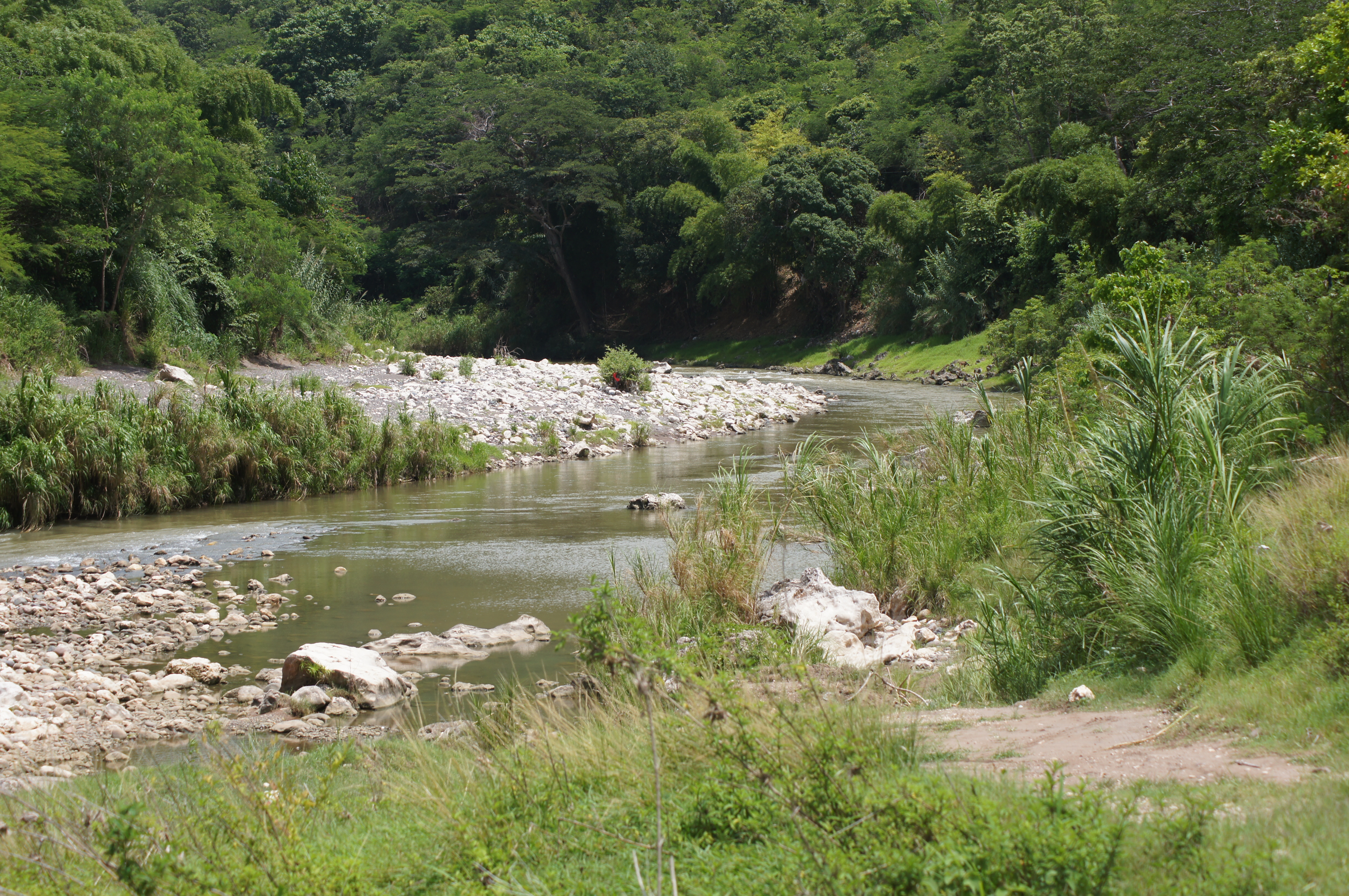
Related Photos:
IMG-20130207-WA0020 - Copy

IMG-20130305-WA0009

Colour Aggregate
IMG-20130207-WA0000
Caymanas Golf Club, Jamaica

Beach day needed! :)) can't stop laughing at how this turned out tho. #turnt&burnt #thethirstisreal lmfao #wahgwaanfidatdehrice&peastho #beach #sun #nature #water #TagsForLikes #TFLers #ocean #instagood #photooftheday #beautiful #sky #clouds #cloudporn #f
IMG_2403.jpg
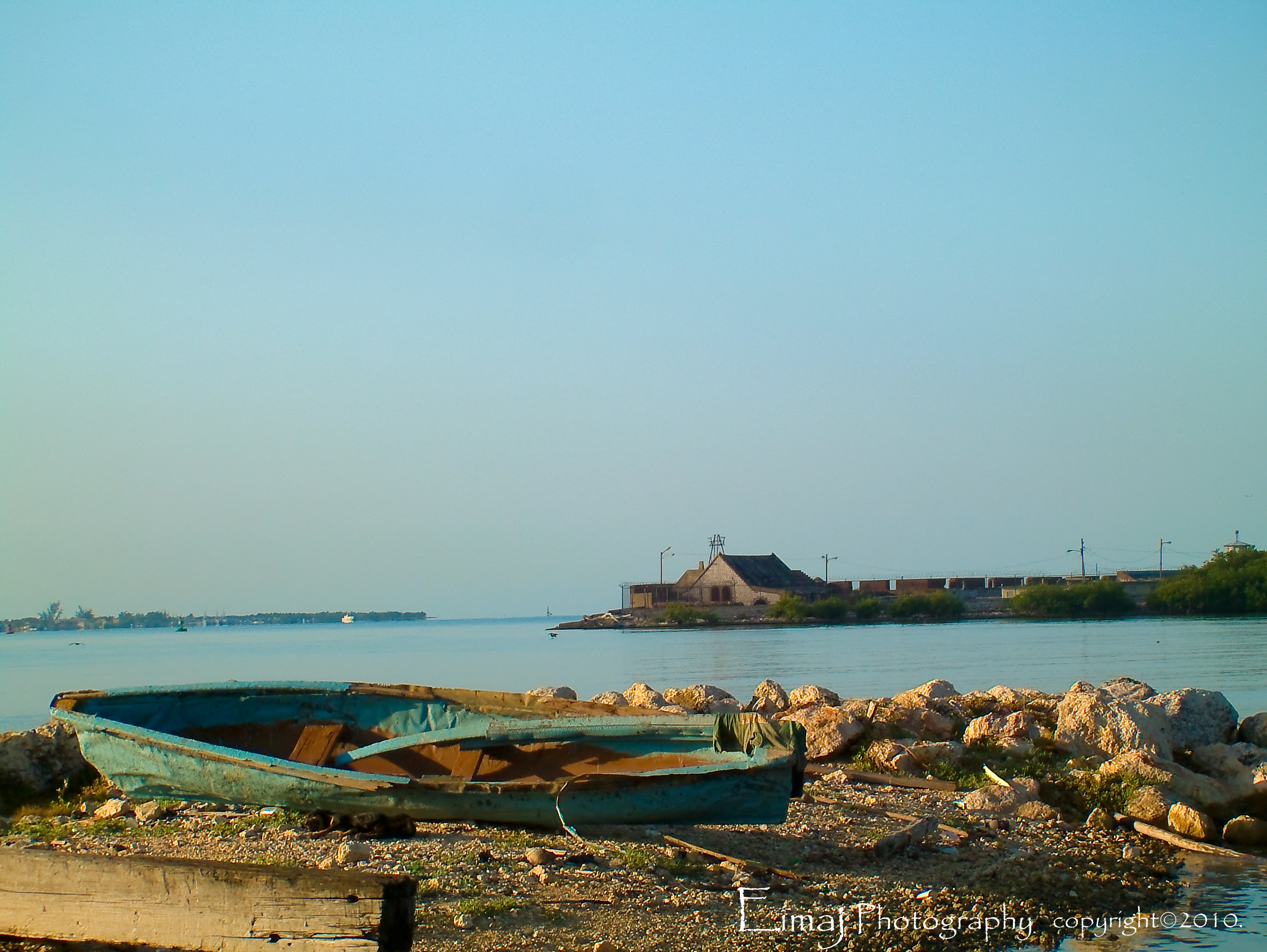
Fort Agusta
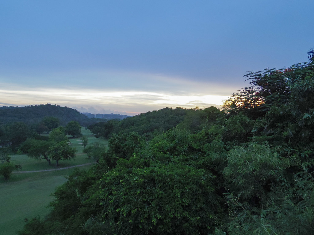
Caymanas Golf Club, Jamaica

Caymanas Golf Club, Jamaica
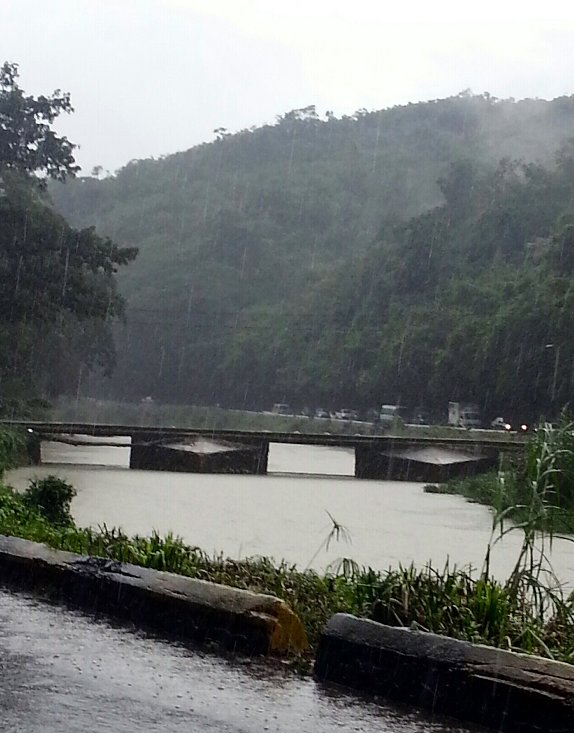
slippery Flat Bridge
IMG-20130207-WA0023 - Copy
Home Pictures 911

Home Pictures 902

Home Pictures 911
Home Pictures 907

Home Pictures 902
Topographic Map of Spanish Town, Jamaica
Find elevation by address:

Places in Spanish Town, Jamaica:
Places near Spanish Town, Jamaica:
Ardenne Ave, Spanish Town, Jamaica
Brunswick Avenue
Fairview Open Bible Church
Hampton Green
Brunswick Street
Spanish Town Zone
Grange Lane
North West 26th Way
Greater Portmore
Portmore
East Chedwin
South East 37th Way
Coopers Hill
Red Hills Road
Weymouth Drive
Clydesdale Avenue
Port Royal
Kingston
Havendale
Park Avenue
Recent Searches:
- Elevation of Corso Fratelli Cairoli, 35, Macerata MC, Italy
- Elevation of Tallevast Rd, Sarasota, FL, USA
- Elevation of 4th St E, Sonoma, CA, USA
- Elevation of Black Hollow Rd, Pennsdale, PA, USA
- Elevation of Oakland Ave, Williamsport, PA, USA
- Elevation of Pedrógão Grande, Portugal
- Elevation of Klee Dr, Martinsburg, WV, USA
- Elevation of Via Roma, Pieranica CR, Italy
- Elevation of Tavkvetili Mountain, Georgia
- Elevation of Hartfords Bluff Cir, Mt Pleasant, SC, USA