Elevation of Four Paths, Jamaica
Location: Jamaica > Clarendon >
Longitude: -77.292233
Latitude: 17.9649625
Elevation: 46m / 151feet
Barometric Pressure: 101KPa
Elevation Map:
Satellite Map:
Related Photos:

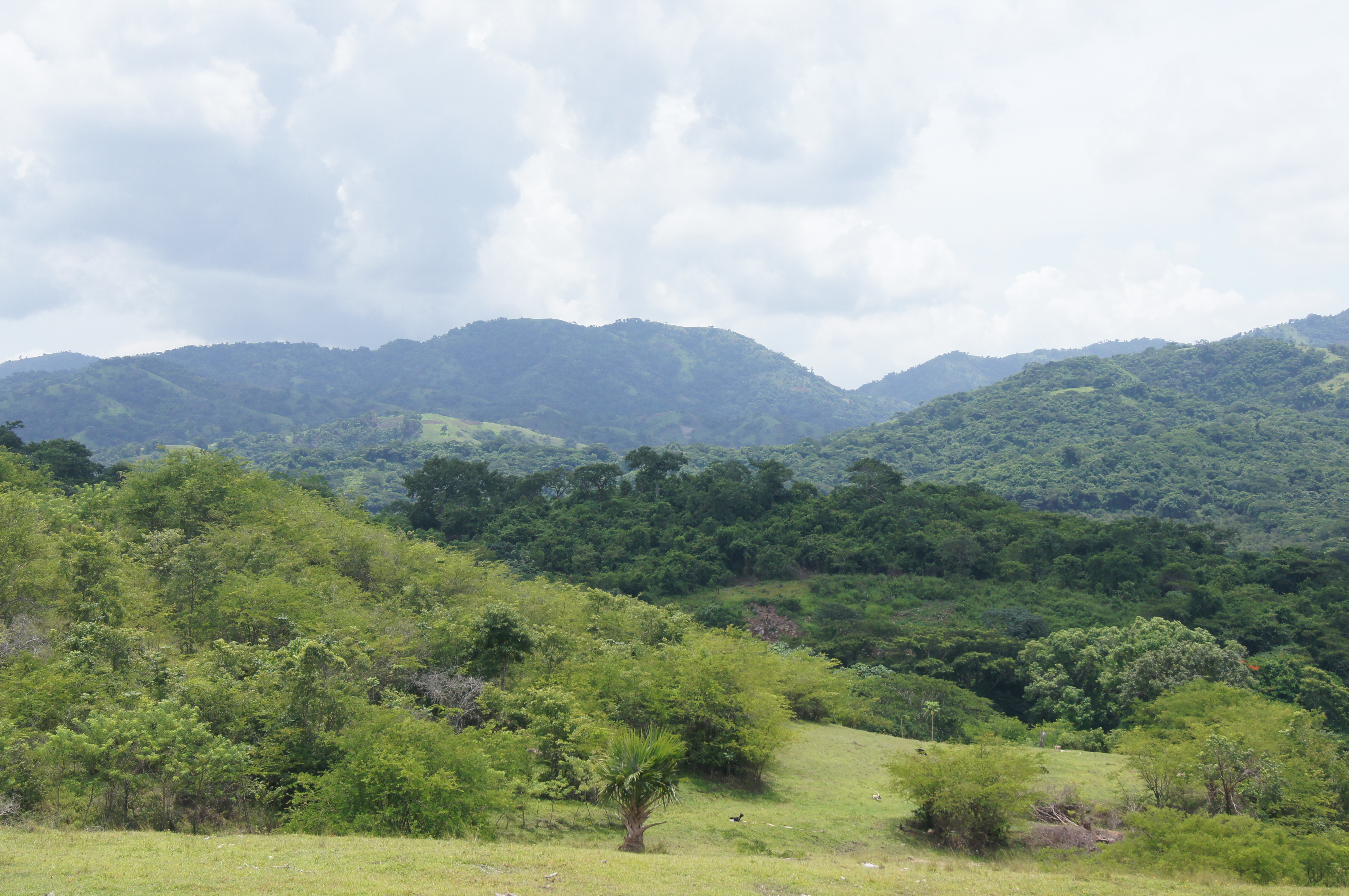
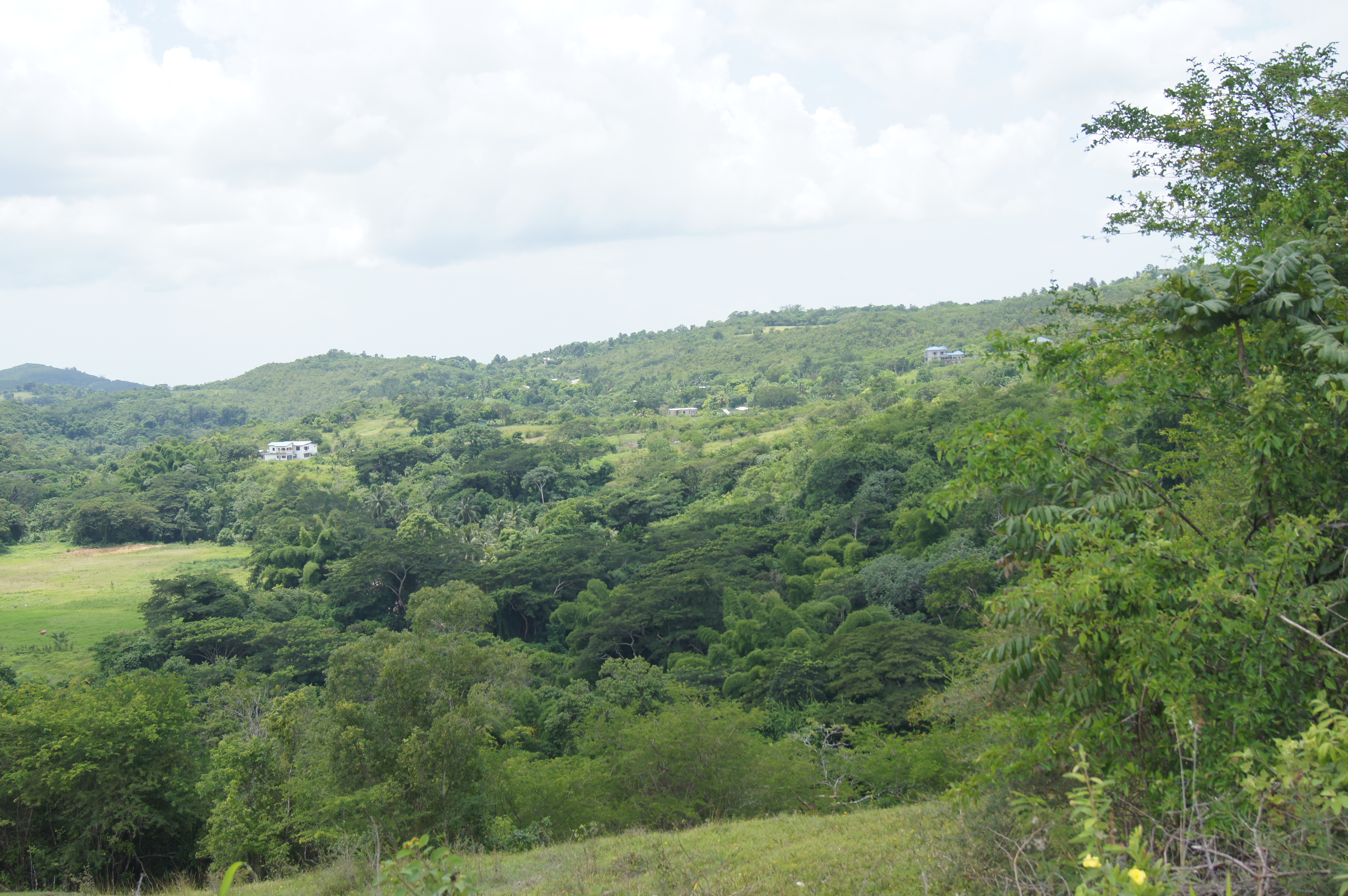
Home Pictures 936
#beautiful #beautifulday #travel #jamaica #ocean #sky #boat #blue #gorgeous #driving #inmotion #photography #photographer #ma5tr0 #followme #nofilter #instagood #instamood #instadaily #igers #photogallery #oldpic #gorgeous #instarelax
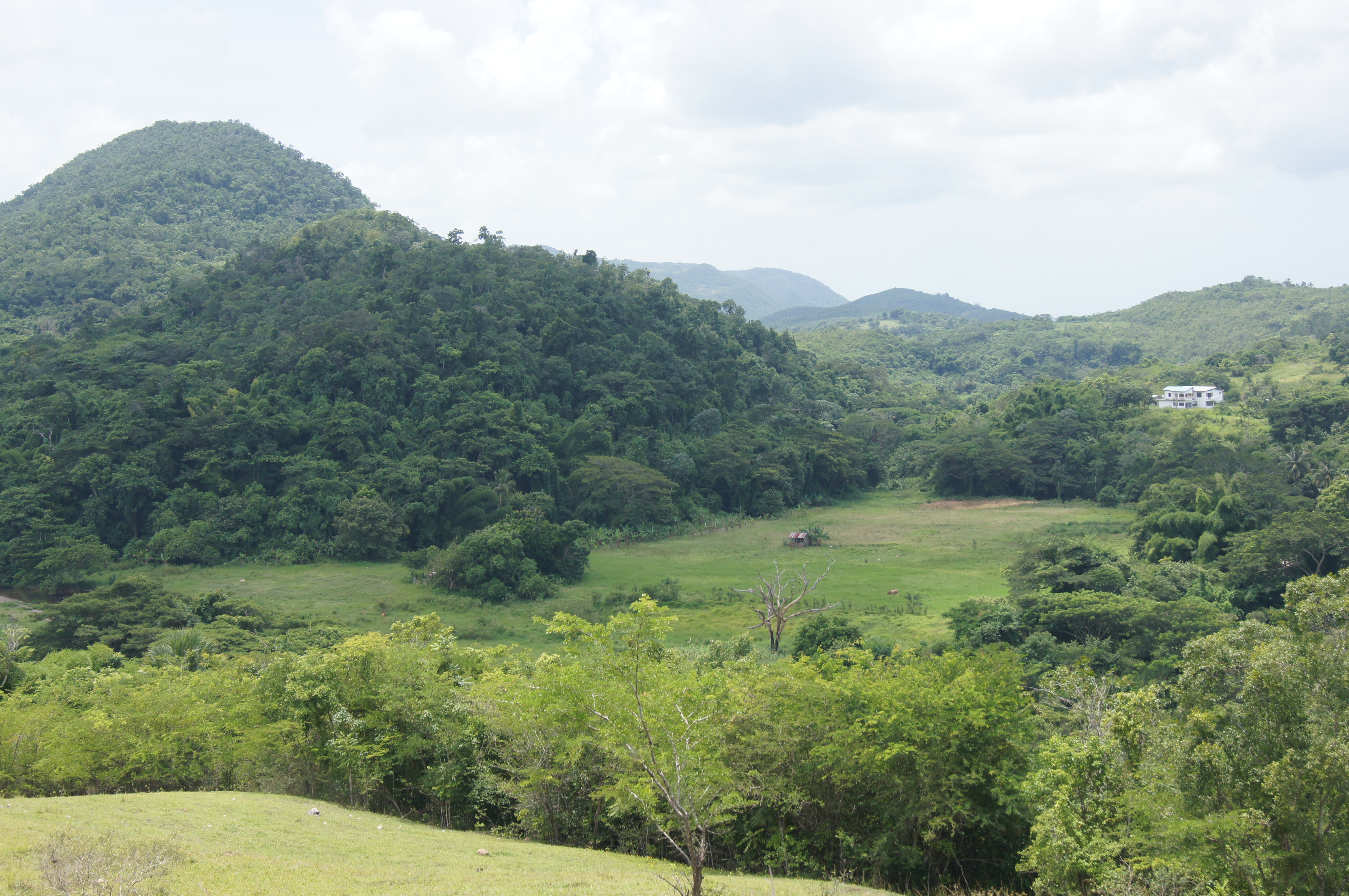
Home Pictures 927

Home Pictures 936

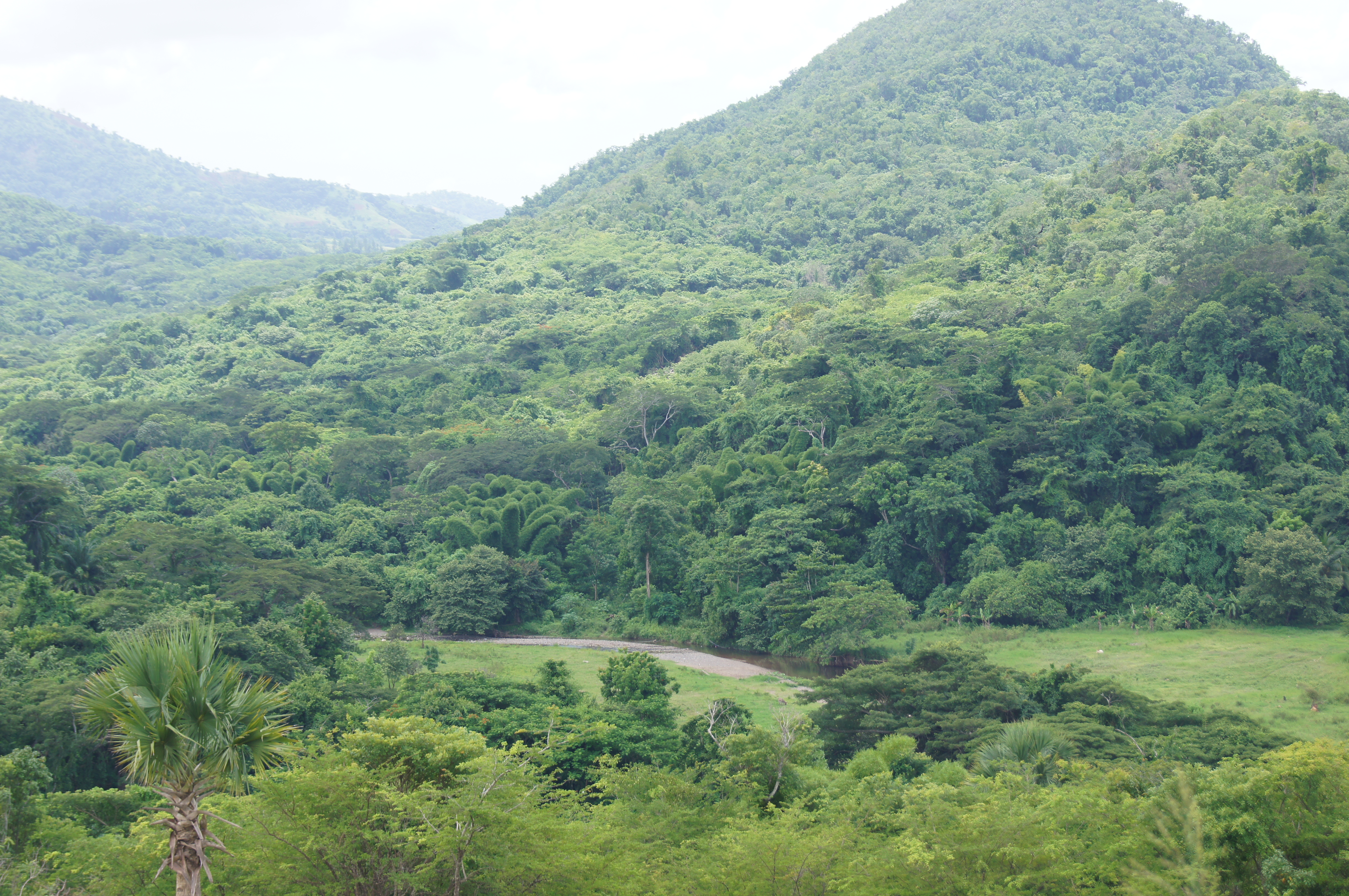
ROCK RIVER CLARENDON

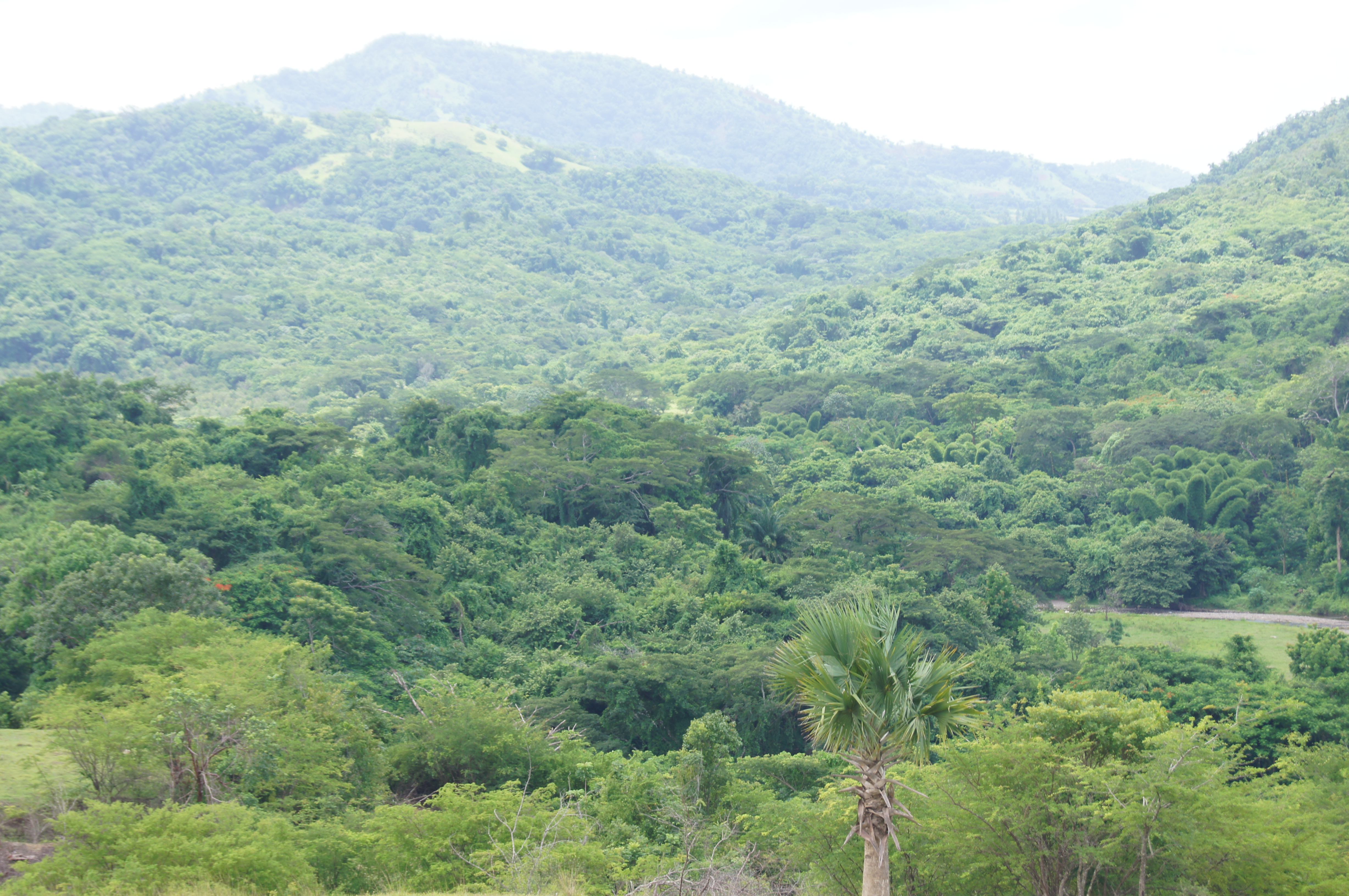
Home Pictures 932
Home Pictures 912

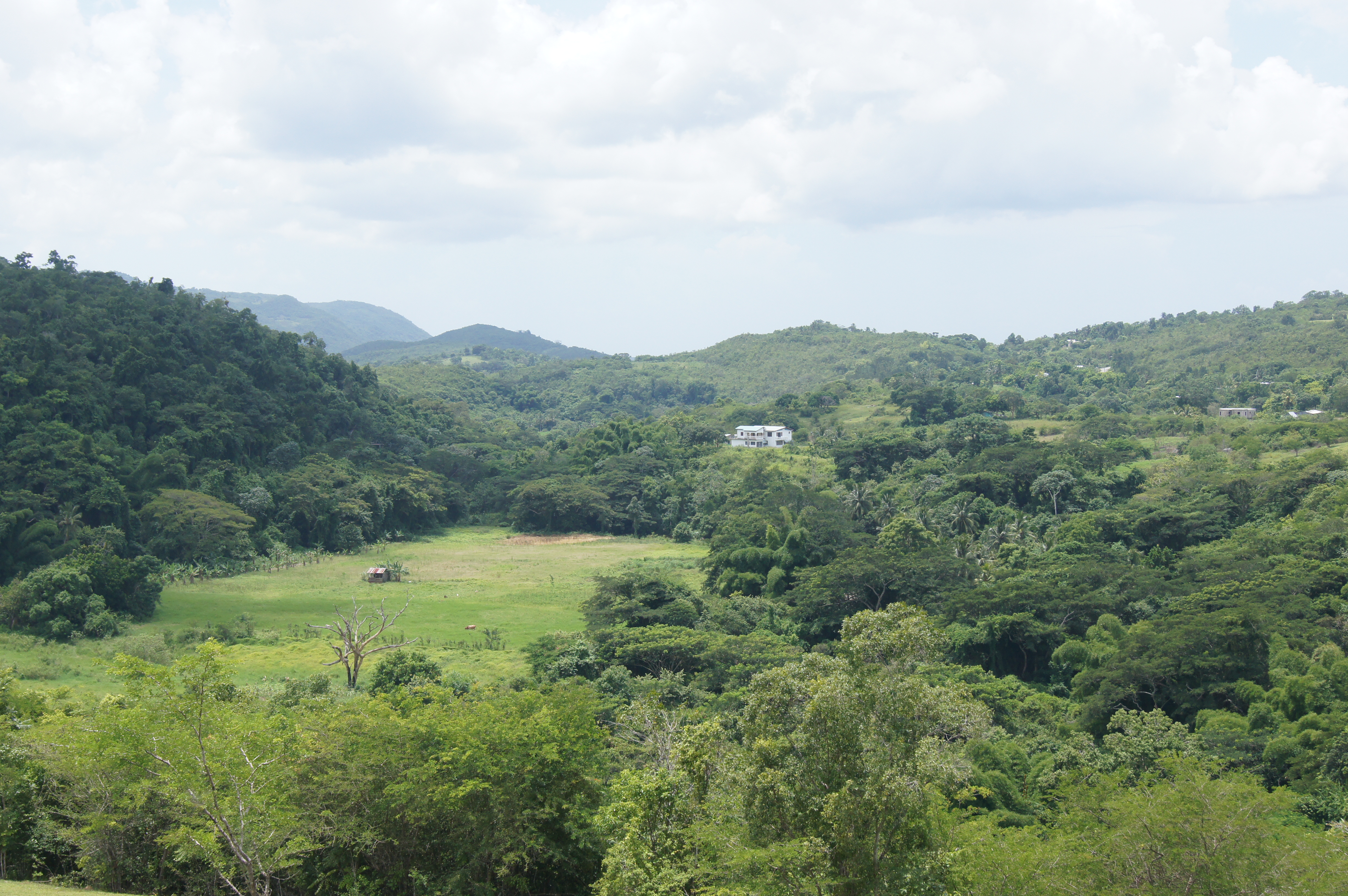
Home Pictures 940

ROCK RIVER CLARENDON
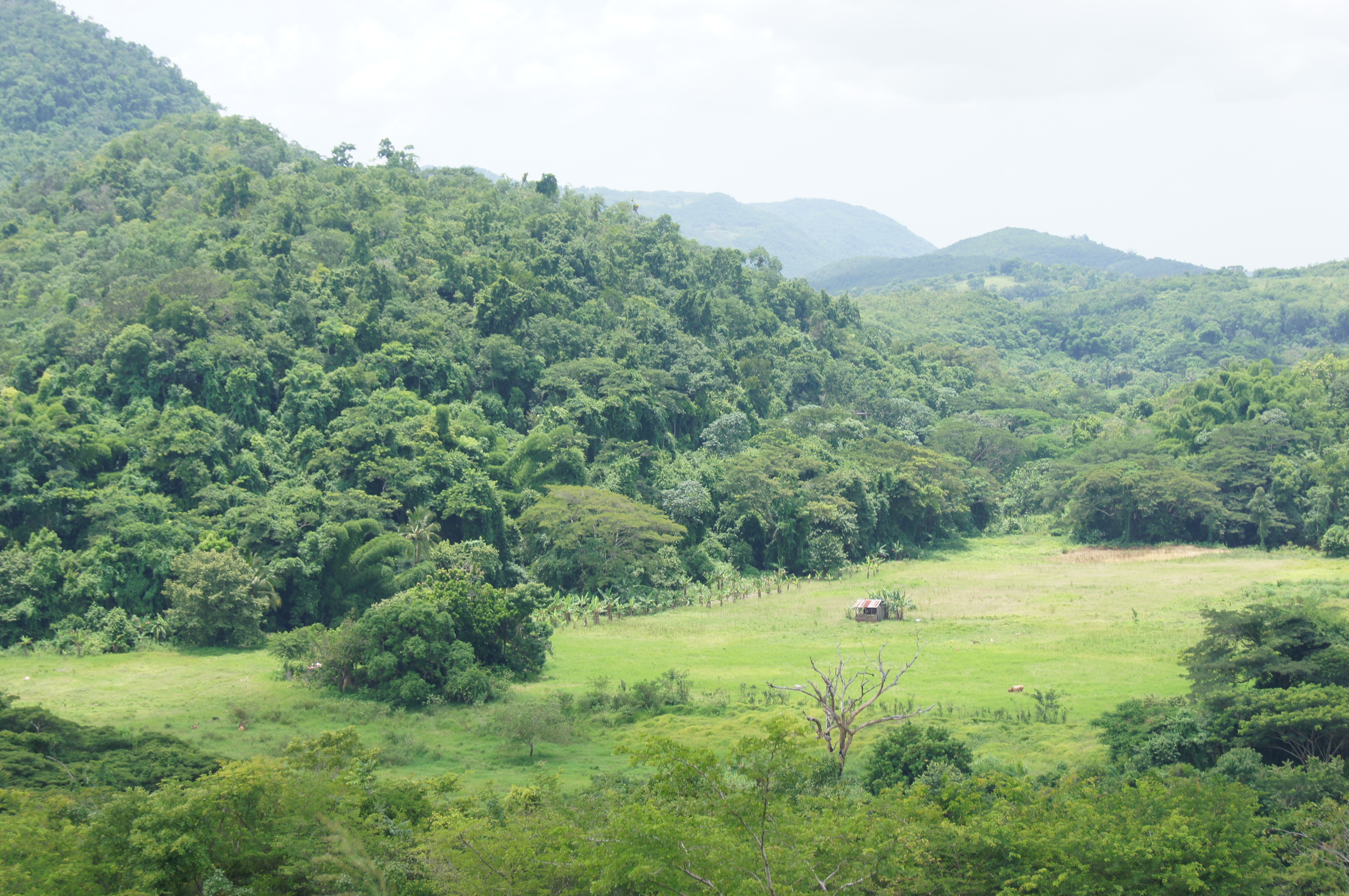
Home Pictures 950
Home Pictures 933
Home Pictures 938

Home Pictures 939
Home Pictures 930
Home Pictures 943
Home Pictures 942

Home Pictures 941

Home Pictures 933
Home Pictures 934

Home Pictures 930
Home Pictures 939
Topographic Map of Four Paths, Jamaica
Find elevation by address:

Places near Four Paths, Jamaica:
Bushy Park
Clarendon
Chapelton
Moores
Jamaica
Old Harbour
Marlie Drive
Worthy Park Estate
Mason River Nature Reserve
Saint Catherine Parish
Great Goat Island
Fairview Open Bible Church
Ardenne Ave, Spanish Town, Jamaica
Spanish Town
Brunswick Avenue
Hampton Green
Spanish Town Zone
Brunswick Street
Hellshire
North West 26th Way
Recent Searches:
- Elevation of East W.T. Harris Boulevard, E W.T. Harris Blvd, Charlotte, NC, USA
- Elevation of West Sugar Creek, Charlotte, NC, USA
- Elevation of Wayland, NY, USA
- Elevation of Steadfast Ct, Daphne, AL, USA
- Elevation of Lagasgasan, X+CQH, Tiaong, Quezon, Philippines
- Elevation of Rojo Ct, Atascadero, CA, USA
- Elevation of Flagstaff Drive, Flagstaff Dr, North Carolina, USA
- Elevation of Avery Ln, Lakeland, FL, USA
- Elevation of Woolwine, VA, USA
- Elevation of Lumagwas Diversified Farmers Multi-Purpose Cooperative, Lumagwas, Adtuyon, RV32+MH7, Pangantucan, Bukidnon, Philippines