Elevation of Burning Tree Trail, Franktown, CO, USA
Location: United States > Colorado > Douglas County > Franktown >
Longitude: -104.73437
Latitude: 39.400127
Elevation: 1927m / 6322feet
Barometric Pressure: 80KPa
Elevation Map:
Satellite Map:
Related Photos:
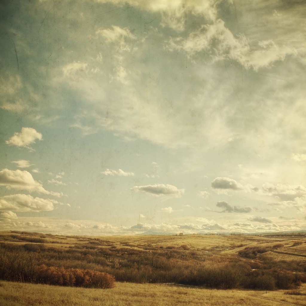
southern sky

Flood damage - East Plum Creek near I-25 near Wolfensberger Road
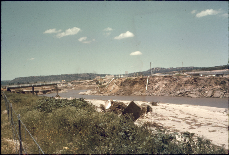
Flood damage - East Plum Creek near Douglas County High School
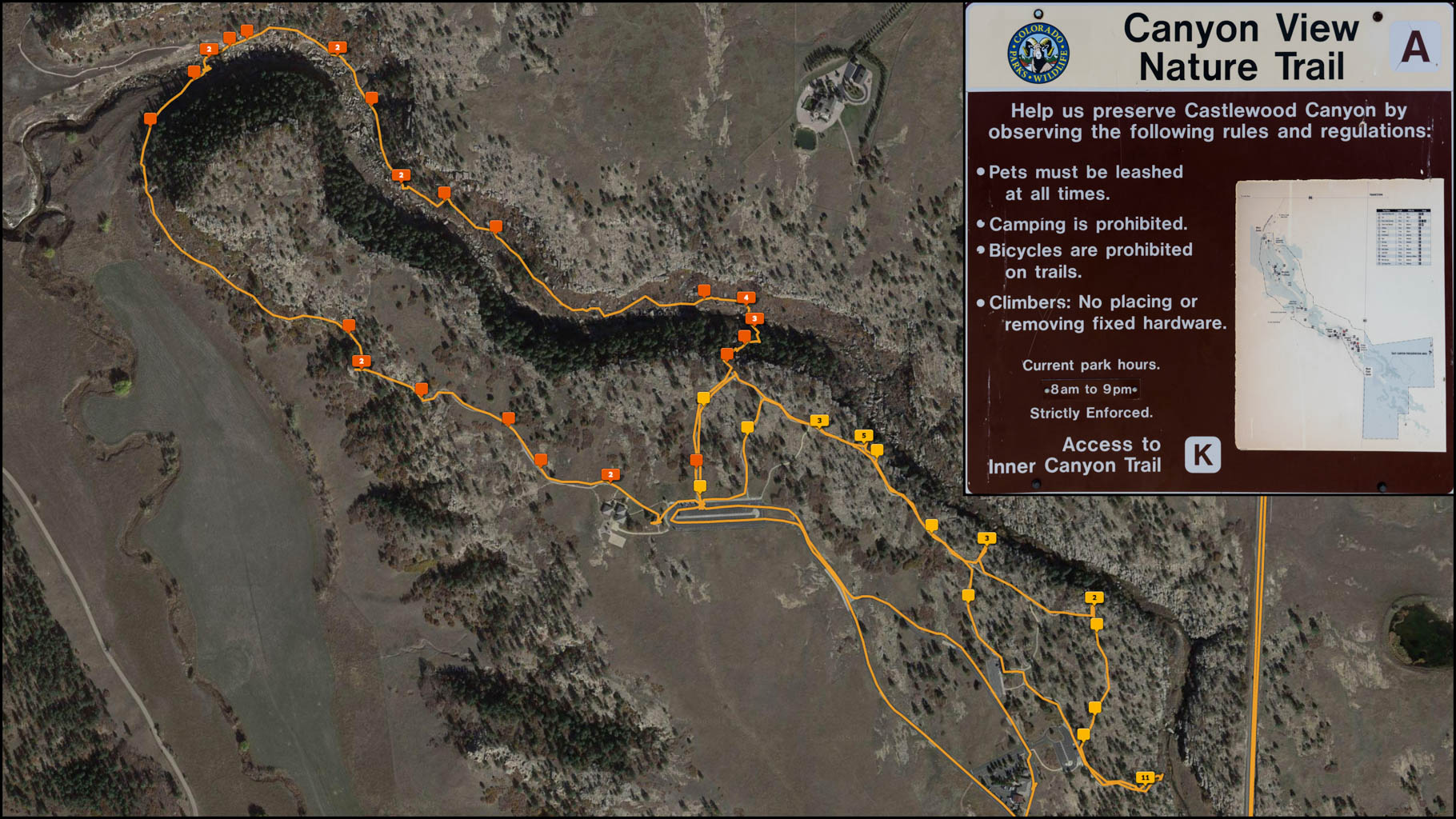
Our Track along the Canyon View Nature Trail
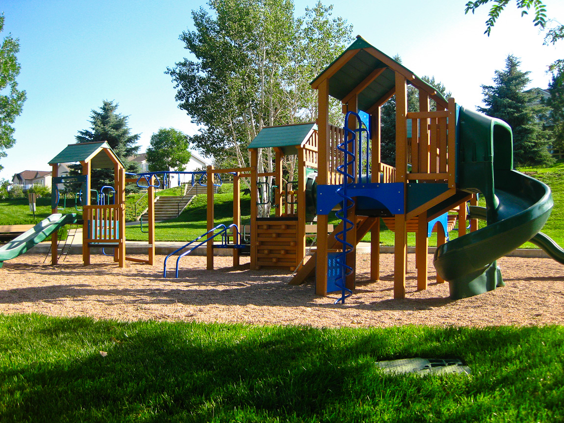
Tallman Gulch Playground
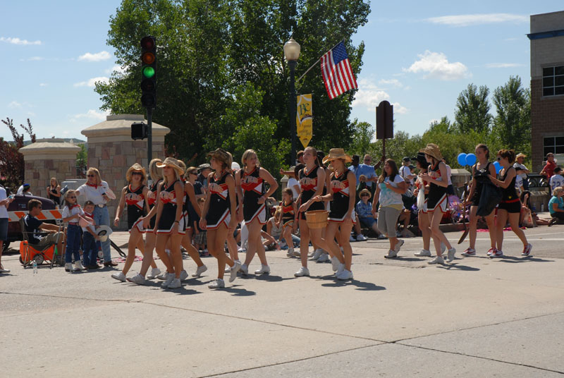
Castle View High School cheerleaders
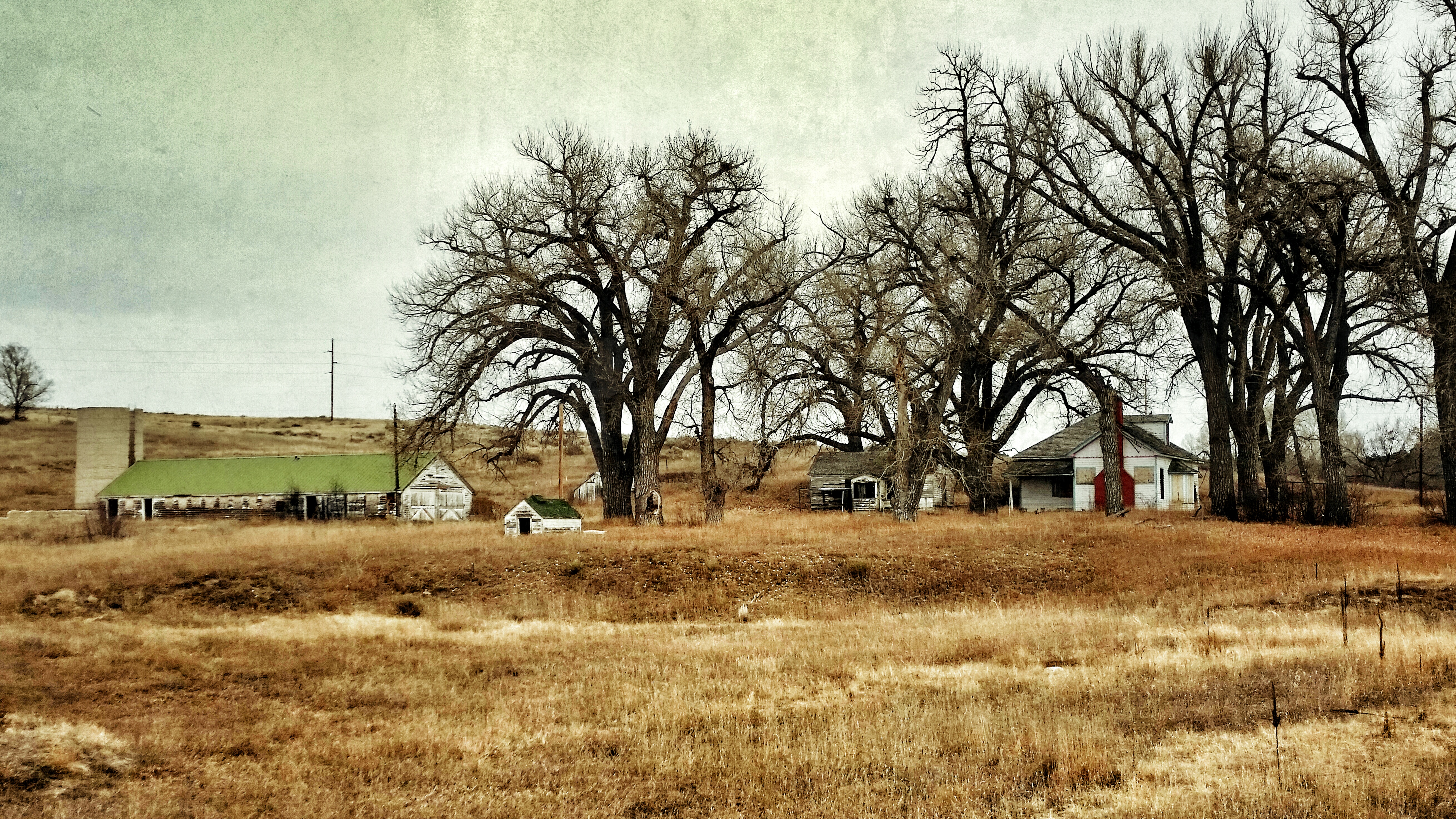
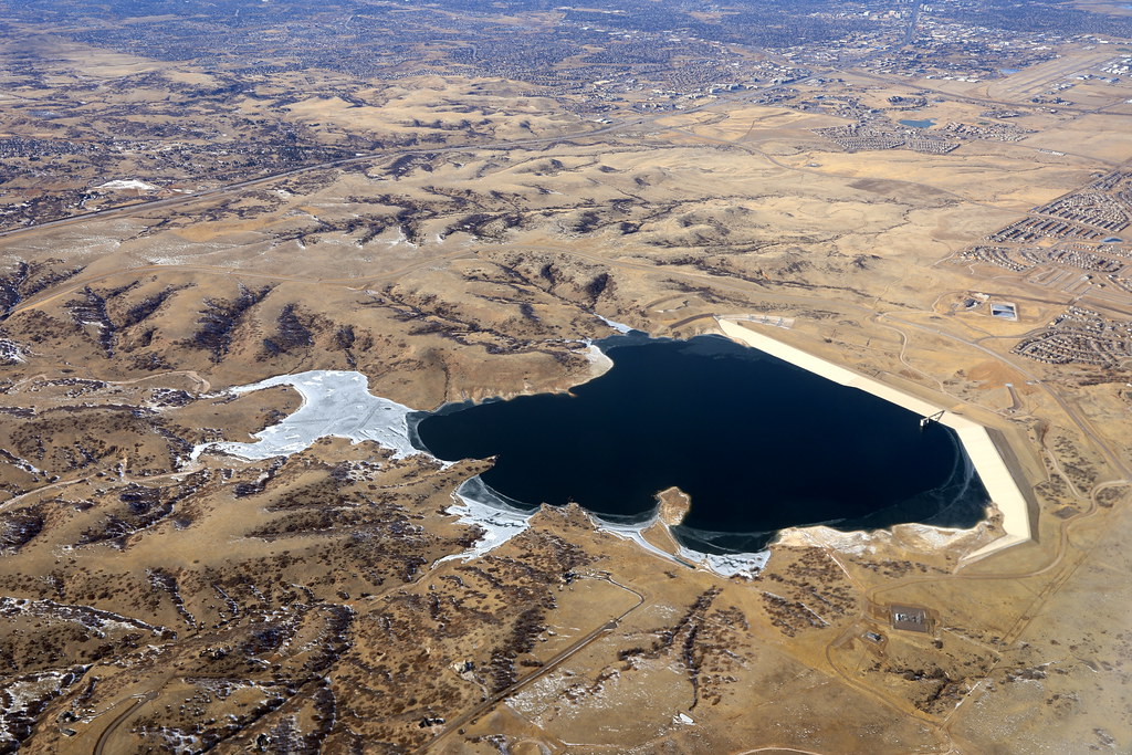
the valley of once was
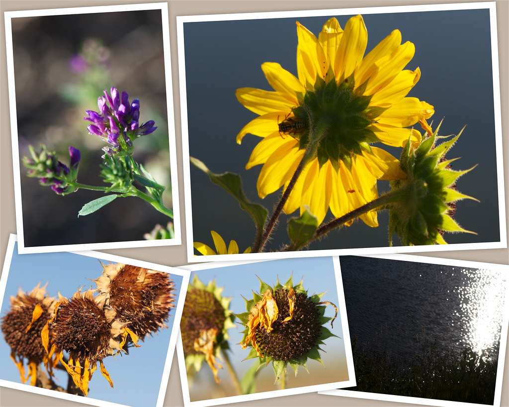
Saturday morning
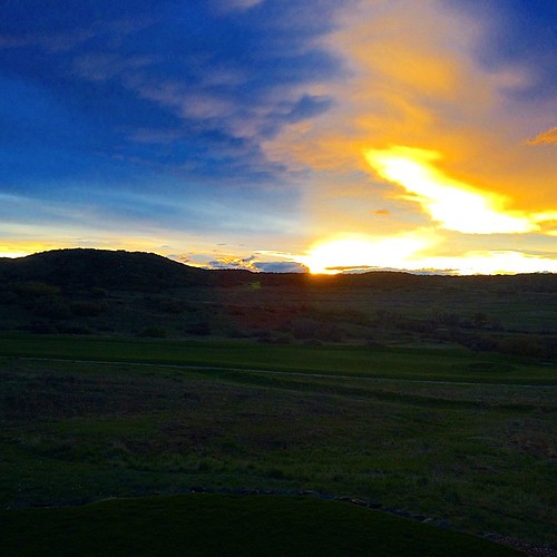
Another beautiful Bronco sunset view from the backyard...
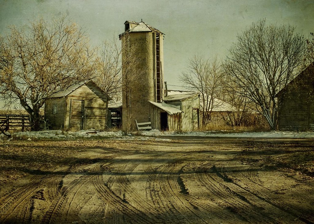
shadowed by the past
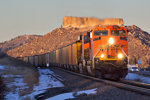
BNSF 9251 Castle Rock 9 Feb 16
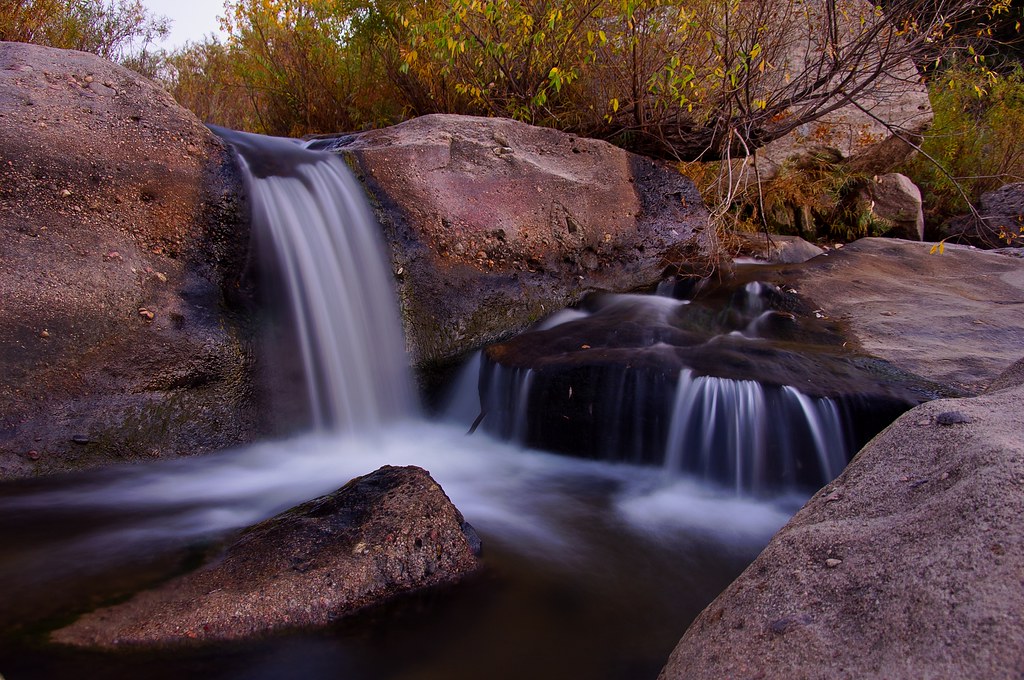
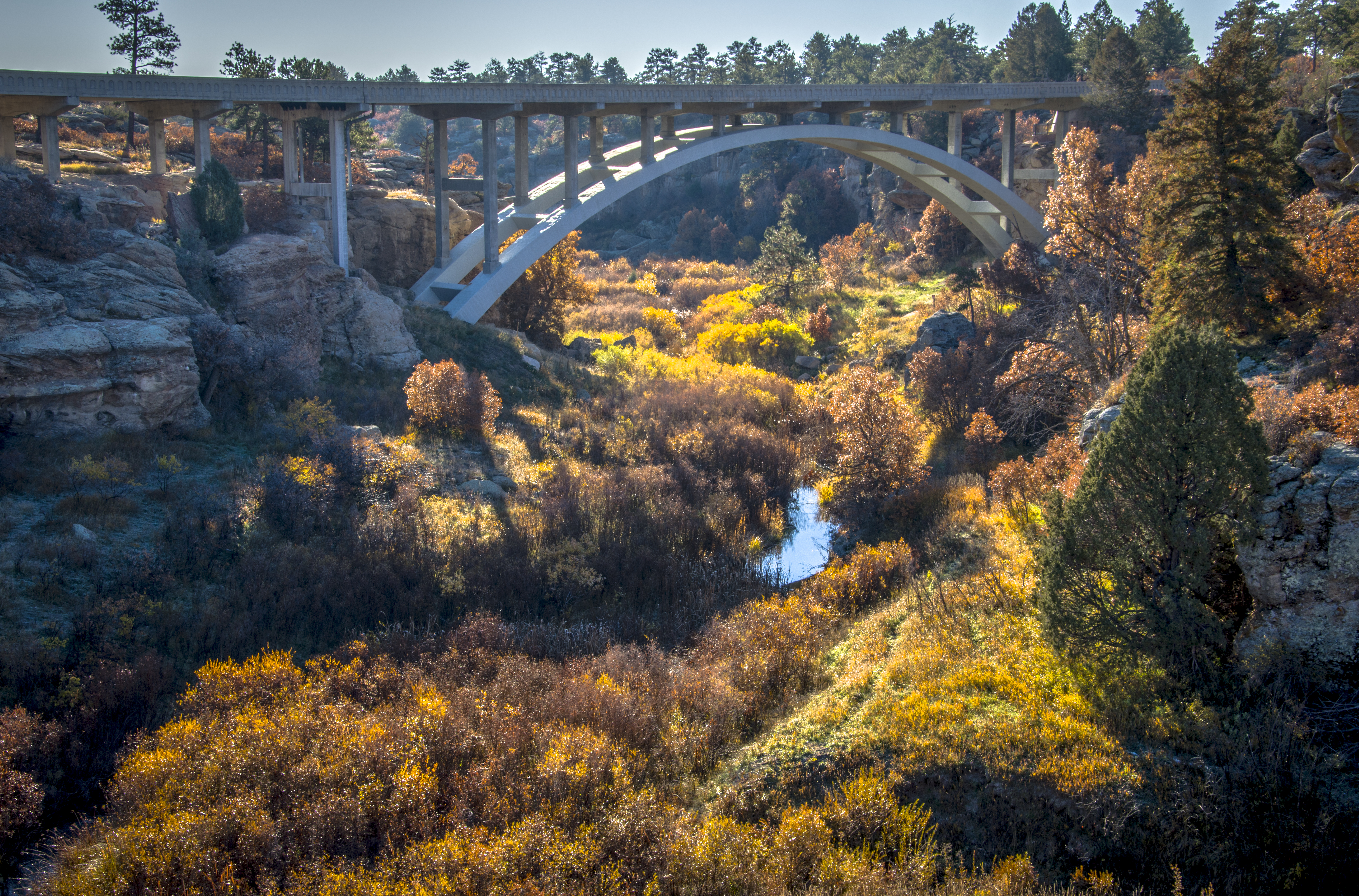
Another Castlewood Canyon Waterfall
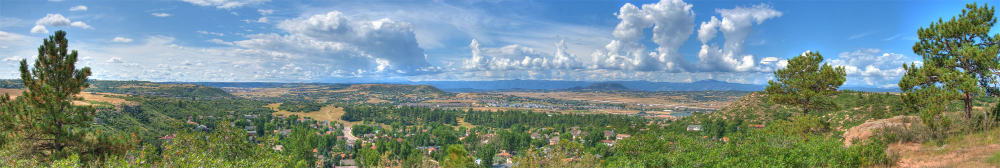
Castle Rock Colorado Panorama

A Romantic Glow?
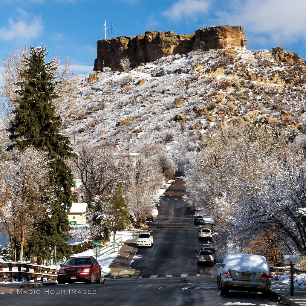
The Rock

dam ruins,side view
Canyon View Trail

The Castlewood Dam Ruins

Castle Rock in HDR

Basement View

Town of Castle Rock from "The Rock"

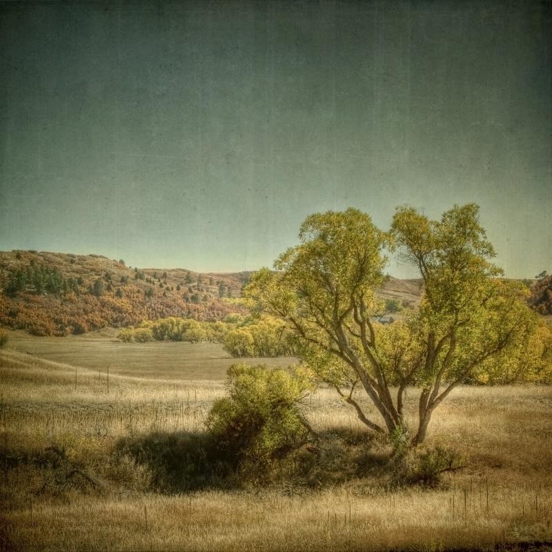
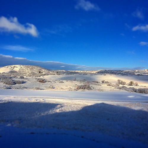
Country in Setting
Stroh Rd. Parker, Colorado
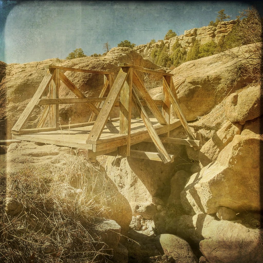
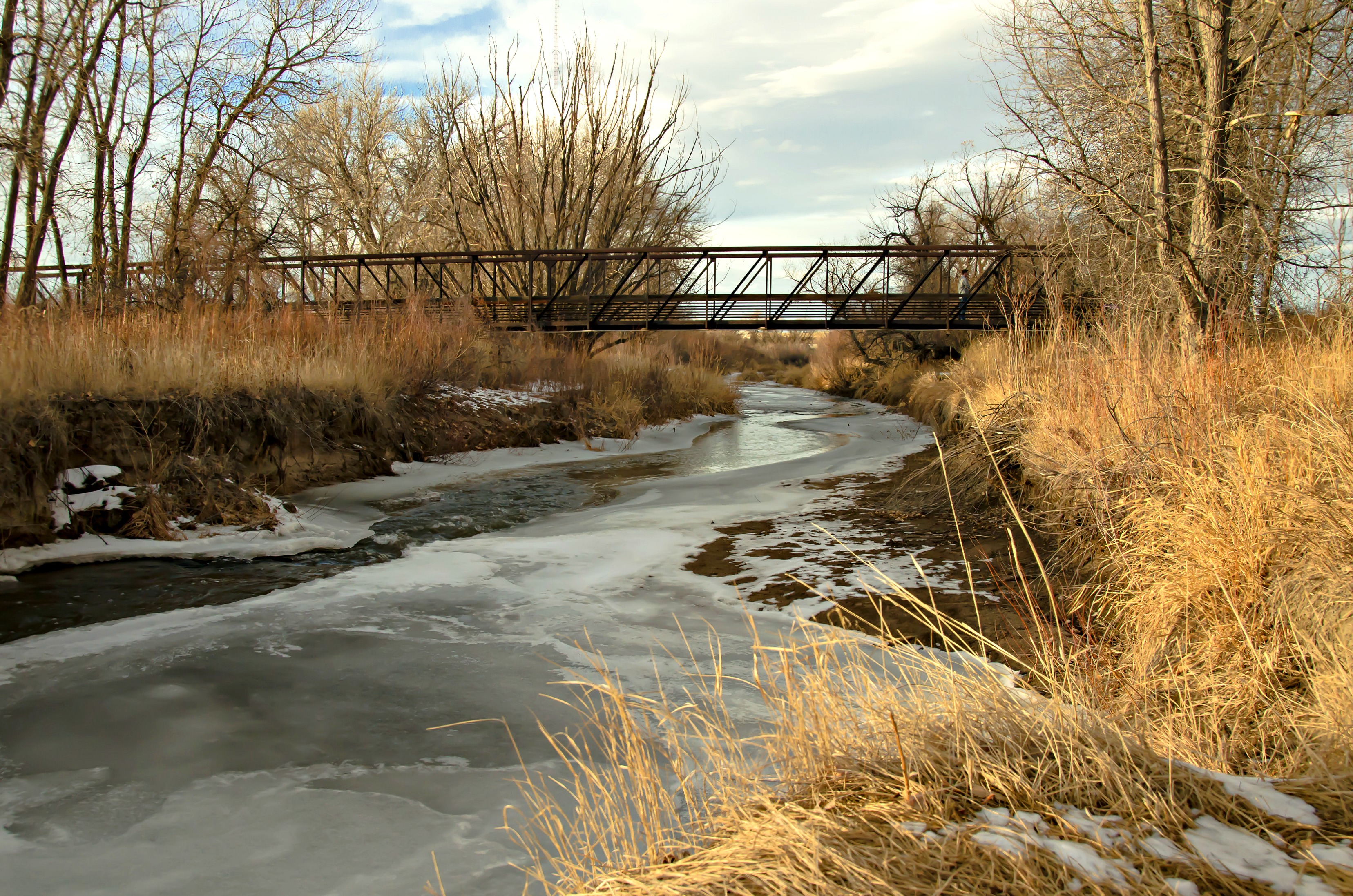
The foot bridge
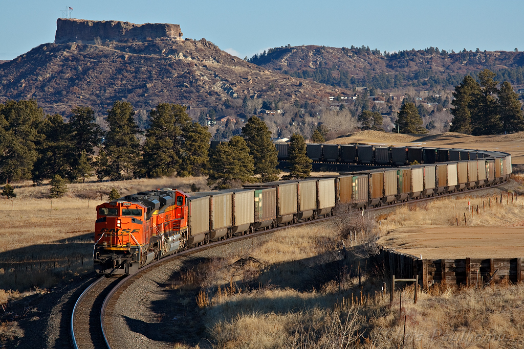
BNSF 9356 Castle Rock 22 Jan 11
2017-01-30_1415-00-140 Denver Colorado

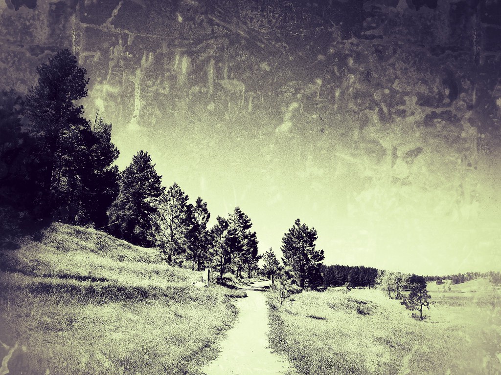
meadow road
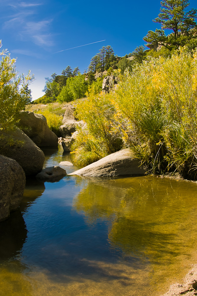
Castlewood Canyon

2012-09-02 11.14.15
Castlewood Canyon State Park Colorado

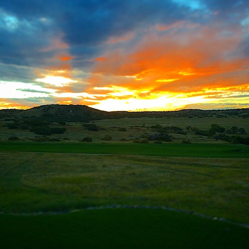
Approach shot from the fairway in a late day round #golf #colorado #clouds
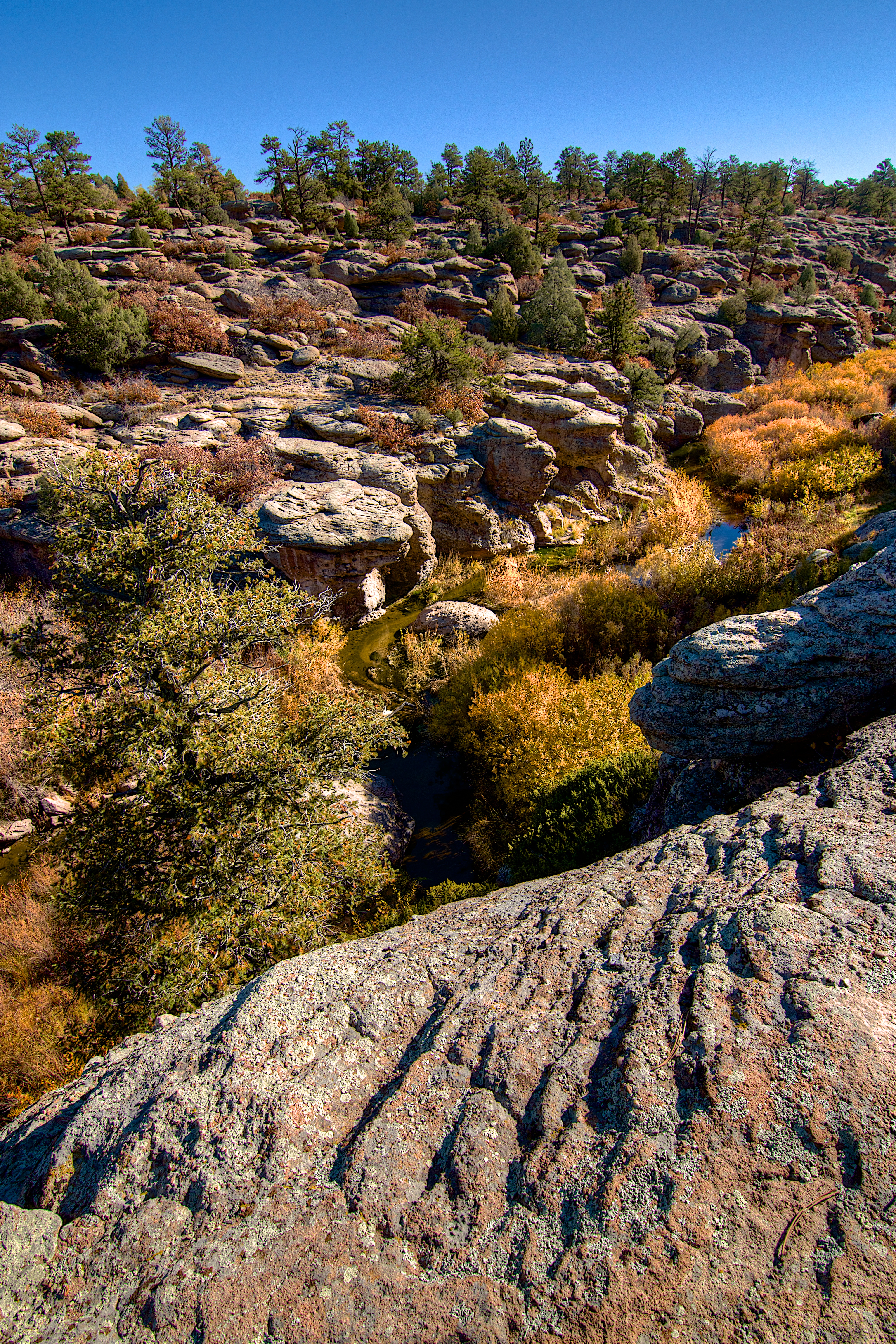
Castlewood Canyon State Park Colorado
On The Banks of Cherry Creek
The birds are singing at sunset...
Golfed in shorts three days ago. Colorado...

Castlewood Canyon
Topographic Map of Burning Tree Trail, Franktown, CO, USA
Find elevation by address:

Places near Burning Tree Trail, Franktown, CO, USA:
1688 E Timber Meadow Ct
N State Hwy 83, Franktown, CO, USA
Franktown
3580 N State Hwy 83
9126 Council Crossing Dr
1669 Columbine Dr
1906 Columbine Dr
Wild Crocus Cir, Parker, CO, USA
5245 Bur Oak Ln
10420 Holden Cir
5774 Saddle Creek Trail
5889 Hidden Oaks Ct
10880 E Grant Rd
8911 Thunderbird Rd
6180 Stormy Mountain Ct
9281 Lone Timber Ct
The Pinery
North Pinery
8735 Pawnee Rd
8736 Cherokee Ct
Recent Searches:
- Elevation of Congressional Dr, Stevensville, MD, USA
- Elevation of Bellview Rd, McLean, VA, USA
- Elevation of Stage Island Rd, Chatham, MA, USA
- Elevation of Shibuya Scramble Crossing, 21 Udagawacho, Shibuya City, Tokyo -, Japan
- Elevation of Jadagoniai, Kaunas District Municipality, Lithuania
- Elevation of Pagonija rock, Kranto 7-oji g. 8"N, Kaunas, Lithuania
- Elevation of Co Rd 87, Jamestown, CO, USA
- Elevation of Tenjo, Cundinamarca, Colombia
- Elevation of Côte-des-Neiges, Montreal, QC H4A 3J6, Canada
- Elevation of Bobcat Dr, Helena, MT, USA