Elevation of Thunderbird Rd, Parker, CO, USA
Location: United States > Colorado > Douglas County > Parker > North Pinery >
Longitude: -104.71978
Latitude: 39.4509923
Elevation: 1941m / 6368feet
Barometric Pressure: 80KPa
Elevation Map:
Satellite Map:
Related Photos:

the valley of once was
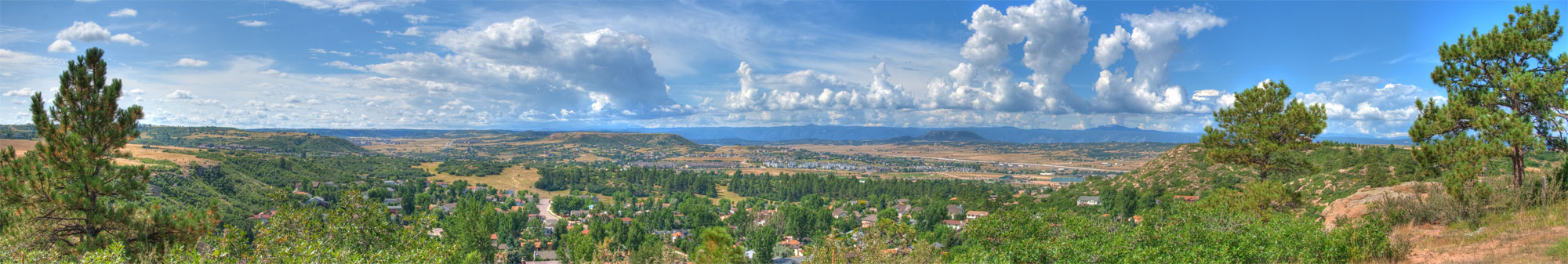
Castle Rock Colorado Panorama
The Rock
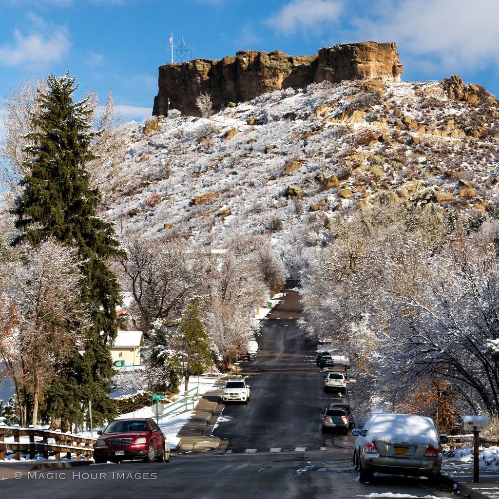
Castle Rock in Winter

Flood damage - East Plum Creek near I-25 near Wolfensberger Road
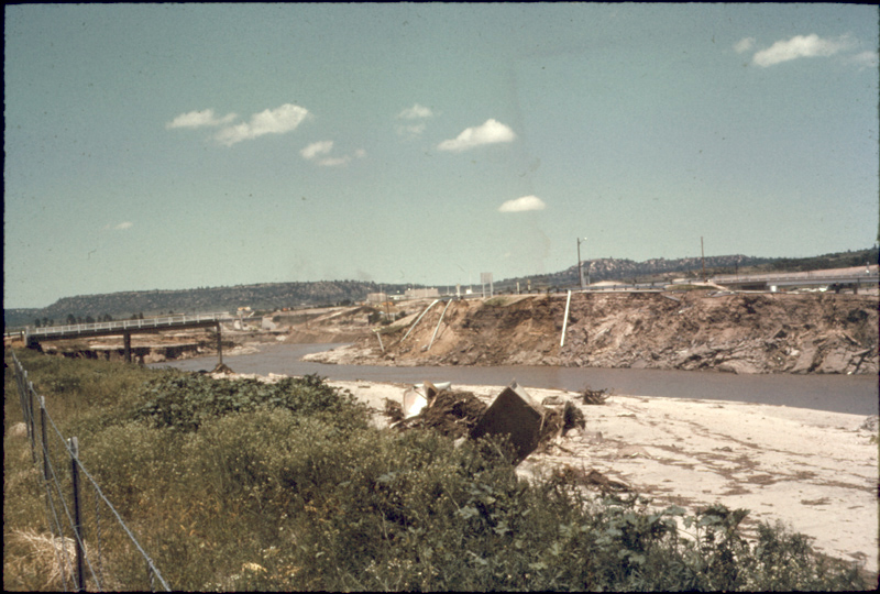
Flood damage - East Plum Creek near Douglas County High School

Heart Rate Monitor Imp
Layers Removed

shadowed by the past

southern sky

Saturday morning
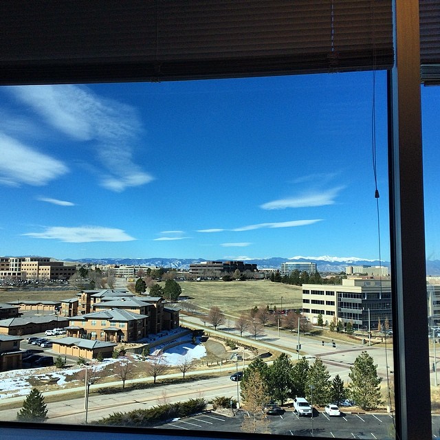
My view today. Not complaining. #nofilter #springiscoming #readyforsummer #ihatethecold

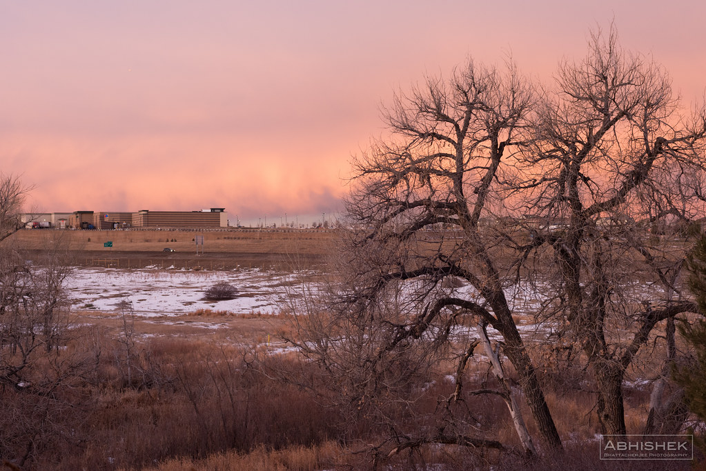
A Romantic Glow?
Newlin Gulch trail

dam ruins,side view
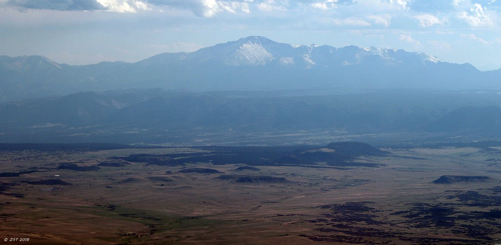
Pike's Peak

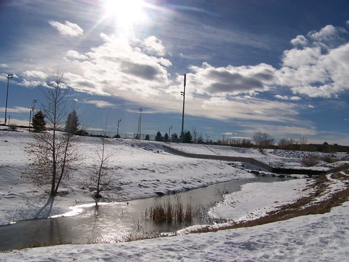
promise of spring
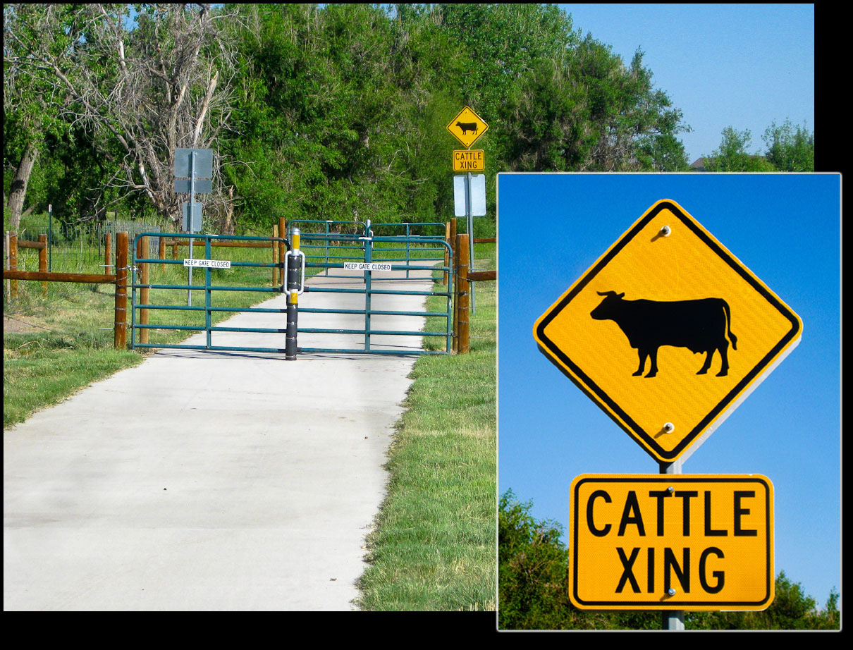
Cattle Crossing Trail
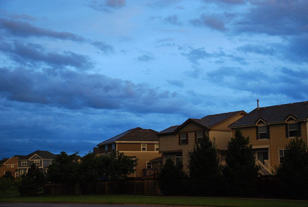
saturated suburbs

Canyon View Trail

Castle Rock

field of flowers
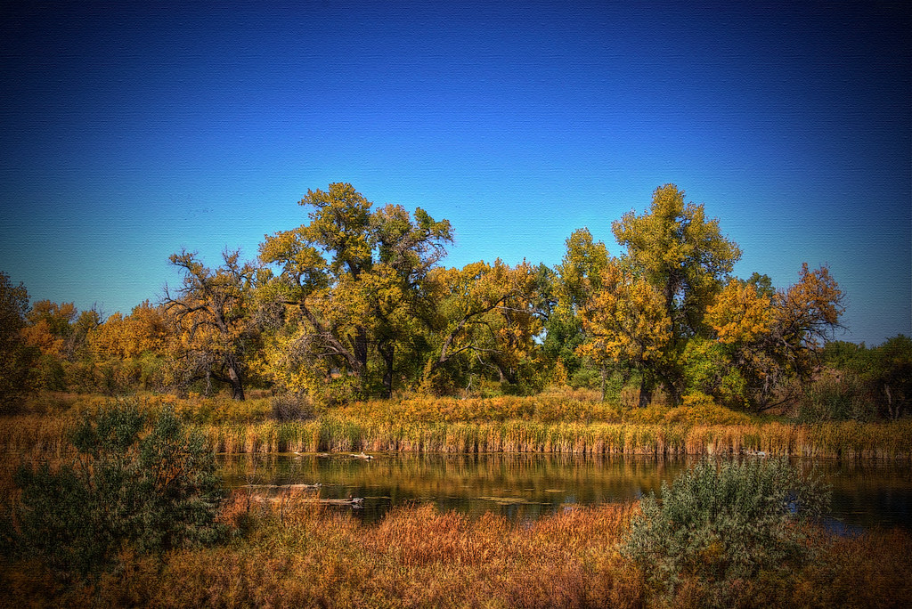
Fall Colors
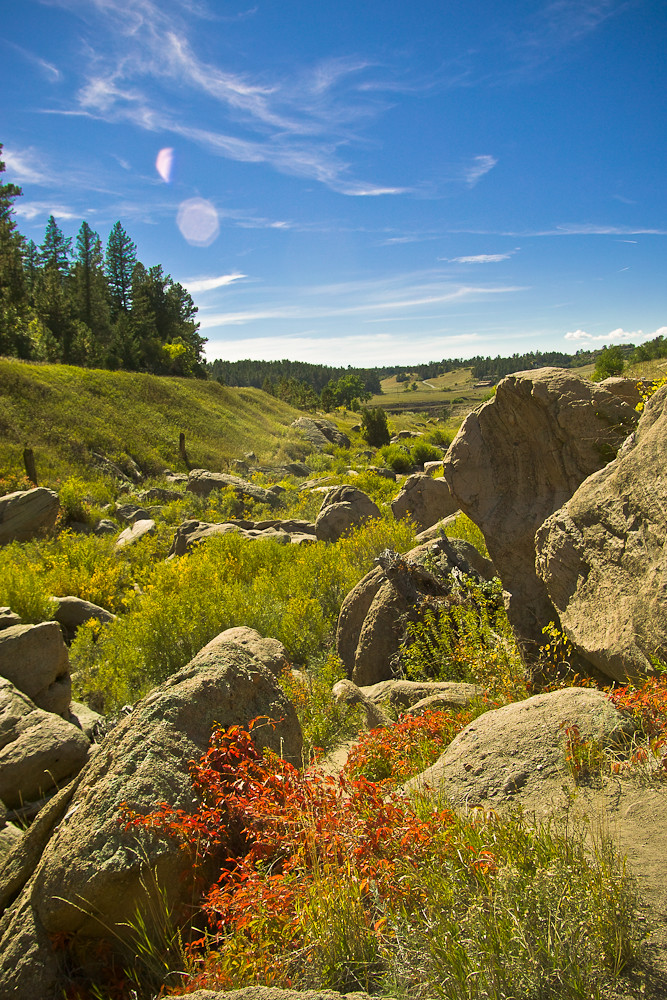
Castlewood Canyon

Castlewood Canyon State Park Colorado

meadow road

BNSF 6078 at Castle Rock, Colorado

Life is hard, sometimes.
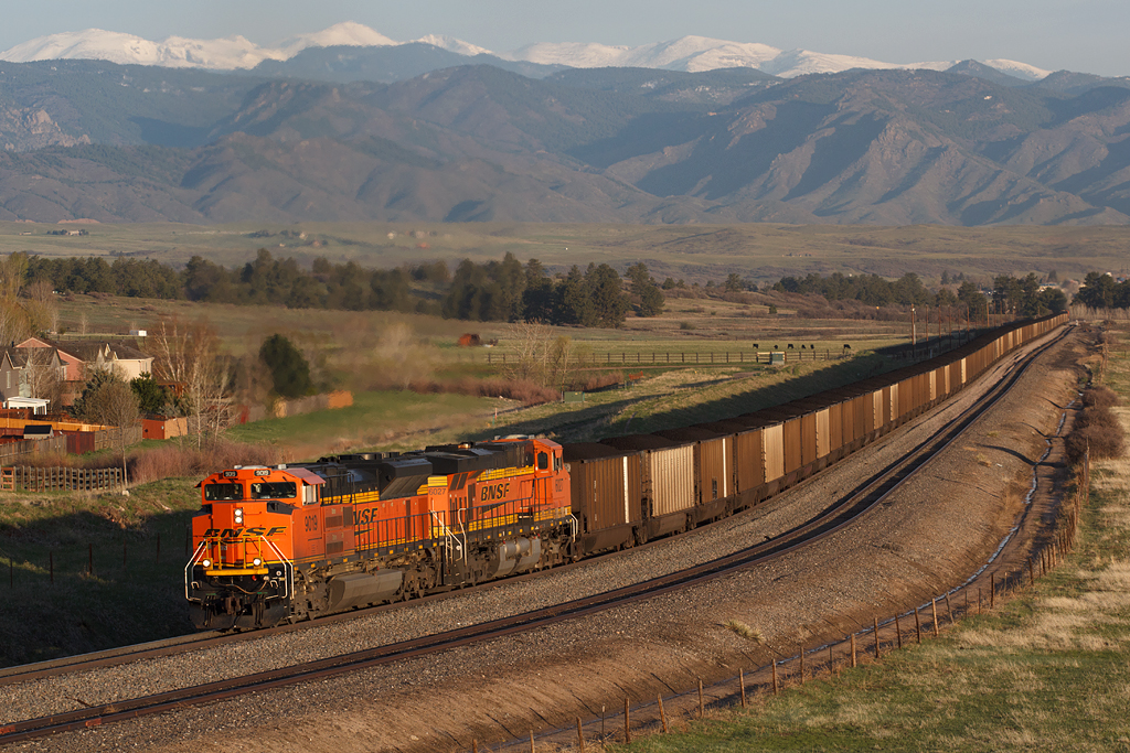
BNSF 9109 Castle Rock 5 May 18
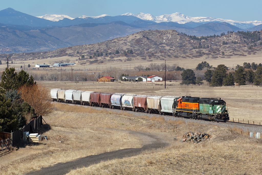
BNSF 1933 Castle Rock 1 Mar 18
Morning light
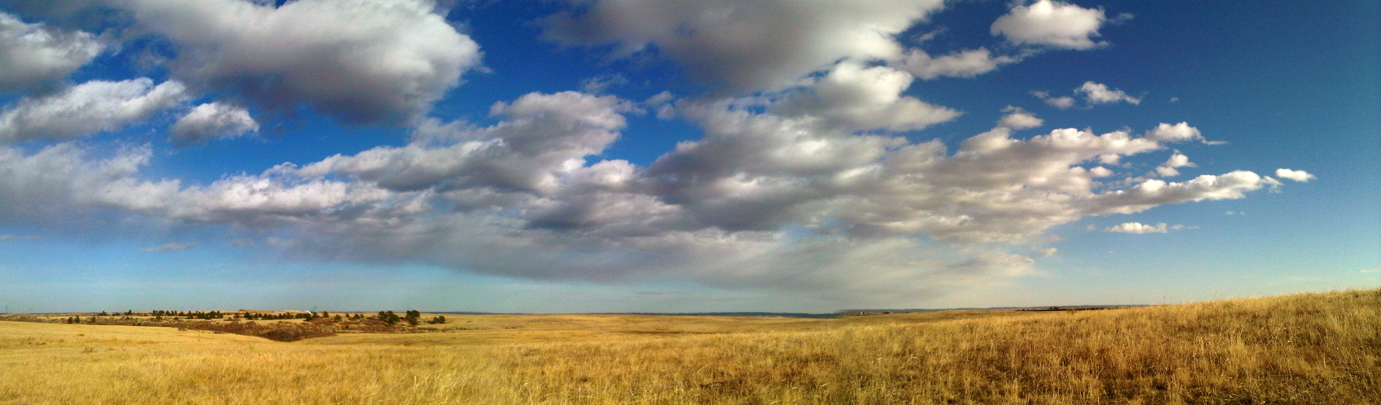
Prairie in Douglas County, Colorado
sunset begins

Another beautiful Bronco sunset view from the backyard...
Castlewood Canyon State Park Colorado
Churchill's 4th ACE. #colorado #praderagolfclub #holeinone #ifyoudontlovecoloradofuckyou #swingjuice

Hay rolls

The birds are singing at sunset...
Topographic Map of Thunderbird Rd, Parker, CO, USA
Find elevation by address:

Places near Thunderbird Rd, Parker, CO, USA:
6180 Stormy Mountain Ct
5889 Hidden Oaks Ct
8735 Pawnee Rd
8736 Cherokee Ct
9281 Lone Timber Ct
North Pinery
The Pinery
Alpine Dr, Parker, CO, USA
7543 E Windlawn
5774 Saddle Creek Trail
Wild Crocus Cir, Parker, CO, USA
10687 Evans Ridge Rd
5245 Bur Oak Ln
7868 Forest Keep Cir
7894 Forest Keep Cir
10867 Evans Ridge Rd
10867 Evans Ridge Rd
10402 Chinook Trail
10402 Chinook Trail
9491 E Pikes Peak Way
Recent Searches:
- Elevation of Kreuzburger Weg 13, Düsseldorf, Germany
- Elevation of Gateway Blvd SE, Canton, OH, USA
- Elevation of East W.T. Harris Boulevard, E W.T. Harris Blvd, Charlotte, NC, USA
- Elevation of West Sugar Creek, Charlotte, NC, USA
- Elevation of Wayland, NY, USA
- Elevation of Steadfast Ct, Daphne, AL, USA
- Elevation of Lagasgasan, X+CQH, Tiaong, Quezon, Philippines
- Elevation of Rojo Ct, Atascadero, CA, USA
- Elevation of Flagstaff Drive, Flagstaff Dr, North Carolina, USA
- Elevation of Avery Ln, Lakeland, FL, USA