Elevation of Pawnee Rd, Parker, CO, USA
Location: United States > Colorado > Douglas County > Parker > North Pinery >
Longitude: -104.72340
Latitude: 39.4552169
Elevation: 1923m / 6309feet
Barometric Pressure: 80KPa
Elevation Map:
Satellite Map:
Related Photos:
southern sky

A Romantic Glow?
The Rock
View from Lone Tree Kaiser Permanente
1997.043.0015
the valley of once was
shadowed by the past
Another beautiful Bronco sunset view from the backyard...
My view today. Not complaining. #nofilter #springiscoming #readyforsummer #ihatethecold

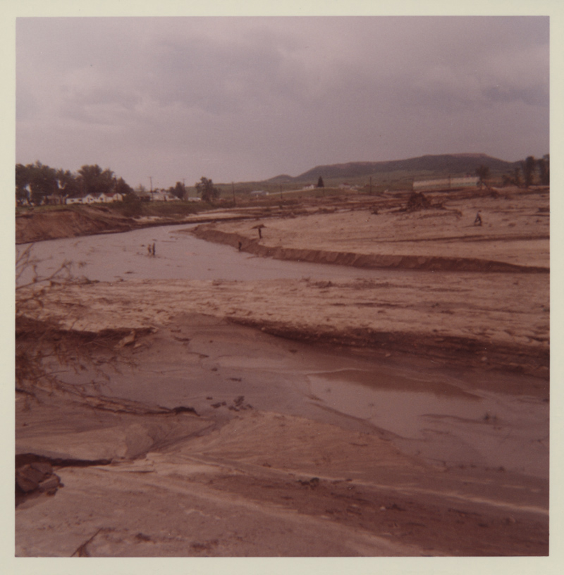
The Castlewood Dam Ruins
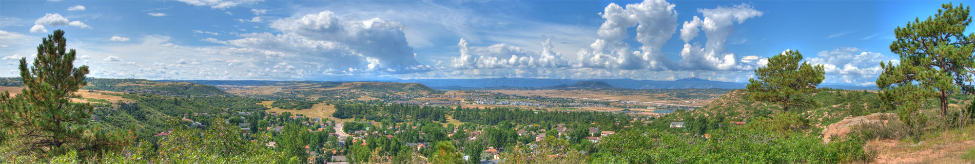
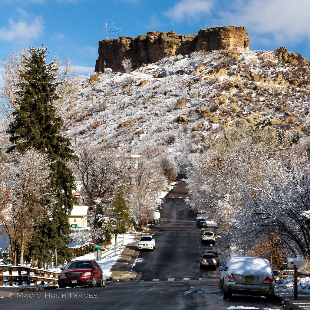
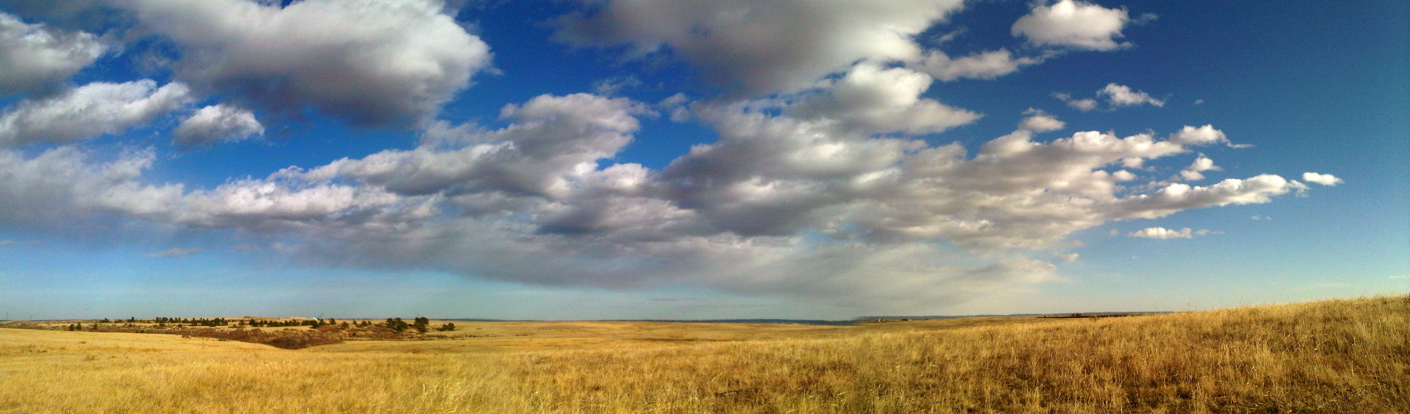
Castle Rock Colorado Panorama
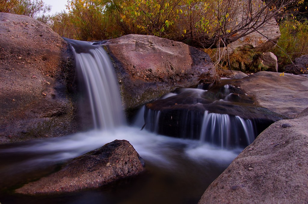
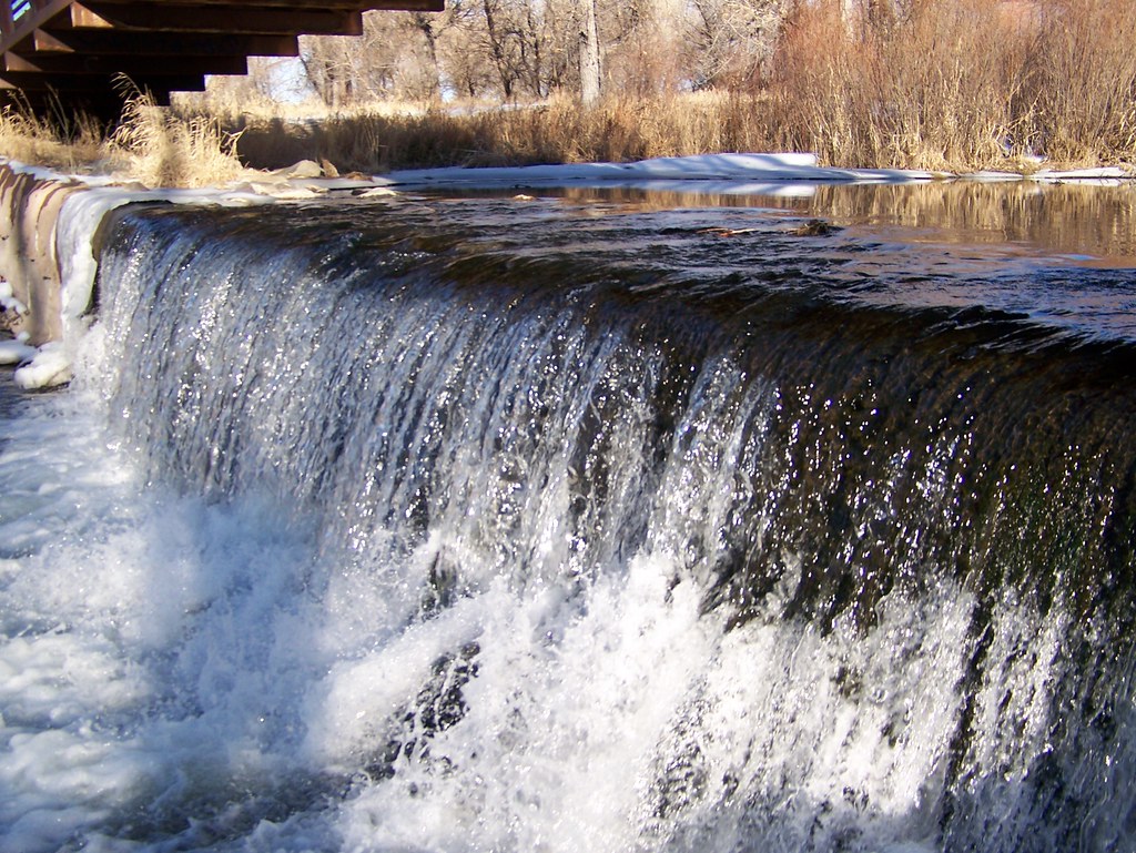
Another Castlewood Canyon Waterfall

admist the many
Newlin Gulch trail

dam ruins,side view
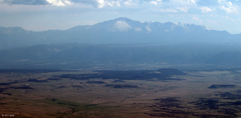
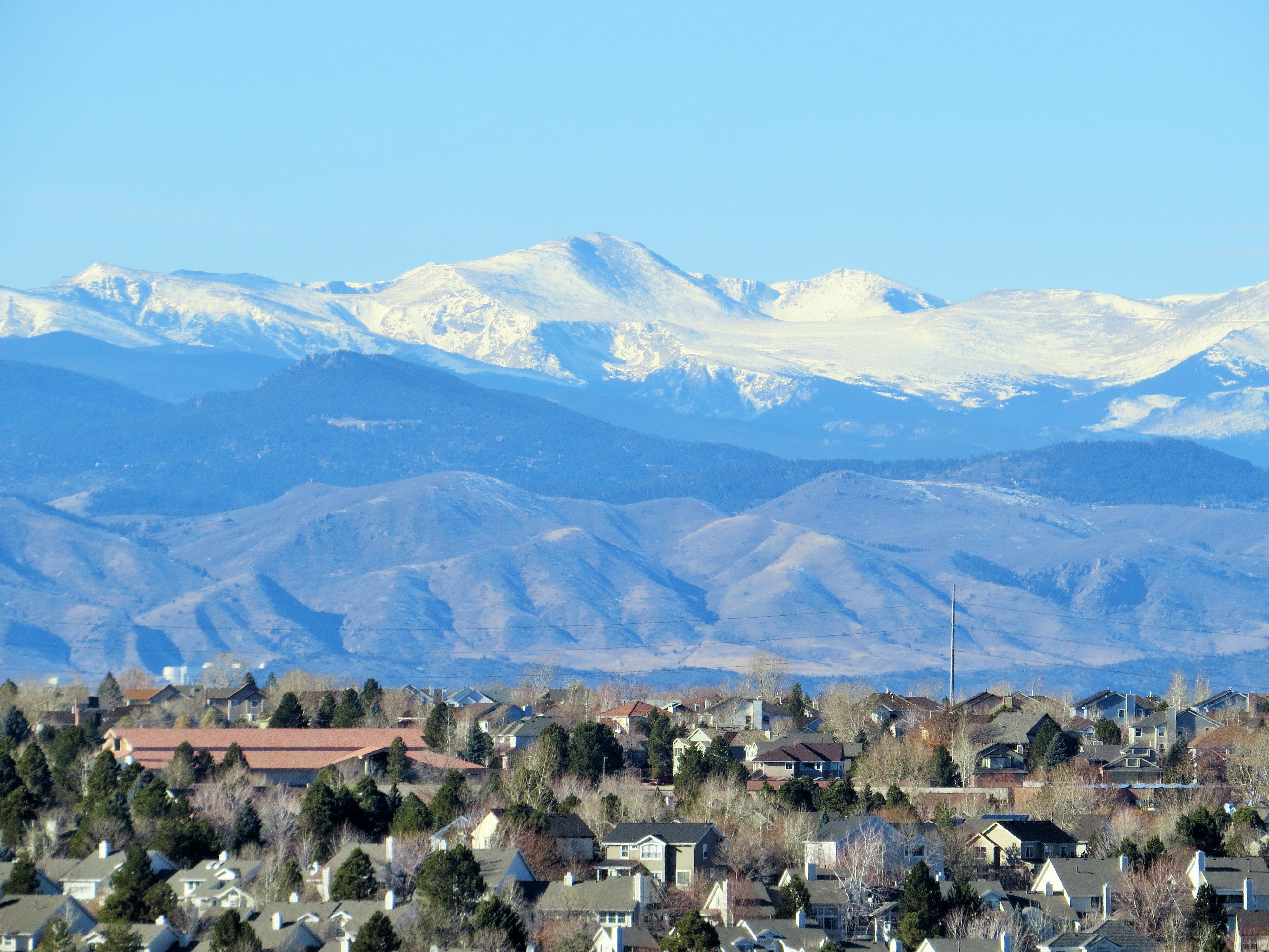
Pike's Peak
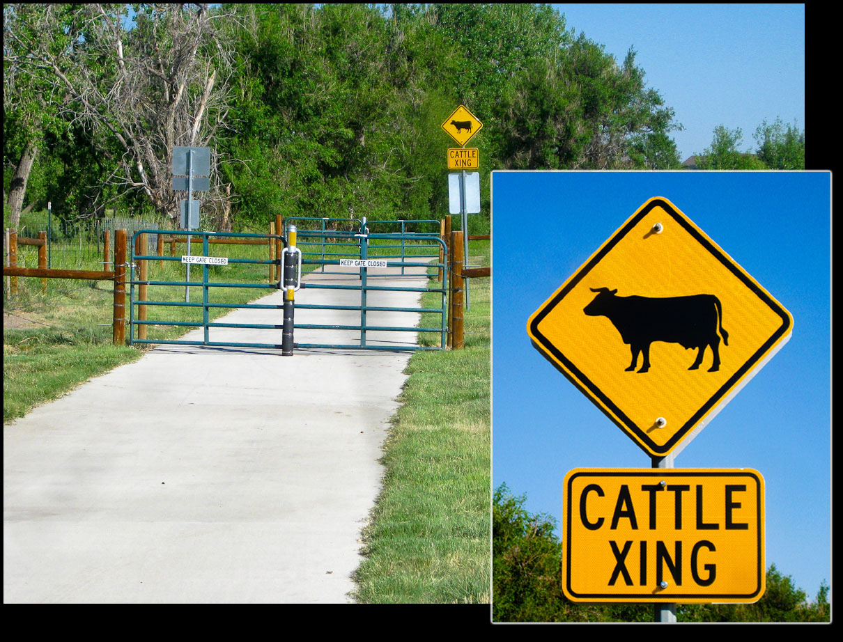
Cattle Crossing Trail
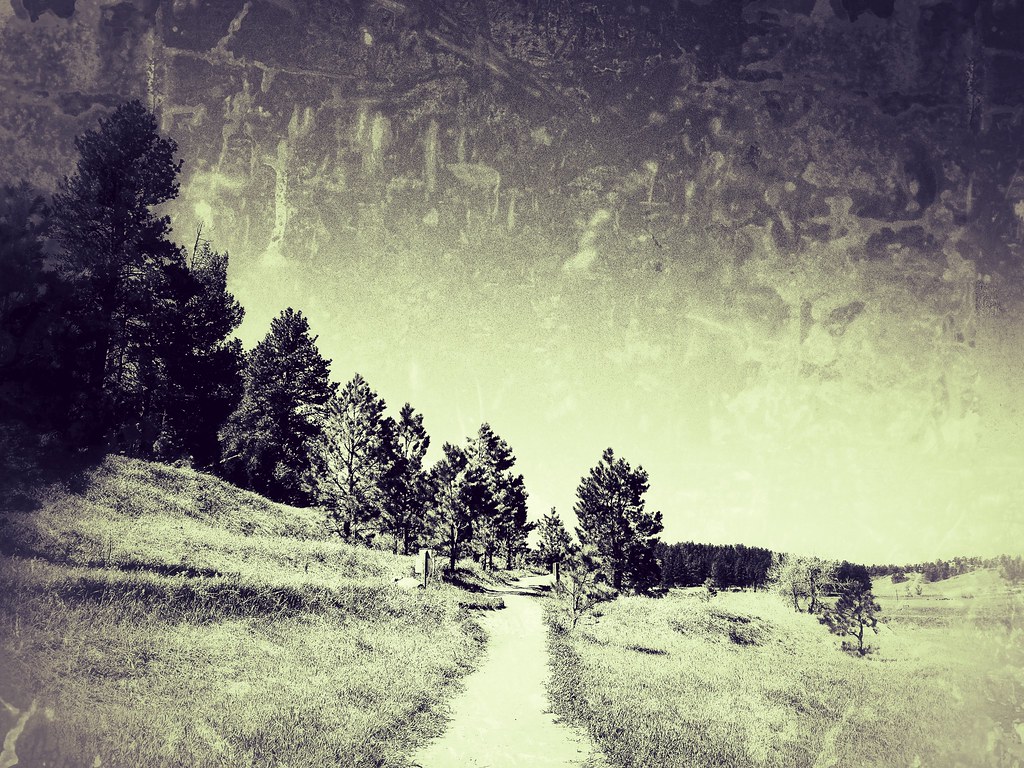
Canyon View Trail

Town of Castle Rock from "The Rock"

Basement View
View From Here: Lone Tree, #Colorado

Castlewood Canyon State Park Colorado
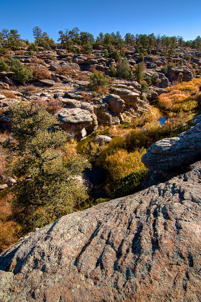
Castlewood Canyon State Park Colorado
Morning light
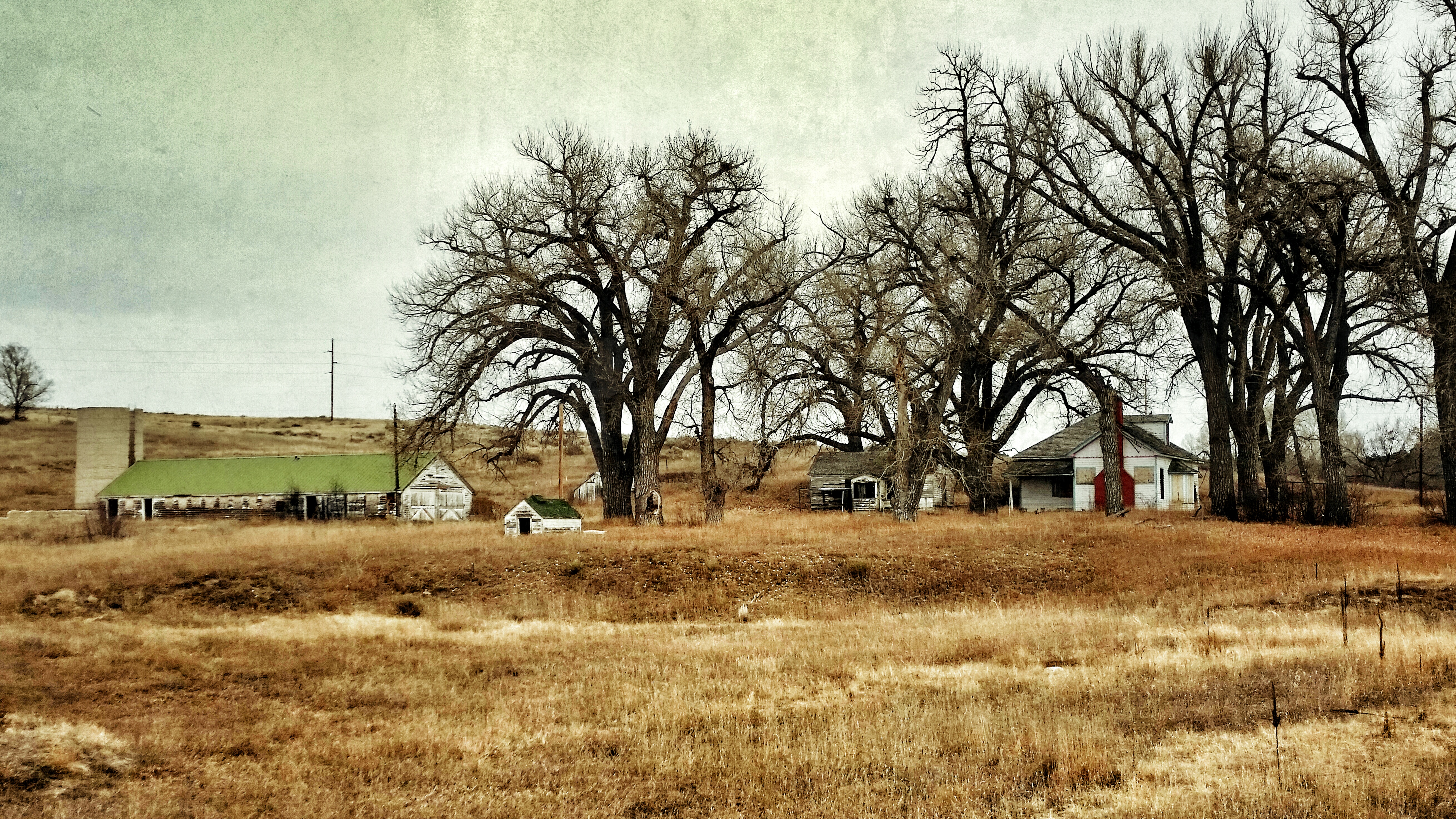
Stroh Rd. Parker, Colorado
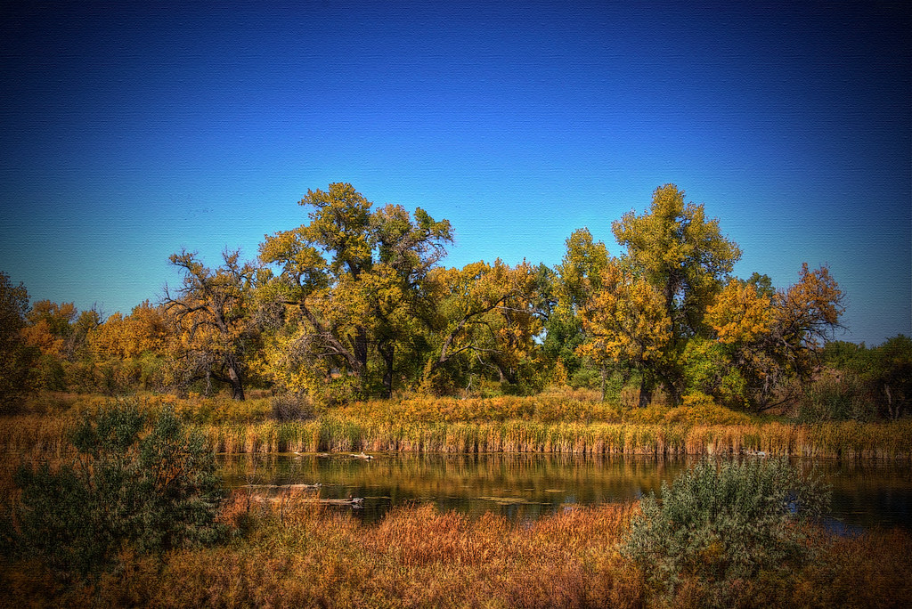
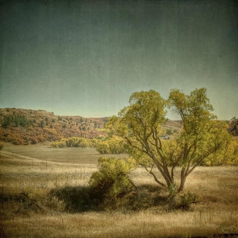
Fall Colors

Approach shot from the fairway in a late day round #golf #colorado #clouds
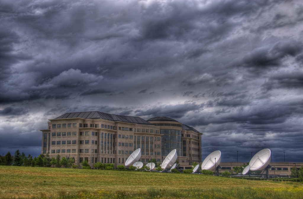
Mile High Denver = One-Bounce Satellite Uplinks
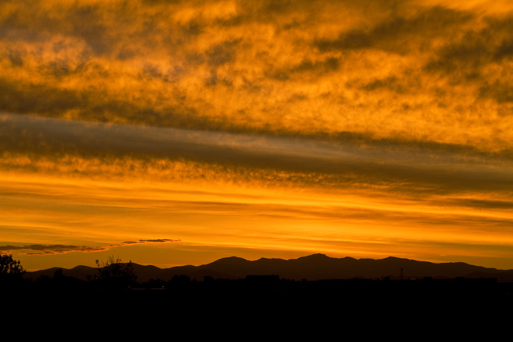
Savoring The Sunset
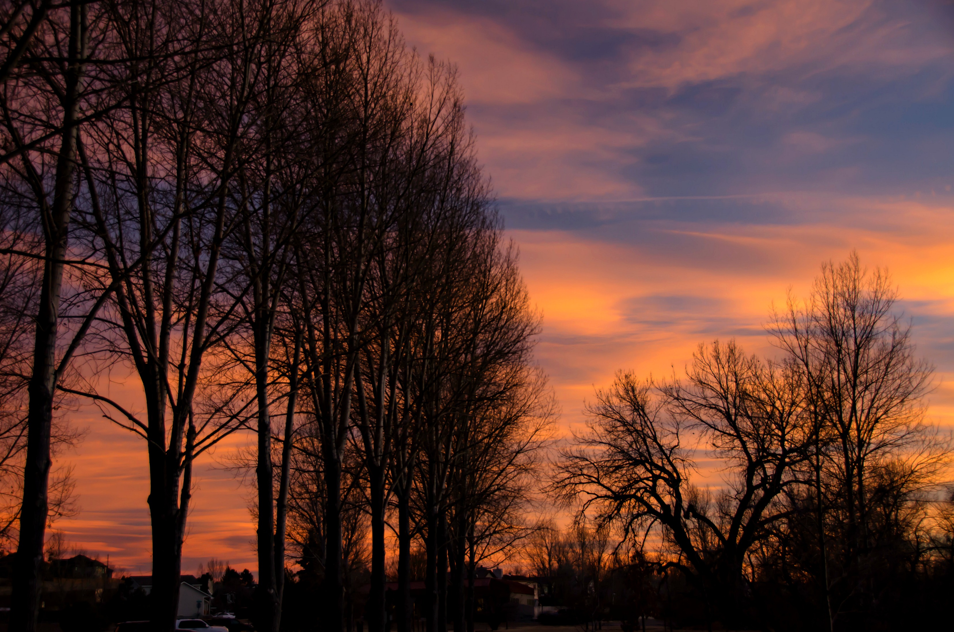
Colorado sunset
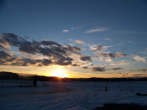
sunset begins
falls from the west

meadow road

BNSF 6078 at Castle Rock, Colorado
field of flowers
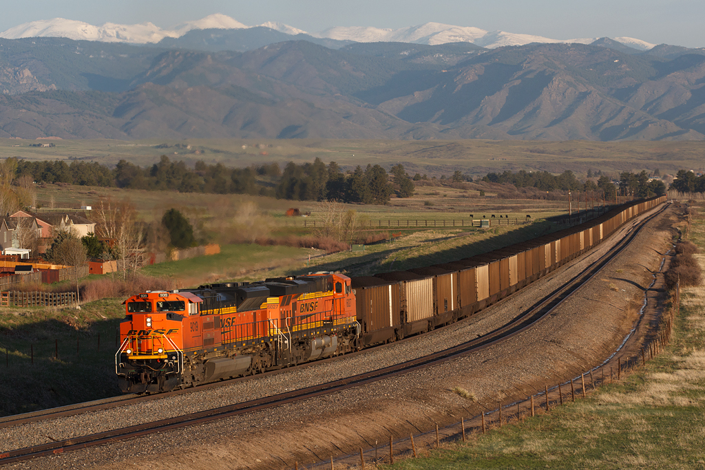
BNSF 9109 Castle Rock 5 May 18
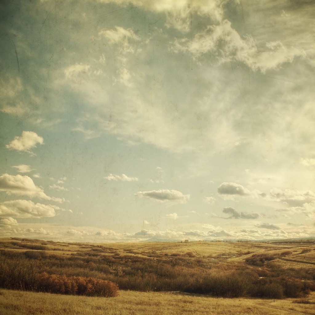
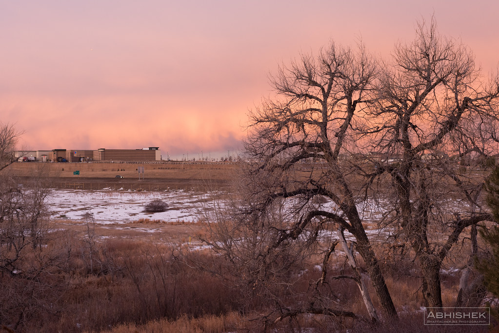
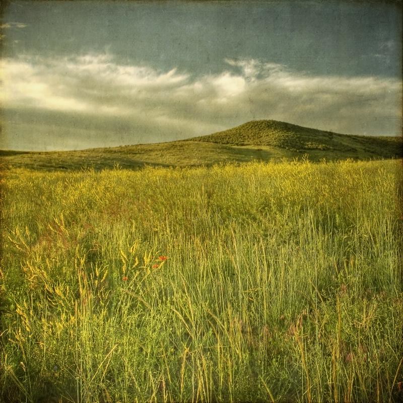
Prairie in Douglas County, Colorado
Topographic Map of Pawnee Rd, Parker, CO, USA
Find elevation by address:

Places near Pawnee Rd, Parker, CO, USA:
8736 Cherokee Ct
6180 Stormy Mountain Ct
8911 Thunderbird Rd
North Pinery
5889 Hidden Oaks Ct
The Pinery
9281 Lone Timber Ct
Alpine Dr, Parker, CO, USA
7543 E Windlawn
5774 Saddle Creek Trail
7868 Forest Keep Cir
7894 Forest Keep Cir
5245 Bur Oak Ln
Wild Crocus Cir, Parker, CO, USA
10687 Evans Ridge Rd
9491 E Pikes Peak Way
12152 Rockdale St
10402 Chinook Trail
10402 Chinook Trail
23152 Bay Oaks Ave
Recent Searches:
- Elevation of Kolchuginsky District, Vladimir Oblast, Russia
- Elevation of Shustino, Vladimir Oblast, Russia
- Elevation of Lampiasi St, Sarasota, FL, USA
- Elevation of Elwyn Dr, Roanoke Rapids, NC, USA
- Elevation of Congressional Dr, Stevensville, MD, USA
- Elevation of Bellview Rd, McLean, VA, USA
- Elevation of Stage Island Rd, Chatham, MA, USA
- Elevation of Shibuya Scramble Crossing, 21 Udagawacho, Shibuya City, Tokyo -, Japan
- Elevation of Jadagoniai, Kaunas District Municipality, Lithuania
- Elevation of Pagonija rock, Kranto 7-oji g. 8"N, Kaunas, Lithuania