Elevation of Burning Coal Vein Campground, E River Rd, Medora, ND, USA
Location: United States > North Dakota > Slope County > Northwest Slope >
Longitude: -103.44398
Latitude: 46.597812
Elevation: 771m / 2530feet
Barometric Pressure: 92KPa
Elevation Map:
Satellite Map:
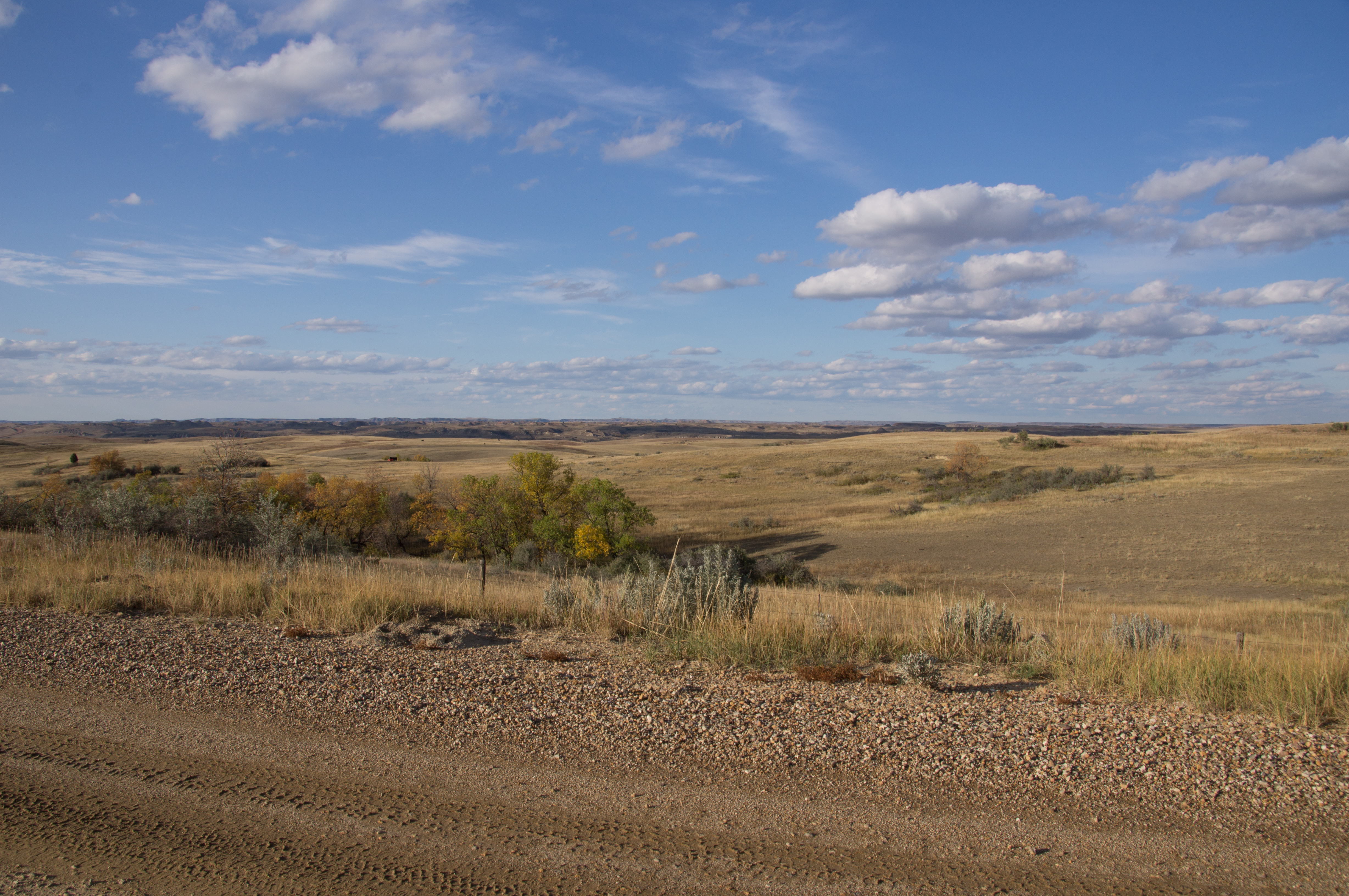
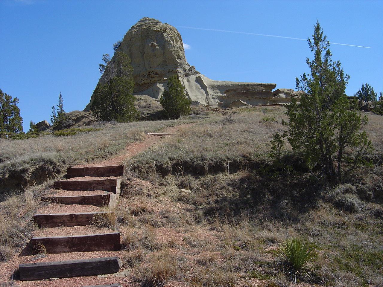
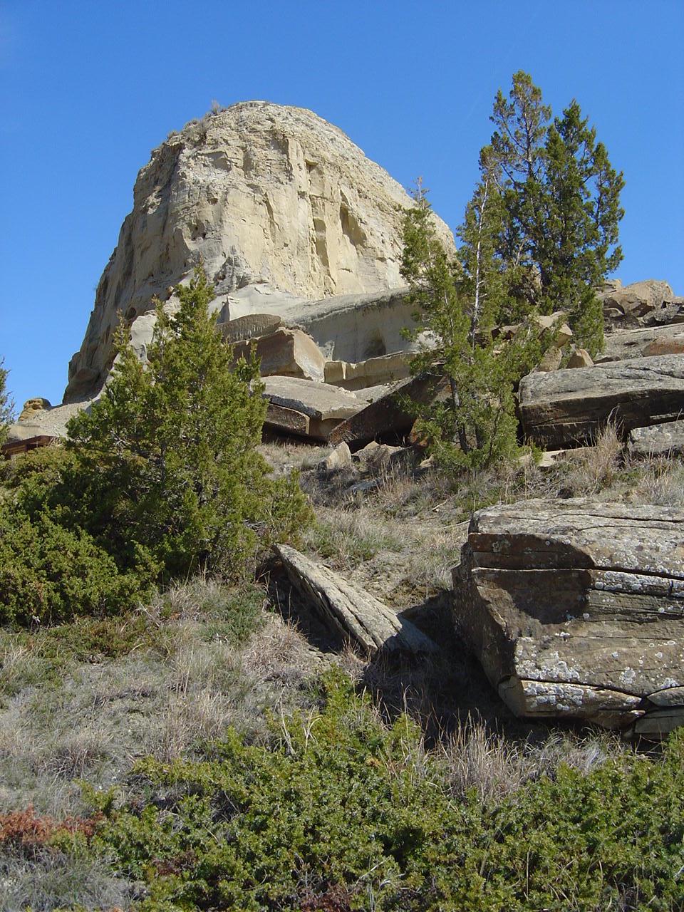
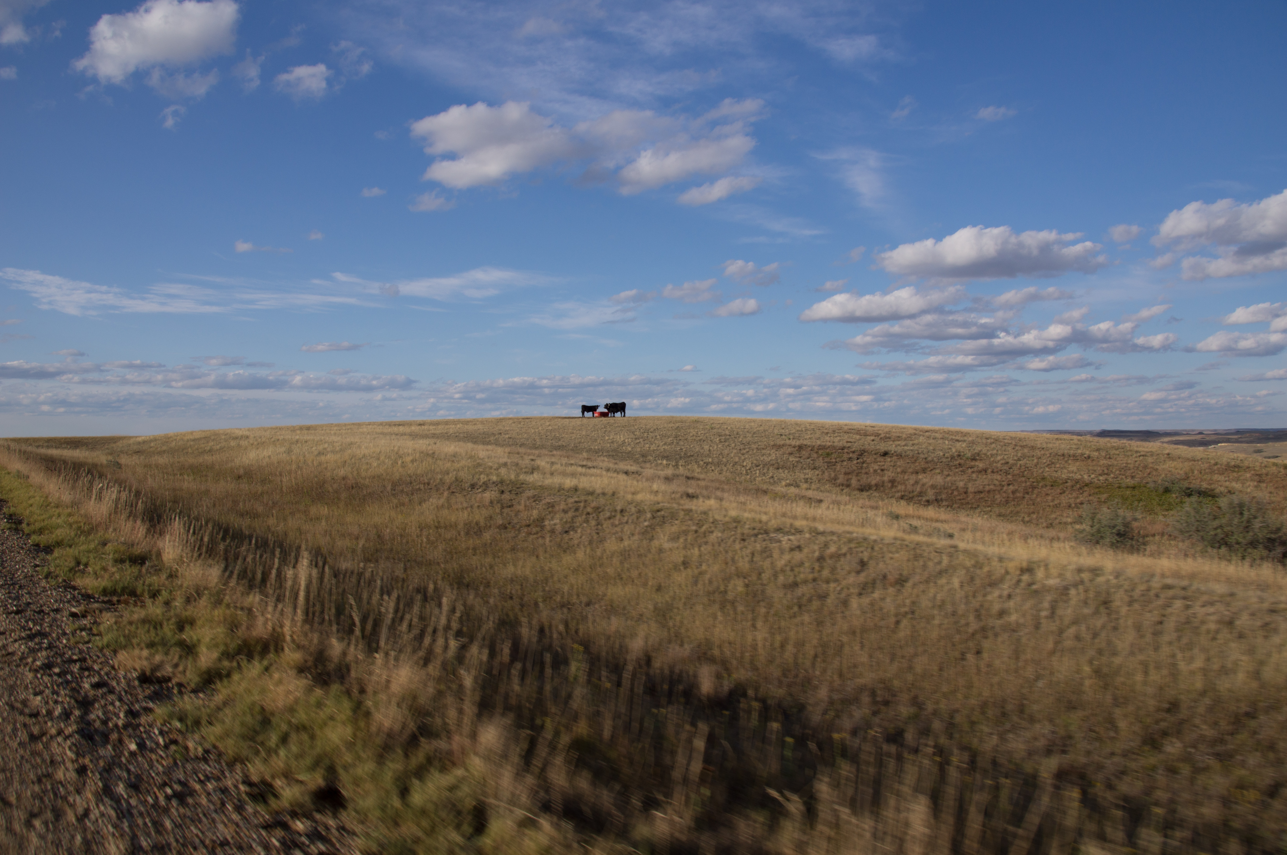
Related Photos:
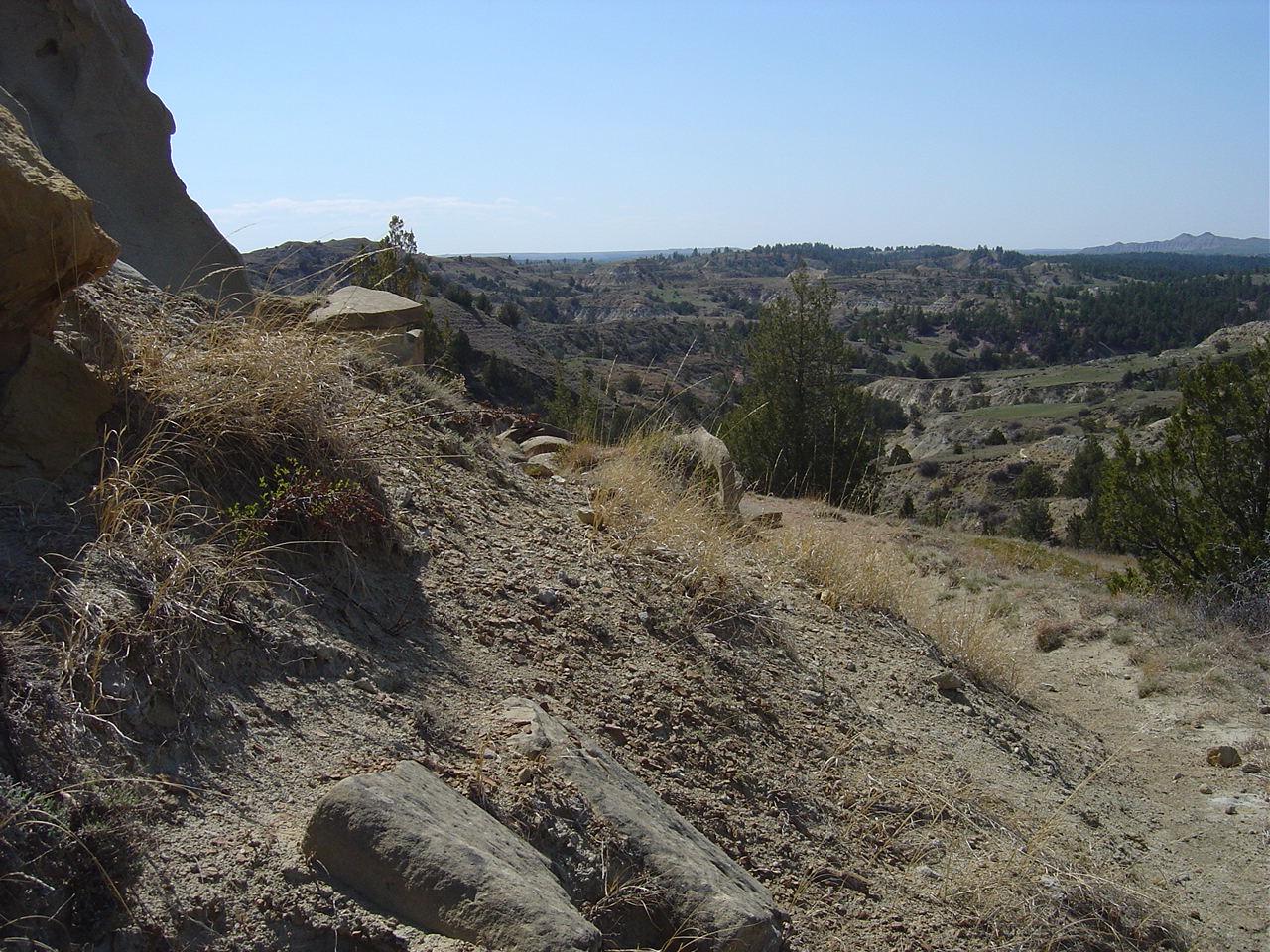
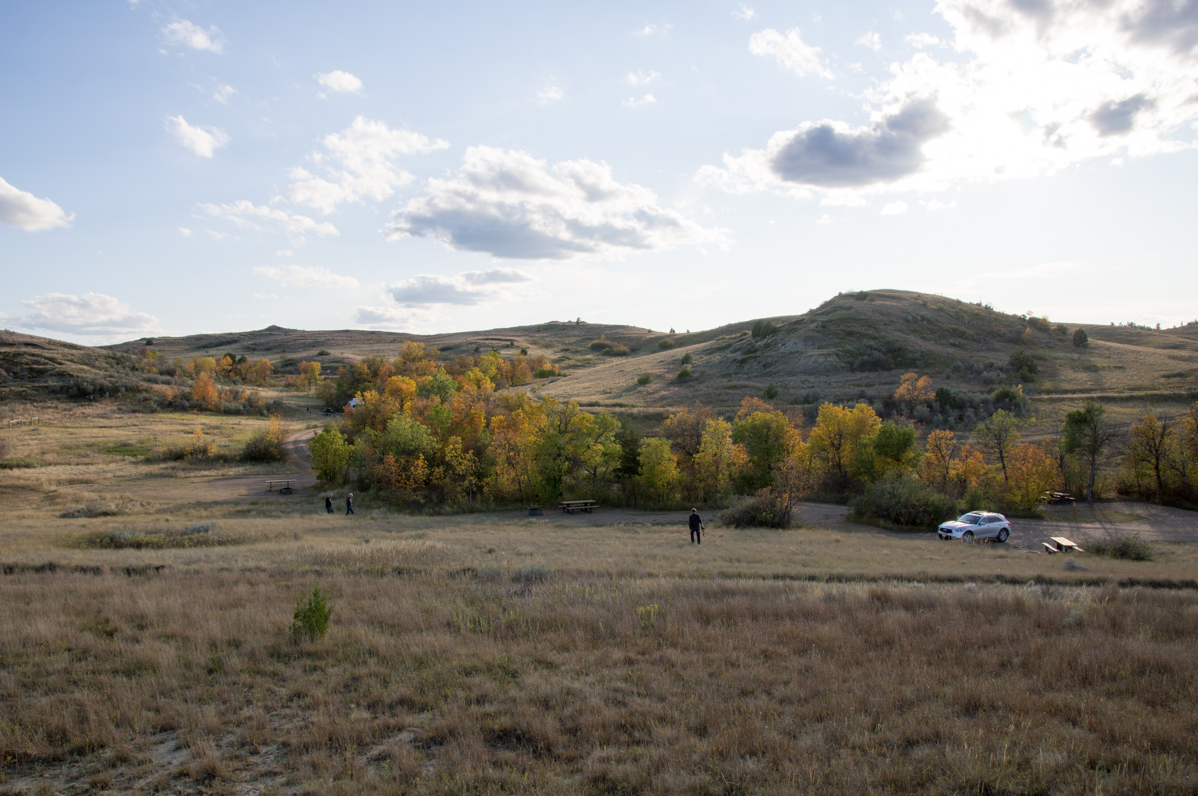
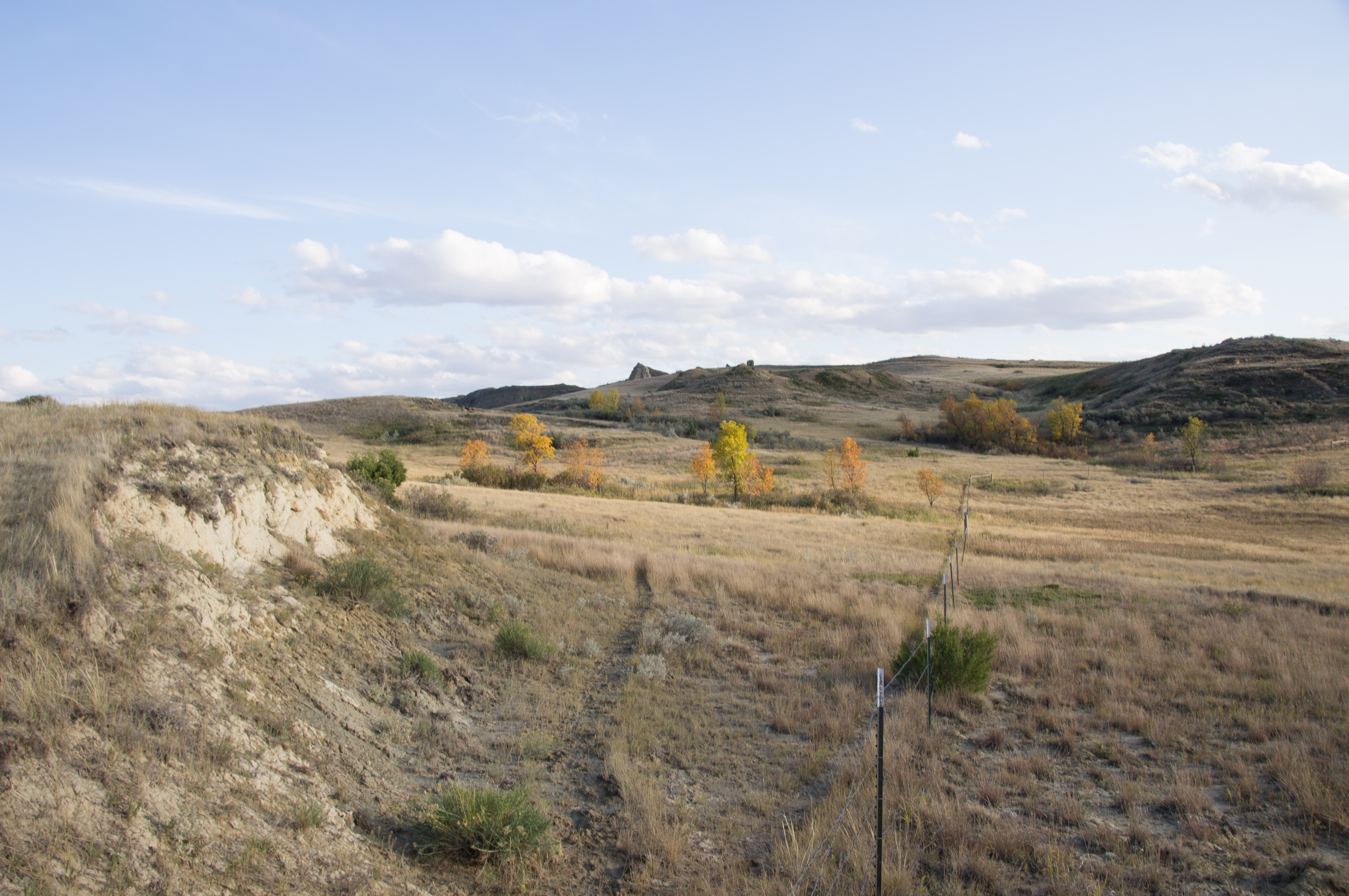
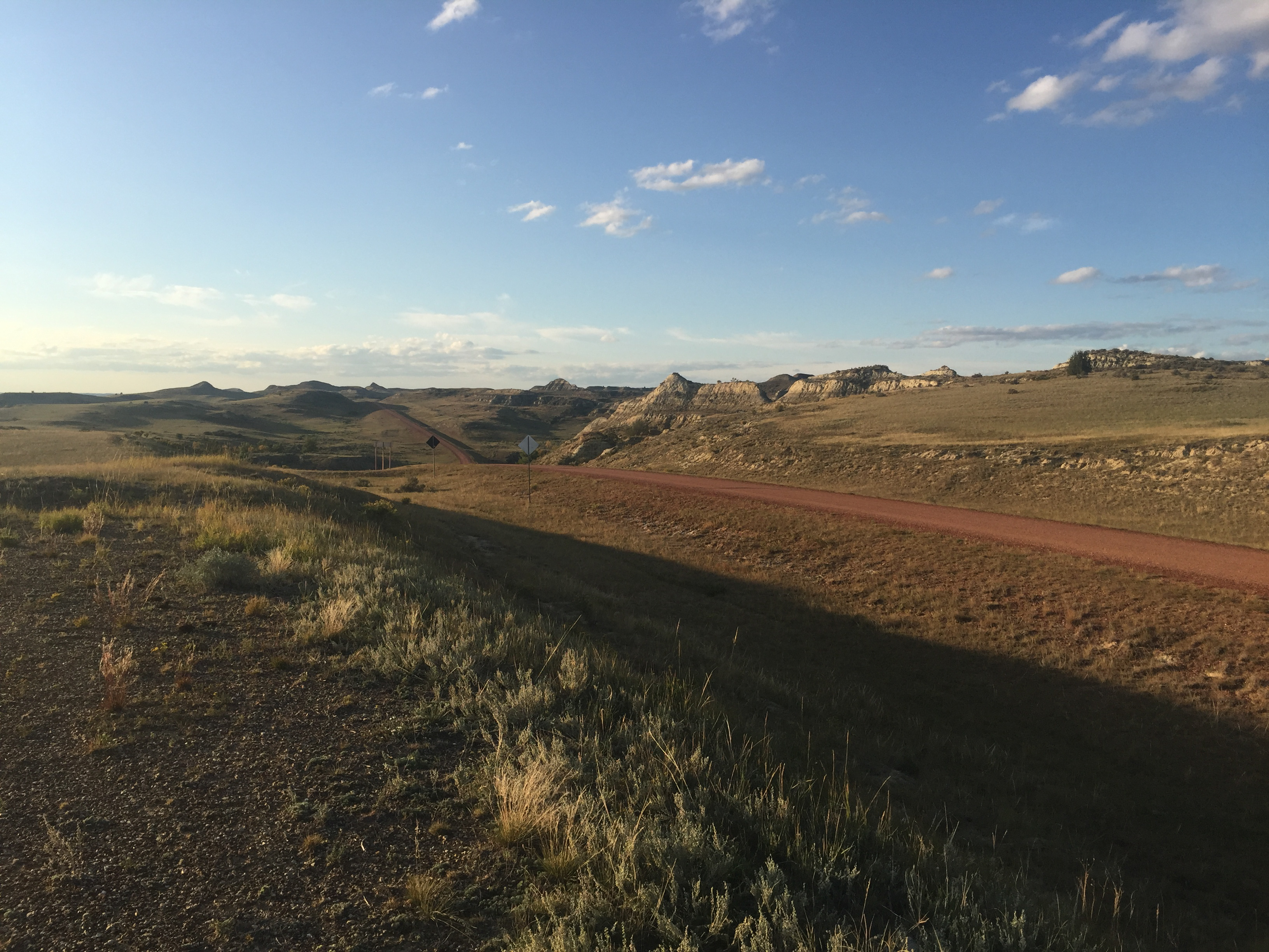
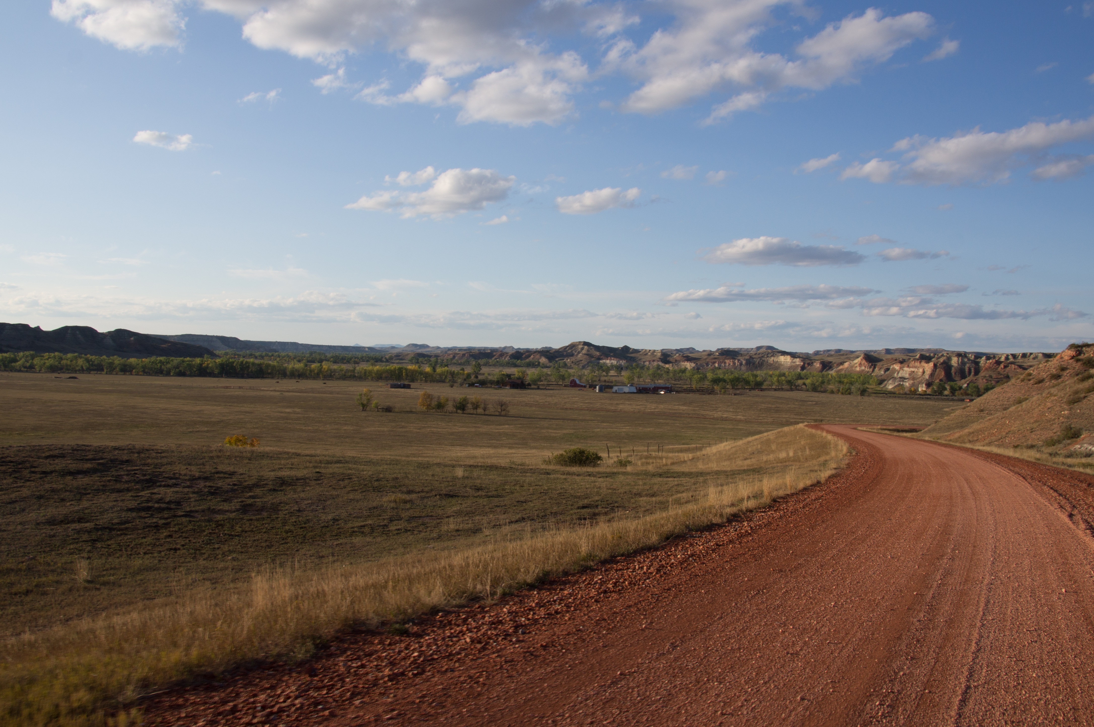
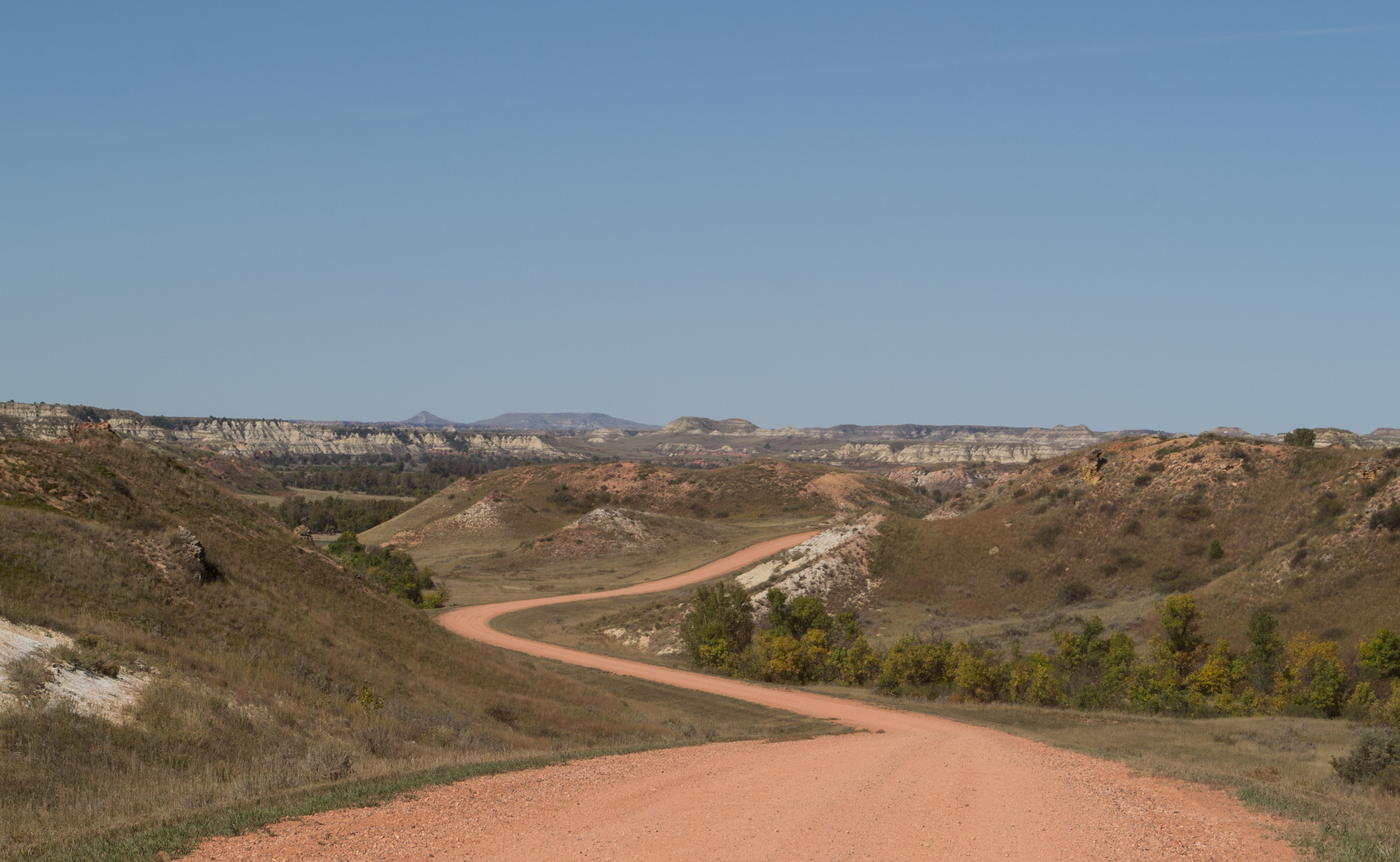
Burning Coal Vein ND 2005 (8)
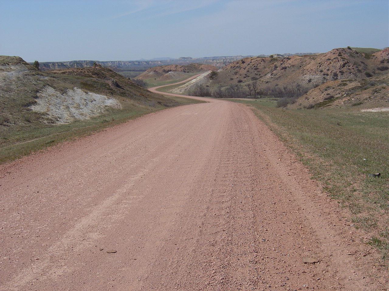
Burning Coal Vein ND 2005 (14)
Burning Coal Vein ND 2005 (1)
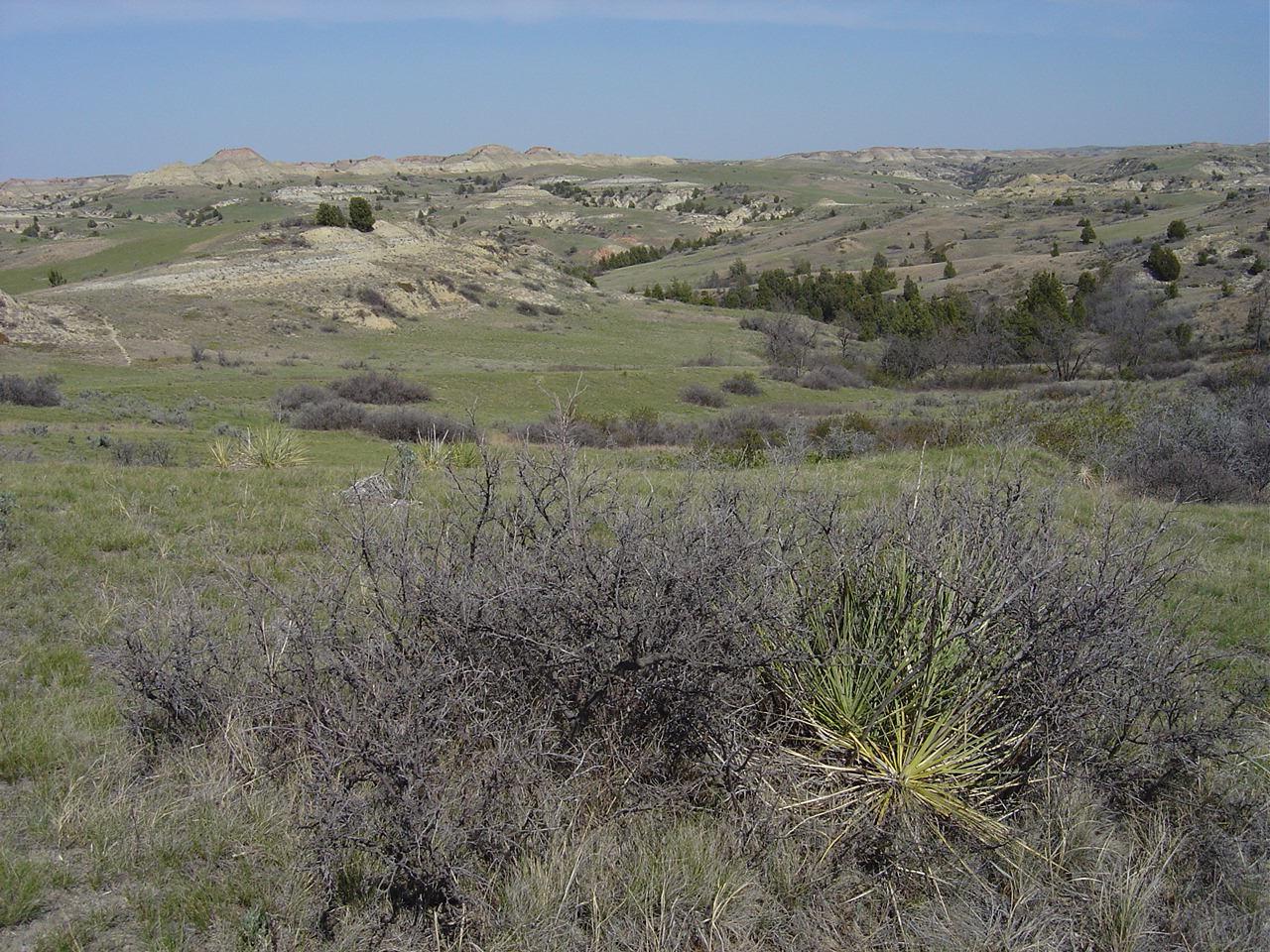
Burning Coal Vein ND 2005 (12)
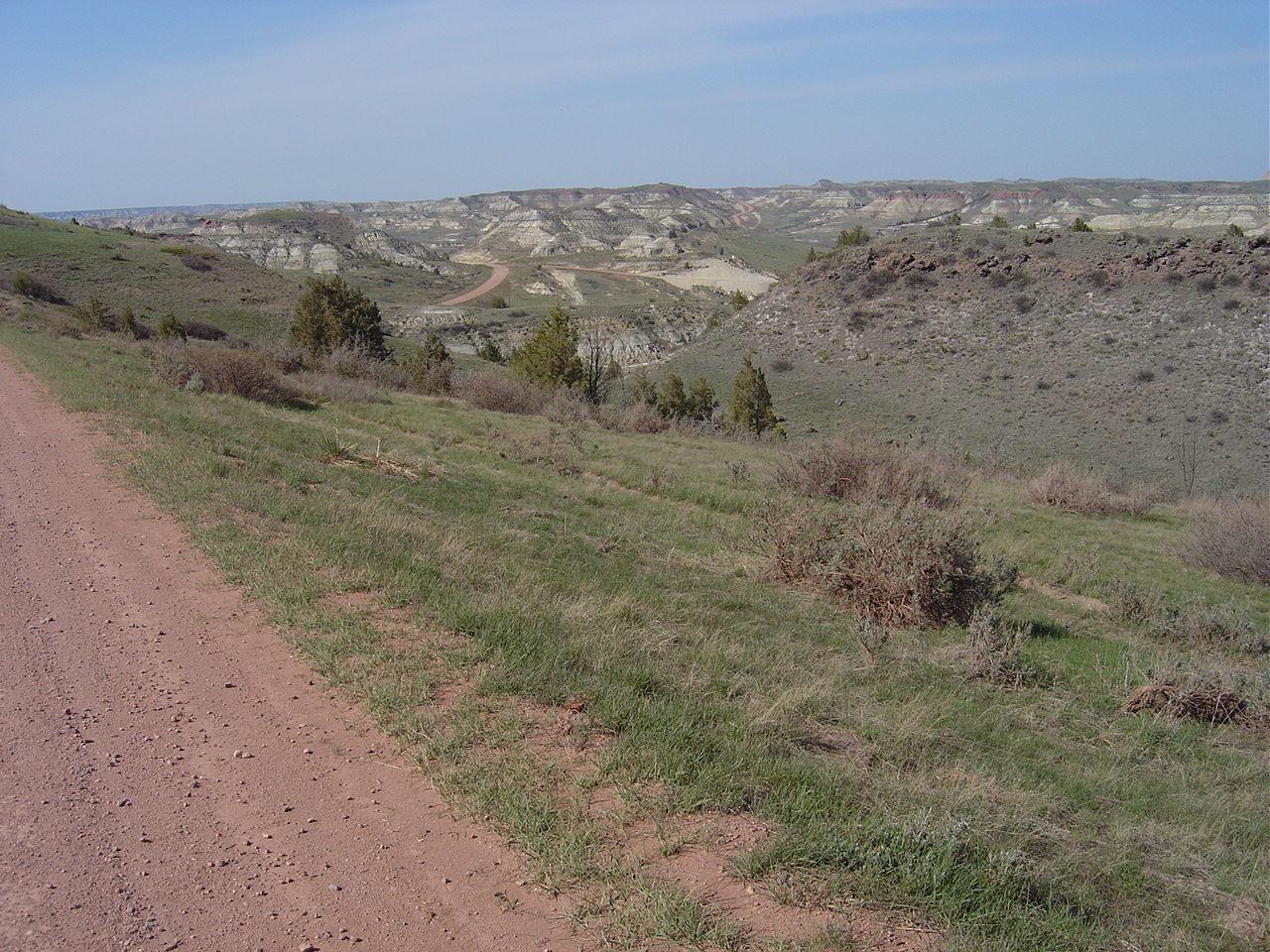
Burning Coal Vein ND 2005 (16)
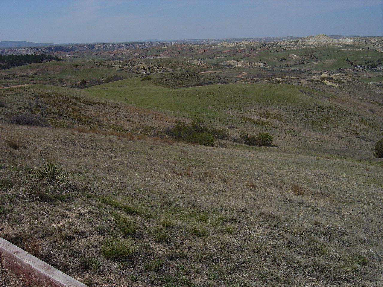
Burning Coal Vein ND 2005 (3)
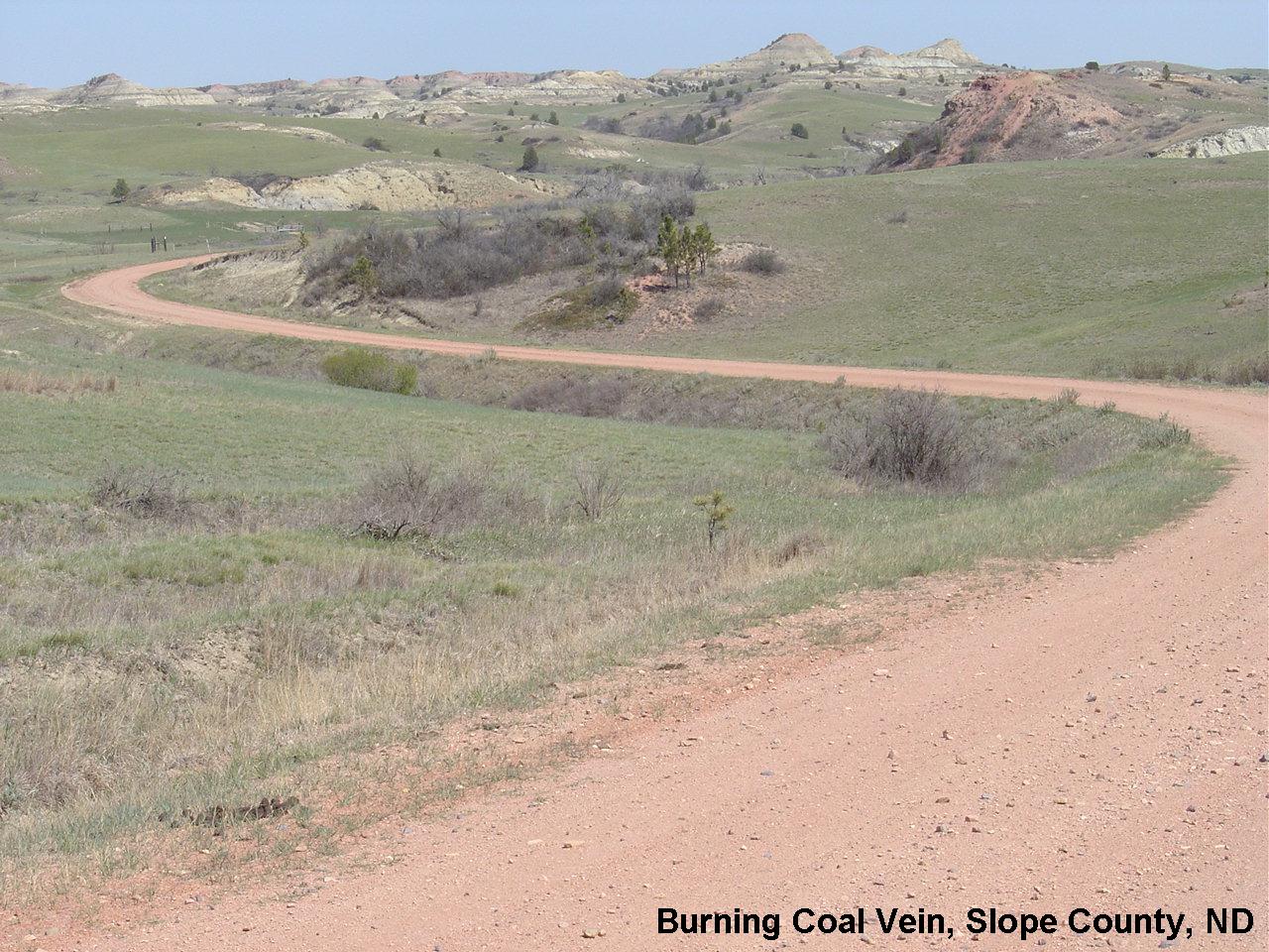
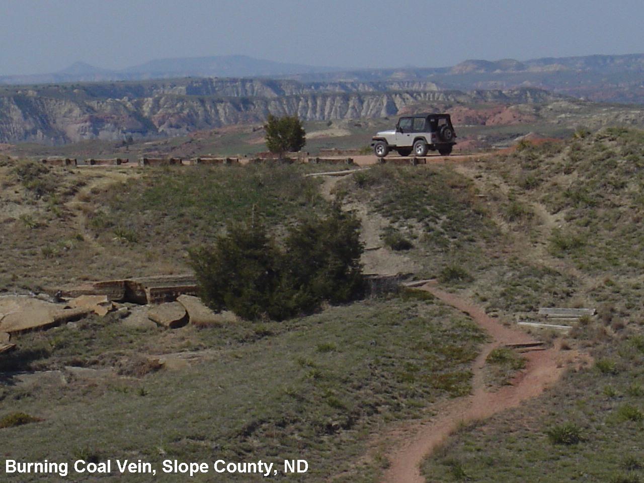
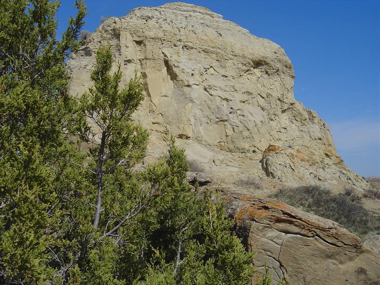
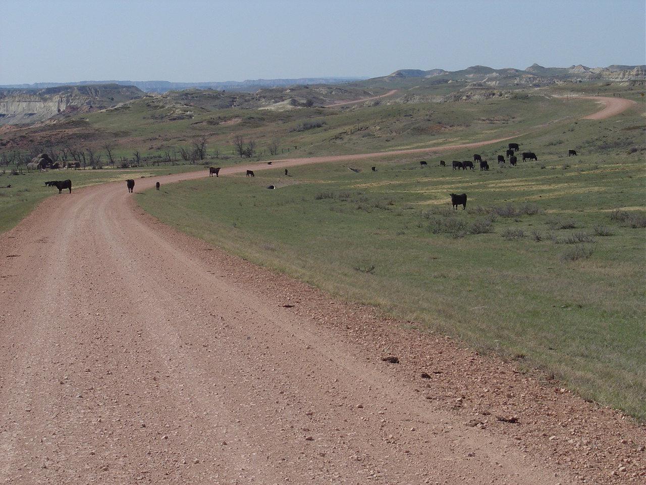
Burning Coal Vein ND 2005
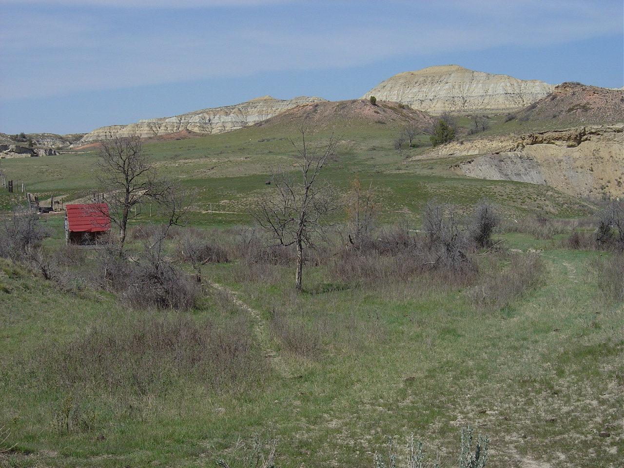
Burning Coal Vein ND 2005 (2)

(50/100) Beka with a view of White Butte
DSC04031.jpg
DSC04032.jpg
IMG_5396.jpg
DSC04035.jpg

IMG_5394.jpg
DSC04013.jpg
Burning Coal Vein ND 2005 (5)
Burning Coal Vein ND 2005 (10)
DSC04018.jpg
Burning Coal Vein ND 2005 (7)
Burning Coal Vein ND 2005 (9)
DSC04039.jpg
Burning Coal Vein ND 2005 (15)
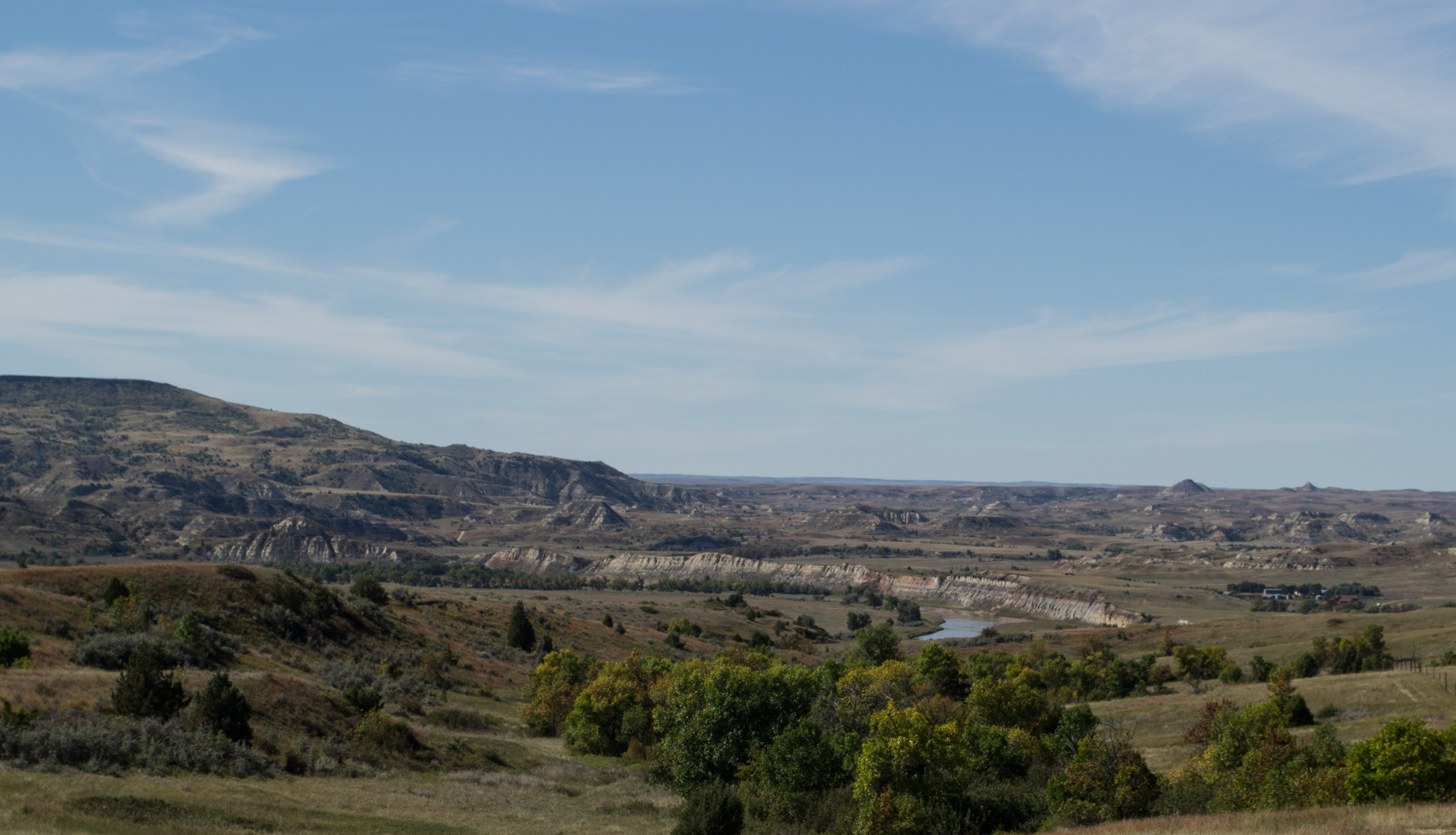
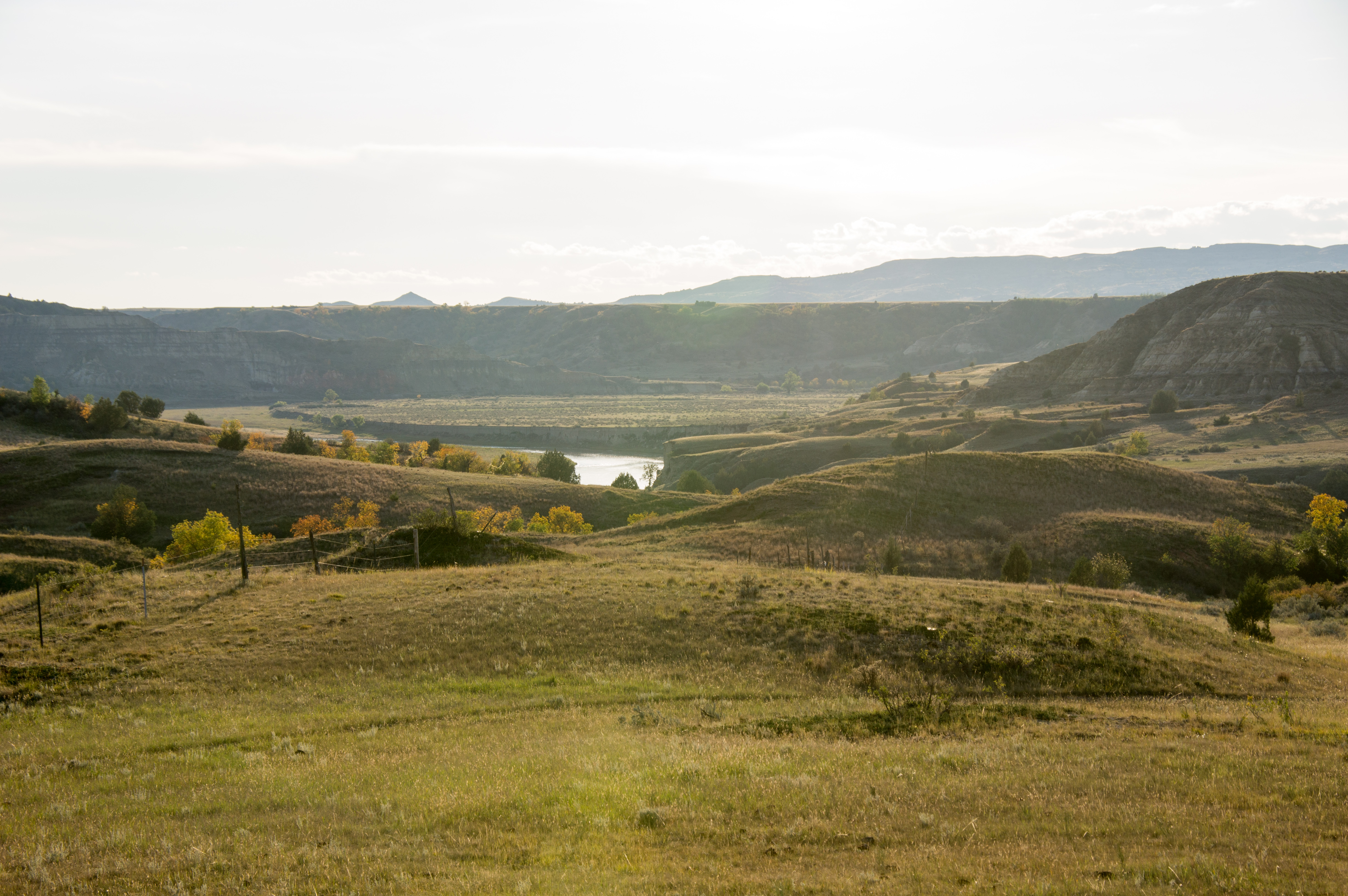
Little Missouri Natl Grasslands river, ND (0435)
Little Missouri Natl Grasslands, ND (0429)
Burning Coal Vein ND 2005 (11)
Topographic Map of Burning Coal Vein Campground, E River Rd, Medora, ND, USA
Find elevation by address:

Places near Burning Coal Vein Campground, E River Rd, Medora, ND, USA:
Northwest Slope
Amidon
Slope County
Broadway, Medora, ND, USA
Medora
Belfield
West Stark
Theodore Roosevelt National Park
3565 130th Ave Sw
3565 130th Ave Sw
North Billings
Billings County
4851 E River Rd
Golden Valley County
New England
11471 Hwy 10 W
22 S Central Ave, Beach, ND, USA
Beach
11209 47th St Sw
1334 Empire Rd
Recent Searches:
- Elevation of Leguwa, Nepal
- Elevation of County Rd, Enterprise, AL, USA
- Elevation of Kolchuginsky District, Vladimir Oblast, Russia
- Elevation of Shustino, Vladimir Oblast, Russia
- Elevation of Lampiasi St, Sarasota, FL, USA
- Elevation of Elwyn Dr, Roanoke Rapids, NC, USA
- Elevation of Congressional Dr, Stevensville, MD, USA
- Elevation of Bellview Rd, McLean, VA, USA
- Elevation of Stage Island Rd, Chatham, MA, USA
- Elevation of Shibuya Scramble Crossing, 21 Udagawacho, Shibuya City, Tokyo -, Japan