Elevation of Brownsville, OR, USA
Location: United States > Oregon > Linn County >
Longitude: -122.98481
Latitude: 44.3934571
Elevation: 110m / 361feet
Barometric Pressure: 100KPa
Elevation Map:
Satellite Map:
Related Photos:

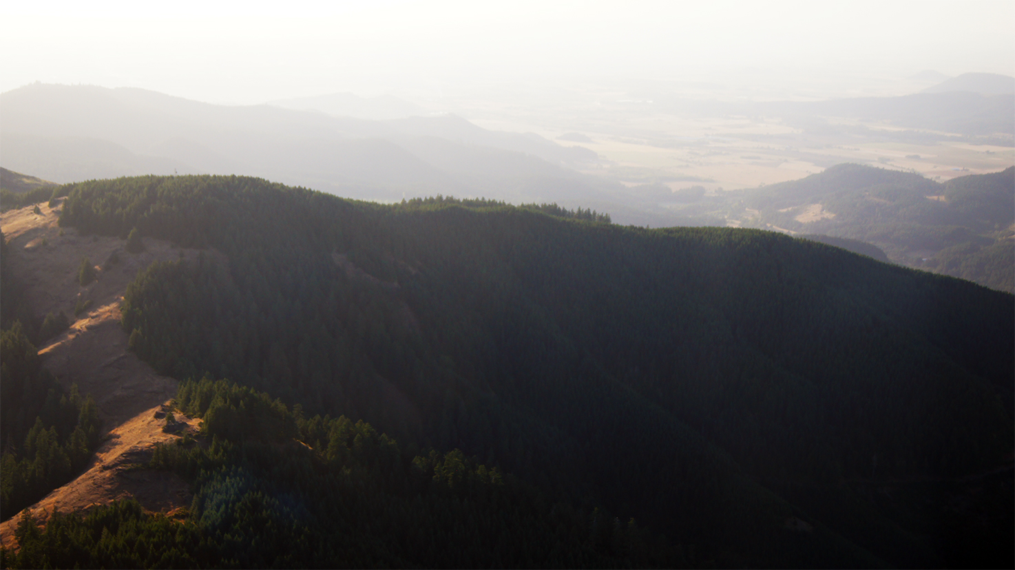
Horse Rock Ridge, Study 2

Horse Rock Ridge, Study 1
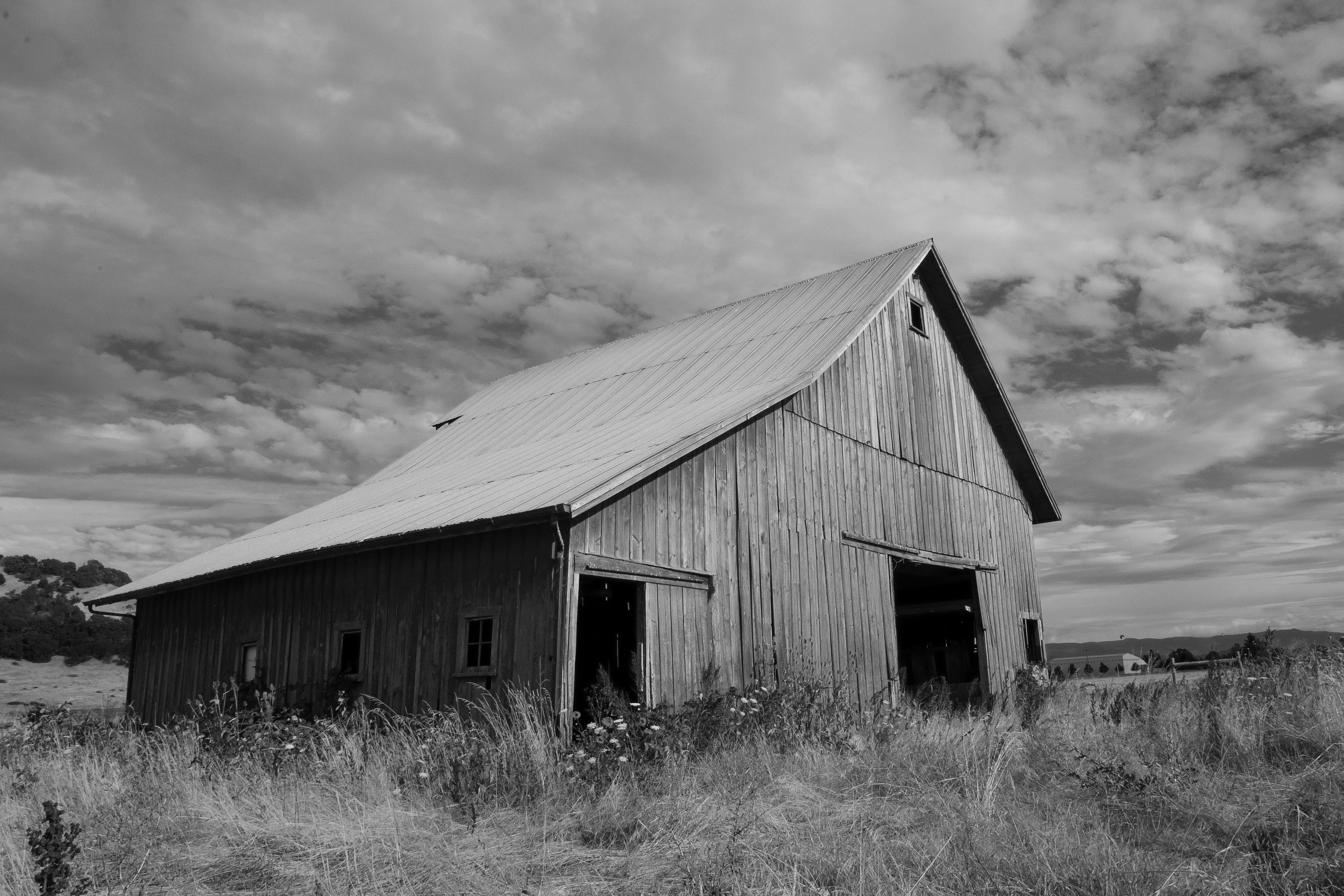
Old Plain View Barn 29
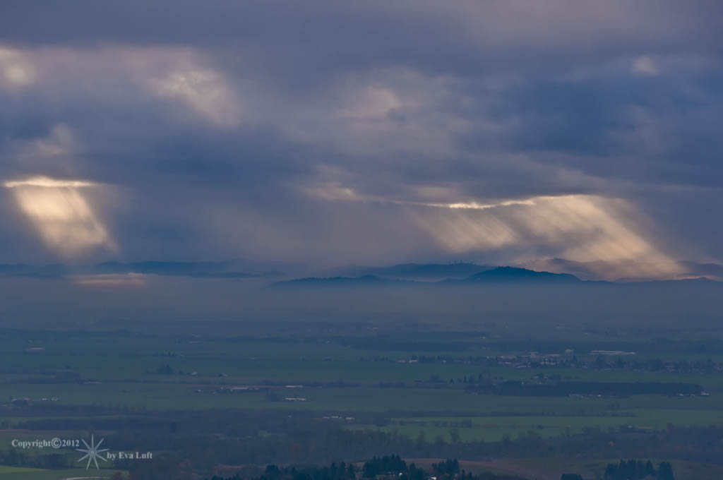
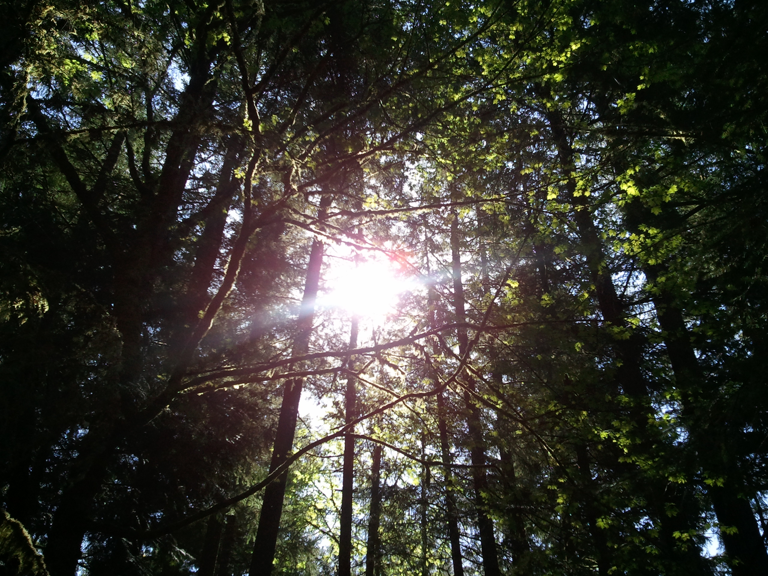
Beams of Sunlight...... Image by Eva.
31/365

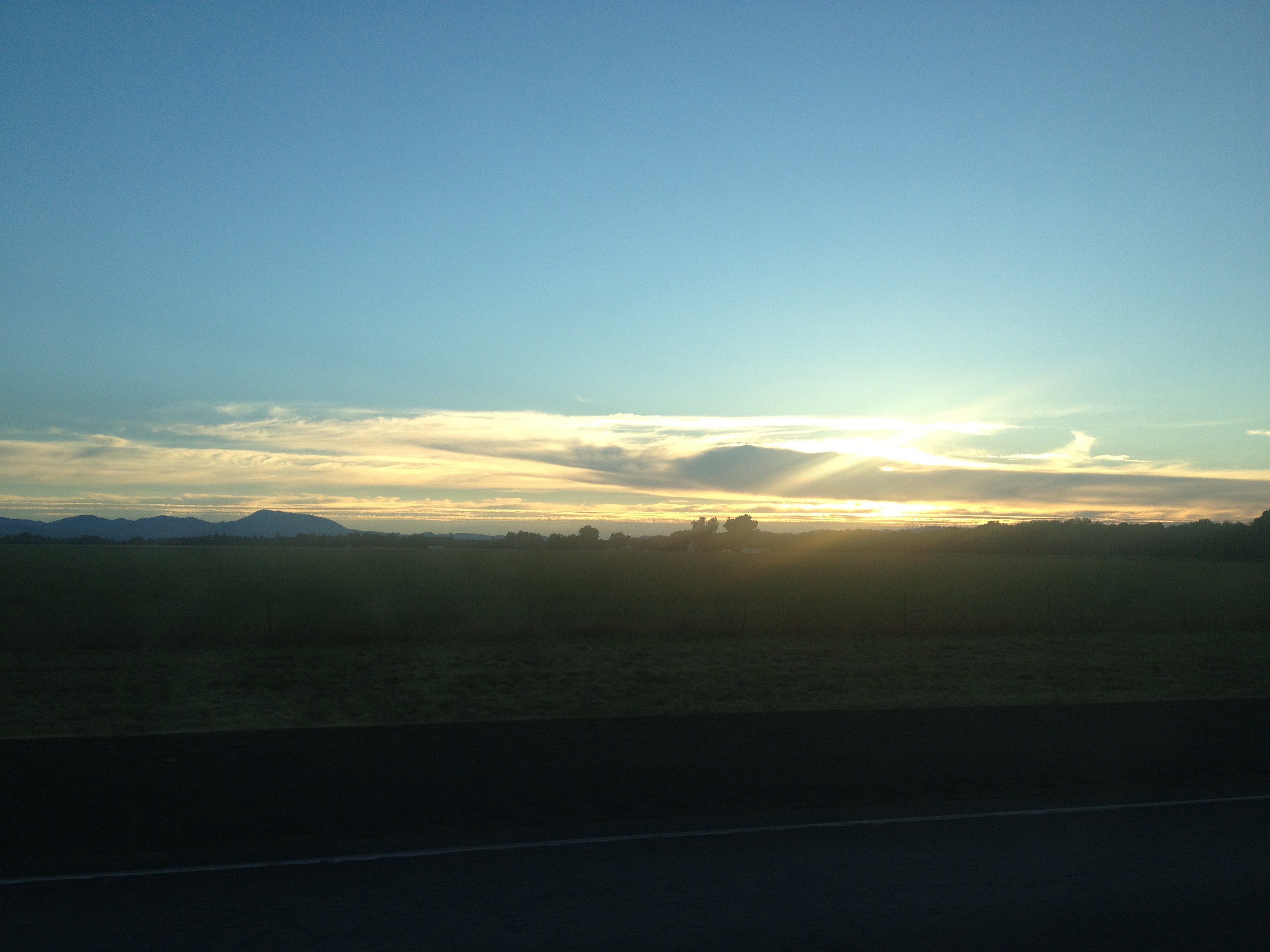
Sunset In The Valley
Parents Yard (103/366)
Jetta Peterson

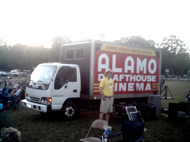
The Alamo Cinema Truck 3

Dog Horse Interaction
Growing up Gustav
The Alamo Cinema Truck 4
Thompson Mills_10-03-20_0007

Thompson Mills_10-03-20_0013

The Alamo Cinema Truck 5
Alamo Cinema Truck 6
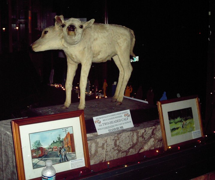
Two Headed Calf 3
061915-001
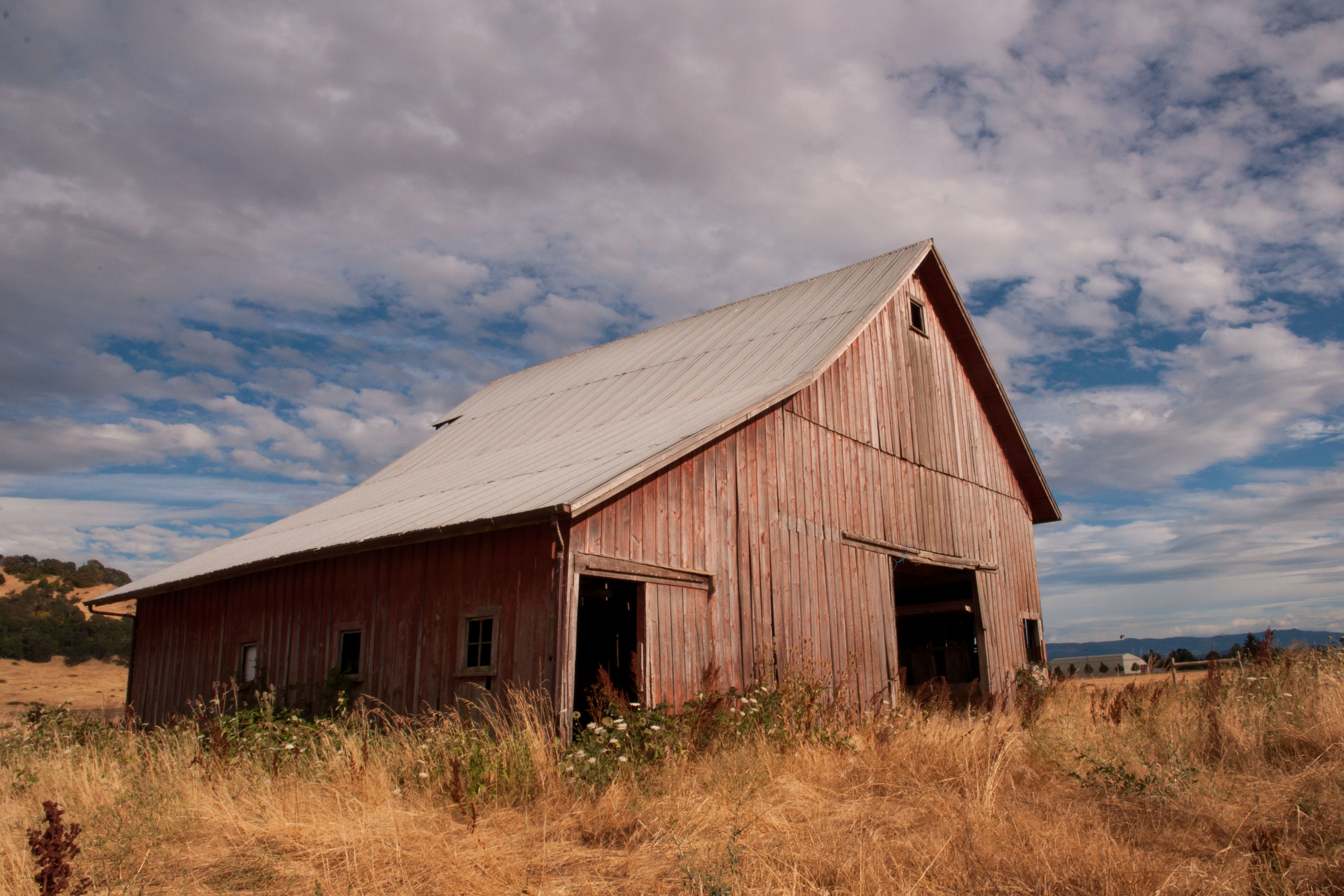
Old Plain View Barn 29-2
Crawfordsville, Oregon

Brewing #updownnorthwest2013 @upstairsdownstairs

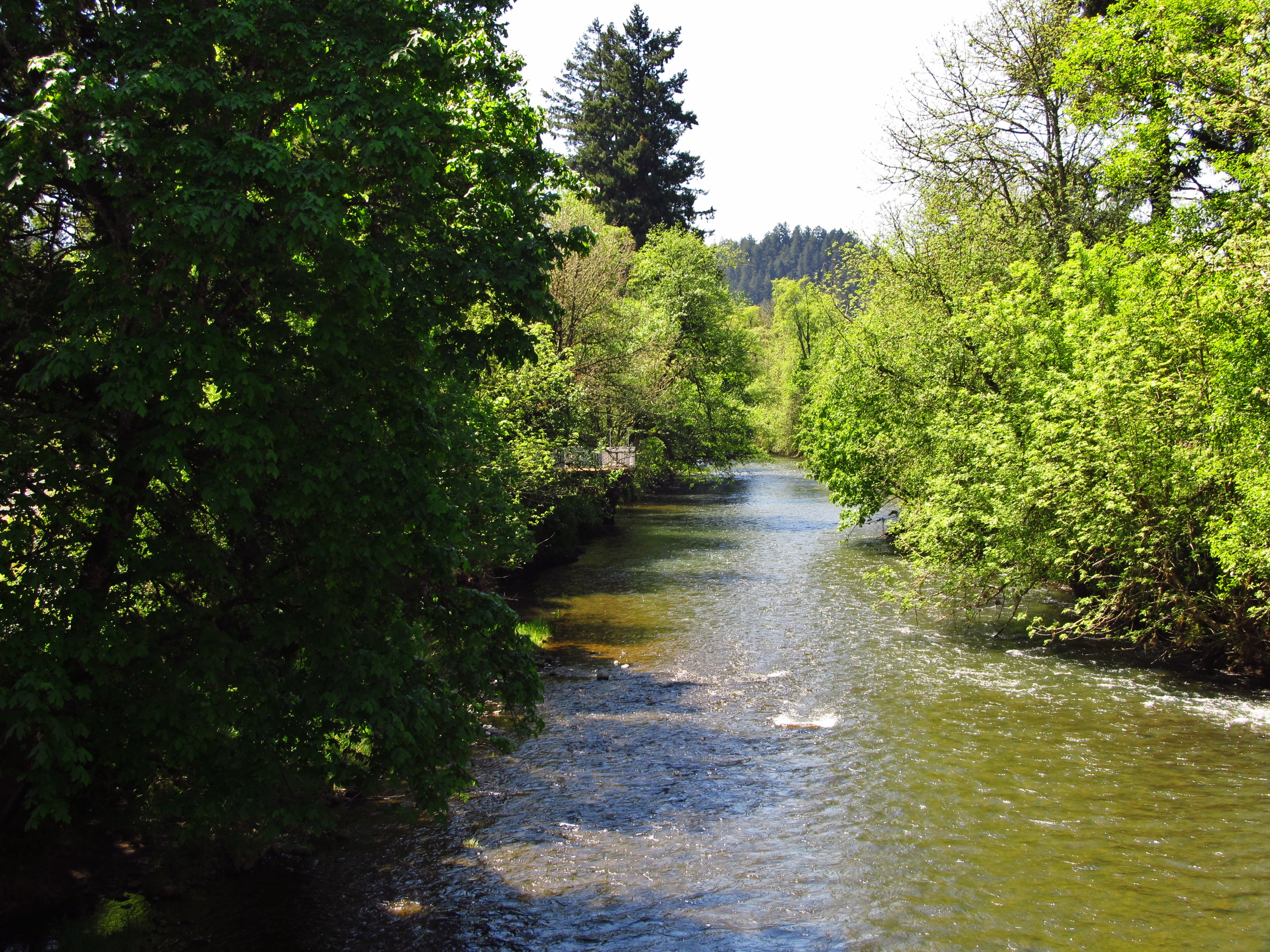
Safe in the woods
Willamette Valley

2012-03-24_11-39-52_289

2012-03-22_17-10-34_44
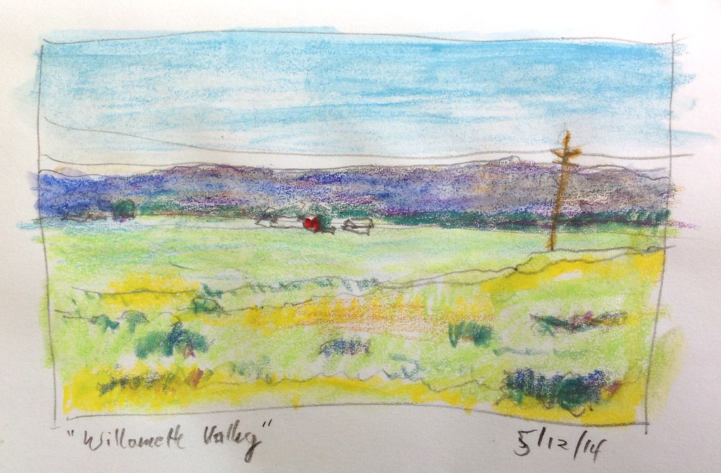
Willamette Valley

2012-03-22_17-10-58_528
2013-05-03 10.43.26
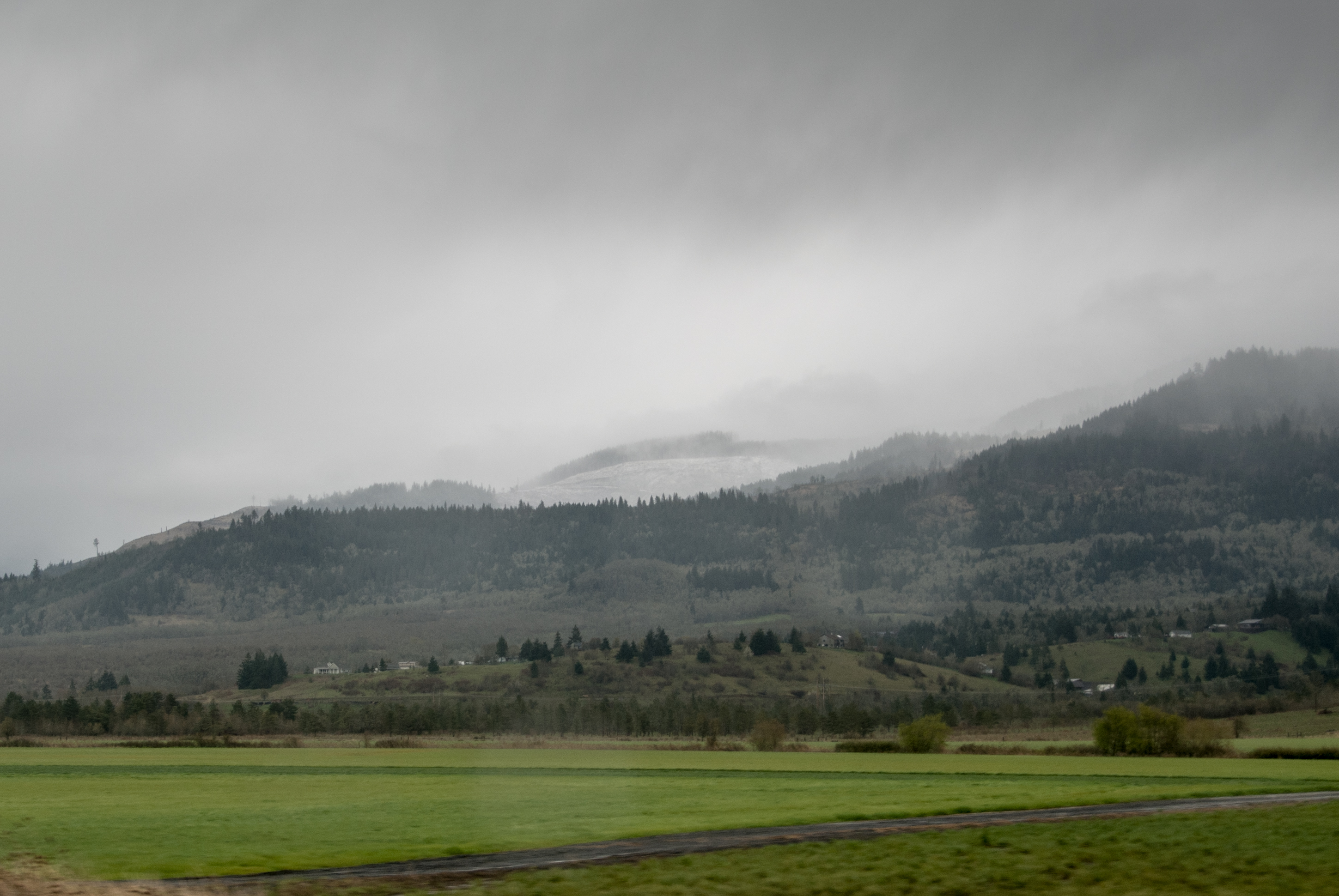
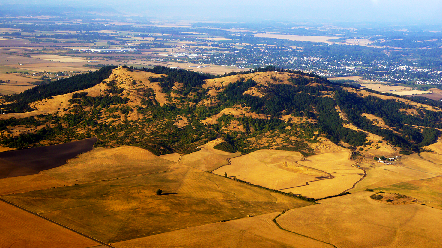
Cascade foothills with snow
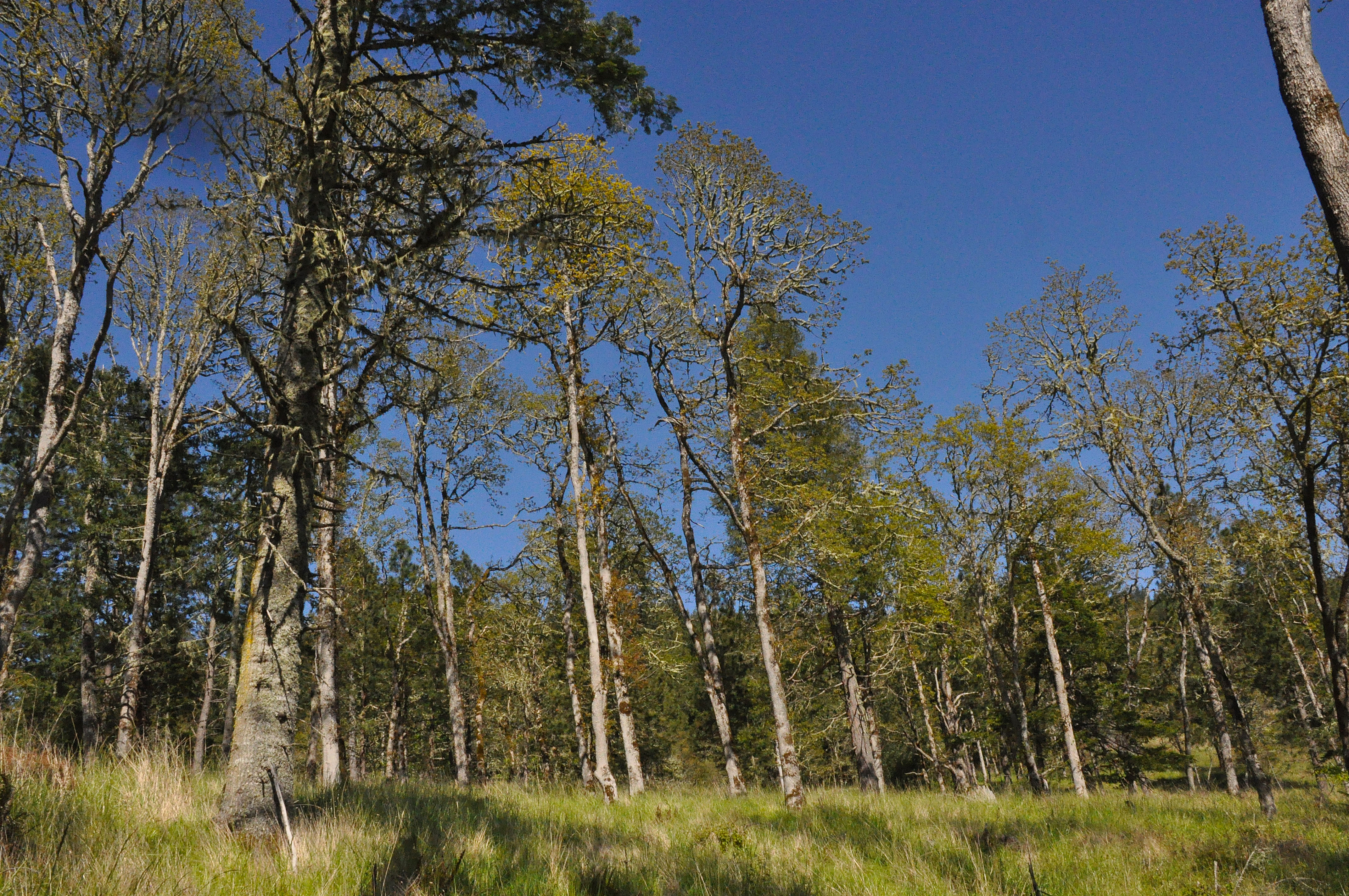
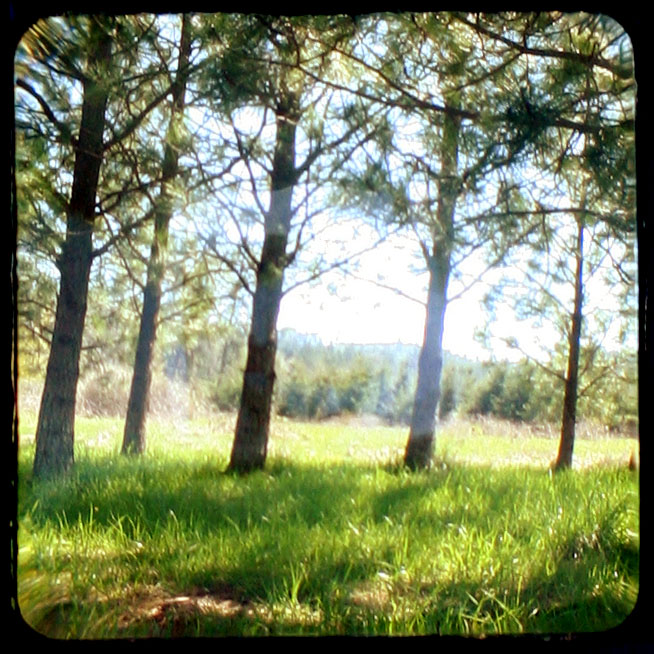
A restored oak woodland area

Parents House 1 of 6
3rd & H - Halsey, OR
Willamette Valley
Driving home
2013-05-03 11.00.27
350. Ba!
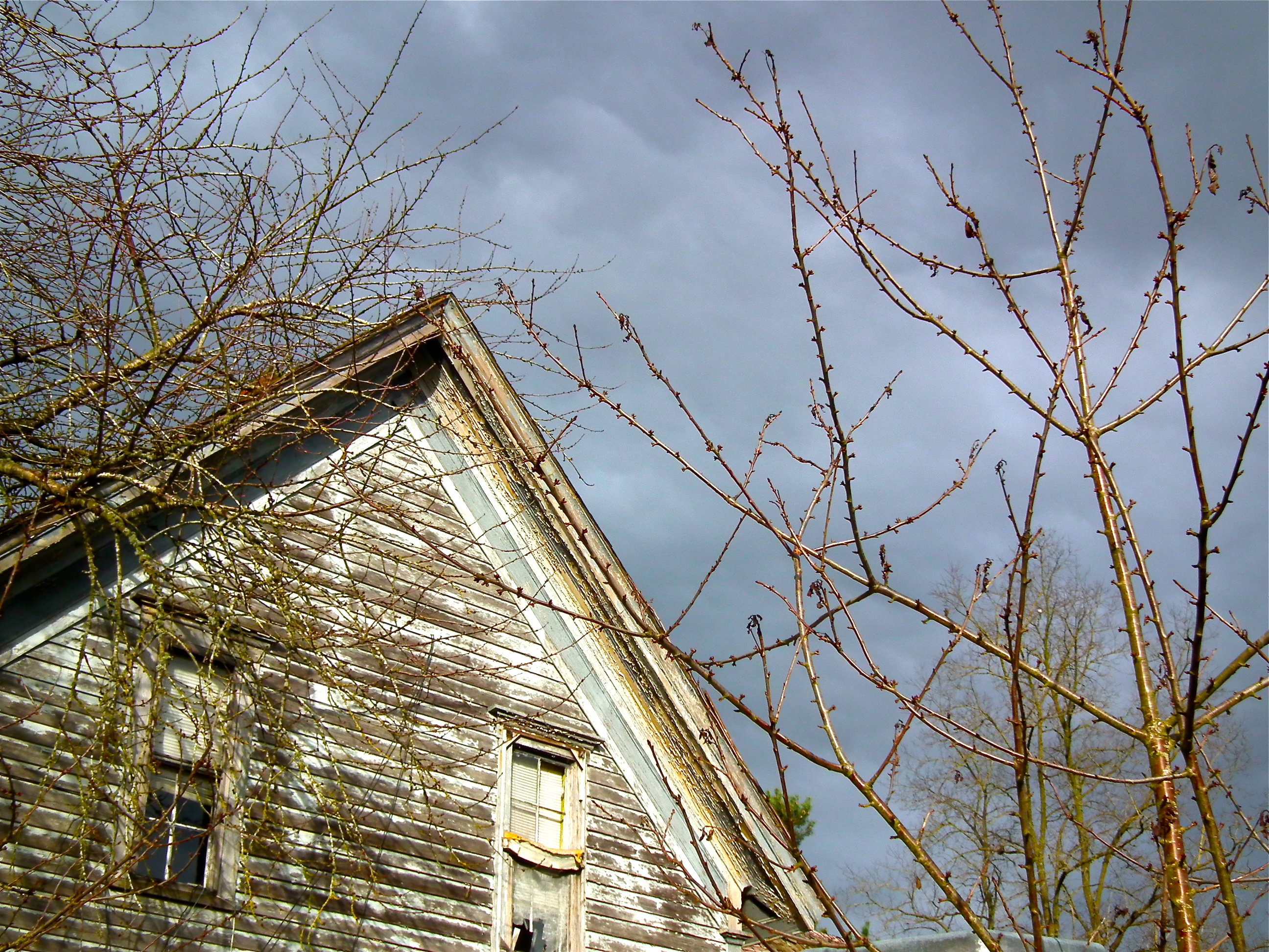
Plainview Barn

Sheeps!! I adore sheeps. #roadtrip

Willamette Valley
Topographic Map of Brownsville, OR, USA
Find elevation by address:

Places in Brownsville, OR, USA:
Places near Brownsville, OR, USA:
205 Templeton St
28484 Brownsville Rd
35400 Washburn Heights Dr
35303 Washburn Heights Dr
36396 Kirk Dr
Courtney Creek Drive
37370 Mountain Home Dr
29999 Saddle Butte Rd
30720 Sw 5th St
30720 Sw 5th St
37946 Mountain Home Dr
37858 Courtney Creek Dr
411 W 1st St
Halsey
36834 Victory Dr
Fox Valley Road
Hillview Dr, Lebanon, OR, USA
Shedd
Fayetteville Dr, Shedd, OR, USA
592 W C St
Recent Searches:
- Elevation of Groblershoop, South Africa
- Elevation of Power Generation Enterprises | Industrial Diesel Generators, Oak Ave, Canyon Country, CA, USA
- Elevation of Chesaw Rd, Oroville, WA, USA
- Elevation of N, Mt Pleasant, UT, USA
- Elevation of 6 Rue Jules Ferry, Beausoleil, France
- Elevation of Sattva Horizon, 4JC6+G9P, Vinayak Nagar, Kattigenahalli, Bengaluru, Karnataka, India
- Elevation of Great Brook Sports, Gold Star Hwy, Groton, CT, USA
- Elevation of 10 Mountain Laurels Dr, Nashua, NH, USA
- Elevation of 16 Gilboa Ln, Nashua, NH, USA
- Elevation of Laurel Rd, Townsend, TN, USA