Elevation of W C St, Lebanon, OR, USA
Location: United States > Oregon > Linn County > Lebanon >
Longitude: -122.91545
Latitude: 44.5335942
Elevation: 106m / 348feet
Barometric Pressure: 100KPa
Elevation Map:
Satellite Map:
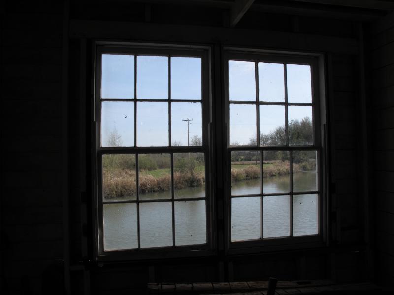
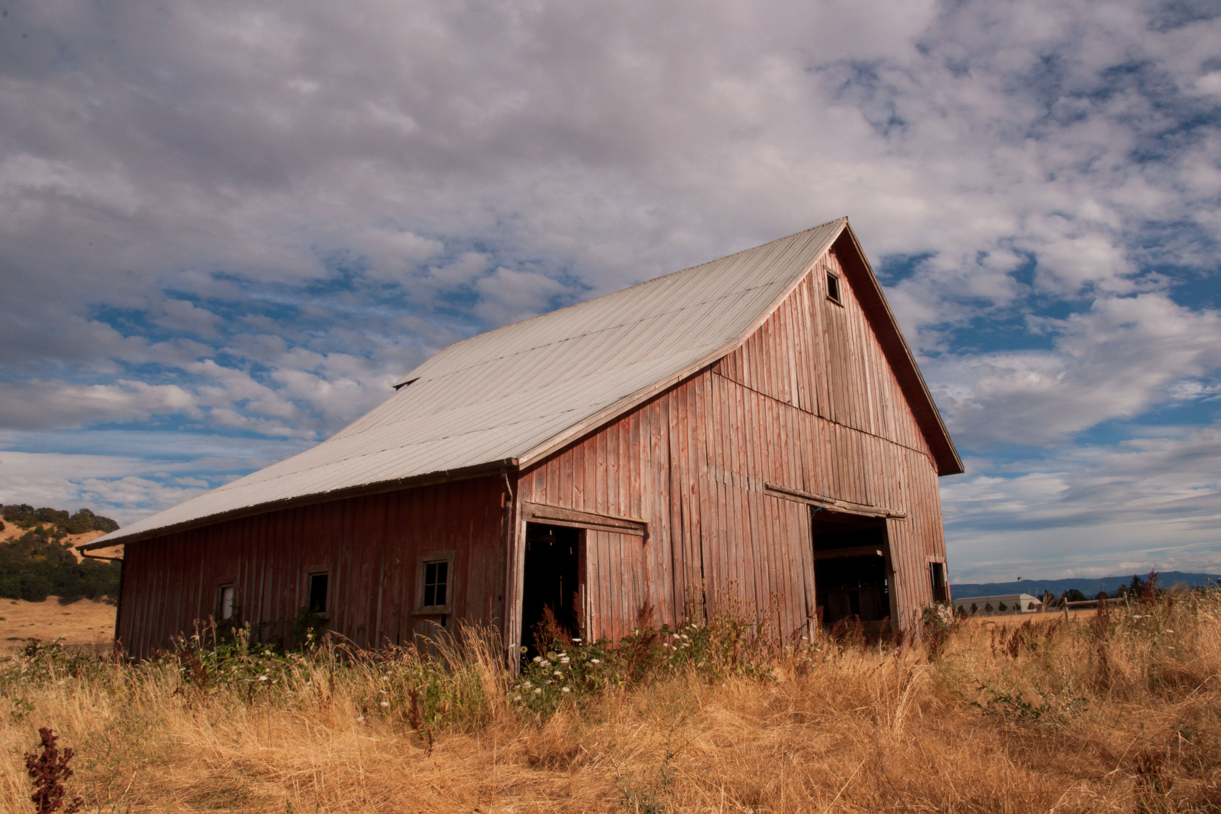
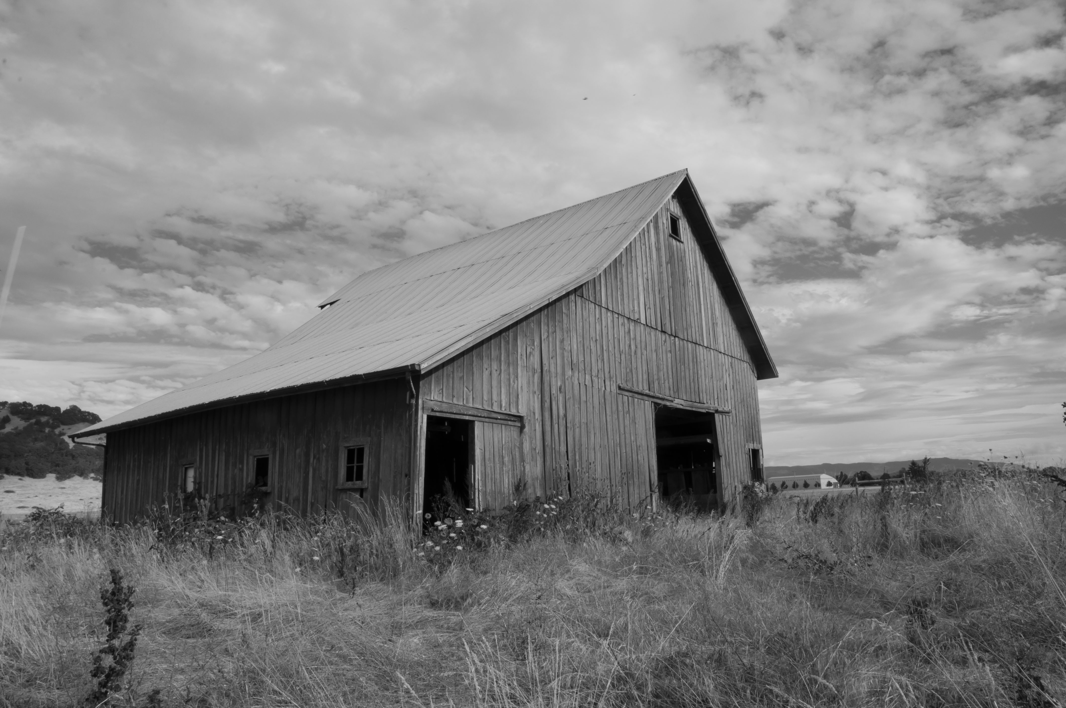
Related Photos:

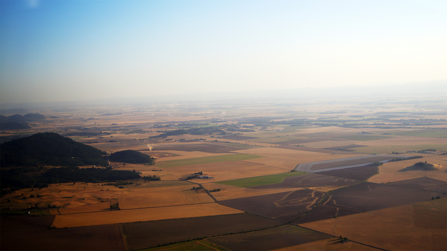
a view from above

Cabbage Worm on Kale

Beams of Sunlight...... Image by Eva.
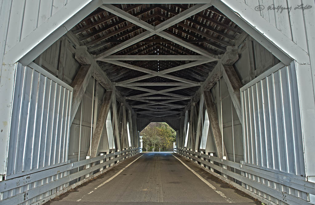
Covered Bridge
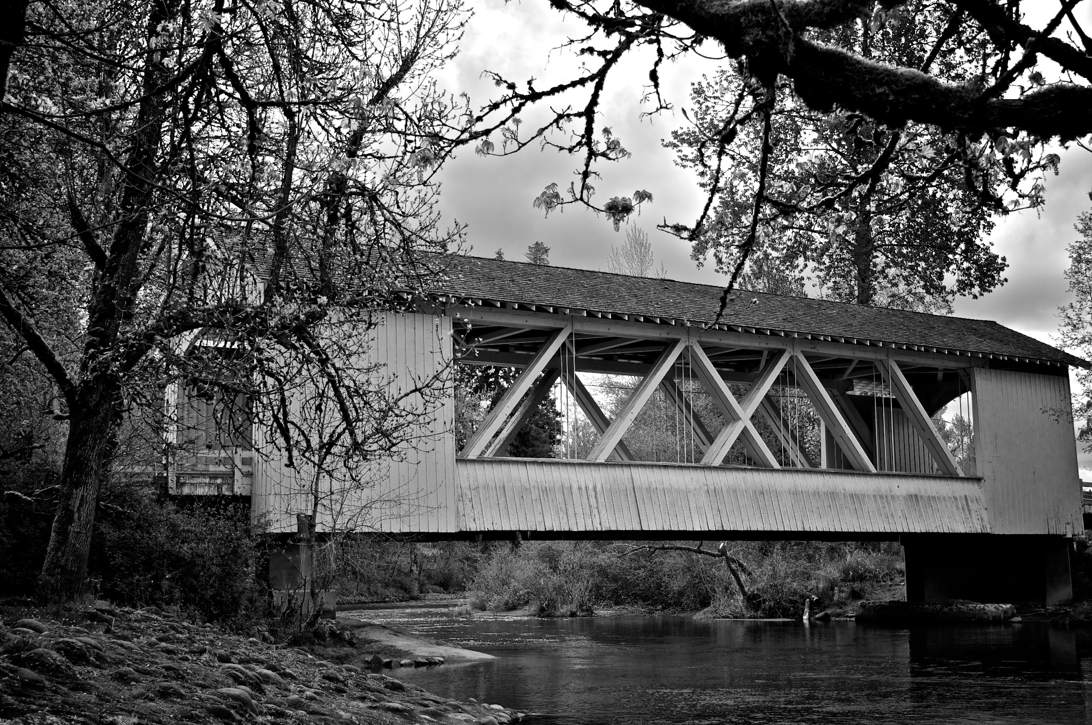
Larwood Covered Bridge

2-4-09
Parents Yard (103/366)

Jetta Peterson

Hawthorn Berries.

31/365

November Sky
3-13-09

Dog Horse Interaction
Thompson Mills_10-03-20_0007

Thompson Mills_10-03-20_0013
Old Plain View Barn 29-2

Hoffman Covered Bridge

Autumn Rainstorm.jpg

Crepuscular Rays.jpg
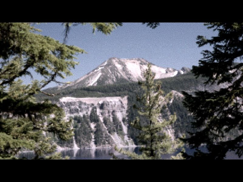
Mount Washington

#OregonSky
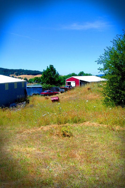
Plainview Barn

Takena Landing.

Mallard Creek Golf Course

Hoffman Covered Bridge

Parents House 1 of 6

Mary's Peak Sunset

Peterson Butte - Tilt Shift
Parents House 2 of 6

Willamette Valley
Willamette Valley
Parents House 4 of 6
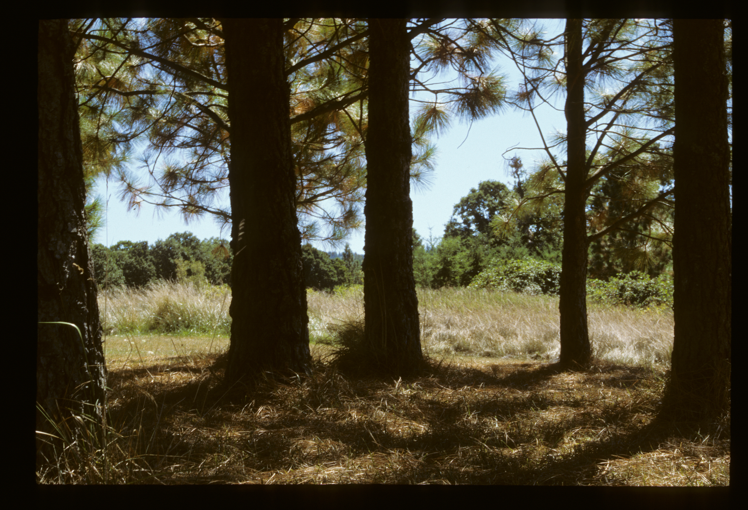
Through the trees
The Barn
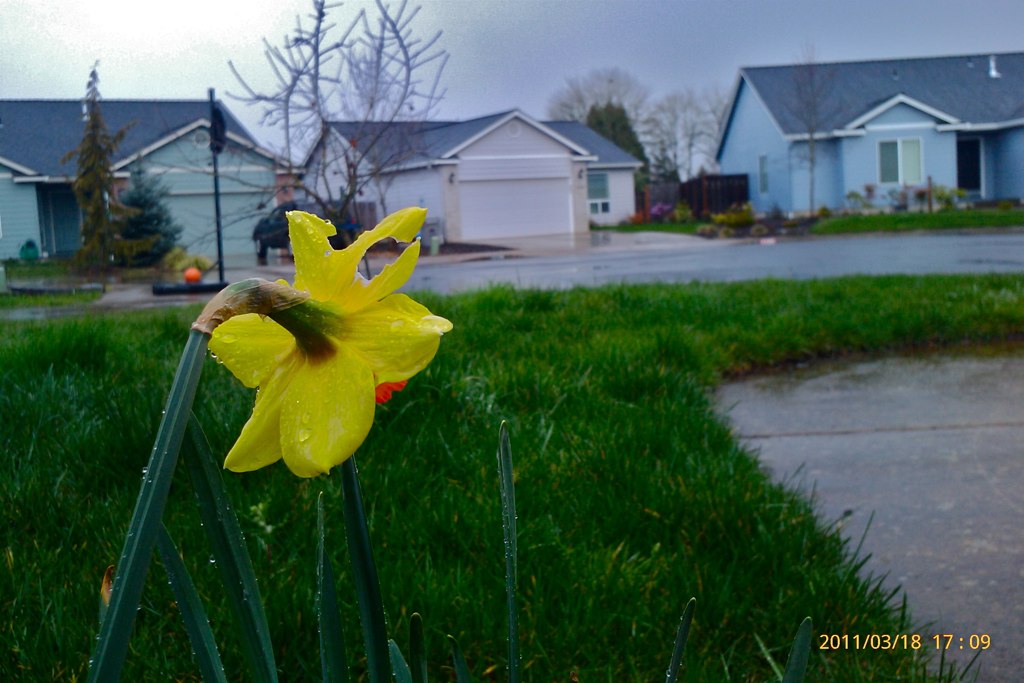
Rainy Day in Oregon
Topographic Map of W C St, Lebanon, OR, USA
Find elevation by address:

Places near W C St, Lebanon, OR, USA:
Lebanon
Fox Valley Road
Hillview Dr, Lebanon, OR, USA
36834 Victory Dr
Mount Hope Drive
Mount Hope Drive
Brewster Rd, Lebanon, OR, USA
Whitaker
30720 Sw 5th St
30720 Sw 5th St
First Creek Drive
2710 Cascade Dr
Townsend Road
Waterloo
12 S Railroad St, Lebanon, OR, USA
Crabtree
Hungry Hill Road
Sagebrush SE Dr, Lebanon, OR, USA
39785 Lacomb Dr
40188 Mcdowell Creek Dr
Recent Searches:
- Elevation of 6 Rue Jules Ferry, Beausoleil, France
- Elevation of Sattva Horizon, 4JC6+G9P, Vinayak Nagar, Kattigenahalli, Bengaluru, Karnataka, India
- Elevation of Great Brook Sports, Gold Star Hwy, Groton, CT, USA
- Elevation of 10 Mountain Laurels Dr, Nashua, NH, USA
- Elevation of 16 Gilboa Ln, Nashua, NH, USA
- Elevation of Laurel Rd, Townsend, TN, USA
- Elevation of 3 Nestling Wood Dr, Long Valley, NJ, USA
- Elevation of Ilungu, Tanzania
- Elevation of Yellow Springs Road, Yellow Springs Rd, Chester Springs, PA, USA
- Elevation of Rēzekne Municipality, Latvia