Elevation of Brewster Rd, Lebanon, OR, USA
Location: United States > Oregon > Linn County > Lebanon >
Longitude: -122.87443
Latitude: 44.558299
Elevation: 113m / 371feet
Barometric Pressure: 100KPa
Elevation Map:
Satellite Map:
Related Photos:

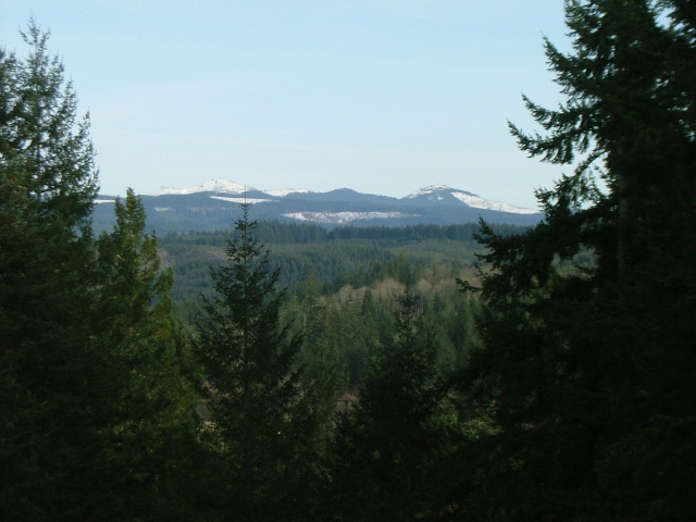
Late Autumn Evening.....
T-Shirt Project

Thistle Cones blown over by the strong winds....
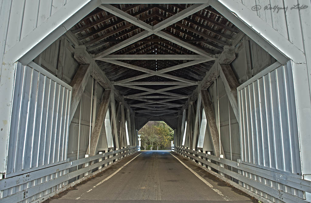
Covered Bridge

2-4-09
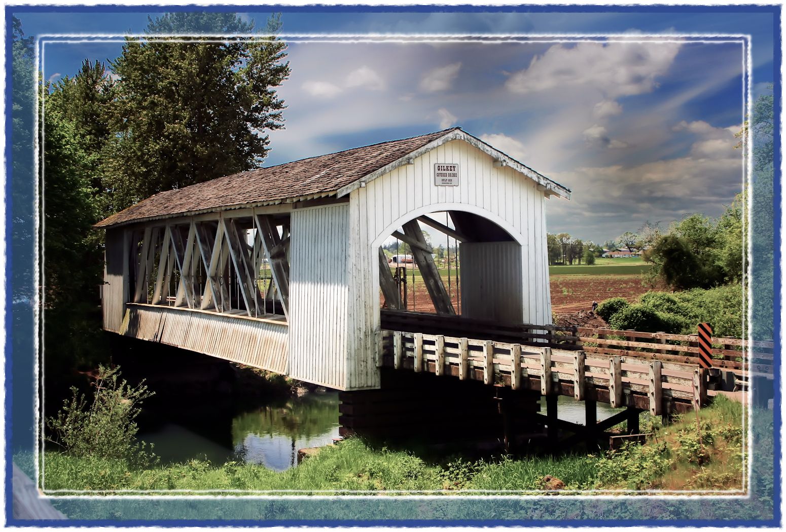
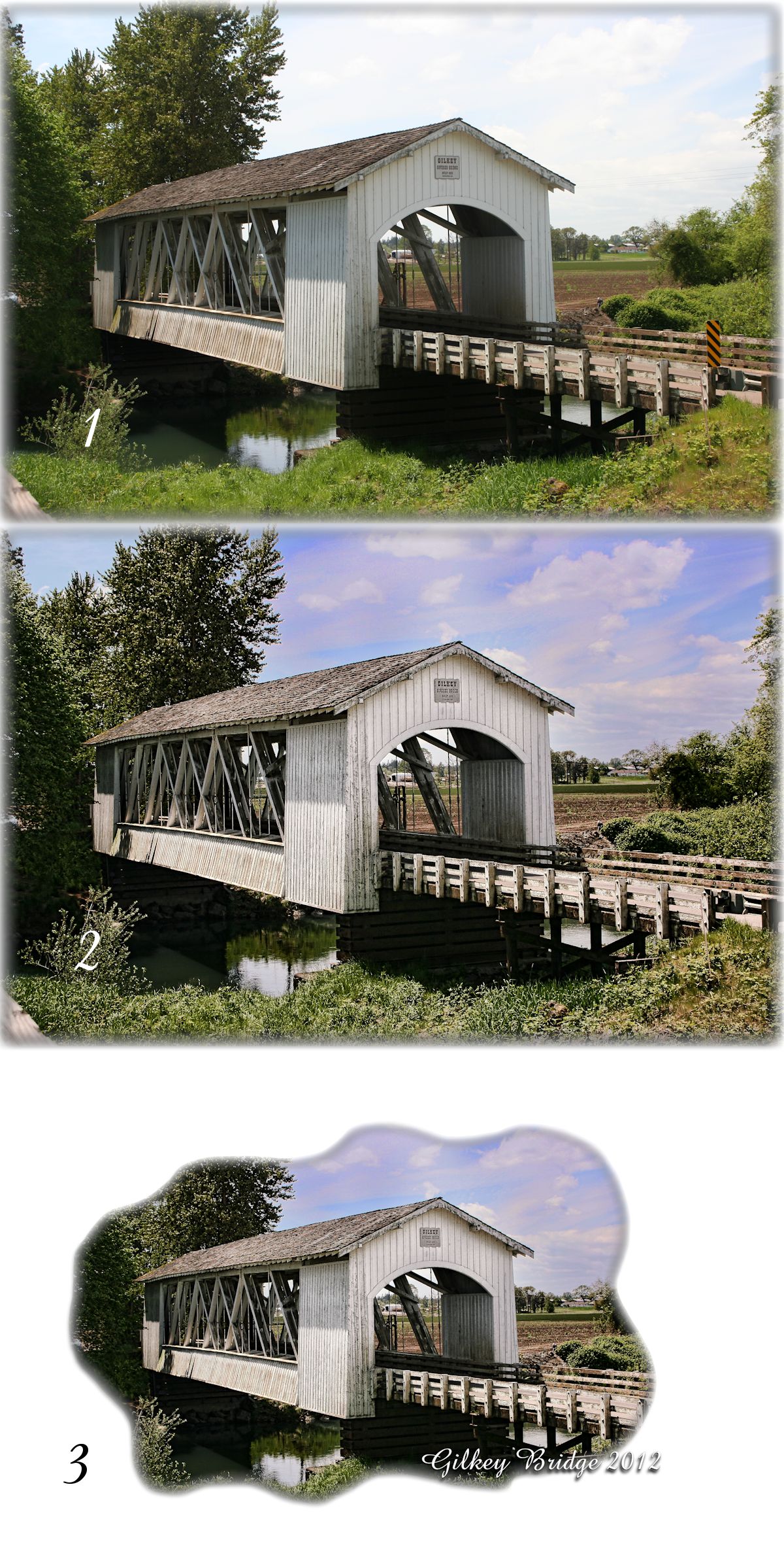
Gilkey Bridge

Hawthorn Berries.
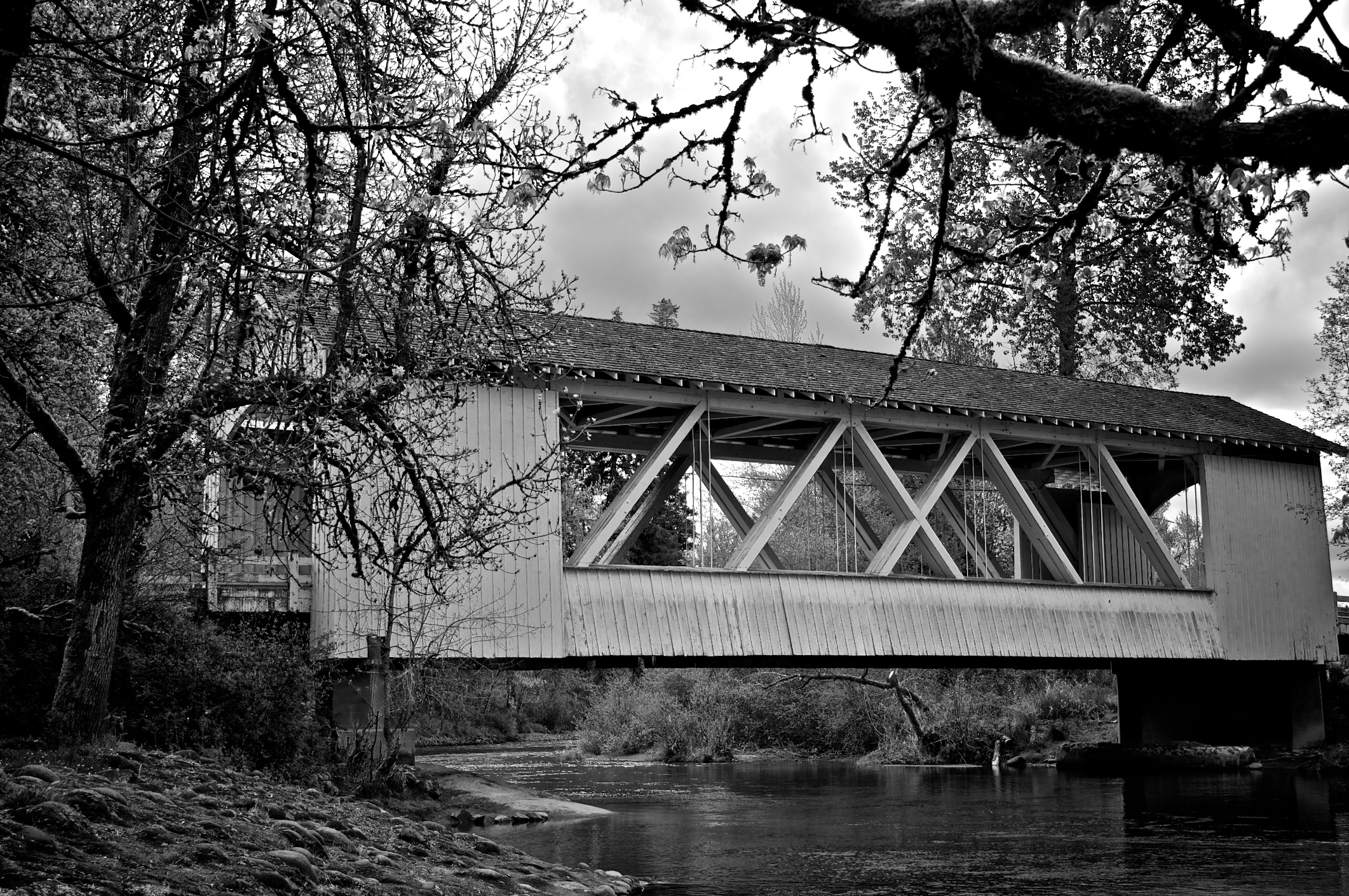
Larwood Covered Bridge
3-13-09

Parents Yard (103/366)

Jetta Peterson

Dog Horse Interaction

Growing up Gustav

Old but Shiny

Autumn Rainstorm.jpg

Crepuscular Rays.jpg

82/365

#OregonSky

Mallard Creek Golf Course

Flooded Path
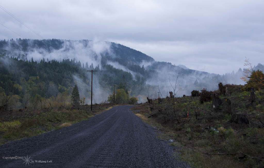
A Rain drenched Day....

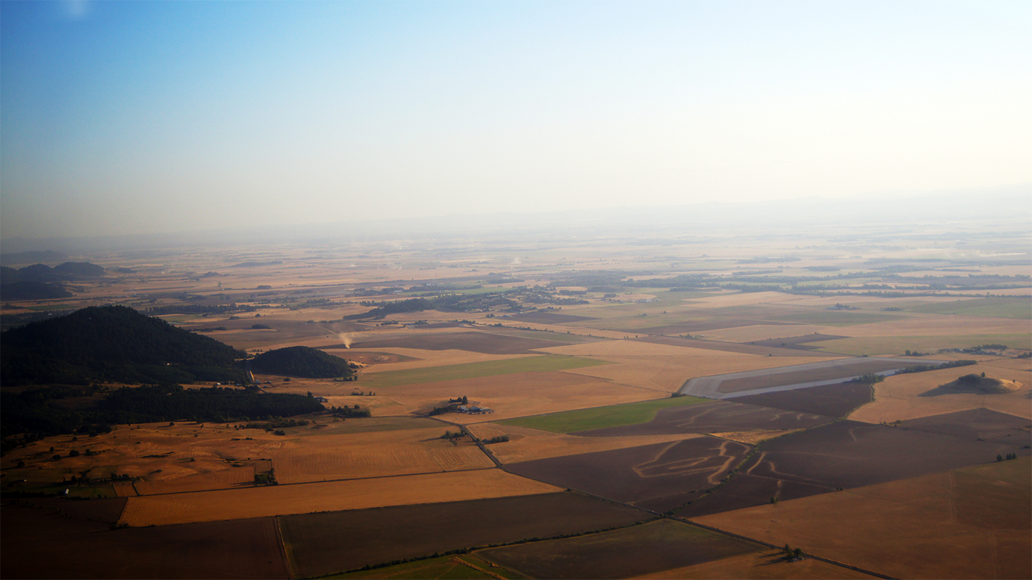
Willamette Valley
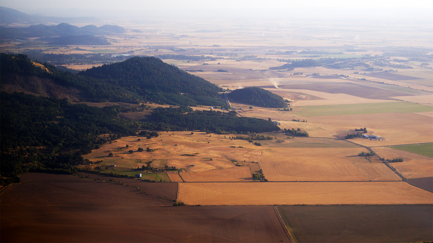
Willamette Valley

Willamette Valley

santiam central cemetery
Willamette Valley
Topographic Map of Brewster Rd, Lebanon, OR, USA
Find elevation by address:

Places near Brewster Rd, Lebanon, OR, USA:
Whitaker
Mount Hope Drive
Mount Hope Drive
First Creek Drive
Lebanon
592 W C St
Hillview Dr, Lebanon, OR, USA
2710 Cascade Dr
Fox Valley Road
39785 Lacomb Dr
36834 Victory Dr
12 S Railroad St, Lebanon, OR, USA
Crabtree
Waterloo
Hungry Hill Road
Townsend Road
30720 Sw 5th St
30720 Sw 5th St
Sagebrush SE Dr, Lebanon, OR, USA
Lebanon, OR, USA
Recent Searches:
- Elevation of Co Rd 87, Jamestown, CO, USA
- Elevation of Tenjo, Cundinamarca, Colombia
- Elevation of Côte-des-Neiges, Montreal, QC H4A 3J6, Canada
- Elevation of Bobcat Dr, Helena, MT, USA
- Elevation of Zu den Ihlowbergen, Althüttendorf, Germany
- Elevation of Badaber, Peshawar, Khyber Pakhtunkhwa, Pakistan
- Elevation of SE Heron Loop, Lincoln City, OR, USA
- Elevation of Slanický ostrov, 01 Námestovo, Slovakia
- Elevation of Spaceport America, Co Rd A, Truth or Consequences, NM, USA
- Elevation of Warwick, RI, USA