Elevation of Mountain Home Dr, Brownsville, OR, USA
Location: United States > Oregon > Linn County > Brownsville >
Longitude: -122.87326
Latitude: 44.411382
Elevation: 380m / 1247feet
Barometric Pressure: 97KPa
Elevation Map:
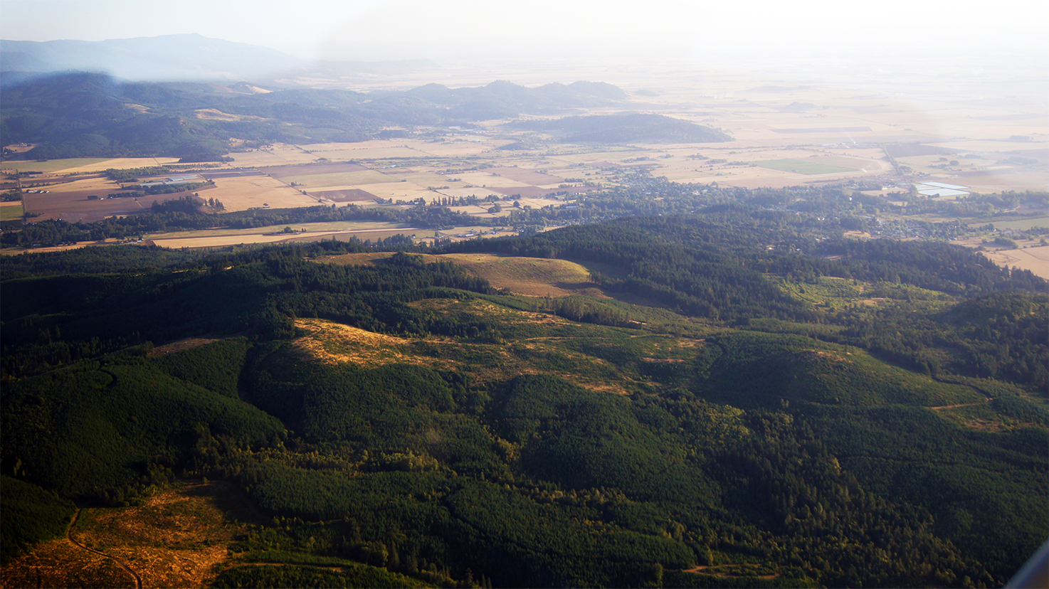
Satellite Map:
Related Photos:
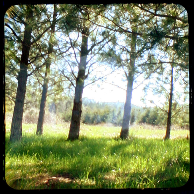
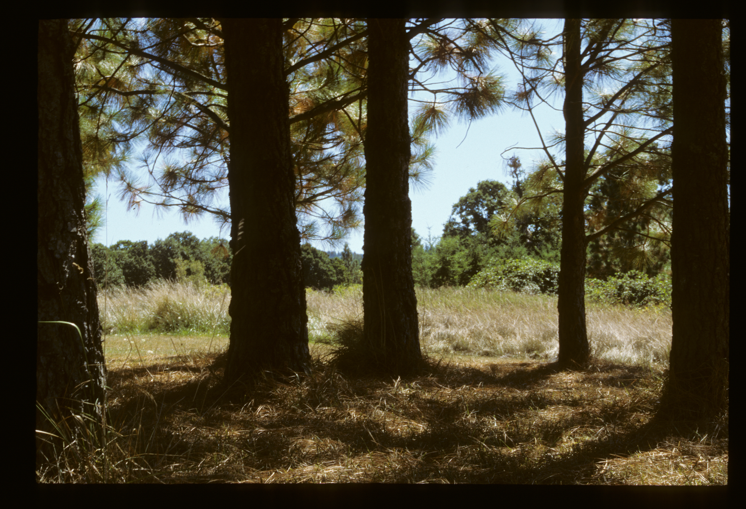
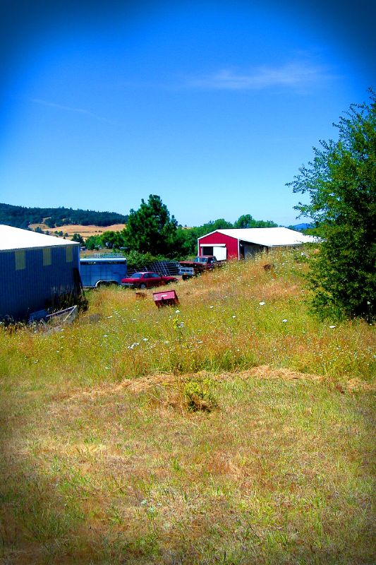
Parents Yard (103/366)
Jetta Peterson
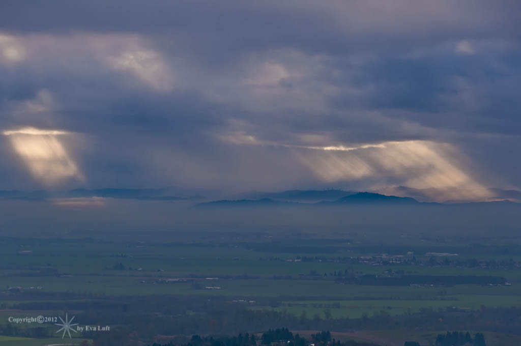
Beams of Sunlight...... Image by Eva.
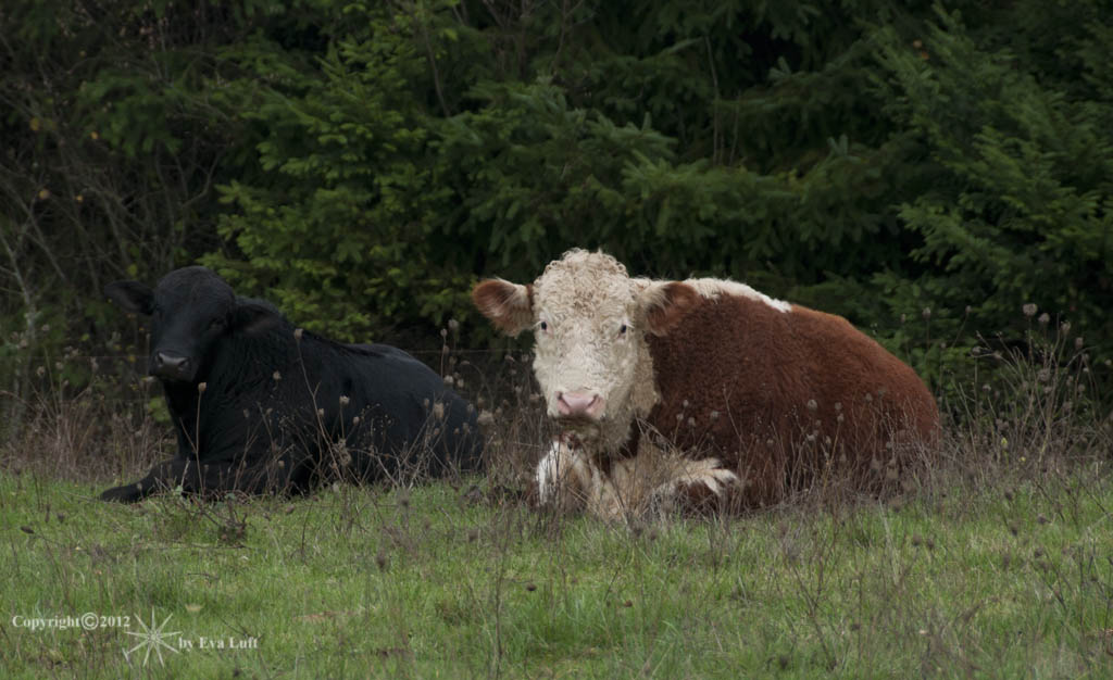
Peaceful-Co-Existence. Image by Eva.

Dog Horse Interaction

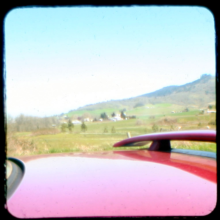
The Alamo Cinema Truck 3

Horse Rock Ridge, Study 2

Horse Rock Ridge, Study 1

The Alamo Cinema Truck 5
Old Plain View Barn 29-2

Alamo Cinema Truck 6
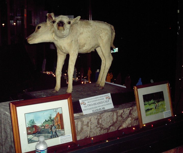
Two Headed Calf 3
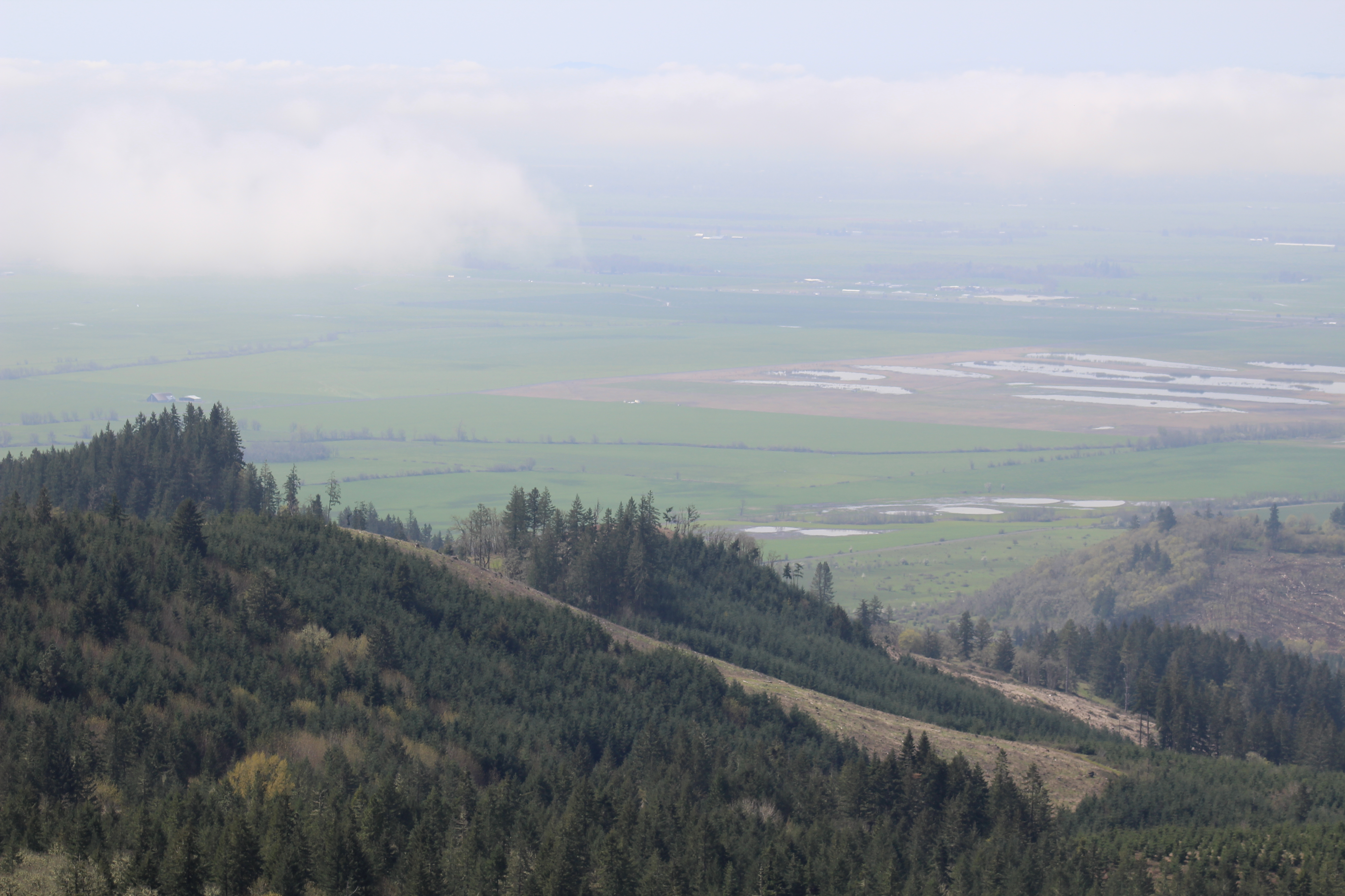
IMG_7231 Diamond Hill Road Wetlands

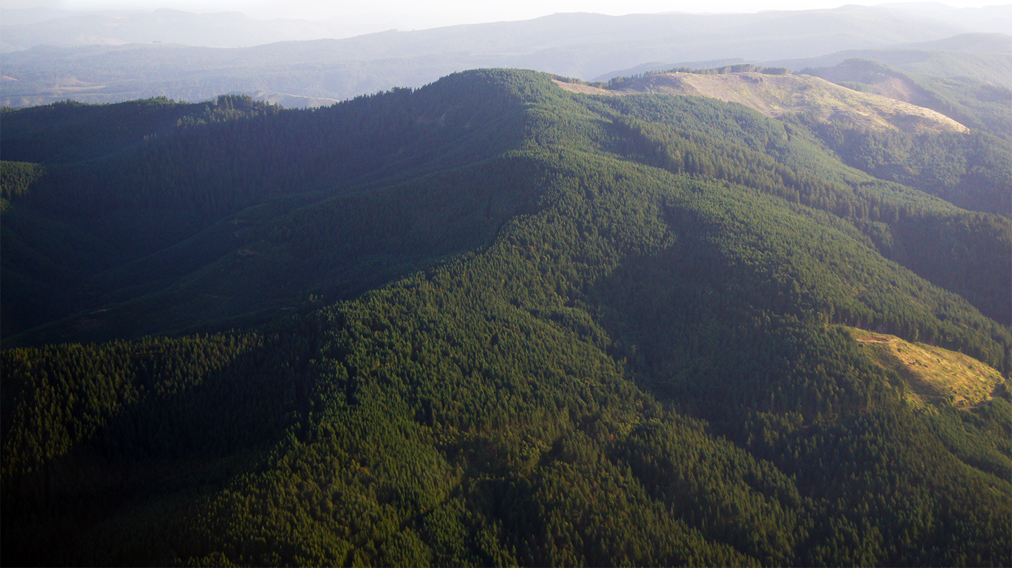
IMG_7233 Prairie Mountain
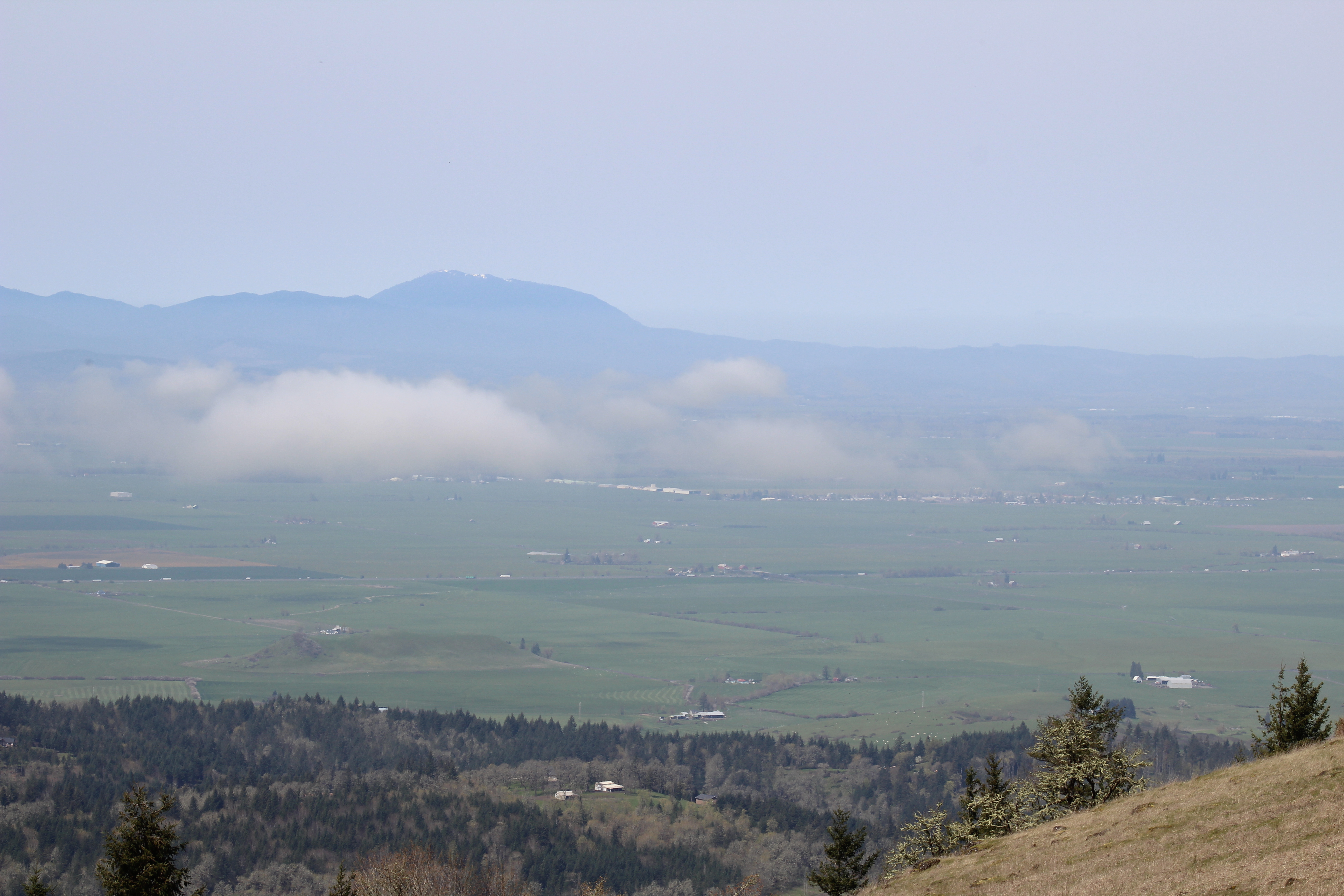
IMG_7228 Mary's Peak
IMG_7229 Diamond Hill Road Wetlands
IMG_7230 Diamond Hill Road Wetlands
Crawfordsville, Oregon

Carlson Hardware Lumber & Building

Bee Hives In A Field
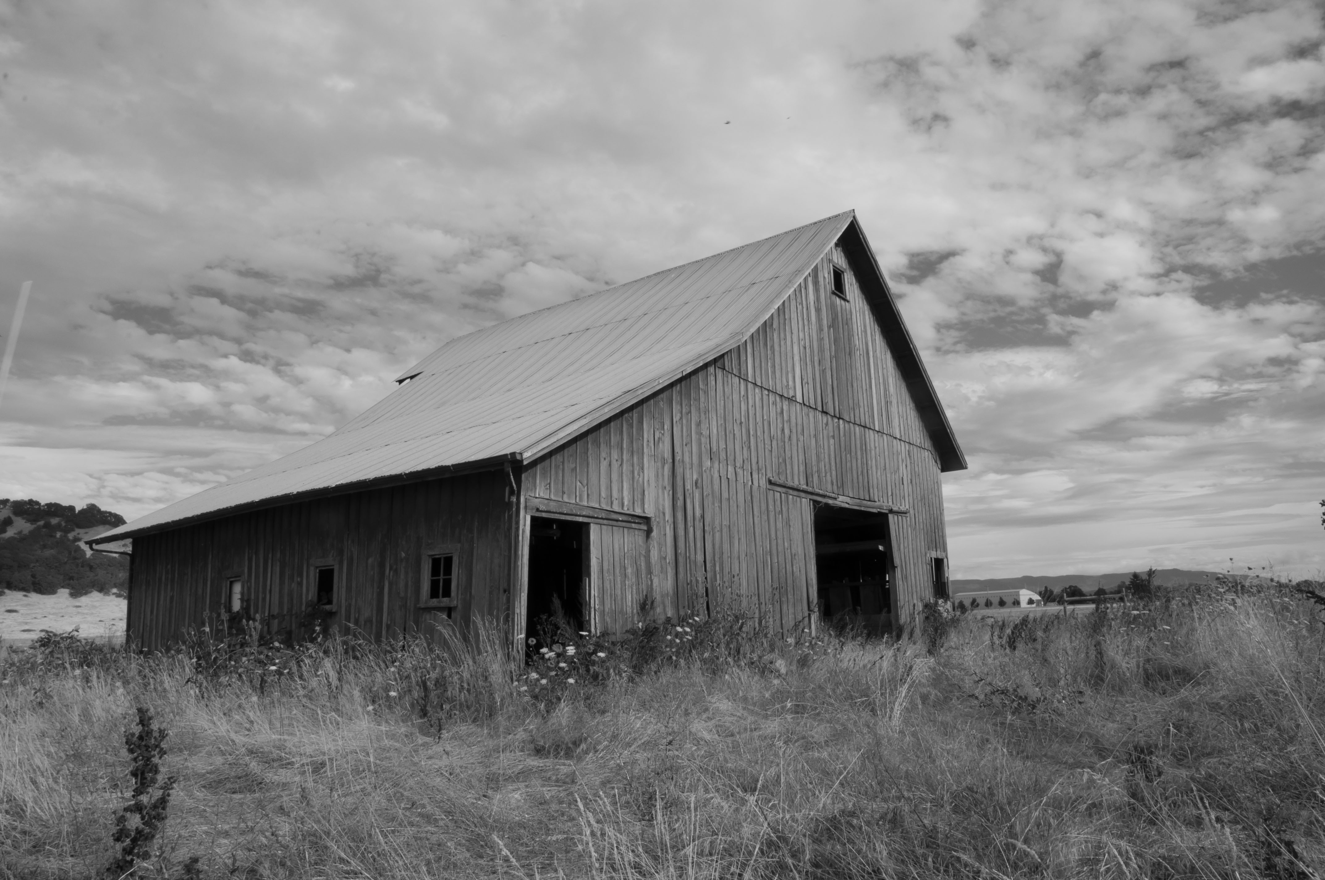
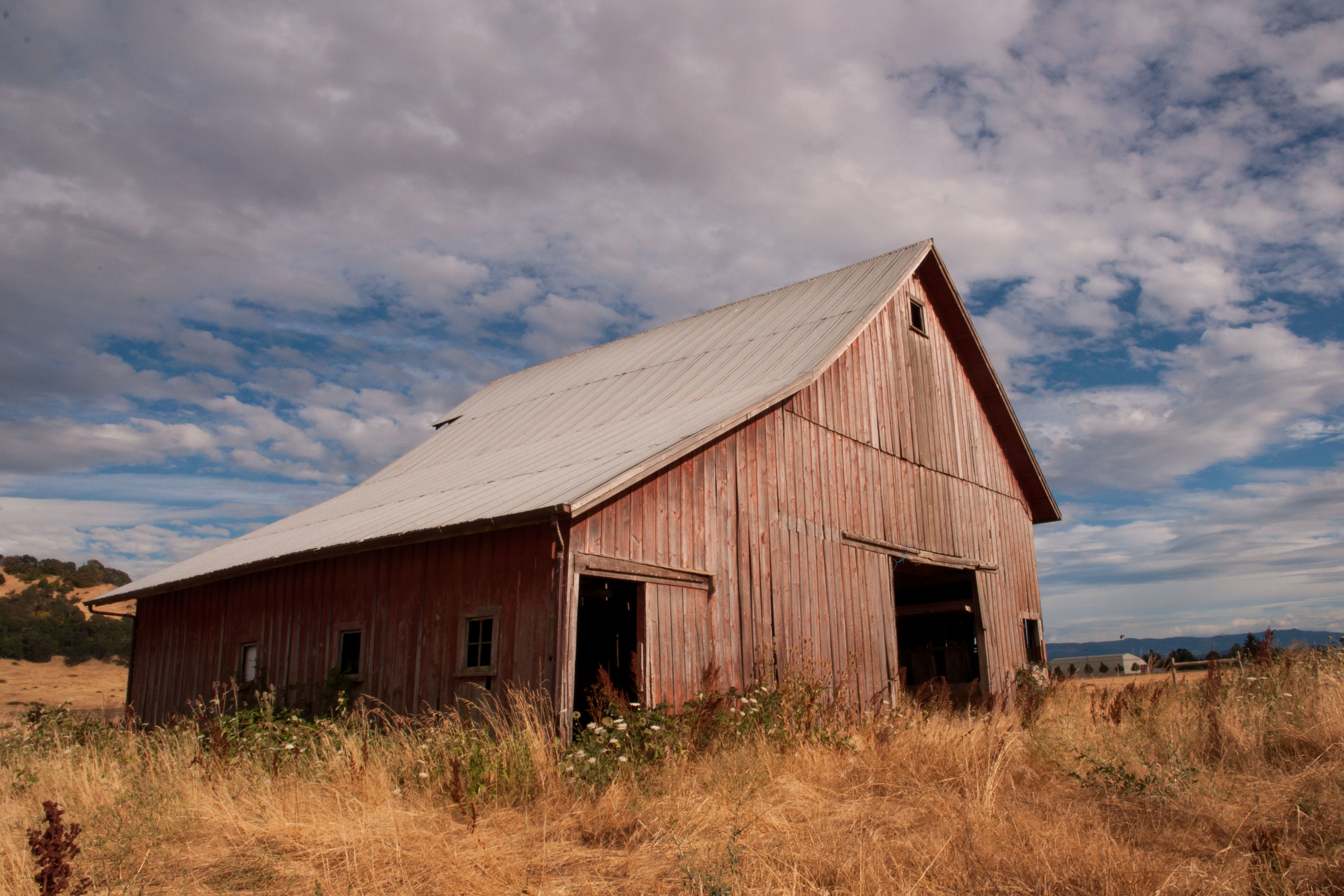
Plainview Barn

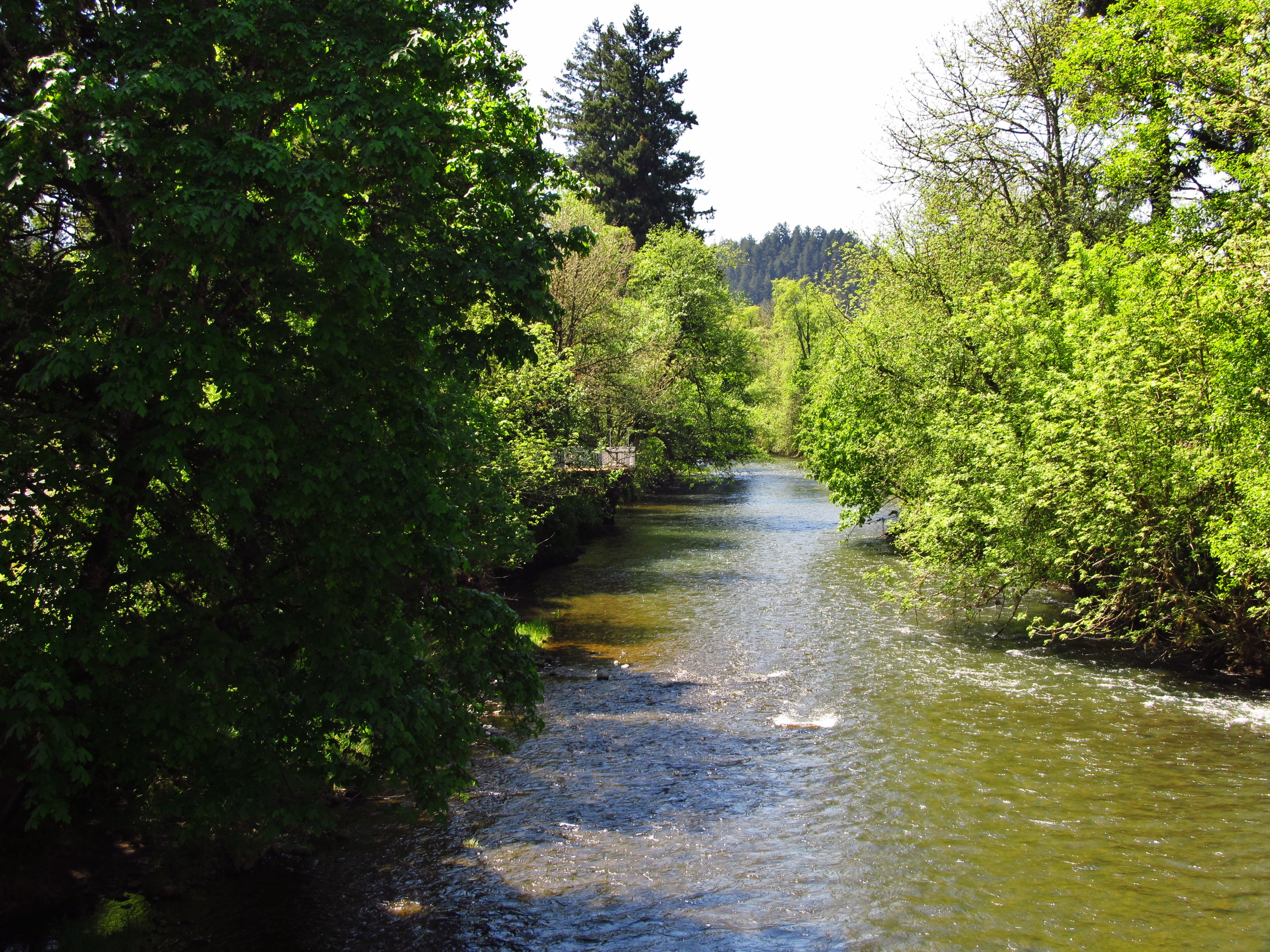
Beautiful Waterfall

Mallard Creek Golf Course

Flooded Path

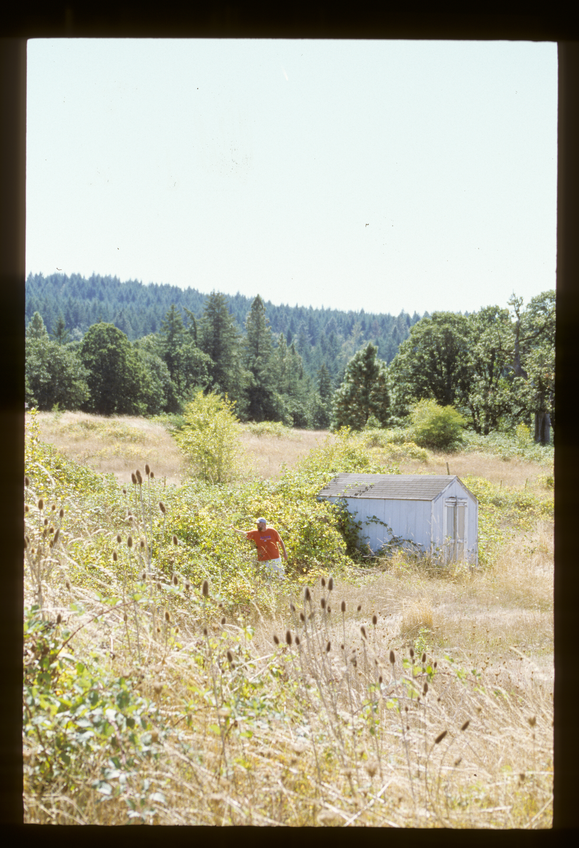
Parents House 1 of 6

Peterson Butte - Tilt Shift
Parents House 2 of 6

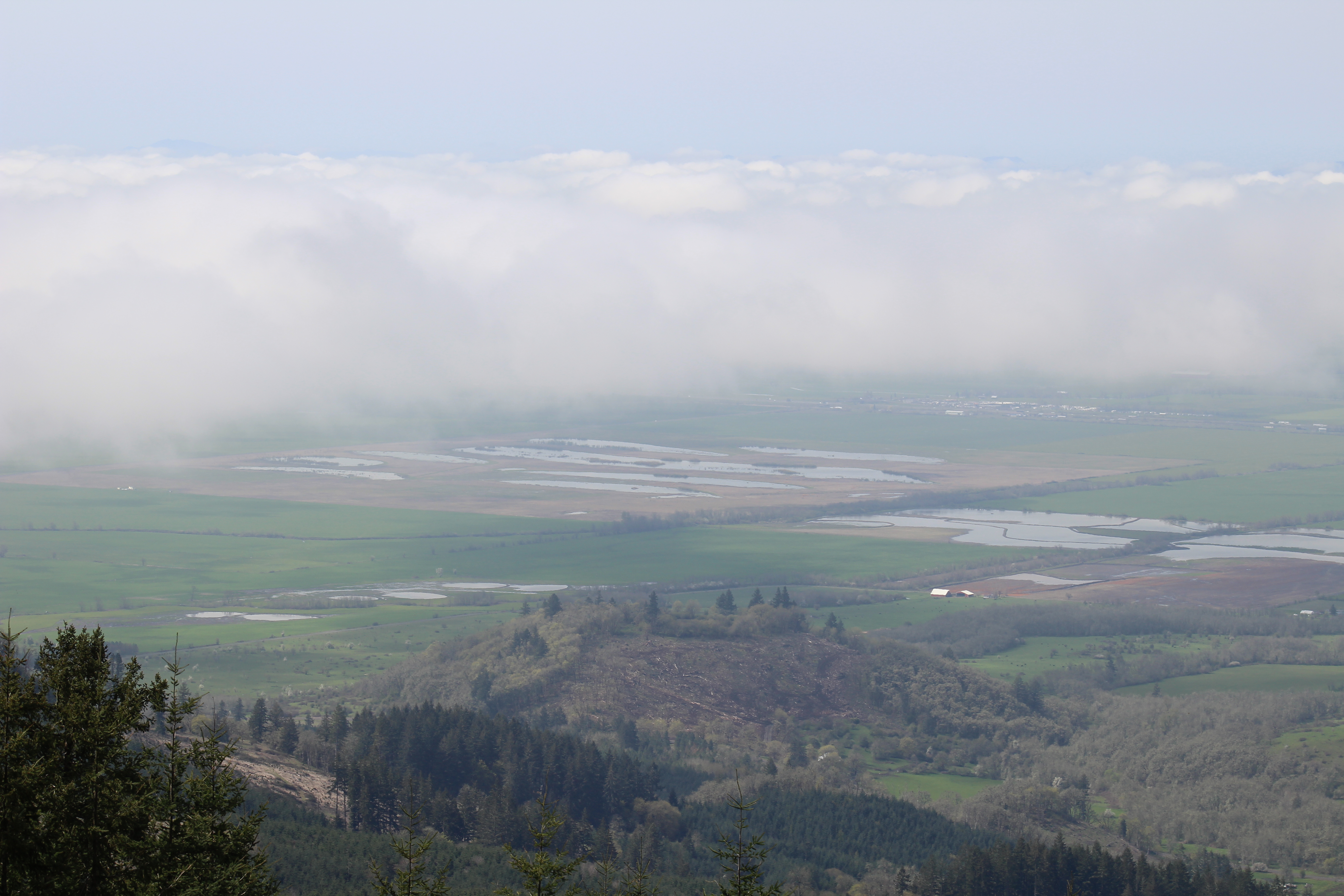
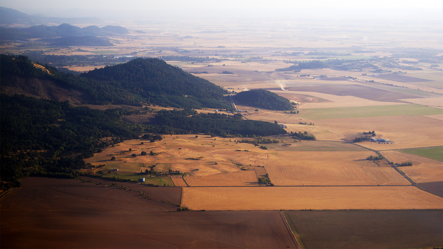
Willamette Valley
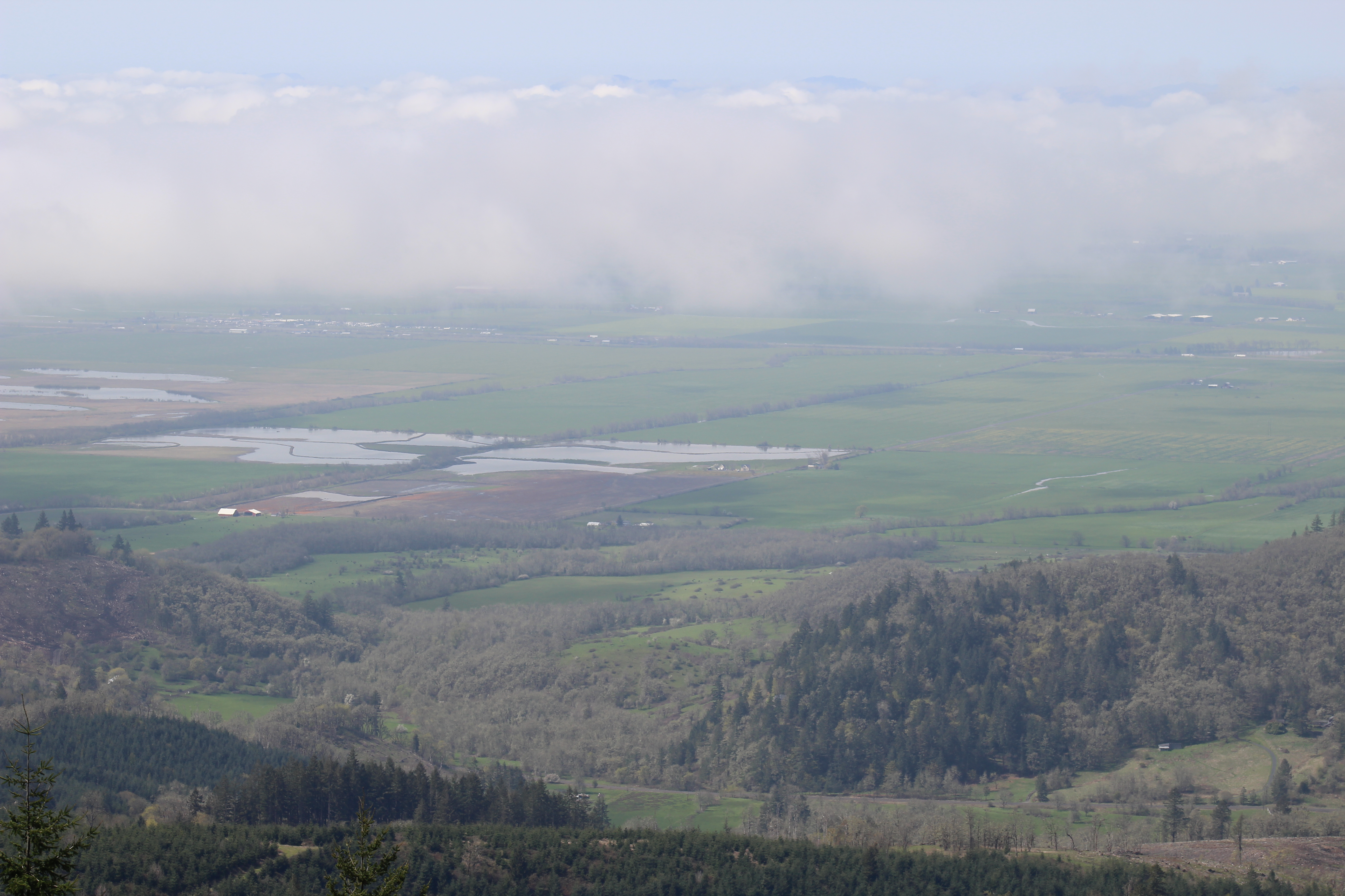
Willamette Valley
Parents House 4 of 6
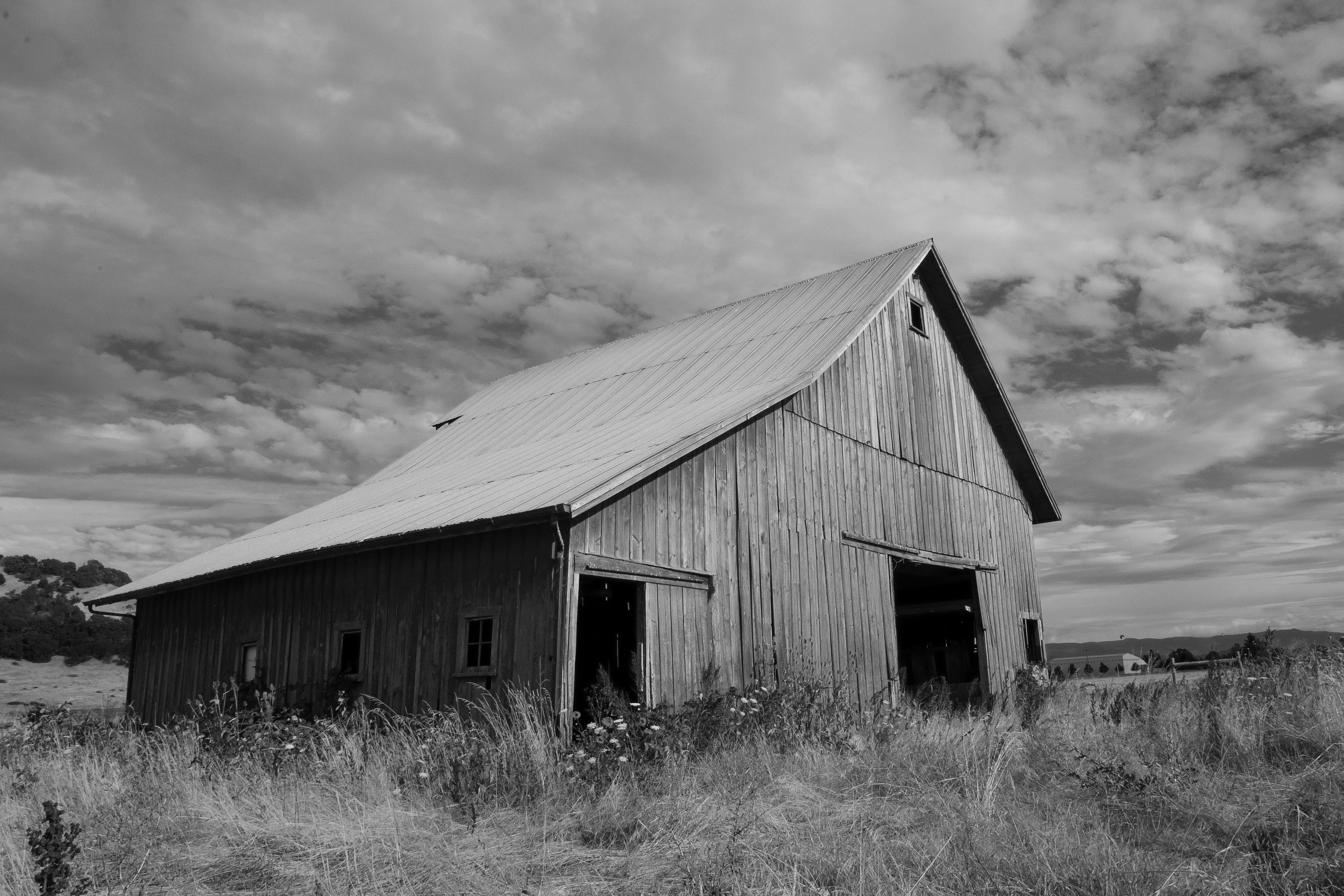
Old Plain View Barn 29
The Barn
Willamette Valley

Spring Meadow
Willamette Valley

Mallard Creek Hole #7
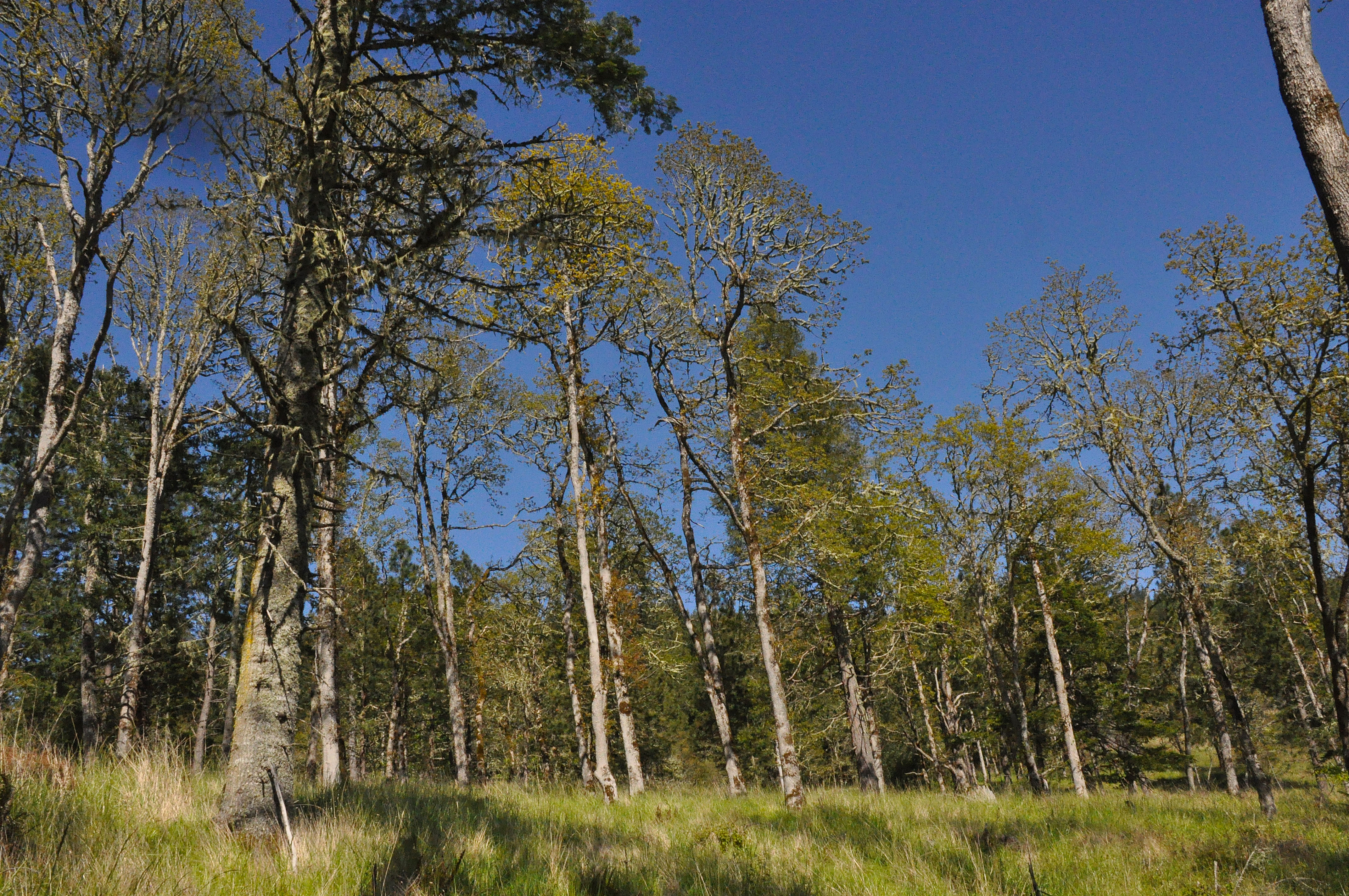
A restored oak woodland area
Willamette Valley
Topographic Map of Mountain Home Dr, Brownsville, OR, USA
Find elevation by address:

Places near Mountain Home Dr, Brownsville, OR, USA:
37370 Mountain Home Dr
36396 Kirk Dr
Townsend Road
37858 Courtney Creek Dr
Sagebrush SE Dr, Lebanon, OR, USA
Courtney Creek Drive
26716 Fern Ridge Rd
2710 Cascade Dr
30720 Sw 5th St
30720 Sw 5th St
Waterloo
Hillview Dr, Lebanon, OR, USA
36834 Victory Dr
40188 Mcdowell Creek Dr
Holley
35303 Washburn Heights Dr
205 Templeton St
Brownsville
35400 Washburn Heights Dr
Fox Valley Road
Recent Searches:
- Elevation of Groblershoop, South Africa
- Elevation of Power Generation Enterprises | Industrial Diesel Generators, Oak Ave, Canyon Country, CA, USA
- Elevation of Chesaw Rd, Oroville, WA, USA
- Elevation of N, Mt Pleasant, UT, USA
- Elevation of 6 Rue Jules Ferry, Beausoleil, France
- Elevation of Sattva Horizon, 4JC6+G9P, Vinayak Nagar, Kattigenahalli, Bengaluru, Karnataka, India
- Elevation of Great Brook Sports, Gold Star Hwy, Groton, CT, USA
- Elevation of 10 Mountain Laurels Dr, Nashua, NH, USA
- Elevation of 16 Gilboa Ln, Nashua, NH, USA
- Elevation of Laurel Rd, Townsend, TN, USA