Elevation of Browns Gap Rd, Crossville, TN, USA
Location: United States > Tennessee > Cumberland County > Crossville >
Longitude: -85.021255
Latitude: 35.7911314
Elevation: 576m / 1890feet
Barometric Pressure: 95KPa
Elevation Map:
Satellite Map:
Related Photos:
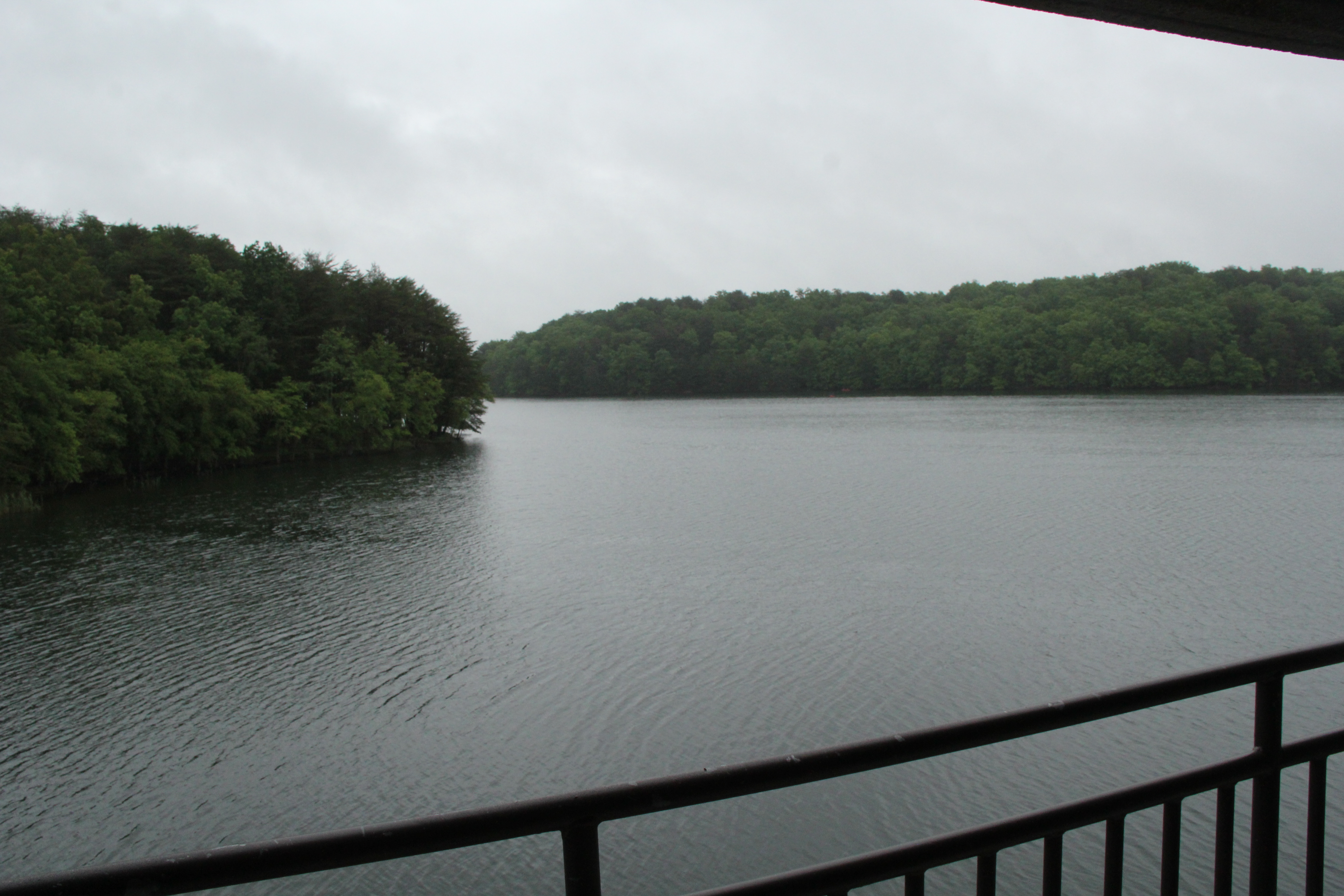
Balcony View

Balcony View
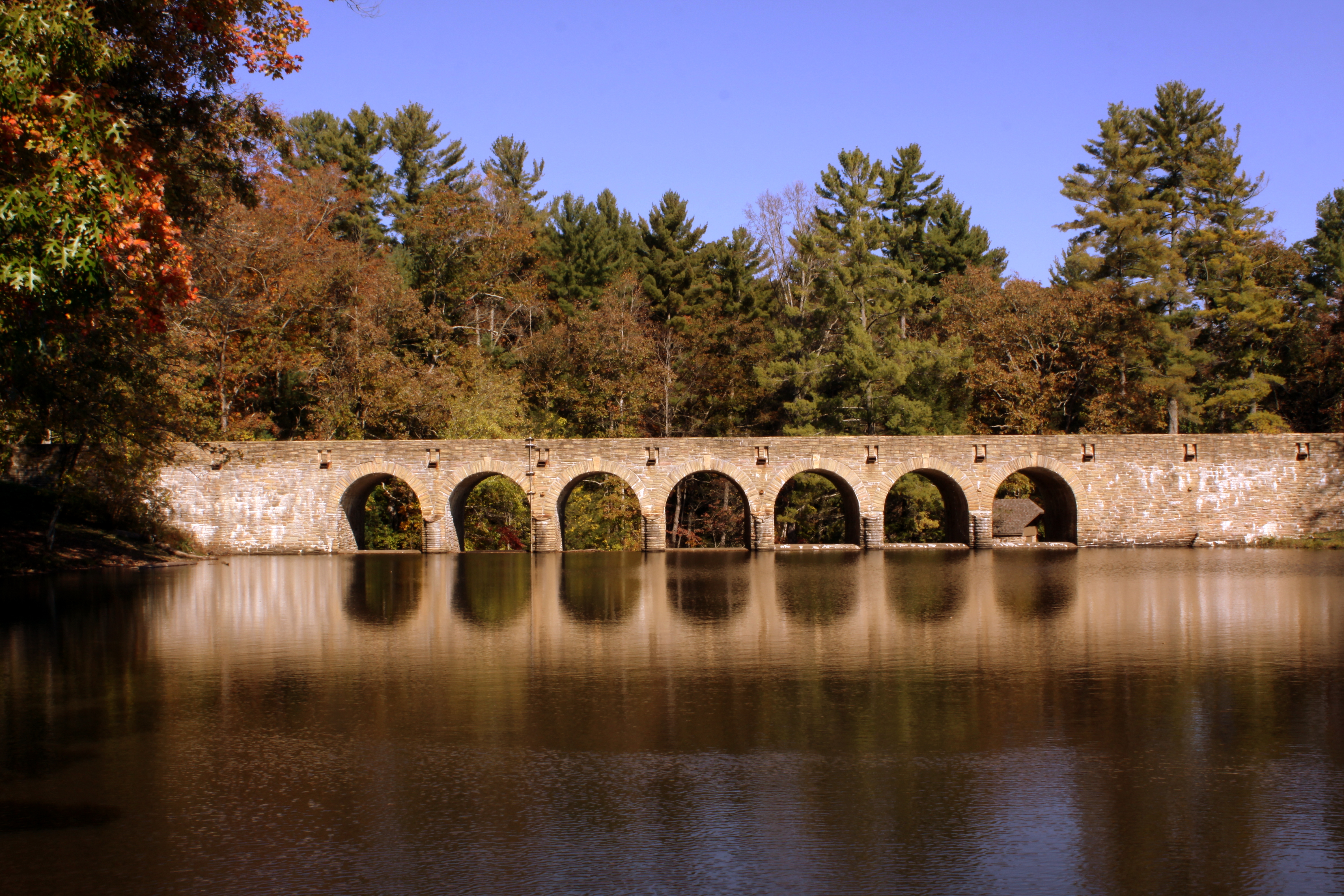
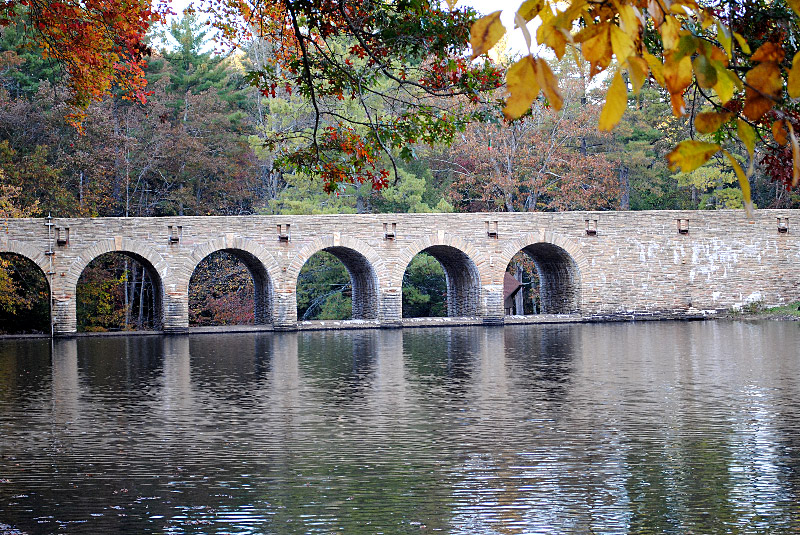
Cumberland Mountain State Park Stone Arch Bridge View #1

Cumberland Mountain State Park Stone Arch Bridge View #3
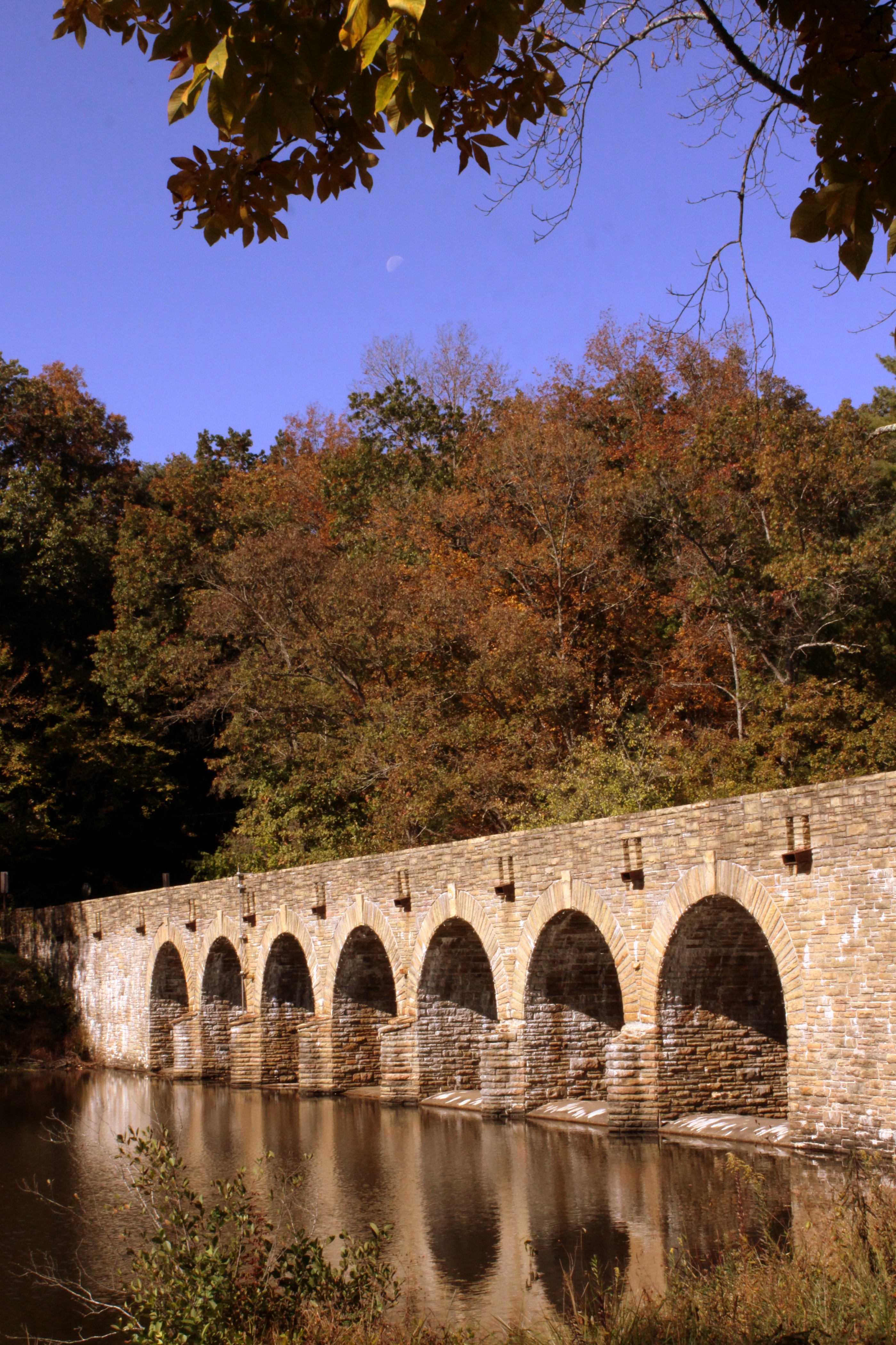
Cumberland Mountain State Park Stone Arch Bridge View #2
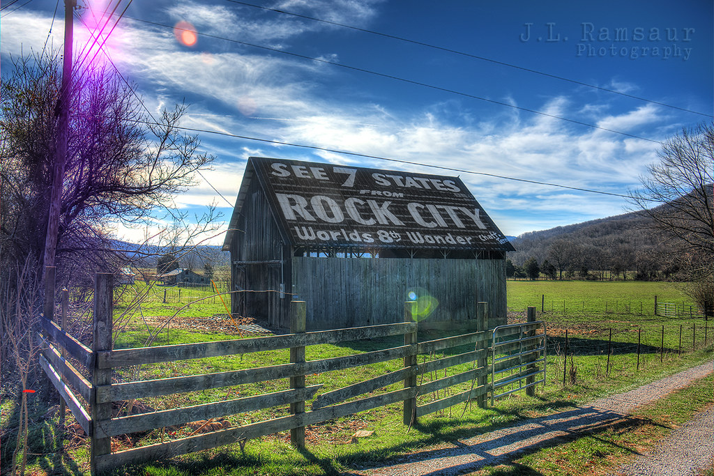
See Rock City Barn
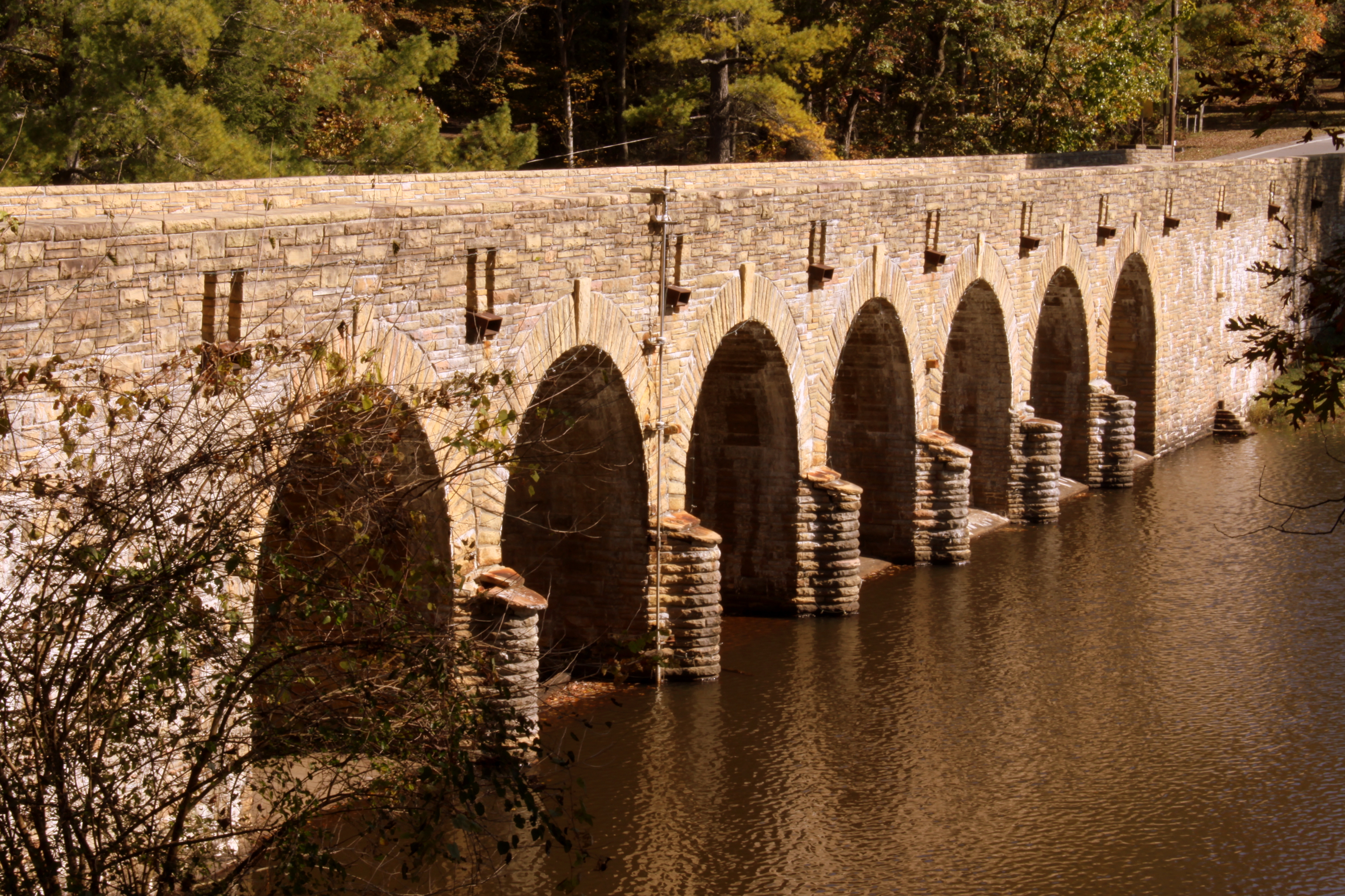
Cumberland Mountain State Park Stone Arch Bridge View #6
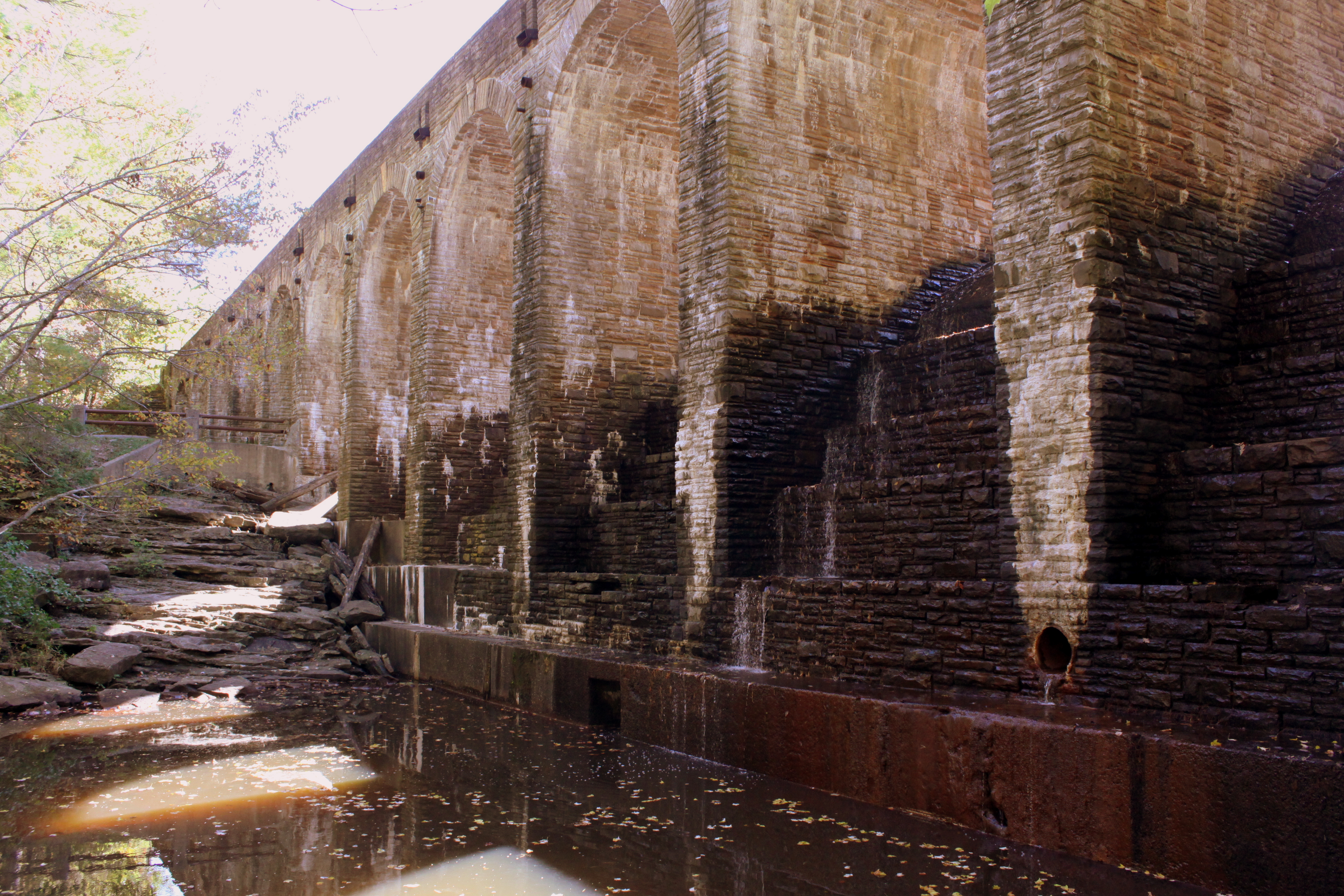
Cumberland Mountain State Park Stone Arch Bridge View #5: Spillway side

Cumberland Mountain State Park Stone Arch Bridge View #4
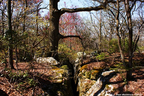
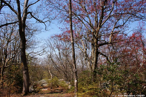
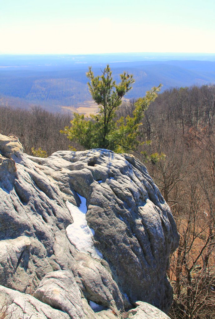
GRASSY COVE OUTCROP
Black Mountain Overlook
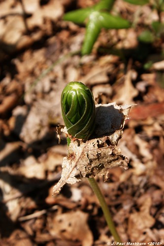
May Apple Unfolding
GRASSY COVE LOOP TRAIL
GRASSY COVE OUTCROP
OLD HOME PLACE
GRASSY COVE OVERLOOK
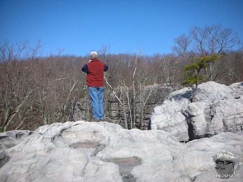
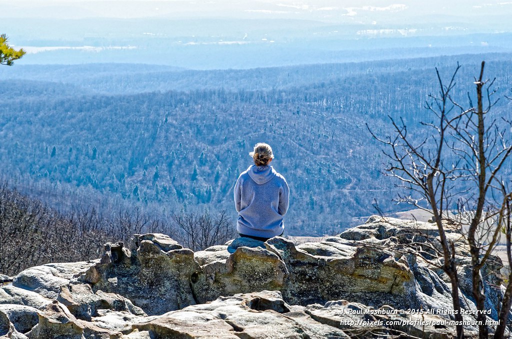
View From The Top
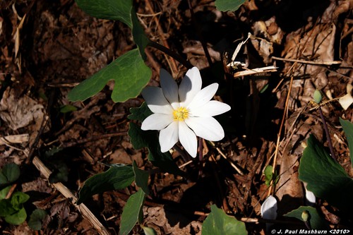
Blood Root
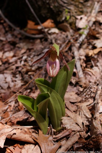
Pink Lady's Slipper
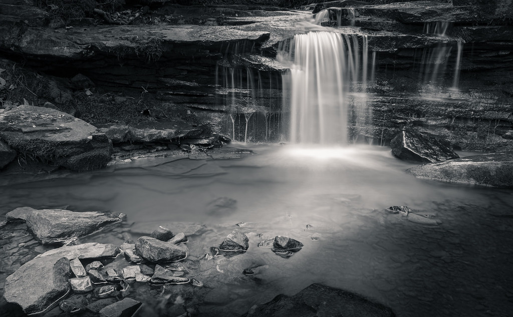
The Brook with no Name

Byrd Lake Dam and Bridge

Black Mountain overlook, Mike Sawatzki, Cumberland Trail State Park, Cumberland Co, TN
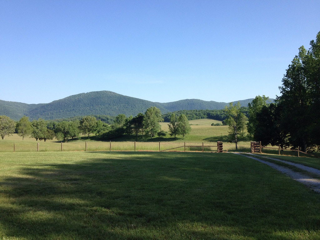
Down on the Farm

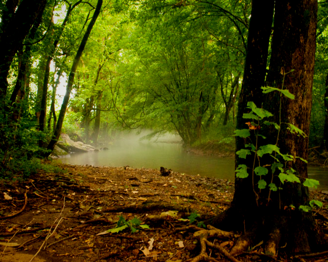
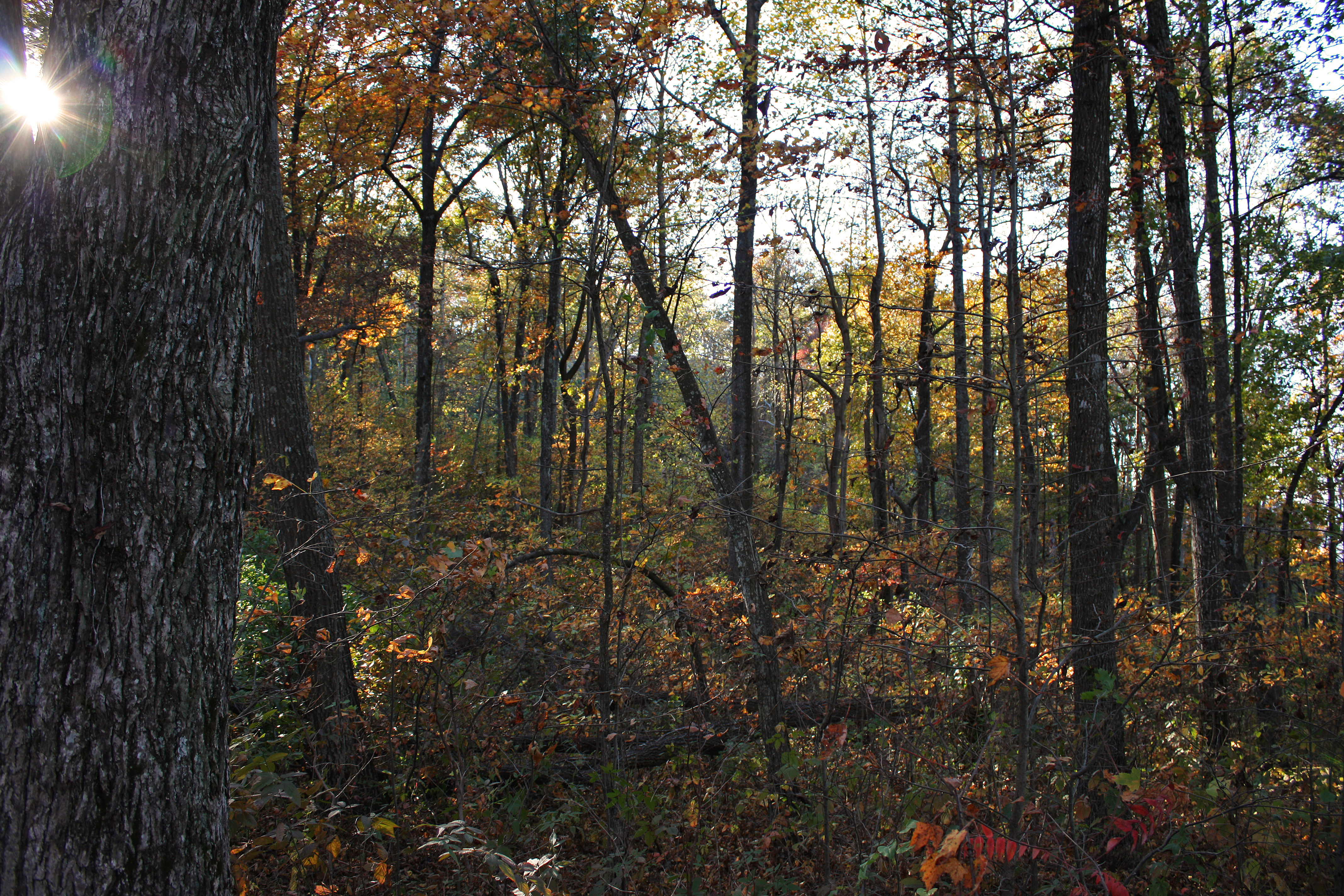
Peace of the Forest

Stone Bridge
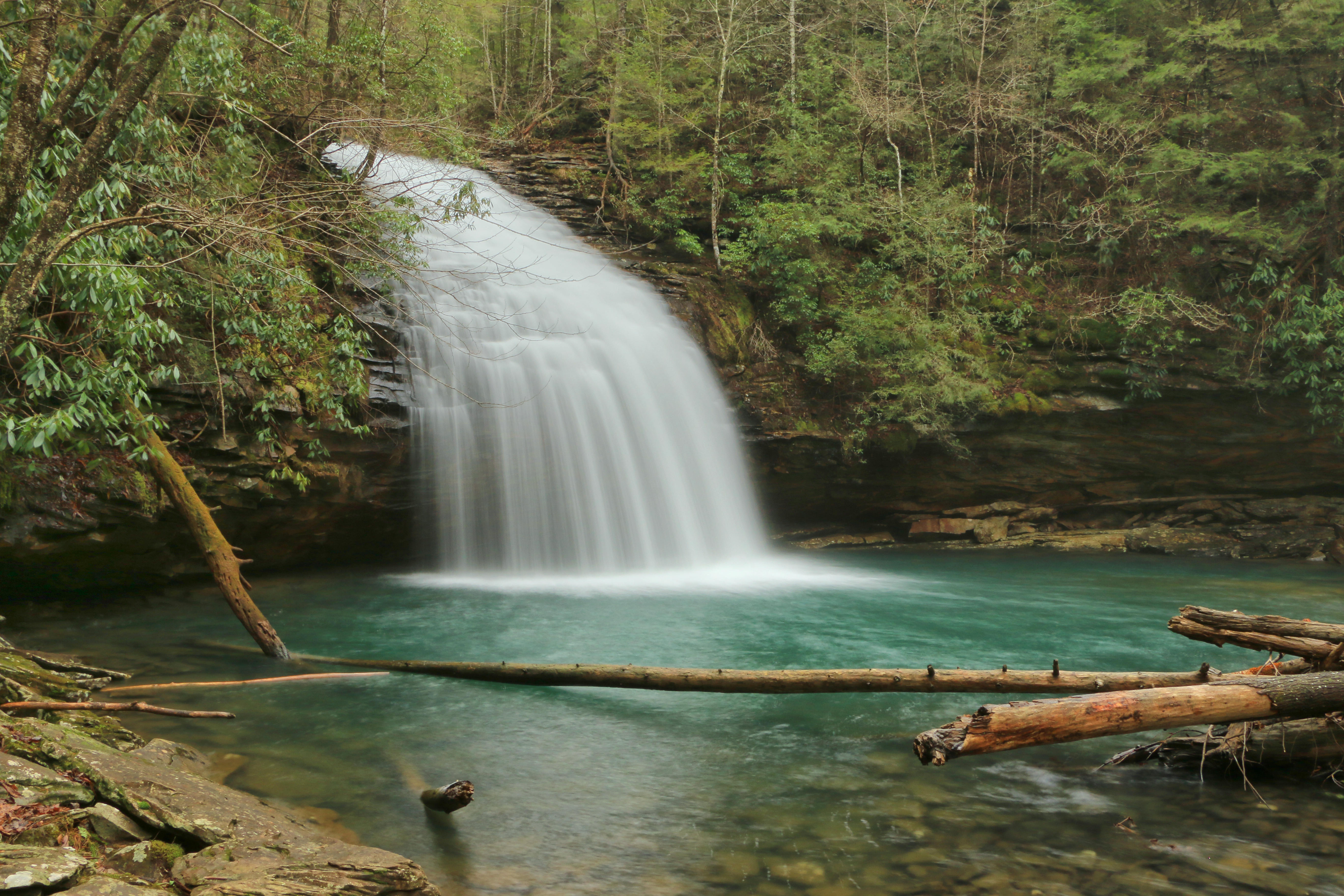
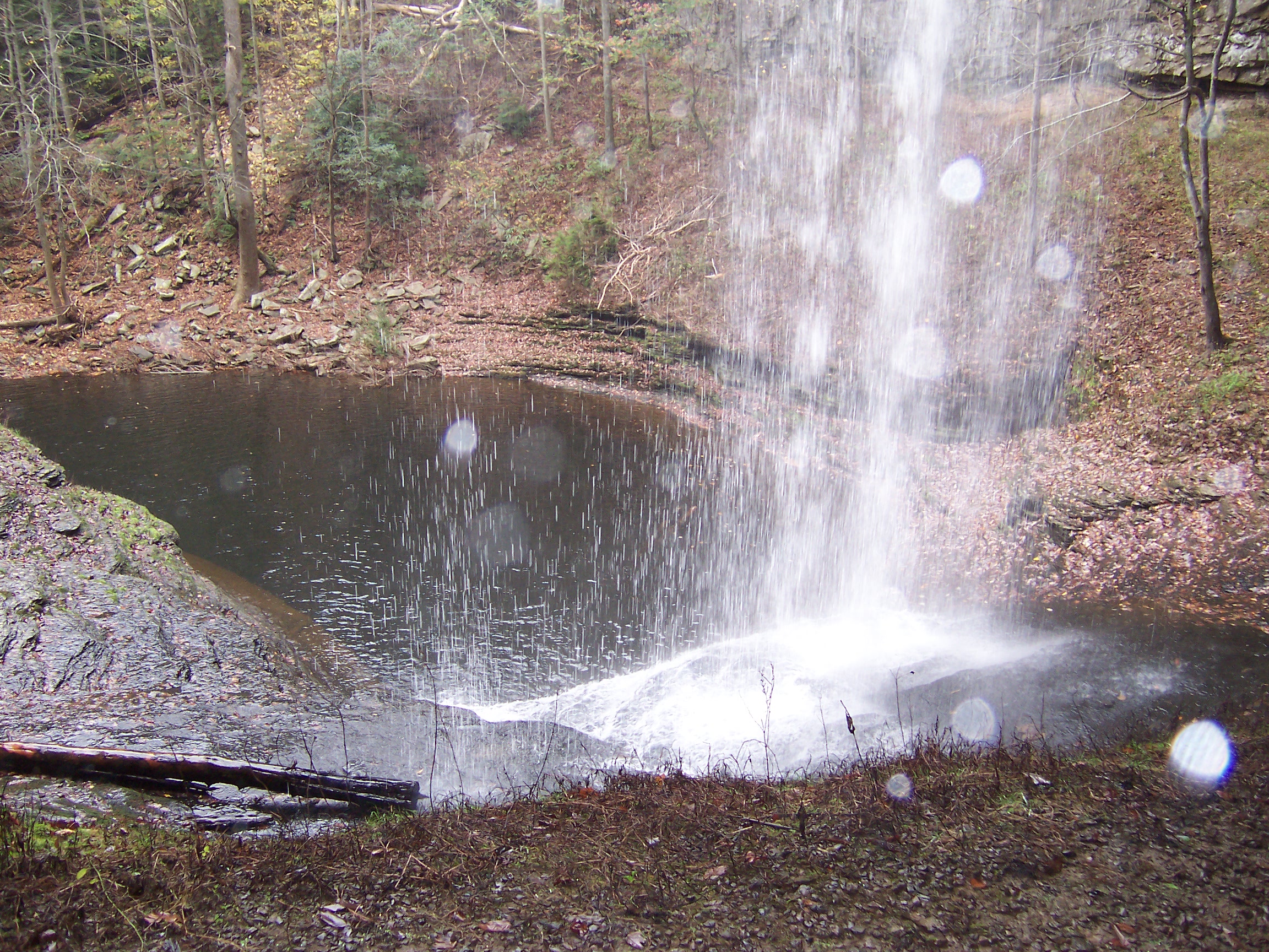
Stinging Fork Falls, Stinging Fork, Stinging Fork Falls State Natural Area, Walden Ridge, Rhea County, Tennessee 1
Sequatchie valley
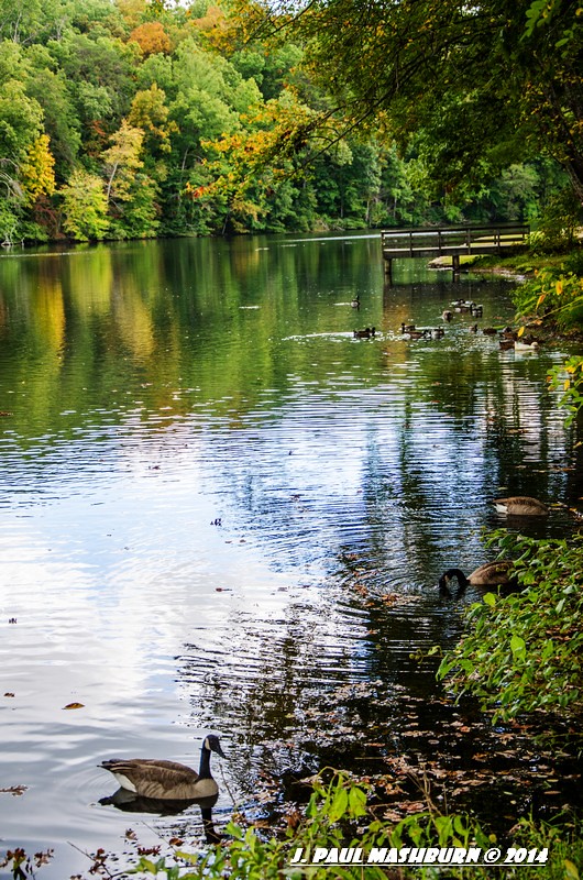
Cumberland Mountain State Park

Bristol Caverns TN
IMG_2893 copy.jpg
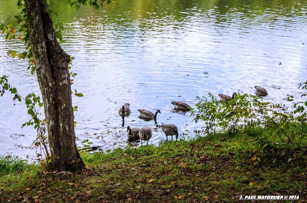
Byrd Lake

Sequatchie Creek

Piney River, Piney River Management Area, Cumberland Trail State Scenic Trail, Rhea County, Tennessee 1
Black mountain
Byrd Lake
Piney Creek 13

Piney Creek 19

Sunset: Take Two

Sunset on the Lake
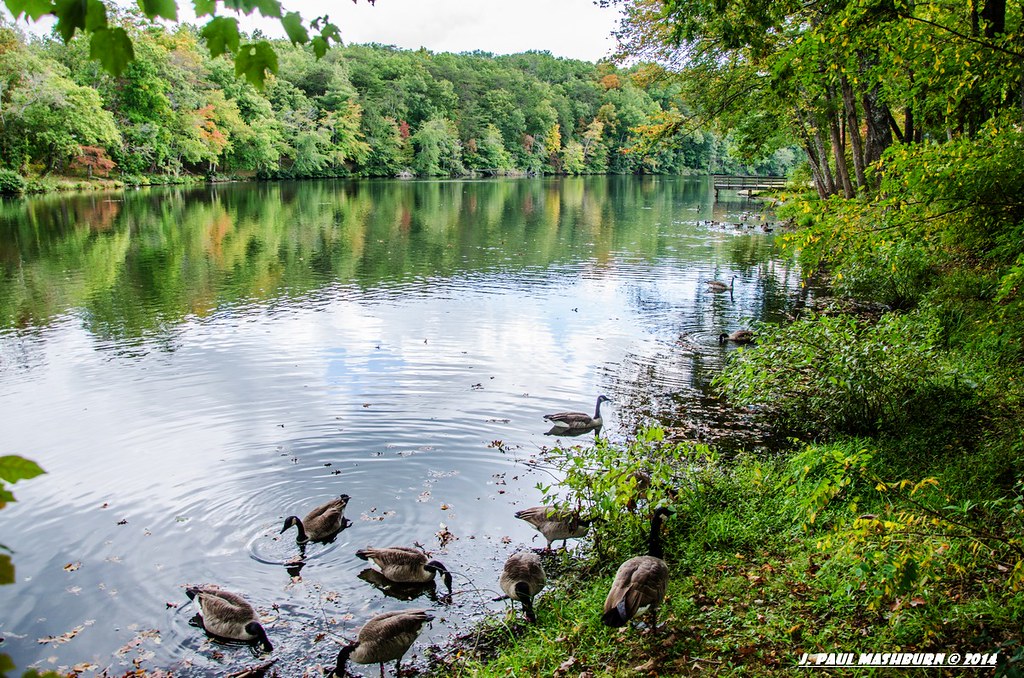
Byrd Lake
Topographic Map of Browns Gap Rd, Crossville, TN, USA
Find elevation by address:

Places near Browns Gap Rd, Crossville, TN, USA:
299 S Summerhaven Dr
88 Kelsie Ln
13807 Upper East Valley Rd
4312 Lowes Gap Rd
133 Basses Creek Ln
Melvine
Dunbar Road
68 Dorr Rd
Maple Street
Shady Oaks Drive
49 Big Ridge Dr
Big Ridge Road
690 Chestnut Ridge Rd
697 Highland Rd
2822 Shut In Gap Rd
10961 Tn-68
Alloway
Old Grandview Hwy, Grandview, TN, USA
7247 Wassom Memorial Hwy
WATTS BAR DAM, TN, USA
Recent Searches:
- Elevation of Laurel Rd, Townsend, TN, USA
- Elevation of 3 Nestling Wood Dr, Long Valley, NJ, USA
- Elevation of Ilungu, Tanzania
- Elevation of Yellow Springs Road, Yellow Springs Rd, Chester Springs, PA, USA
- Elevation of Rēzekne Municipality, Latvia
- Elevation of Plikpūrmaļi, Vērēmi Parish, Rēzekne Municipality, LV-, Latvia
- Elevation of 2 Henschke Ct, Caboolture QLD, Australia
- Elevation of Redondo Ave, Long Beach, CA, USA
- Elevation of Sadovaya Ulitsa, 20, Rezh, Sverdlovskaya oblast', Russia
- Elevation of Ulitsa Kalinina, 79, Rezh, Sverdlovskaya oblast', Russia