Elevation of Melvine, TN, USA
Location: United States > Tennessee > Bledsoe County > Pikeville >
Longitude: -85.0588
Latitude: 35.732357
Elevation: -10000m / -32808feet
Barometric Pressure: 295KPa
Elevation Map:
Satellite Map:
Related Photos:

20171028-IMGP0793

Balcony View
Stinging Fork Falls, Stinging Fork, Stinging Fork Falls State Natural Area, Walden Ridge, Rhea County, Tennessee 1

Sequatchie valley

Sequatchie Creek

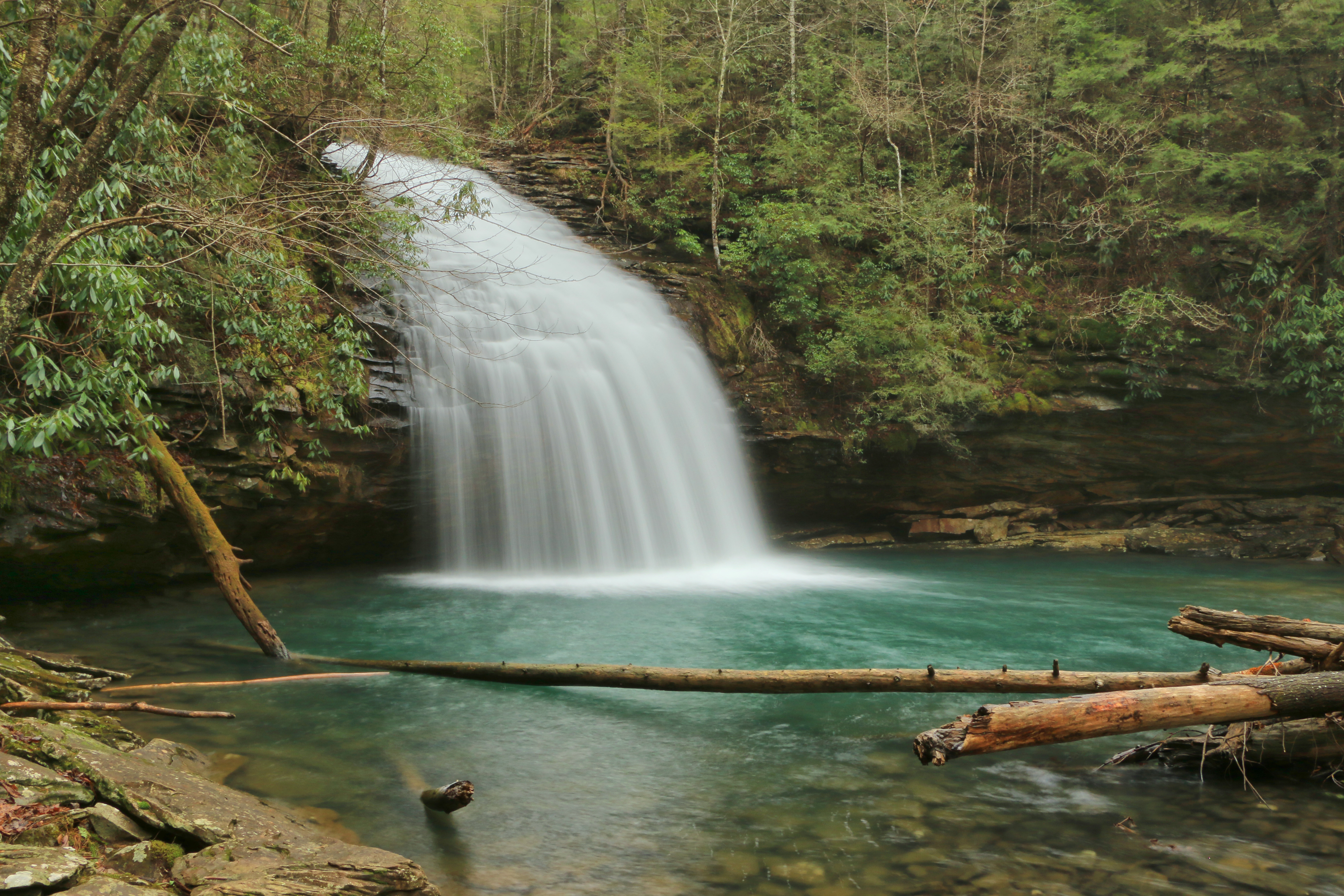
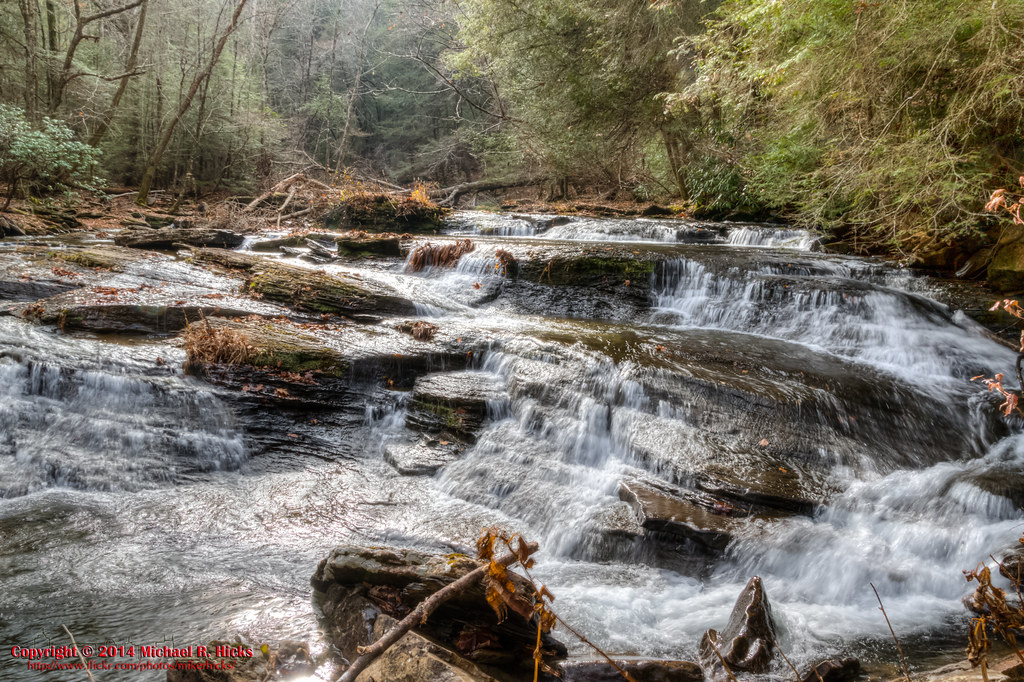
Stinging Fork Falls

Comb Graves

Sunset: Take Two

2011-03-12 13.23.45
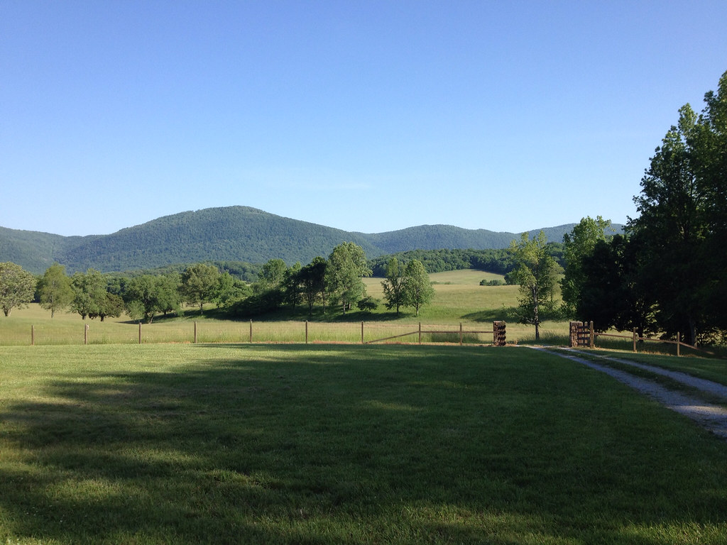
Down on the Farm

Photo by Jenna
Hemlock Falls

Deep Pool Bridge
Spider Den Bluff

Spider Den Bluff

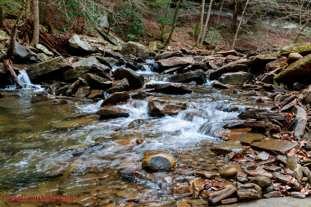
Rockhouse Branch Spur

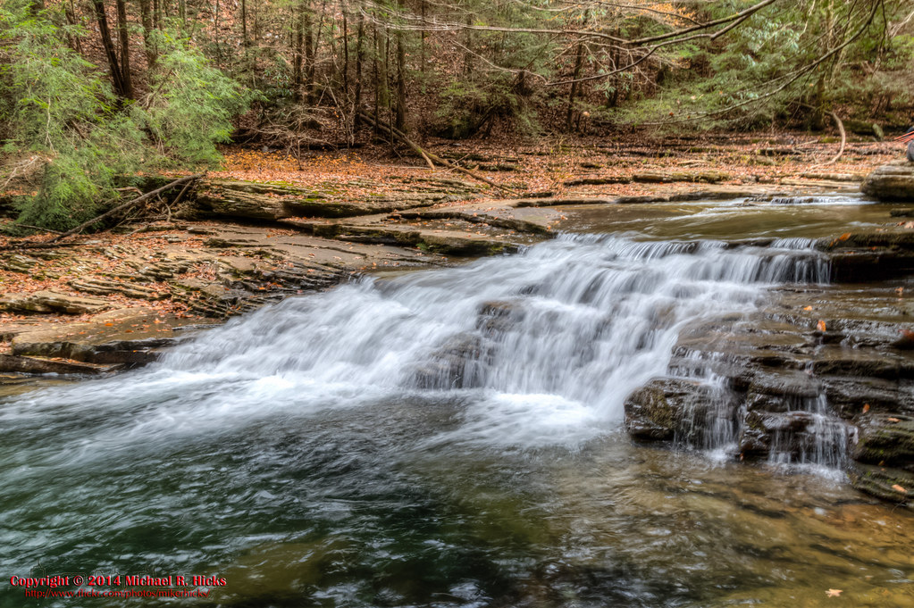
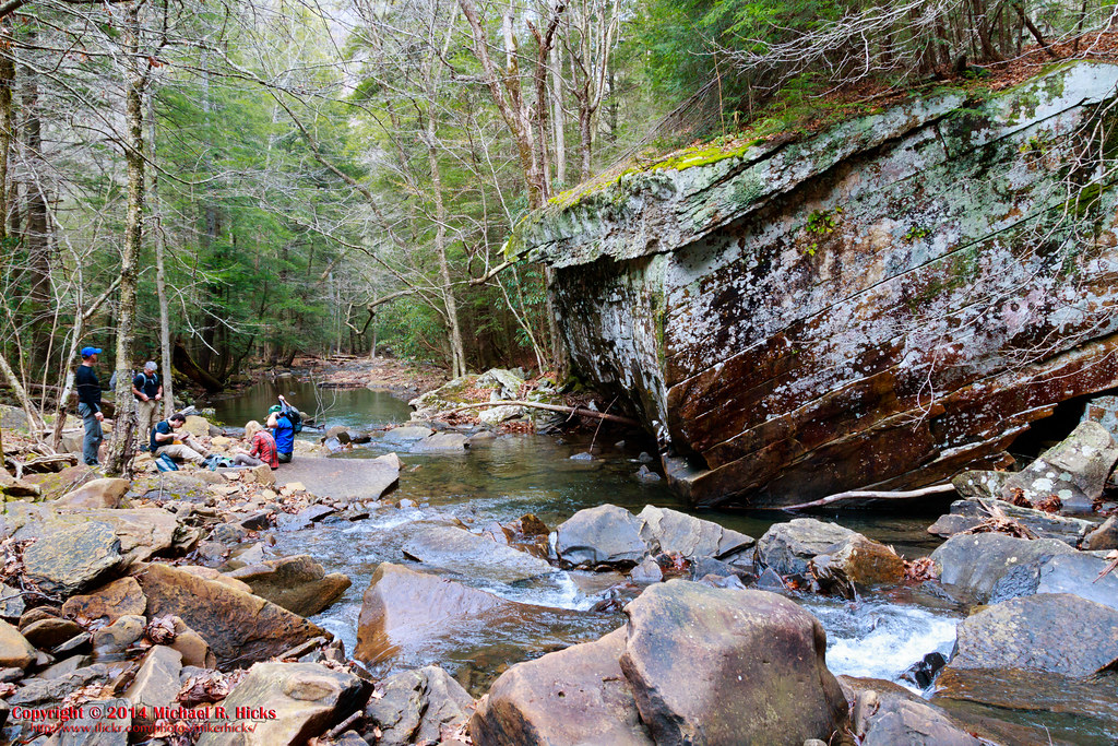
Deep Pool
Lower Piney River Section of the Cumberland Trail
Spider Den Bluff

Lower Piney River Section of the Cumberland Trail

Deep Pool Bridge

Lower Piney River Section of the Cumberland Trail
Topographic Map of Melvine, TN, USA
Find elevation by address:

Places near Melvine, TN, USA:
4312 Lowes Gap Rd
13807 Upper East Valley Rd
49 Big Ridge Dr
Big Ridge Road
Shady Oaks Drive
690 Chestnut Ridge Rd
630 Browns Gap Rd
88 Kelsie Ln
68 Dorr Rd
Maple Street
299 S Summerhaven Dr
133 Basses Creek Ln
Dunbar Road
2822 Shut In Gap Rd
697 Highland Rd
631 Wayne Smith Rd
WATTS BAR DAM, TN, USA
7247 Wassom Memorial Hwy
10961 Tn-68
Alloway
Recent Searches:
- Elevation of Holloway Ave, San Francisco, CA, USA
- Elevation of Norfolk, NY, USA
- Elevation of - San Marcos Pass Rd, Santa Barbara, CA, USA
- Elevation of th Pl SE, Issaquah, WA, USA
- Elevation of 82- D Rd, Captain Cook, HI, USA
- Elevation of Harlow CM20 2PR, UK
- Elevation of Shenyang Agricultural University, Dong Ling Lu, Shen He Qu, Shen Yang Shi, Liao Ning Sheng, China
- Elevation of Alpha Dr, Melbourne, FL, USA
- Elevation of Hiroshima University, 1-chōme-3-2 Kagamiyama, Higashihiroshima, Hiroshima -, Japan
- Elevation of Bernina Dr, Lake Arrowhead, CA, USA