Elevation of 68 Dorr Rd, Spring City, TN, USA
Location: United States > Tennessee > Rhea County > Spring City >
Longitude: -84.986155
Latitude: 35.721003
Elevation: 624m / 2047feet
Barometric Pressure: 94KPa
Elevation Map:
Satellite Map:
Related Photos:

Peek-a-boo RCB - Grassy Cove, TN.

20171028-IMGP0793

Norfolk Southern Engine 8724
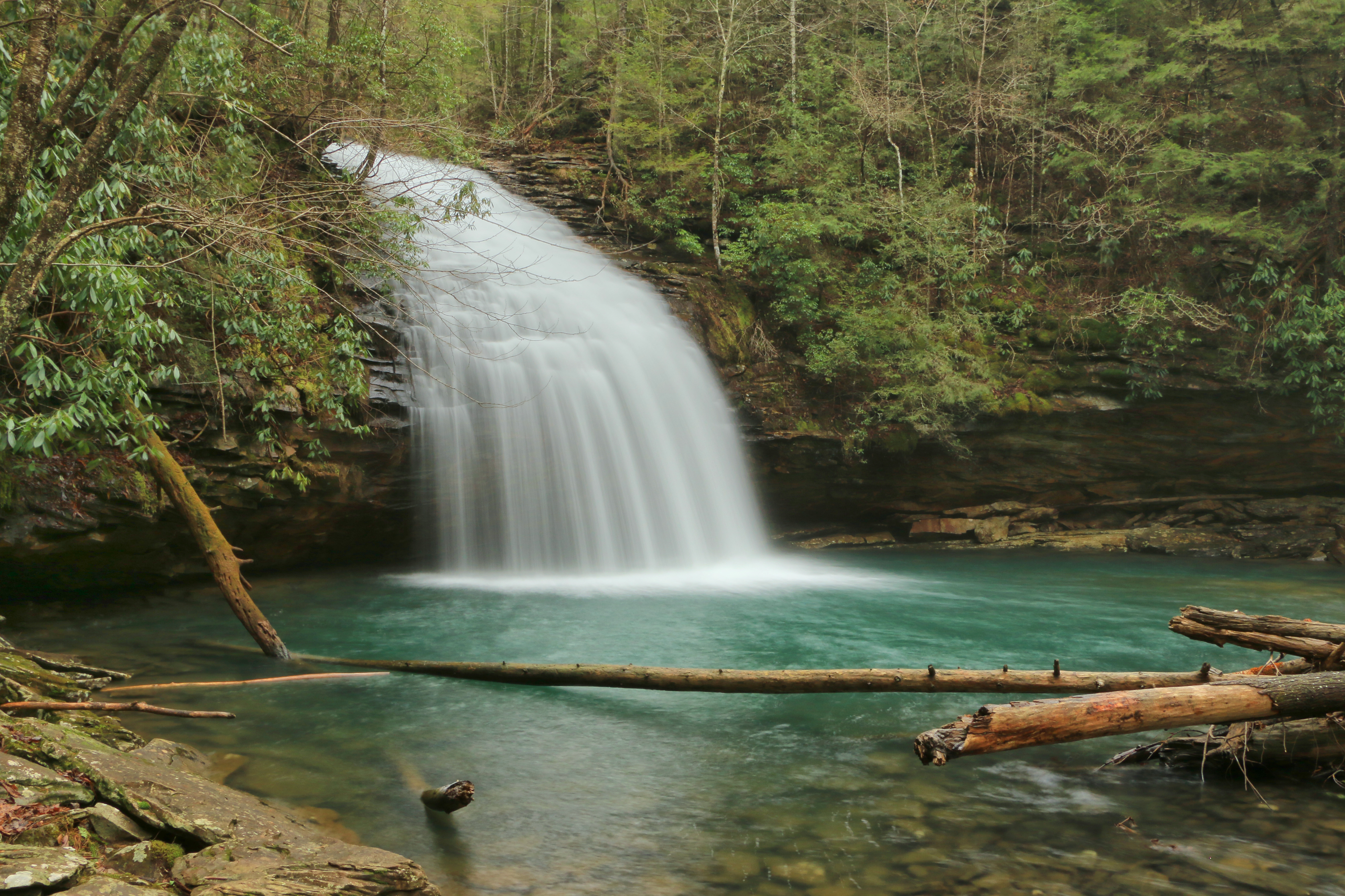
Stinging Fork Falls, Stinging Fork, Stinging Fork Falls State Natural Area, Walden Ridge, Rhea County, Tennessee 1
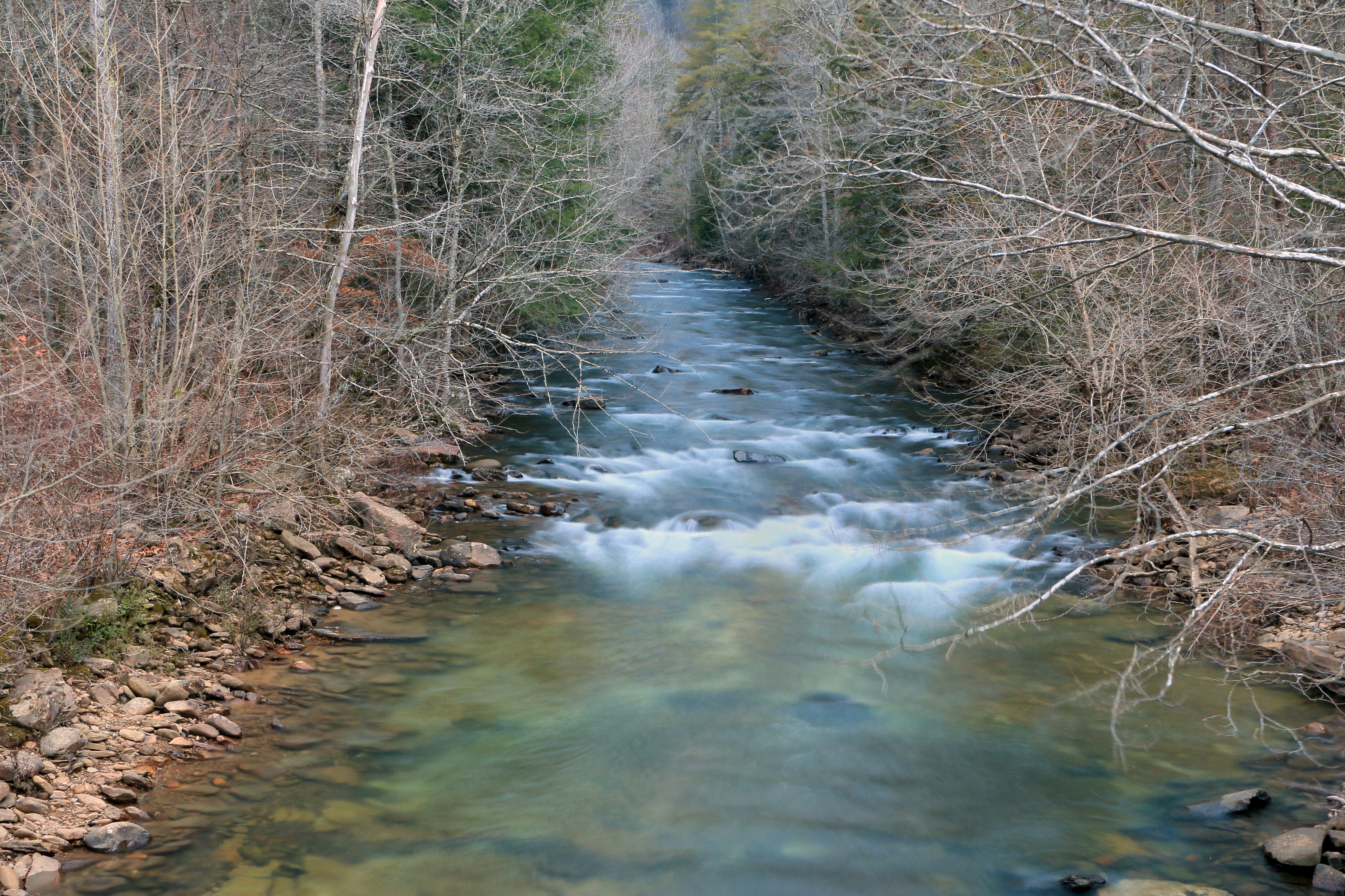
Piney River, Piney River Management Area, Cumberland Trail State Scenic Trail, Rhea County, Tennessee 1

Stinging Fork Falls

Comb Graves
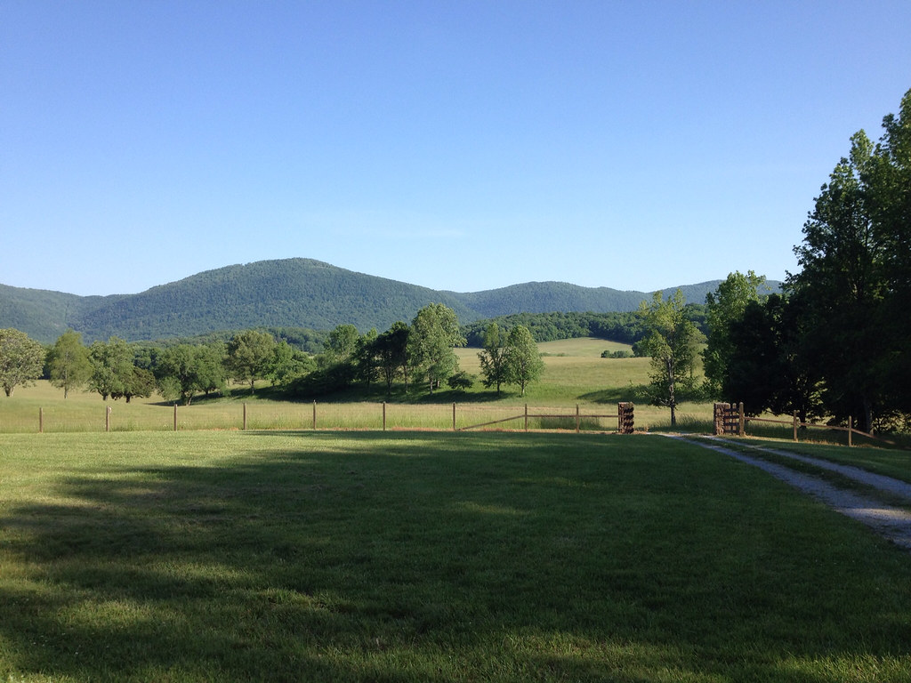
Down on the Farm

Sunset on Watts Bar Lake

Hemlock Falls

Sequatchie valley

Sequatchie Creek

Peace of the Forest

Piney Creek 13

Piney Creek 19

Beyond the Blue

Piney Creek 17

NS 8099 @ Evensville, TN

2011-03-12 13.23.45

Piney Creek 5

Piney Creek 9

Piney Creek 29

House @ Watts Bar - 30
Topographic Map of 68 Dorr Rd, Spring City, TN, USA
Find elevation by address:

Places near 68 Dorr Rd, Spring City, TN, USA:
Maple Street
690 Chestnut Ridge Rd
Shady Oaks Drive
13807 Upper East Valley Rd
4312 Lowes Gap Rd
Big Ridge Road
49 Big Ridge Dr
Melvine
630 Browns Gap Rd
2822 Shut In Gap Rd
631 Wayne Smith Rd
WATTS BAR DAM, TN, USA
299 S Summerhaven Dr
88 Kelsie Ln
303 W Rhea Ave
7247 Wassom Memorial Hwy
Spring City
697 Highland Rd
528 Walt Reed Rd
991 Burdette Rd
Recent Searches:
- Elevation of Kreuzburger Weg 13, Düsseldorf, Germany
- Elevation of Gateway Blvd SE, Canton, OH, USA
- Elevation of East W.T. Harris Boulevard, E W.T. Harris Blvd, Charlotte, NC, USA
- Elevation of West Sugar Creek, Charlotte, NC, USA
- Elevation of Wayland, NY, USA
- Elevation of Steadfast Ct, Daphne, AL, USA
- Elevation of Lagasgasan, X+CQH, Tiaong, Quezon, Philippines
- Elevation of Rojo Ct, Atascadero, CA, USA
- Elevation of Flagstaff Drive, Flagstaff Dr, North Carolina, USA
- Elevation of Avery Ln, Lakeland, FL, USA