Elevation of Brook Rd, Barre, VT, USA
Location: United States > Vermont > Washington County > Barre >
Longitude: -72.396759
Latitude: 44.216324
Elevation: 430m / 1411feet
Barometric Pressure: 96KPa
Elevation Map:
Satellite Map:
Related Photos:

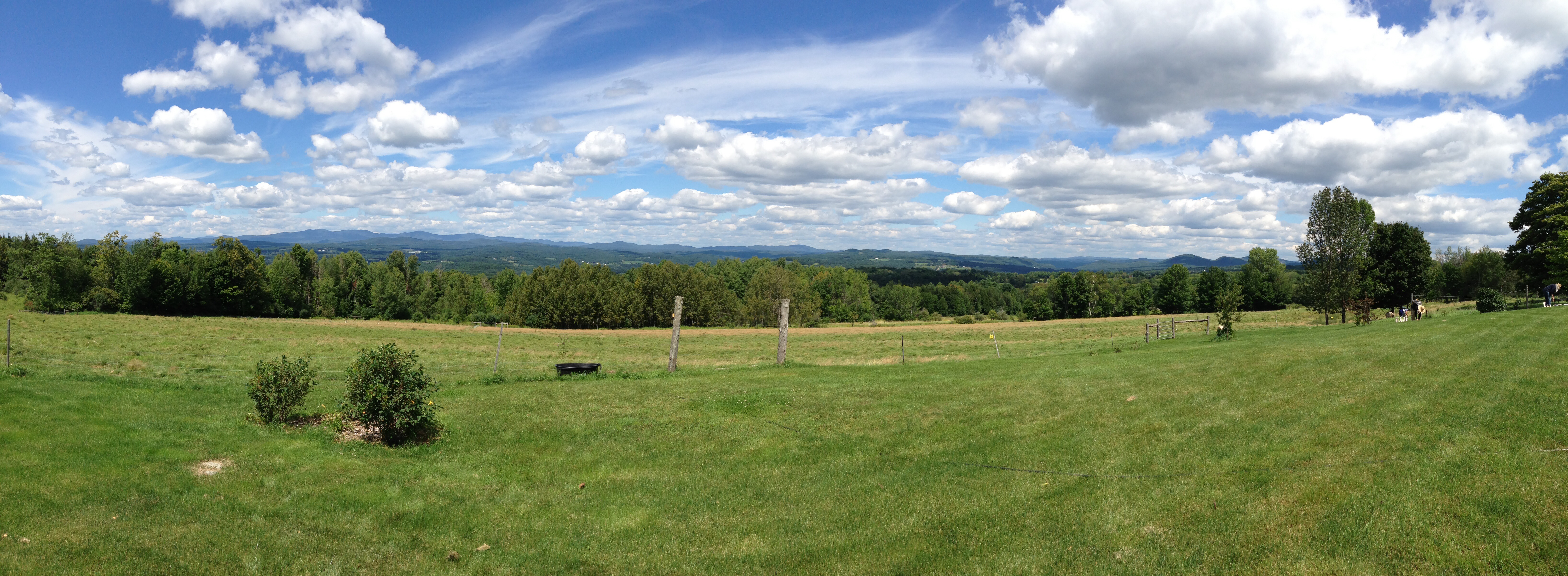
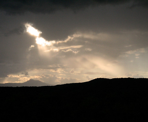
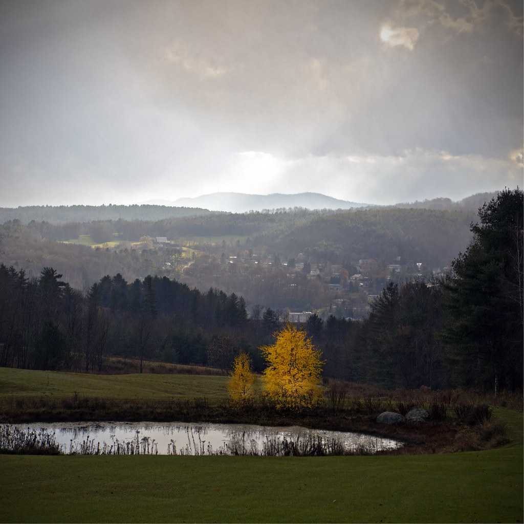
Monrning view with clouds
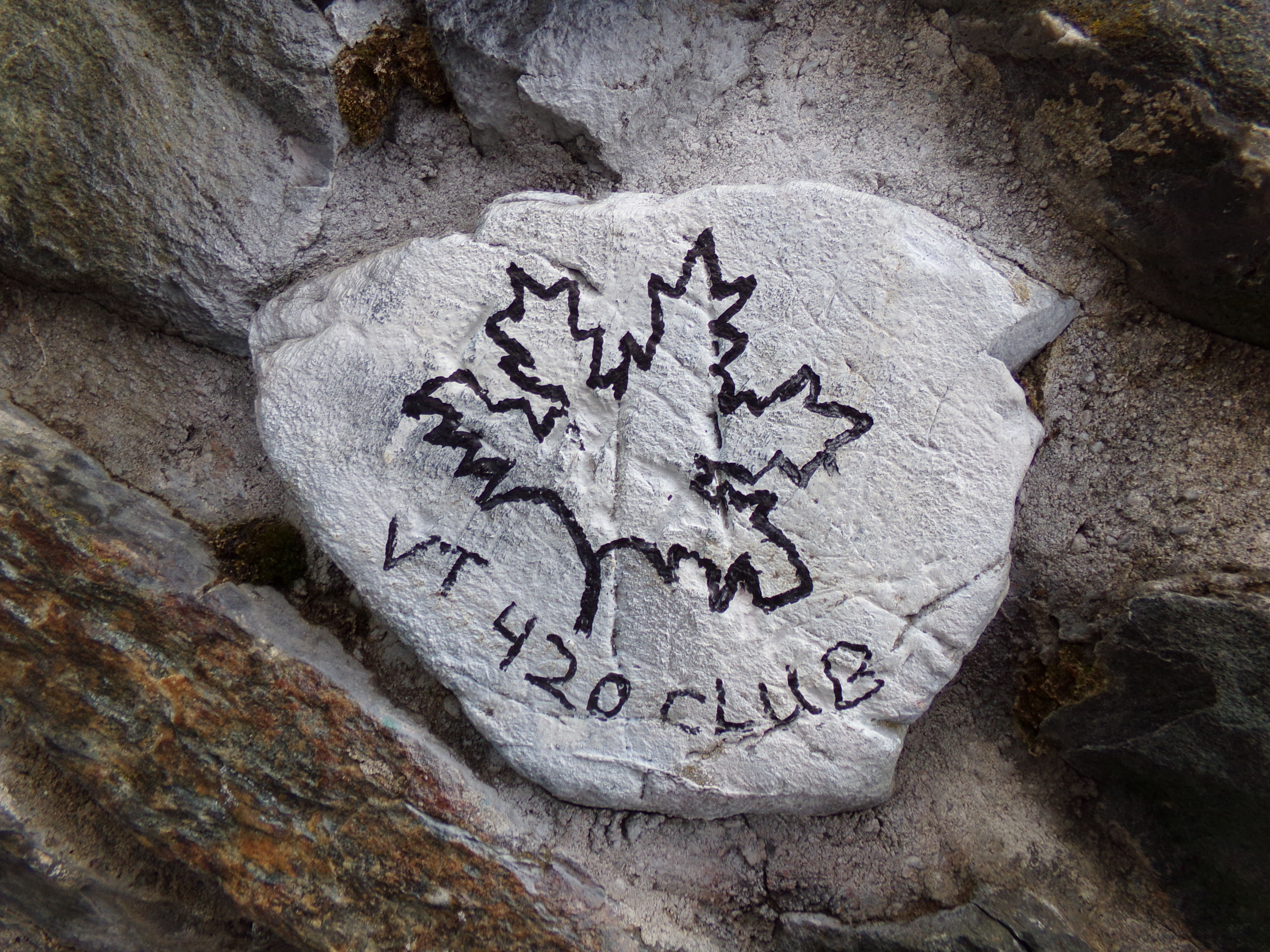
VT 420 Club Rock

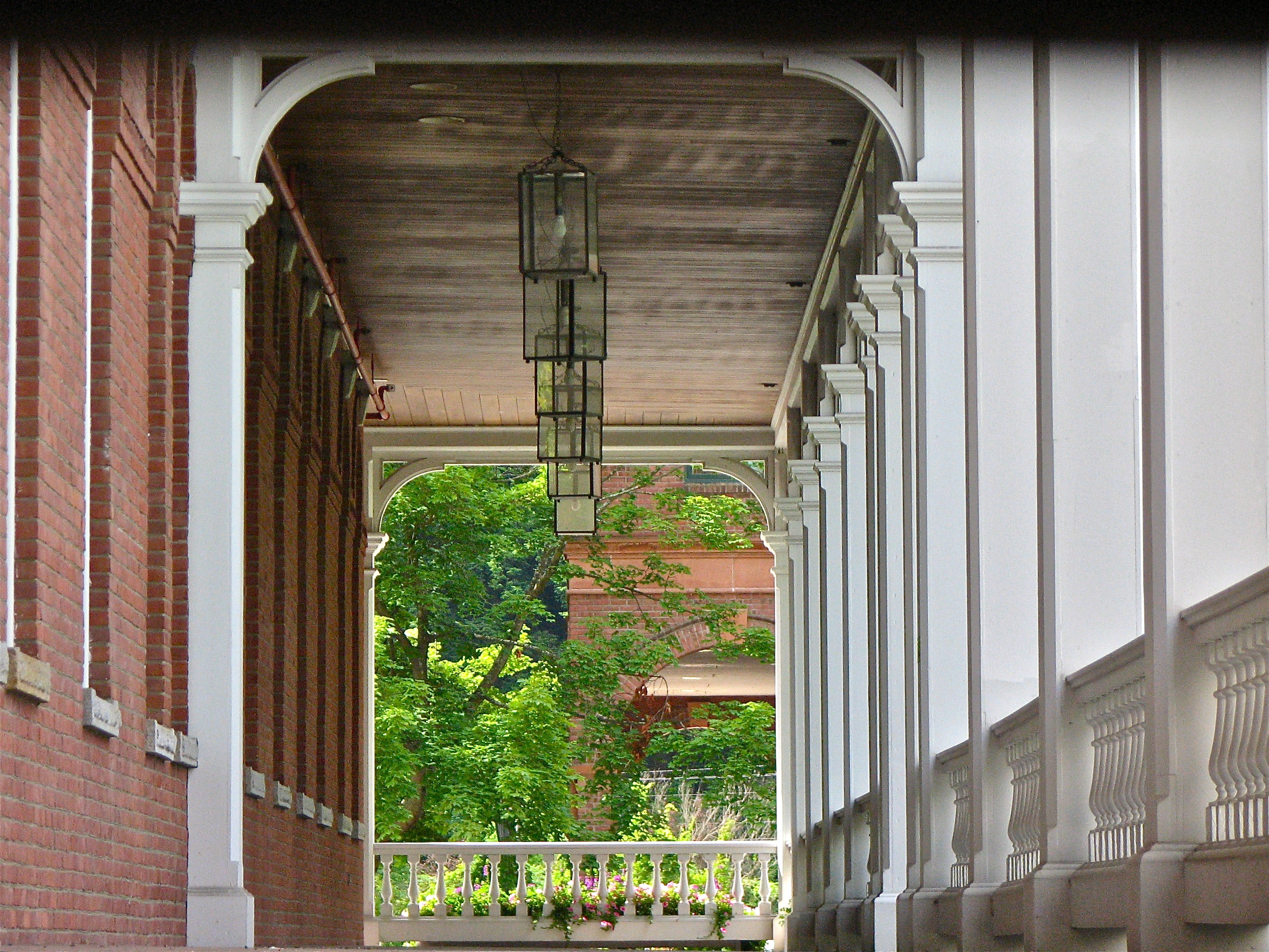
Socialist Labor Party Hall (1900) – southwest view

Old Barre Vermont Mural
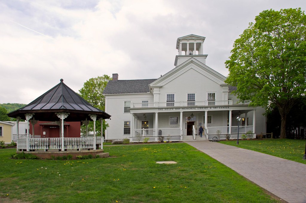
Stowe Free Library
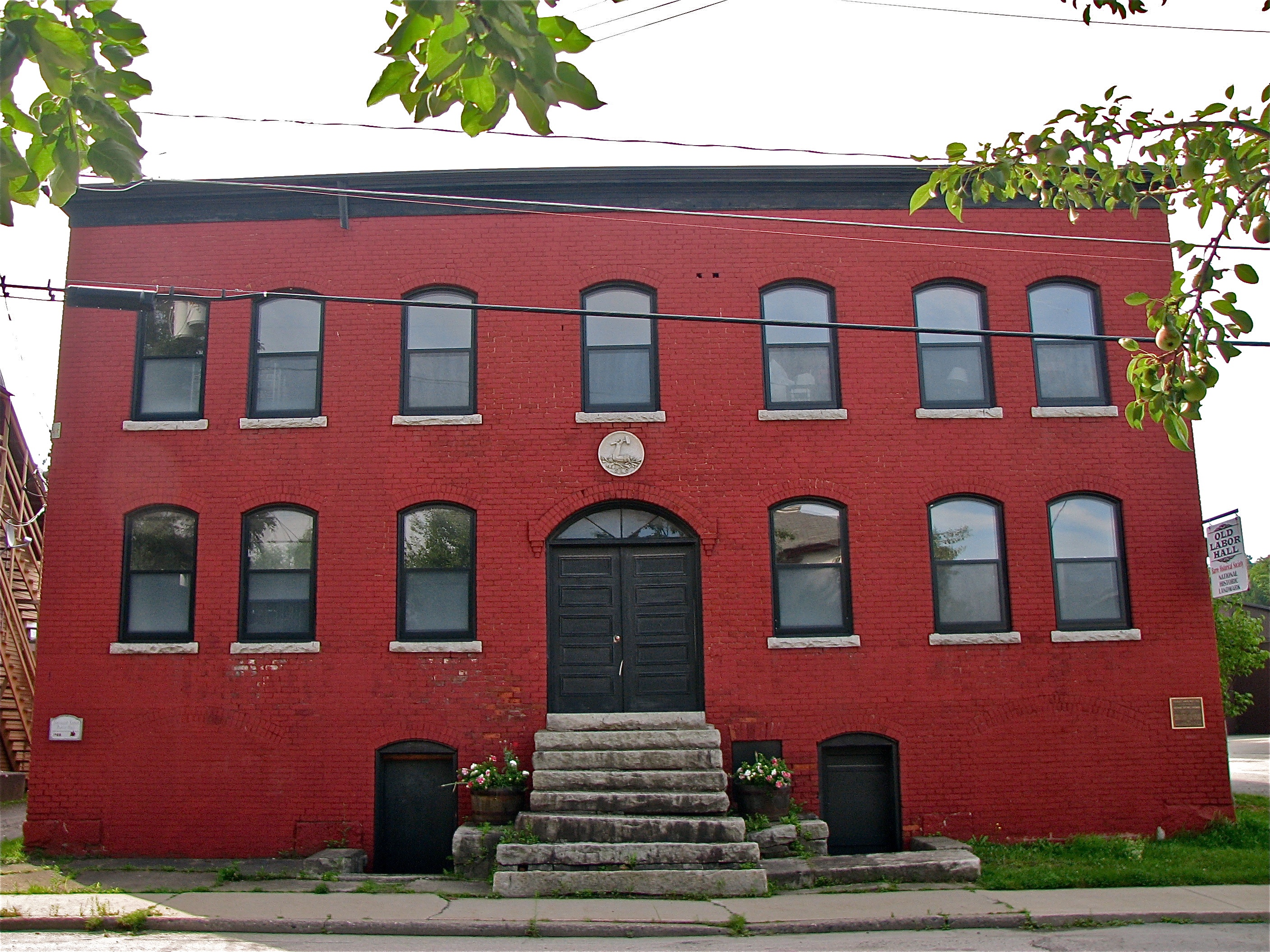
Socialist Labor Party Hall (1900) – front view
Fire Tower View (3)

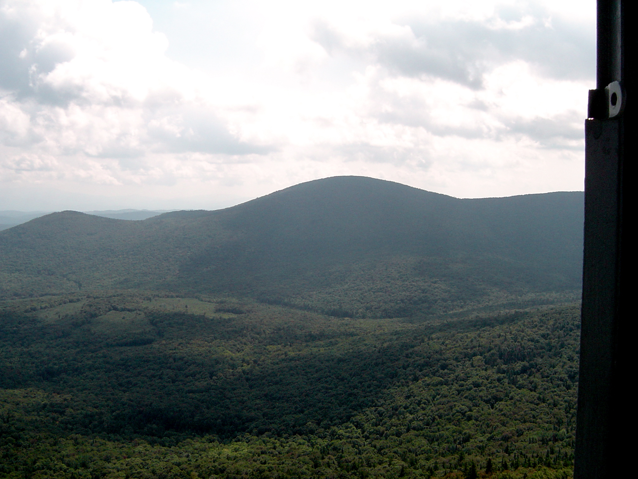
Spruce Mountain, Vermont
View from Comstock B&B
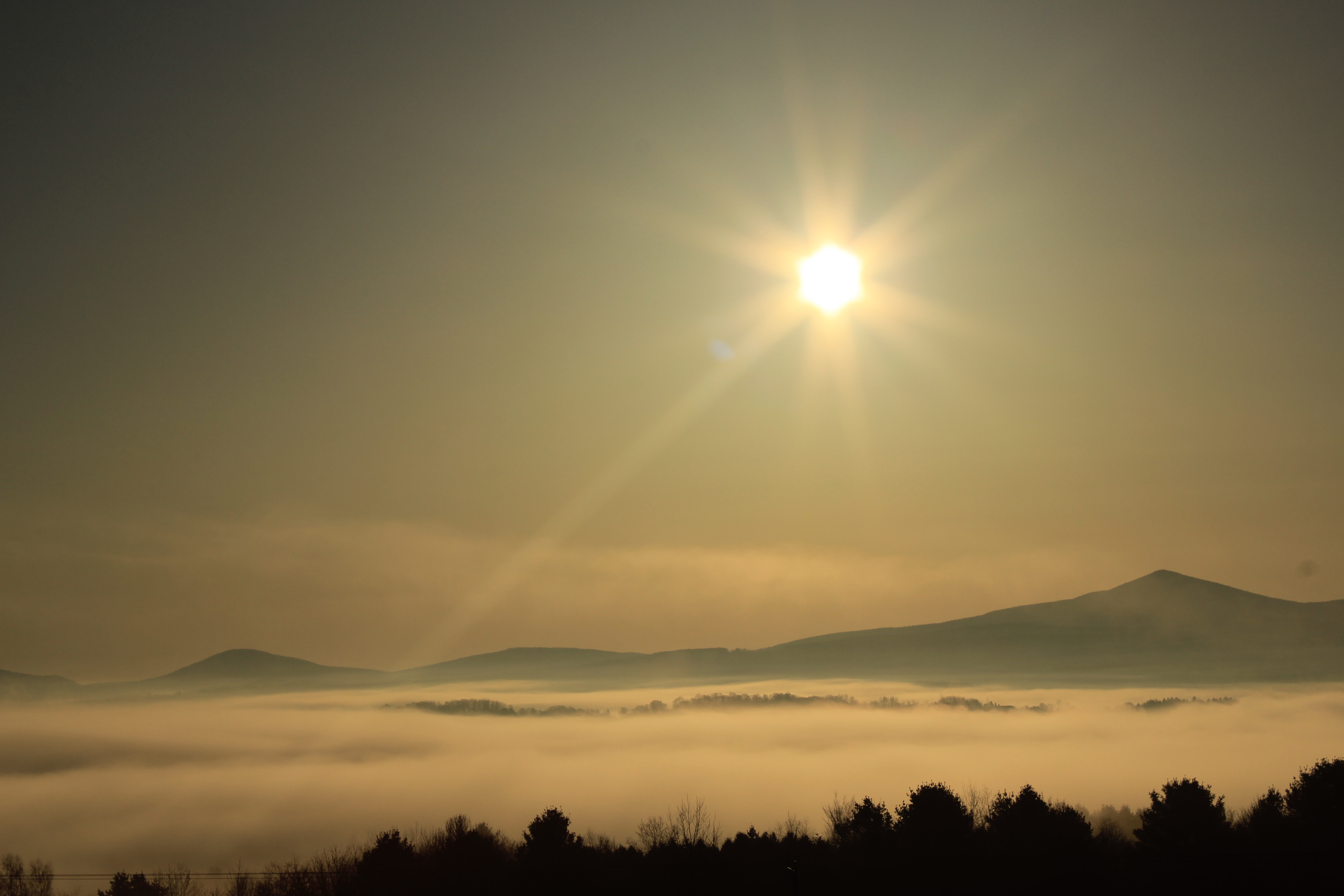
sun rise

View from the Fire Tower

sun rise
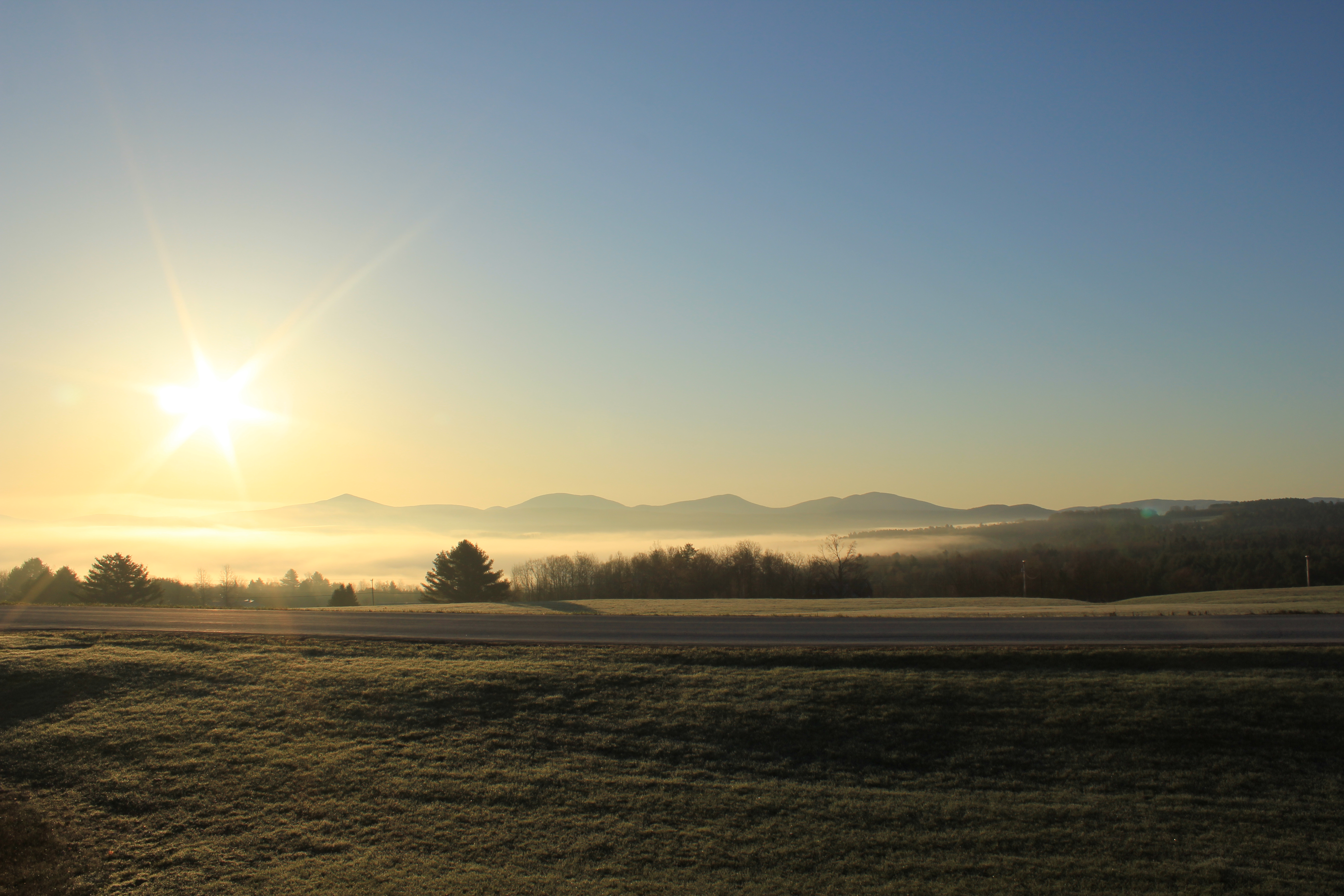
sun rise
new england trip133

Fire Tower View (2)
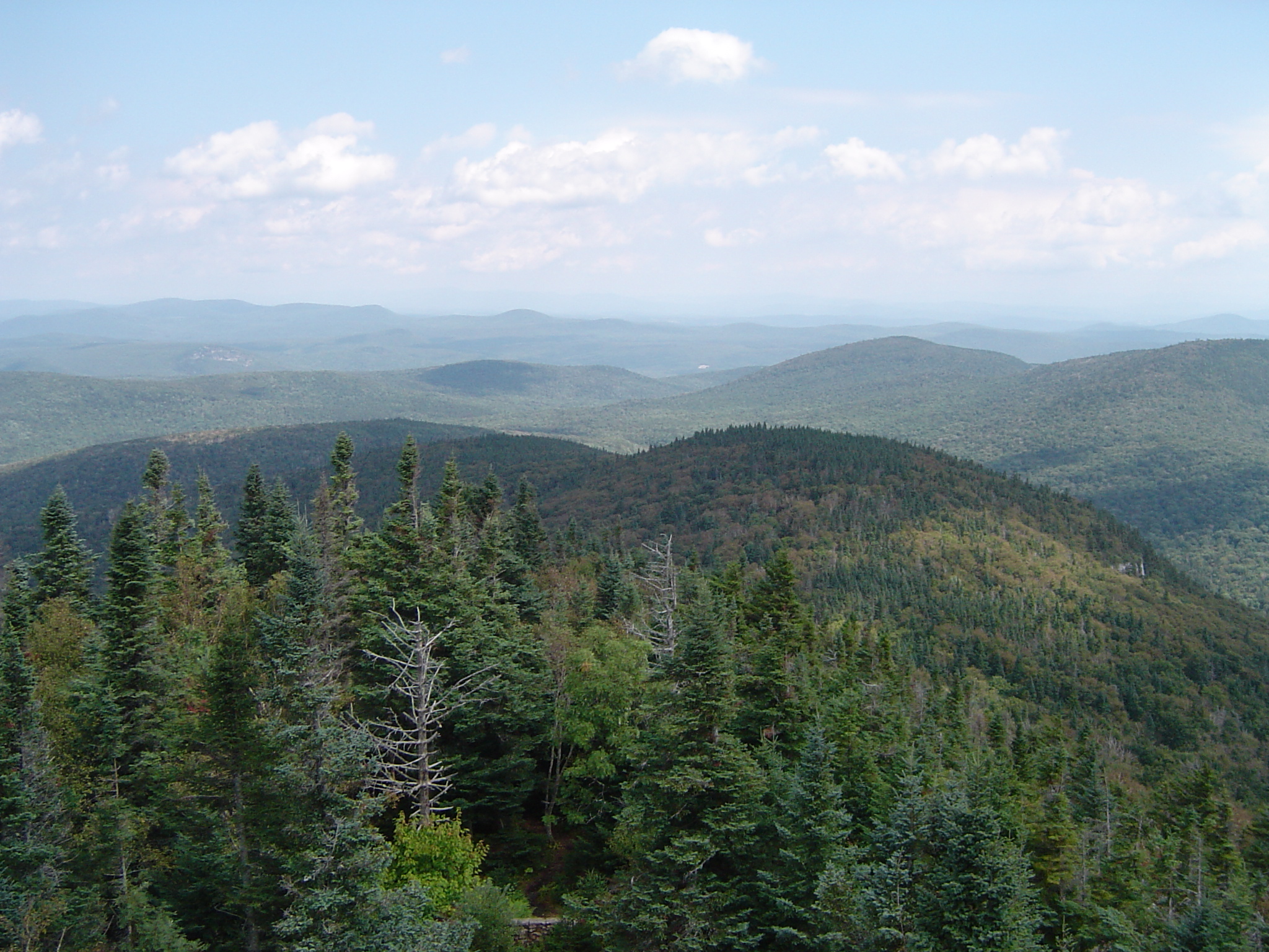
Fire Tower View (1)
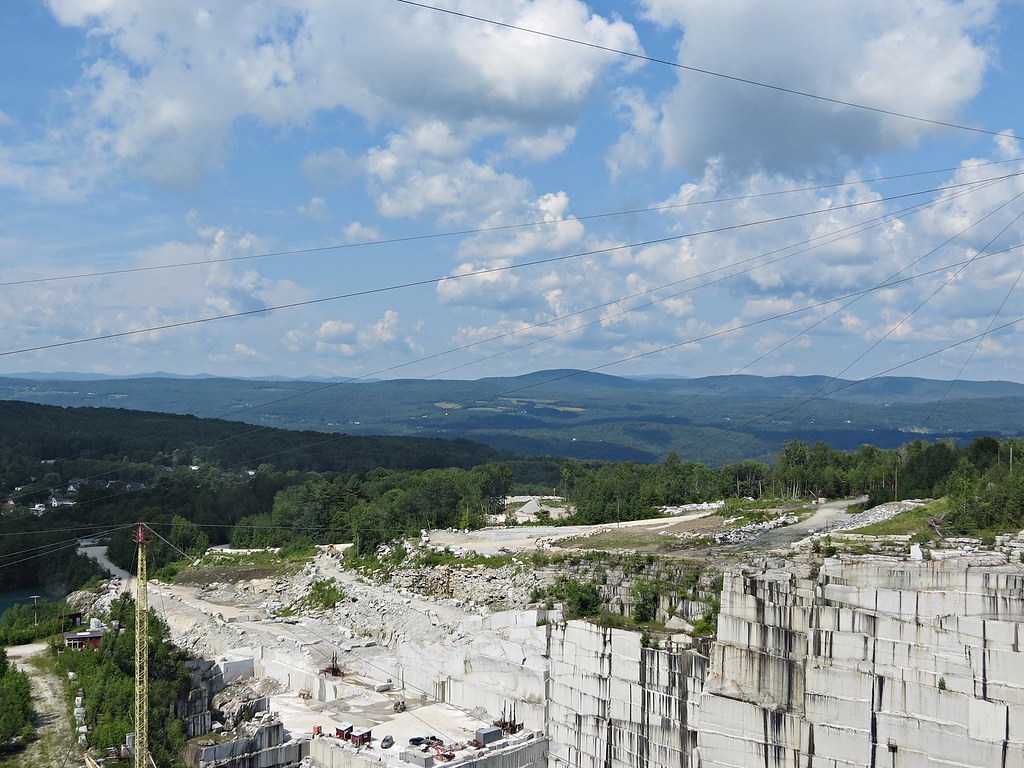
Rock of Ages quarry, Vermont
mouse-eye • view
breaking through
Before the First Snow

The view from Hubbard Park tower
Falls Bridge 3
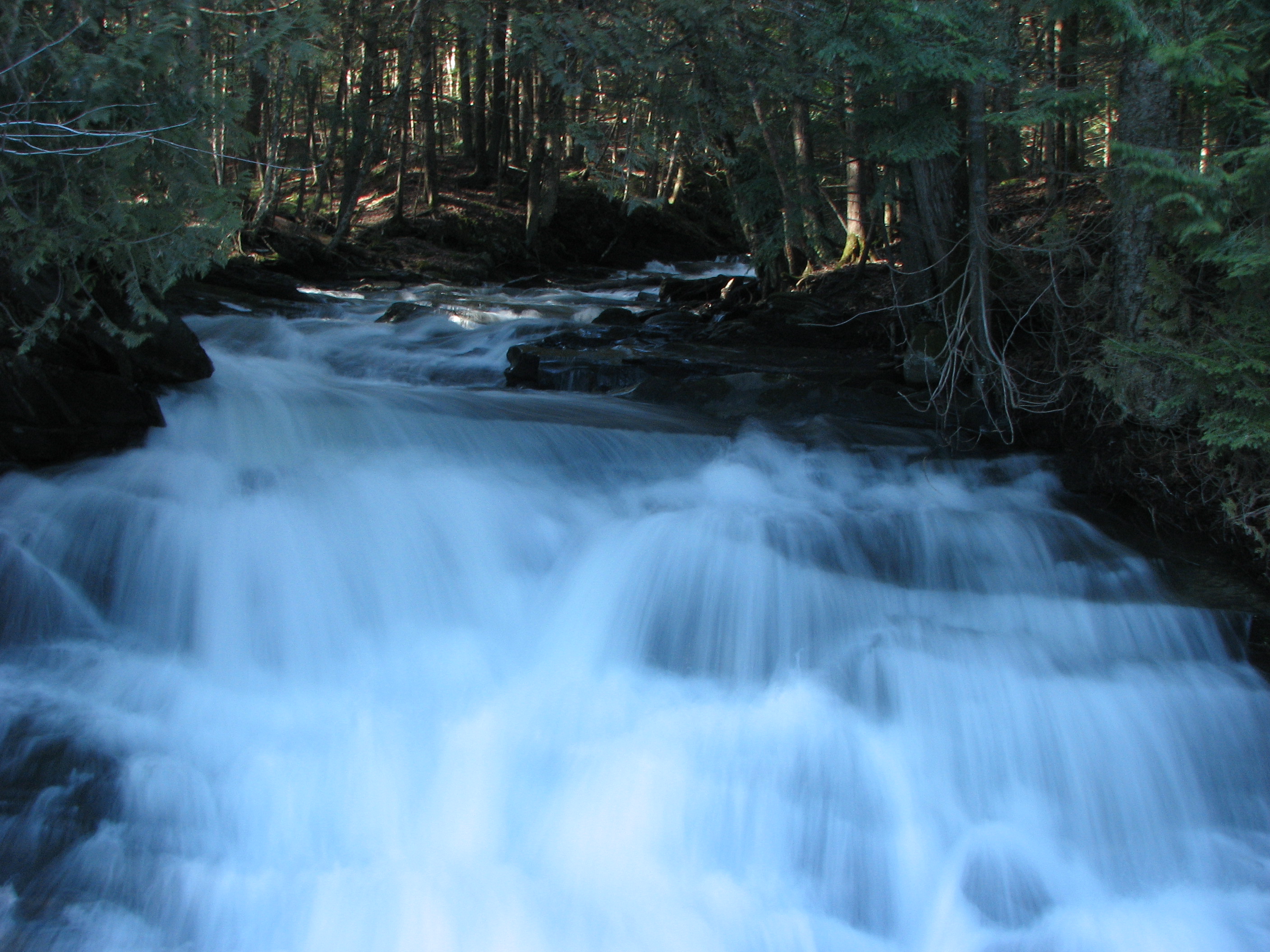
Little Unnamed Waterfall in Vermont
In the Cabin

Camels Hump Sunset
Falls Bridge 1

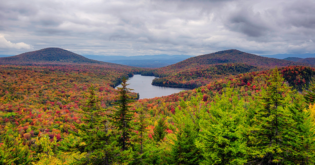
Lake Groton, Vermont.
vt_hdr_027.jpg

Kettle Pond

Groton State Forest, Vermont

Lake Groton
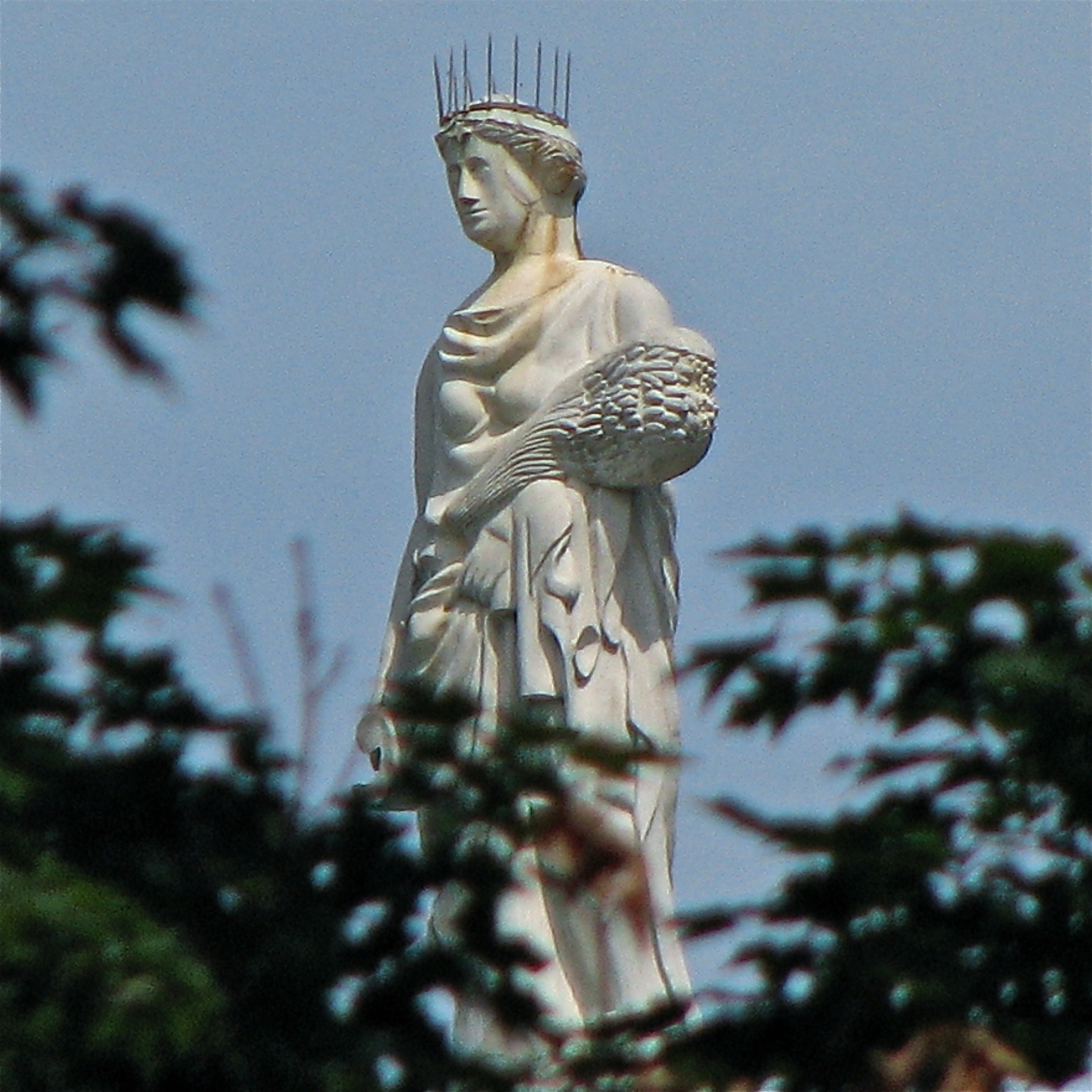
ceres • goddess.of.agriculture
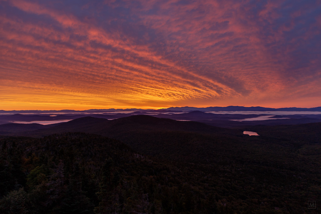
Sunrise, Mt. Washington in the Distance
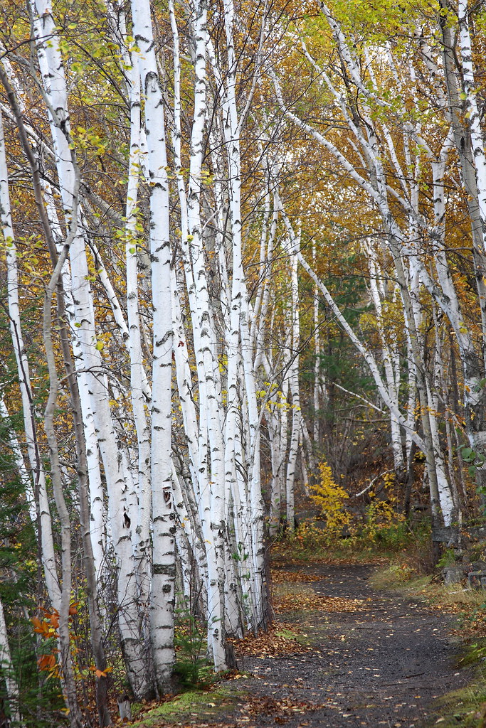
Birch Path

Fritillary Butterfly on Joe Pye Weed
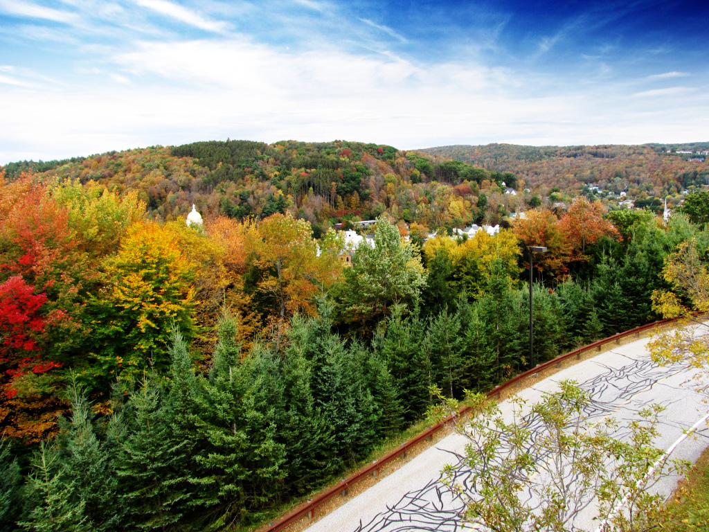
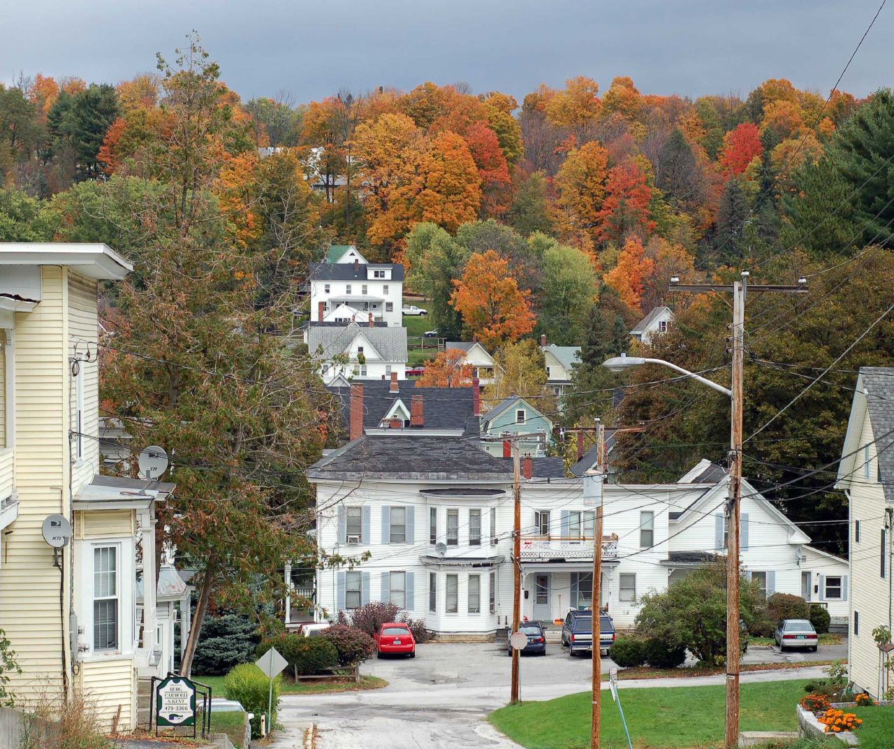
Fall colors

The clouds lift, finally
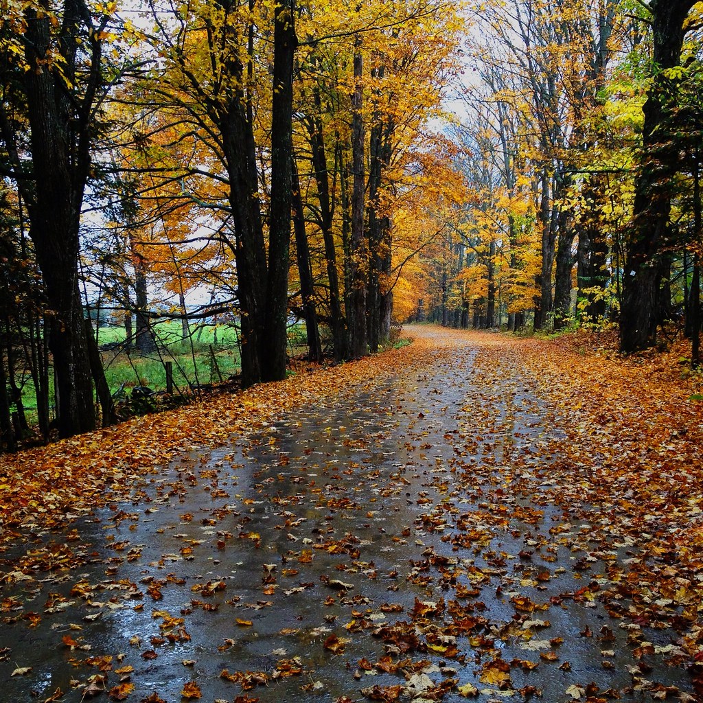
October Evening
Center Rd.

September Foliage

Vermont State Capitol Building
Topographic Map of Brook Rd, Barre, VT, USA
Find elevation by address:

Places near Brook Rd, Barre, VT, USA:
Brook Rd, Barre, VT, USA
849 Reservoir Rd
712 Spruce Mountain Rd
144 George St
Orange
176 Prechtl Rd
176 Prechtl Rd
176 Prechtl Rd
176 Prechtl Rd
128 Provencher Ln
110 Provencher Ln
Riddel Pond
80 Emery Rd
East Orange
Groton
Owl's Head Mountain
Owls Head Mt.
Groton State Forest
Hosmer Brook Road
230 Willey Hill Rd
Recent Searches:
- Elevation of Zu den Ihlowbergen, Althüttendorf, Germany
- Elevation of Badaber, Peshawar, Khyber Pakhtunkhwa, Pakistan
- Elevation of SE Heron Loop, Lincoln City, OR, USA
- Elevation of Slanický ostrov, 01 Námestovo, Slovakia
- Elevation of Spaceport America, Co Rd A, Truth or Consequences, NM, USA
- Elevation of Warwick, RI, USA
- Elevation of Fern Rd, Whitmore, CA, USA
- Elevation of 62 Abbey St, Marshfield, MA, USA
- Elevation of Fernwood, Bradenton, FL, USA
- Elevation of Felindre, Swansea SA5 7LU, UK