Elevation of Spruce Mountain Rd, Plainfield, VT, USA
Location: United States > Vermont > Washington County > Plainfield >
Longitude: -72.382026
Latitude: 44.233315
Elevation: 550m / 1804feet
Barometric Pressure: 95KPa
Elevation Map:
Satellite Map:
Related Photos:

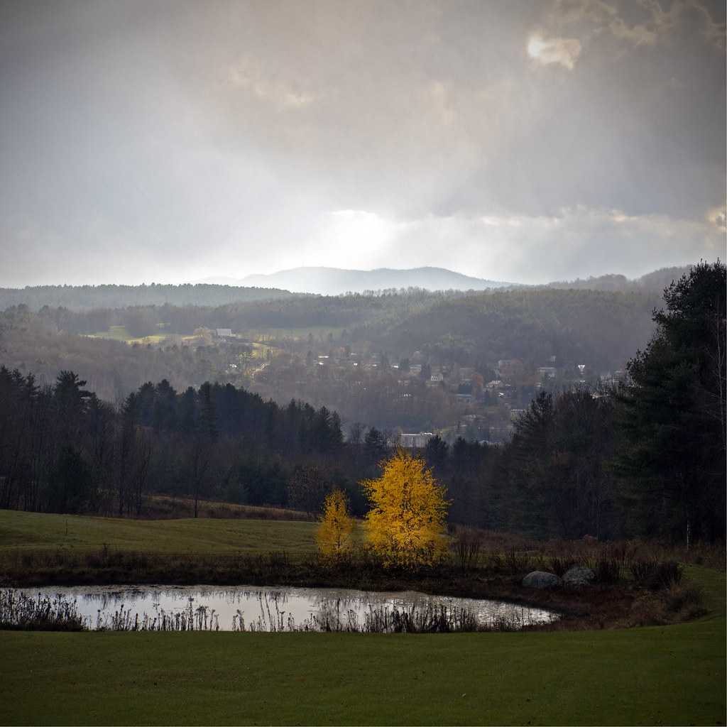
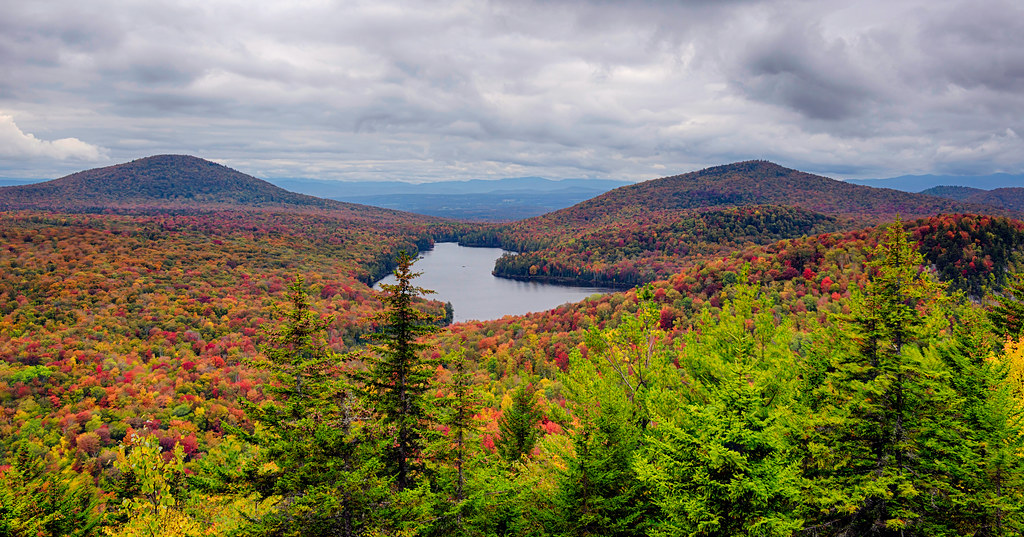
Kettle Pond Autunm
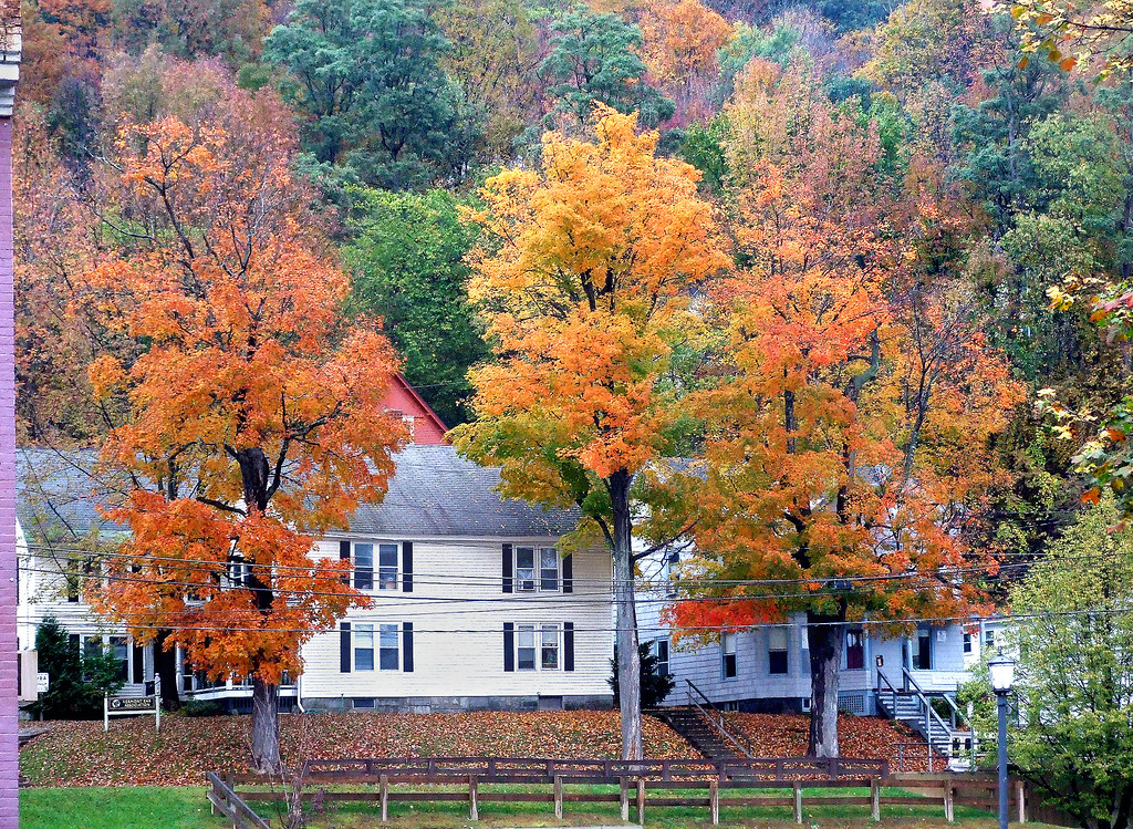
D705 Montpelier Vermont ©

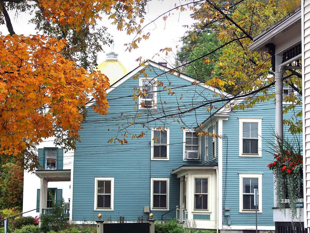
D708 Montpelier Vermont ©

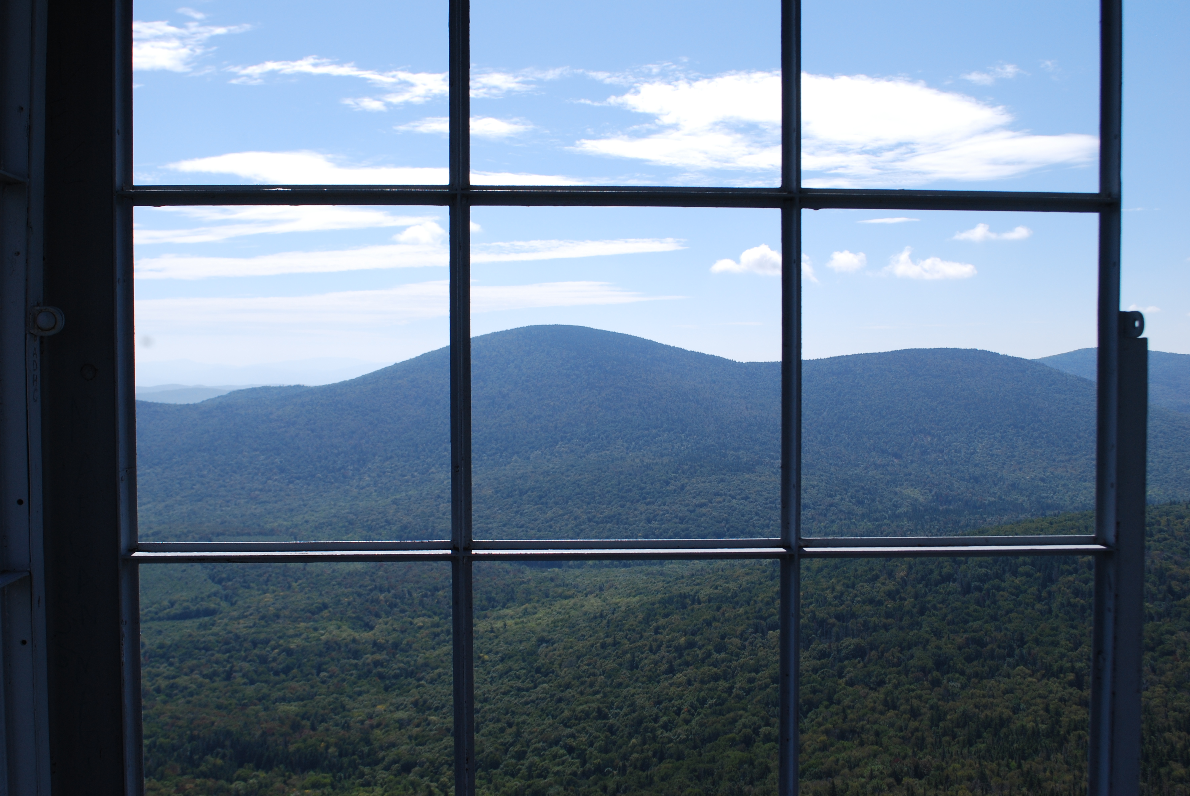
The view from Hubbard Park tower
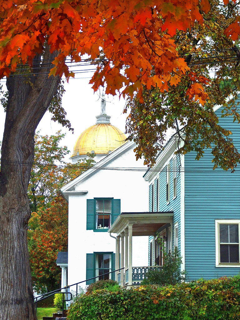
D711 Montpelier Vermont ©
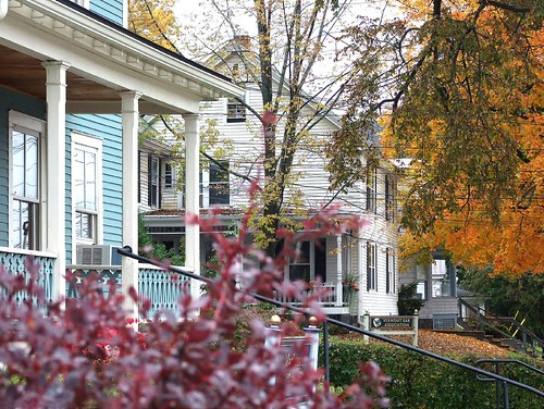
D710 Montpelier Vermont ©
D706 Montpelier capital of Vermont ©
D712 Montpelier Vermont ©
D709 Montpelier Vermont ©
mouse-eye • view
A snapshot of America
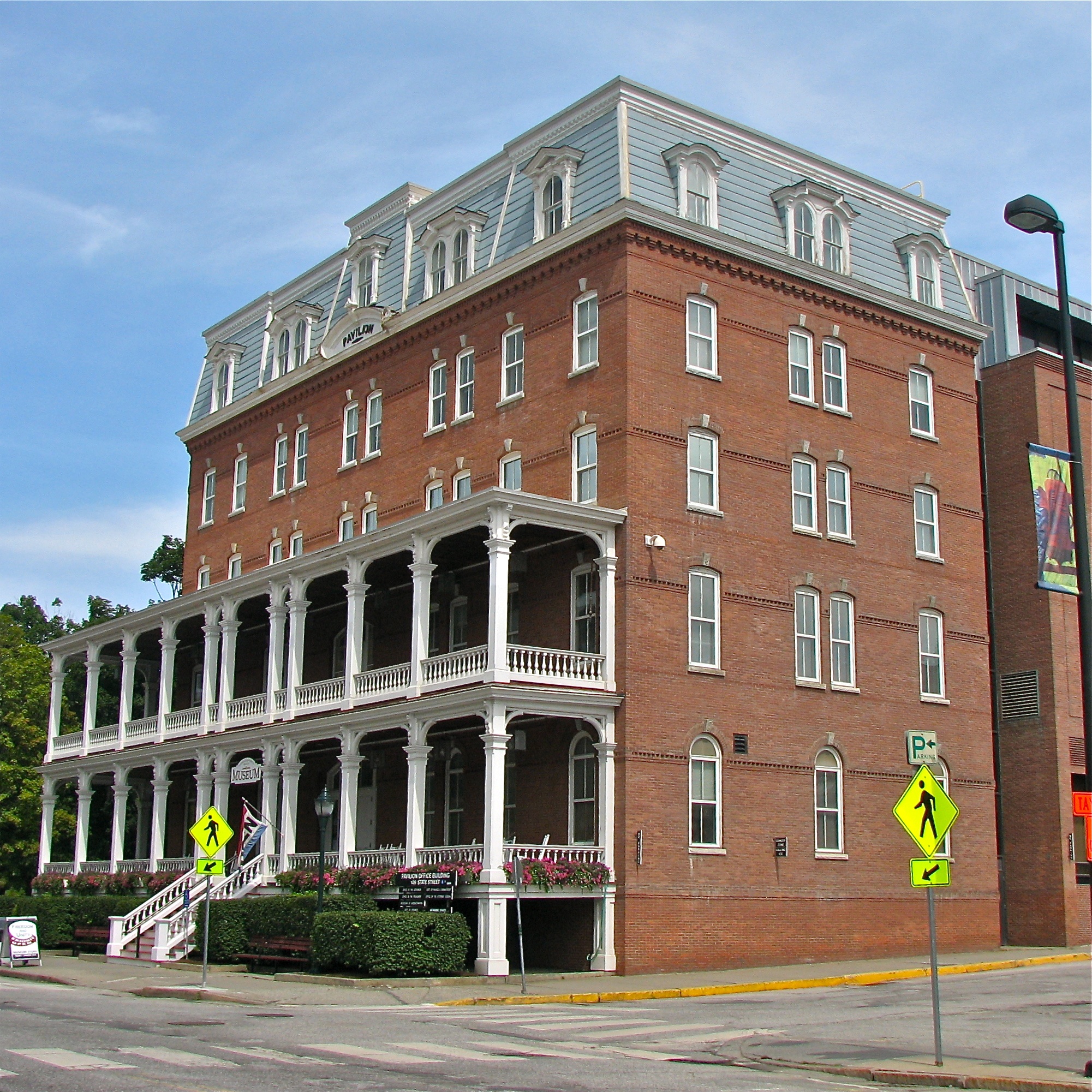
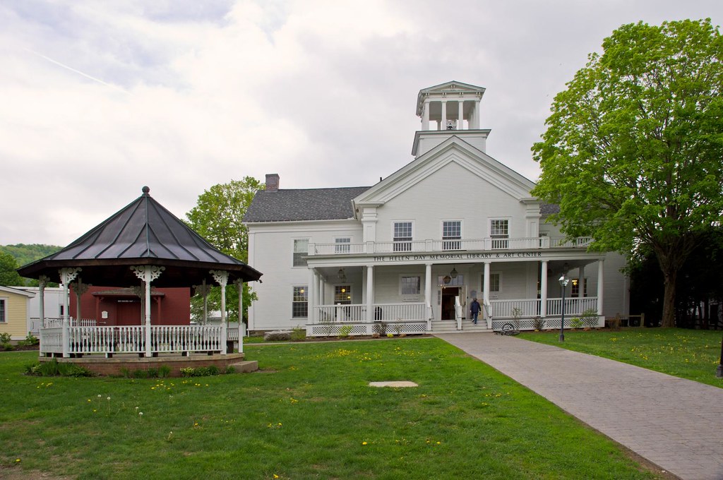
Pavilion Office Building
Before the First Snow

Morning sun rise view

Monrning view with clouds
Secret ledge
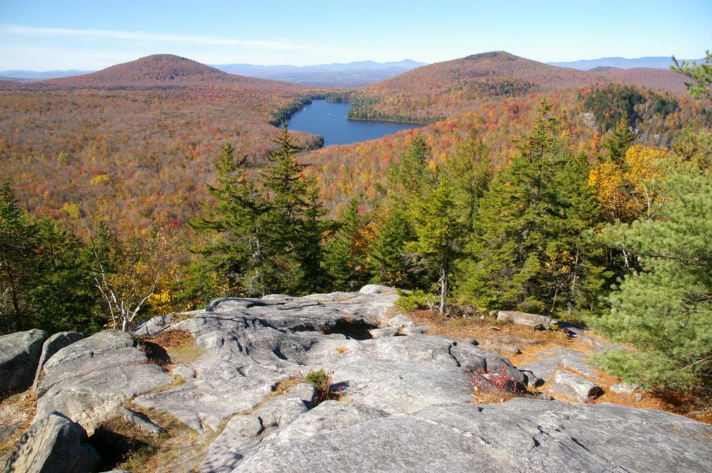
Spruce Mountain, Vermont

Owl's Head
Vermont Vista
Stowe Free Library

Frozen Kettle Pond in Infrared

Templeton Rd Foliage

September Foliage

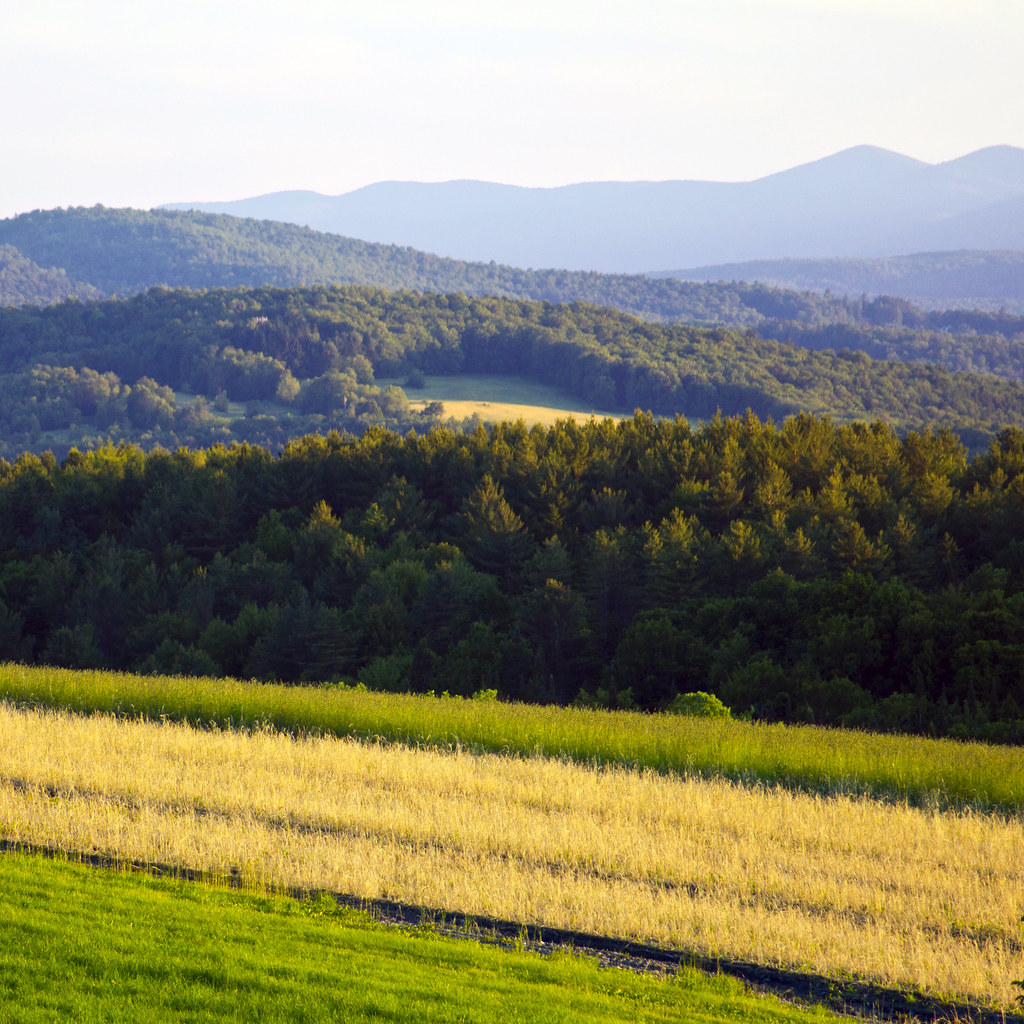
Field of Gold

Infrared Kettle Pond
Vermont Sky

October Evening

Center Rd.

Center Road
vt_hdr_027.jpg
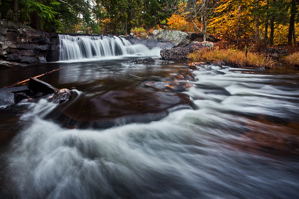
Little Unnamed Waterfall in Vermont

Camels Hump in Springtime

Autumn on the Center Road

Camels Hump Sunset

On a calmer day
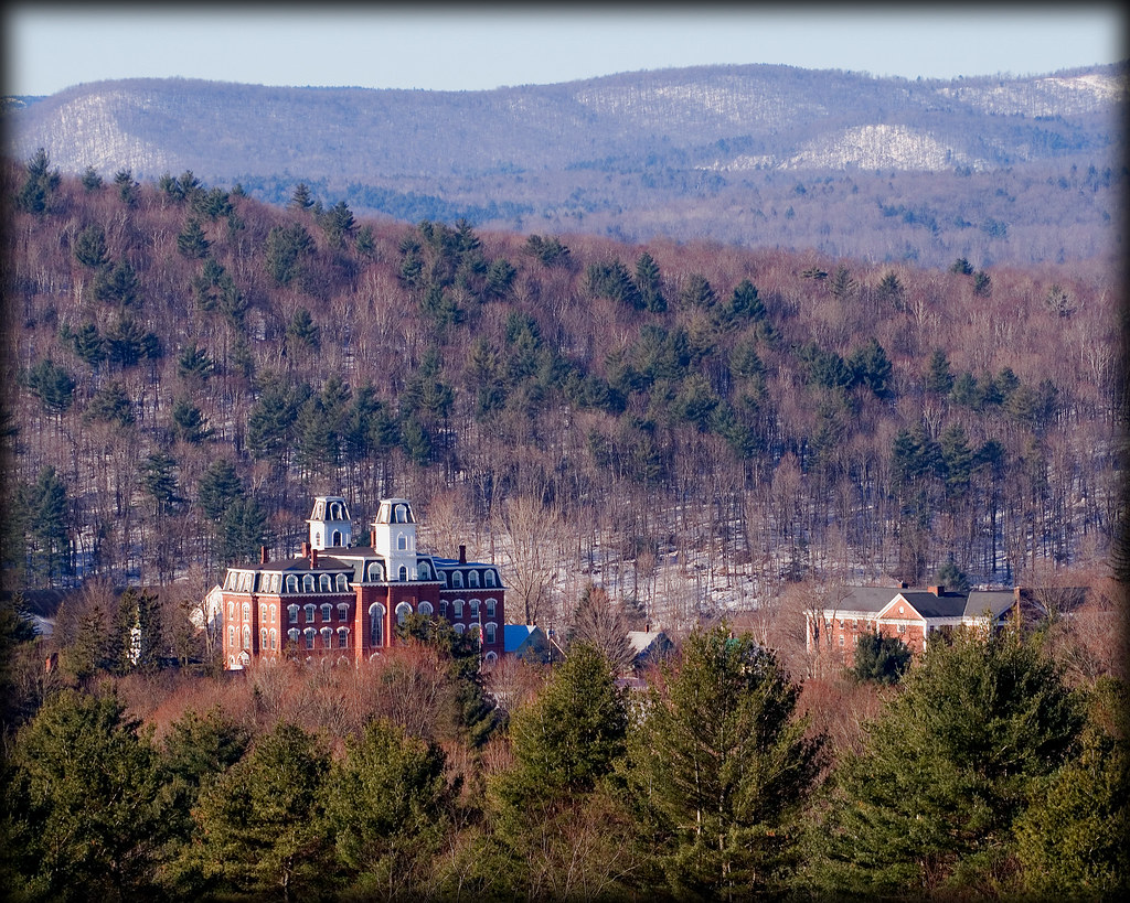
Vermont College
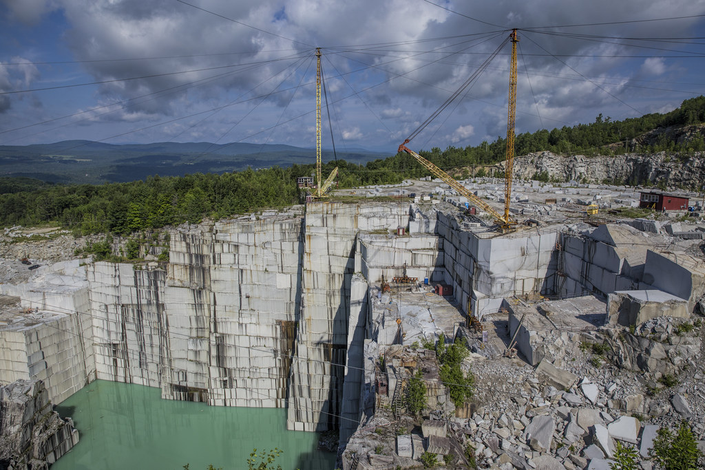
E.L. Smith Quarry - Barre, Vermont
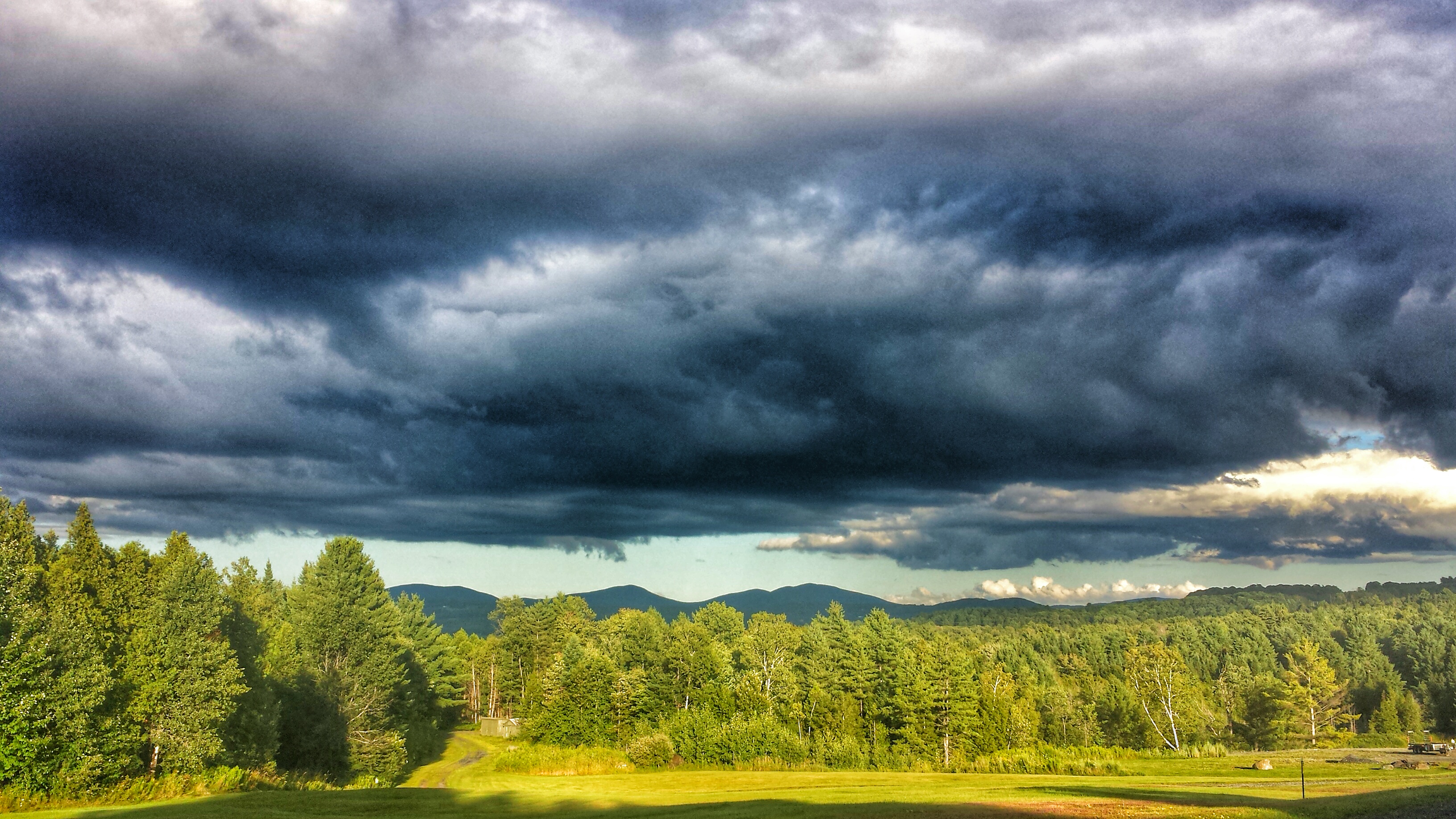
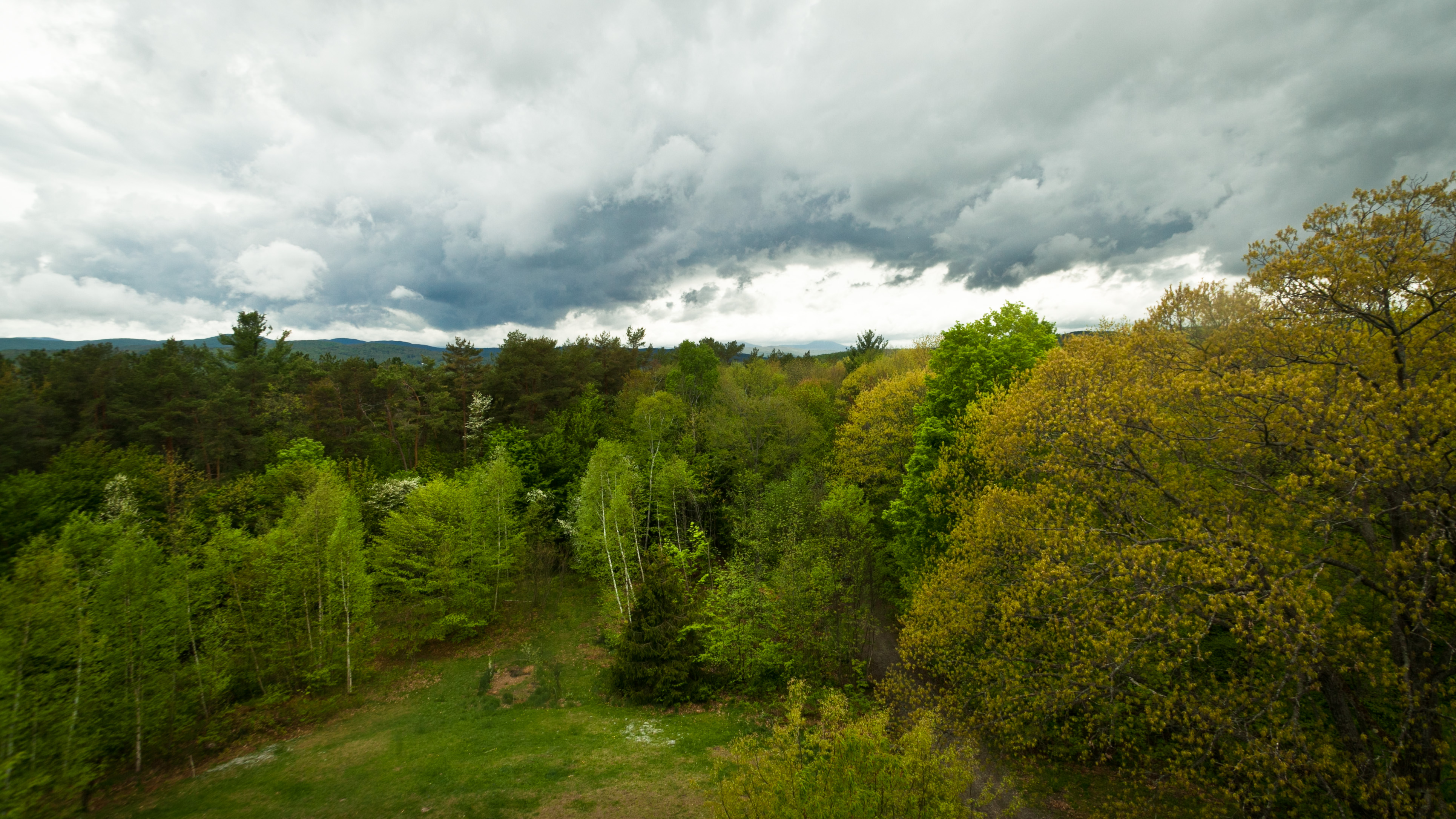
Cloud drama
Topographic Map of Spruce Mountain Rd, Plainfield, VT, USA
Find elevation by address:

Places near Spruce Mountain Rd, Plainfield, VT, USA:
Brook Rd, Barre, VT, USA
4645 Brook Rd
849 Reservoir Rd
144 George St
Orange
176 Prechtl Rd
176 Prechtl Rd
176 Prechtl Rd
176 Prechtl Rd
128 Provencher Ln
110 Provencher Ln
Riddel Pond
Groton
80 Emery Rd
East Orange
Owl's Head Mountain
Owls Head Mt.
Groton State Forest
Hosmer Brook Road
105 Spoor Rd
Recent Searches:
- Elevation of Slanický ostrov, 01 Námestovo, Slovakia
- Elevation of Spaceport America, Co Rd A, Truth or Consequences, NM, USA
- Elevation of Warwick, RI, USA
- Elevation of Fern Rd, Whitmore, CA, USA
- Elevation of 62 Abbey St, Marshfield, MA, USA
- Elevation of Fernwood, Bradenton, FL, USA
- Elevation of Felindre, Swansea SA5 7LU, UK
- Elevation of Leyte Industrial Development Estate, Isabel, Leyte, Philippines
- Elevation of W Granada St, Tampa, FL, USA
- Elevation of Pykes Down, Ivybridge PL21 0BY, UK