Elevation of Borborwet Secondary School, Kenya
Location: Kenya > Kericho County > Borborwet >
Longitude: 35.2157511
Latitude: -0.3430173
Elevation: 1990m / 6529feet
Barometric Pressure: 80KPa
Elevation Map:
Satellite Map:
Related Photos:
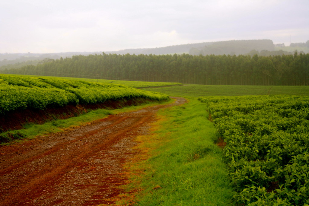
Tea plantations near Kericho (Rift Valley)

Seas of teas

Water towers project of East Africa
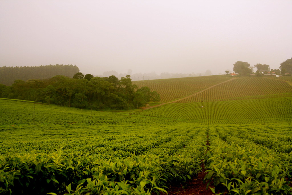
Tea plantations near Kericho (Rift Valley)

Tea Pickers

Sea of Tea and Pickers too

Anyone for tea? #whyilovekenya #Kericho #tea #igkenya #nairobi #kenya

IMG_1437.JPG

Kericho waterfalls

Kericho county Kenya
Topographic Map of Borborwet Secondary School, Kenya
Find elevation by address:

Places near Borborwet Secondary School, Kenya:
Borborwet
Kapnandet Primary School
Kipkoiyan
Kapsoit
Kapsoit Ilhub Petrol Station
Kericho
Koru
Kericho County
Aic Komirmir
Kugerwet
Tinderet
Kimolwet Dispensary
Migingo
Bomet
Chebara
Bomet County
Chebara Primary School
Molo
Siongiroi
St Andrew's School, Turi
Recent Searches:
- Elevation of 15th Ave SE, St. Petersburg, FL, USA
- Elevation of Beall Road, Beall Rd, Florida, USA
- Elevation of Leguwa, Nepal
- Elevation of County Rd, Enterprise, AL, USA
- Elevation of Kolchuginsky District, Vladimir Oblast, Russia
- Elevation of Shustino, Vladimir Oblast, Russia
- Elevation of Lampiasi St, Sarasota, FL, USA
- Elevation of Elwyn Dr, Roanoke Rapids, NC, USA
- Elevation of Congressional Dr, Stevensville, MD, USA
- Elevation of Bellview Rd, McLean, VA, USA