Elevation of Koru, Kenya
Location: Kenya > Kisumu County >
Longitude: 35.266667
Latitude: -0.183333
Elevation: 1413m / 4636feet
Barometric Pressure: 85KPa
Elevation Map:
Satellite Map:
Related Photos:
CO 1069-185-400

CO 1069-185-404

CO 1069-185-403

CO 1069-185-402

CO 1069-185-398

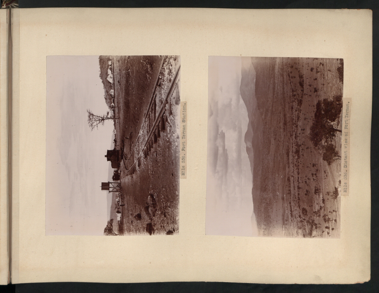
Mountains along the Great Rift Valley.
Topographic Map of Koru, Kenya
Find elevation by address:

Places near Koru, Kenya:
Kapsoit Ilhub Petrol Station
Kapsoit
Borborwet
Borborwet Secondary School
Tinderet
Kapnandet Primary School
Kipkoiyan
Kericho
Kericho County
Aic Komirmir
Kugerwet
Molo
Mount Londiani Forest
Chebara
Chebara Primary School
St Andrew's School, Turi
Kimolwet Dispensary
Migingo
Rongai
Bomet
Recent Searches:
- Elevation of Beall Road, Beall Rd, Florida, USA
- Elevation of Leguwa, Nepal
- Elevation of County Rd, Enterprise, AL, USA
- Elevation of Kolchuginsky District, Vladimir Oblast, Russia
- Elevation of Shustino, Vladimir Oblast, Russia
- Elevation of Lampiasi St, Sarasota, FL, USA
- Elevation of Elwyn Dr, Roanoke Rapids, NC, USA
- Elevation of Congressional Dr, Stevensville, MD, USA
- Elevation of Bellview Rd, McLean, VA, USA
- Elevation of Stage Island Rd, Chatham, MA, USA