Elevation of Siongiroi, Kenya
Location: Kenya > Bomet County >
Longitude: 35.2107255
Latitude: -0.8933397
Elevation: 1867m / 6125feet
Barometric Pressure: 81KPa
Elevation Map:
Satellite Map:
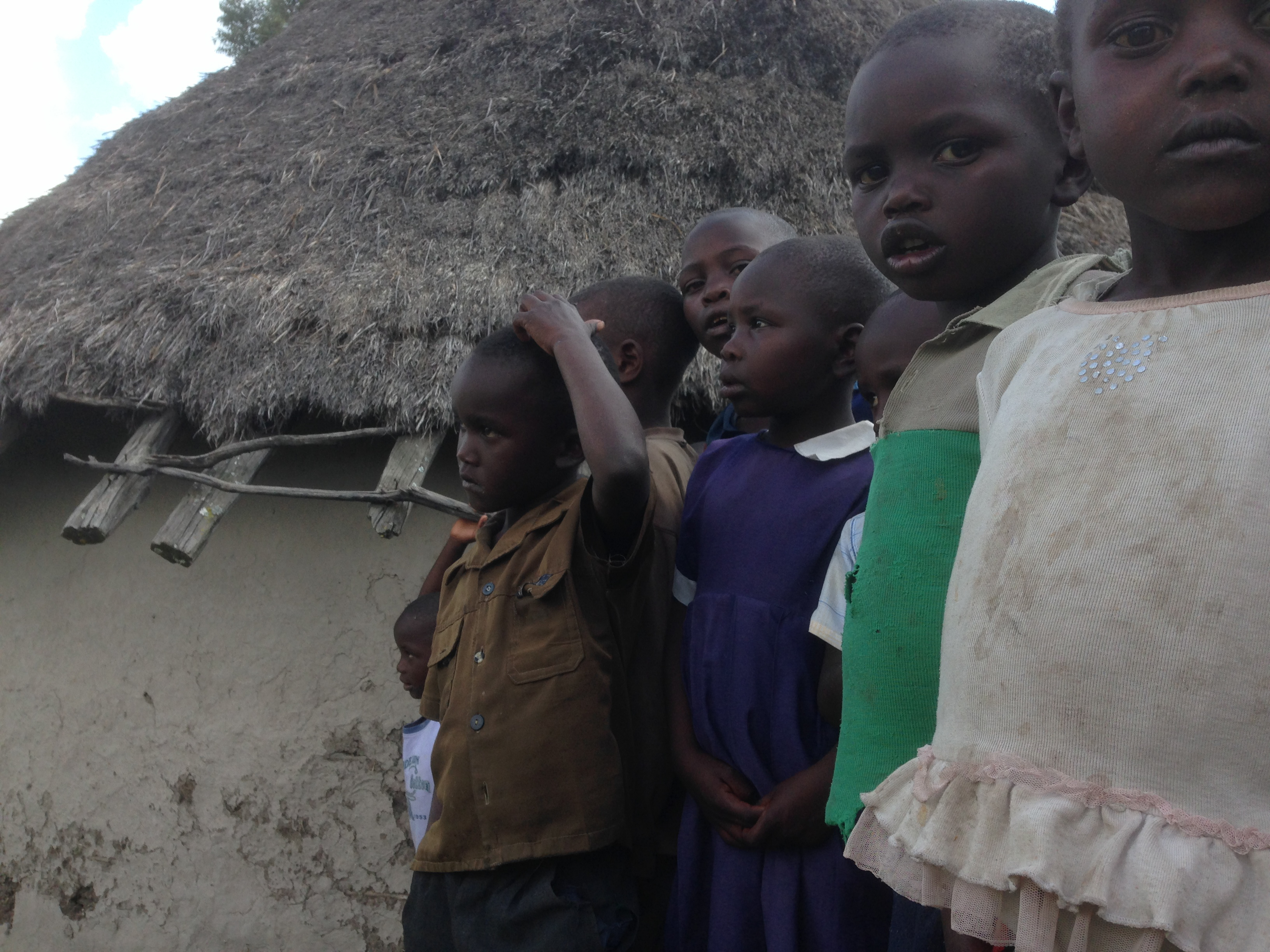
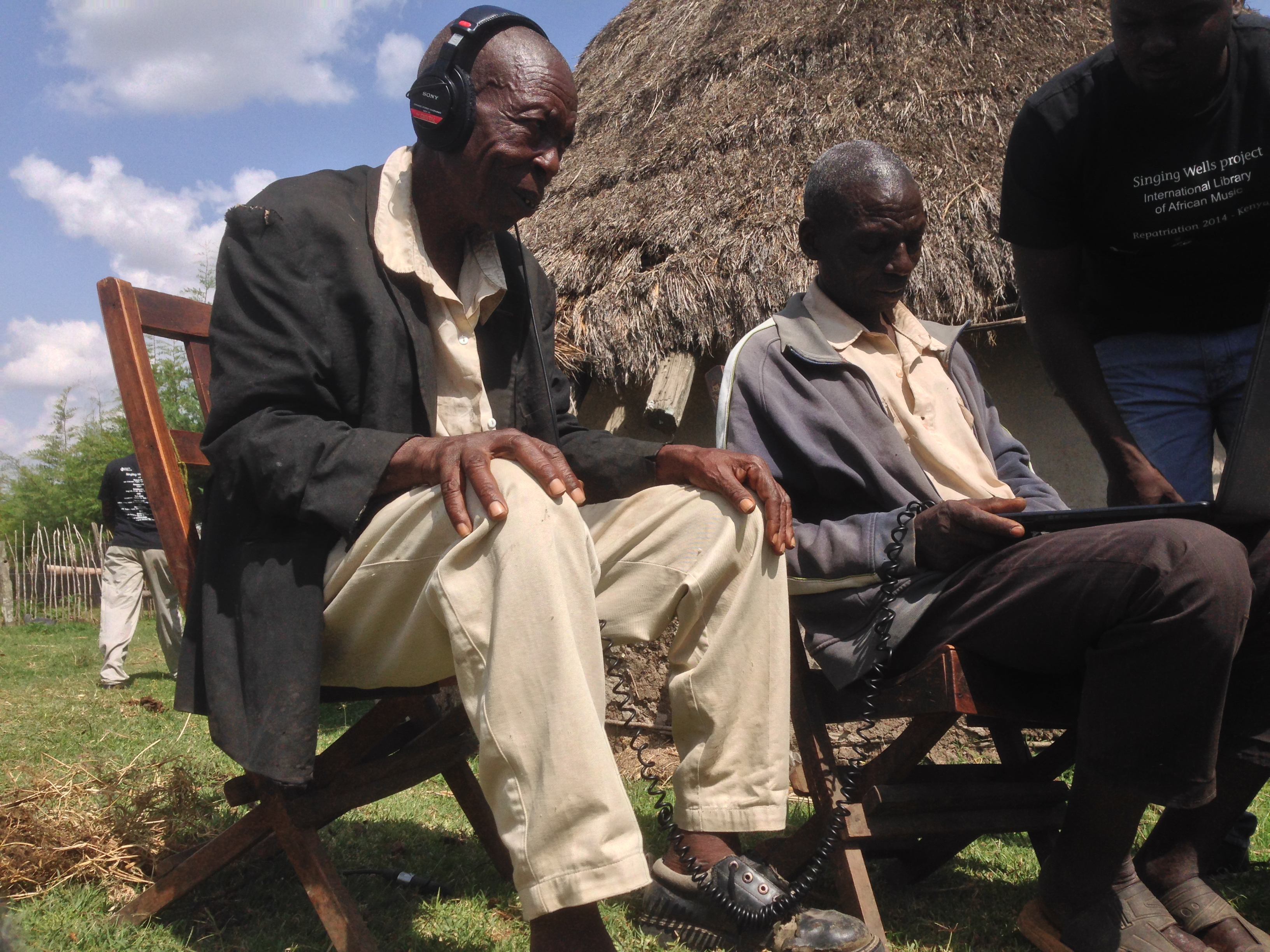
Related Photos:
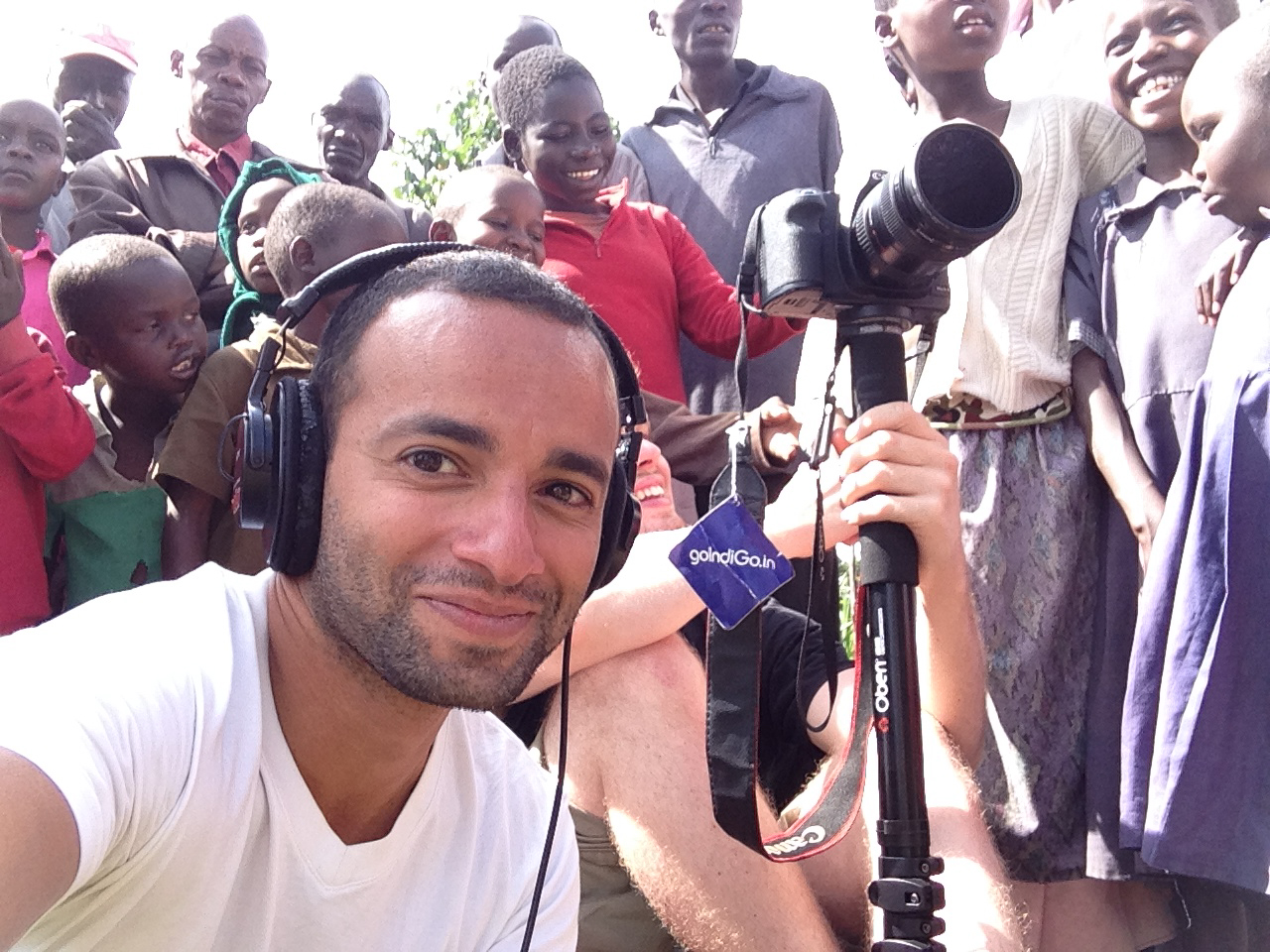
IMG_0960.jpg
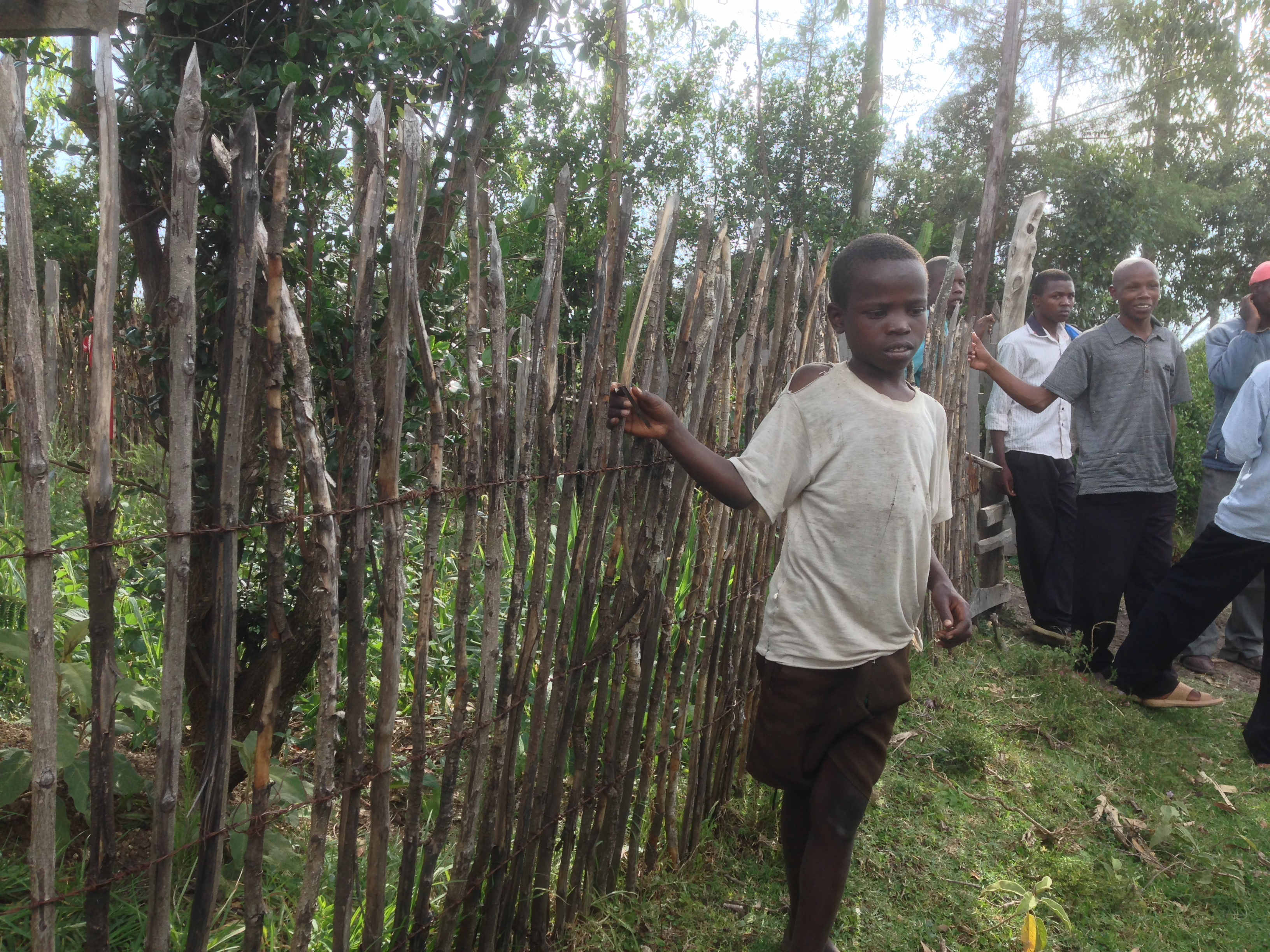
IMG_0976.jpg
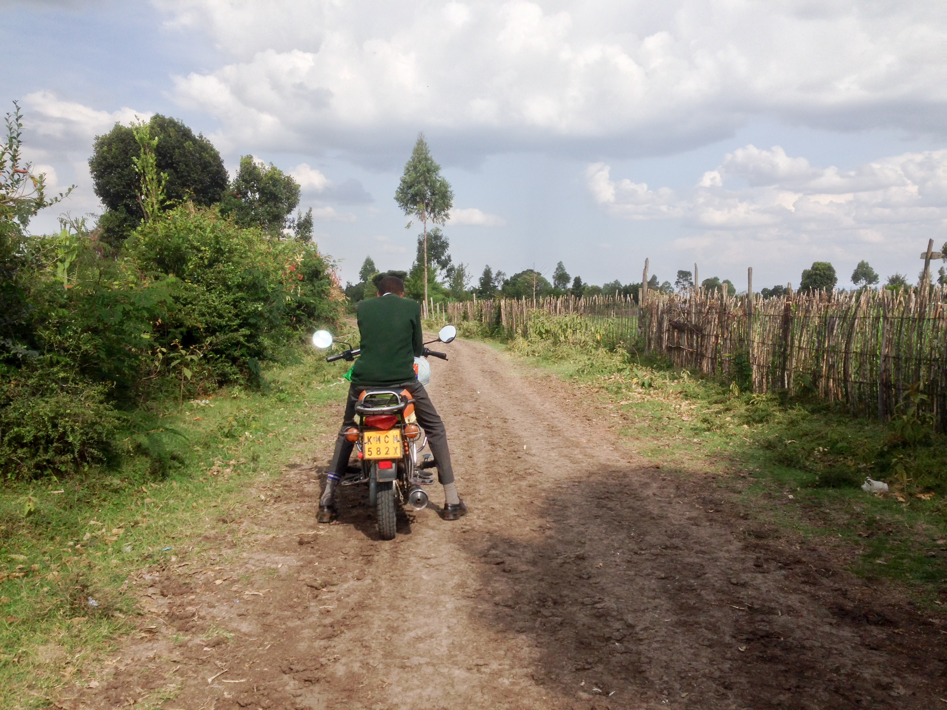
IMG_0972.jpg
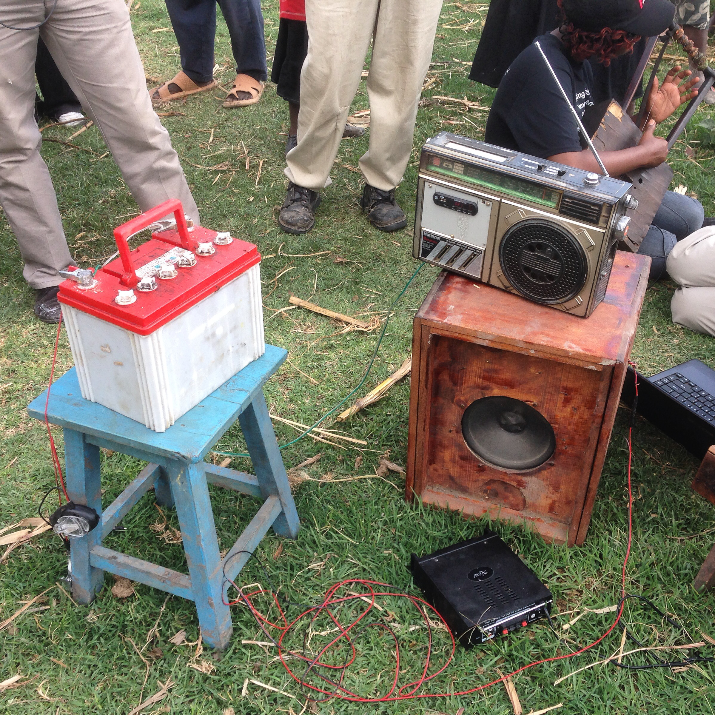
IMG_1050.jpg

IMG_0963.jpg
IMG_0961.jpg
IMG_0952.jpg

IMG_0948.jpg

Bomet County Peace Platform Action Planning
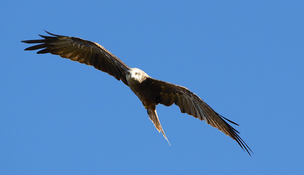
Black Kite in flight
Topographic Map of Siongiroi, Kenya
Find elevation by address:

Places near Siongiroi, Kenya:
Kaboson
Bomet County
Migingo
Bomet
Kimolwet Dispensary
Fairmont Mara Safari Club
Aic Komirmir
Kugerwet
Olare Mara Kempinski Masai Mara
Porini Lion Camp
Ololulunga
Koyaki
Kipkoiyan
Kericho
Kapnandet Primary School
Borborwet Secondary School
Borborwet
Kapsoit Ilhub Petrol Station
Kapsoit
Chebara
Recent Searches:
- Elevation of Tenjo, Cundinamarca, Colombia
- Elevation of Côte-des-Neiges, Montreal, QC H4A 3J6, Canada
- Elevation of Bobcat Dr, Helena, MT, USA
- Elevation of Zu den Ihlowbergen, Althüttendorf, Germany
- Elevation of Badaber, Peshawar, Khyber Pakhtunkhwa, Pakistan
- Elevation of SE Heron Loop, Lincoln City, OR, USA
- Elevation of Slanický ostrov, 01 Námestovo, Slovakia
- Elevation of Spaceport America, Co Rd A, Truth or Consequences, NM, USA
- Elevation of Warwick, RI, USA
- Elevation of Fern Rd, Whitmore, CA, USA